Nearby Essentials
-
Gas: Gas & Mini MarketDirections
Some listings may be paid partnerships.
Know a useful stop near this trail? Suggest a business
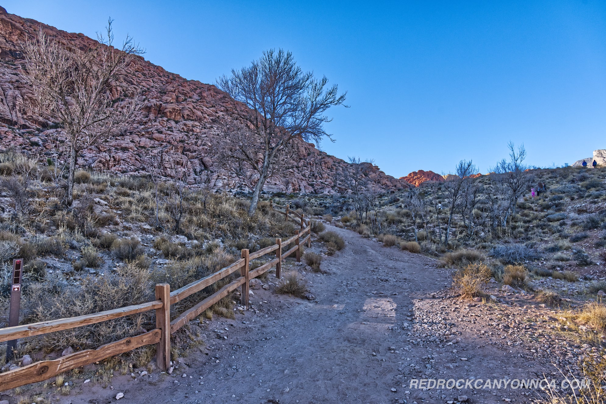
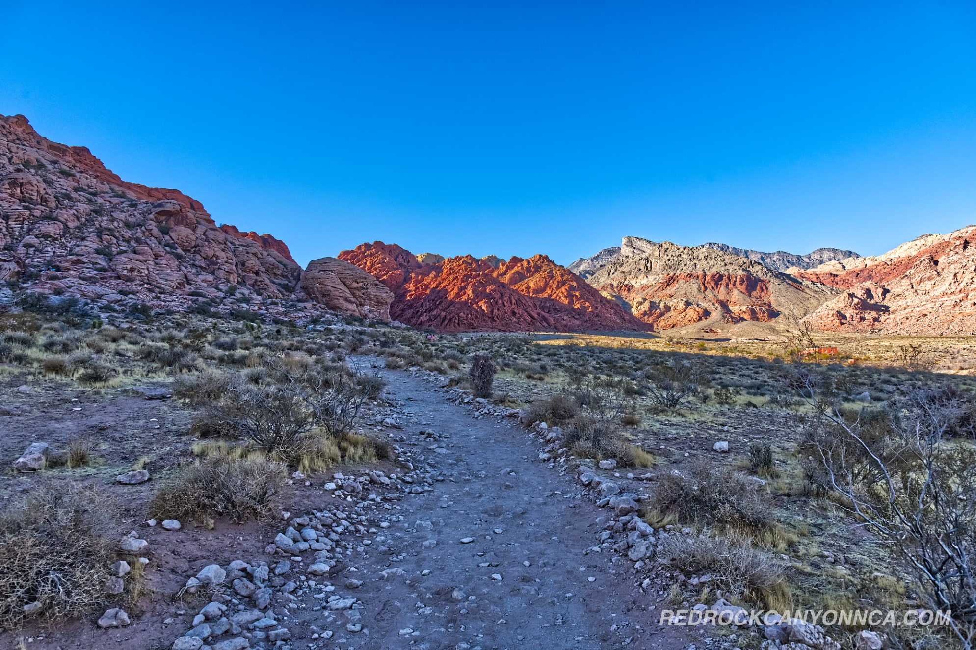
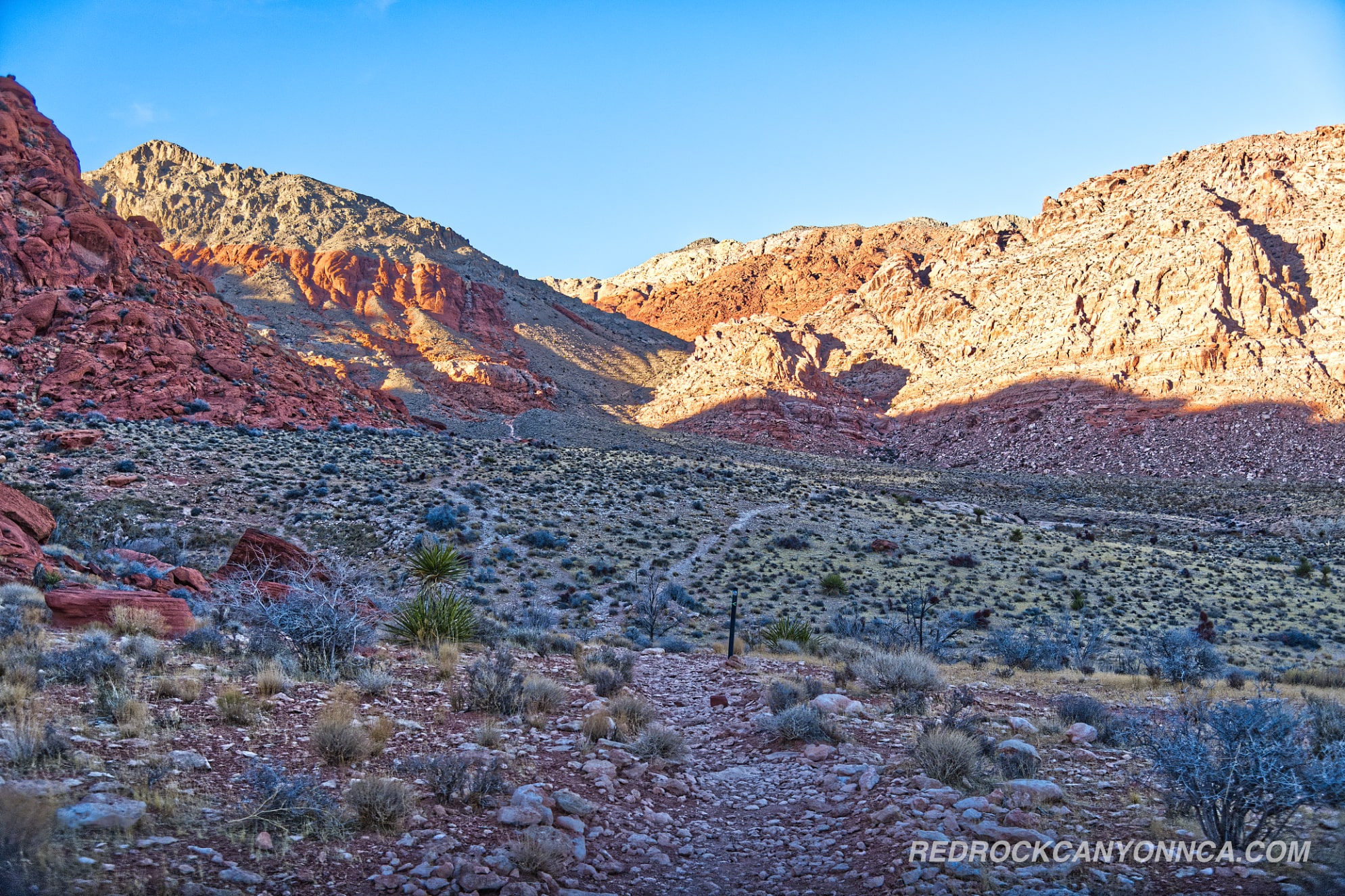
Calico Basin offers an immersive introduction to Red Rock Canyon’s signature red sandstone formations, with sweeping views across the entire basin and countless ways to explore its terrain. The area blends accessible boardwalk paths, elevated scenic overlooks, rugged foothill trails, and rocky sandstone sections that invite light scrambling. Because so many routes intersect here, hikers can venture in nearly any direction and still end up on something scenic. Thanks to Red Rock Canyon’s well-connected system of trails, it becomes remarkably easy to combine multiple routes into a custom distance—whether you want a quick hour-long loop or a multi-mile exploration stretching deep into the basin.
Calico Basin Options
Below are two popular combinations that showcase how flexible and interconnected the Calico Basin network is:
-
Calico Basin + Calico Overlook + Ash Spring + Girl Scout — 3.5 miles
A balanced route featuring gradual elevation, red rock views, shaded pockets near Ash Spring, and panoramic overlooks facing the Calico Hills. Ideal for hikers wanting variety without committing to a long push. -
Gene’s Trail + Kraft Mountain Loop + Calico Basin — 5 miles
A more adventurous combination that circles Kraft Mountain and extends into the basin. Expect a mix of rugged terrain, open desert stretches, and scenic ridgelines. This loop gives you a comprehensive sampling of Calico Basin’s diverse landscape.
Last updated: February 26, 2026