Nearby Essentials
No essentials listed yet.
Some listings may be paid partnerships.
Know a useful stop near this trail? Suggest a business
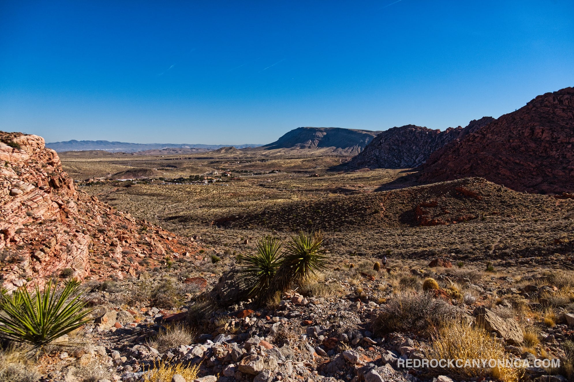
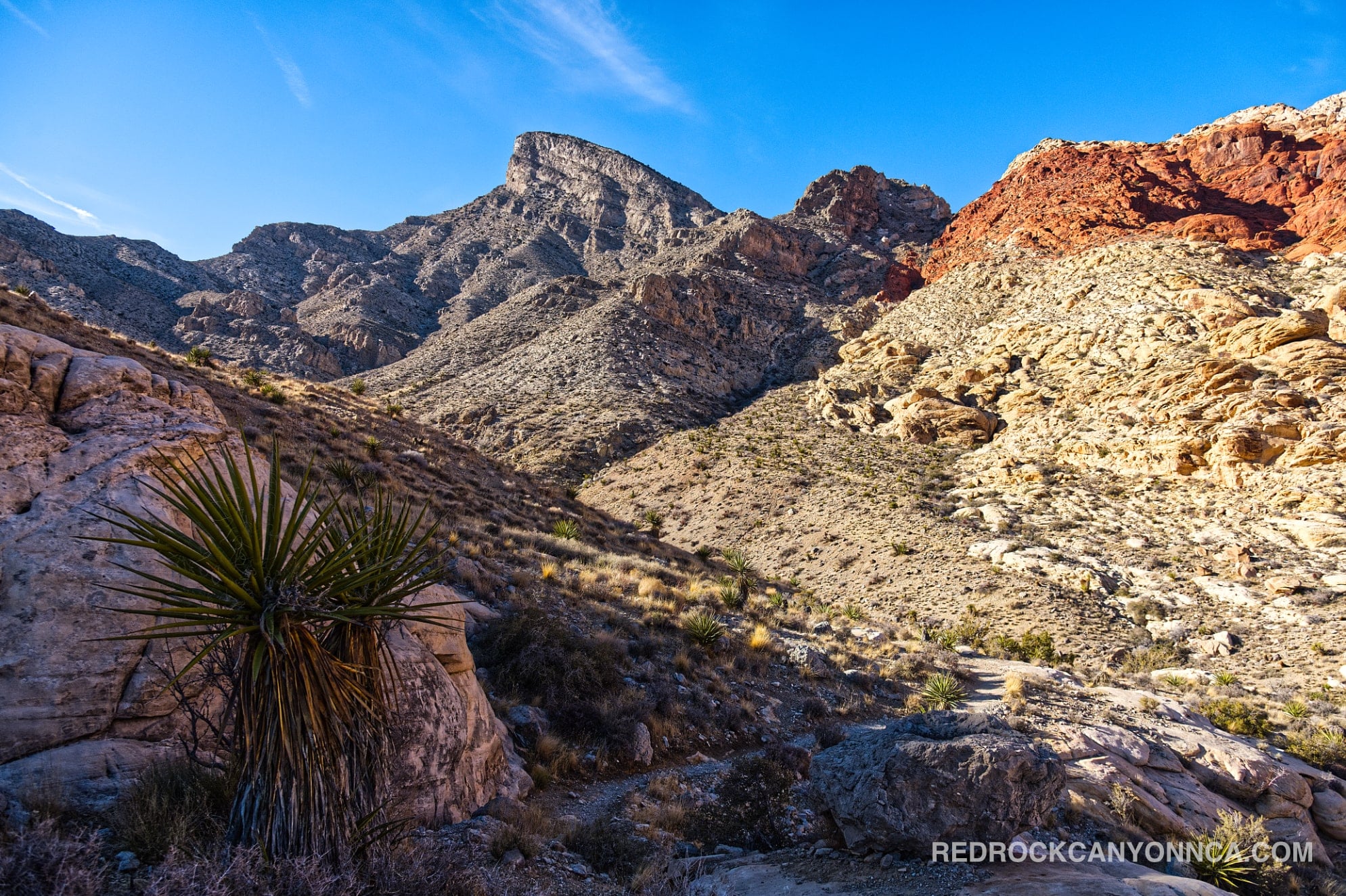
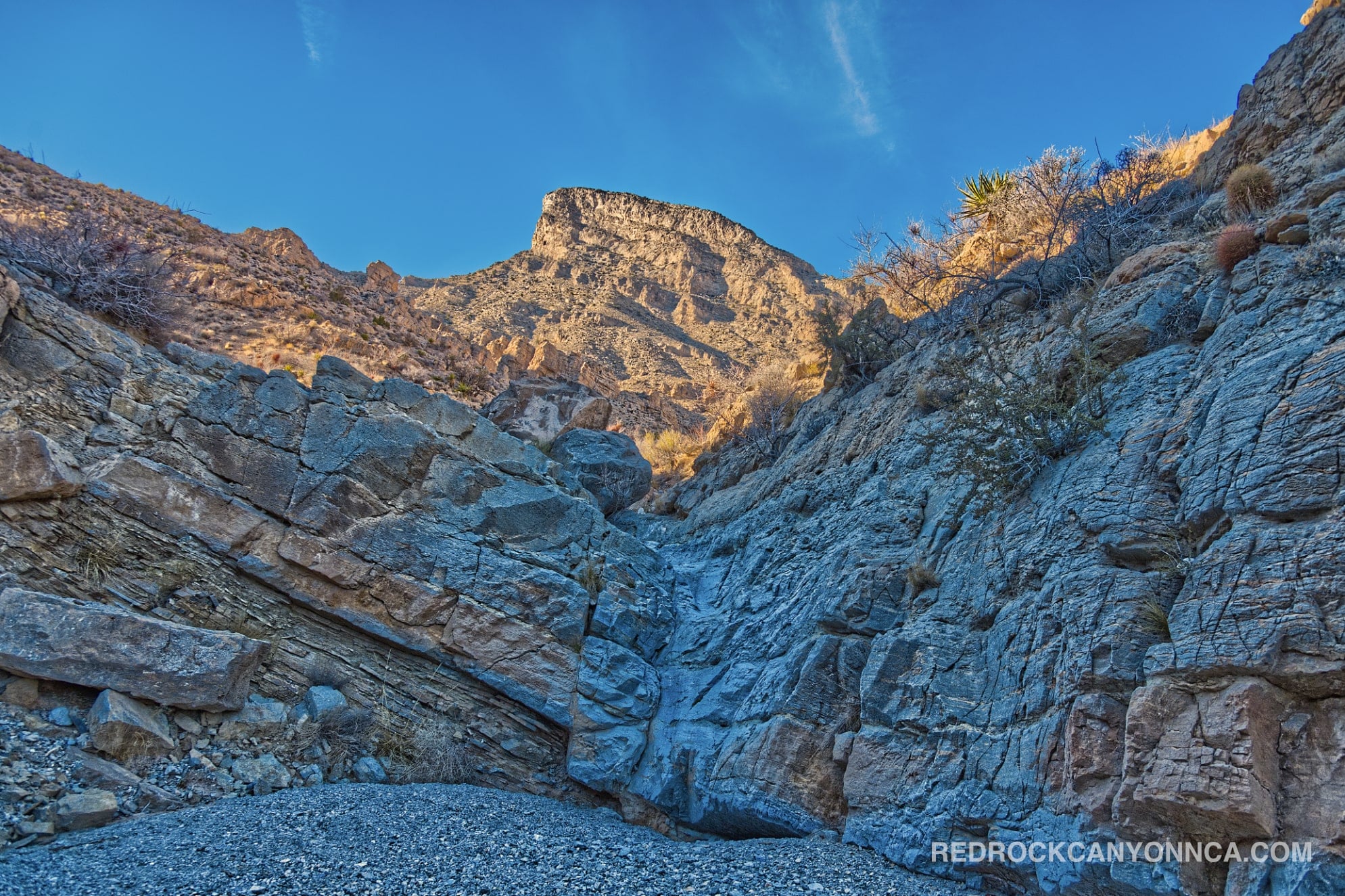
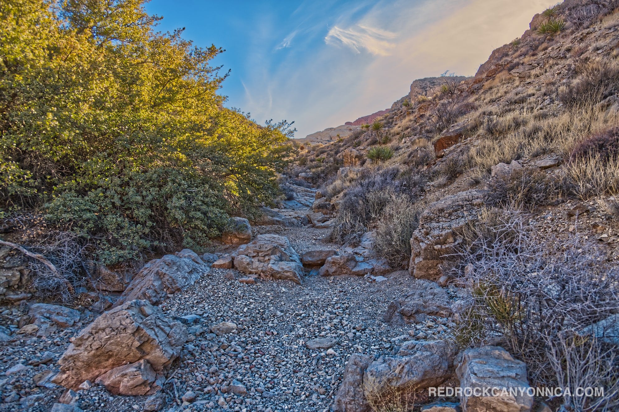
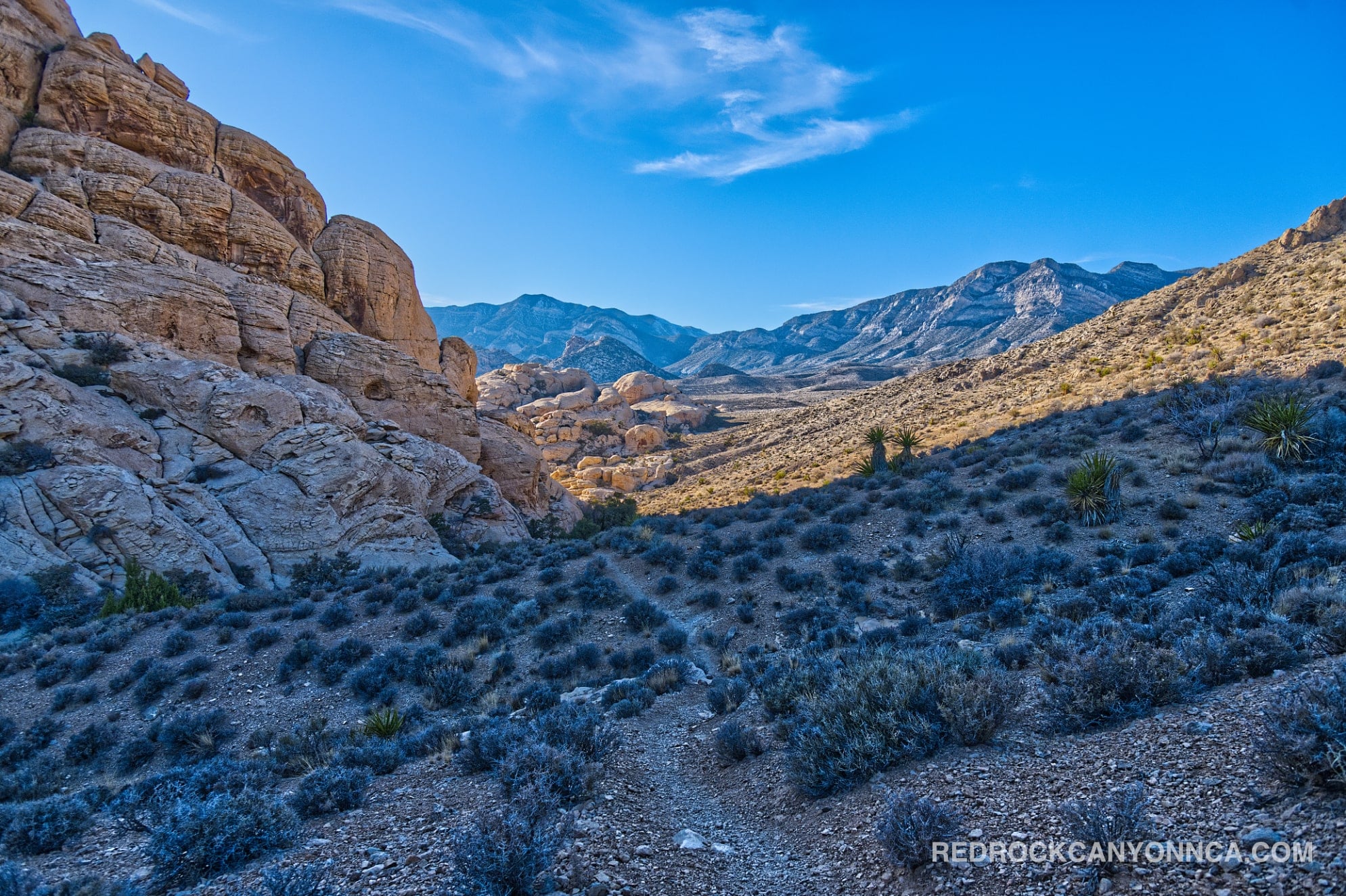
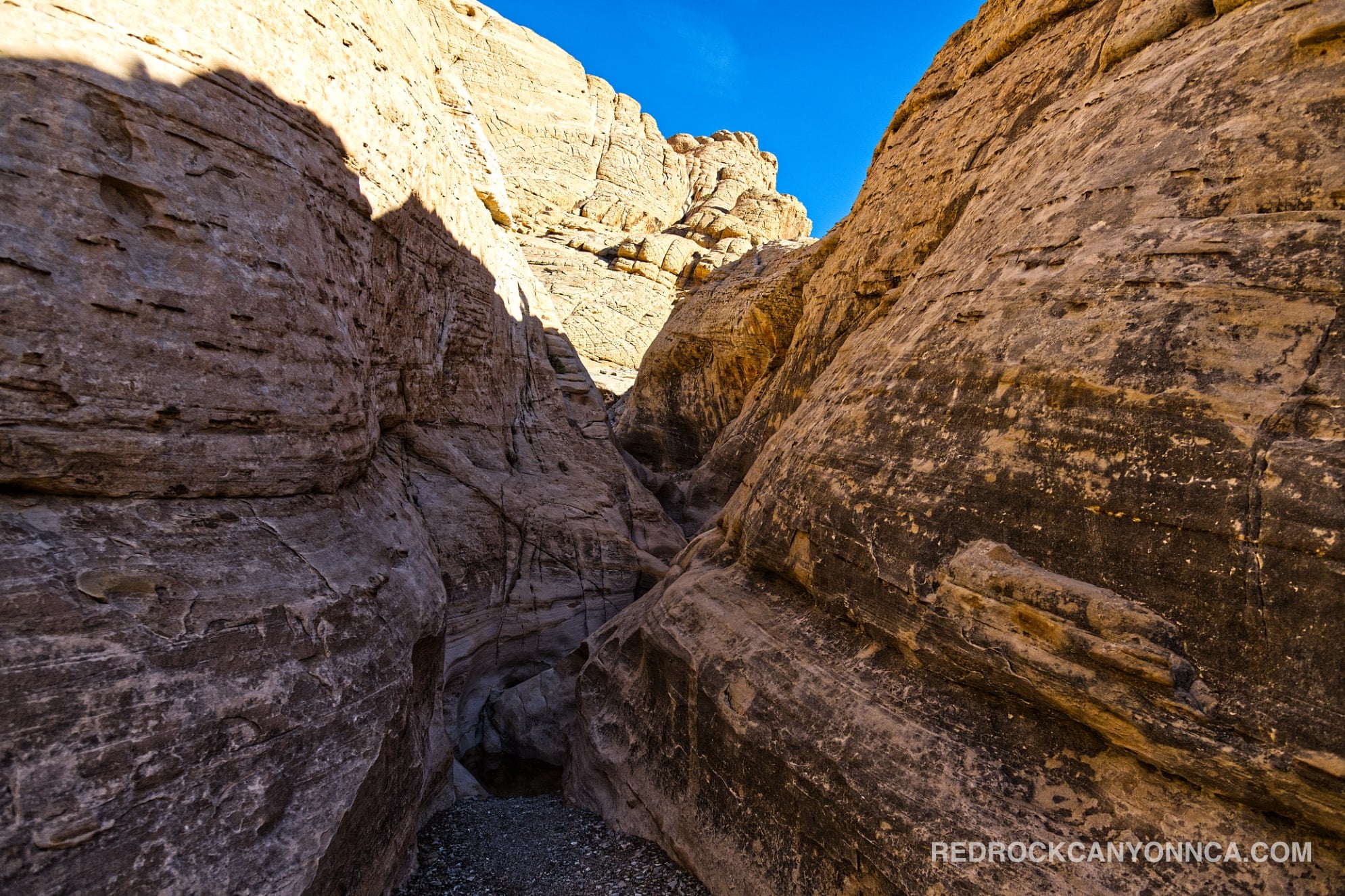
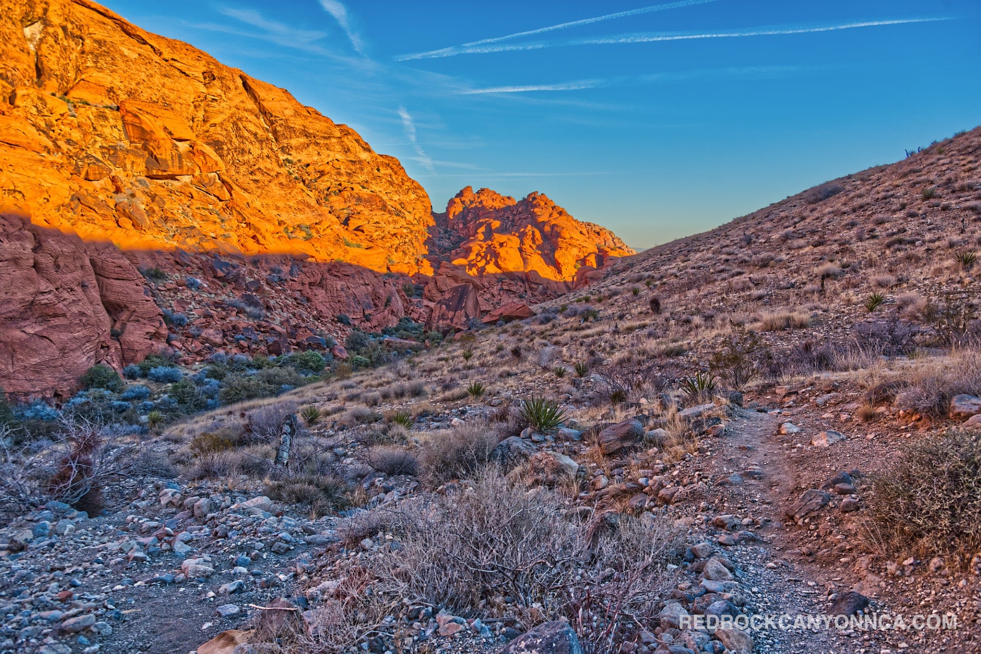
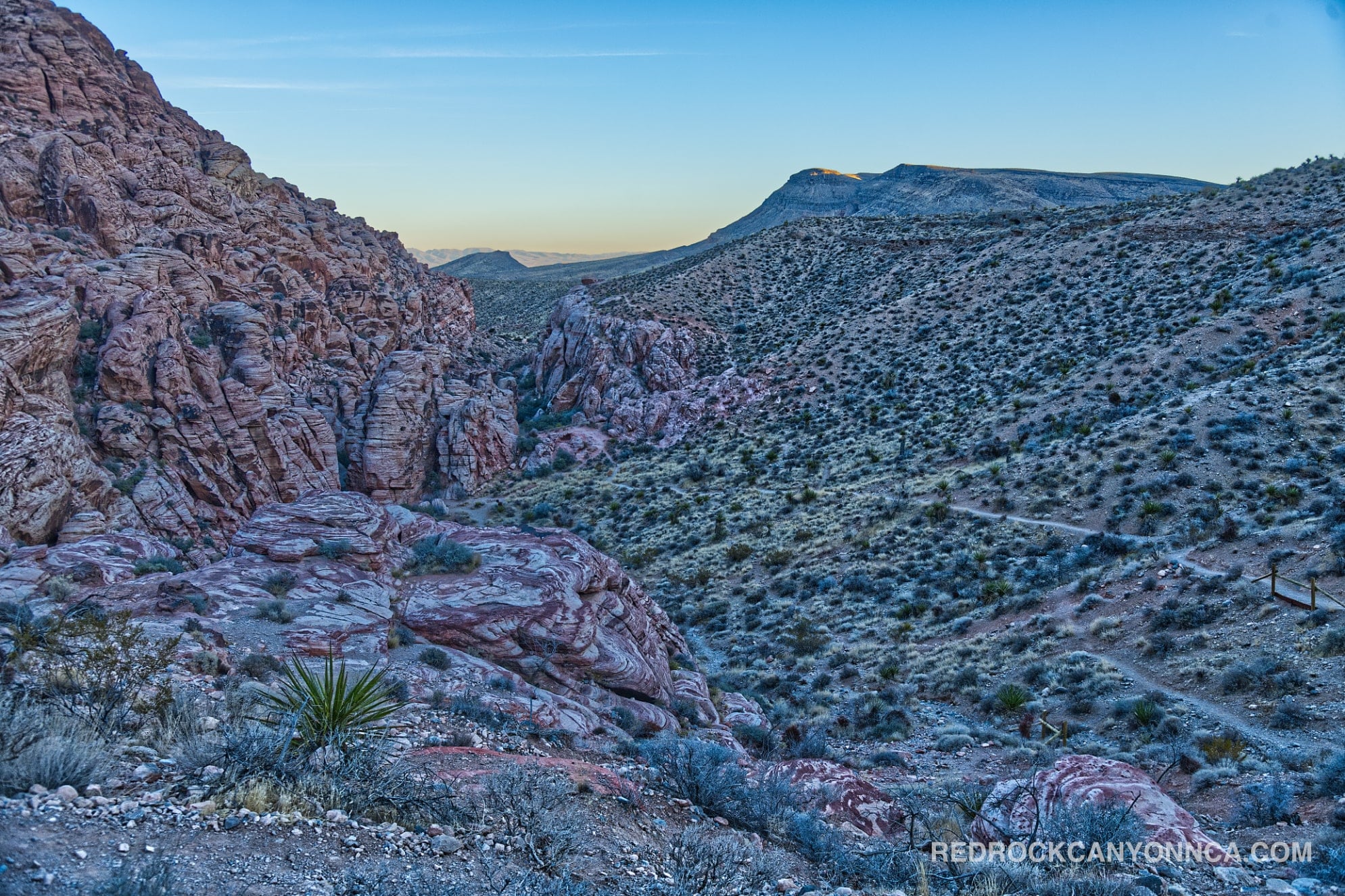
Weather you hike counter-clockwise or clockwise, you'll undoubtedly explore sections of the park you've most likely never seen before. This extensive loop combines Hell Hill, Upper Gateway Canyon, Calico Tanks, Calico Hills, Calico Overlook, sections of Kraft Mountain, and Rattlesnake. You'll journey through Pink Goblin Pass, stretches of rock that look like scenes from Mars, rural, and high traffic areas. Furthermore, halfway into your journey, you'll scrape the surface of Ash Canyon, another remote area with nothing less than awesome rock formations, tight passages, and trails that hug a boulder ridden canyon.
Calico Hills Loop Trail - A Remote Red Rock Experience
Not only is this combination of trails an adventure, but it exposes you to regions you wouldn't otherwise venture into. By doing this, you'll gain a deeper understanding of the park's geography, reducing your chances of getting lost while increasing your ability to explore unsanctioned routes in the future. The Calico Hills Loop Trail is a perfect way to spend a day in Red Rock Canyon, especially if you're looking for a longer hike that takes you off the beaten path.
Last updated: February 11, 2026