Nearby Essentials
No essentials listed yet.
Some listings may be paid partnerships.
Know a useful stop near this trail? Suggest a business
Middle Oak Creek Trailhead to Knoll
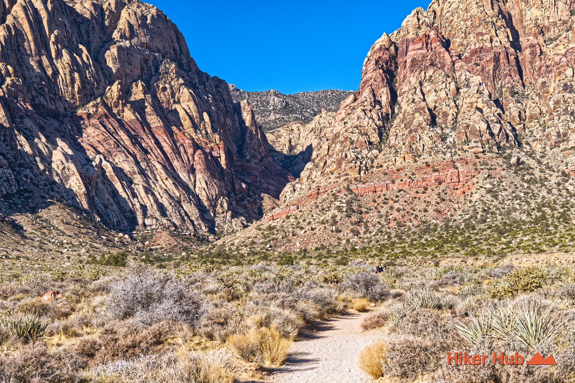
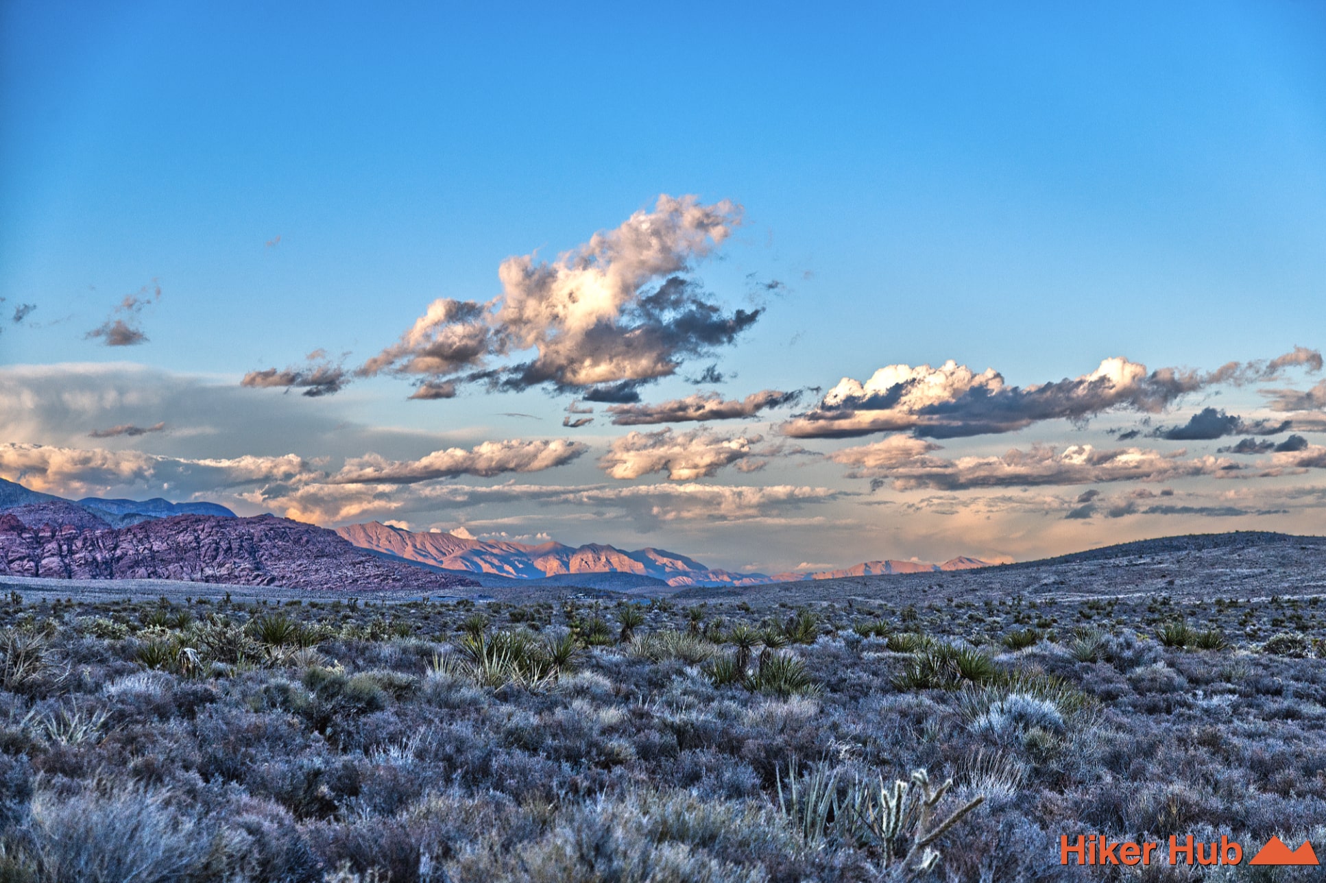
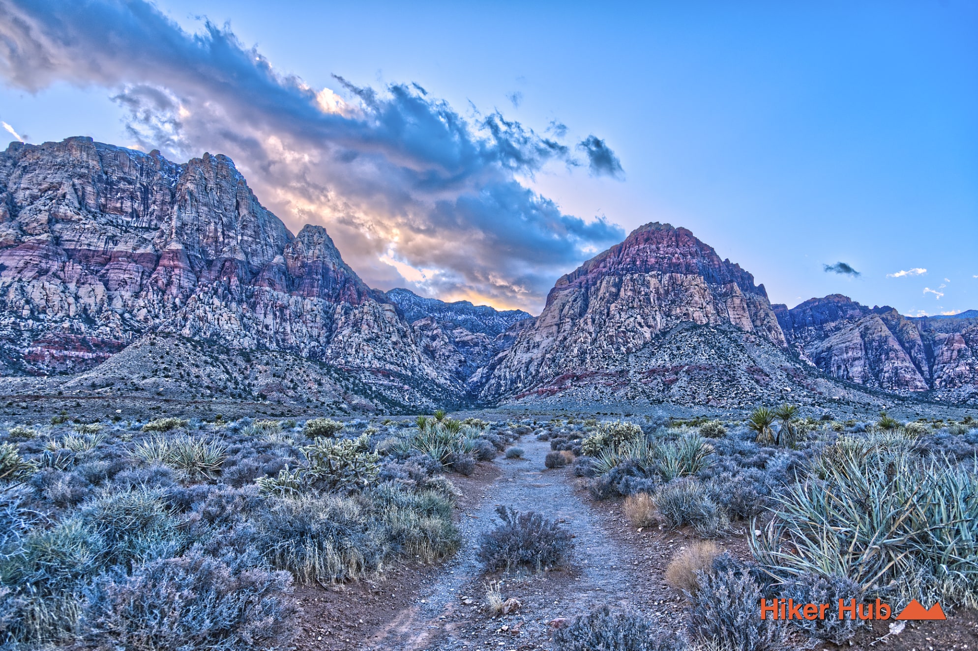
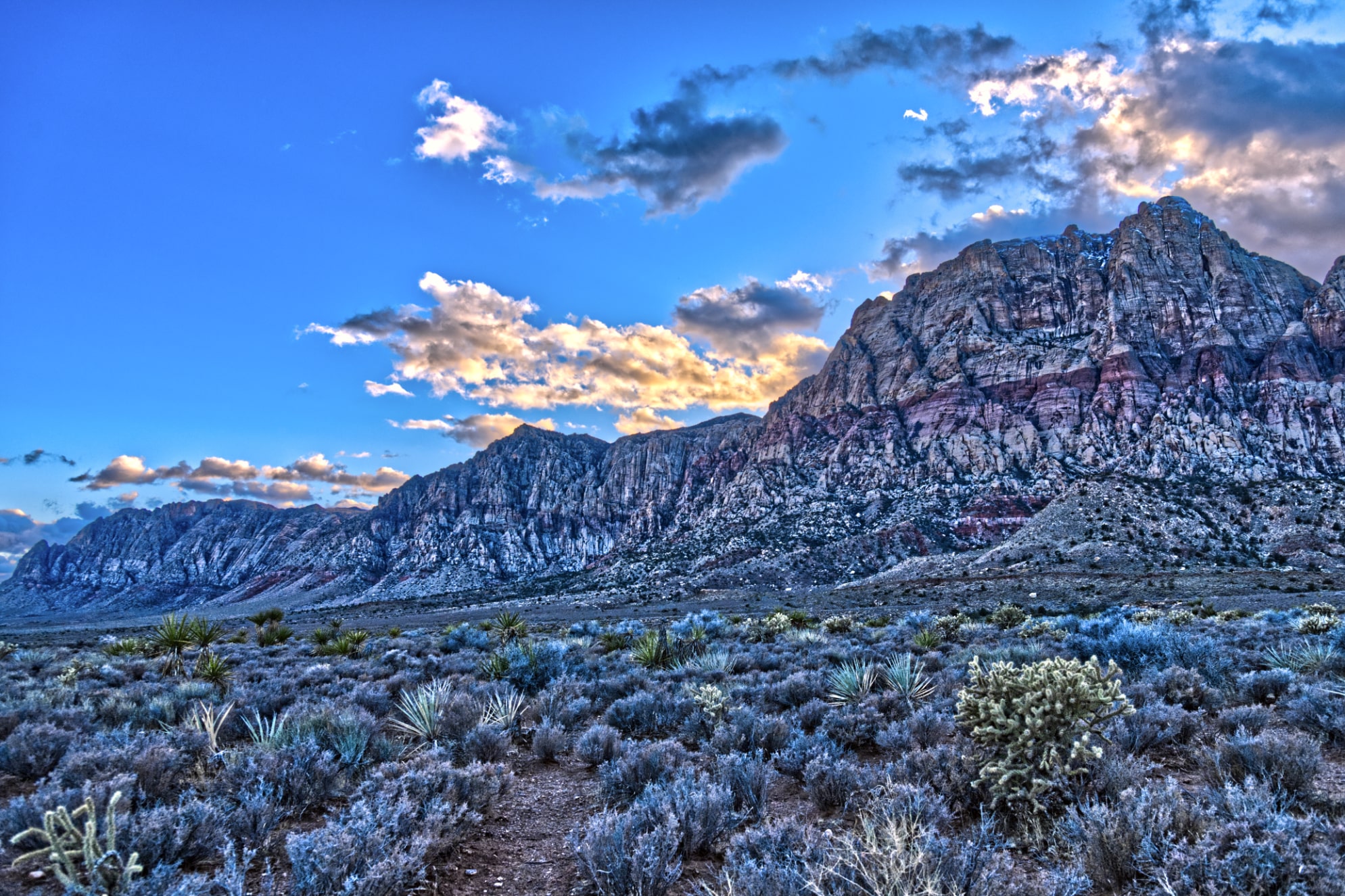
From the Middle Oak Creek area, the route toward Knoll follows a wide, open desert corridor framed by some of Red Rock Canyon’s most dramatic geology. To your left rise the massive Wilson Cliffs, towering walls of red and cream Aztec Sandstone that dominate the western edge of the Conservation Area. To your right, the Spring Mountains stretch into long ridgelines and dark limestone peaks, marking the transition from Mojave Desert lowlands to the cooler alpine terrain surrounding Mount Charleston.
The landscape here feels spacious and quiet, shaped by broad washes, scattered juniper and pinyon, and uninterrupted views in all directions. Seasonal runoff from the high peaks occasionally feeds the Oak Creek drainage, creating small pockets of vegetation and drawing wildlife into the area. As you continue toward Knoll, the terrain shifts into classic Oak Creek scenery—smooth sandstone slabs, rugged outcrops, and expansive views framed by the Wilson Cliffs and Rainbow Wall.
Last updated: February 20, 2026