Nearby Essentials
No essentials listed yet.
Some listings may be paid partnerships.
Know a useful stop near this trail? Suggest a business
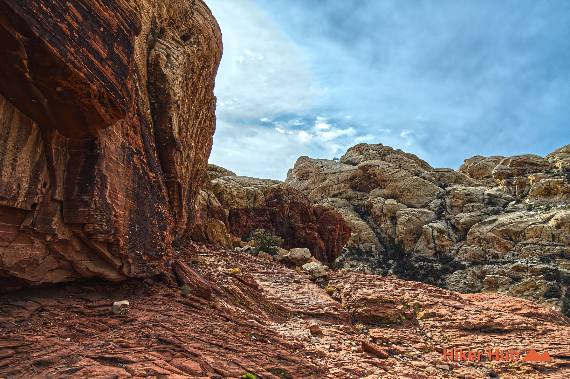
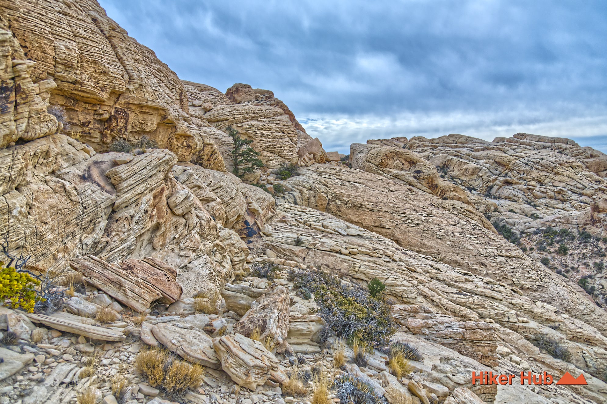
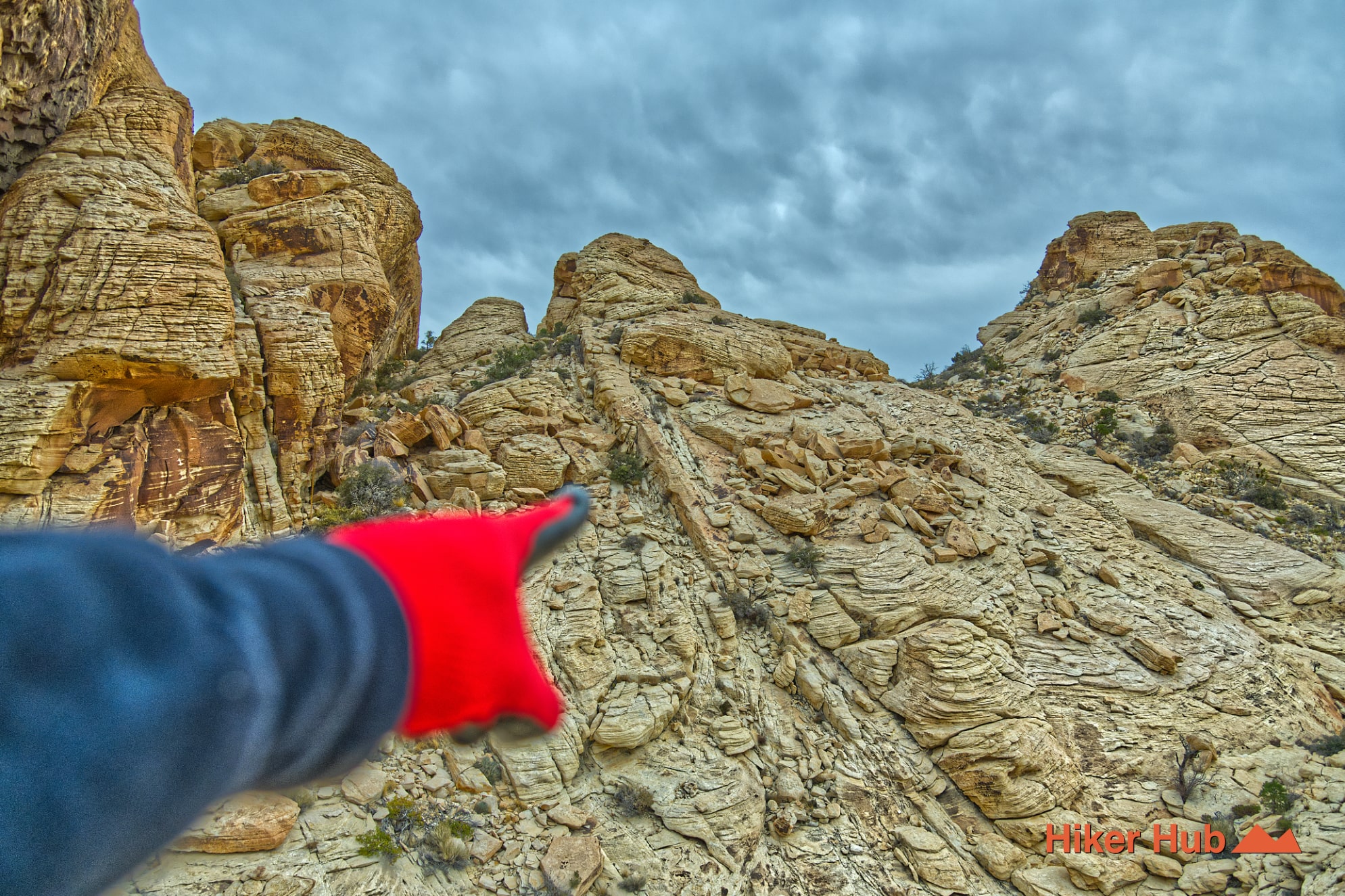
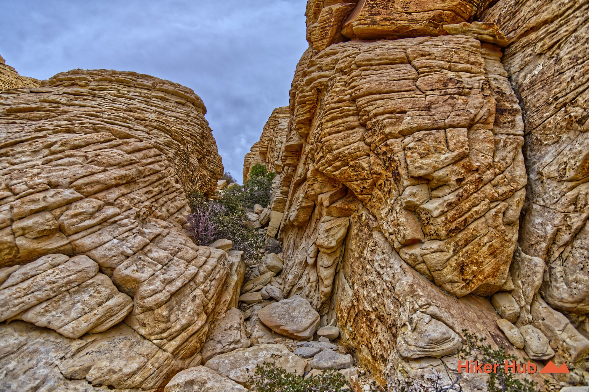
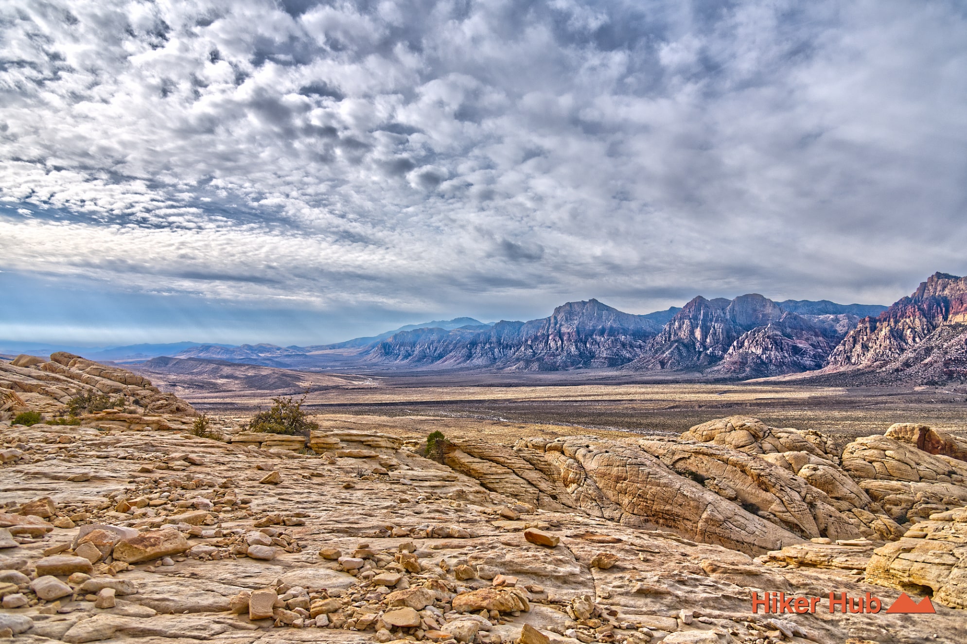
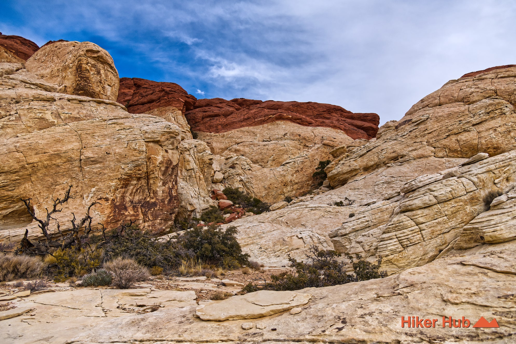
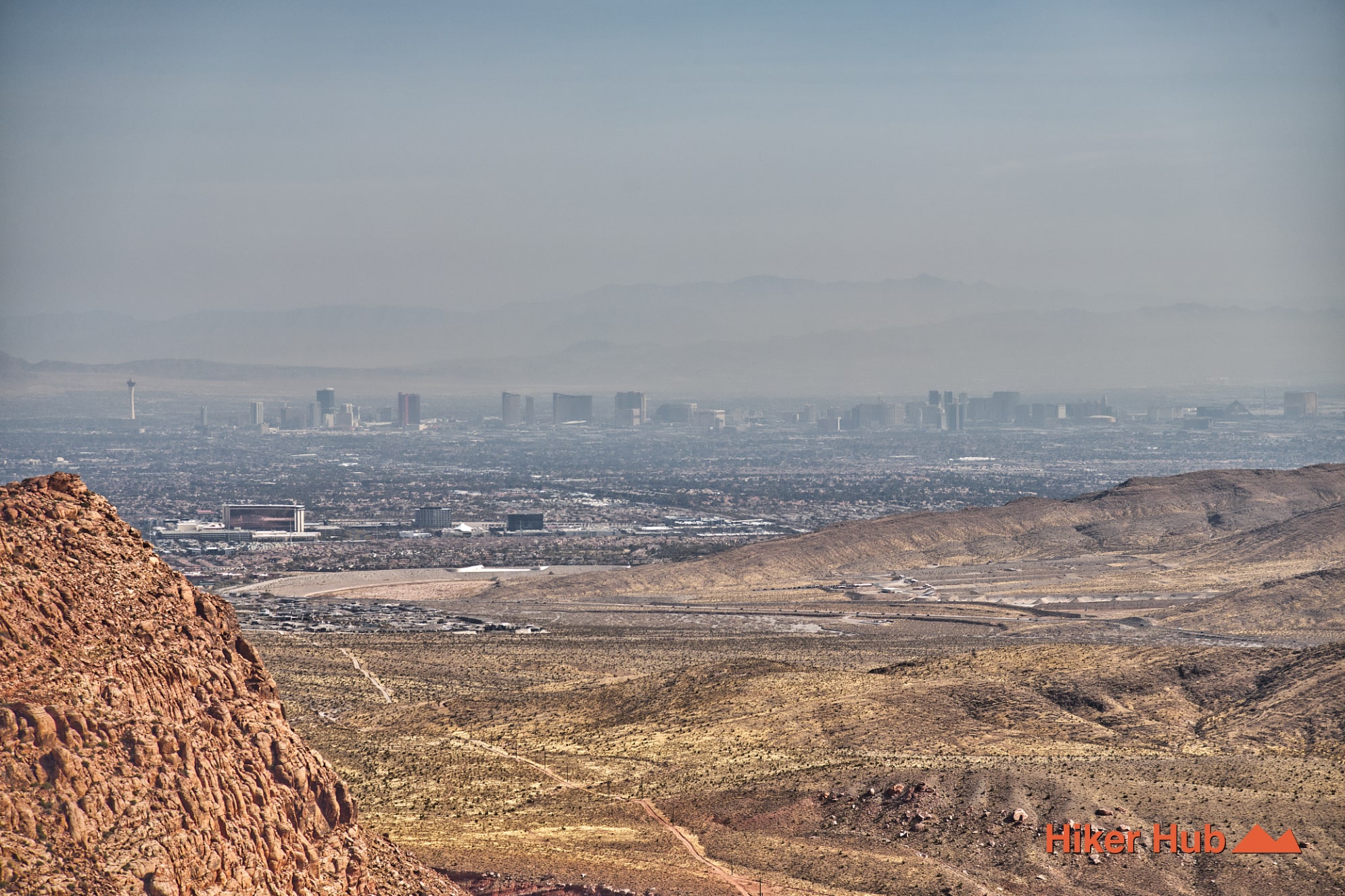
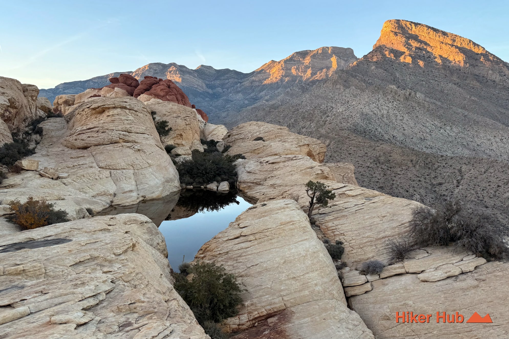
This unsanctioned route, commonly referred to as Red Cap, is both confusing and unlike any other path in the area. To begin, head toward Calico Tanks, then veer left onto an unmarked corridor that climbs a deceptively mild-looking slope. The mountain appears easy from below, but the terrain quickly transforms into a maze of sandstone ramps, tilted slabs, and ledges. The ascent narrows into a tight, steep crevice where you’ll squeeze between massive boulders before emerging onto open sandstone resembling the aftermath of a natural rockfall. As you gain height along the rim of the Calico Basin, Red Cap Red Rock Canyon reveals sweeping panoramas—full views of The Las Vegas Strip, seasonal pools tucked into the rock, and over 270 degrees of uninterrupted scenery.
Red Cap Red Rock Canyon
Because Red Cap is not a BLM-sanctioned trail, it doesn’t appear on official Red Rock Canyon maps. Instead, it typically shows up on Google Maps, AllTrails, and various hiking forums as a “social route,” meaning it formed organically from repeated foot traffic rather than being intentionally built or marked. This can cause confusion for first-time visitors: BLM-listed trails are formal routes maintained, monitored, and signed within the Conservation Area, while Google Maps trails often include informal paths, scramble routes, and unnamed connectors created by decades of hikers exploring the sandstone.
While Red Cap Red Rock Canyon requires more care, route-finding, and awareness than standard trails, exploring these miscellaneous “no-name” routes can be an excellent way to familiarize yourself with the park’s terrain. They reveal patterns of the land you wouldn’t notice otherwise—how washes connect, where sandstone transitions into loose gravel, how ridges lead naturally into basins, and which viewpoints align with the surrounding mountains. These unmarked paths help hikers build a deeper sense of geography, allowing for more confident navigation across the massive Red Rock Canyon trail system.
Red Cap isn’t simply a summit; it’s an immersive lesson in the landscape. For experienced hikers seeking a raw, hands-on adventure with some of the best views in the Calico Hills, this unsanctioned gem stands out as one of the most memorable experiences in Red Rock Canyon.
Last updated: February 17, 2026