Nearby Essentials
No essentials listed yet.
Some listings may be paid partnerships.
Know a useful stop near this trail? Suggest a business
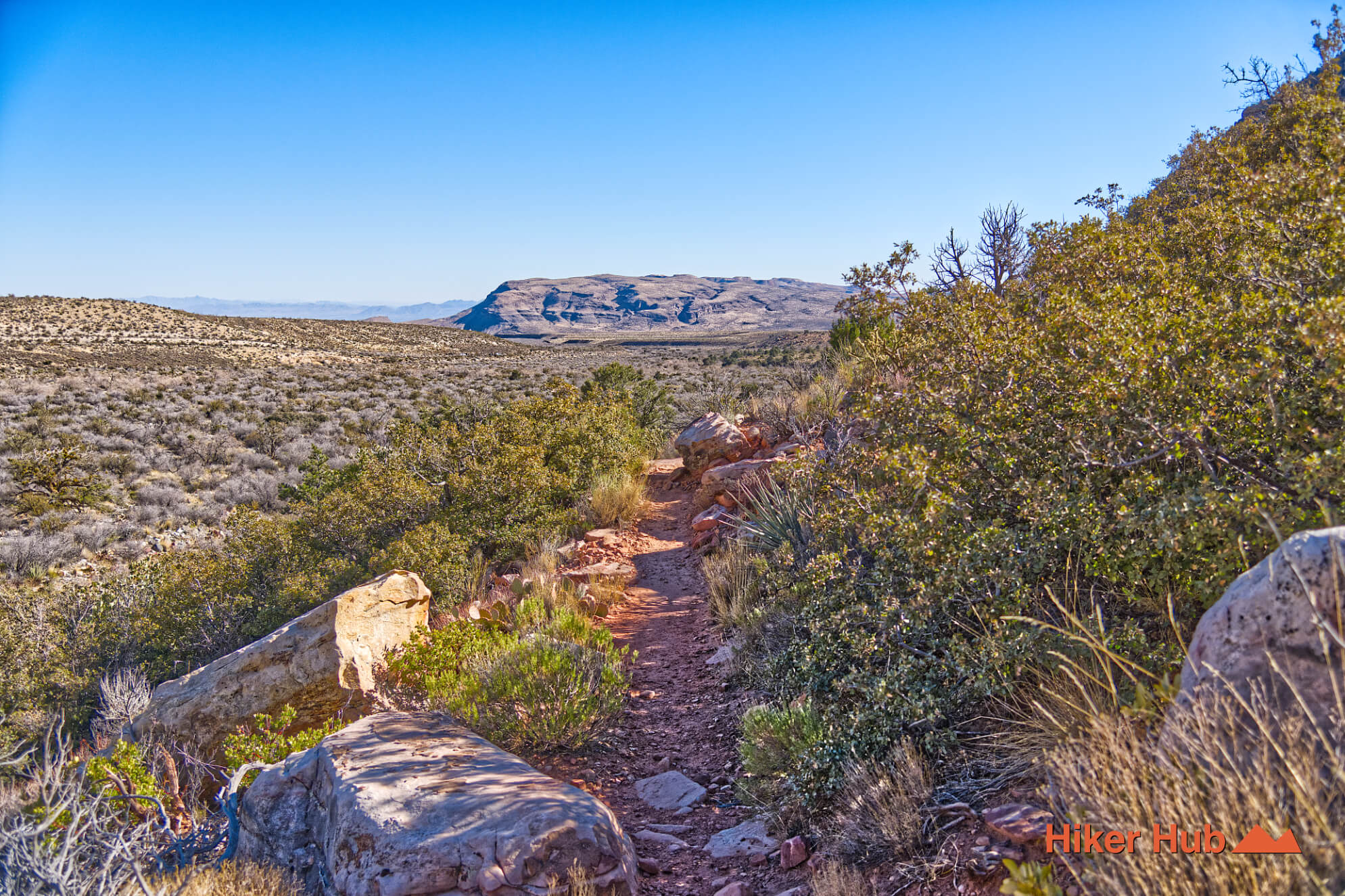
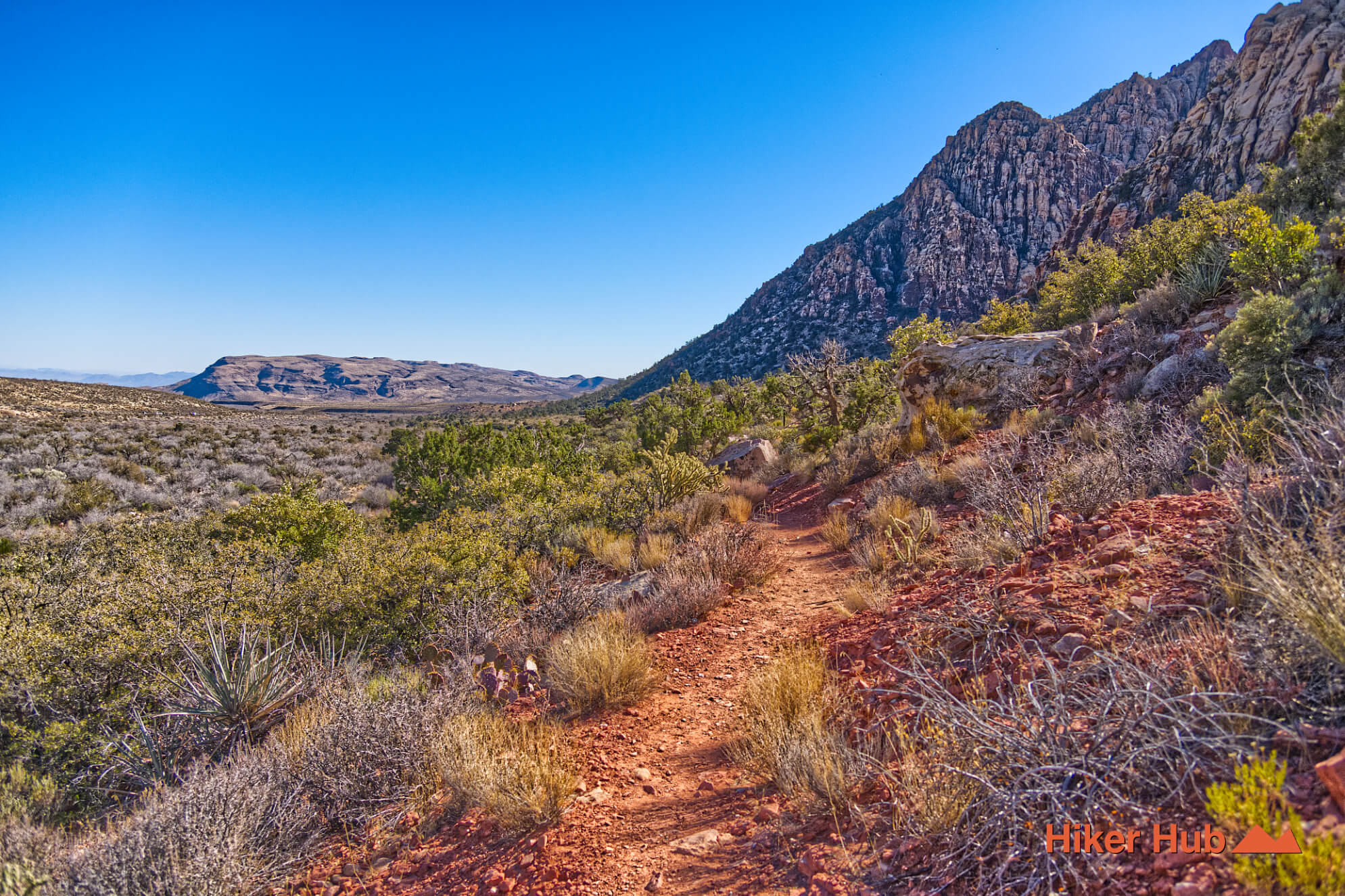
SMYC Canyon Route
The SMYC Canyon Route runs along the eastern edge of the Spring Mountains in the region of the Spring Mountain Youth Camp (SMYC), a long-term correctional facility for young men. In partnership with the U.S. Forest Service, members of the youth camp have played a direct role in the creation and long-term maintenance of this trail. Their work extends beyond this route and can also be seen on Mount Charleston, with stewardship efforts dating back more than 30 years.
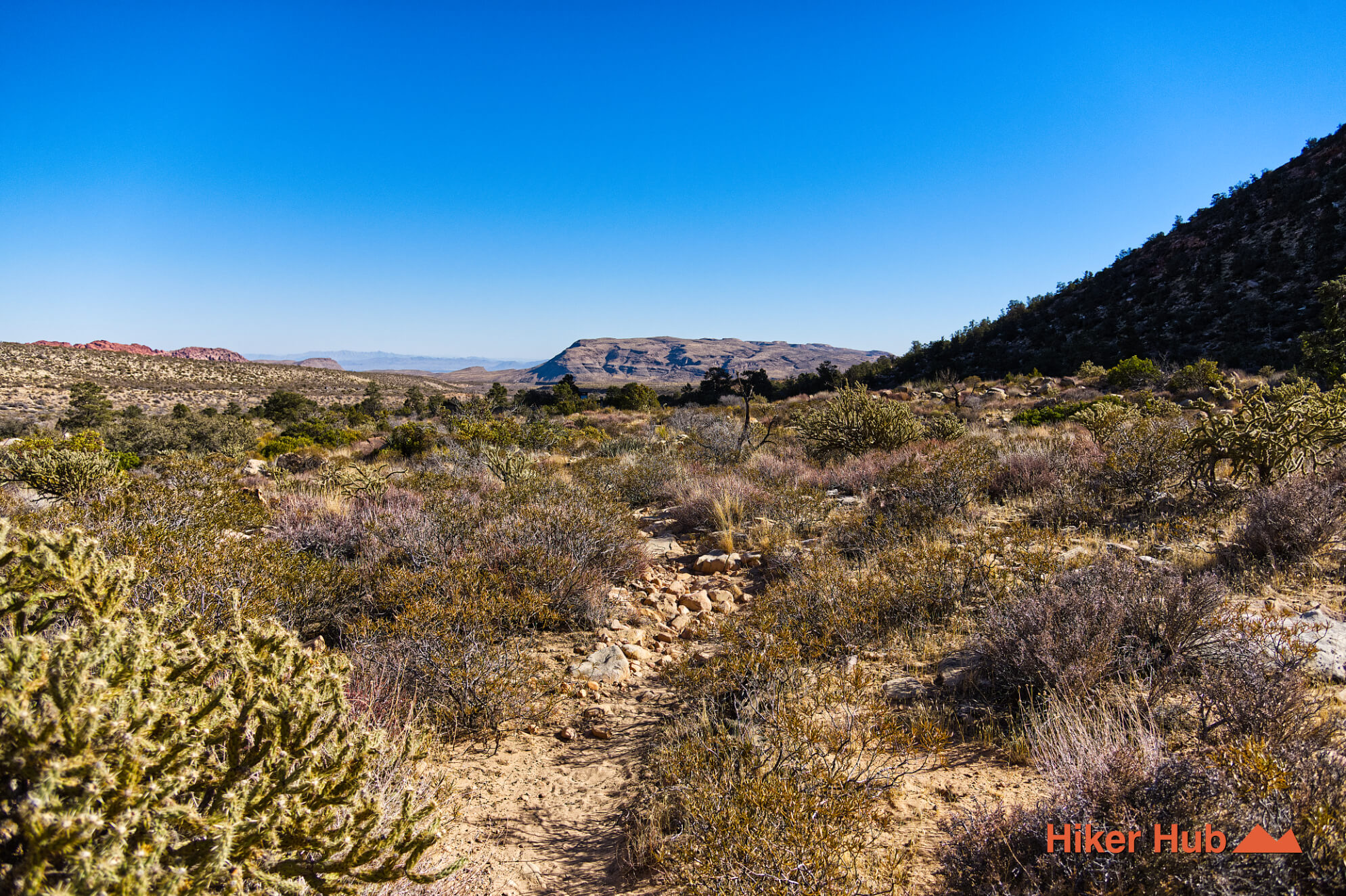
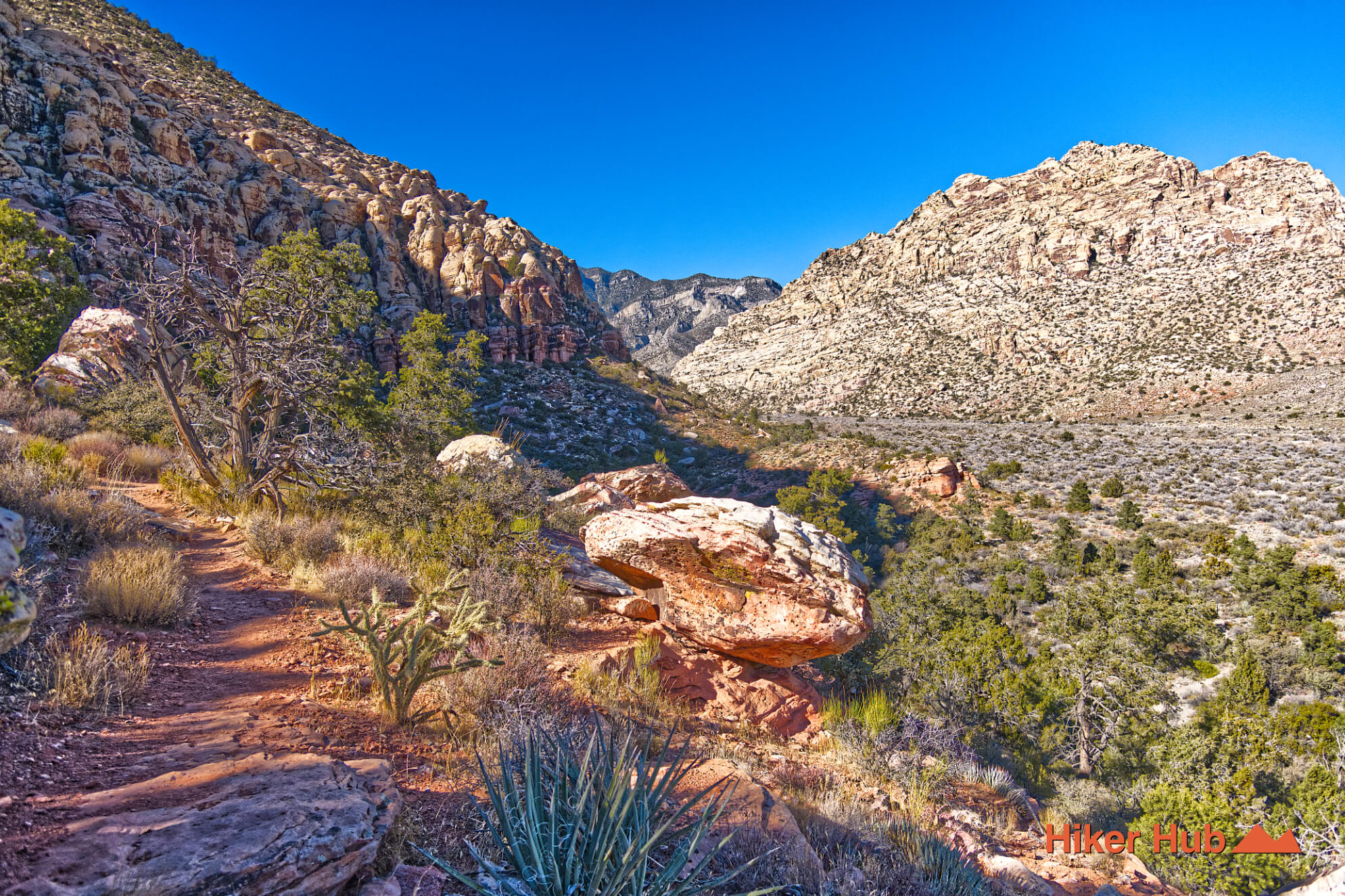
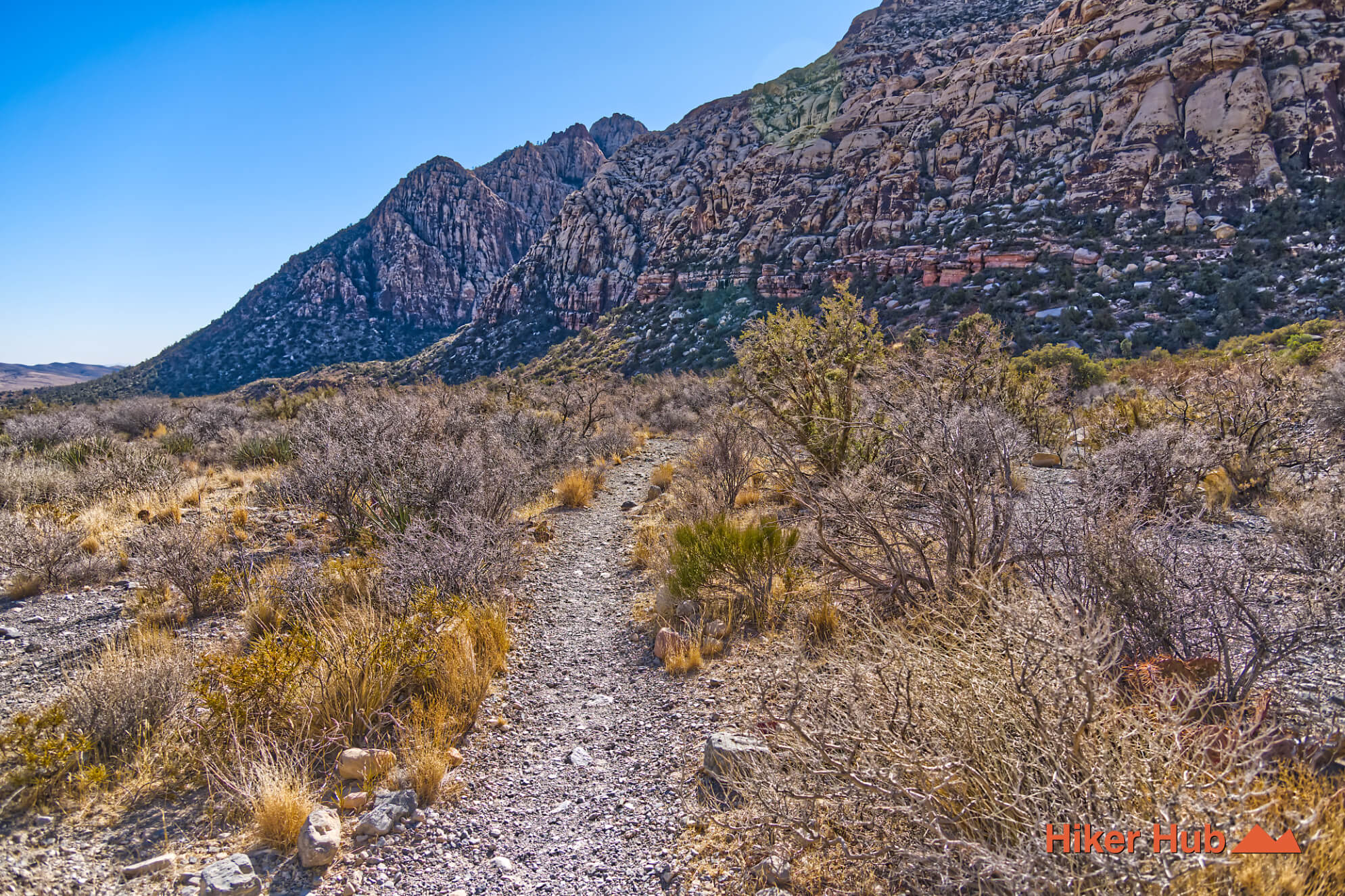
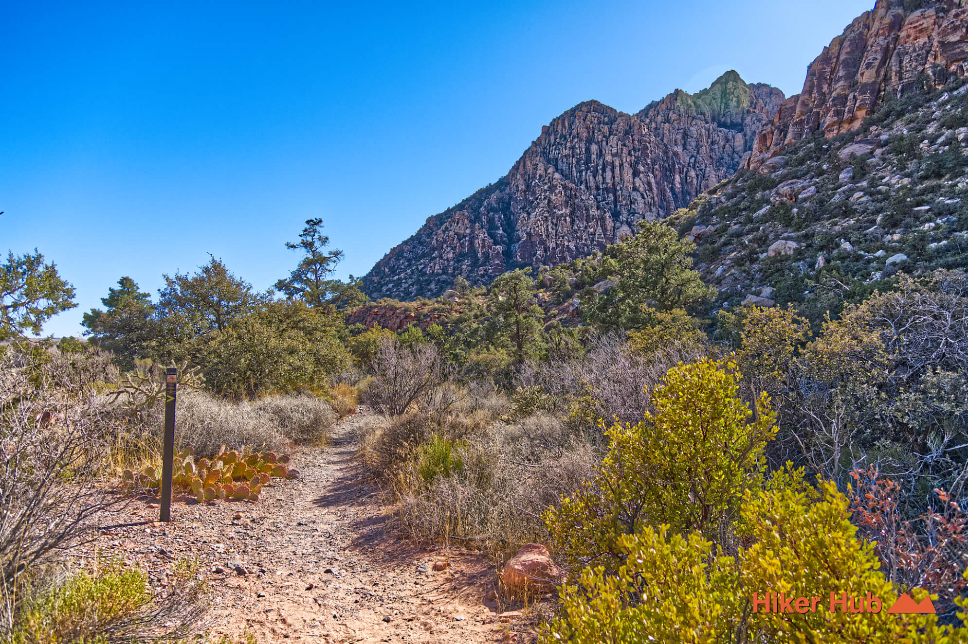
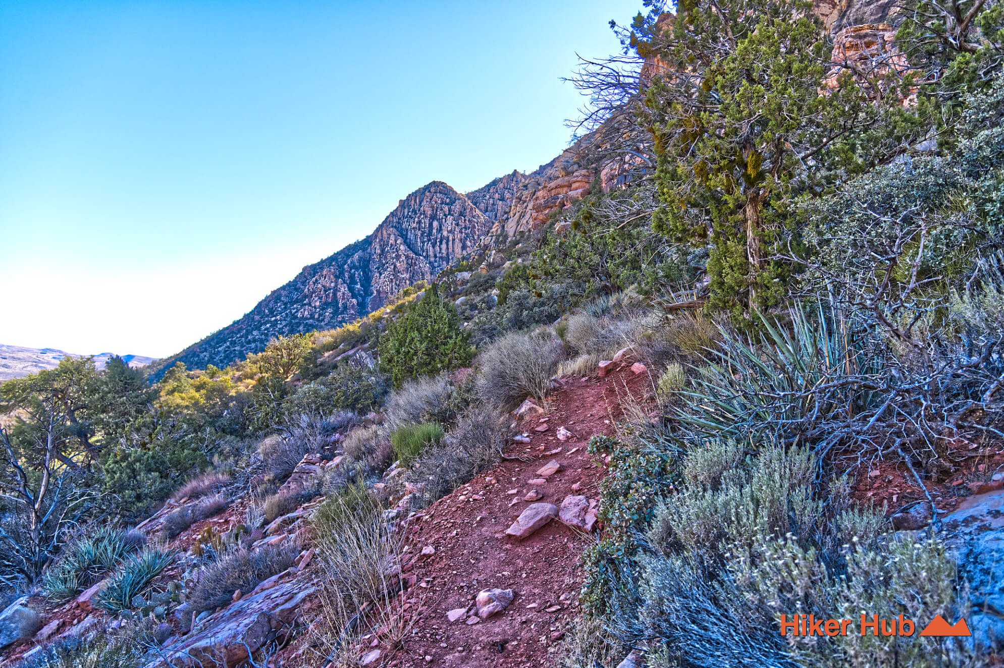
This easy, low-elevation SMYC Canyon Route offers a surprisingly scenic experience. While the trail features virtually no sustained elevation gain, two short and steep inclines provide elevated viewpoints with panoramic desert and mountain views. I met a woman who has been hiking this route for over 15 years—and it’s easy to see why. The trail offers a balanced mix of scenery, distance, and flexibility, making it ideal for repeat visits.
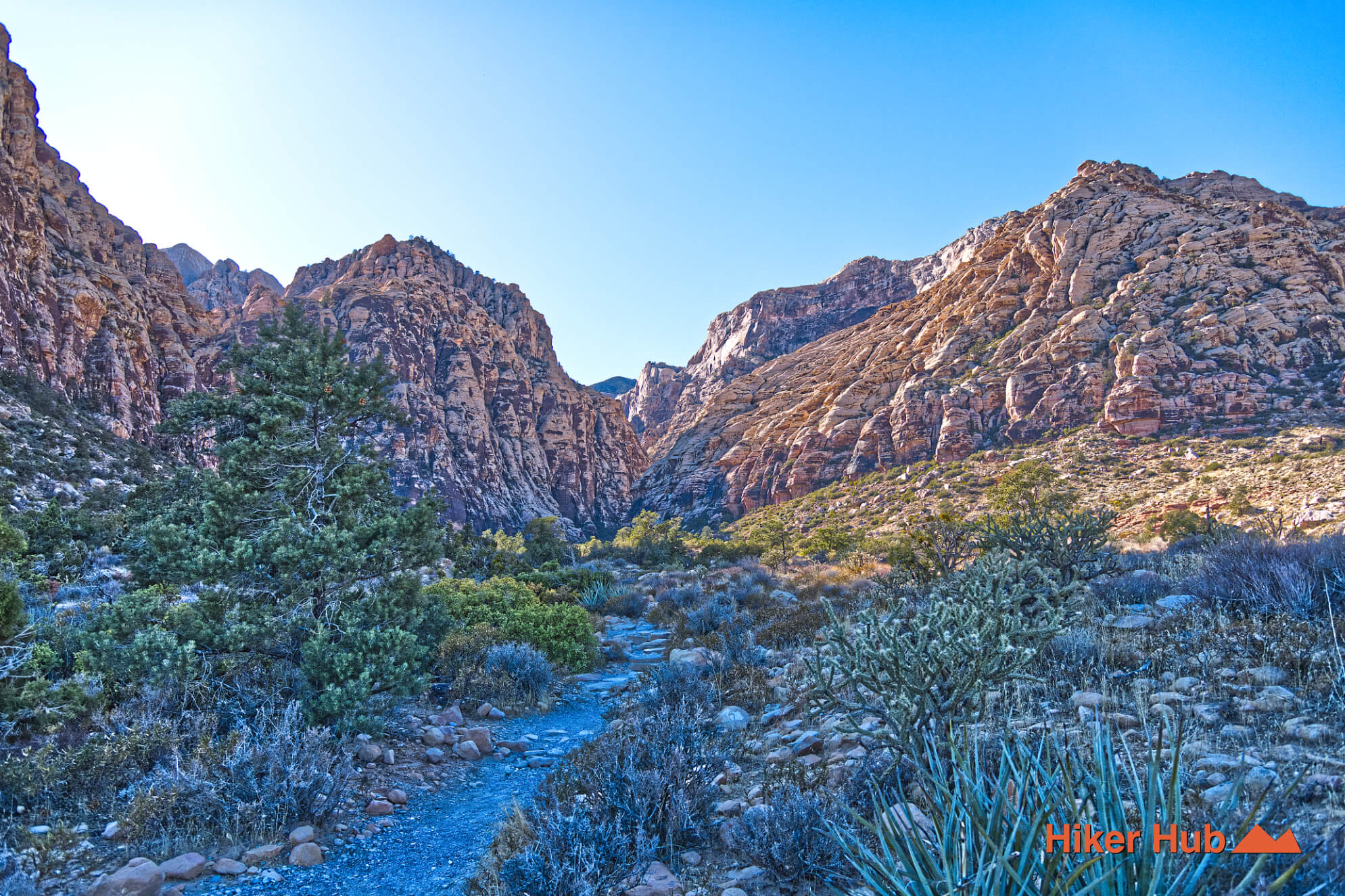
The SMYC Canyon Route connects directly with the Lost Creek–Willow Springs area as well as Ice Box Canyon, allowing hikers to build longer loops or custom routes. The Lost Creek–Willow Springs region alone contains an abundance of connector trails, offering days of exploration without the need to relocate parking. At the opposite end, SMYC links to Ice Box Canyon—one of the three cornerstone canyons of Red Rock Canyon National Conservation Area.
Hikers can begin at Lost Creek, follow the SMYC Canyon Route into Ice Box Canyon, or bypass Ice Box entirely and continue toward Dale’s Trail. Dale’s and SMYC are effectively the same continuous corridor under different names, divided by Ice Box Canyon, yet they differ significantly in distance and overall experience.
Last updated: February 2, 2026