Nearby Essentials
-
Gas: Chevron & TerriblesDirections
Some listings may be paid partnerships.
Know a useful stop near this trail? Suggest a business
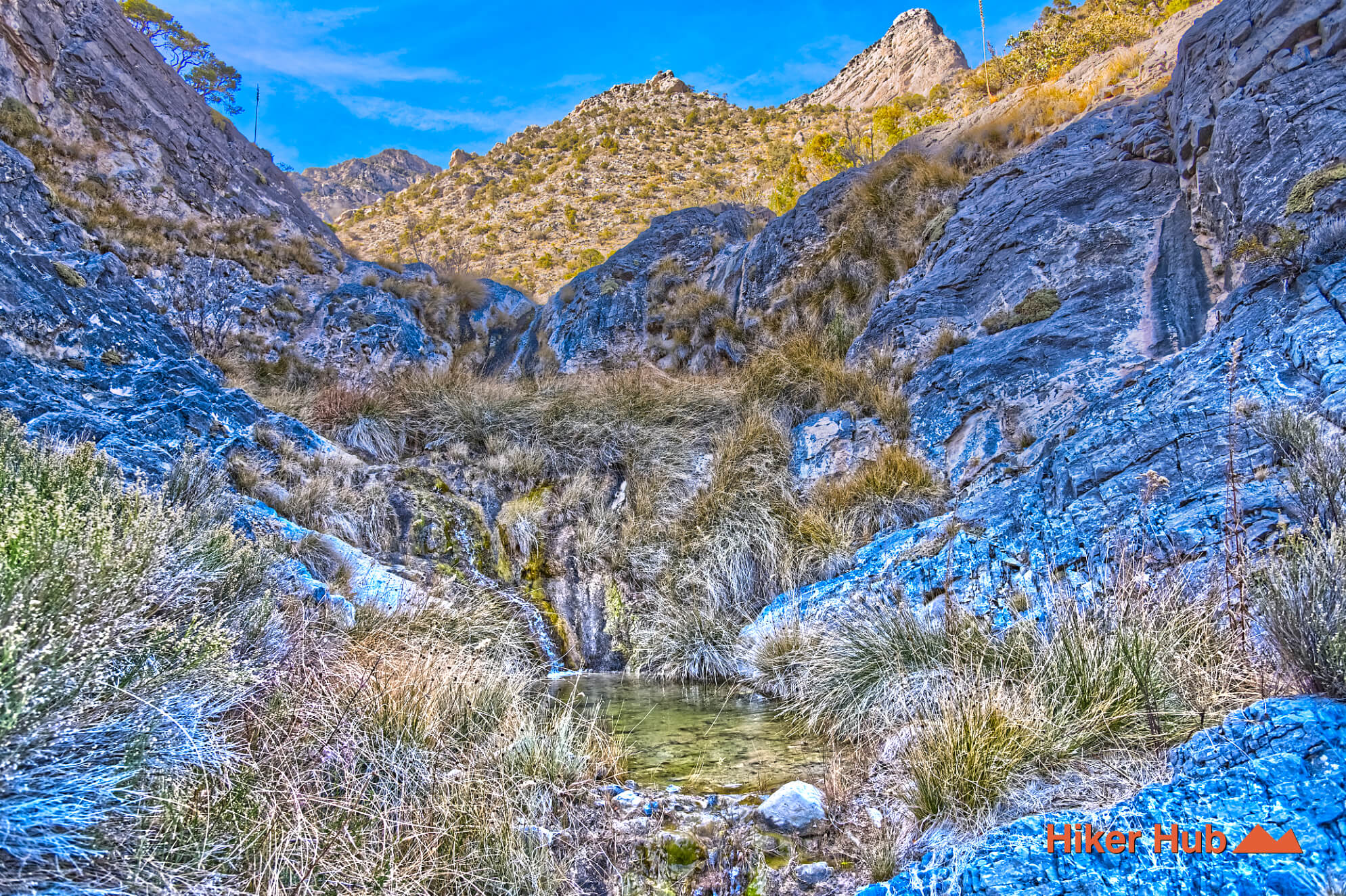
Waterfall Canyon is among the few places there’s limited information about on the internet—YouTube or Instagram included. The Waterfall Canyon route follows a small canyon nestled a short distance from the start of Rocky Gap Road. The waterfalls aren’t huge like in other places of the park. The difference is nearly everywhere else, many water sources are seasonal. The big ones depend greatly on snow and perhaps even rainfall. In Waterfall Canyon, it’s constant along much of the Waterfall Canyon route.
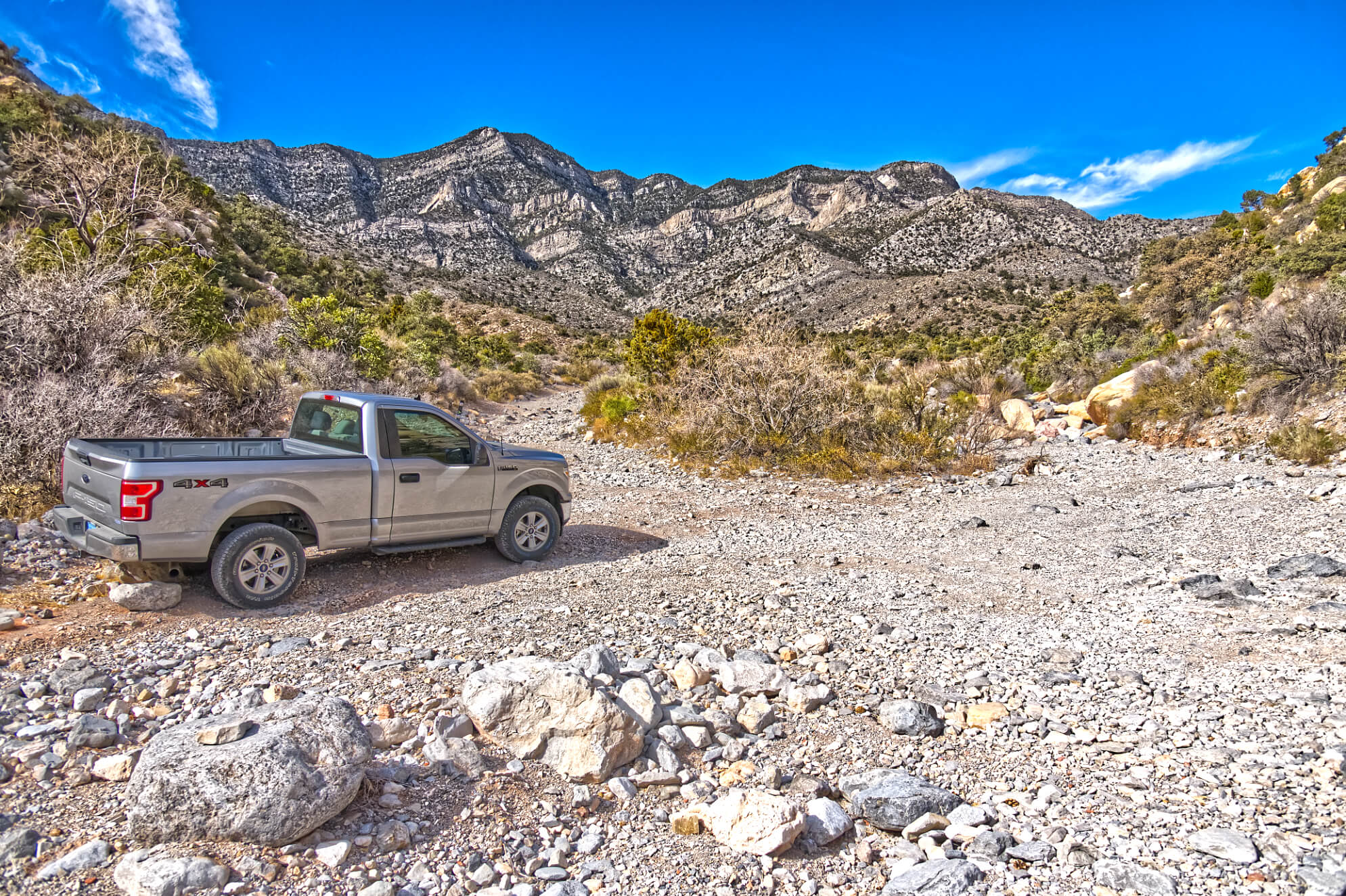
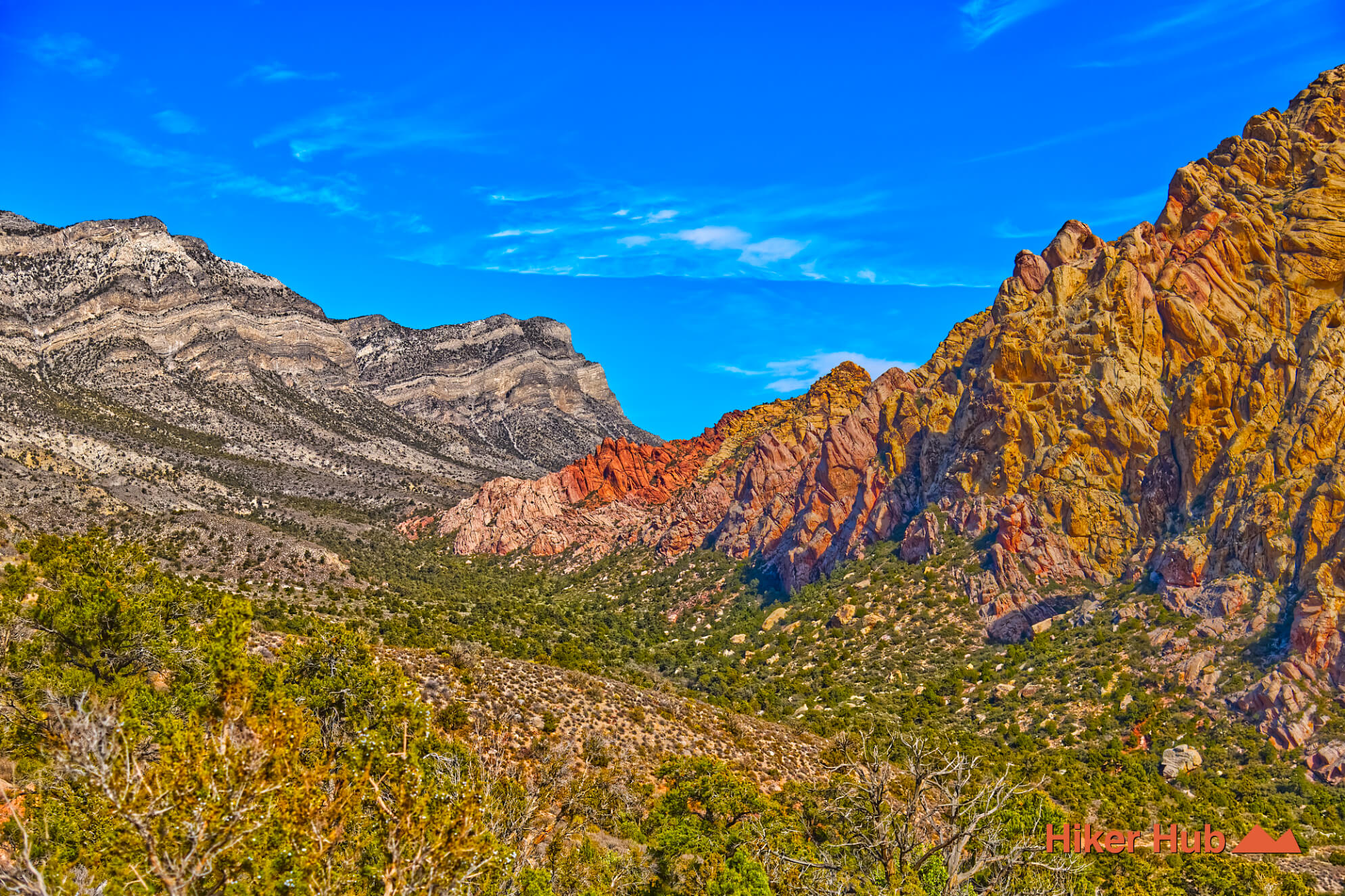
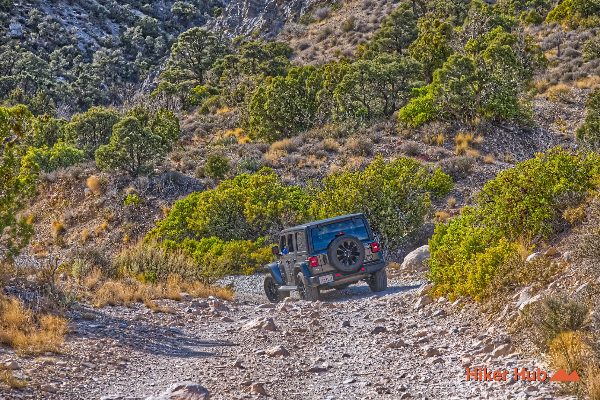
Depending on your vehicle, you’ll either park at the very end of the Lost Creek–Willow Springs lot, or venture a short distance up the very rocky road to find a spot to park that’s out of the way of hikers and other drivers. This is the entrance to the Rocky Gap Road and the beginning access point for the Waterfall Canyon route. You’ll most likely see very well equipped Jeeps and trucks occasionally trekking through here. This is also the way to North Peak and Bridge Mountain.
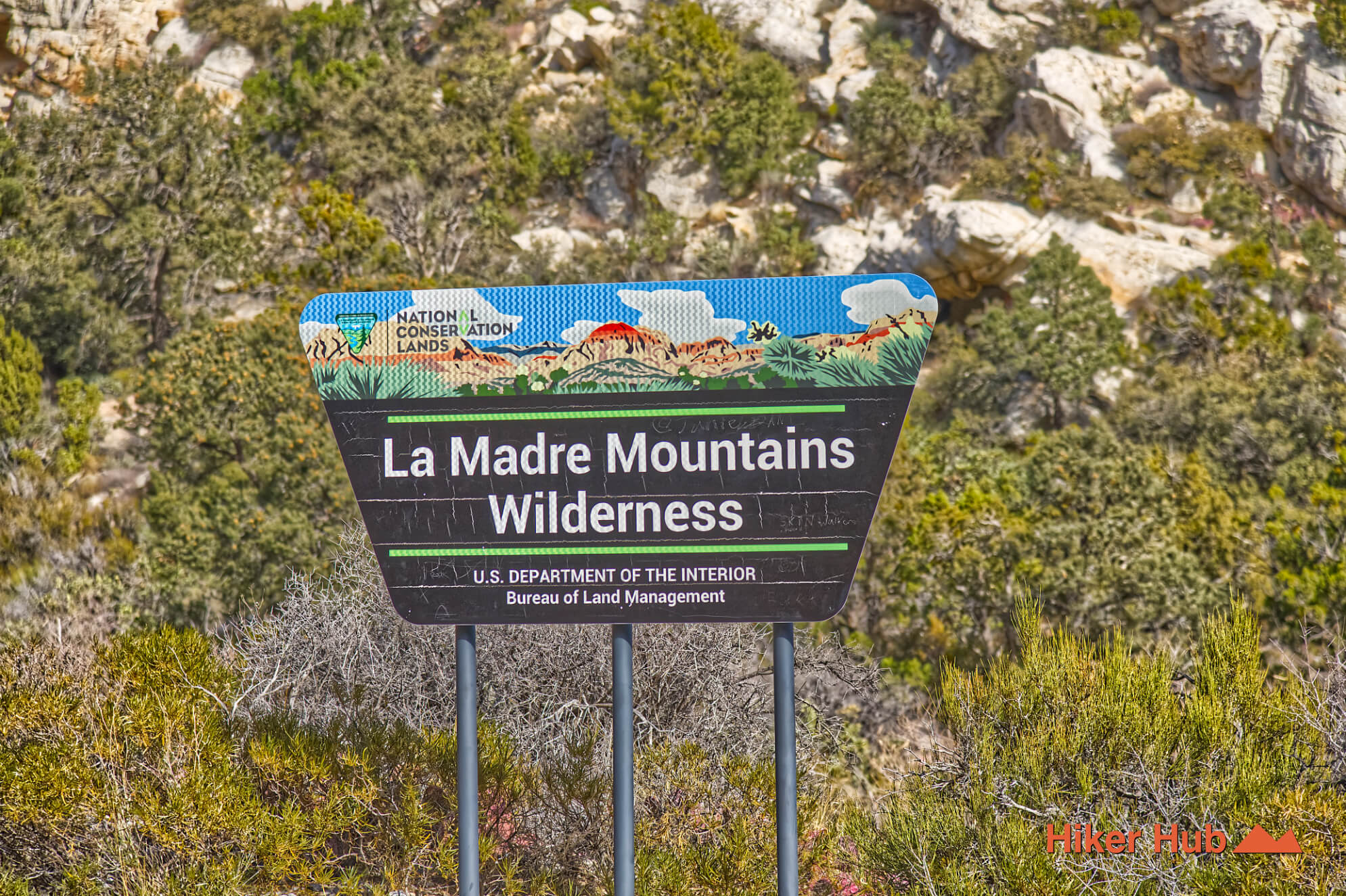
If you have a highly durable vehicle and are willing to put it to the test, venture up the road. There are several turnouts along the way with ample space to park. Harness these as turning around will be difficult or altogether impossible. One to two miles up the road you’ll find a hairpin turn going left. It’s the tightest left turn you’ll encounter thus far. Look closely to the right…through the bushes—you’ll see what resembles a trail marker. But it’s actually a boundary marker for the Rainbow Wilderness. This is the entry point to the Waterfall Canyon route. You won’t hear trickling water, but you’ll spot a small stream rather quickly that dissipates into the ground.
Waterfall Canyon Route — Geology and Solitude
Hiking through Waterfall Canyon is very rugged. There’s giant slabs of limestone that’ll eventually lead to tanks ranging from 2–4’ deep. On a hot summer day, one could bask in these tanks amidst natural spring water along the Waterfall Canyon route.
In this very region numerous types of archeological discoveries were made ranging from clothing to graves among places used for religious and cultural importance by the Nuwuvi people. Mt. Charleston specifically is seen as a place of inception for said peoples and their modern descendants—the Southern Paiutes. They believed they were the moral, spiritual, and cultural stewards of these mountains which were/ are places of power. Where energy flowed through water, springs, steam, and rain; materialized in snow. Tool making, ceremonial dance and healing sites all have profound histories here in addition to rites of passage—histories that add even more weight to the experience of the Waterfall Canyon route.