Water carry
3L Hydration Pack
Useful for exposed desert routes where one small bottle is not enough.
View hydration packsNorthwest Las Vegas
1.21 miles • Easy • Trail
Conditions, access, and regulations can change. Always verify current information and assess safety before visiting.
Offline maps coming soon. Be first to access downloadable routes.
Some listings may be paid partnerships.
Know a useful stop near this trail? Suggest a business
No Dab is one of the defining technical trails in the Buckskin Cliff Shadows network of northwest Las Vegas. In mountain biking, a “dab” is the moment a rider puts a foot down to regain balance or avoid a fall. The name turns the trail into a challenge: clear the rocky sidehill, tight turns, and awkward ledges without touching a foot to the ground. Hikers can use the same route, but No Dab’s character and local reputation come directly from the mountain-bike culture that established these foothill trails near the southwestern base of Cheyenne Mountain.
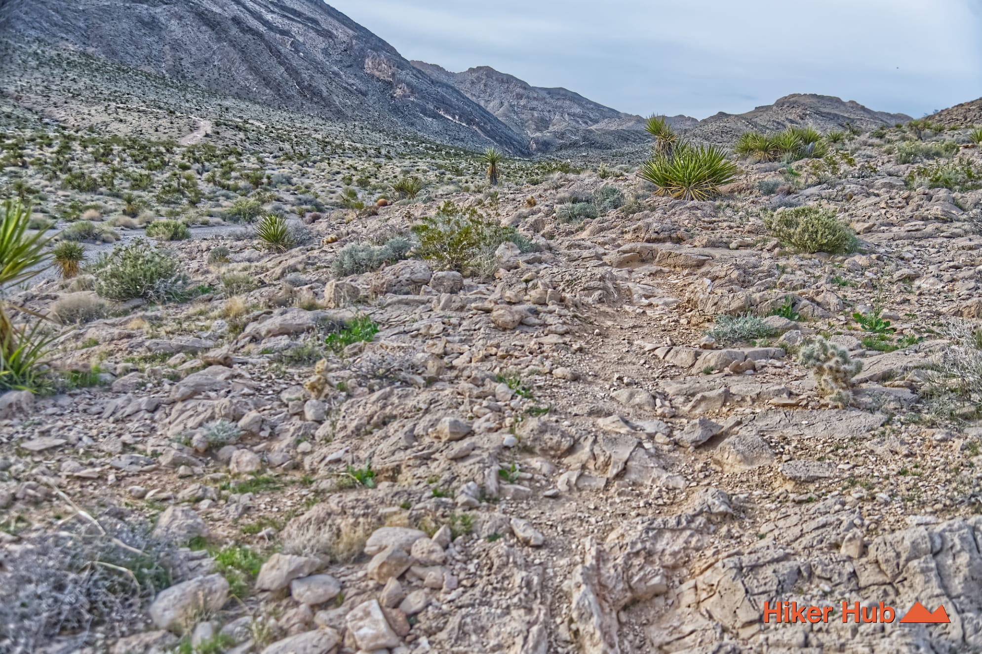
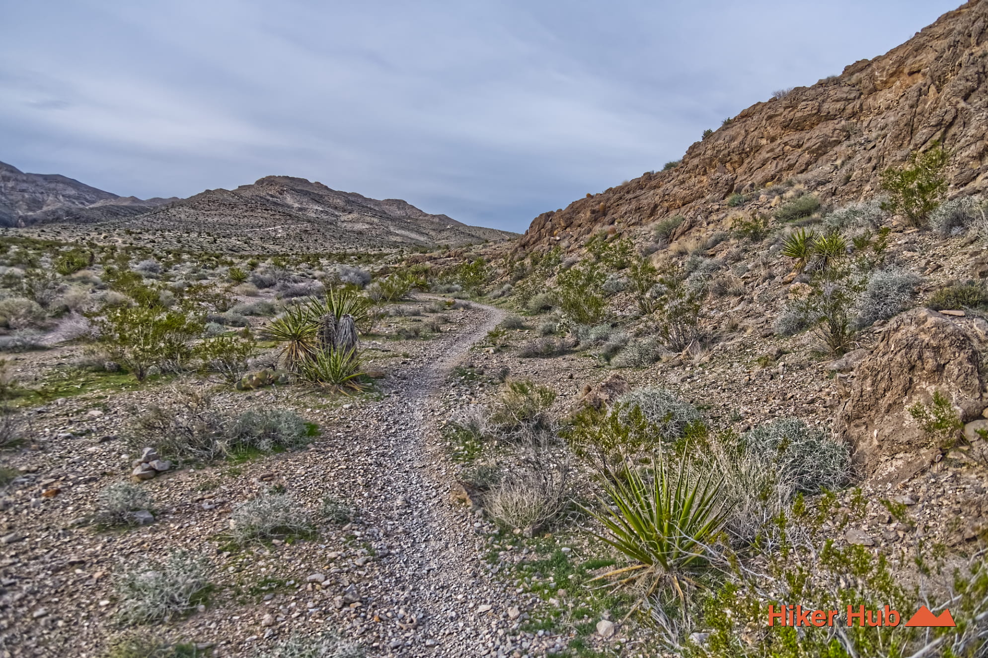
No Dab is not difficult because of large jumps or high-speed features. It is a low-speed test of balance, line choice, pedal timing, and control. Embedded limestone, off-camber turns, short ledges, and narrow sidehill sections require concentration. A rider can lose momentum in one move and find the next rock step much harder. Hikers should expect similarly irregular footing and should avoid standing in the riding line at blind corners.
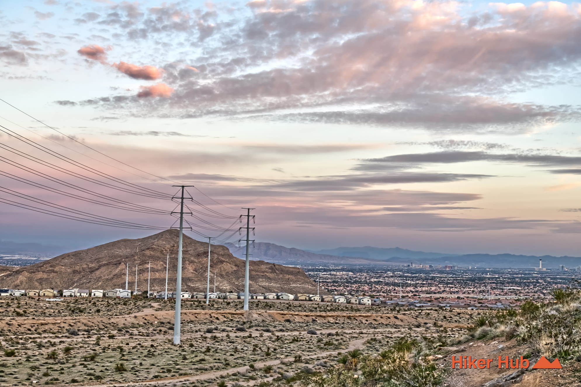
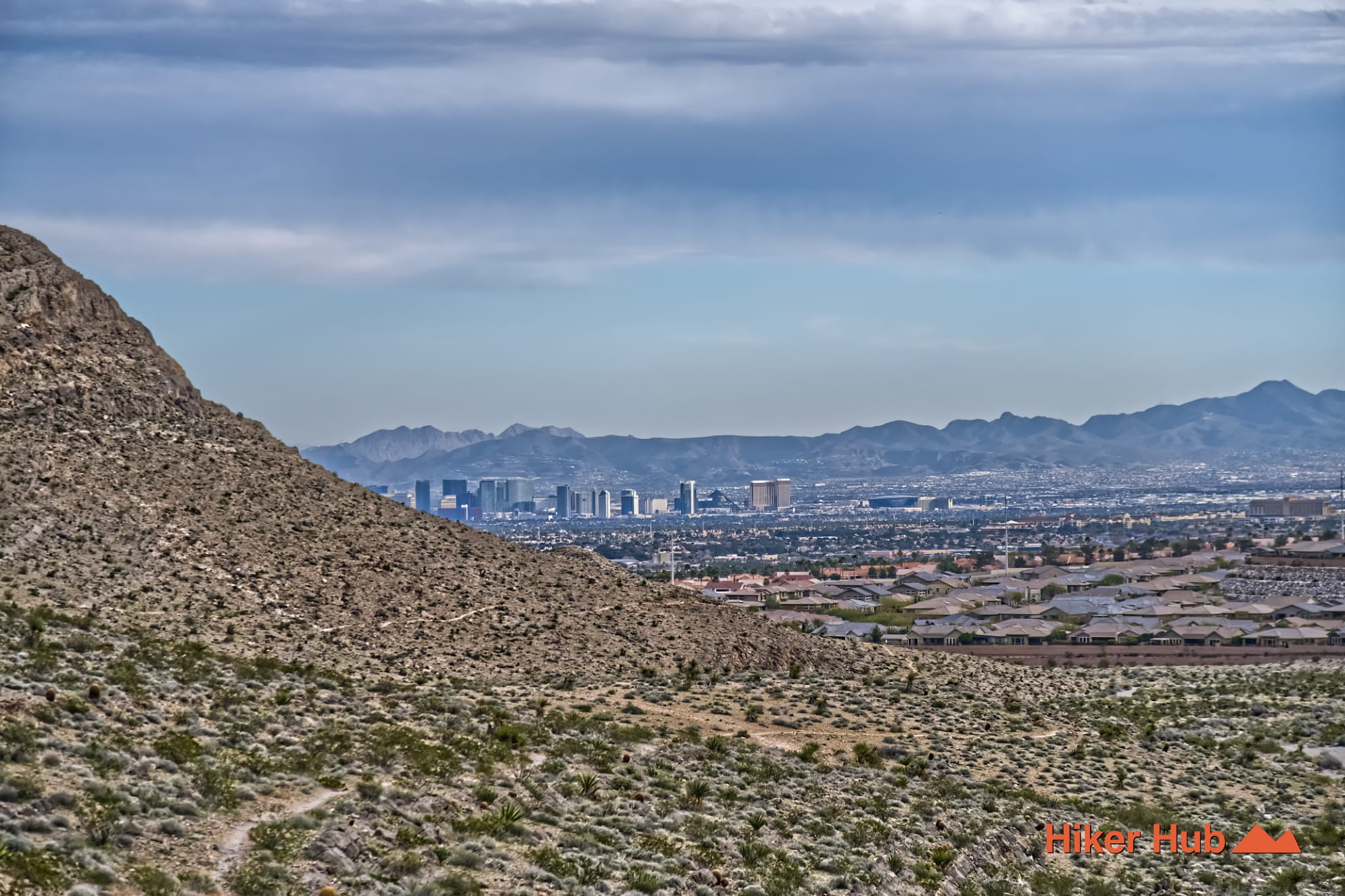
The sidehill position also gives No Dab a striking visual identity. Ancient gray rock rises above manicured neighborhoods, roads, and desert-edge development. The view creates an unusual Las Vegas contrast: rugged limestone underfoot, the Sun City and western valley below, and the Spring Mountains farther west. The exposure is not extreme in the mountaineering sense, but a slip onto sharp rock can still cause a serious injury.
Local riders commonly trace No Dab to the late 1990s and early 2000s, when community-built social trails spread across Buckskin Cliff Shadows. Accounts often describe hand work with picks and shovels rather than modern trail machinery. The precise builders, dates, and construction sequence are not documented in the official BLM material reviewed for this rewrite, so those details should be understood as local trail lore rather than settled history.
The broader La Madre Foothills network has since entered formal recreation planning and mapping. That does not make every junction obvious or every old social line appropriate to follow. Some paths are designated, some are being restored, and others intersect in ways that can confuse a first-time visitor. Staying on the recognized route protects desert vegetation and reduces the continued growth of unnecessary parallel tracks.
No Dab is best suited to experienced mountain bikers, strong intermediate riders willing to walk difficult moves, and hikers comfortable with rocky sidehill terrain. It is not a beginner bike trail simply because it is close to suburban Las Vegas. Riders should lower speed around hikers, and hikers should keep dogs leashed or under immediate control. The area is known for local recreation rather than tourist crowds, but No Dab itself is a recognized challenge and can be busy when temperatures are comfortable.
Late autumn through spring offers the best conditions. The limestone can provide useful traction when dry, but loose gravel over hard rock makes descents unpredictable. Summer exposure is severe, and the nearby city should not create a false sense of safety. Carry water, wear proper hiking shoes or bike protection, and turn around before heat or fatigue compromises balance.
No Dab connects naturally with Toque, Black Friday, and Middle Earth. Together they form a more complete Buckskin Cliff Shadows Loop. Use No Dab when you want the loop’s most technical personality rather than a simple traverse across the lower desert.
Recommended gear
Gear picks are matched to this route using distance, difficulty, terrain, and desert conditions.
Disclosure: some links may be affiliate links. Red Rock Hiker Hub may earn a commission at no extra cost to you.
Water carry
Useful for exposed desert routes where one small bottle is not enough.
View hydration packsShade
Simple shade matters on open desert terrain, sandstone slabs, and long approaches.
View hiking hatsSun protection
A lightweight sun layer is one of the most useful pieces of gear for Red Rock exposure.
View sun hoodiesSkin protection
Small, easy to carry, and useful on nearly every Southern Nevada trail.
View SPF essentialsFooting
Better traction helps on loose gravel, sandstone, rocky washes, and steeper trails.
View trail shoesHeat support
Helpful on hot days, longer hikes, and steep routes where plain water may not be enough.
View electrolytes