Water carry
3L Hydration Pack
Useful for exposed desert routes where one small bottle is not enough.
View hydration packsNorthwest Las Vegas
1.2 miles • Easy • Trail
Conditions, access, and regulations can change. Always verify current information and assess safety before visiting.
Offline maps coming soon. Be first to access downloadable routes.
Some listings may be paid partnerships.
Know a useful stop near this trail? Suggest a business
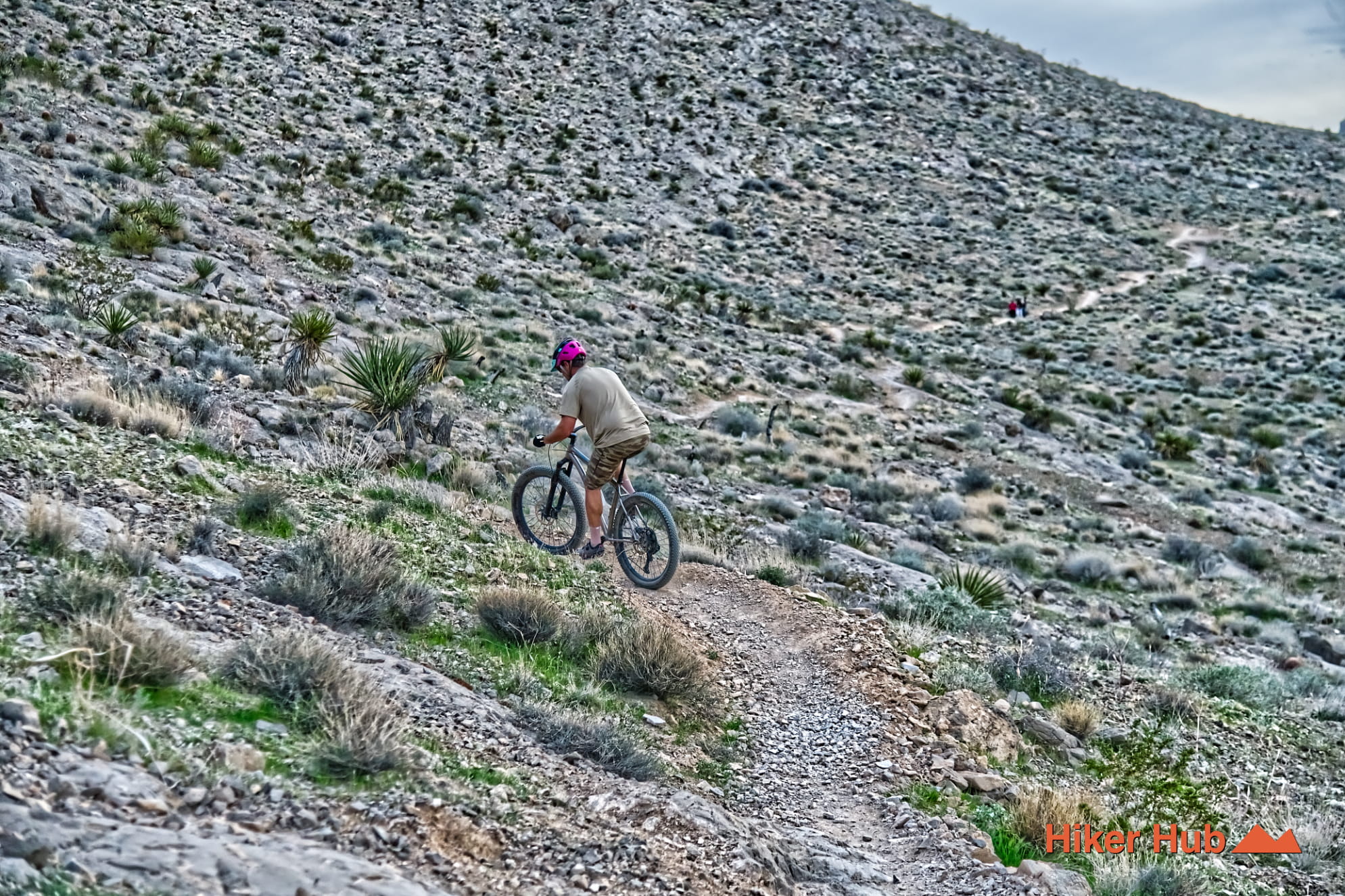
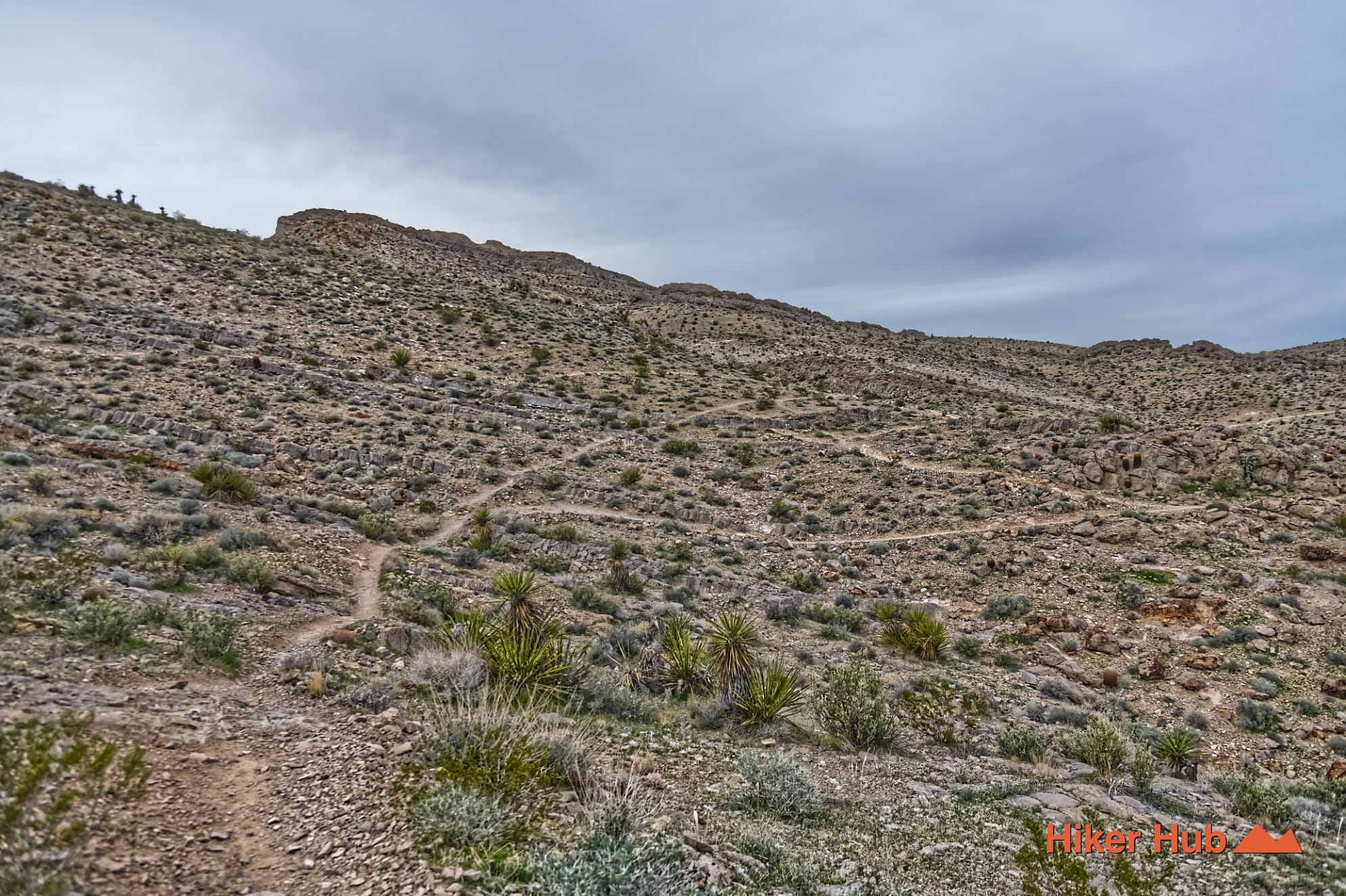
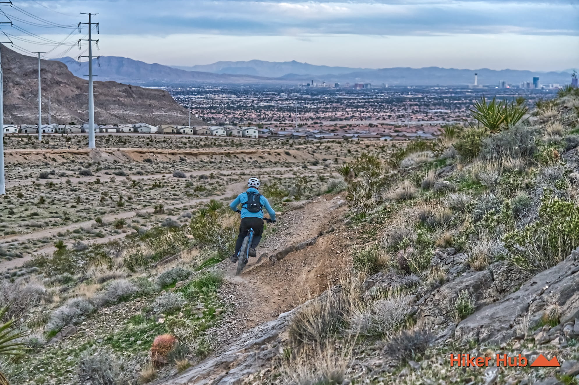
Buckskin Middle Earth is a winding connector in the Buckskin Cliff Shadows trail network of northwest Las Vegas. It sits at the urban edge of the La Madre Foothills, where city trailhead access gives way to BLM-managed desert terrain and an unusually dense collection of mountain biking and hiking trails. Middle Earth is not defined by one grand overlook or summit. Its appeal is movement: flowing singletrack, frequent bends, small climbs, and connections that let hikers and riders build a route around the limestone foothills.
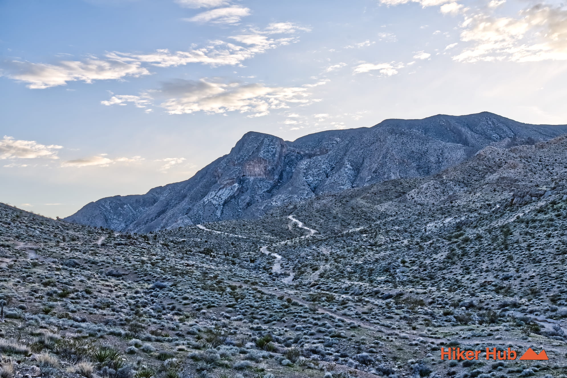
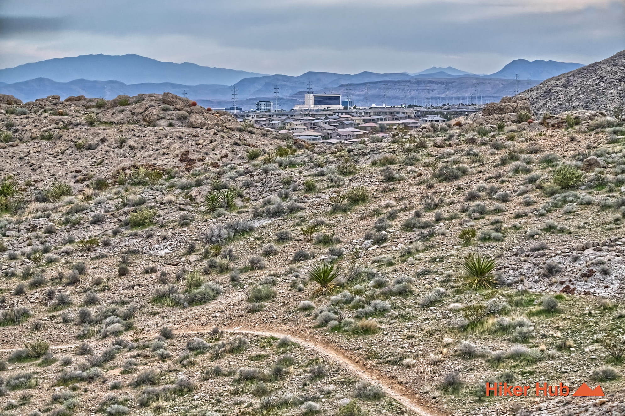
Middle Earth lies west of the 215 Beltway near Buckskin Cliff Shadows and Gilmore Cliff Shadows access points. The setting is distinctly different from the Red Rock Canyon Scenic Loop. There's no entrance station, visitor center, or series of named overlooks. Instead, the route moves through open Nevada desert below Cheyenne Mountain, with views across Clark County and the northwest valley. The neighborhoods of Sun City and Summerlin remain visible below, creating a sharp boundary between modern development and rugged public land.
The trail is useful in both directions and connects directly with Toque, No Dab, and Black Friday. Combining those segments creates the Buckskin Cliff Shadows Loop, a more complete tour of the mountain. This interconnected design is why Middle Earth is often more valuable as part of a loop than as a standalone out-and-back.
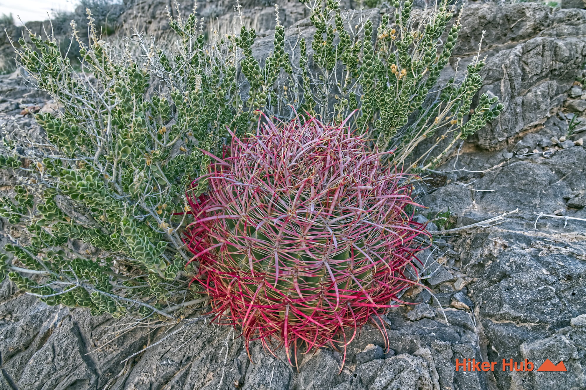
The Buckskin terrain is built largely from older gray carbonate rock rather than the bright sandstone associated with Calico Basin. Limestone and dolomite break into fragments, ledges, and loose shelves. Between the ridges, washes and alluvial fans carry smaller rock and sediment toward the Las Vegas Valley. That combination produces a trail surface that can change quickly from smooth dirt to embedded stone, then to loose gravel on a turn or short descent.
The geology also explains the exposed character of the route. Soil is thin on the slopes, vegetation is low, and shade is limited. The openness creates excellent city views, including the western communities shown in this Sun City Las Vegas photograph, but it also leaves hikers and riders fully exposed to wind, heat, and winter cold.
Middle Earth belongs to the local mountain-bike culture that expanded through the foothills during the late 1990s and early 2000s. These paths were not laid out like a city greenway or a modern purpose-built flow trail. Repeated riding and hiking established lines that followed natural contours, washes, and gaps between rock shelves. The exact origin of the Middle Earth name is part of local lore rather than a documented historical record, but the name fits a route hidden inside a maze of interconnected trails.
This should not be confused with the much older Indigenous travel corridors and Old Spanish Trail history found elsewhere in Southern Nevada. Middle Earth is a modern recreation route. Its importance comes from the way local users adapted an overlooked urban-edge landscape for long-form riding, hiking, and trail running before suburban development reached its present scale.
October through May is the best period for Middle Earth. Winter days can be excellent, while spring brings longer daylight and occasional wildflowers. Summer is brutally exposed and should be avoided outside of cool early mornings. The area is lesser traveled than the major red rock canyon hikes, but it's not empty: mountain bikers use these connectors and may appear unexpectedly around blind corners. Hikers should remain alert, keep dogs close, and verify every junction because signage remains limited.
Middle Earth is ideal for intermediate riders, hikers who enjoy route-building, and locals who prefer an uncrowded network over a single famous destination. It's less suitable for first-time desert visitors who want a clearly signed trail from beginning to end. Bring a downloaded map, water, sun protection, and enough time to backtrack when a fork leads somewhere unexpected.
Recommended gear
Gear picks are matched to this route using distance, difficulty, terrain, and desert conditions.
Disclosure: some links may be affiliate links. Red Rock Hiker Hub may earn a commission at no extra cost to you.
Water carry
Useful for exposed desert routes where one small bottle is not enough.
View hydration packsShade
Simple shade matters on open desert terrain, sandstone slabs, and long approaches.
View hiking hatsSun protection
A lightweight sun layer is one of the most useful pieces of gear for Red Rock exposure.
View sun hoodiesSkin protection
Small, easy to carry, and useful on nearly every Southern Nevada trail.
View SPF essentialsFooting
Better traction helps on loose gravel, sandstone, rocky washes, and steeper trails.
View trail shoesHeat support
Helpful on hot days, longer hikes, and steep routes where plain water may not be enough.
View electrolytes