Water carry
3L Hydration Pack
Useful for exposed desert routes where one small bottle is not enough.
View hydration packs.94 miles • Hard • Trail
Conditions, access, and regulations can change. Always verify current information and assess safety before visiting.
Offline maps coming soon. Be first to access downloadable routes.
Some listings may be paid partnerships.
Know a useful stop near this trail? Suggest a business
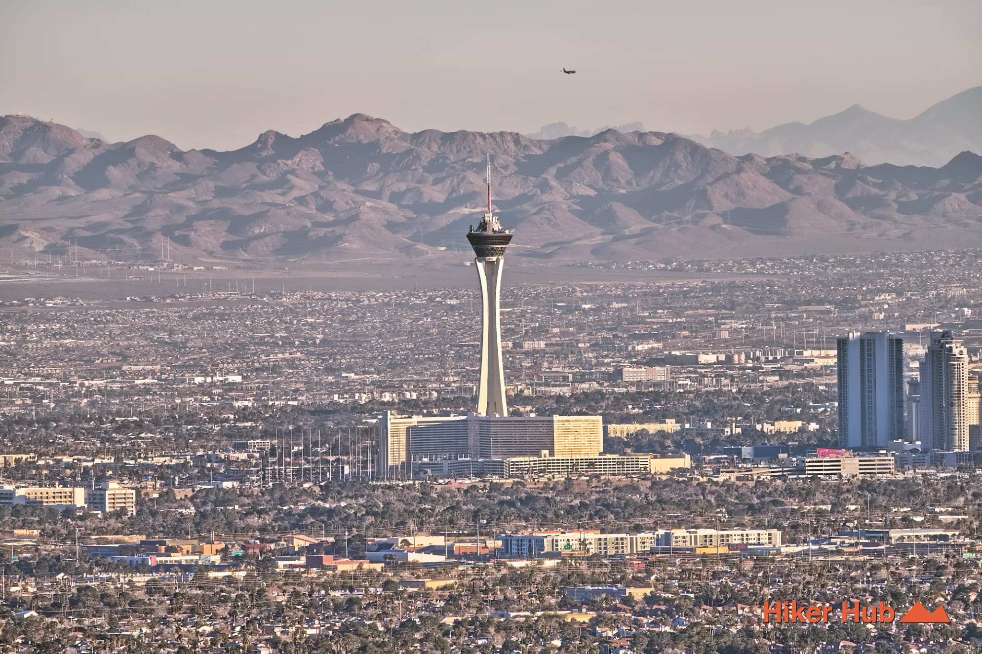
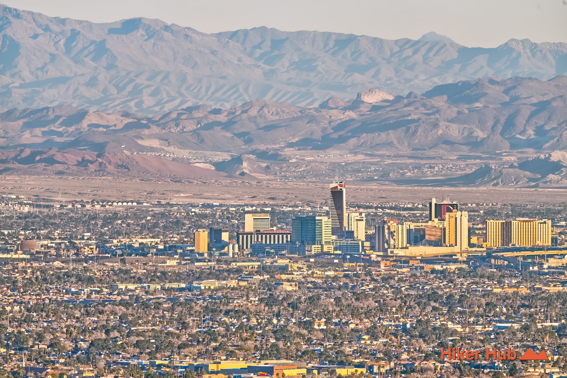
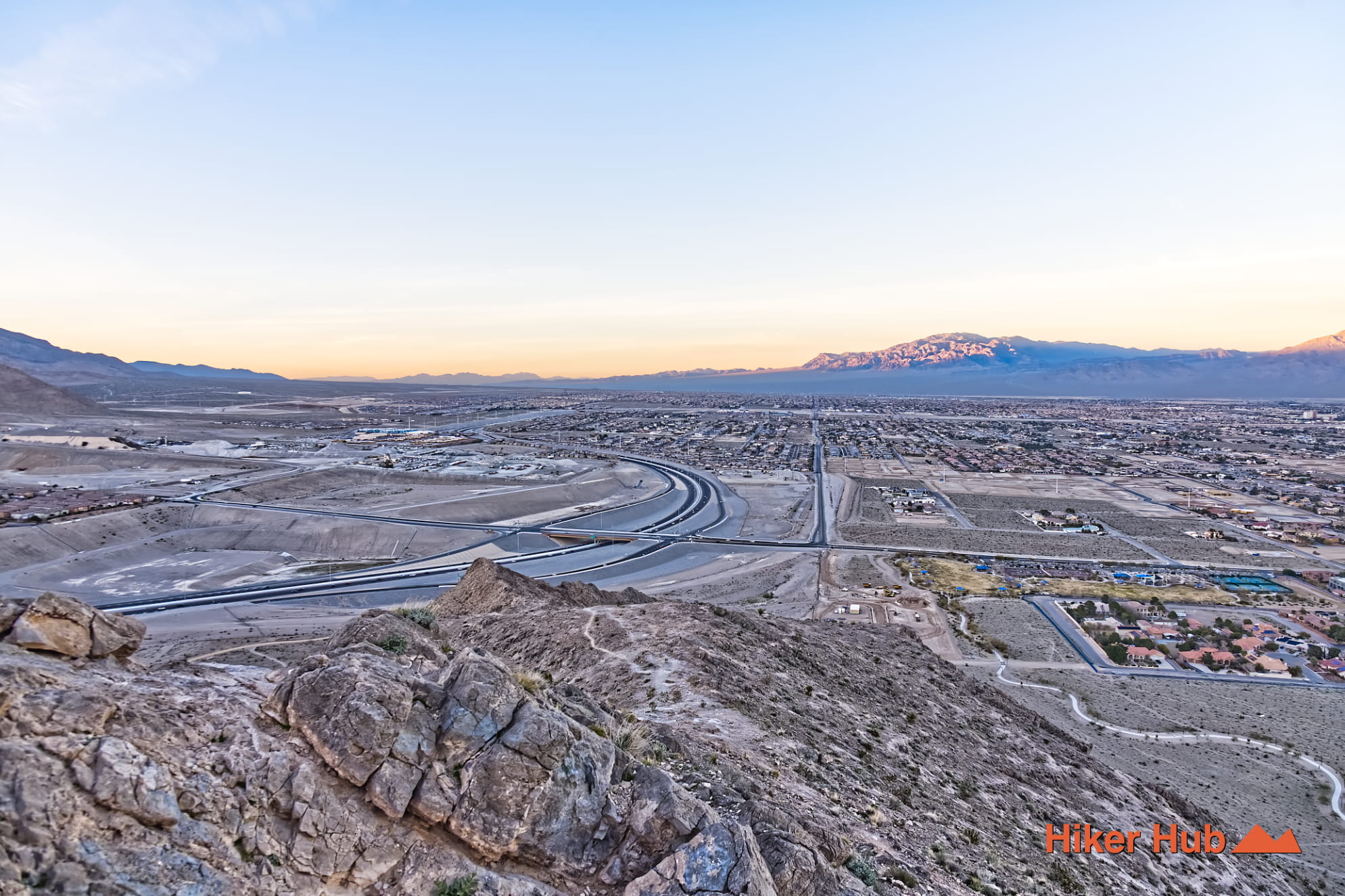
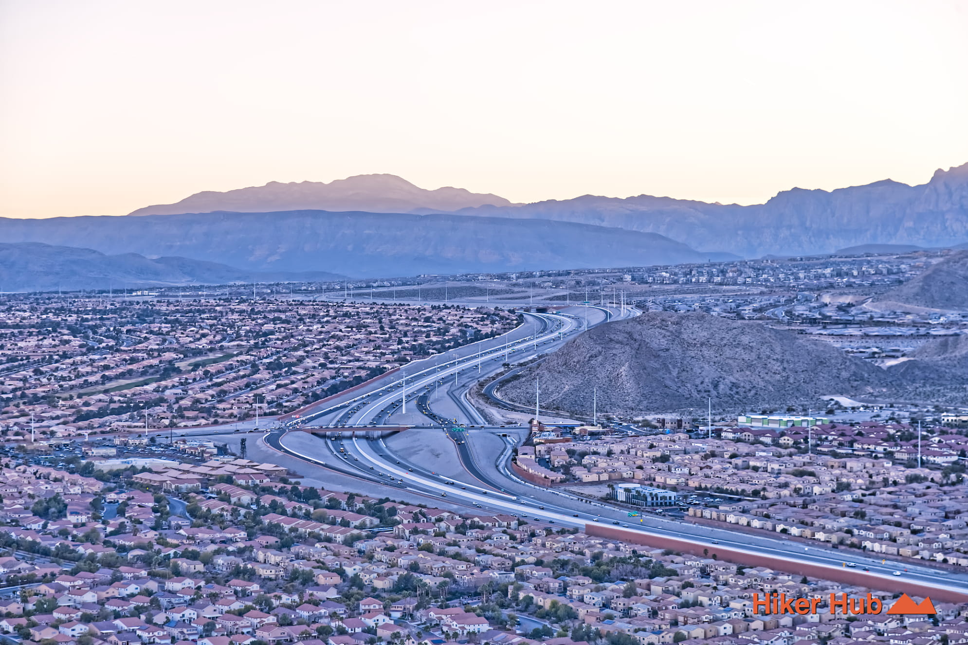
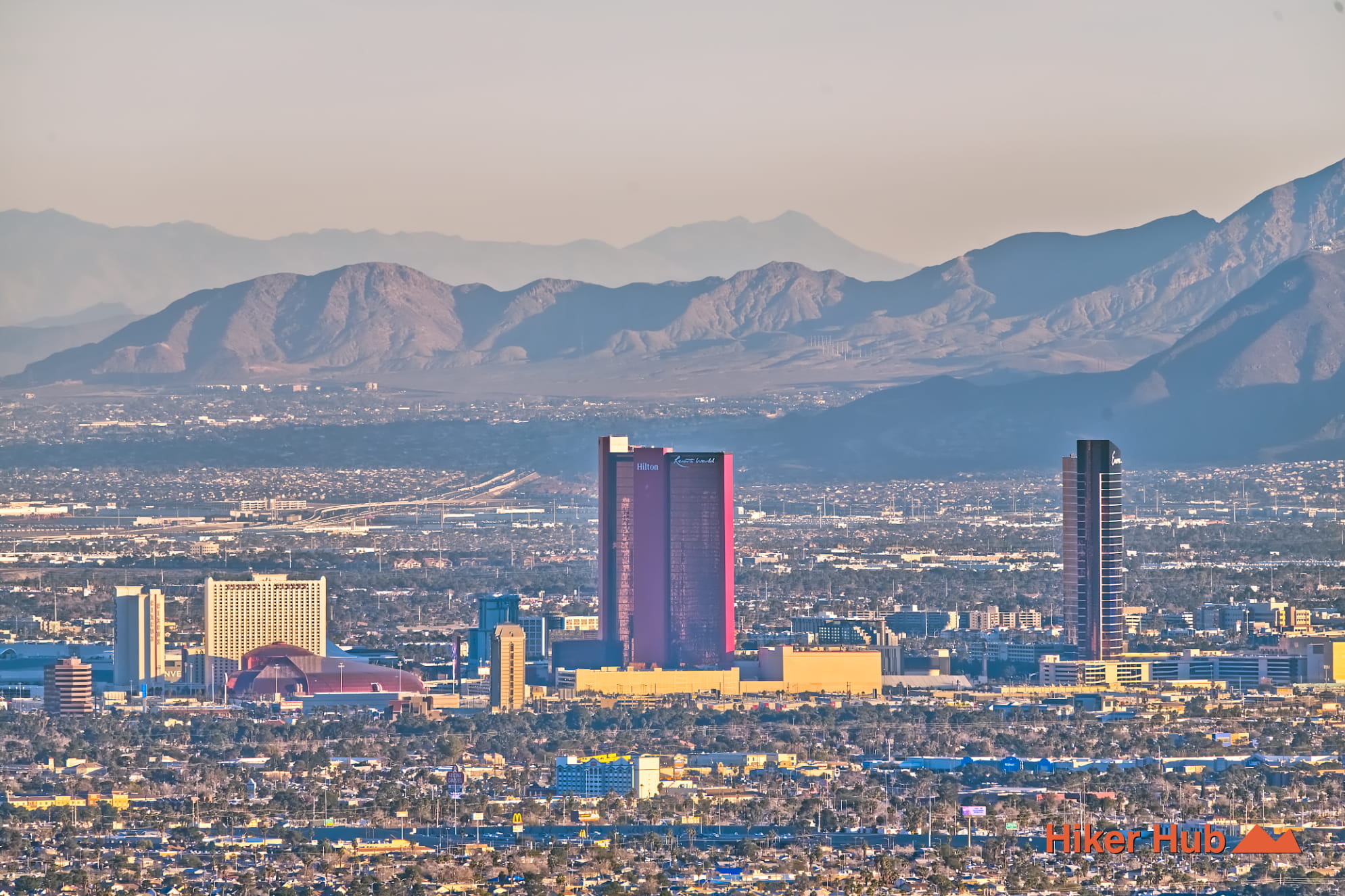
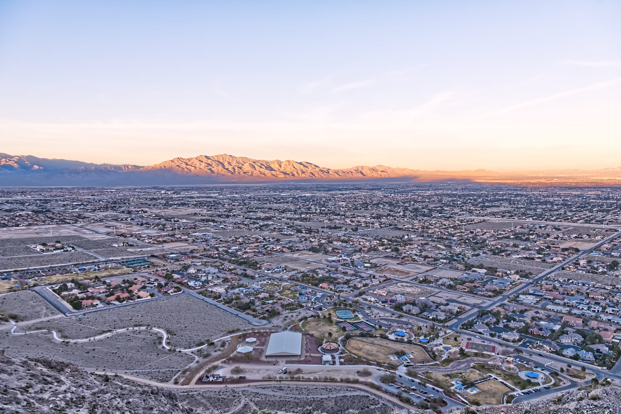
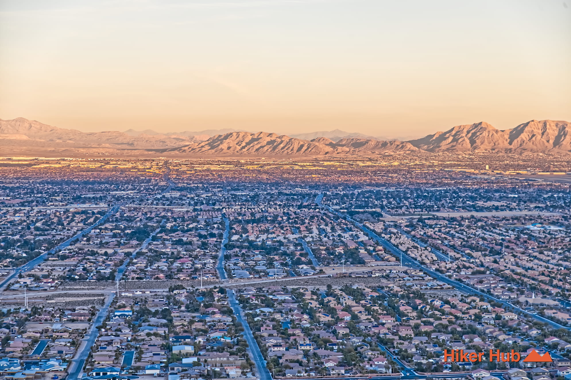
Lone Mountain Summit is one of the quickest “earn it fast” hikes in Las Vegas—short on mileage, big on payoff. The route climbs a true standalone peak rising out of a flat desert neighborhood. So once you gain elevation you get immediate 360° views: The Strip glowing to the southeast, the Spring Mountains to the west, and views across the Las Vegas Valley.
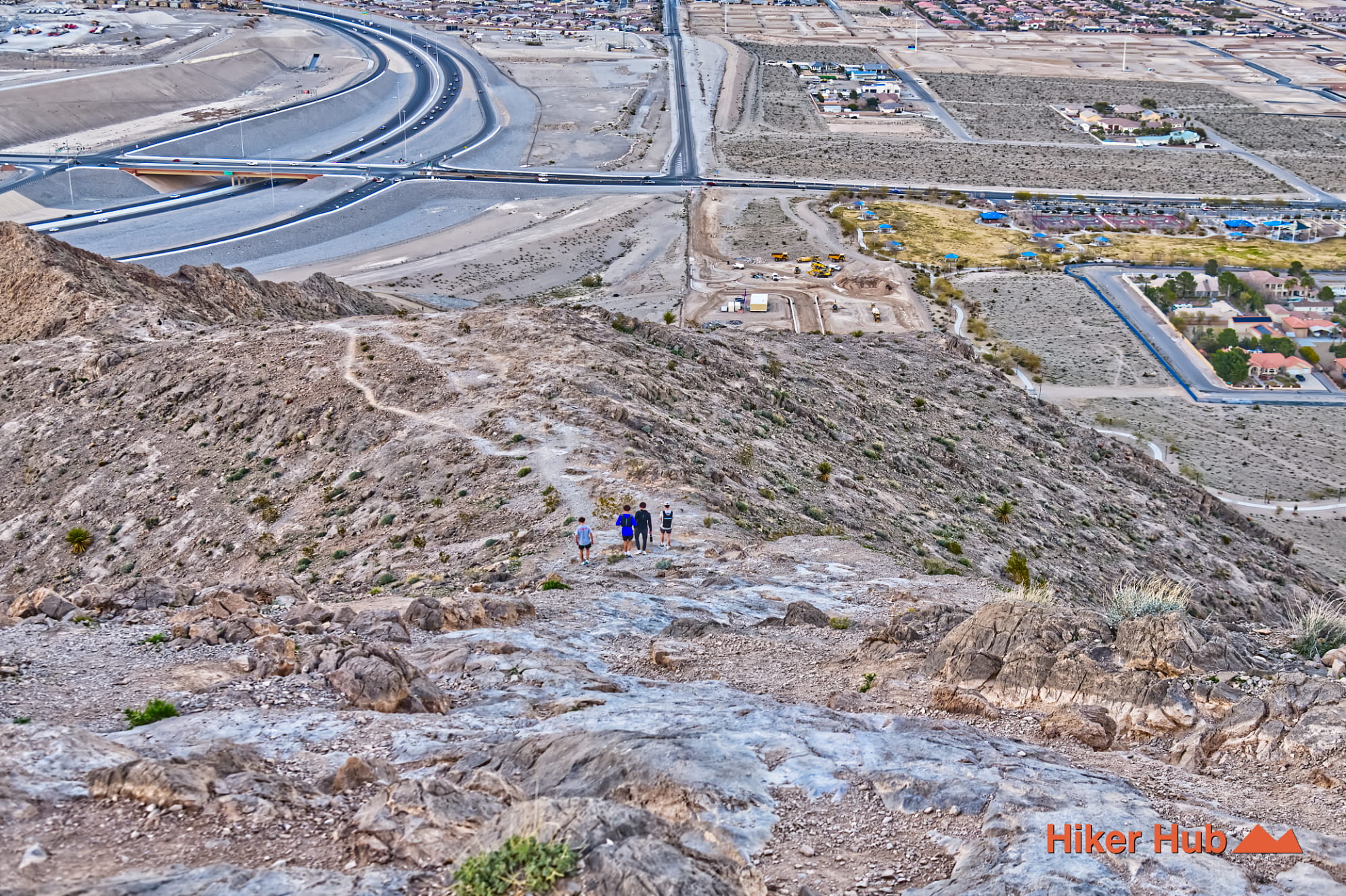
Lone Mountain is exactly what it sounds like: a single rocky high point with no nearby ridgeline to blend into. That isolation is what makes the summit feel bigger than its numbers suggest. Even on a brief climb, the perspective changes quickly—houses shrink, streets turn into a grid, and distant landmarks become easy to pick out on a clear day.
This is not a marked, maintained hiking trail with signs and mileposts. There are multiple routes up the mountain, and the best line often depends on where you start and what conditions look like. You’ll also see people starting from other edges of the mountain—some park on nearby streets, and others approach from areas closer to the freeway. Regardless of your starting point, plan on route-finding, and don’t be afraid to backtrack a few yards to find better footing.
Limeston usually offers reliable traction—great for steep climbing when you’re moving carefully. Unlike the softer, rounded feel of sandstone hikes where brush and vegetation can cushion the landscape, Lone Mountain is more exposed and “hard-surface” throughout.
Expect scrapes, cuts, and stubbed shins if you rush, especially on the descent. Gloves aren’t a bad idea for anyone who likes to steady themselves on rock. Hiking boots matter more than speed here.
Dogs are extremely common on this hike because it’s short and close to town. Still, it’s a steep climb with sharp rock, so keep pets close, bring water for them too, and be mindful that the descent can be tougher on paws and joints than the climb up.
For addition hikes, pursue neighboring Red Rock Canyon National Conservation Area. Closer to Lone Mountain, additional options include but are not limited to Black Friday, Toque, and an excellent loop.
Recommended gear
Gear picks are matched to this route using distance, difficulty, terrain, and desert conditions.
Disclosure: some links may be affiliate links. Red Rock Hiker Hub may earn a commission at no extra cost to you.
Water carry
Useful for exposed desert routes where one small bottle is not enough.
View hydration packsSafety
Worth carrying for cactus spines, scrapes, blisters, and minor trail injuries.
View first aid kitsFooting
Better traction helps on loose gravel, sandstone, rocky washes, and steeper trails.
View trail shoesShade
Simple shade matters on open desert terrain, sandstone slabs, and long approaches.
View hiking hatsEarly / late starts
Cheap insurance if a route takes longer than expected or you start before sunrise.
View headlampsSun protection
A lightweight sun layer is one of the most useful pieces of gear for Red Rock exposure.
View sun hoodies