Take Red Rock Offline
Offline maps coming soon. Be first to access downloadable routes.
Nearby Essentials
-
Gas: Chevron & TerriblesDirections
Some listings may be paid partnerships.
Know a useful stop near this trail? Suggest a business
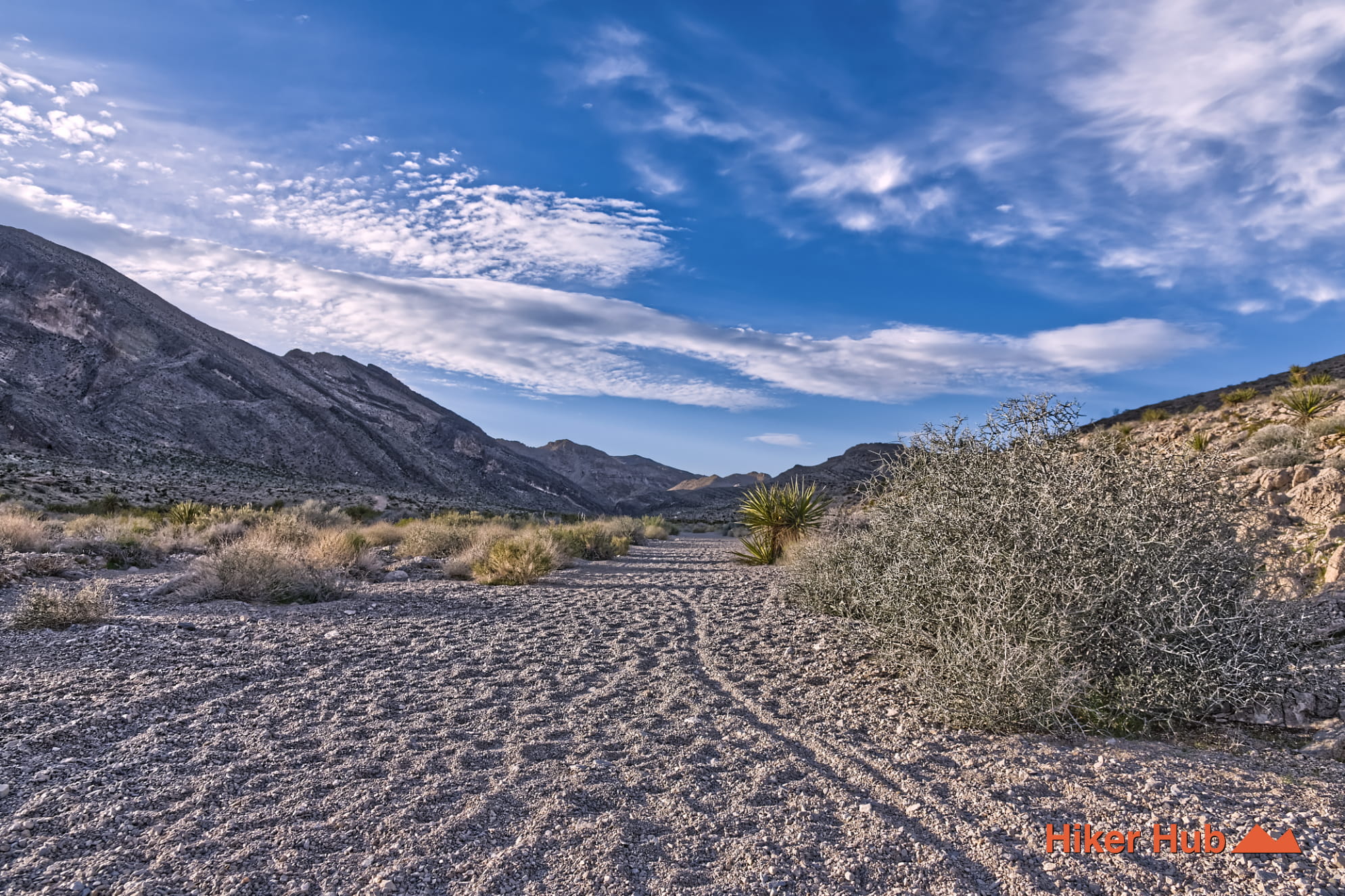
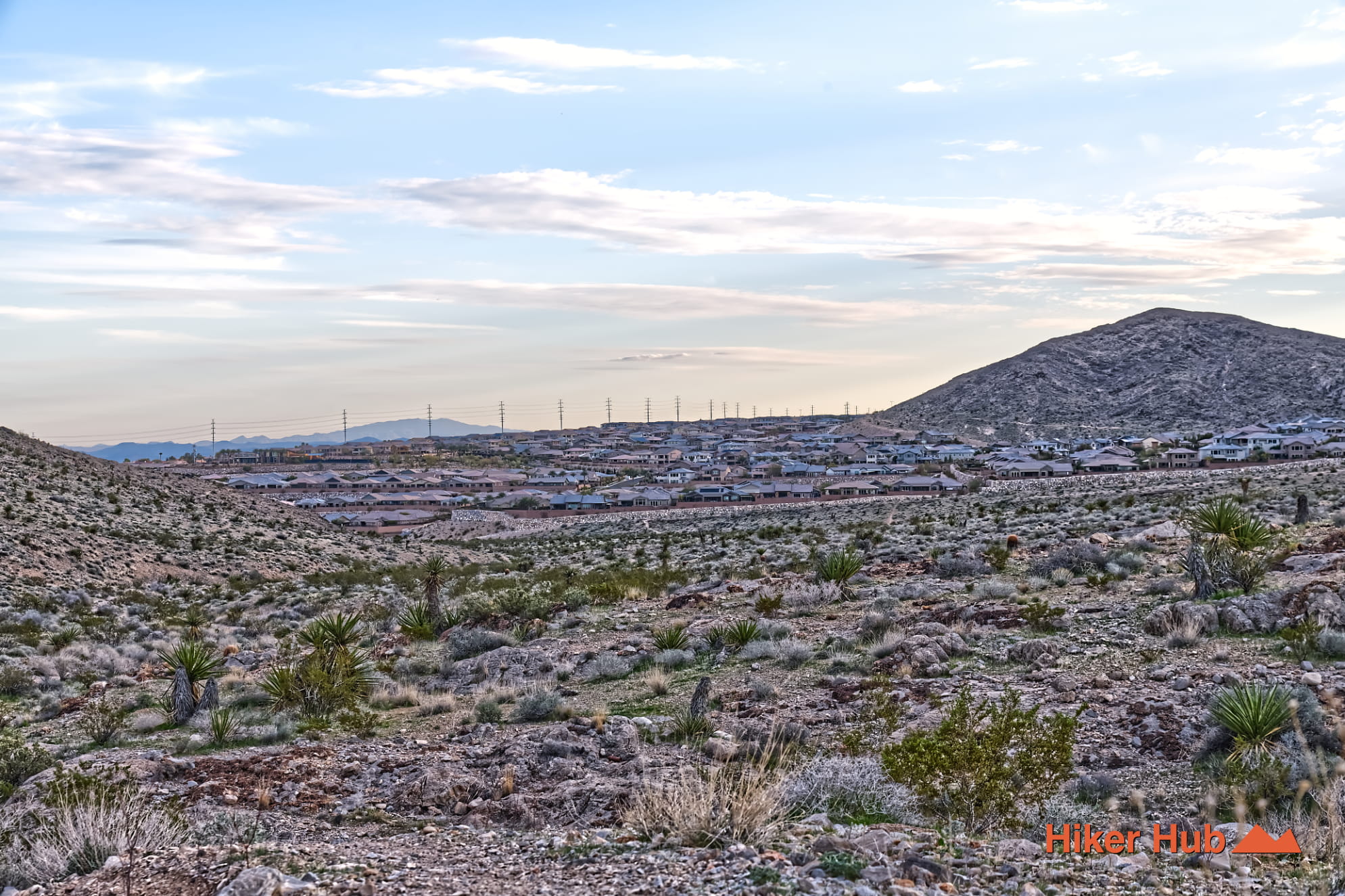
This Buckskin Cliff Shadows loop trail combines Toque, Black Friday, and Middle Earth into one segment ideal for hiking or mountain biking. This loop circles Cheyenne Peak and begins at the Buckskin Park south entrance. This is the main "Equestrian Park" with a large unpaved parking area designed for horse trailers. Trigono Hills Park is the middle entrance and Open Desert Park is the north entrance. Use the coordinates above or begin your journey at the south entrance.
Buckskin Cliff Shadows Loop
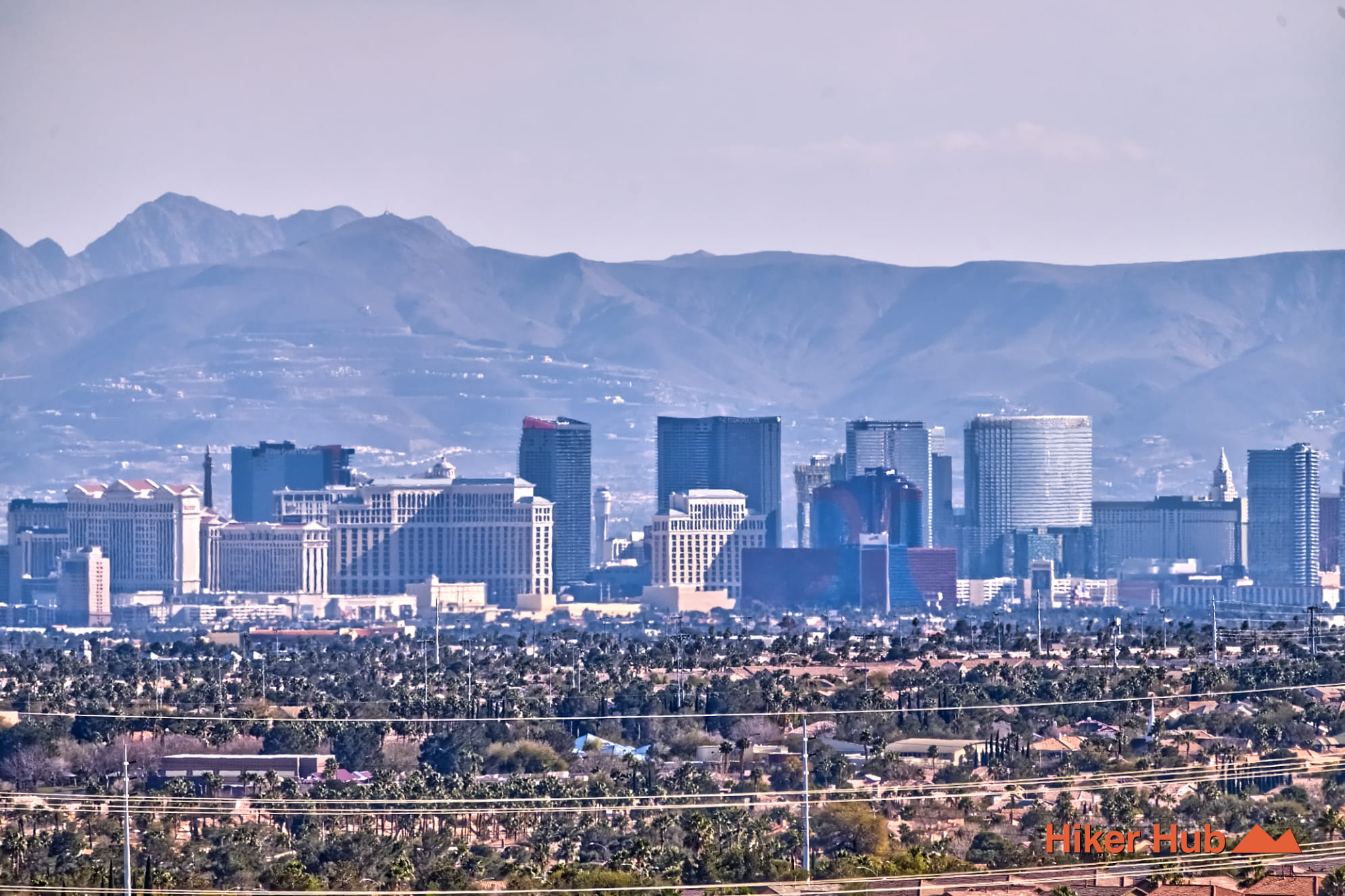
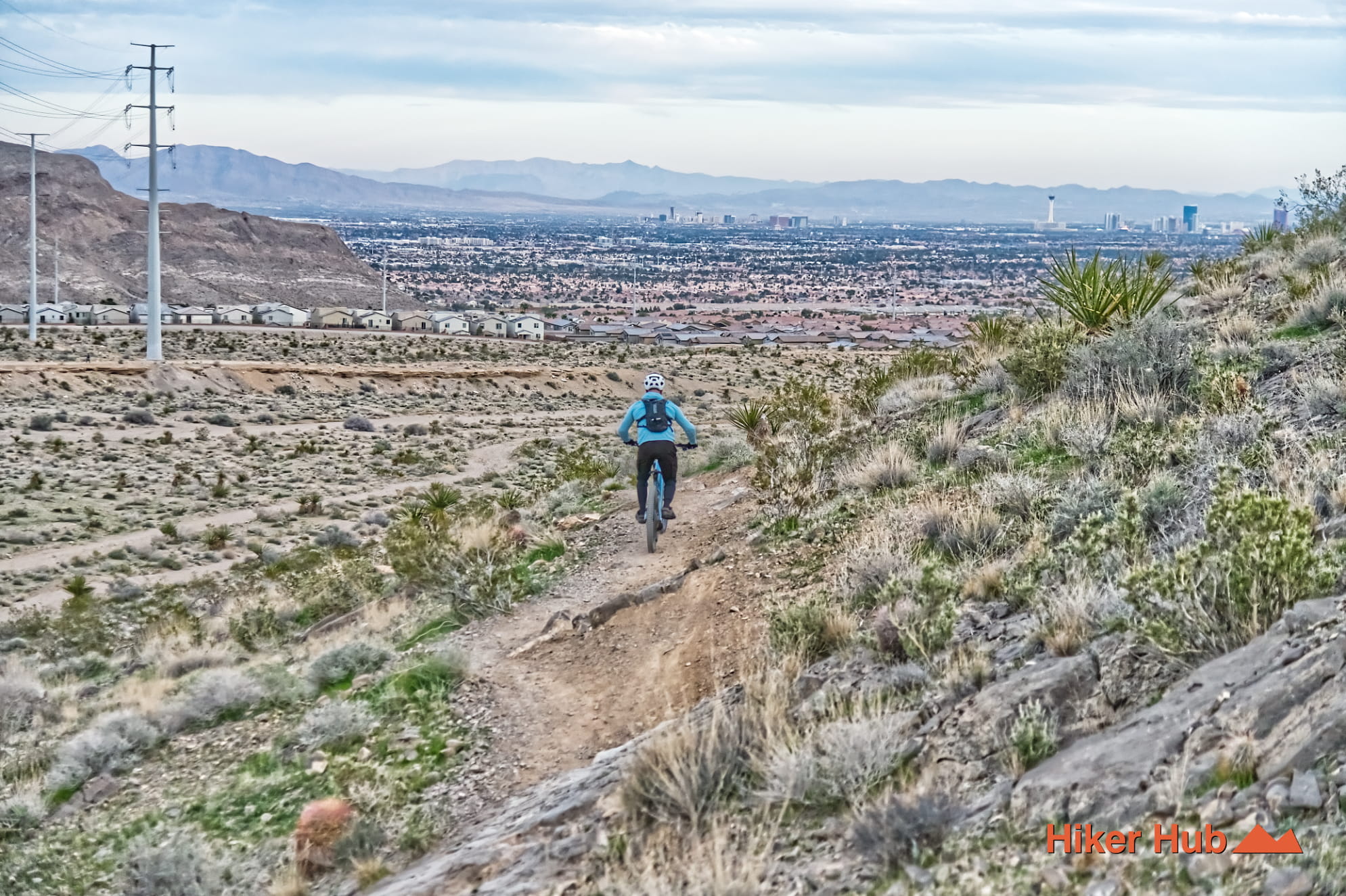
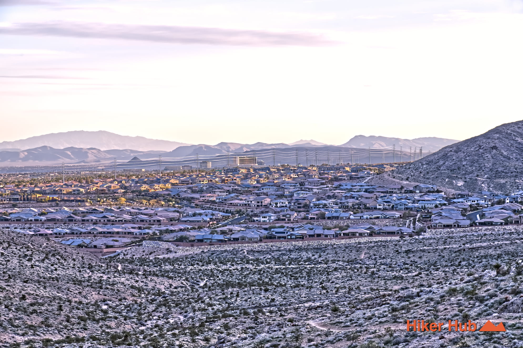
This fully exposed five mile loop runs along the main street, hugging the mountain then cuts around it. Taking this loop clockwise or counter clockwise provides equally adventurous routes. Both sides possess unique vantage points of The Strip. Of which are diverse views throughout the day and seasons. Though this area is part of Red Rock Canyon National Conservation Area, do not expect frequent trail markers. Each trail is marked at the start and end with misc options to diverge off the path. Using offline maps is the best way to ensure you hit all three trail marker checkpoints.
Limestone is abundant in this area and has unique small pockets with overhangs. Some areas even have overhangs that've been used for centuries old shelter. Frequent sightings of bighorn sheep have been recorded here. They're said to come from the neighboring La Madre Wilderness to graze on the desert scrub in the early morning hours along the shadowed cliffs where temperatures are lower. Due to thereof, and the darkness said cliffs provide from the Vegas Strip, it's a favorite spot for local amateur astronomers.