Explore trails, hikes, and outdoor routes throughout Red Rock Canyon, Mount Charleston, Basin and Range National Monument, Desert National Wildlife Refuge, and Southern Nevada. Find scenic walks, scrambling routes, OHV trails, and backcountry adventures based on distance, difficulty, terrain, and route style.
-
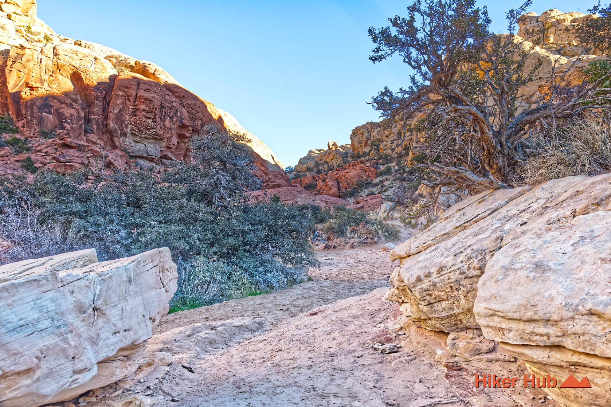
Calico Tanks Trail
Calico Tanks Trail is a classic Red Rock Canyon hike leading through colorful sandstone to natural water tanks with sweeping views of Las Vegas.
View Trail → -
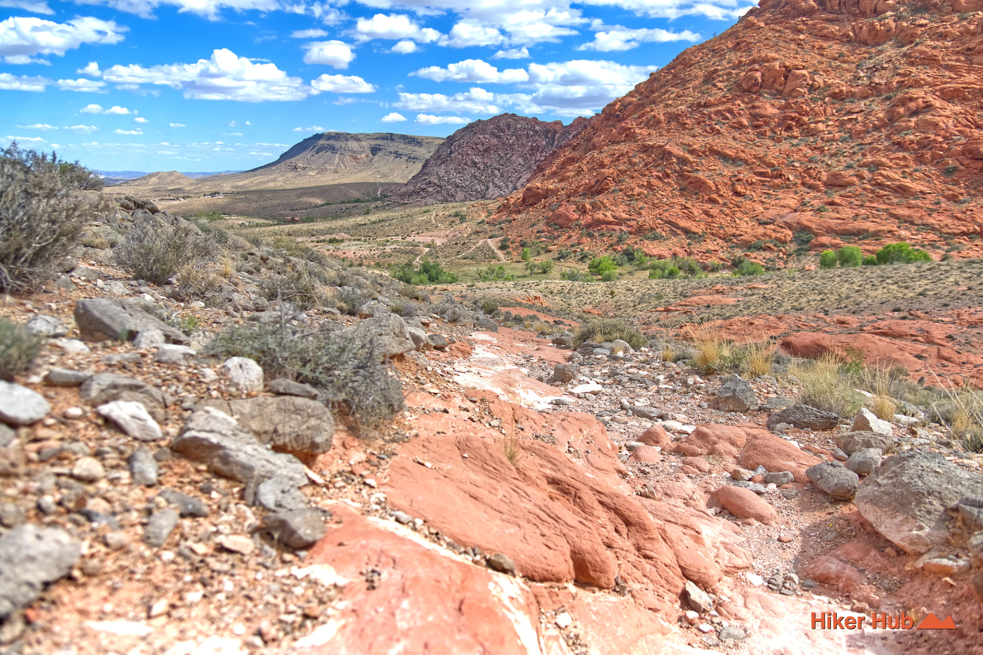
Hell Hill Trail
Not as hellacious as the name implies, but certainly a steep, brief, ascent. Serves as a portion of the Kraft Mountain loop, but extends slightly further, towards Ash Spring.
View Trail → -

Bob Gnarly–Boneshaker Loop
Fascinating and challenging hike or bike through rugged mountain terrain. This loop spans four separate trails, each of which possess unique environments.
View Trail → -
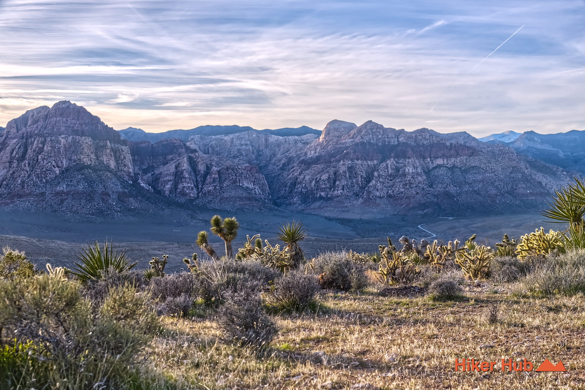
Cat in the Hat Trail
A primitive route known for mountain biking and hiking. Sits between the Bunny trail and Kibbles-n-Bits. Can be combined with others too.
View Trail → -
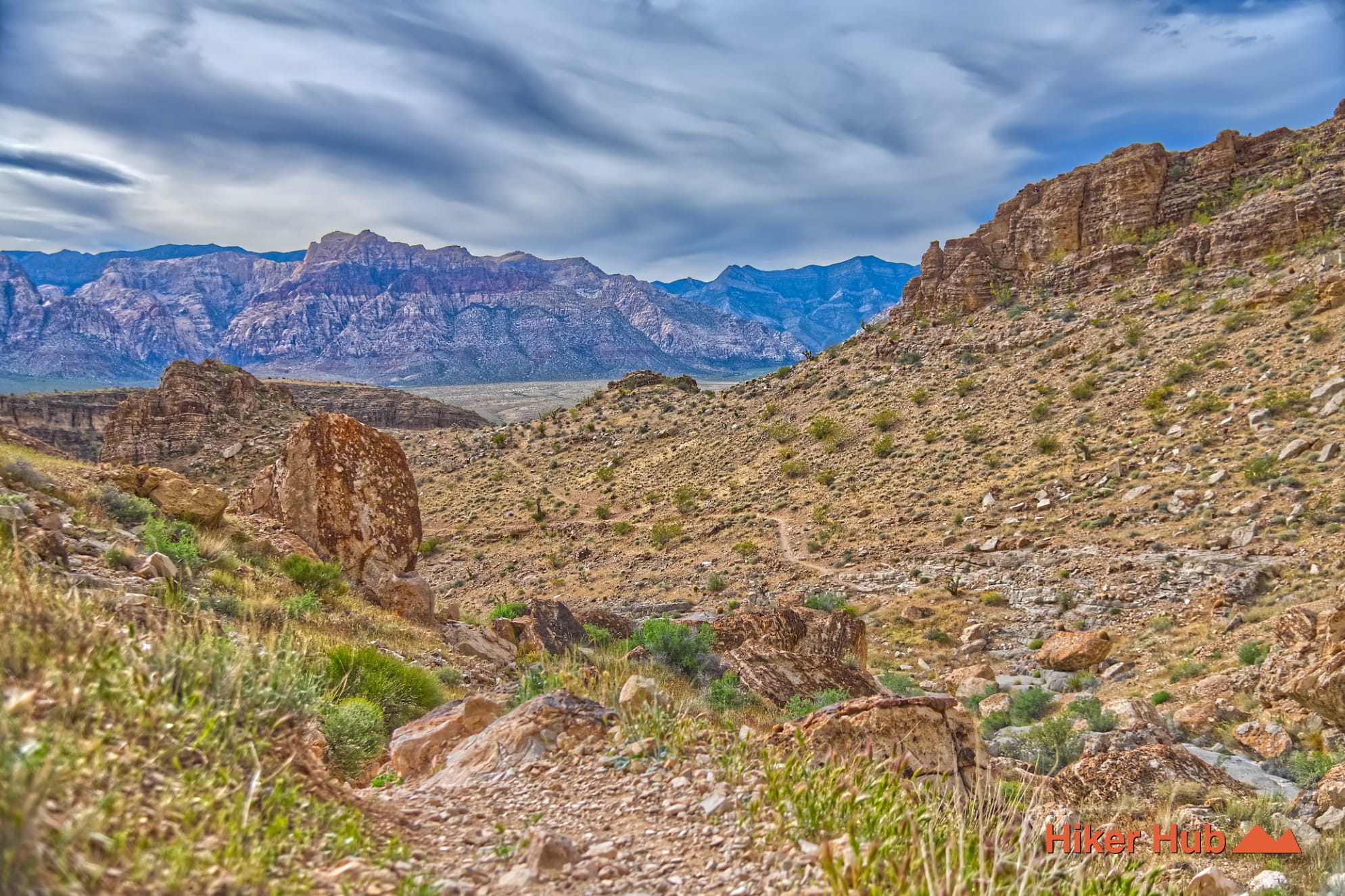
Bob Gnarly Trail
Progressive incline from spacious region, ascending through a wide to narrowing canyon. Connector route leading to views of the Las Vegas Valley.
View Trail → -
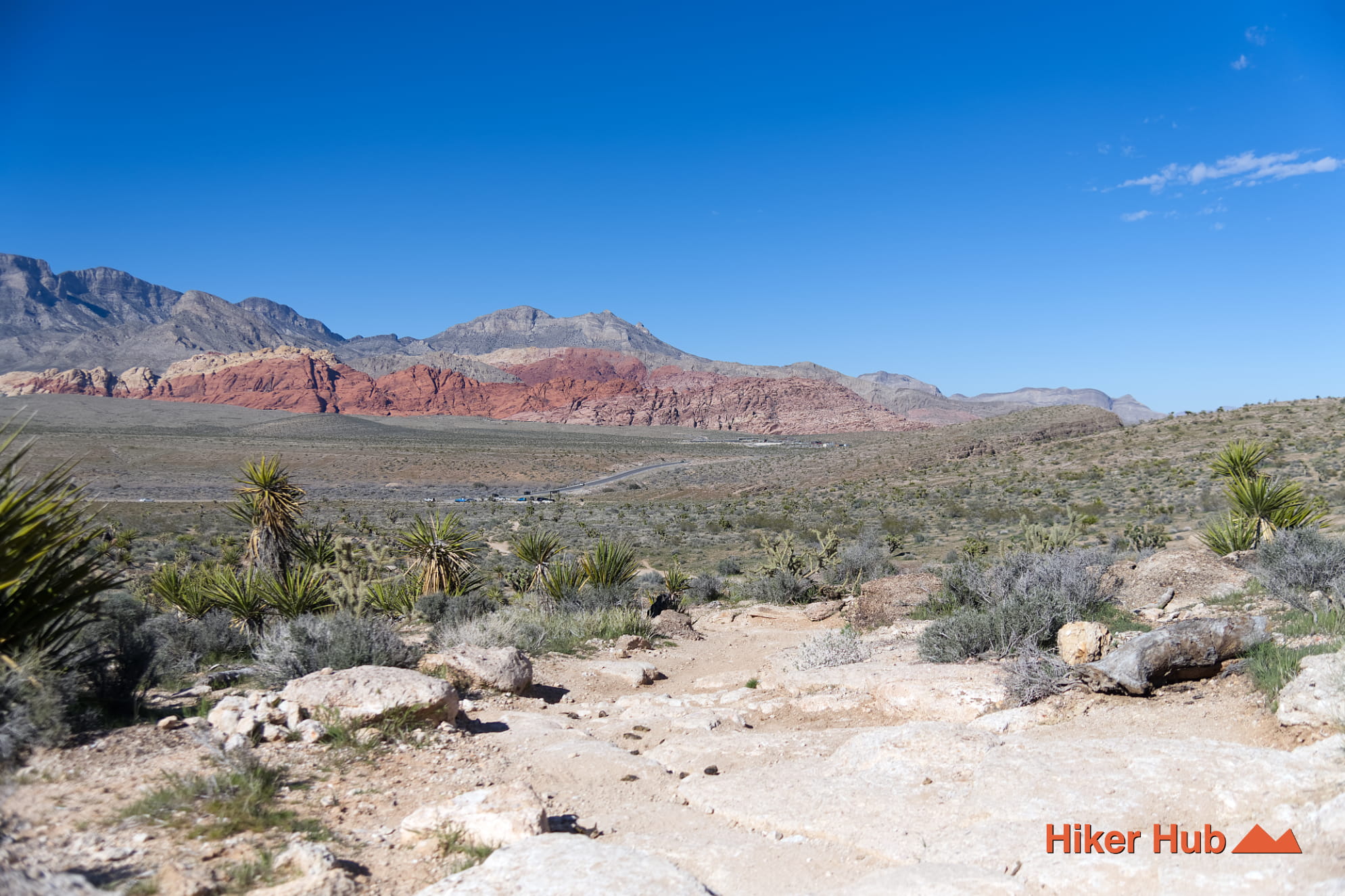
Bunny Trail
A short primitive route in the South side of Red Rock Canyon linking the wider Cowboy Trails network. Best used as a connector, contains open desert terrain, and has access to several loop options.
View Trail → -
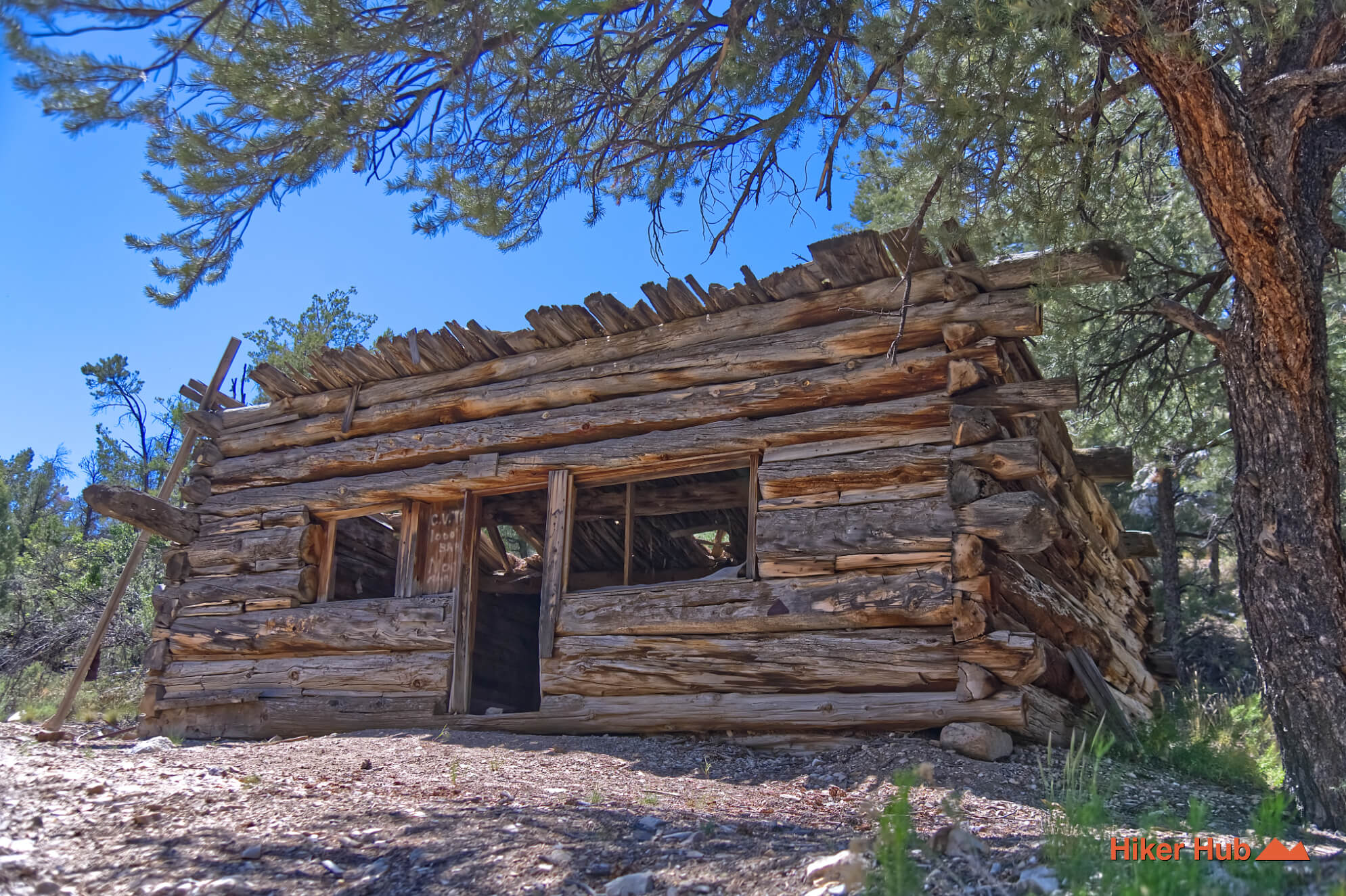
Lincoln County Nevada Backcountry Trail
Thrilling backcountry adventure passing through three high concentrations of petroglyphs, a tiny ghost town, an 1800's era log cabin, and much more!
View Trail → -
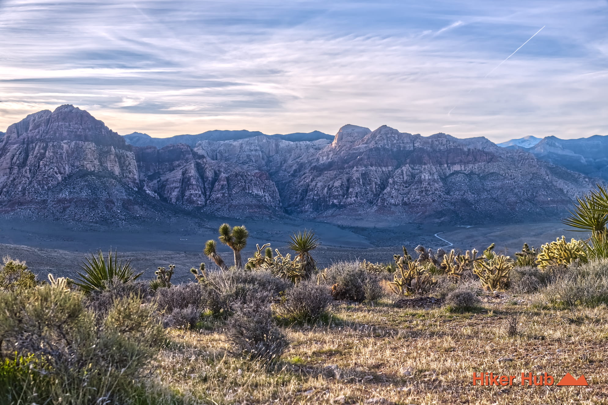
Kibbles n’ Bits Trail
A primitive connector route in the Cowboy Trails area that moves through rolling desert terrain and links well with Cat in the Hat.
View Trail → -
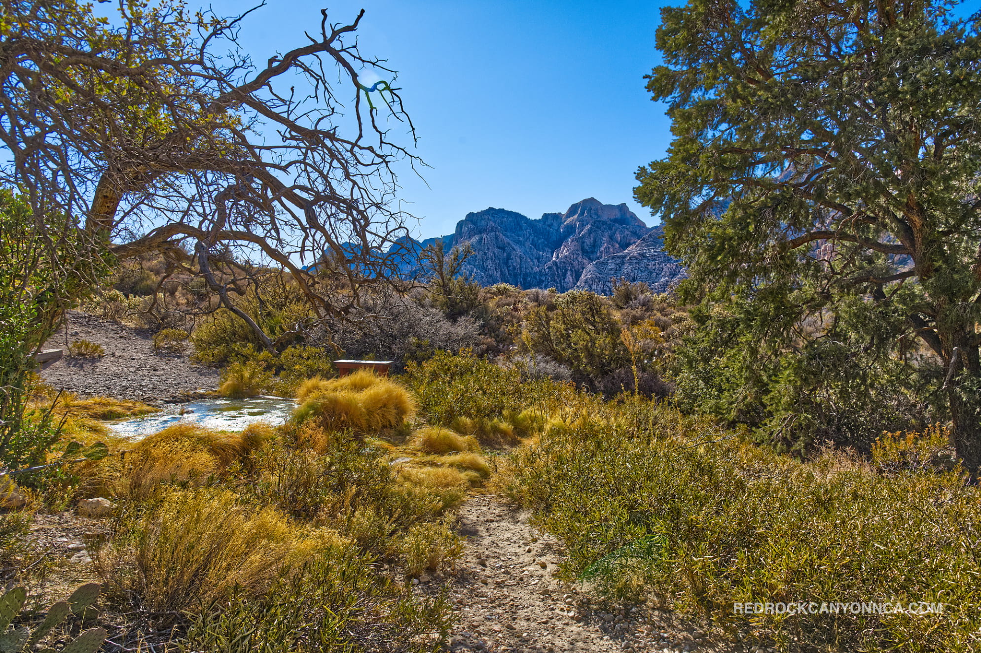
Grand Circle Loop
This 11 mile plus hike weaves both inside and outside the Scenic Loop giving hikers a glimpse at some of the most popular areas of the park.
View Trail →