Water carry
3L Hydration Pack
Useful for exposed desert routes where one small bottle is not enough.
View hydration packs32.33 miles • Hard • OHV Route
Conditions, access, and regulations can change. Always verify current information and assess safety before visiting.
Offline maps coming soon. Be first to access downloadable routes.
Some listings may be paid partnerships.
Know a useful stop near this trail? Suggest a business
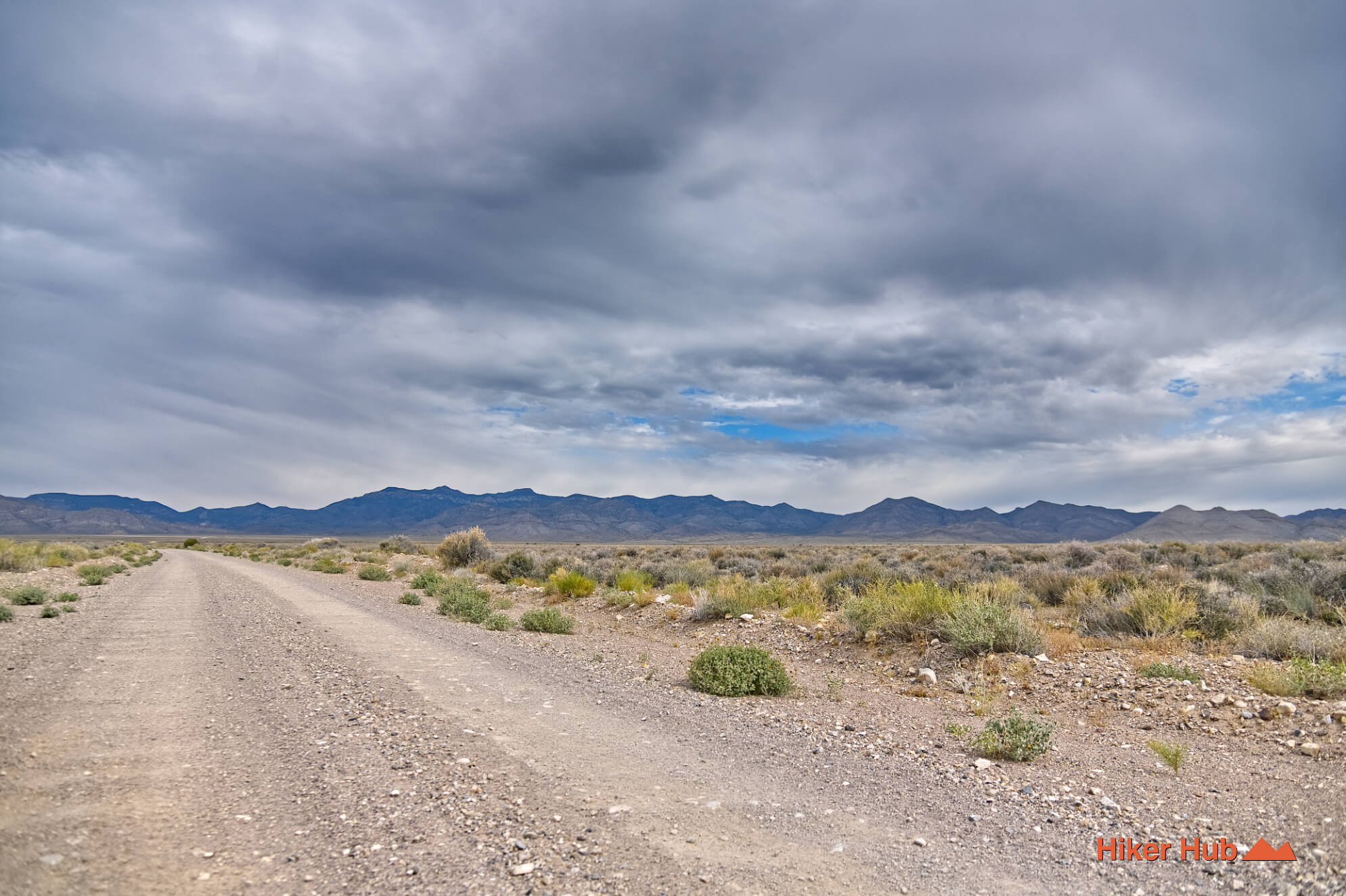
This 32.33 mile backcountry trail in Lincoln County, Nevada, is nothing short of a wild adventure. Despite the "hard" trail categorization, it's not miles of massively rocky terrain. Nor does it have sections of the road missing, making driving thereof a technical challenge. This is classified as hard because it is long, there are undoubtedly random forks, sections with loose gravel and sand, etc. Above all, this is a backcountry road entailing driving deep into a desert wilderness with zero reception, no services, and rarely any people. Be smart, plan ahead, and don't get stuck tens of miles away from civilazation. This region has very few visitors.
If you're coming from Las Vegas, make sure you stop for gas in Hiko or Alamo. The Mt Irish Wilderness and Basin and Range National Monument are very isolated regions, and gas stations are few are far between. Hiko and Alamo are very small towns and should offer you most things needed prior to this excursion into the Nevada desert.
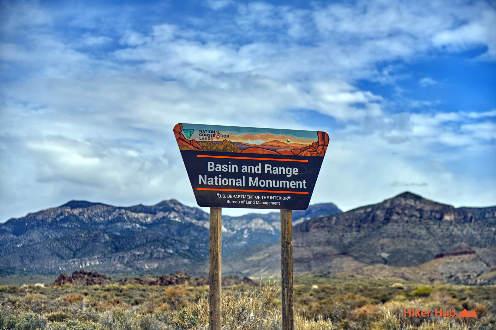
The Basin and Range National Monument is a massive, incredibly remote protected area encompassing roughly 704,000 acres of public land in southeastern Nevada. Located about two hours north of Las Vegas, it serves as a critical, ecologically intact transition zone where the hot Mojave Desert meets the Great Basin. The landscape is defined by a dramatic alternating topography of vast, flat desert valleys—framed by jagged, parallel mountain ranges sculpted by millions of years of tectonic activity.
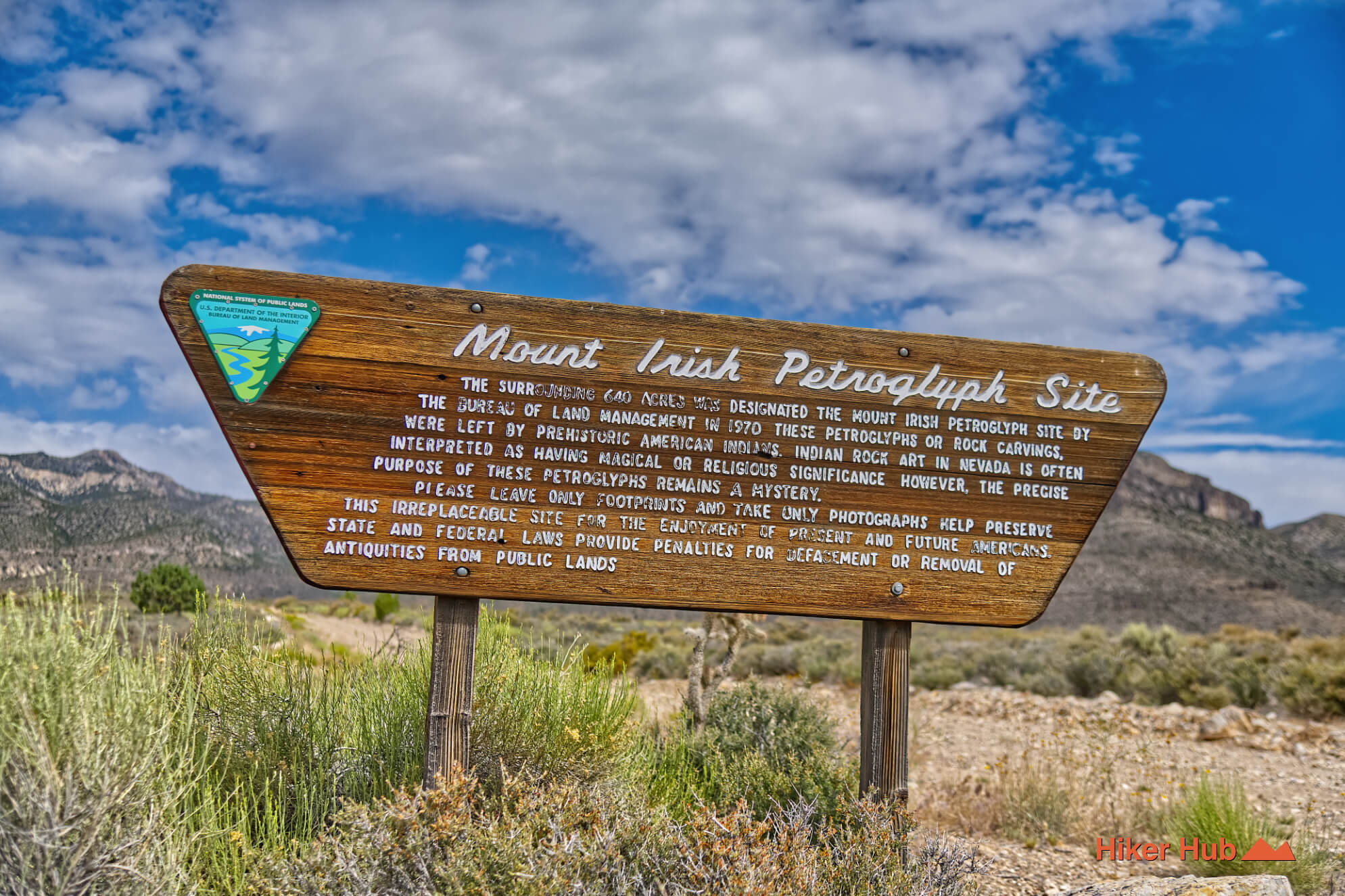
Established by presidential proclamation in 2015, this monument preserves 13,000 years of history. Visitors can explore ancient Native American rock art at the White River Narrows and Mount Irish Archaeological Districts, which feature prehistoric petroglyphs. The area also protects remnants of 19th-century pioneer mining and ranching.
Because the monument has no paved roads, visitor centers, or cell service, it has earned a reputation as one of the ultimate destinations for rugged, self-reliant outdoor adventure. Hikers, backpackers, and off-roaders come to places like the Worthington Mountains Wilderness to experience unbridled wildlife, stunning starlit skies, and a profound sense of absolute solitude that is difficult to find anywhere else in the American West.
The Crescent Mill is one of the oldest pieces of mining infrastructure in Nevada. Built in 1867, the site was specifically chosen because of its proximity to Crescent Spring, which supplied the massive amounts of water required to process ore. It was erected during the initial Pahranagat District silver rush to process rocks hauled from nearby operations. However, like many 19th-century boom-and-bust stories, the mill’s life was short-lived; it famously shut down just 10 days after it began operating due to a severe lack of funds, sparking a chain of corporate takeovers and brief expansions before it was permanently abandoned and partially dismantled in the 1870s.
Despite its age and the harsh desert elements, the remote canyon location has kept the Crescent Mill site surprisingly well-preserved, turning it into a spectacular destination for hikers and ghost town enthusiasts. The most striking and iconic feature remaining today is a towering, fully intact brick and stone smelter chimney that stands like a lonely sentinel against the desert backdrop. Scattered across the site are an abundance of remnants of the day.
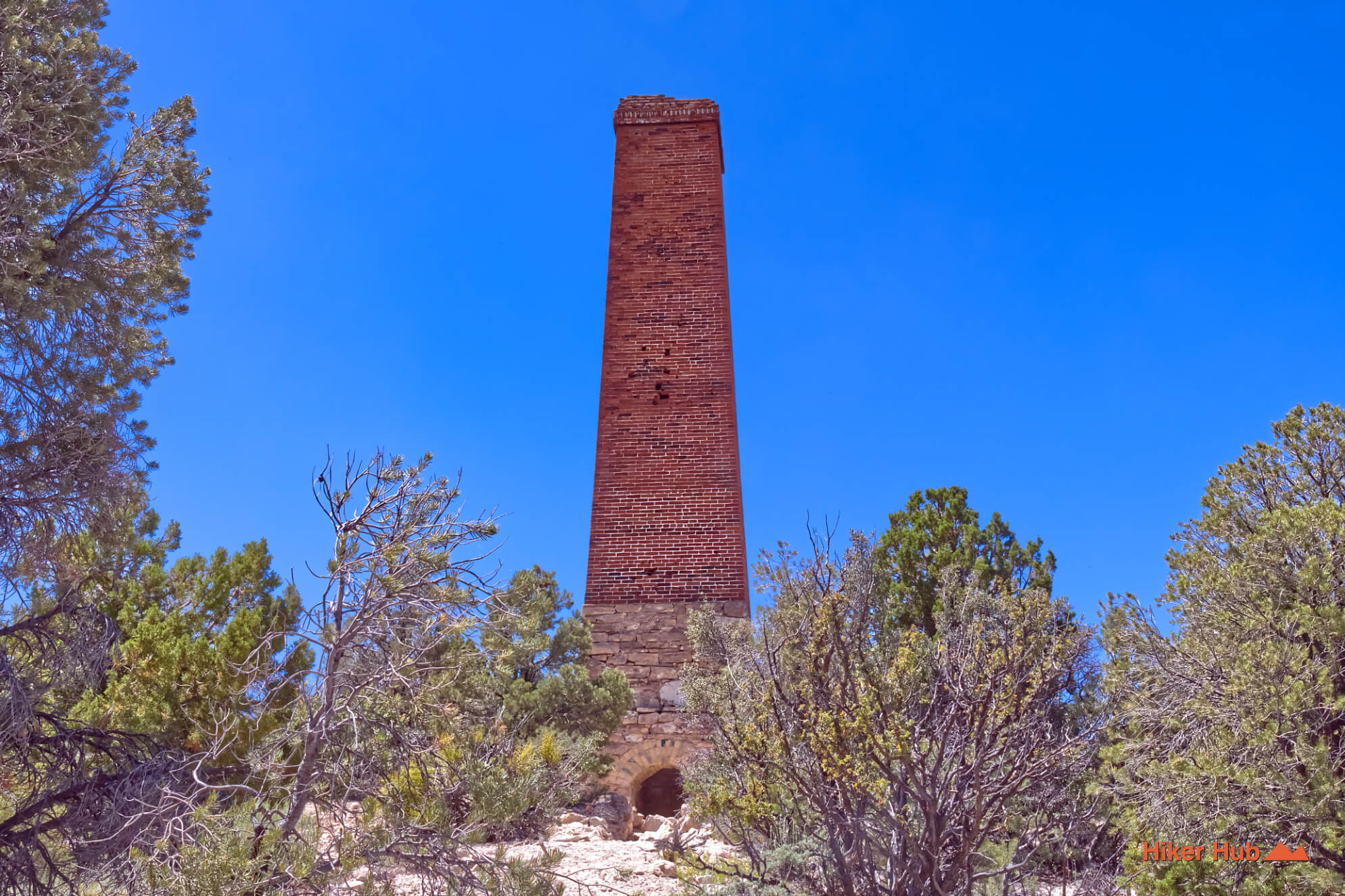
The area immediately surrounding the mill also gave rise to the short-lived settlement of Crescent City, which briefly boasted enough miners and families to warrant its own voting district in the 1870s. Today, accessing this forgotten piece of pioneer history requires high-clearance vehicles to navigate the rough, unpaved Crescent Mill Road weaving off the main highways. Because the ruins are officially protected within the boundaries of the national monument, visitors are reminded to take only photos and strictly avoid disturbing any historical artifacts, ensuring that this incredibly rare window into Nevada’s early silver frontier remains safe for future explorers.
Logan City was one of the earliest mining camps in what is now the Basin and Range National Monument. Founded in 1865 after the discovery of rich silver deposits near Mount Irish, the settlement quickly grew into the largest town in the Pahranagat Mining District. At its peak, Logan boasted a population of roughly 300 residents, a post office, hotel, store, stables, and several substantial stone buildings. The town's existence depended on nearby Logan Springs, one of the few reliable water sources in this remote landscape. As with many Nevada boomtowns, prosperity was short-lived; declining ore production and the rise of nearby Pioche led to Logan's abandonment by 1871.
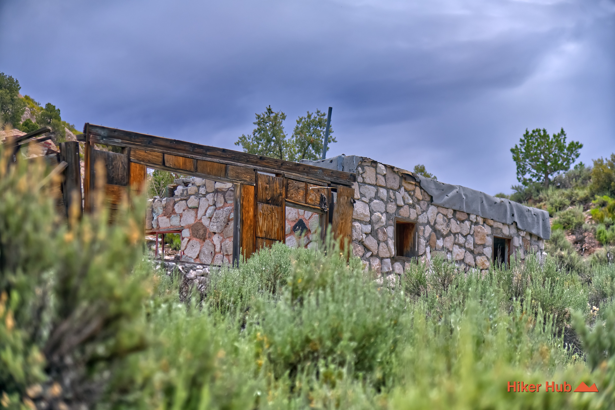
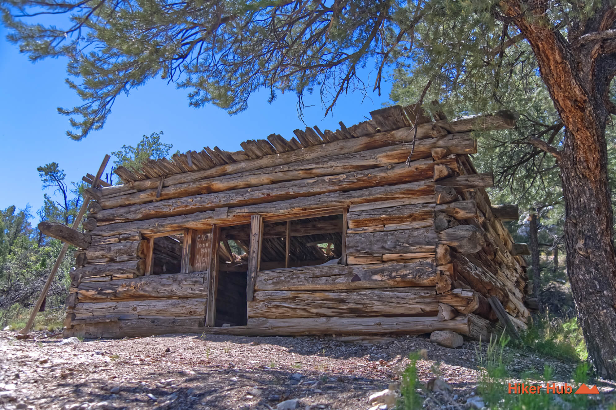
Today, Logan City survives as "ghost town"—one partially wrecked homestead and another structure that's a pile of ruins. The surrounding area is rich in both natural and cultural history, lying near the renowned Mount Irish Archaeological District, home to extensive Southern Paiute rock art panels and ancient cultural sites. The contrast between Native American history, the brief silver-mining boom, and the monument's vast undeveloped basin-and-range landscape makes Logan an especially compelling destination for those interested in Nevada's frontier heritage.
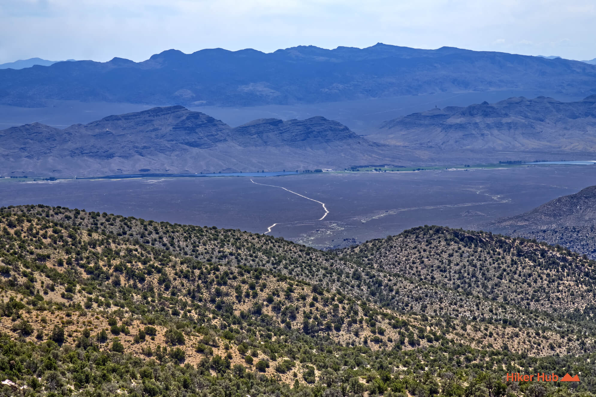
The Mount Irish Wilderness protects more than 28,000 acres of rugged mountains, pinyon-juniper woodlands, and colorful desert canyons within the eastern portion of the Basin and Range National Monument. Rising above the surrounding valleys, the Mount Irish Range provides a striking contrast to the open basins that characterize much of central Nevada. Elevations climb from desert scrublands into cooler upland forests, creating habitat for mule deer, bighorn sheep, raptors, and a variety of desert wildlife. The wilderness is valued for its remote character, sweeping views, and opportunities for hiking, wildlife observation, photography, and backcountry exploration far from developed recreation areas.
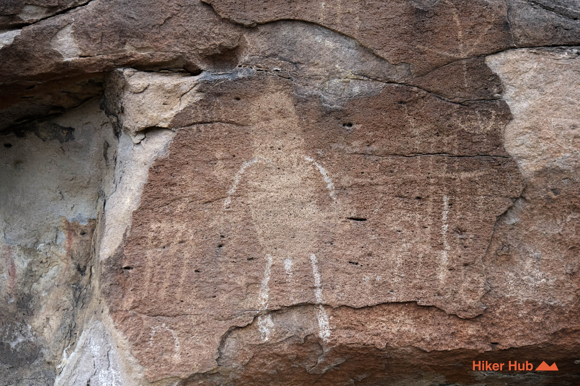
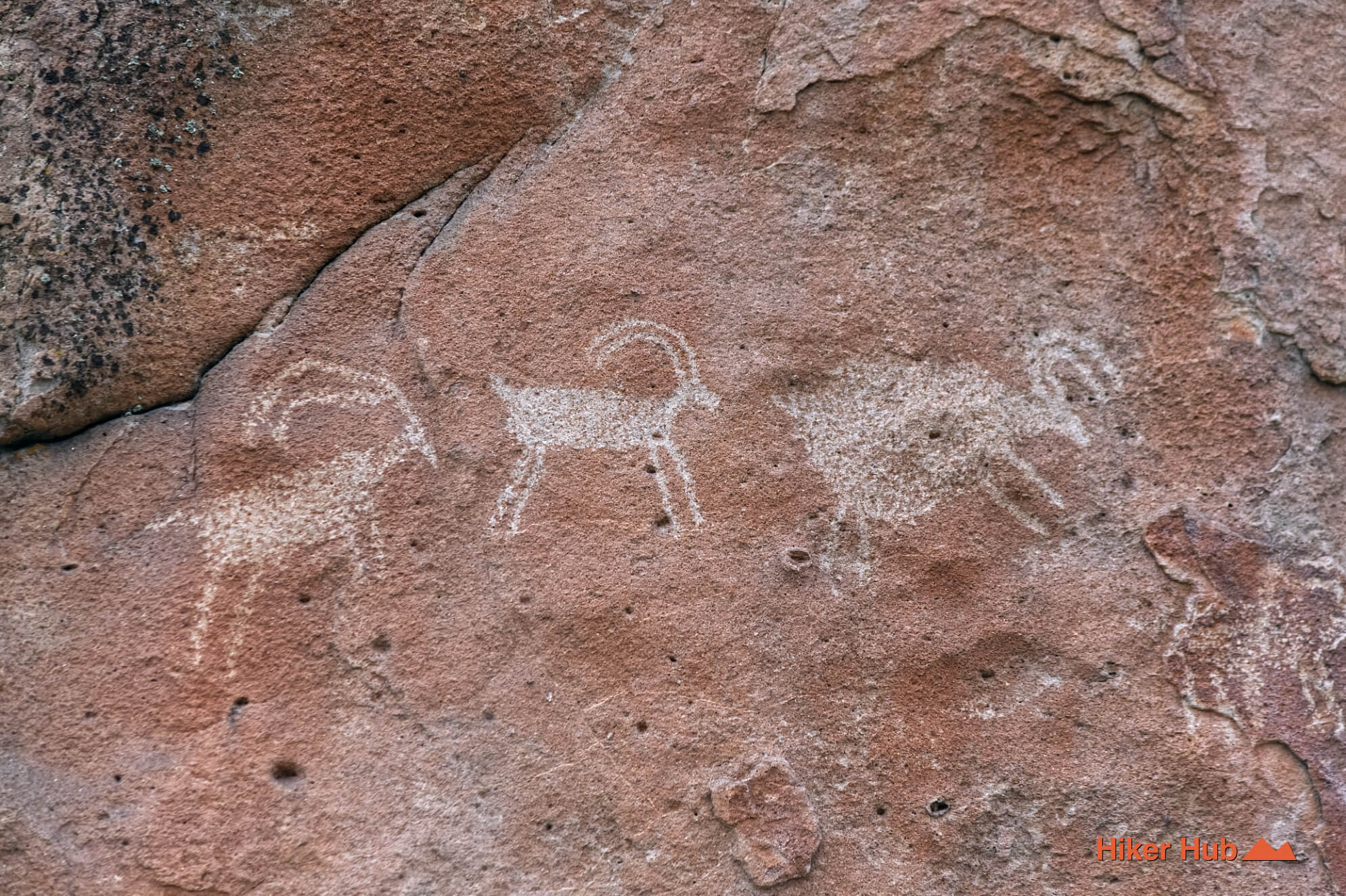
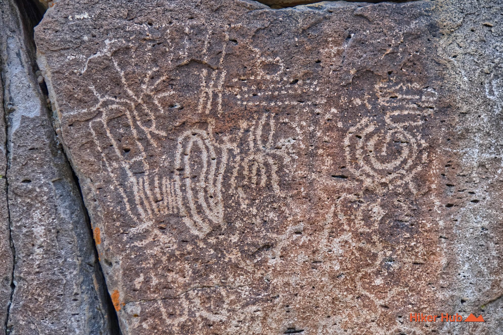
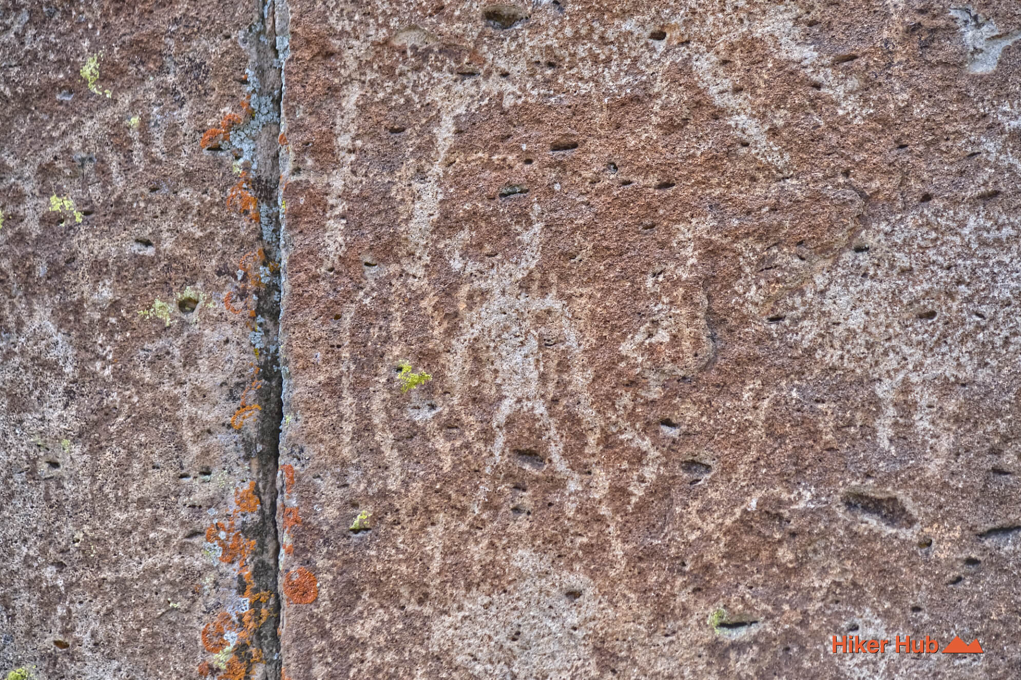
The petroglyphs, found throughout the Mount Irish Archaeological District, depict abstract designs, animals, and human figures, offering a glimpse into the region's long human history. Combined with nearby Logan City, the wilderness showcases thousands of years of cultural heritage set against some of the most dramatic basin-and-range scenery in the American West.
Nevada contains one of the richest concentrations of petroglyphs in North America, with rock art sites scattered across deserts, mountains, canyons, and volcanic landscapes throughout the state. Created by Indigenous peoples over thousands of years, these carvings were pecked or abraded into dark desert varnish covering exposed rock surfaces. Designs range from abstract geometric patterns and spirals to depictions of animals, hunters, human figures, and symbolic imagery whose meanings are often known only to the descendants of the cultures that created them.
These irreplaceable cultural resources provide valuable insight into the history, beliefs, and daily lives of Nevada's earliest inhabitants. Many petroglyph sites are protected by federal and state laws, and visitors should admire them from a distance without touching or climbing on the rock surfaces. Even small amounts of contact can damage the fragile desert varnish and accelerate deterioration. Preserving these sites helps ensure that future generations can continue to learn from and appreciate Nevada's deep cultural heritage.
Nevada's vast public lands offer exceptional opportunities for exploration, but the state's remote terrain and harsh climate require careful planning. Visitors should research routes in advance, carry detailed maps or reliable offline navigation tools, monitor weather forecasts, and inform someone of their travel plans before departing. Water is often the most critical consideration, as many routes have no dependable water sources and summer temperatures can become dangerous. Adequate food, sun protection, first aid supplies, and extra layers should be considered essential equipment rather than optional items.
Conditions can change rapidly in the backcountry. Flash floods, extreme heat, cold nights, vehicle breakdowns, and limited cell service are common realities across much of Nevada. Travelers should be prepared to handle unexpected delays, carry emergency supplies, and understand the limitations of their vehicles and physical abilities. A conservative approach to route selection and decision-making can significantly reduce risk and help ensure a safe and enjoyable experience in Nevada's remote landscapes.
Established in 1866 and named after the 16th U.S. President, Lincoln County, Nevada is a vast, sparsely populated expanse in southeastern Nevada known for its dramatic landscapes, rich history, and rugged outdoor recreation. Spanning over 10,000 square miles—making it larger than several U.S. states—the county is home to fewer than 5,000 residents, leaving roughly 98% of its untamed wilderness under public management. The region features a diverse high-desert environment that transitions from the arid Mojave Desert in the south to the pine-forested mountains of the Great Basin in the north.
It boasts five distinct state parks, including the dramatic slot canyons of Cathedral Gorge, and preserves a fascinating cultural heritage ranging from ancient Native American petroglyphs to 19th-century silver mining ghost towns like its county seat, Pioche. Today, while ranching and government services anchor the local economy, Lincoln County draws modern adventurers, stargazers, and curiosity-seekers alike with its dark night skies. Extensive mountain biking trails, backcountry trails, Logan City and Crescent Mill, petroglyphs, and the legendary, UFO-lore-filled Extraterrestrial Highway running right past the edge of Area 51.
Recommended gear
Gear picks are matched to this route using distance, difficulty, terrain, and desert conditions.
Disclosure: some links may be affiliate links. Red Rock Hiker Hub may earn a commission at no extra cost to you.
Water carry
Useful for exposed desert routes where one small bottle is not enough.
View hydration packsOHV routes
Useful for dirt-road and OHV travel where tire pressure matters.
View air compressorsSafety
Worth carrying for cactus spines, scrapes, blisters, and minor trail injuries.
View first aid kitsOHV backup
For sand, loose dirt, and remote vehicle routes where self-recovery matters.
View traction boardsOHV routes
A common off-road tool for airing down before rough dirt roads.
View tire deflatorsEarly / late starts
Cheap insurance if a route takes longer than expected or you start before sunrise.
View headlamps