Water carry
3L Hydration Pack
Useful for exposed desert routes where one small bottle is not enough.
View hydration packsRed Rock Canyon, Las Vegas
7.05 miles • Hard • Trail
Conditions, access, and regulations can change. Always verify current information and assess safety before visiting.
Offline maps coming soon. Be first to access downloadable routes.
Some listings may be paid partnerships.
Know a useful stop near this trail? Suggest a business
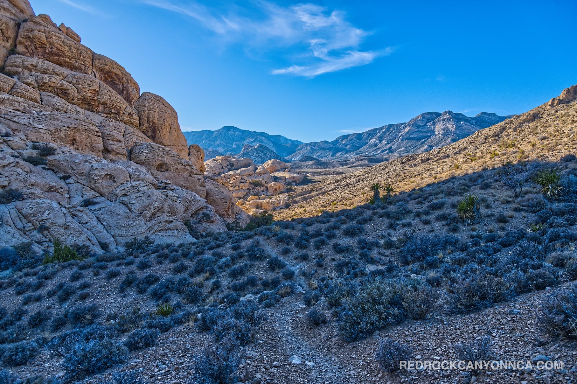
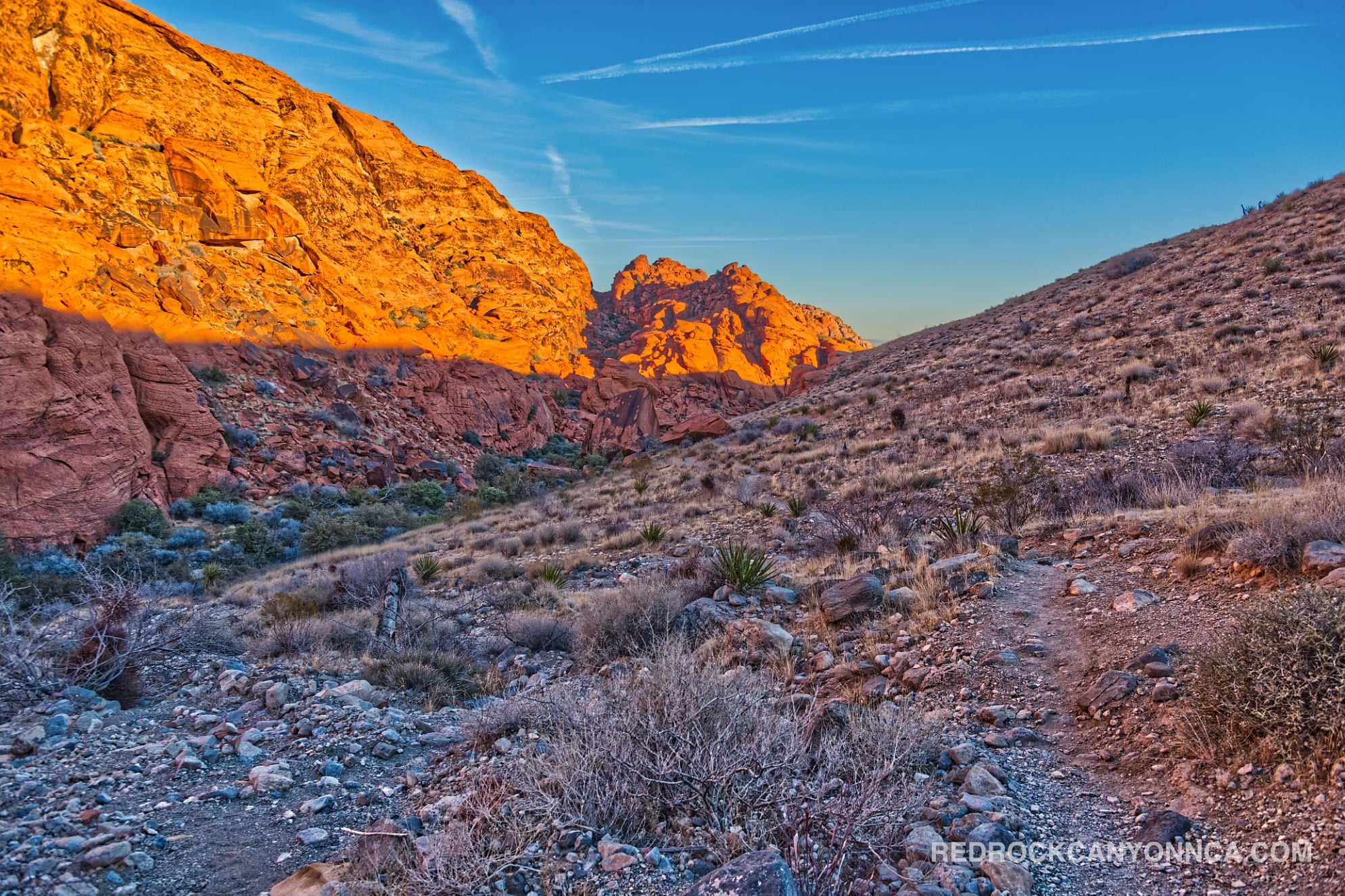
The Calico Hills Loop is not one officially signed trail. It's a locally assembled circuit that combines several established and informal routes around the Calico Basin and the first section of the Red Rock Canyon Scenic Loop. The loop offers exceptional variety—red sandstone ridges, open desert, narrow connectors, overlooks, and access to the Calico Tanks corridor—but it also demands more navigation than a standard out-and-back. It's best for hikers who already understand the Calico trail system or are prepared to follow a downloaded route.
A common version begins at the Red Spring parking area and travels through the basin. The sequence generally includes:
Hikers can also begin from the Kraft Mountain lot, Calico I, Calico II, or Sandstone Quarry, but those choices change road crossings, parking logistics, and the direction of the hardest climbs. This flexibility is one reason locals value the route; it can be adjusted when the Red Spring lot is full or when a shorter day is needed.
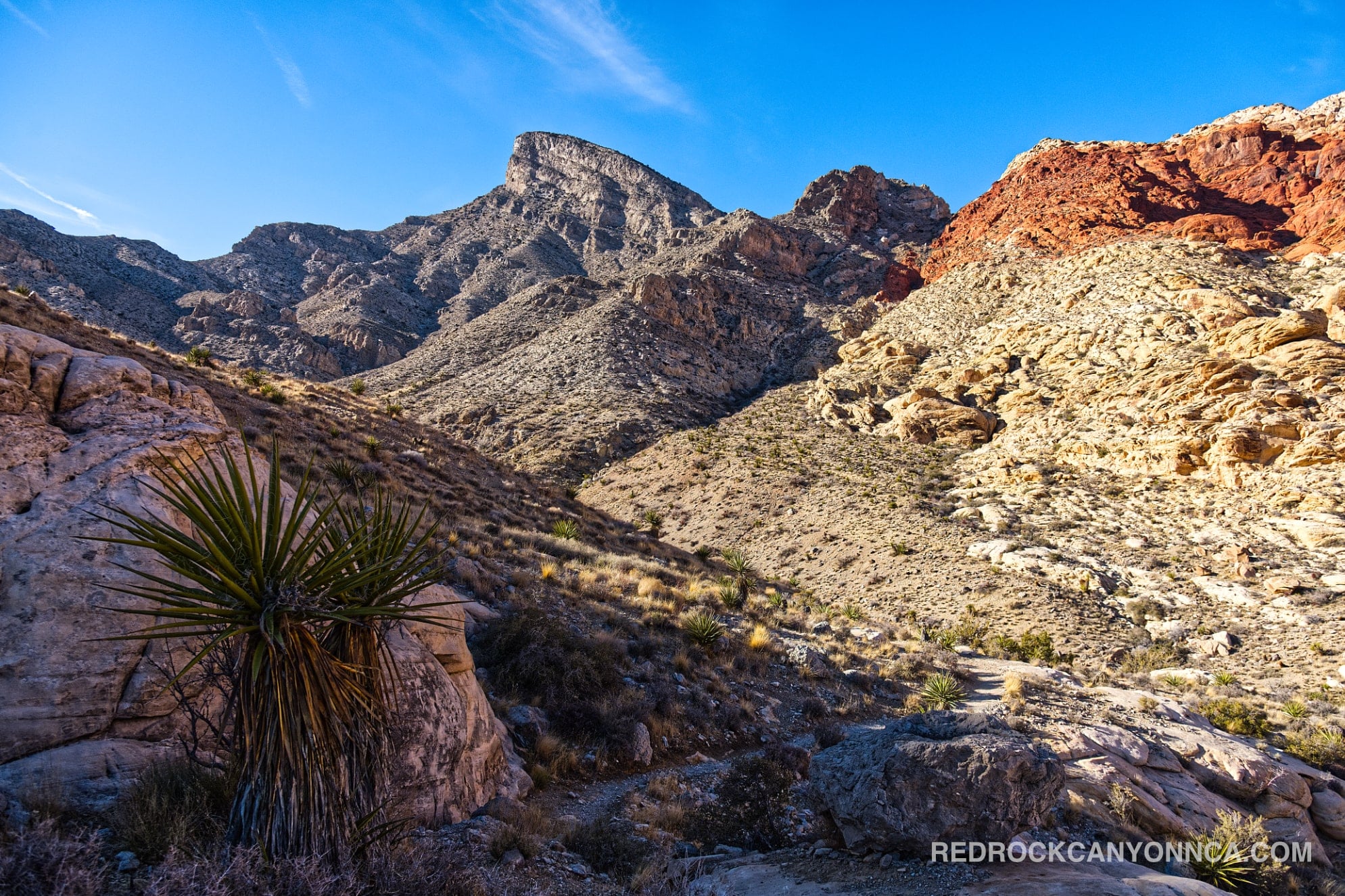
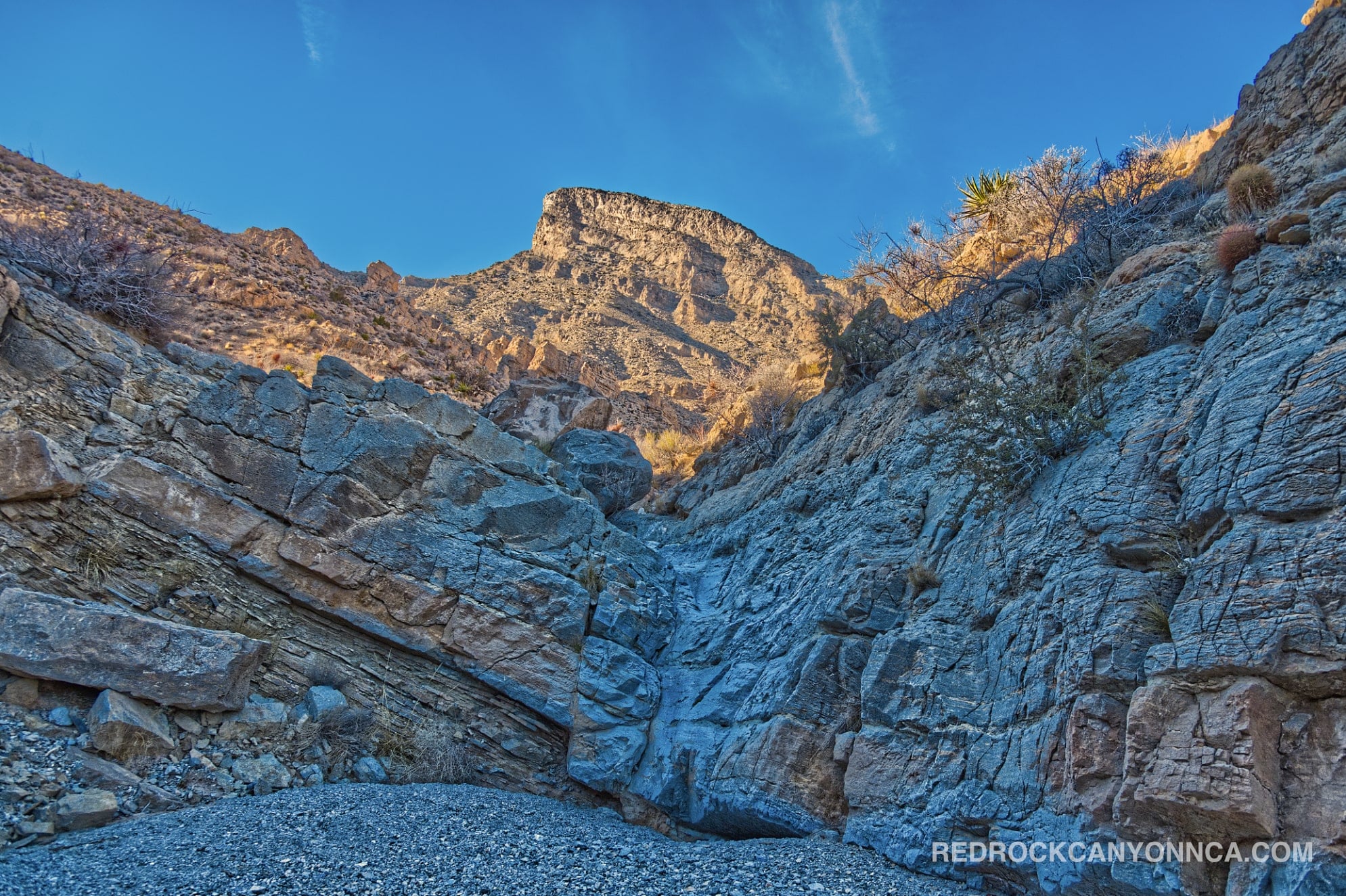
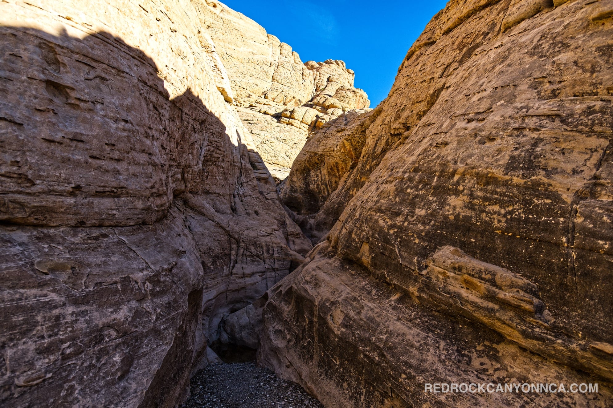
The loop circles and crosses part of the Jurassic Aztec Sandstone landscape. Ancient windblown dunes hardened into layers that now appear as red, orange, cream, and white cliffs. Cross-bedding, alcoves, and small rock basins are visible throughout the route. From higher points, the darker limestone mountains behind the Calico Hills reveal that Red Rock Canyon geology is not limited to sandstone. The colorful rock is only one chapter in a much larger American Southwest landscape.
The route also passes near Red Spring and other drainage features that support more vegetation than the exposed ridges. Do not cut across meadows or wet ground to shorten the loop. Small riparian areas are disproportionately important to desert wildlife and are easily damaged by repeated foot traffic.
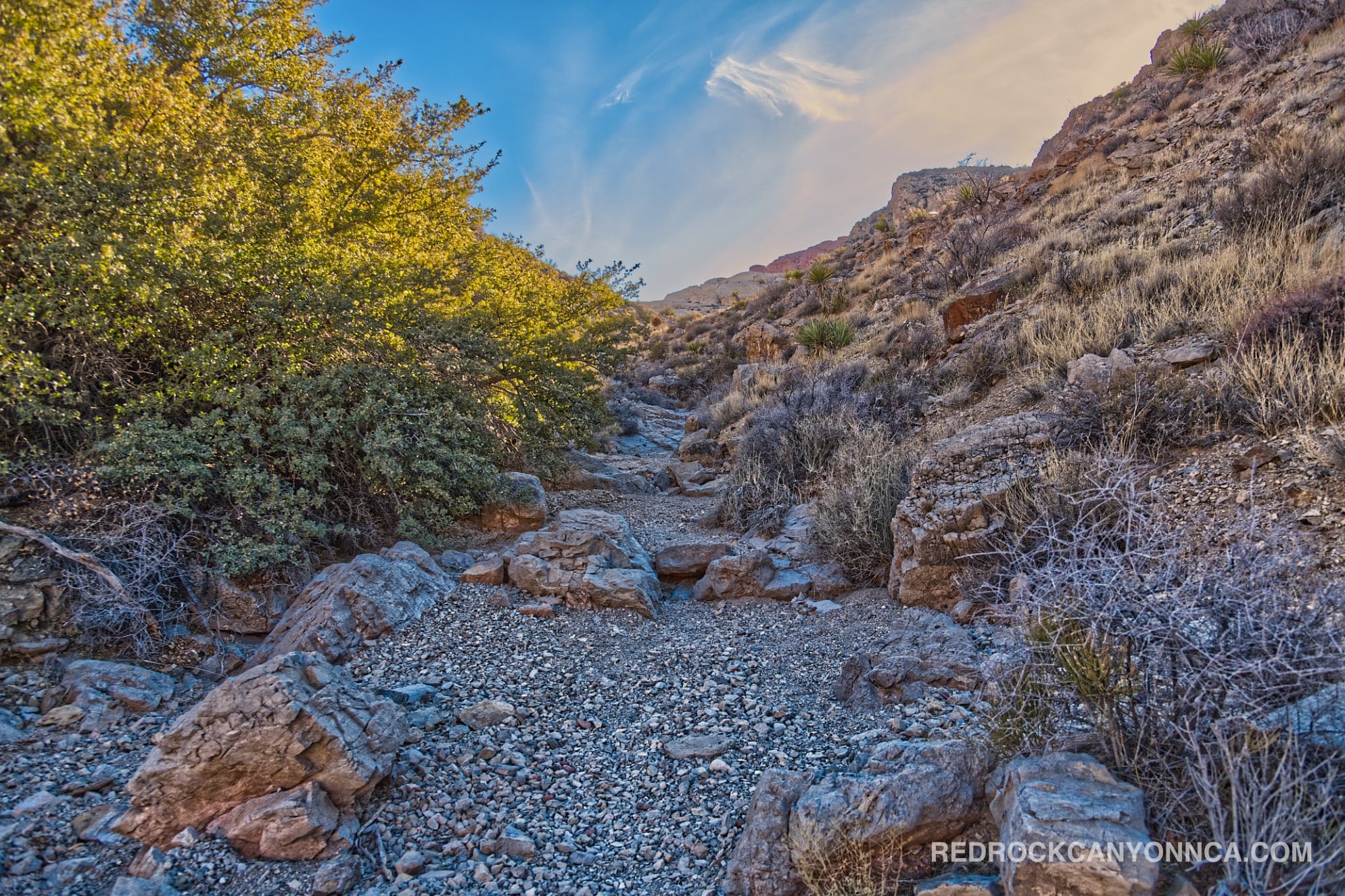
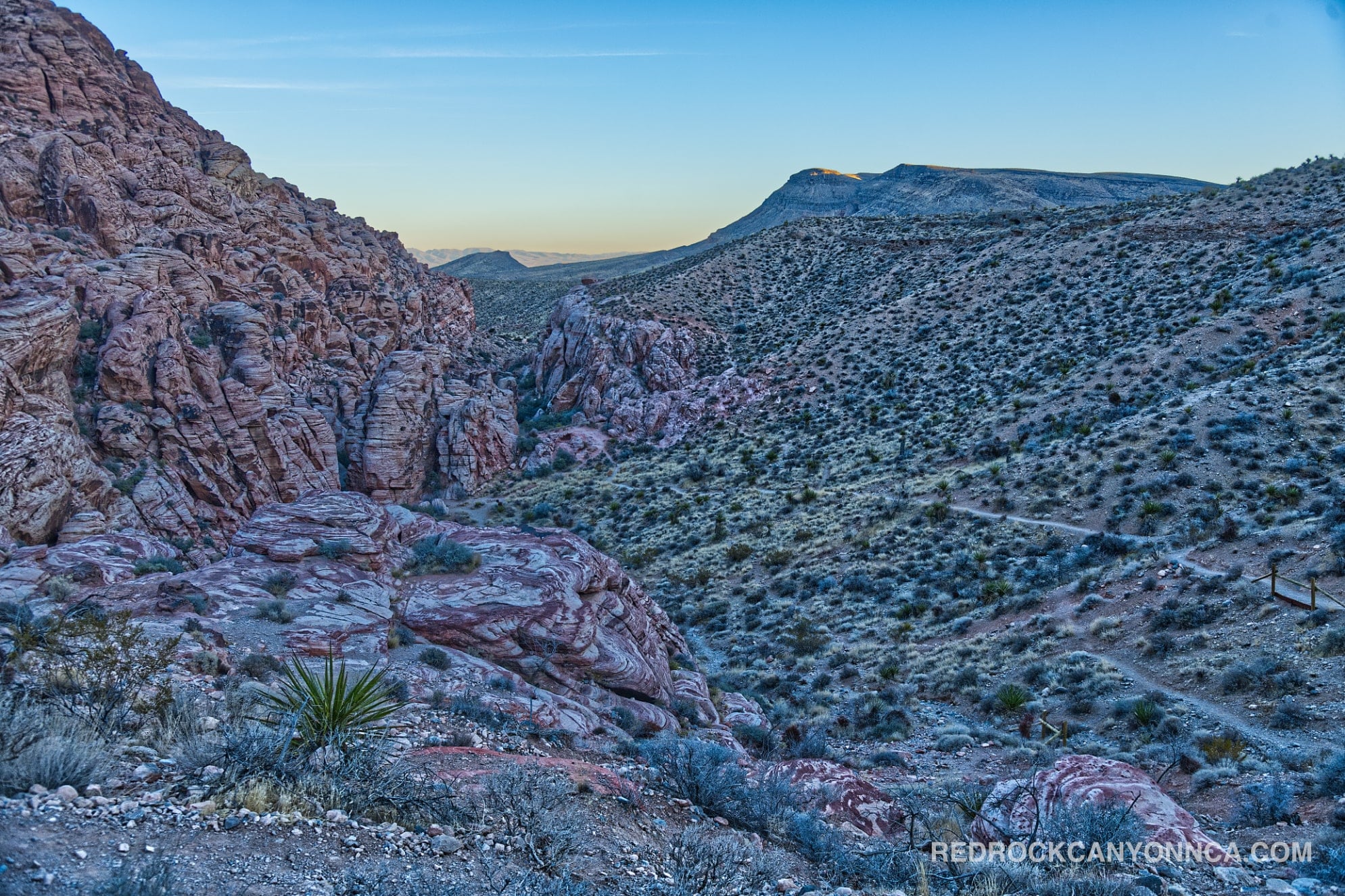
Hell Hill and the Rattlesnake connection are usually the most confusing portions. Markers are limited, multiple social trails branch from the main line, and a path that looks established can lead toward a climbing route or dead end. Offline navigation, a charged phone, adequate daylight, water, and proper hiking shoes are essential. This is not the route to improvise late in the afternoon.
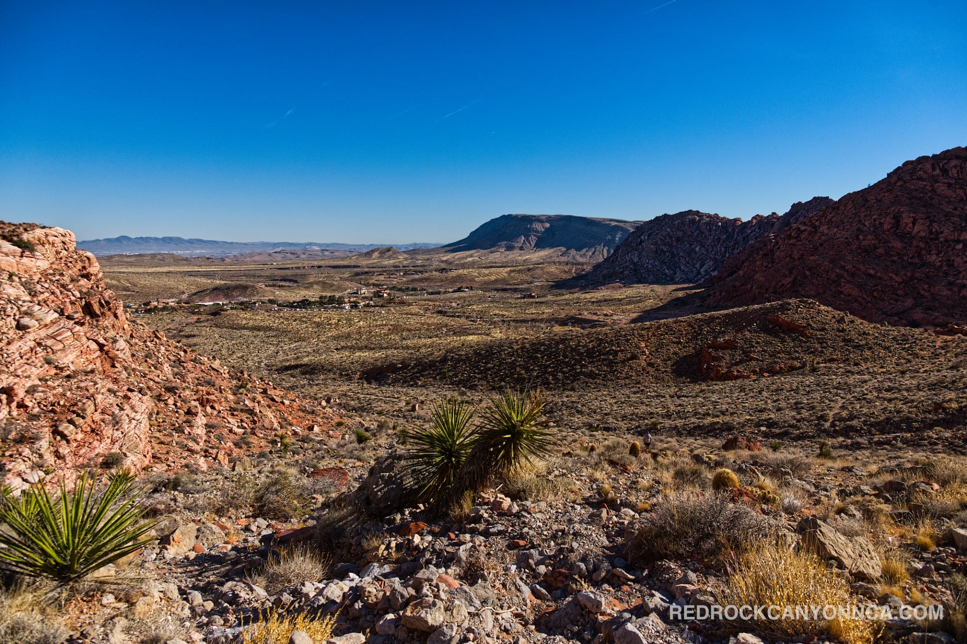
The high points are the changing viewpoints: the Calico Basin spreads below, sandstone walls rise close to the route, and the Las Vegas Valley appears beyond the desert. The circuit gives a fuller understanding of the terrain than a single overlook. For another visual perspective on local hiking, see Hiking in Las Vegas or watch What It’s Like to Go Hiking in Red Rock Canyon.
November through April is the strongest season for the complete loop. The lower access points can be among the busiest places in Red Rock Canyon Nevada, especially on weekends, but traffic thins quickly on Hell Hill, Rattlesnake, and the longer connectors. That creates an unusual crowd pattern: busy parking lots and popular sandstone stops at the edges, followed by long sections where hikers may see few people.
The loop is ideal for experienced hikers, local trail runners, photographers who want multiple perspectives, and visitors who enjoy route-building. Beginners should first learn the individual pieces—Calico Basin, Girl Scout, Calico Overlook, and Calico Hills—before linking the entire circuit. Avoid the route during extreme heat, thunderstorms, or immediately after heavy rain when sandstone and washes may be unsafe.
Recommended gear
Gear picks are matched to this route using distance, difficulty, terrain, and desert conditions.
Disclosure: some links may be affiliate links. Red Rock Hiker Hub may earn a commission at no extra cost to you.
Water carry
Useful for exposed desert routes where one small bottle is not enough.
View hydration packsSafety
Worth carrying for cactus spines, scrapes, blisters, and minor trail injuries.
View first aid kitsFooting
Better traction helps on loose gravel, sandstone, rocky washes, and steeper trails.
View trail shoesEarly / late starts
Cheap insurance if a route takes longer than expected or you start before sunrise.
View headlampsPhone backup
Useful when taking photos, checking maps, or spending a long day outside.
View power banksHeat support
Helpful on hot days, longer hikes, and steep routes where plain water may not be enough.
View electrolytes