Water carry
3L Hydration Pack
Useful for exposed desert routes where one small bottle is not enough.
View hydration packs1.11 miles • Easy • Trail
Conditions, access, and regulations can change. Always verify current information and assess safety before visiting.
Offline maps coming soon. Be first to access downloadable routes.
Some listings may be paid partnerships.
Know a useful stop near this trail? Suggest a business
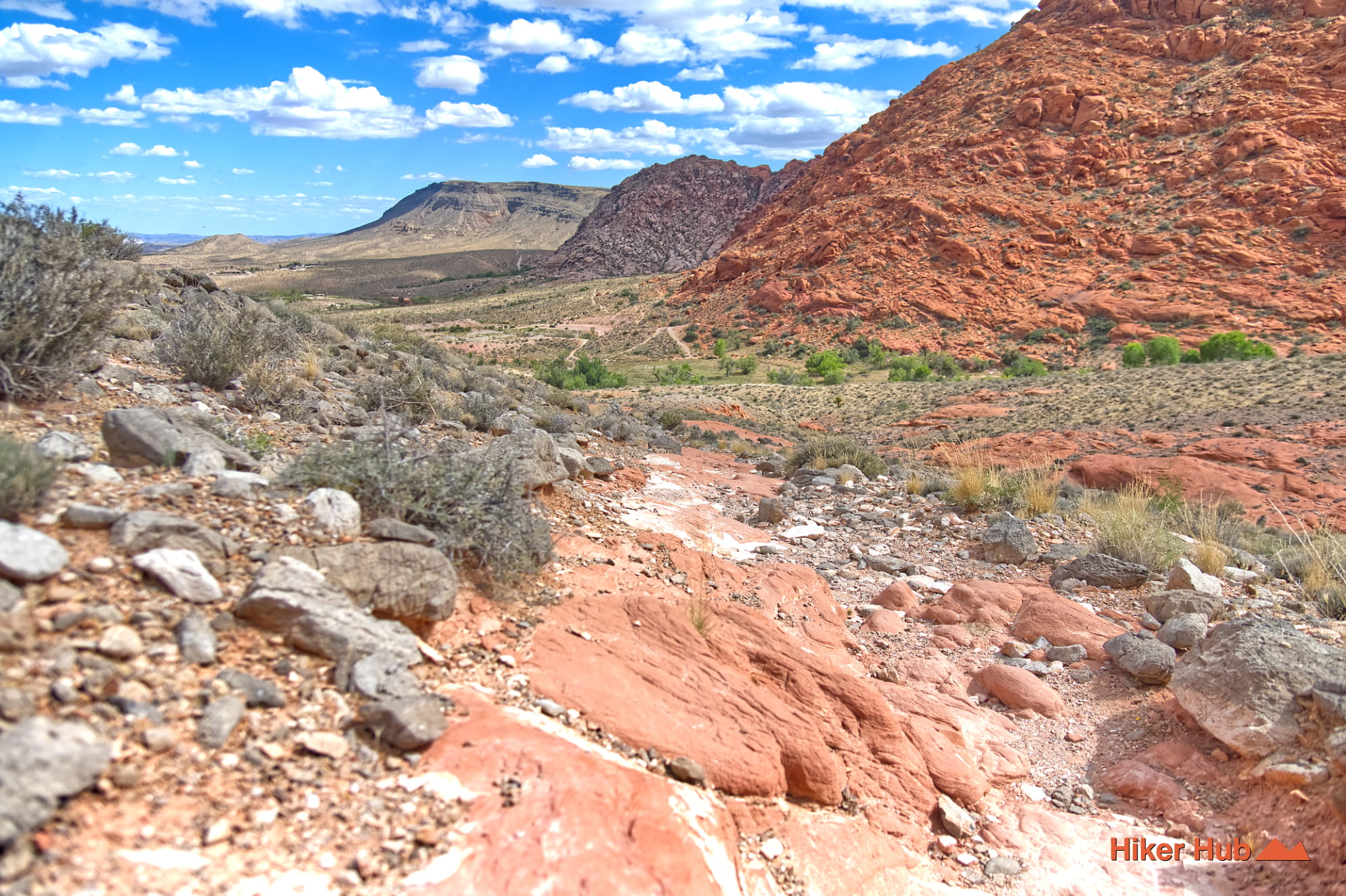
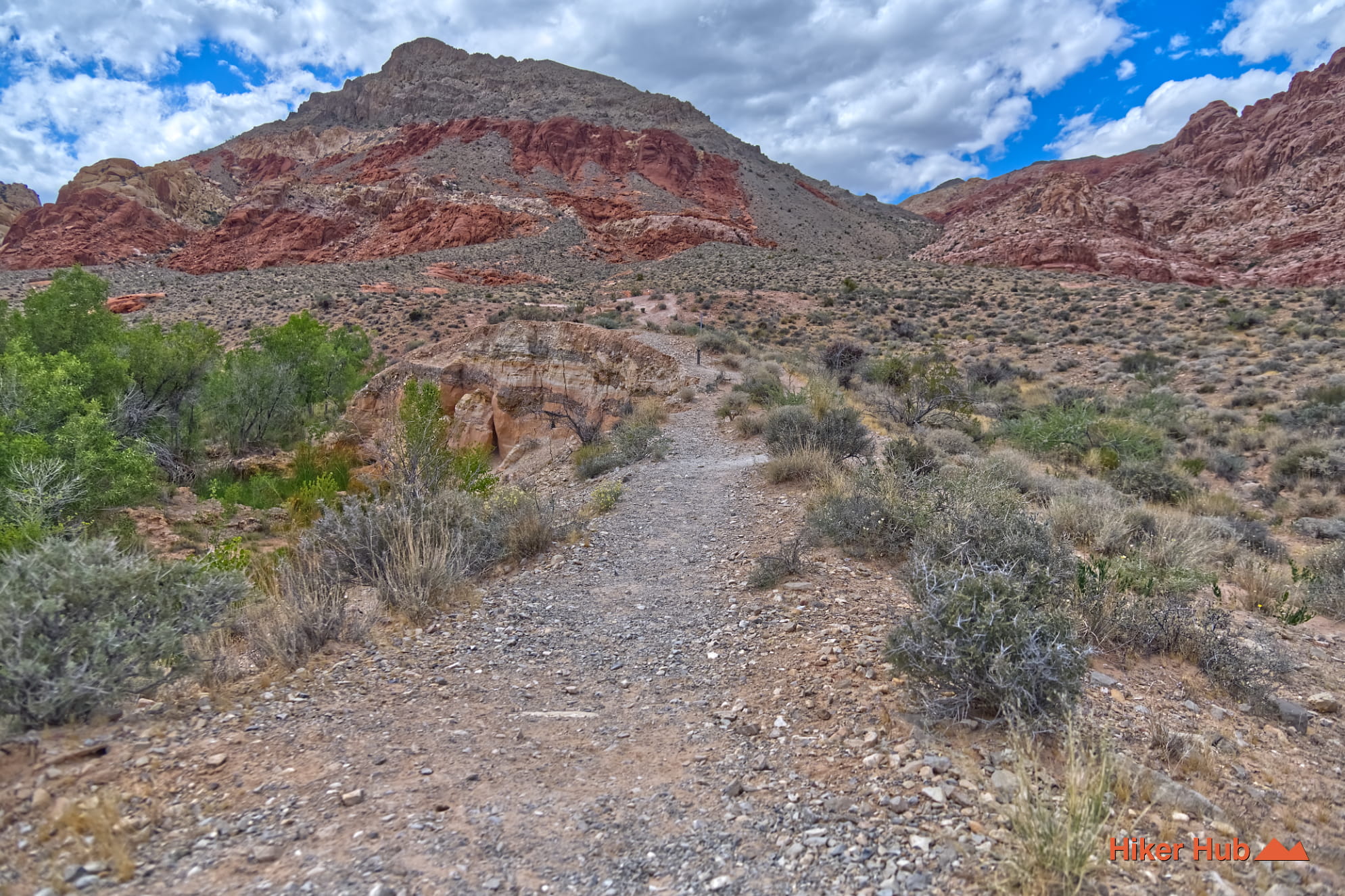
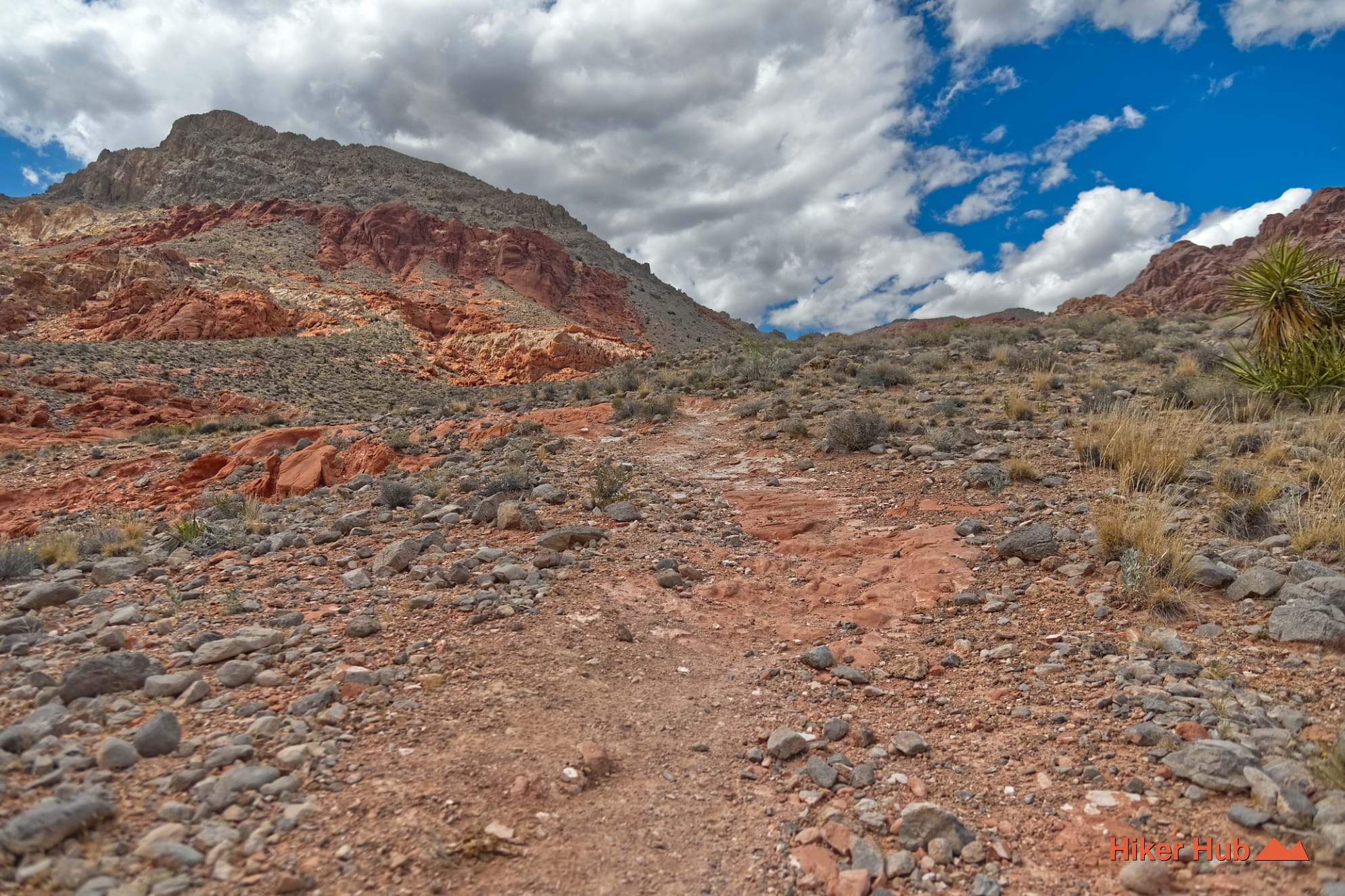
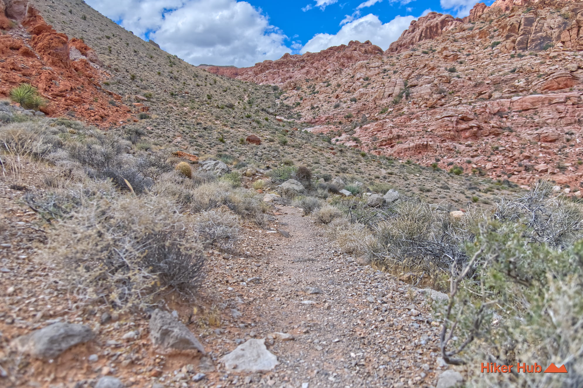
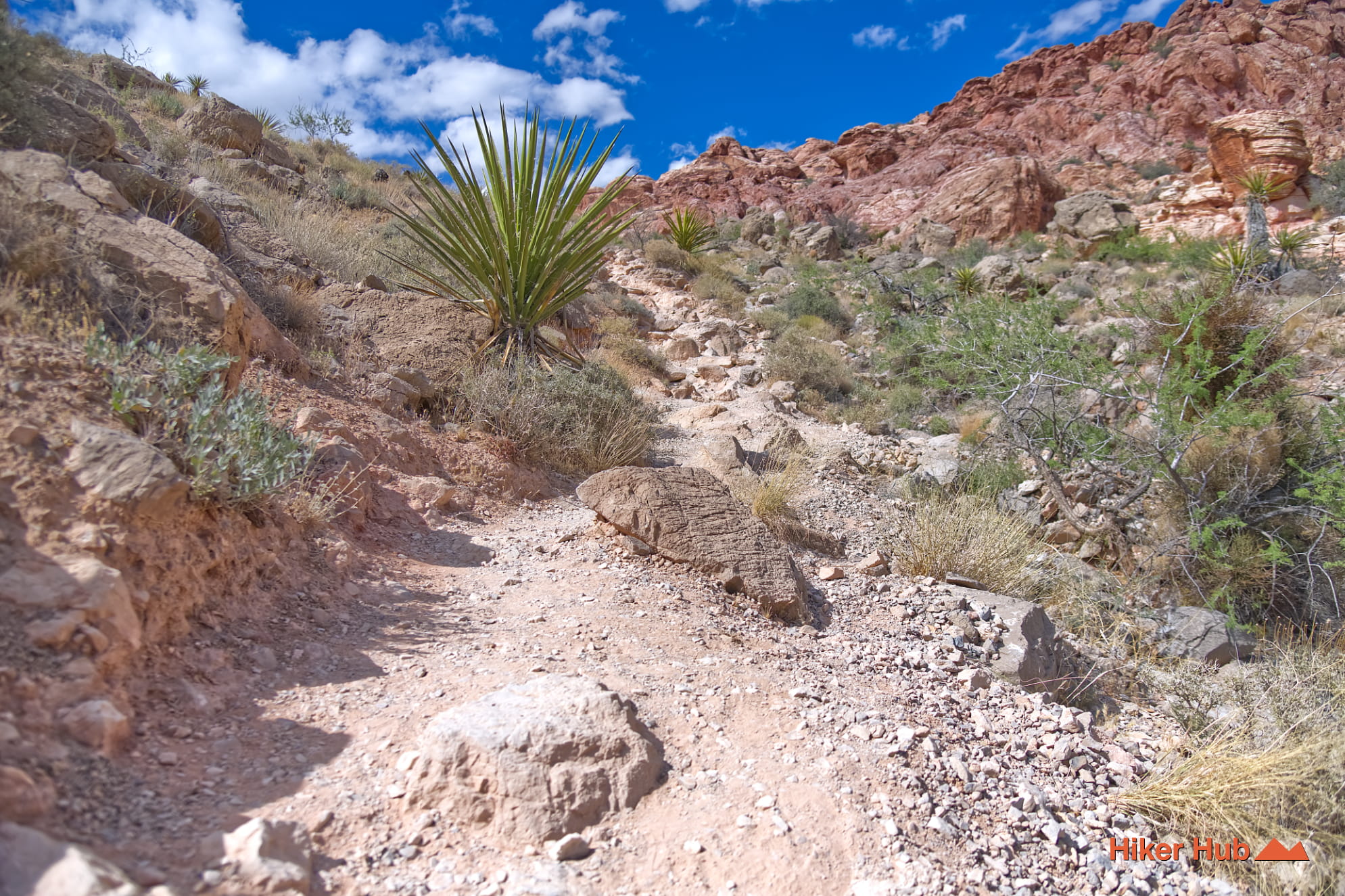
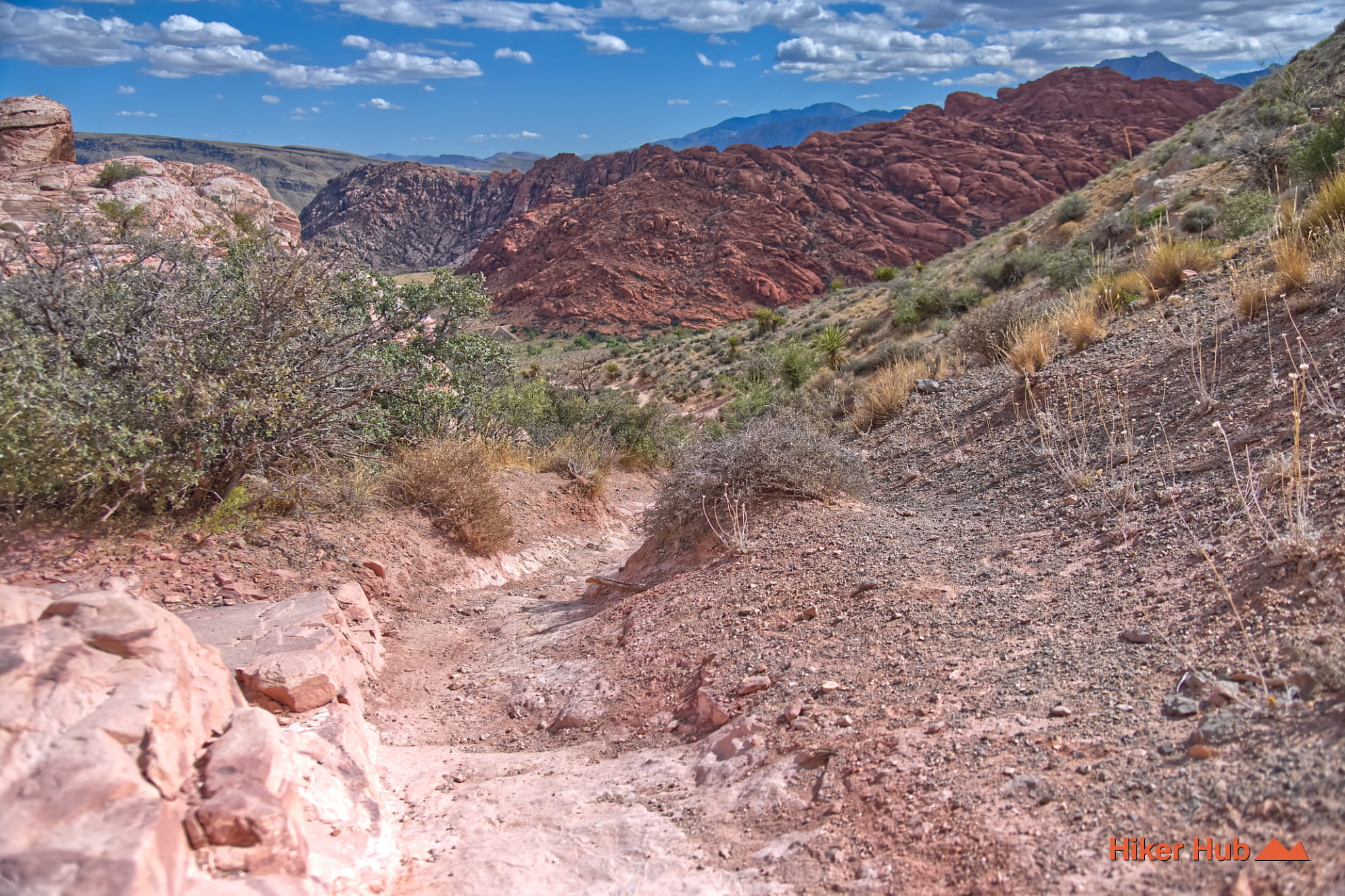
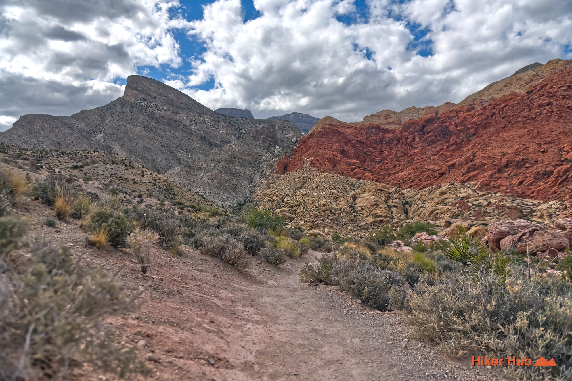
Hell Hill is an unmaintained trail in Red Rock Canyon with nebulous beginnings on both ends. Part of which serve, most commonly, as a portion of the Kraft Mountain loop. It's steep incline in certain areas are undoubtedly where the name is derived from. Also known as Pink Goblin Pass due to the massive, swirling pink and orange Aztec sandstone formation near the crest. The bumpy sandstone in this region personifies a mythical creature emerging from the rock.
Hell Hill, is a steep climb on the western edge of Kraft Mountain in Red Rock Canyon. Like many Red Rock hikes, this area is exposed. Temperatures can soar well over 100 degrees Fahrenheit so November to May is the best time—when it's cooler. The connector trail is frequently used among the Kraft Mountain Loop. Less commonly, it's a segment of the Calico Hills Loop. Additionally, it can be used to access Ash Spring or Upper Gateway Canyon. This primitive trail is unmarked and known to be difficult due to the incline and loose terrain. The area is known for rattlesnakes and scorpions, which often hide under rocks and in shrubs along the scramble lines. Which is the case in lots of areas in and around the park. Be careful where you step, and be cautious where you put your hands.
While the area is within the National Conservation Area, Hell Hill itself is often considered a "social trail" or a specific scramble line that is not an official, maintained BLM trail like the nearby Calico Tanks. It's a route taken by experienced hikers and scramblers to access the ridgelines between Kraft Mountain and the surrounding peaks. Moreover from, the Rattlesnake trail, it can even be difficult to locate where the trail begins. Regardless, it's the only accessible way to transition from one side of the mountain to the other.
The area is a product of a dramatic timeline of the Colorado Plateau and Basin and Range transitions. Of which, span several hundred million years. The landscape was created via ancient seas, massive sand dunes, and violent tectonic uplift that caused a monumental shift in rock layers.
The deepest layers in this region are largely comprised of limestone and dolostone. Dolostone is a sedimentary carbonate rock composed primarily of the mineral dolomite. While often referred to as dolomite rock, the term dolostone was introduced to distinguish the rock from the mineral itself.
This region was a shallow, warm tropical sea. Marine organisms and sediments accumulated on the sea floor, creating the gray limestone layers that underlie the red rocks.
Hell Hill may be far more challenging for some. Logged in users can view the trail intel, showing the actual incline.
Recommended gear
Gear picks are matched to this route using distance, difficulty, terrain, and desert conditions.
Disclosure: some links may be affiliate links. Red Rock Hiker Hub may earn a commission at no extra cost to you.
Water carry
Useful for exposed desert routes where one small bottle is not enough.
View hydration packsShade
Simple shade matters on open desert terrain, sandstone slabs, and long approaches.
View hiking hatsSun protection
A lightweight sun layer is one of the most useful pieces of gear for Red Rock exposure.
View sun hoodiesFooting
Better traction helps on loose gravel, sandstone, rocky washes, and steeper trails.
View trail shoesSkin protection
Small, easy to carry, and useful on nearly every Southern Nevada trail.
View SPF essentialsSafety
Worth carrying for cactus spines, scrapes, blisters, and minor trail injuries.
View first aid kits