Water carry
3L Hydration Pack
Useful for exposed desert routes where one small bottle is not enough.
View hydration packsRed Rock Canyon, Las Vegas
3.23 miles • Moderate • Trail
Conditions, access, and regulations can change. Always verify current information and assess safety before visiting.
Offline maps coming soon. Be first to access downloadable routes.
Some listings may be paid partnerships.
Know a useful stop near this trail? Suggest a business
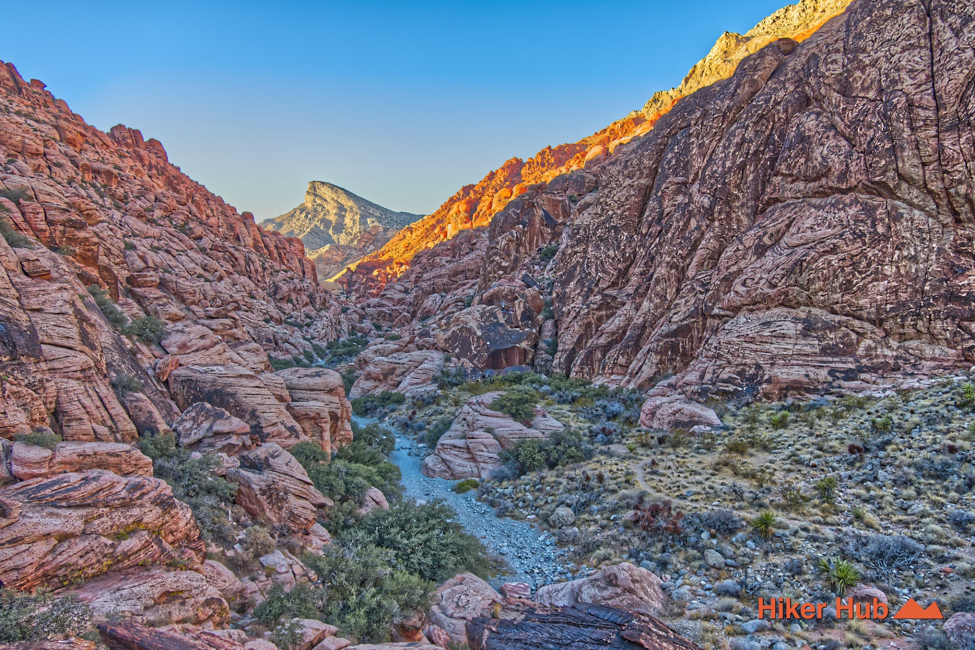
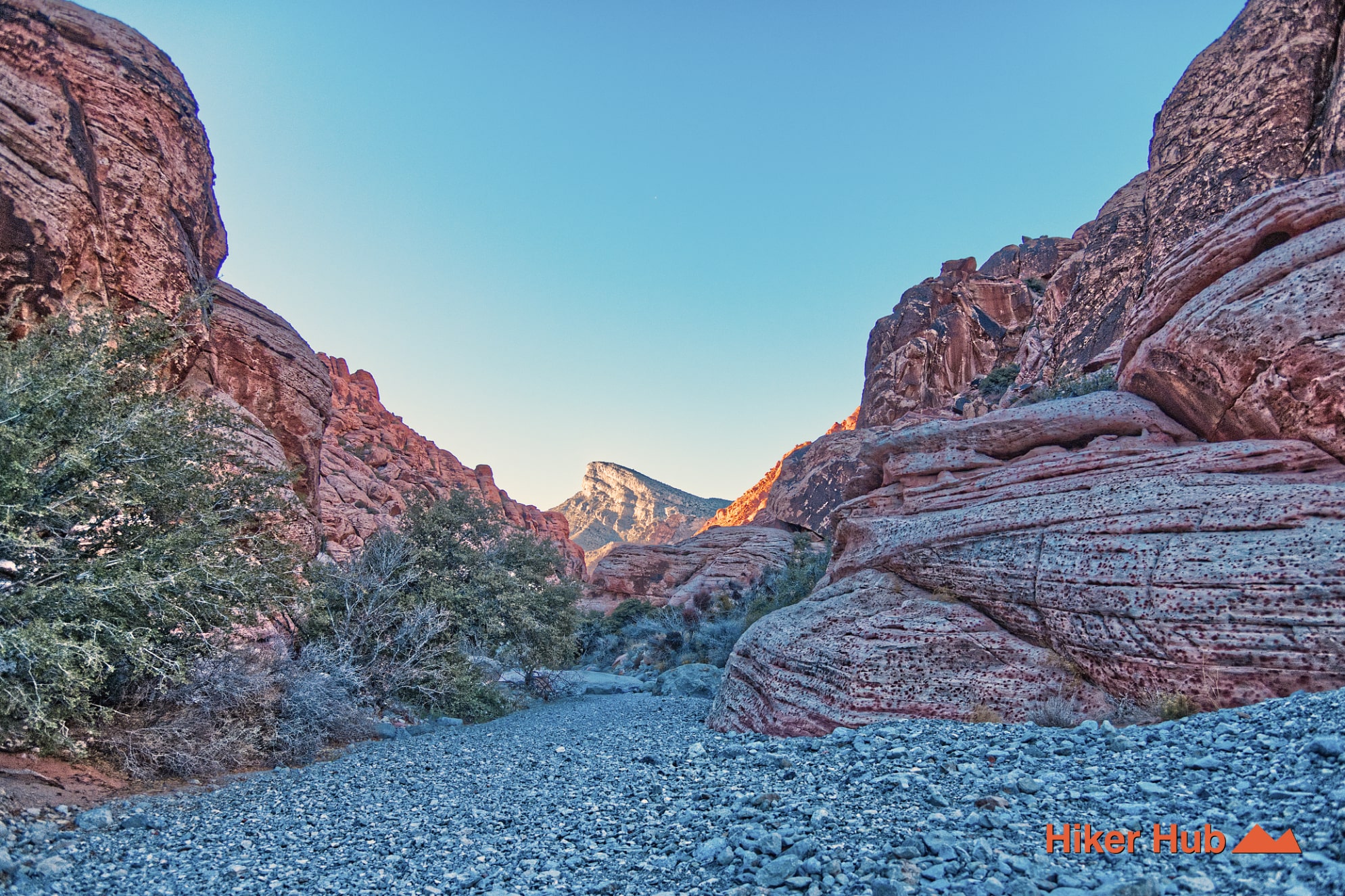
Kraft Mountain Loop is one of the signature challenges of Calico Basin—a rugged circuit that combines steep climbing, sandstone slabs, a high ridge, a boulder-filled wash, and frequent route-finding. The loop circles Kraft Mountain immediately west of the Calico Basin neighborhood and provides constantly changing scenery. One side looks across the Las Vegas Valley; the other enters a narrow corridor of Aztec Sandstone and enormous blocks. It's short enough to attract casual interest but technical enough that unprepared hikers are often surprised by the difficulty.
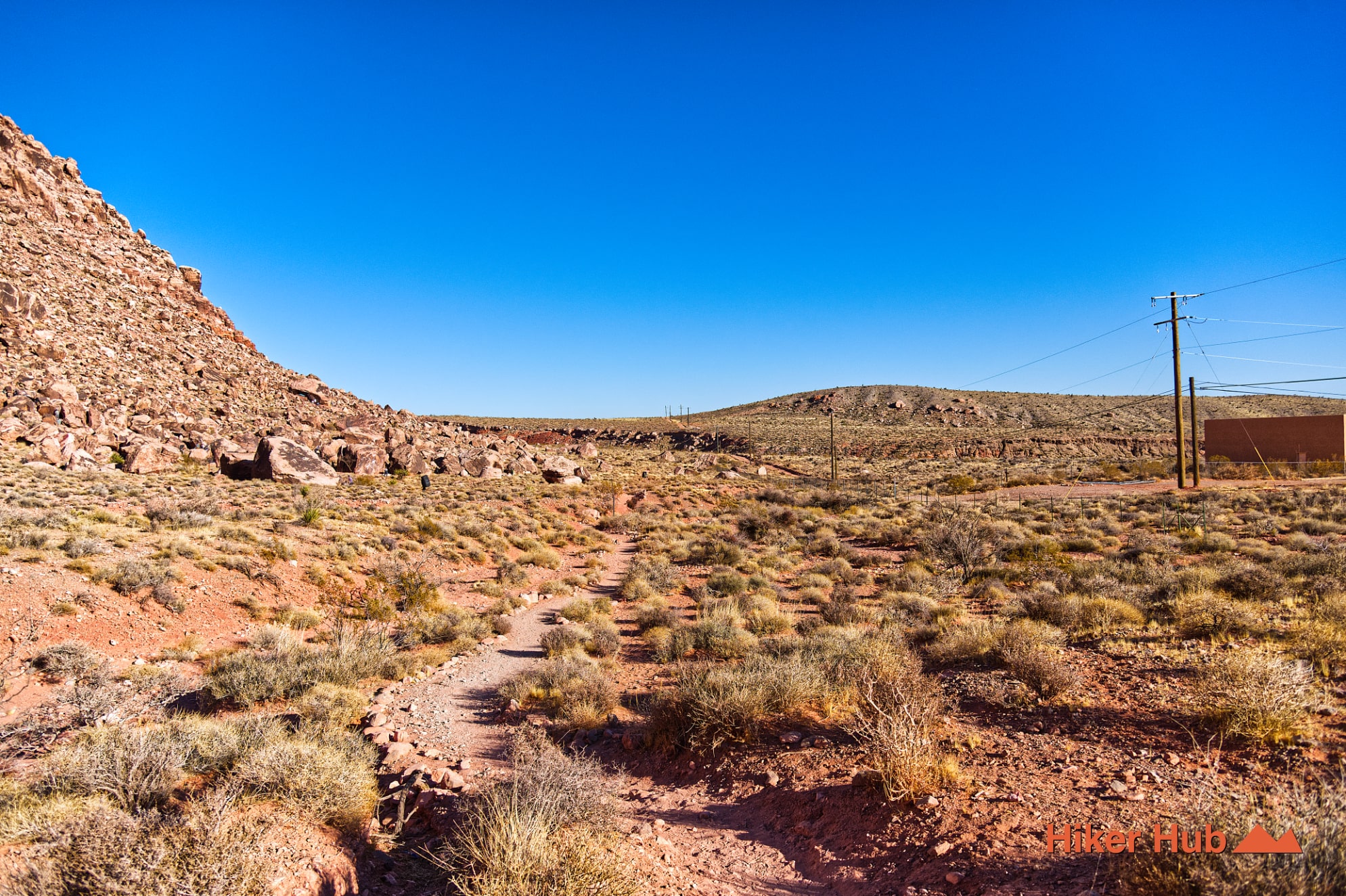
The route begins from the Kraft Mountain parking area reached through Calico Basin Road. This trailhead also serves Ash Spring, Girl Scout Trail, and several climbing routes. It's outside the Red Rock Canyon Scenic Loop and doesn't require a timed-entry reservation, which contributes to heavy use. The lot can fill very early on cool weekends, holidays, and prime climbing days.
Kraft is deeply connected to the climbing community. The mountain and nearby boulders contain numerous established climbing areas, and many side paths lead toward crags rather than around the hiking loop. Hikers should download the route in advance and avoid assuming that every well-worn path is the correct continuation.
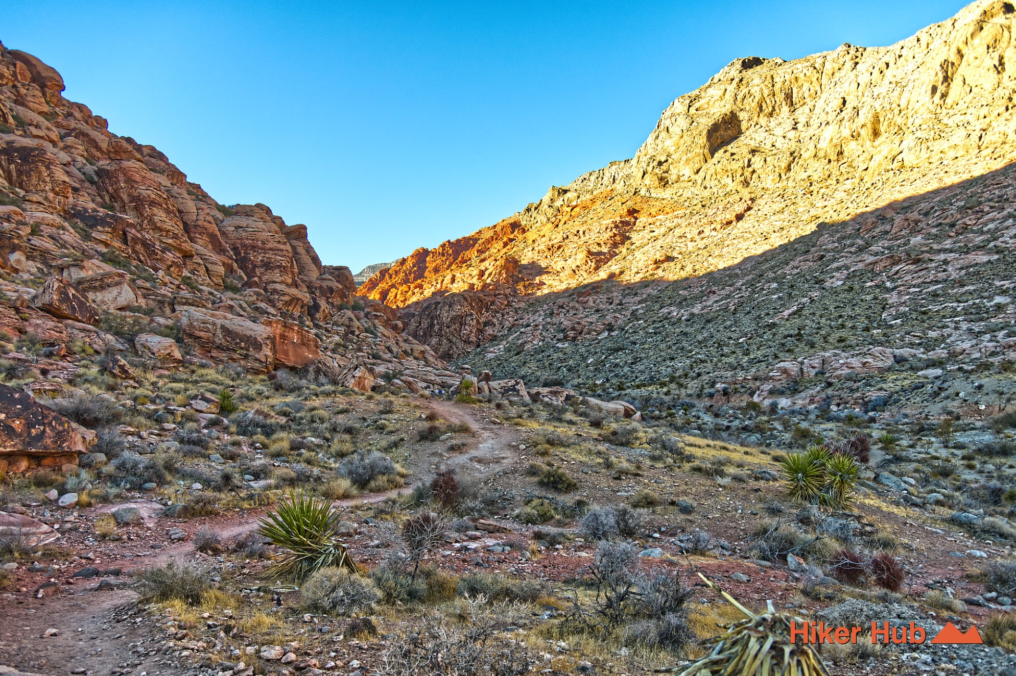
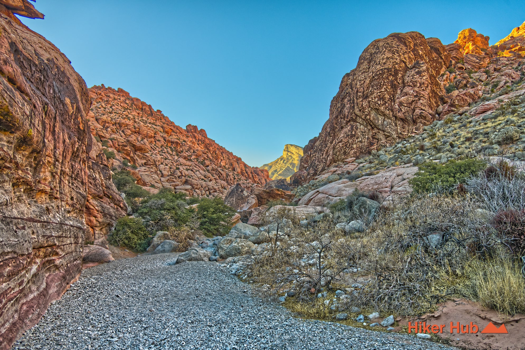
Kraft Mountain sits within the Calico Basin sandstone landscape. Jurassic Aztec Sandstone forms colorful walls, slabs, cracks, and boulders, while washes carry loose sediment and rock between them. The loop’s most memorable terrain is the narrow wash, where hikers climb over and around boulders rather than following a smooth tread. Short hands-on moves are common, and some people will find the route more comfortable in one direction than the other.
The sandstone offers excellent friction when dry, but loose sand on slabs can reduce traction. Wet sandstone is both slippery and more vulnerable to damage. Avoid the loop after substantial rain and never force a move that exceeds your scrambling ability. This Red Sandstone photo story shows the rock’s distinctive texture and color at a larger scale.
The ridge above the basin is the visual high point. Calico Basin spreads below, the Red Rock escarpment rises beyond the valley, and Las Vegas appears to the east. The route then changes character completely as it drops into the boulder corridor. That shift—from exposed panorama to enclosed rock passage—is why Kraft feels like a much larger mountain adventure than its mileage suggests. Hikers can preview the general style of the area in Is This the Best Hiking Trail in Las Vegas?.
Kraft Mountain Loop is best for experienced hikers, confident scramblers, climbers exploring the basin, and visitors who want a physical route without committing to a long summit. It's not ideal for first-time hikers, young children, dogs that cannot be lifted over boulders, or anyone uncomfortable using hands on rock. Proper hiking shoes, gloves for some hikers, and a conservative pace improve safety.
November through April offers the best temperatures, with October and May workable during cool mornings. Summer heat is severe, and the boulder wash can trap warmth even when portions of the route are shaded. Start early to find parking and reduce encounters in narrow sections. The loop remains popular throughout the cool season, but traffic spreads out after the trailhead. For a less technical alternative nearby, use Calico Basin Trail, Girl Scout Trail, or Calico Overlook.
Recommended gear
Gear picks are matched to this route using distance, difficulty, terrain, and desert conditions.
Disclosure: some links may be affiliate links. Red Rock Hiker Hub may earn a commission at no extra cost to you.
Water carry
Useful for exposed desert routes where one small bottle is not enough.
View hydration packsShade
Simple shade matters on open desert terrain, sandstone slabs, and long approaches.
View hiking hatsSun protection
A lightweight sun layer is one of the most useful pieces of gear for Red Rock exposure.
View sun hoodiesSkin protection
Small, easy to carry, and useful on nearly every Southern Nevada trail.
View SPF essentialsFooting
Better traction helps on loose gravel, sandstone, rocky washes, and steeper trails.
View trail shoesHeat support
Helpful on hot days, longer hikes, and steep routes where plain water may not be enough.
View electrolytes