Water carry
3L Hydration Pack
Useful for exposed desert routes where one small bottle is not enough.
View hydration packsRed Rock Canyon, Las Vegas
1.58 miles • Easy • Trail
Conditions, access, and regulations can change. Always verify current information and assess safety before visiting.
Offline maps coming soon. Be first to access downloadable routes.
Some listings may be paid partnerships.
Know a useful stop near this trail? Suggest a business
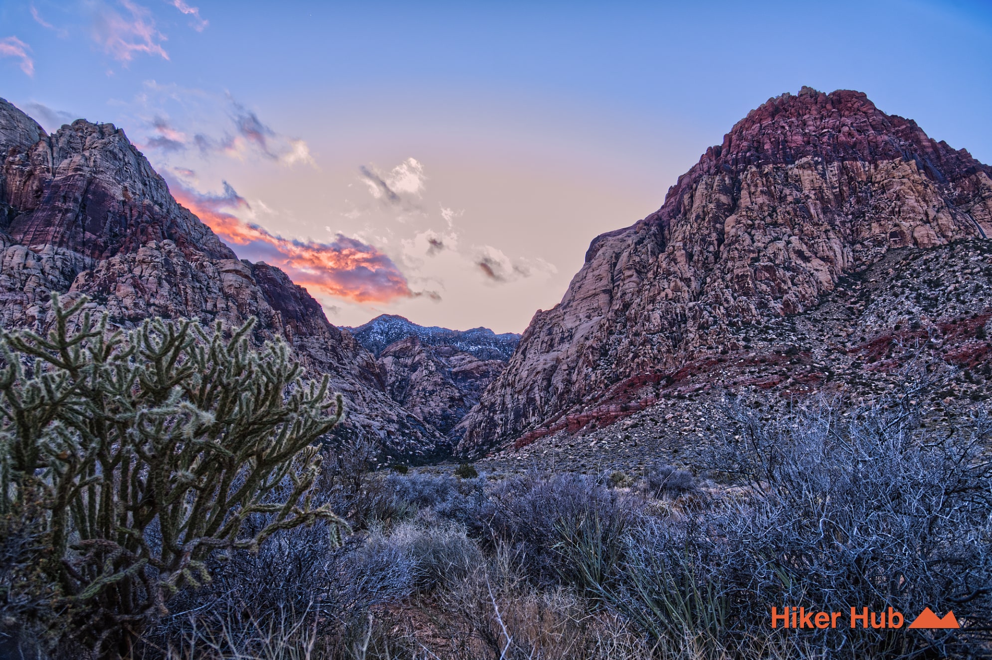
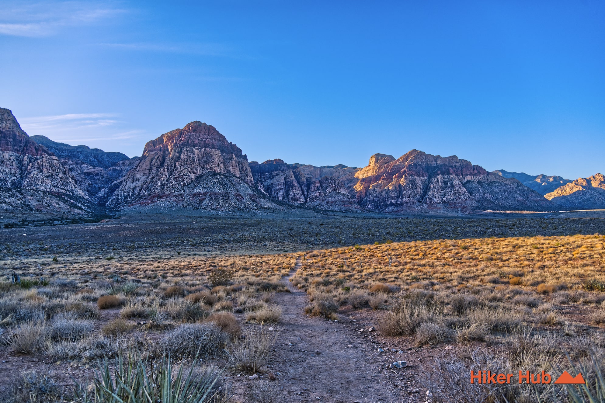
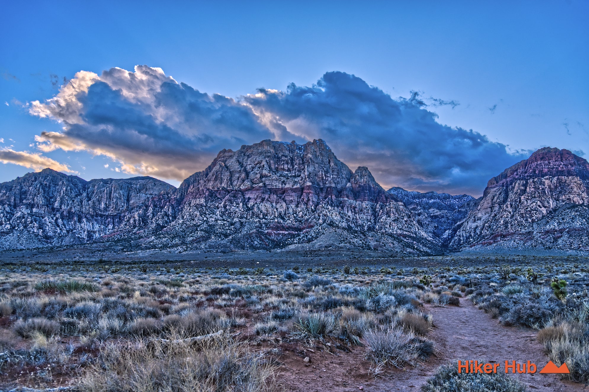
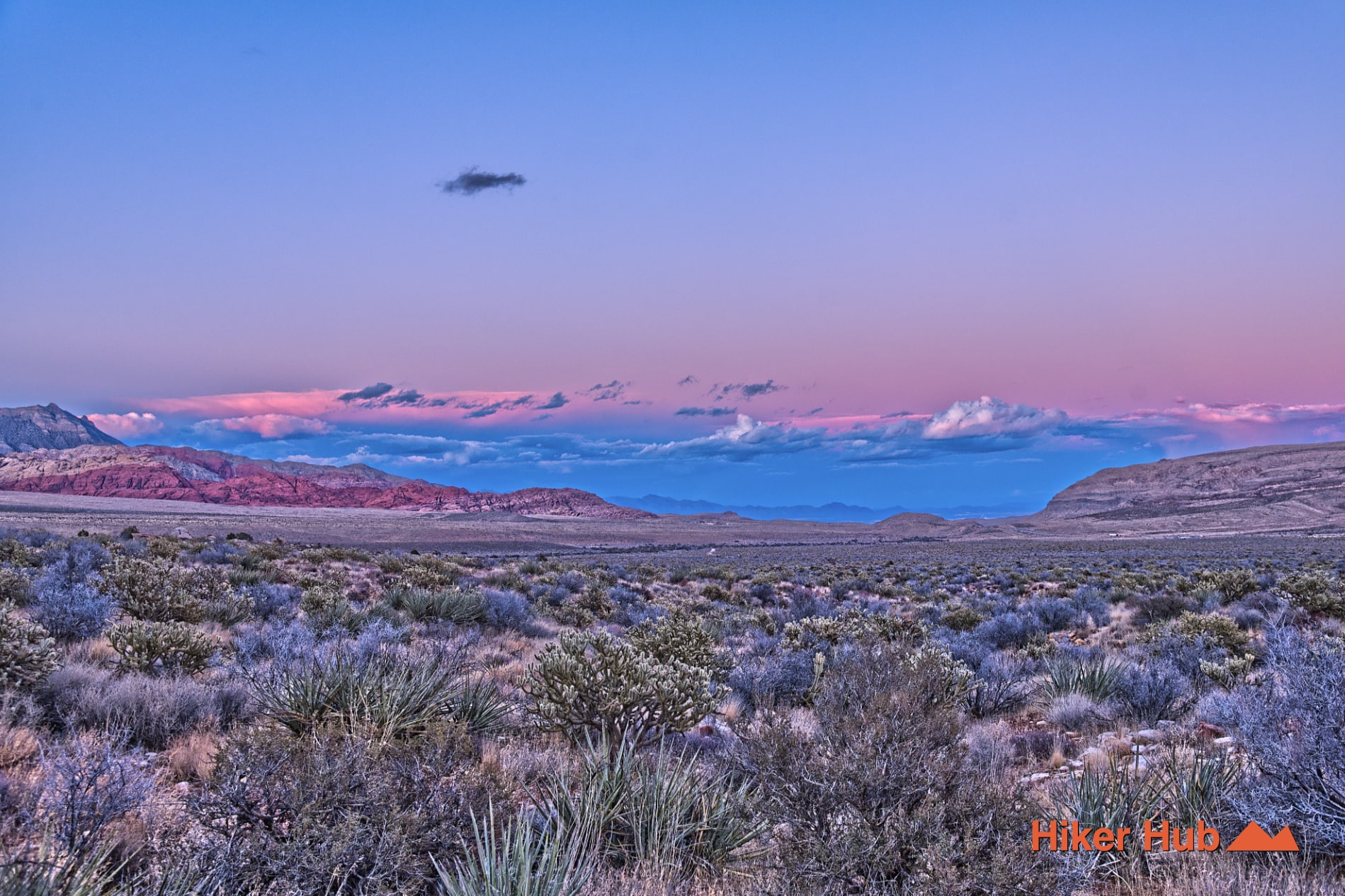
Middle Oak Creek is a quiet trail across the alluvial fans below the Red Rock escarpment. It begins between the Lower Red Rock and South Oak Creek access areas and travels west toward the mouth of Oak Creek Canyon. From the road, the route can look like a simple straight path across open Nevada desert. On foot, it repeatedly dips through washes, rises over low ridges, passes through changing vegetation, and gradually closes the distance to enormous sandstone walls. The subtle terrain and low traffic make it one of the best Oak Creek routes for solitude and introspection.
The trail occupies the southern side of Red Rock Canyon National Conservation Area, between South Oak Creek Trail and the broader Oak Creek Trail network. First Creek Canyon lies farther south. These routes all move toward the same escarpment but reach different washes, canyon mouths, and viewpoints.
Middle Oak Creek begins as a wide old-road corridor and narrows as it approaches the mountains. The official Red Rock visitor guide notes that the route passes through a fire scar from 2007 before joining Oak Creek. That modern disturbance is part of the trail’s story: desert vegetation recovers slowly, and the contrast between burned, regrowing, and undisturbed areas remains visible years later.
The apparent “flat” ground below the escarpment is an alluvial fan built from sediment carried out of Oak Creek Canyon and neighboring drainages. Repeated floods spread gravel, sand, and larger rock across the valley, producing shallow channels and rolling contours. The western skyline is Jurassic Aztec Sandstone, while transported limestone and other rock also appear underfoot. As the canyon mouth grows larger, the trail surface becomes rockier and vegetation thickens around drainage lines.
The changing scale is the route’s high point. At the beginning, the mountains feel distant. Near the end, walls and buttresses fill the view, and the Las Vegas Valley disappears behind the hiker. The Towering Mountains in Pine Creek Canyon video shows a similar escarpment approach nearby.
Middle Oak Creek is known for wildlife sightings because it receives less concentrated traffic than many Scenic Loop destinations. Burros, mule deer, coyotes, reptiles, and birds may cross the open fans or use denser cover near the canyon. The Burros in the Wild photo story explains why these animals need space even when they appear calm.
Keep dogs leashed or under immediate control. A dog chasing a burro or deer can injure itself, stress wildlife, and create a dangerous confrontation. Coyotes are also part of the ecosystem; avoid leaving food, do not allow pets to roam into brush, and keep small animals close. This is a better trail for controlled walking than off-leash experimentation.
Middle Oak Creek is ideal for hikers seeking a lesser-traveled alternative, photographers who want an unobstructed view of the escarpment, dog owners willing to use a leash, trail runners, and visitors interested in gradual landscape change rather than one dramatic attraction. It's less technical than Ice Box Canyon or Kraft Mountain, but the distance, rocky finish, and many small washes still require proper hiking shoes.
November through April provides the best temperatures. Spring can bring wildflowers and more wildlife activity, while winter offers clear views and long shadows. There's little dependable shade until the route nears the canyon, so summer is not appropriate outside of rare cool mornings. Middle Oak is generally much quieter than Calico Tanks, Ice Box Canyon, or Lost Creek. Most traffic appears near shared access points or where the trail joins Oak Creek, leaving the middle portion well suited to solitude.
Recommended gear
Gear picks are matched to this route using distance, difficulty, terrain, and desert conditions.
Disclosure: some links may be affiliate links. Red Rock Hiker Hub may earn a commission at no extra cost to you.
Water carry
Useful for exposed desert routes where one small bottle is not enough.
View hydration packsShade
Simple shade matters on open desert terrain, sandstone slabs, and long approaches.
View hiking hatsSun protection
A lightweight sun layer is one of the most useful pieces of gear for Red Rock exposure.
View sun hoodiesSkin protection
Small, easy to carry, and useful on nearly every Southern Nevada trail.
View SPF essentialsFooting
Better traction helps on loose gravel, sandstone, rocky washes, and steeper trails.
View trail shoesHeat support
Helpful on hot days, longer hikes, and steep routes where plain water may not be enough.
View electrolytes