Water carry
3L Hydration Pack
Useful for exposed desert routes where one small bottle is not enough.
View hydration packsRed Rock Canyon, Las Vegas
.83 miles • Easy • Trail
Conditions, access, and regulations can change. Always verify current information and assess safety before visiting.
Offline maps coming soon. Be first to access downloadable routes.
Some listings may be paid partnerships.
Know a useful stop near this trail? Suggest a business
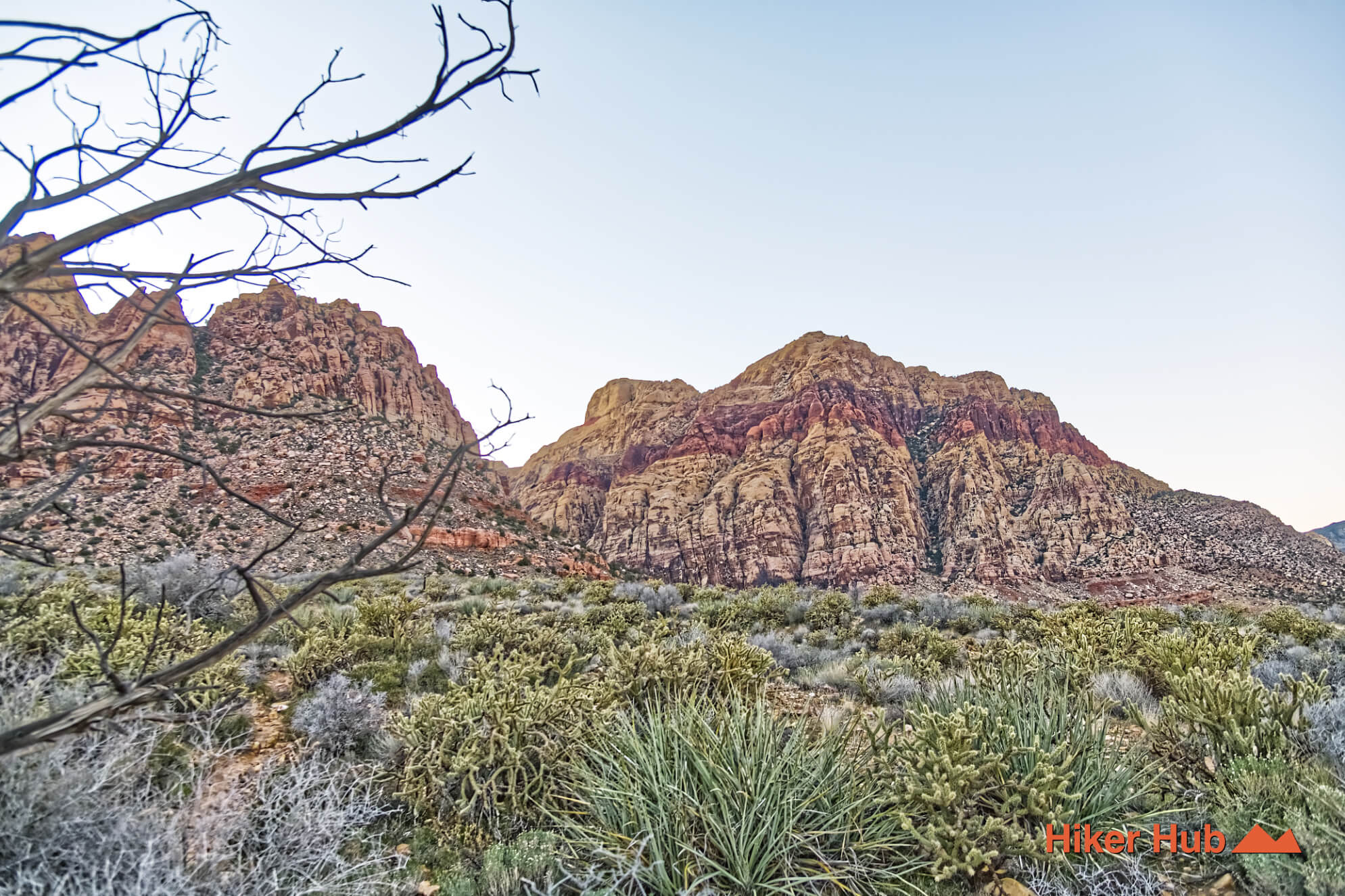
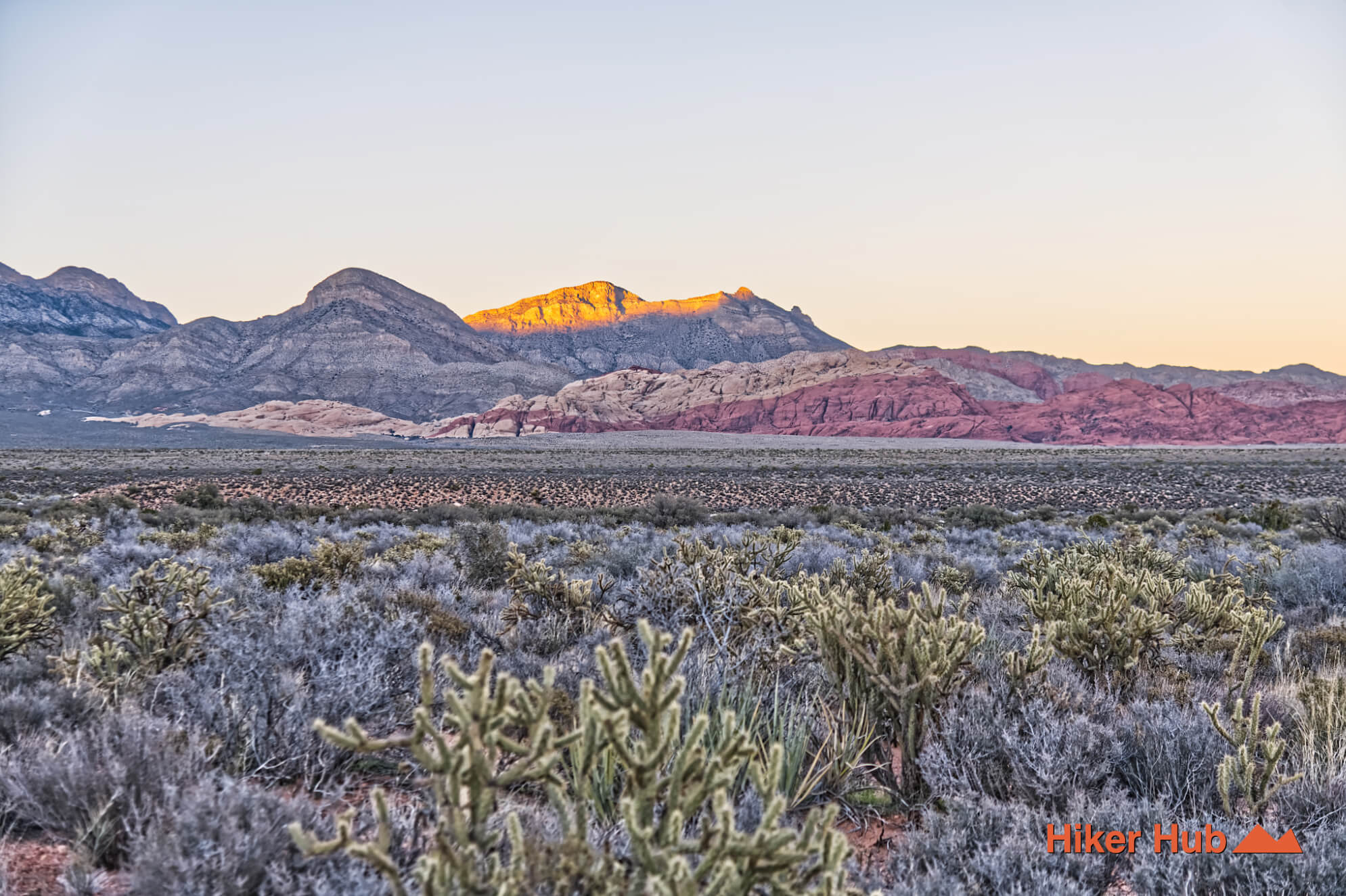
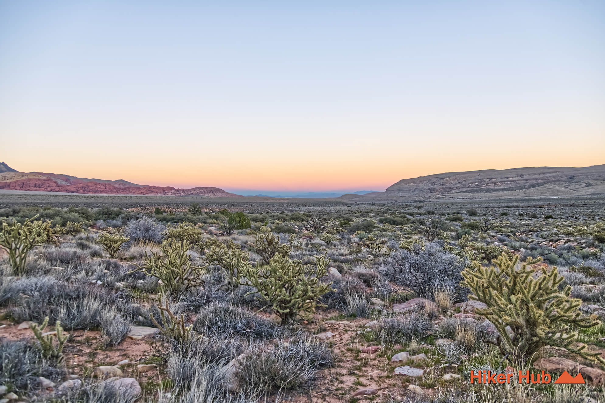
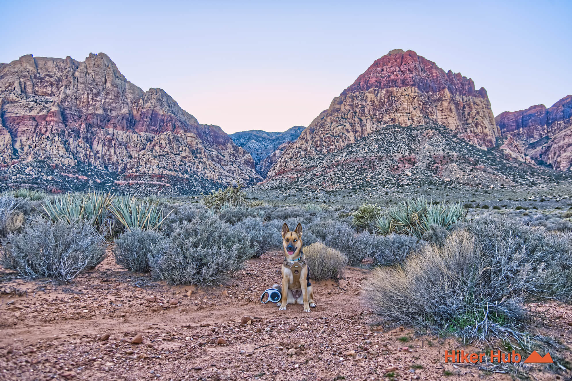
Oak Creek Canyon Trail is the official, straightforward route from the Oak Creek parking area on the Red Rock Canyon Scenic Loop toward the mouth of Oak Creek Canyon. The name can be confusing because maps also show Middle Oak Creek, South Oak Creek, Knoll, and several informal paths in the same broad area. The main Oak Creek trail is the easiest introduction: an open desert route with sweeping views of the Wilson Cliffs, access to a wildlife-rich canyon system, and multiple options for building longer loops.
From the small Scenic Loop parking area, the recognized trail heads west across the alluvial plain toward Oak Creek Canyon. The route is generally easy to follow and does not require the scrambling found deeper inside some Red Rock canyons. Hikers can enjoy it as a simple out-and-back or use it as the base of a larger circuit with Arnight Trail, Middle Oak Creek, or the quieter lower-desert paths around Burro Country Loop.
The abundance of nearby paths is useful but can also create confusion. Modern social trails are not automatically historic routes, and satellite imagery does not show whether a path is sustainable, legal, or protected. Stay on established trails and use official route information as the foundation for any custom loop.
Oak Creek crosses a broad alluvial fan built from sand, gravel, and rock carried out of the Spring Mountains by repeated runoff. The terrain appears flat, yet shallow rises and washes create constant small changes in elevation. Ahead, the Jurassic Aztec Sandstone of the Wilson Cliffs forms a massive wall, while older limestone peaks rise behind it. This contrast is one reason the Oak Creek region is so useful for understanding Red Rock Canyon geology.
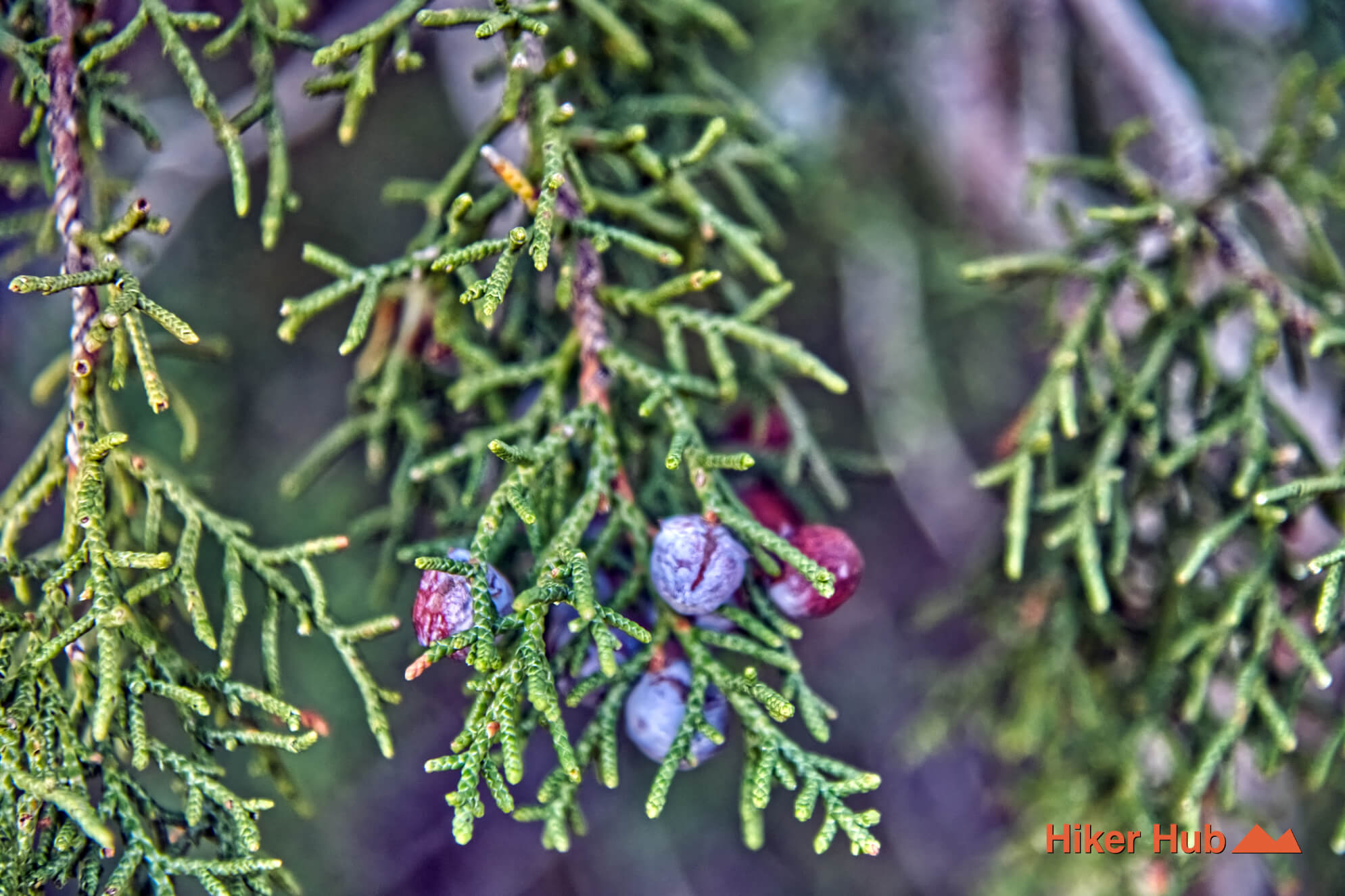
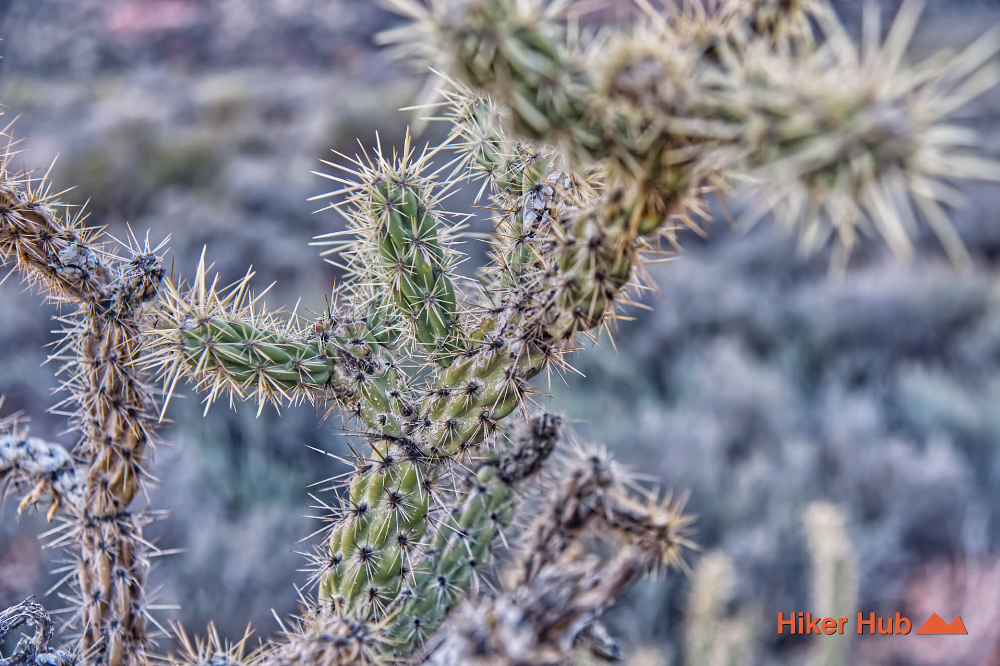
Water is equally important. Oak Creek can carry seasonal flow, and the larger canyon system contains springs, shaded pockets, and vegetation that remain greener than the surrounding Mojave Desert. Cottonwood, willow, juniper, and dense shrubs provide habitat for birds and mammals. This short Oak Creek field video offers a quick look at the terrain and vegetation.
Mule deer, coyotes, burros, birds, rabbits, and occasionally bighorn sheep move through the broader Oak Creek landscape. Dawn and dusk are productive periods because animals use cooler washes and water corridors. The rolling ground can hide a large animal until a hiker is surprisingly close.
Keep dogs leashed or under immediate control. Burros may defend themselves, deer can bolt into rough terrain, and coyotes can draw a pursuing dog away from its owner. This short dog-and-horses encounter demonstrates how unfamiliar large animals can excite a pet. This Burros in the Wild photo story provides additional context for observing from a respectful distance.
Dependable water made Red Rock Canyon important to Indigenous hunters and gatherers for thousands of years. Springs and tanks supported plant gathering, wildlife, travel, and seasonal occupation. The Oak Creek drainage belongs to that larger cultural landscape, but hikers should not assume that every current footpath follows an ancient route. If cultural material appears, leave it in place and avoid sharing precise locations.
October through May is the strongest season. Spring can bring water and flowers, winter adds dramatic light, and early autumn evenings can be excellent. Summer exposure is dangerous even though the canyon ahead looks cool. Carry water and wear hiking shoes suited to rocky washes if continuing beyond the easy trail.
Oak Creek is usually less crowded than Calico Tanks, Ice Box Canyon, or the trailheads near the Red Rock Canyon Visitor Center. The small parking area can fill, but users disperse among several routes. Families and beginners can enjoy the main trail, while experienced hikers can build more complex Red Rock Canyon hikes. It's one of the best places for nature, desert wildlife, and quiet desert hiking without leaving the maintained park system.
Recommended gear
Gear picks are matched to this route using distance, difficulty, terrain, and desert conditions.
Disclosure: some links may be affiliate links. Red Rock Hiker Hub may earn a commission at no extra cost to you.
Water carry
Useful for exposed desert routes where one small bottle is not enough.
View hydration packsShade
Simple shade matters on open desert terrain, sandstone slabs, and long approaches.
View hiking hatsSun protection
A lightweight sun layer is one of the most useful pieces of gear for Red Rock exposure.
View sun hoodiesSkin protection
Small, easy to carry, and useful on nearly every Southern Nevada trail.
View SPF essentialsFooting
Better traction helps on loose gravel, sandstone, rocky washes, and steeper trails.
View trail shoesHeat support
Helpful on hot days, longer hikes, and steep routes where plain water may not be enough.
View electrolytes