Water carry
3L Hydration Pack
Useful for exposed desert routes where one small bottle is not enough.
View hydration packsRed Rock Canyon, Las Vegas
1.09 miles • Easy • Trail
Conditions, access, and regulations can change. Always verify current information and assess safety before visiting.
Offline maps coming soon. Be first to access downloadable routes.
Some listings may be paid partnerships.
Know a useful stop near this trail? Suggest a business
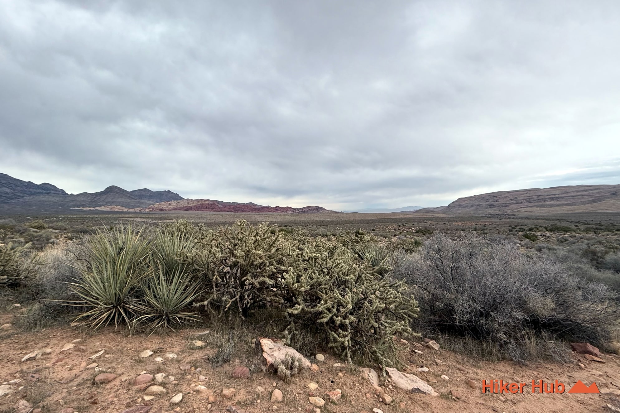
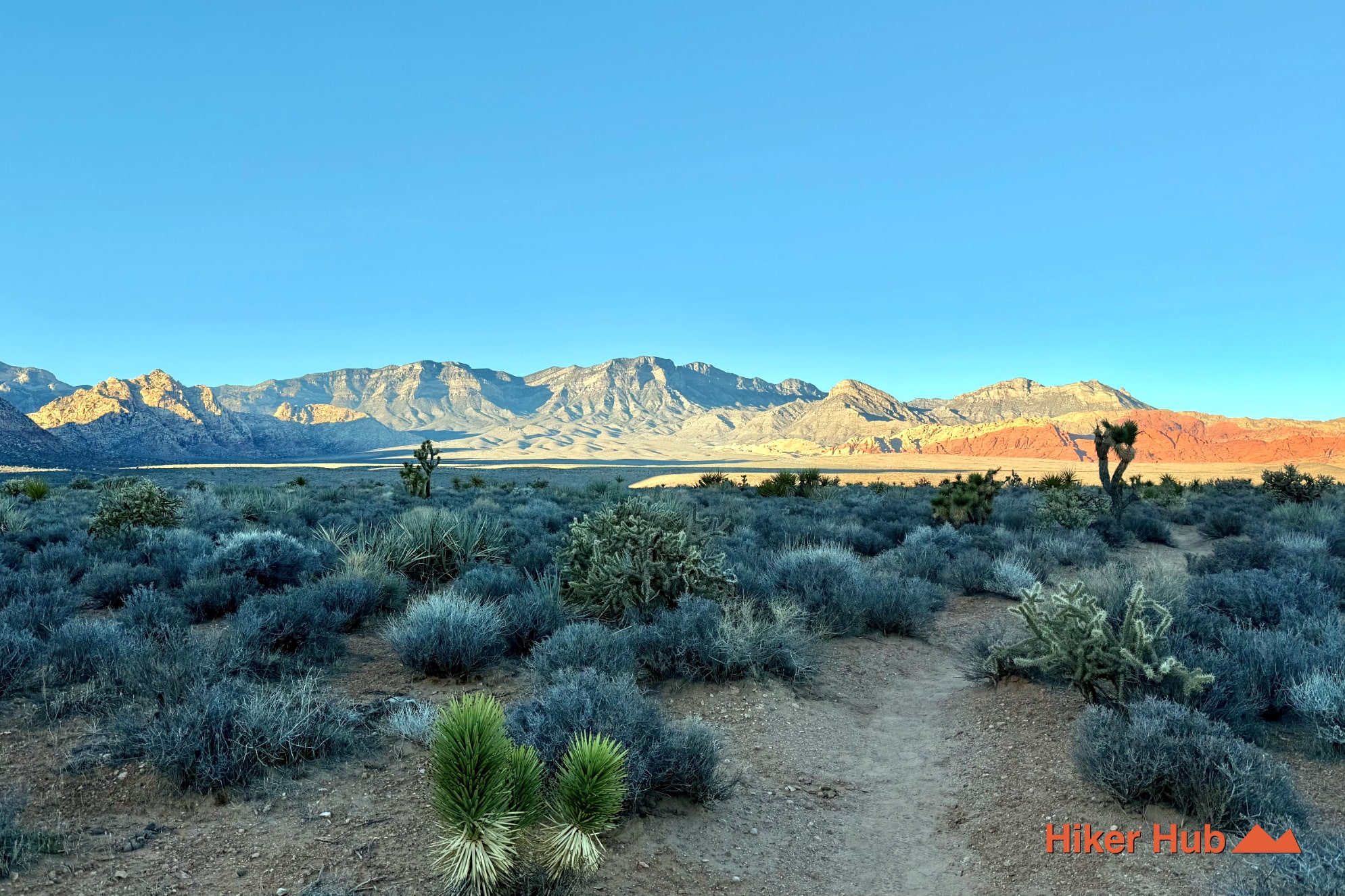
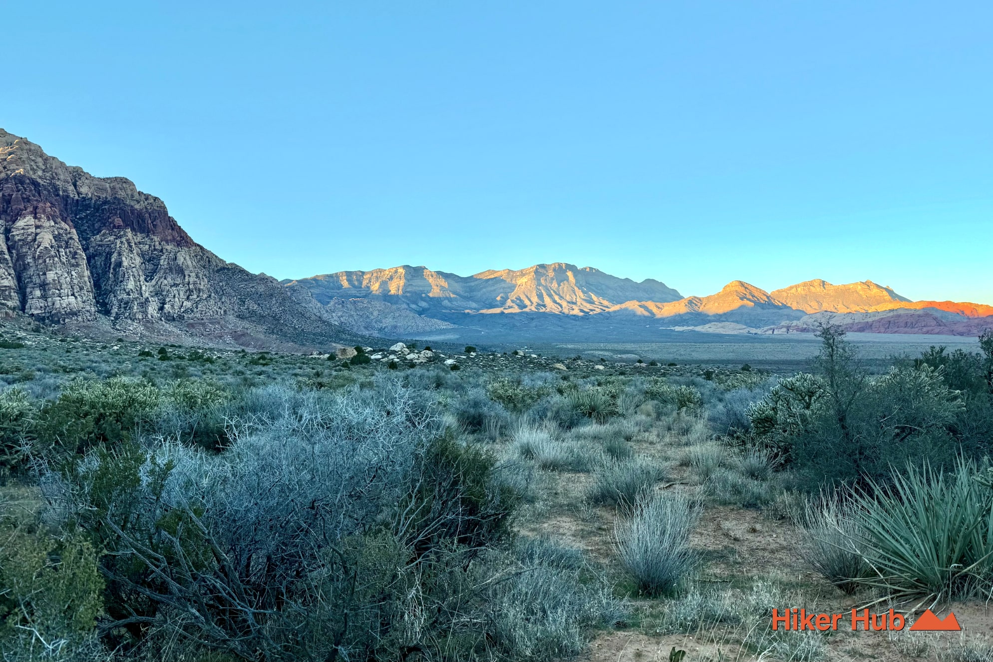
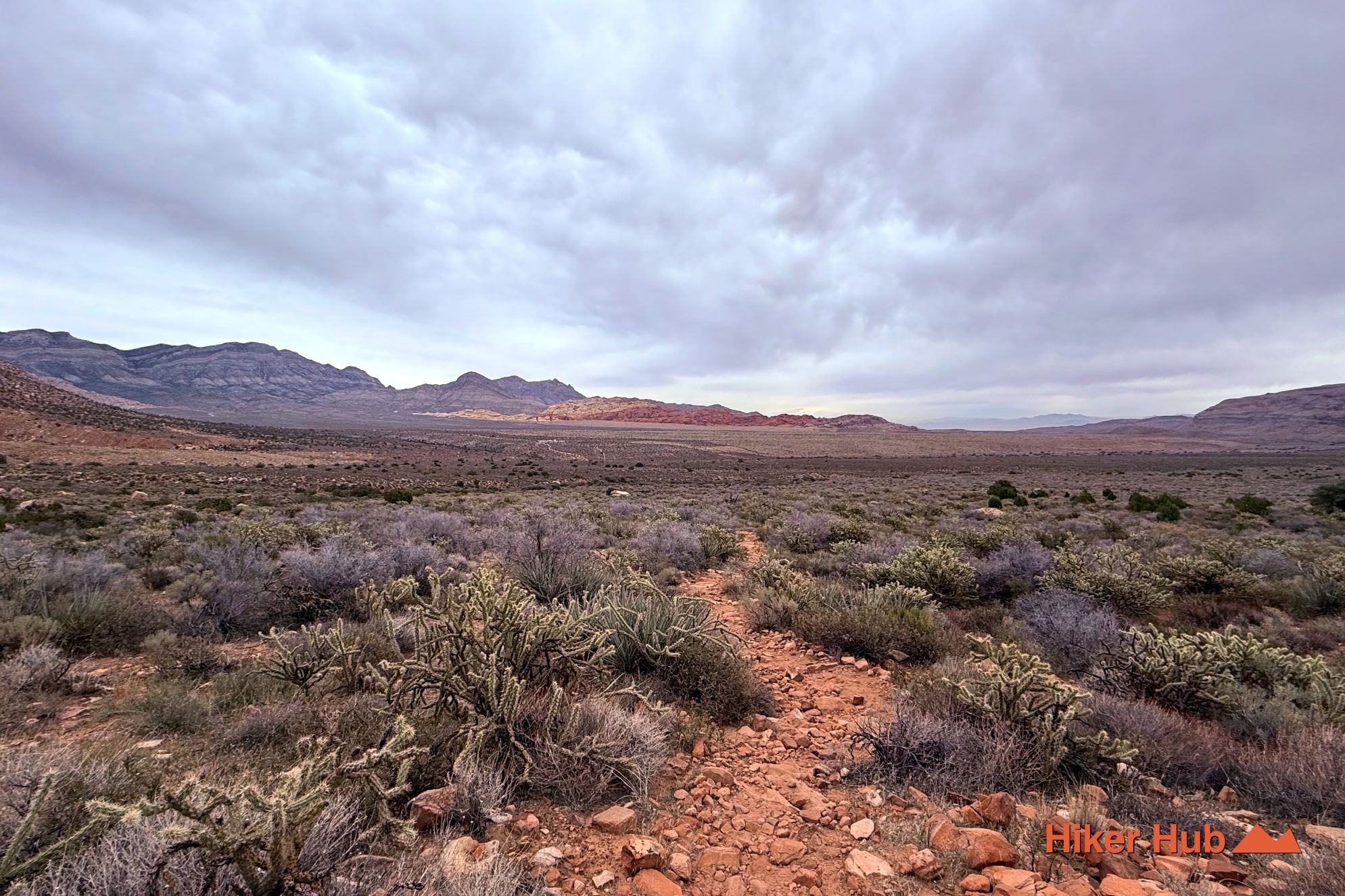
Arnight Trail is the quiet connective tissue of the Oak Creek and Pine Creek trail system on the southern half of the Red Rock Canyon Scenic Loop. It begins across from the Oak Creek Canyon trailhead and angles toward the escarpment, gradually leaving the open parking area behind for rolling desert, shallow washes, and close views of Mount Wilson and Rainbow Mountain. The route is valuable as a standalone moderate hike, but its real strength is the way it joins Oak Creek Trail, the Knoll corridor, and Pine Creek Canyon into longer loops.
Arnight sits inside Red Rock Canyon National Conservation Area west of Las Vegas, far enough down the one-way drive that it feels removed from the busier Calico stops and the Red Rock Canyon Visitor Center. From the Oak Creek parking area, the path gains elevation gently as it crosses the alluvial fan below the Wilson Cliffs. The official route continues toward Pine Creek, while a junction with the Knoll Trail creates the familiar Oak Creek–Knoll–Arnight loop. Hikers who want even more distance can connect through Middle Oak Creek and the broader network south of the escarpment.
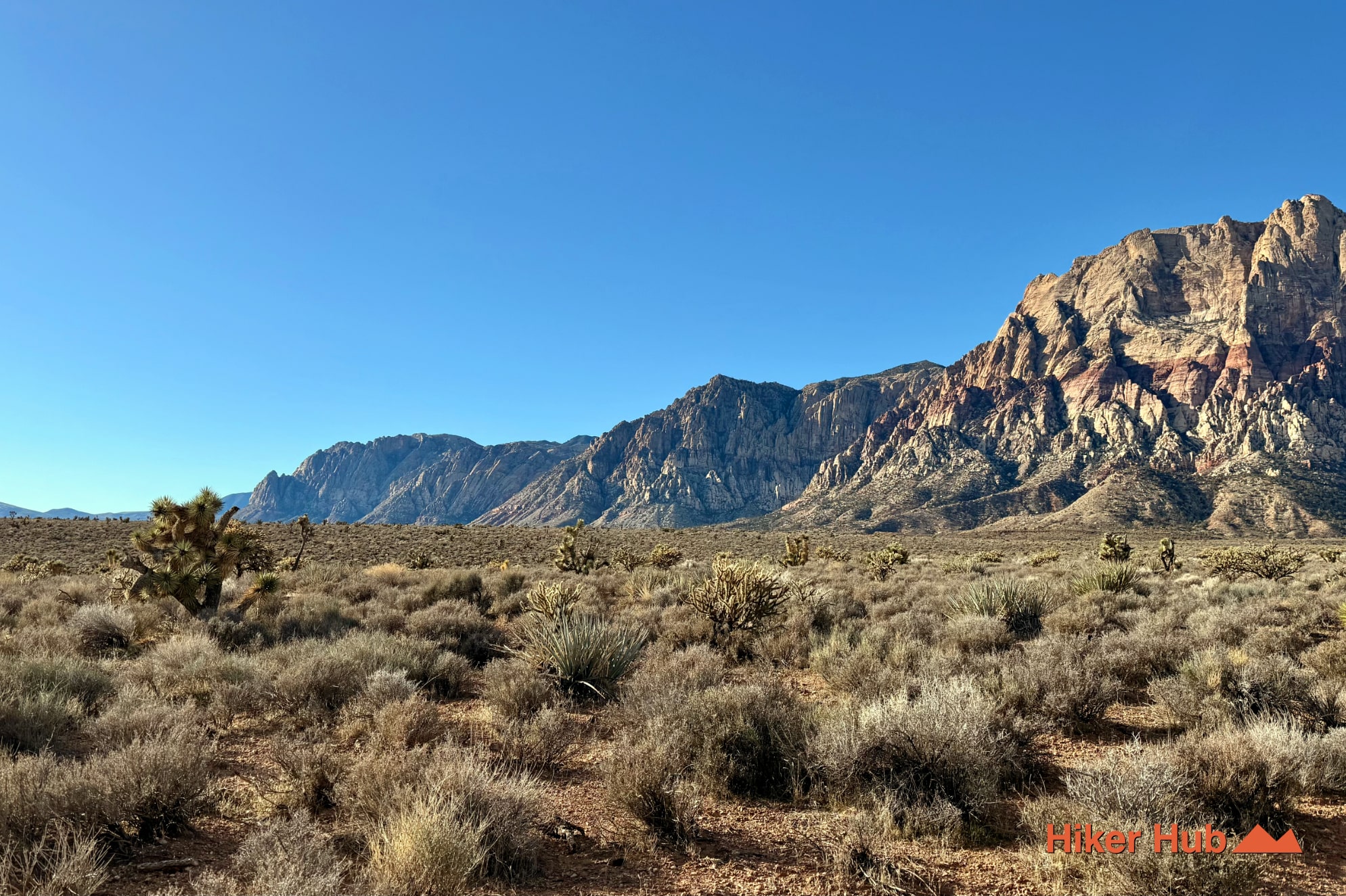
The high point of Arnight is not a single summit. It is the changing relationship between the trail and the enormous wall ahead. The Wilson Cliffs are built largely from Jurassic Aztec Sandstone—ancient windblown dunes compressed into the red, cream, and buff rock that defines many Red Rock Canyon hikes. Behind and beside them rise older gray carbonate mountains dominated by limestone. That contrast is one of the clearest lessons in Red Rock Canyon geology: the famous sandstone is only one layer of a much older American Southwest landscape.
Runoff from the escarpment feeds Oak Creek and Pine Creek after rain and snowmelt. Most of Arnight remains dry and exposed, but the nearby drainages support denser shrubs, birds, mule deer, and other desert wildlife. Water is seasonal and should never be assumed. A photographic view toward Mount Wilson helps show the scale of the cliffs that collect and redirect that runoff.
Arnight is ideal for moderately experienced hikers who prefer distance and scenery over scrambling. The tread is usually more straightforward than the primitive social routes farther south, but sturdy hiking shoes still help on embedded rock and loose wash crossings. Trail runners also value the route because the elevation changes are gradual enough to maintain rhythm. For visitors looking for nature, introspection, or even a little soul searching without committing to a peak, the long views and low traffic make Arnight unusually satisfying.
The Oak Creek parking area can fill during cool weekends, yet many visitors walk directly toward Oak Creek Canyon. Arnight usually becomes quieter within the first stretch, and traffic thins even more between the Knoll junction and Pine Creek. It is less secluded than the faint Oak Creek social trails, but substantially calmer than Calico Tanks or Ice Box Canyon.
October through April offers the most reliable hiking weather. Late winter and spring can bring clear air, wildflowers, and visible water in nearby drainages; autumn provides warm light on the escarpment. Summer is fully exposed and can be dangerous even when the mileage looks manageable. Start early, carry more water than the route appears to require, and remember that timed-entry rules may apply when entering the Scenic Loop.
A first visit can be kept simple by walking Arnight out and back. A stronger itinerary links Arnight with Oak Creek and Knoll for a compact loop, or continues toward Pine Creek for a larger tour of the southern red rock canyon hiking trails. For a broad visual preview of the terrain, watch this Red Rock Canyon hiking field compilation before choosing the day’s distance.
Recommended gear
Gear picks are matched to this route using distance, difficulty, terrain, and desert conditions.
Disclosure: some links may be affiliate links. Red Rock Hiker Hub may earn a commission at no extra cost to you.
Water carry
Useful for exposed desert routes where one small bottle is not enough.
View hydration packsShade
Simple shade matters on open desert terrain, sandstone slabs, and long approaches.
View hiking hatsSun protection
A lightweight sun layer is one of the most useful pieces of gear for Red Rock exposure.
View sun hoodiesSkin protection
Small, easy to carry, and useful on nearly every Southern Nevada trail.
View SPF essentialsFooting
Better traction helps on loose gravel, sandstone, rocky washes, and steeper trails.
View trail shoesHeat support
Helpful on hot days, longer hikes, and steep routes where plain water may not be enough.
View electrolytes