Water carry
3L Hydration Pack
Useful for exposed desert routes where one small bottle is not enough.
View hydration packsRed Rock Canyon, Las Vegas
.54 miles • Easy • Trail
Conditions, access, and regulations can change. Always verify current information and assess safety before visiting.
Offline maps coming soon. Be first to access downloadable routes.
Some listings may be paid partnerships.
Know a useful stop near this trail? Suggest a business
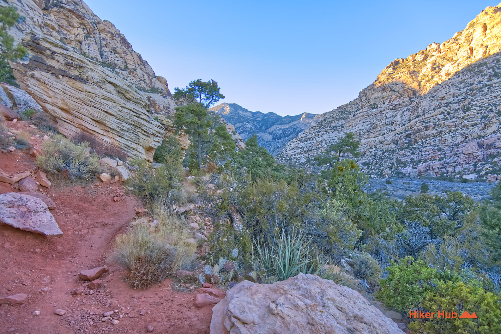
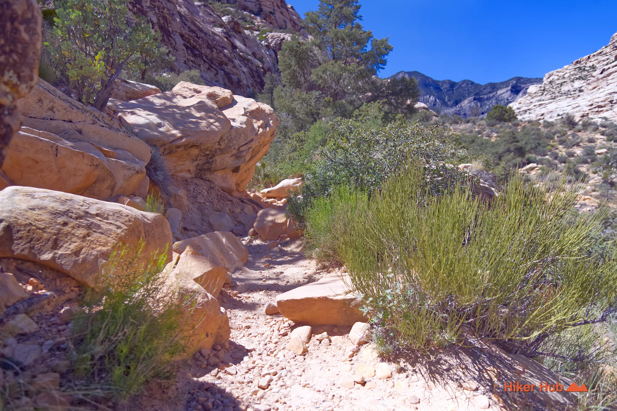
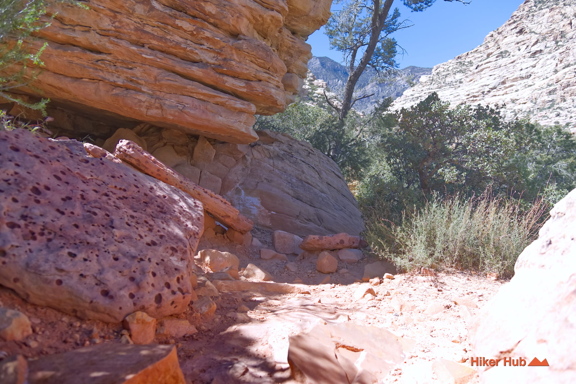
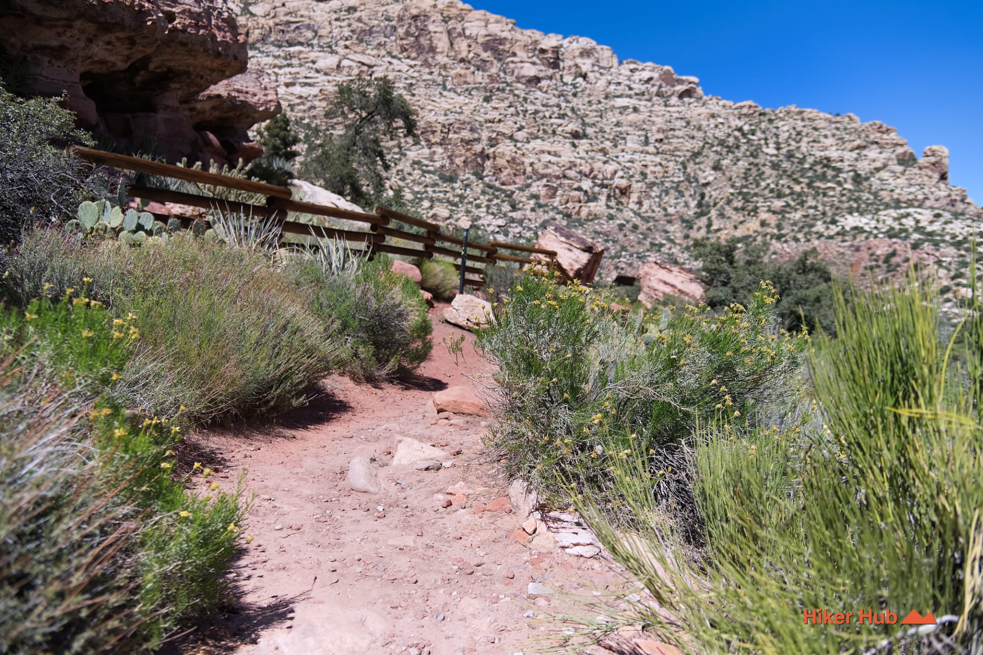
Willow Springs Trail begins at Willow Spring Picnic Area on the western side of the Red Rock Canyon Scenic Loop. It is a short, easy route through one of the conservation area’s richest intersections of water, archaeology, wildlife habitat, and trail access. Pictographs, agave roasting pits, rock shelters, natural springs, and nearby riparian vegetation reveal why people repeatedly returned to this part of the Mojave Desert. The same parking area also opens the way to Petroglyph Wall, Lost Creek, White Rock, La Madre Spring, Rocky Gap Road, and the high country beyond.
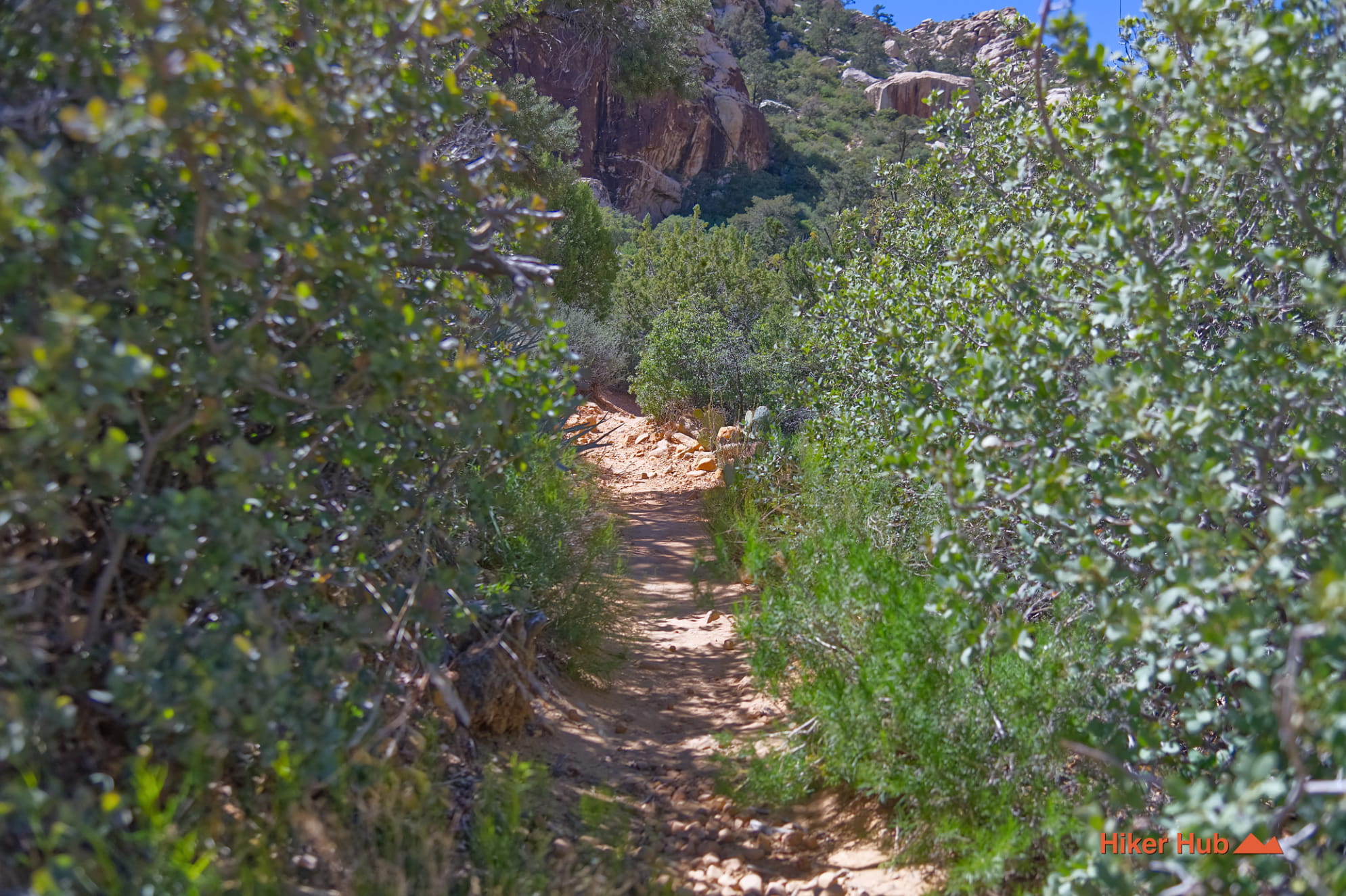
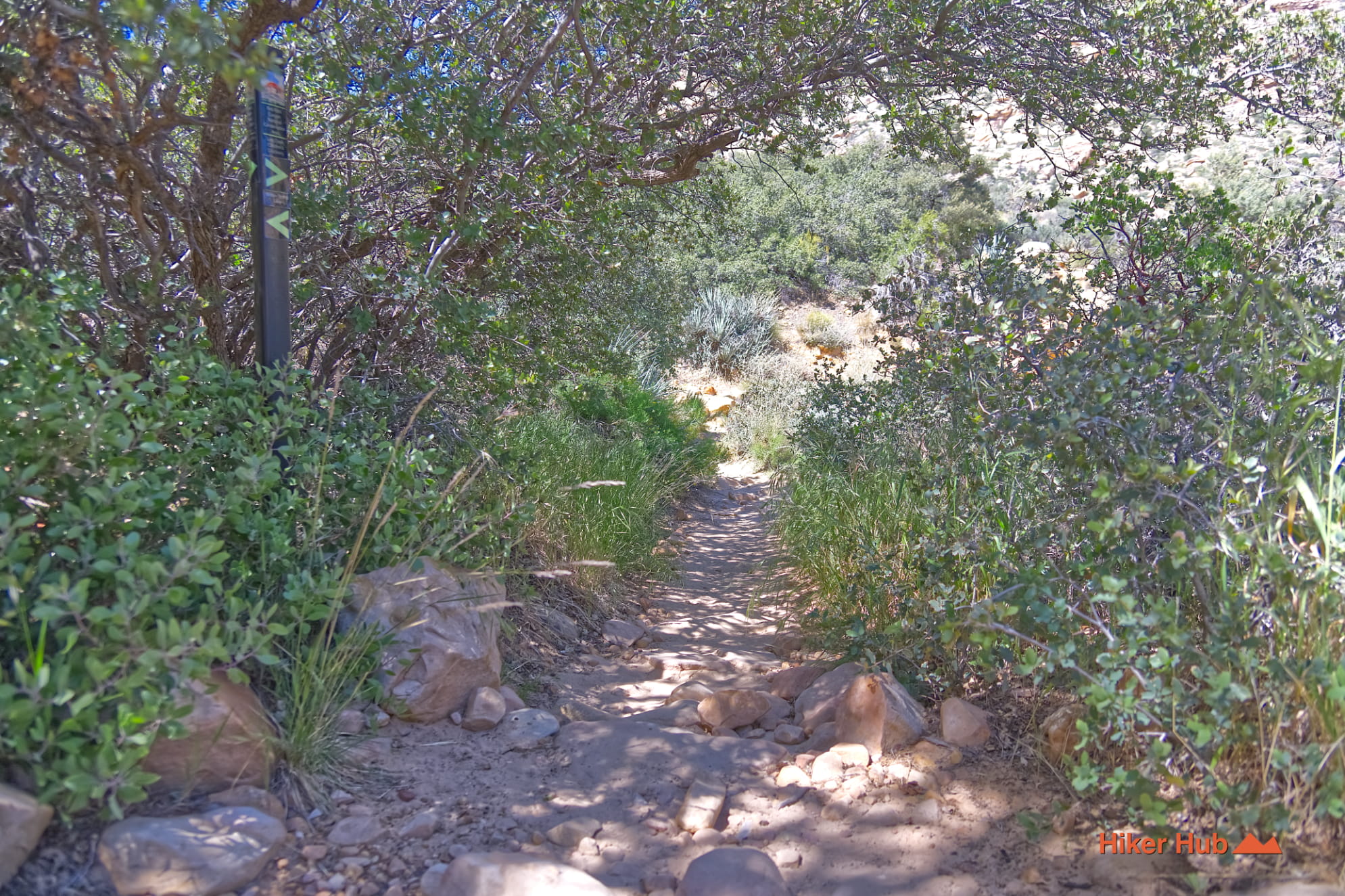
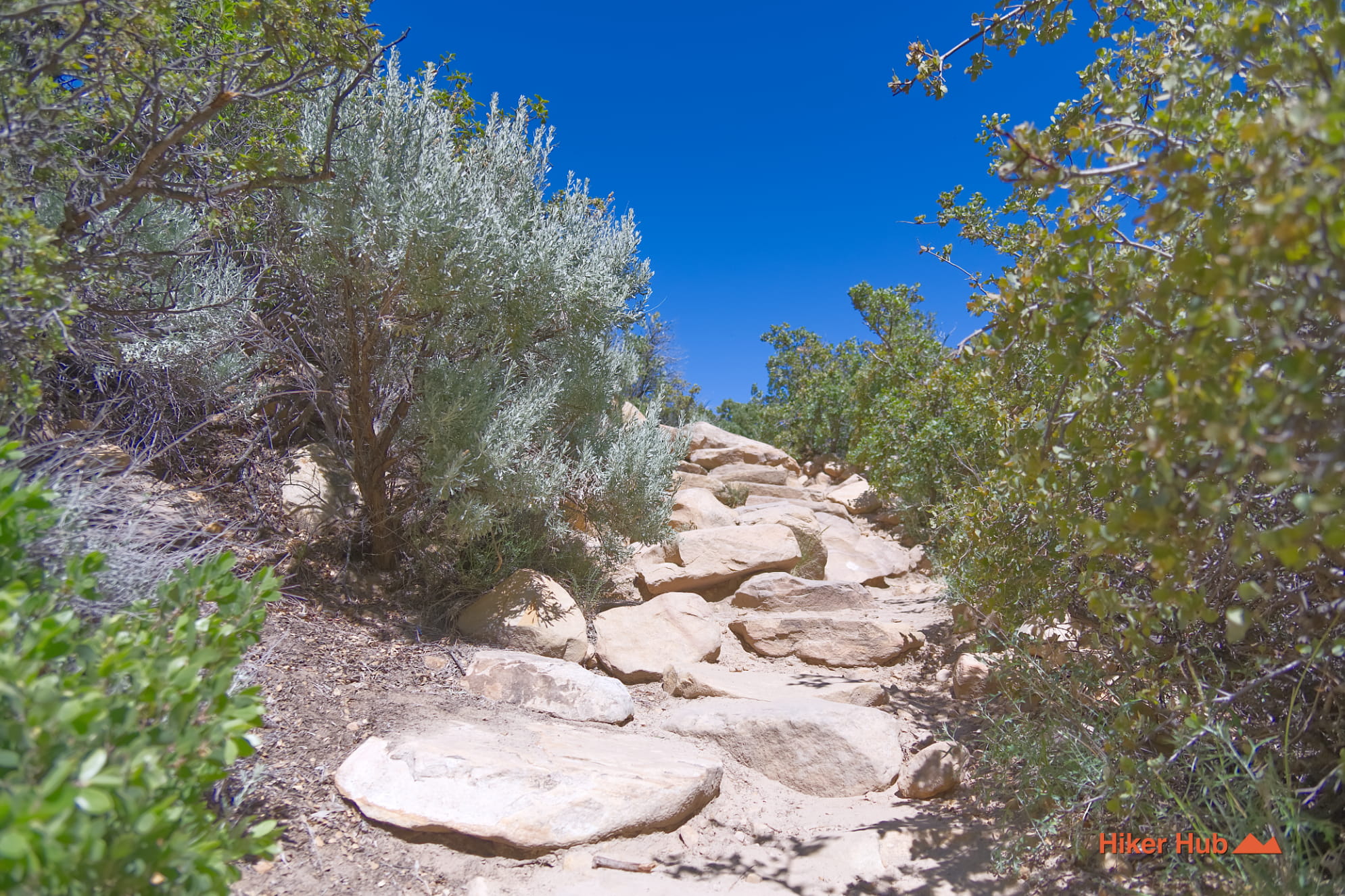
The Willow Spring corridor can be explored as a short out-and-back, the easy Willow Spring Loop, or a connection to Petroglyph Wall Trail and Lost Creek Canyon. Part of the loop is paved, while other sections cross rocky ground and washes. Interpretive signs identify cultural and ecological features without requiring a long or strenuous hike.
Visitors seeking more distance can climb toward White Rock Hills Loop or La Madre Spring. Rocky Gap Road begins nearby and eventually leads toward North Peak, Bridge Mountain, and the primitive Waterfall Canyon route. Few parking areas in Red Rock Canyon connect so many different levels of hiking.
Water is the reason Willow Spring feels different from the open Nevada desert. Springs and runoff support willows, ash, grasses, shrubs, birds, insects, reptiles, and mammals that could not concentrate here otherwise. The BLM identifies more than forty springs across Red Rock Canyon, along with natural tanks and tinajas. These small wet areas are disproportionately important to desert wildlife.
This short video of water moving over a Red Rock ledge shows how modest flow can transform a dry setting. The Ash Tree Red Rock Canyon photo story provides another example of vegetation gathering around water in an otherwise exposed landscape.
Willow Spring contains evidence of a long Indigenous presence, including rock writing and agave roasting pits. Roasting pits are areas of fire-cracked limestone associated with preparing agave and other plants. The features are not abandoned campfire rings; they are protected cultural resources connected to generations of knowledge, movement, food processing, and land care.
Nuwuvi—Southern Paiute people—and earlier communities used Red Rock Canyon’s dependable water, plants, animals, shelter, and stone resources over thousands of years. Do not touch rock writing, walk across roasting pits, remove artifacts, or climb on interpreted cultural surfaces. The best way to experience this history is to read the signs, observe carefully, and leave every object where it is.
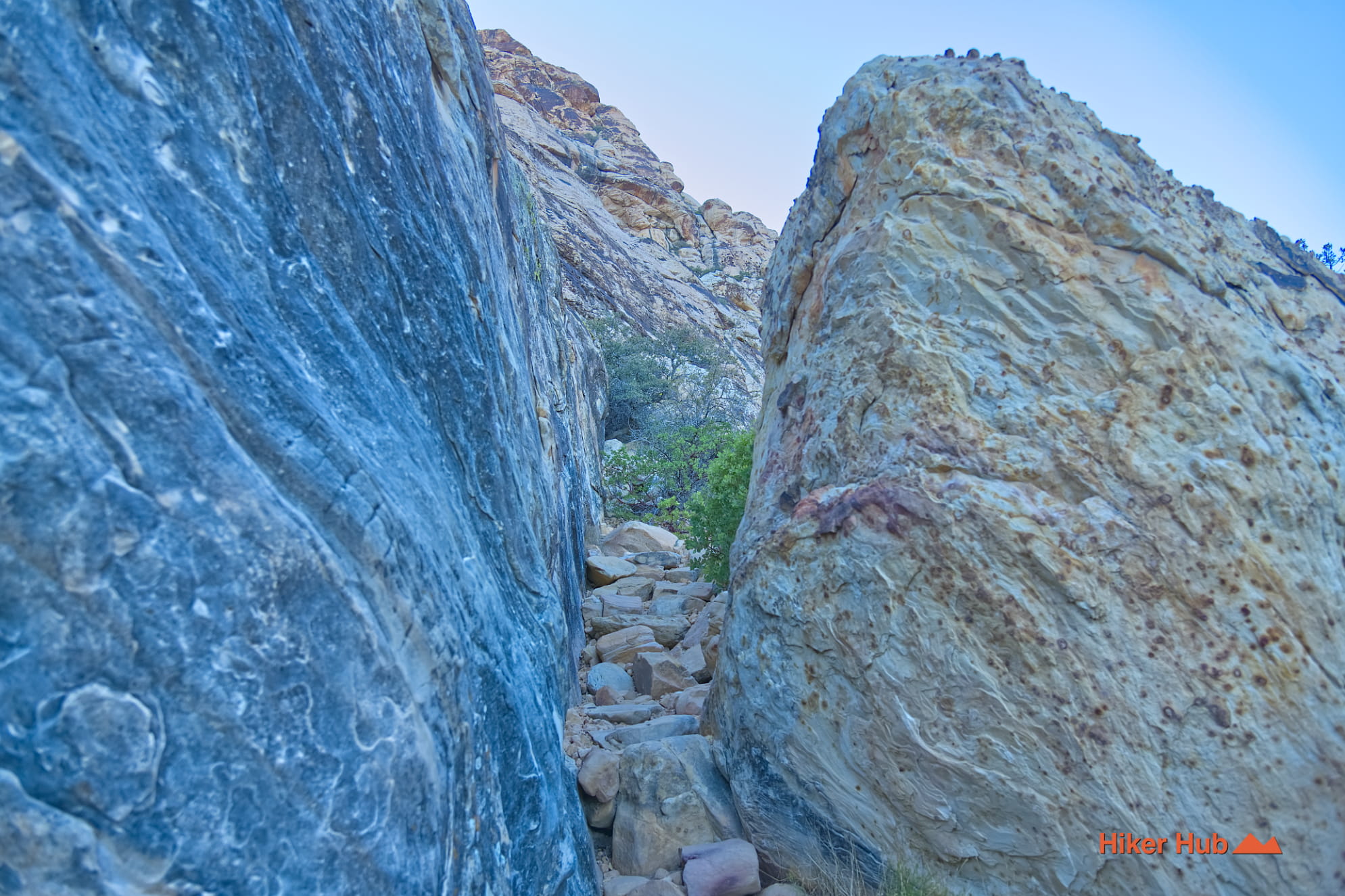
Willow Spring sits near dramatic transitions between sandstone escarpment, pale limestone ridges, canyon fill, and wash deposits. Water follows fractures and low points through this mixed geology, carving channels and periodically rearranging gravel and boulders. A dry-looking wash can become dangerous during monsoon storms or winter rain. Do not enter a crossing when water is rising, and never assume the short distance makes flash flooding harmless.
October through May is the strongest season. Winter and spring may provide flowing water, flowers, and clearer wildlife signs, while autumn offers comfortable temperatures and warm light. Summer requires a very early start even for a short walk. The parking area can be crowded because it serves picnicking, cultural sites, Lost Creek, Rocky Gap, and longer Red Rock Canyon hikes. Arrive early on a weekday for a quieter experience.
Willow Springs is ideal for families, first-time visitors, cultural-history readers, birdwatchers, and anyone seeking a gentle alternative to summit hiking. It is also a useful stop after the Red Rock Canyon Visitor Center for people looking for meaningful things to do in Las Vegas. For wildlife context, see Burros in the Wild; observe every animal from a respectful distance and keep dogs controlled.
Recommended gear
Gear picks are matched to this route using distance, difficulty, terrain, and desert conditions.
Disclosure: some links may be affiliate links. Red Rock Hiker Hub may earn a commission at no extra cost to you.
Water carry
Useful for exposed desert routes where one small bottle is not enough.
View hydration packsShade
Simple shade matters on open desert terrain, sandstone slabs, and long approaches.
View hiking hatsSun protection
A lightweight sun layer is one of the most useful pieces of gear for Red Rock exposure.
View sun hoodiesFooting
Better traction helps on loose gravel, sandstone, rocky washes, and steeper trails.
View trail shoesHeat support
Helpful on hot days, longer hikes, and steep routes where plain water may not be enough.
View electrolytesSkin protection
Small, easy to carry, and useful on nearly every Southern Nevada trail.
View SPF essentials