Water carry
3L Hydration Pack
Useful for exposed desert routes where one small bottle is not enough.
View hydration packsRed Rock Canyon, Las Vegas
.66 miles • Easy • Trail
Conditions, access, and regulations can change. Always verify current information and assess safety before visiting.
Offline maps coming soon. Be first to access downloadable routes.
Some listings may be paid partnerships.
Know a useful stop near this trail? Suggest a business
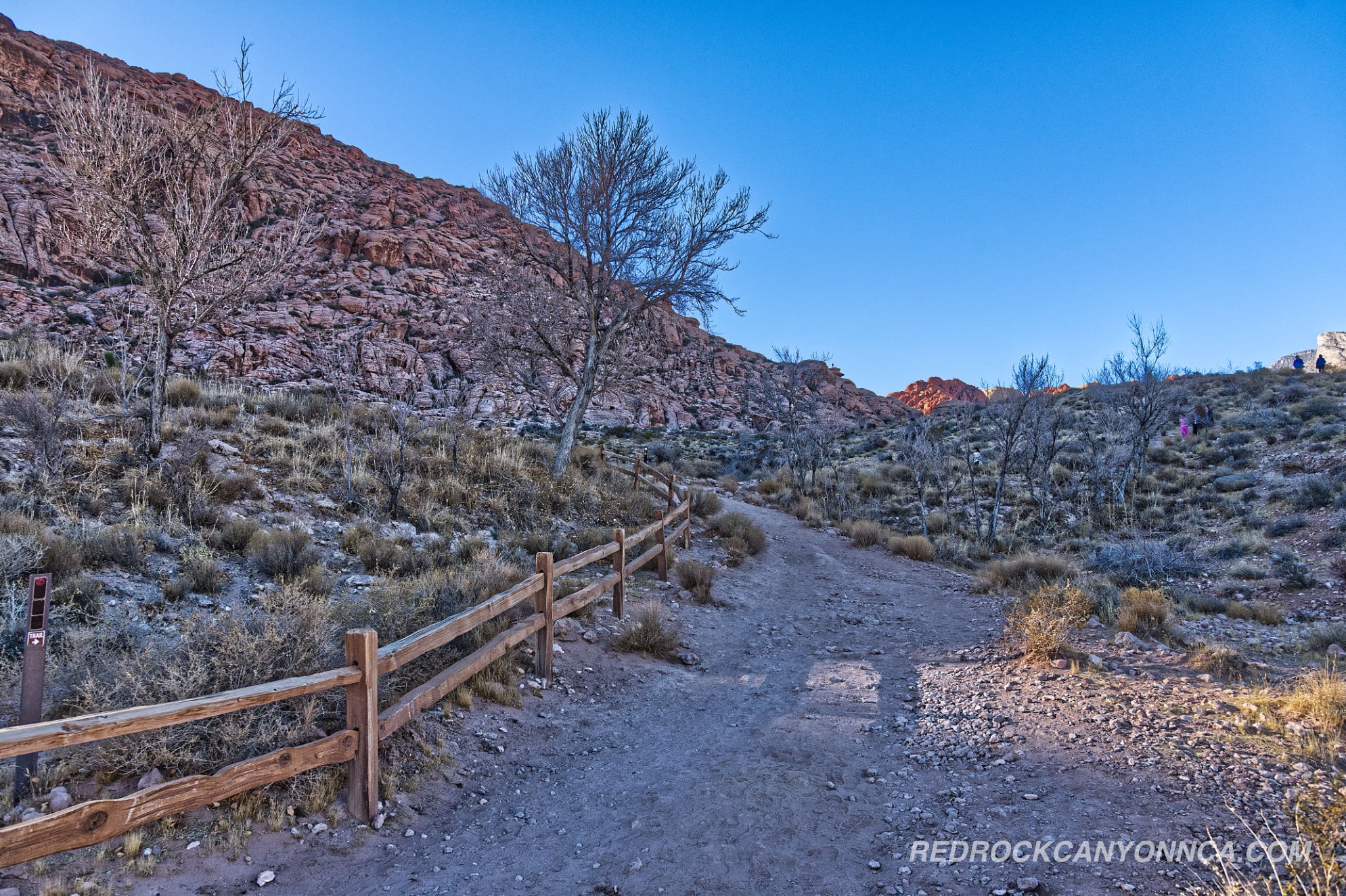
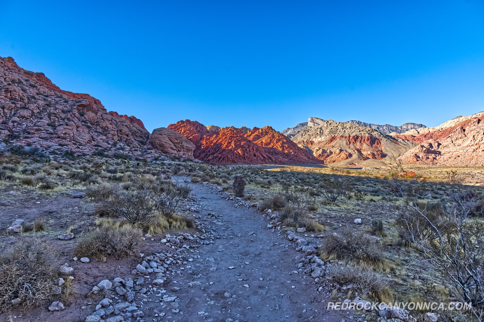
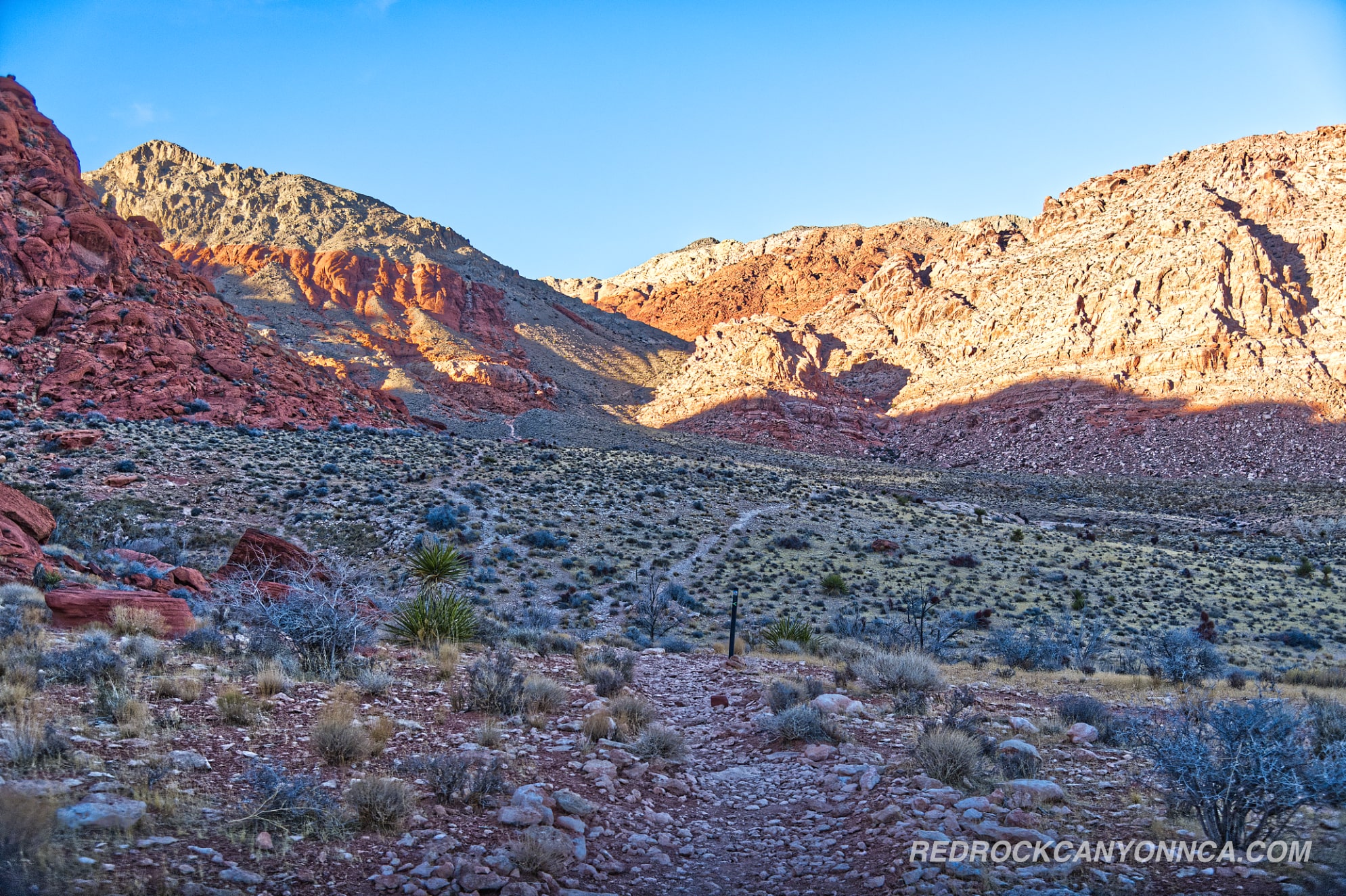
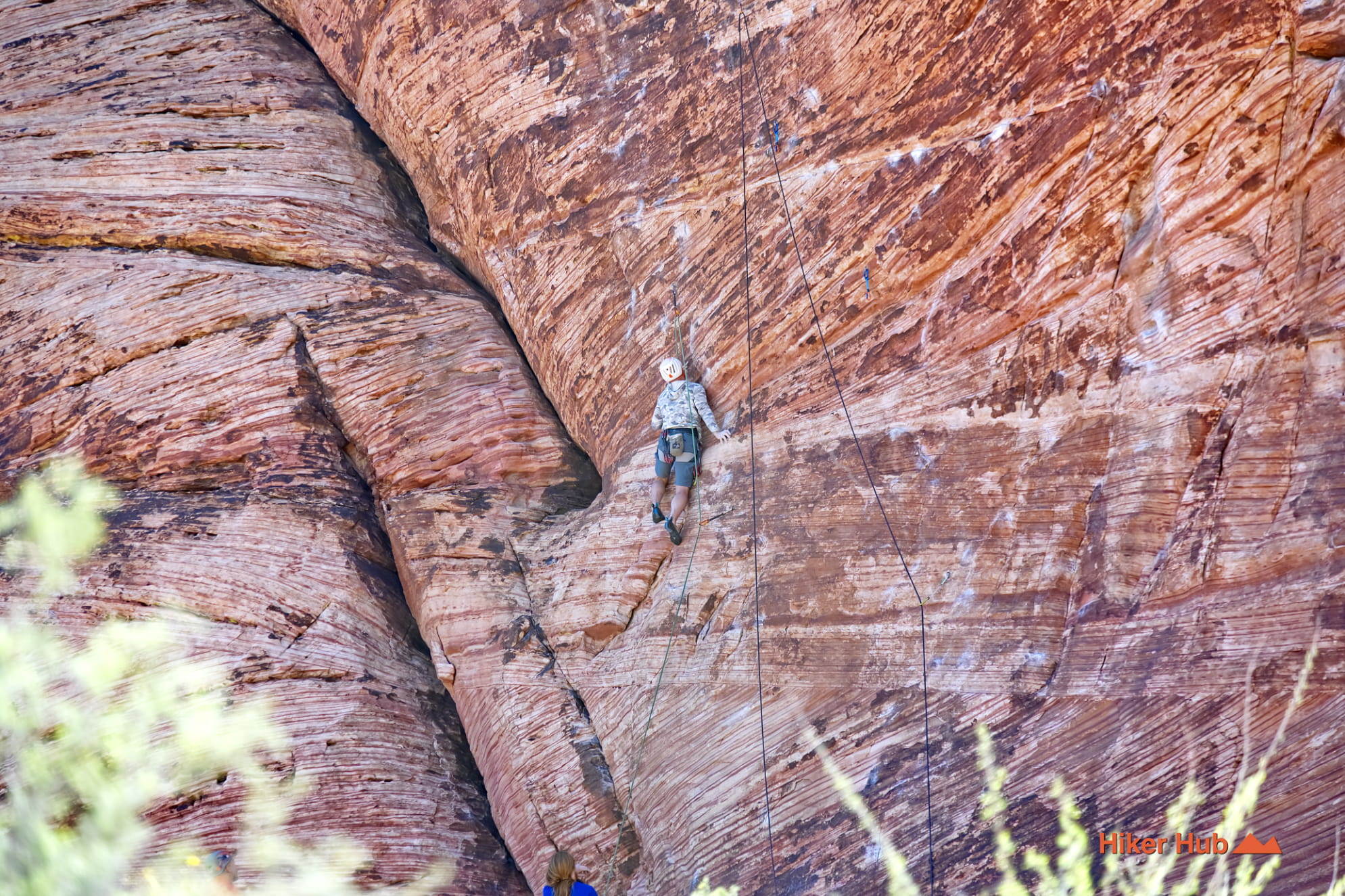
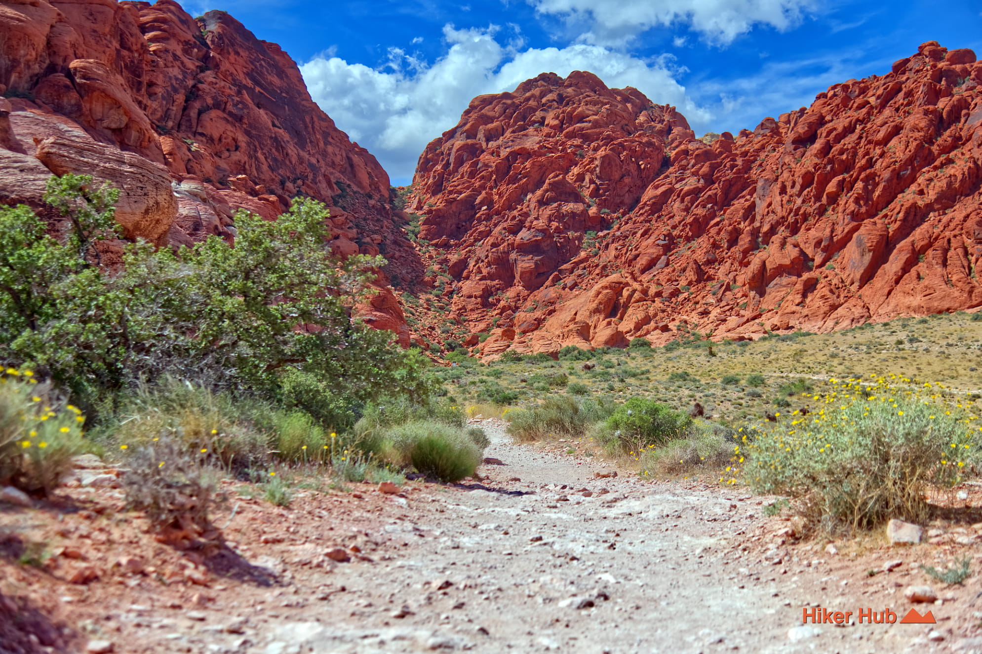
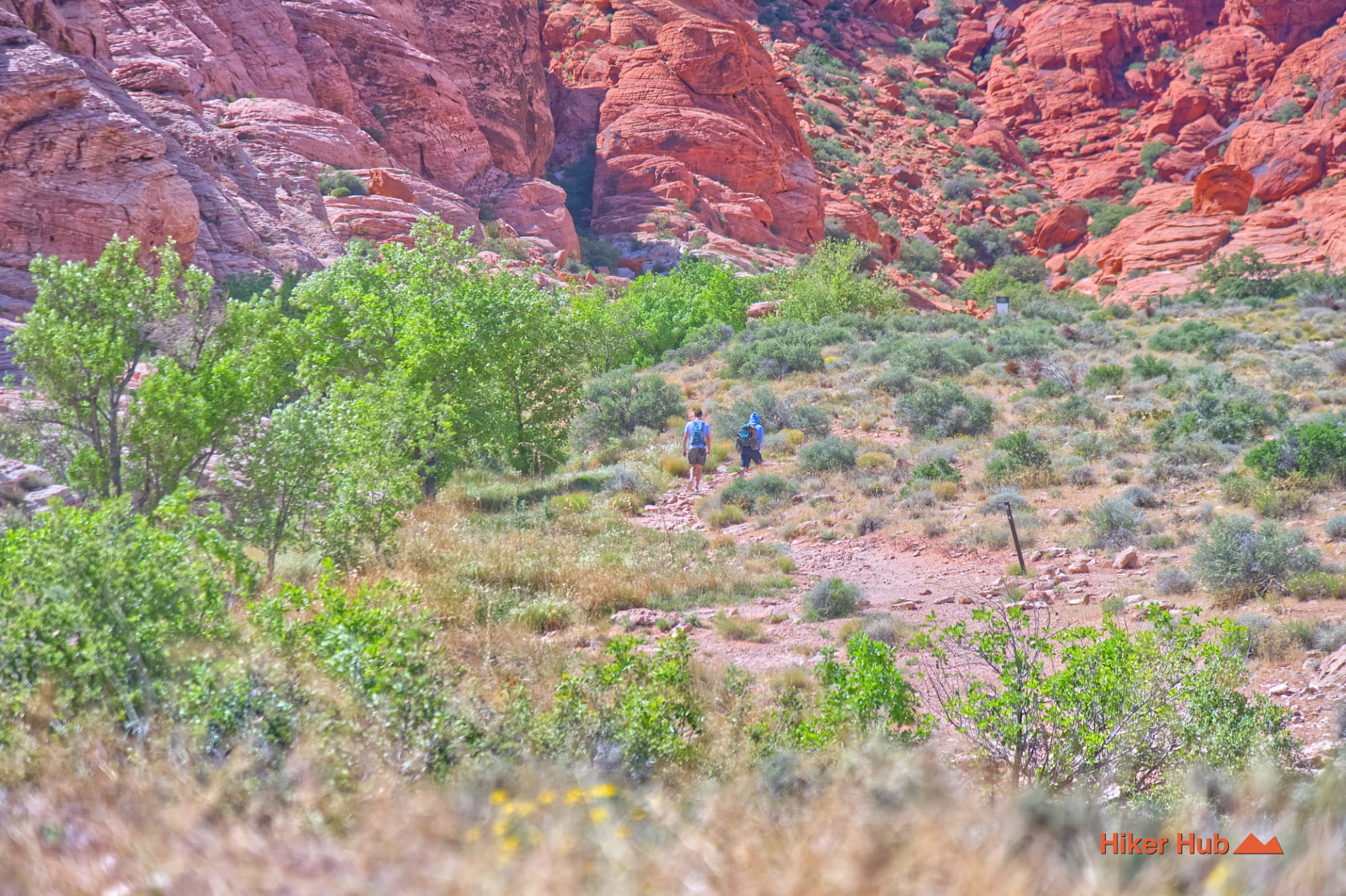
Calico Basin is one of the best places to understand why hiking near Las Vegas can feel completely different from one trail to the next. The basin sits east of the Red Rock Canyon Scenic Loop, reached from State Route 159 through the Red Spring and Kraft Mountain area. Bright Aztec Sandstone, gray limestone ridges, natural springs, broad desert flats, and a dense network of connectors all meet here. A visitor can take an easy hour-long walk, assemble a half-day loop, or move into rugged scrambling terrain without leaving the same general trail system.
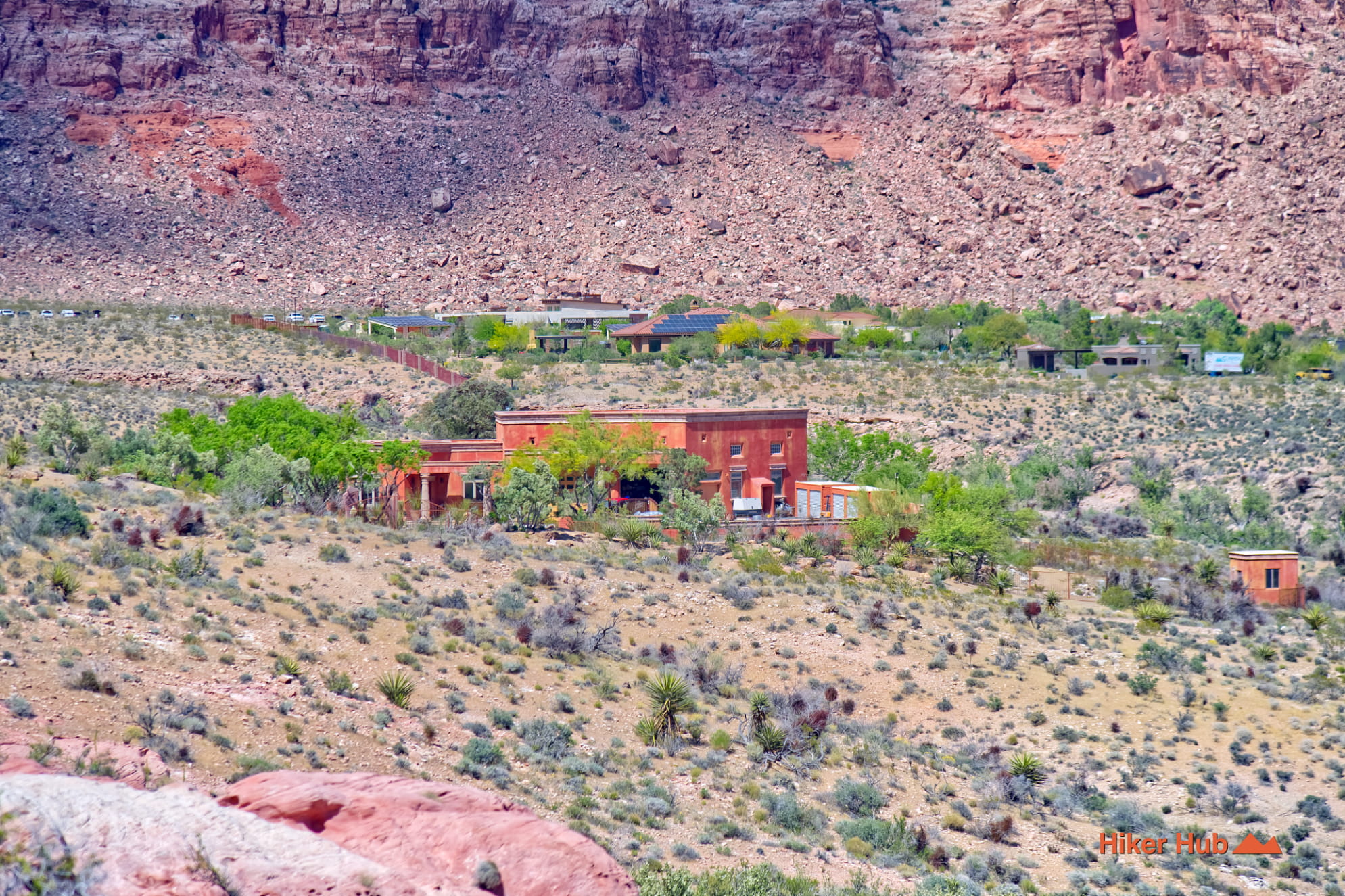
Calico Basin lies between the expanding Las Vegas Valley and the sandstone escarpment of Red Rock Canyon National Conservation Area. The principal access points are Red Spring and the Kraft Mountain parking area. These entrances are outside the one-way Scenic Drive, so they do not require a Scenic Loop timed-entry reservation or entrance fee. That convenience makes the area extremely popular. Parking can fill early on cool weekends, holidays, and prime climbing days, and visitors should never park illegally along narrow residential roads.
For travelers researching Red Rock Canyon LV, Calico Basin is often the most flexible introduction because it combines recognizable red sandstone with open access and many route choices. It is also close enough to the city that the transition from neighborhood streets to the Mojave Desert landscape happens within minutes.
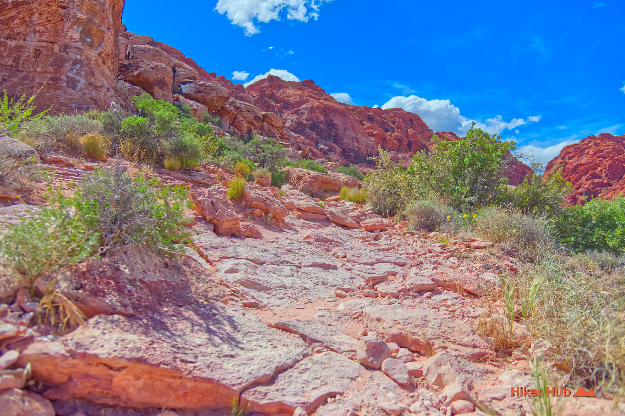
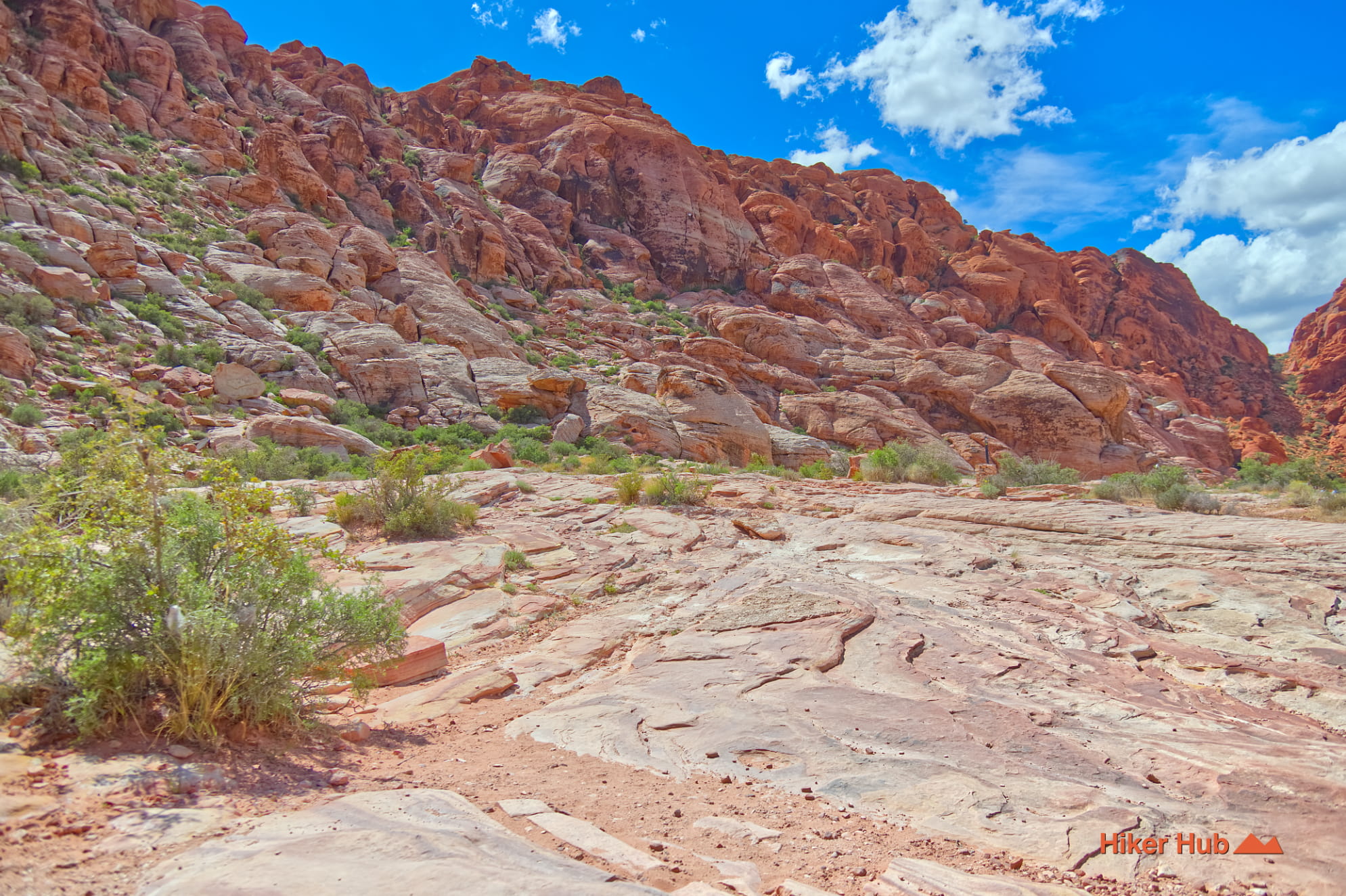
The basin’s red, orange, cream, and white cliffs belong largely to the Jurassic Aztec Sandstone, formed from enormous ancient sand dunes that hardened into rock. Cross-bedding still records the direction of long-vanished winds, while iron minerals help produce the famous red color. Weathering has opened cracks, alcoves, ledges, and narrow passages that attract hikers, climbers, and photographers.
Calico Spring, Red Spring, and nearby Ash Spring show how water changes this otherwise arid landscape. Seasonal and intermittent moisture supports ash trees, meadow vegetation, birds, insects, and other desert wildlife. These riparian pockets are far more sensitive than the surrounding uplands. Stay on established tread, do not create shortcuts around wet ground, and leave wildlife and cultural resources undisturbed.
Calico Basin is best understood as a network rather than one isolated trail. Two useful combinations are:
The lower basin works well for families, casual hikers, photographers, trail runners, and visitors looking for things to do in Las Vegas beyond the Strip. The higher connectors and Kraft Mountain terrain are better for experienced hikers and scramblers. Because the network contains many informal junctions, first-time visitors should download a map and choose a defined route before leaving the parking area.
October through May usually offers the best hiking weather. Winter days can be cold and windy, while spring brings wildflowers and the largest crowds. Summer exposure is severe, and saturated sandstone can become slippery and fragile after rain. Start early for parking, softer light, and cooler temperatures. The photographs in Red Sandstone and Las Vegas Sunset show why dawn and late afternoon are especially rewarding in this landscape.
Recommended gear
Gear picks are matched to this route using distance, difficulty, terrain, and desert conditions.
Disclosure: some links may be affiliate links. Red Rock Hiker Hub may earn a commission at no extra cost to you.
Water carry
Useful for exposed desert routes where one small bottle is not enough.
View hydration packsShade
Simple shade matters on open desert terrain, sandstone slabs, and long approaches.
View hiking hatsSun protection
A lightweight sun layer is one of the most useful pieces of gear for Red Rock exposure.
View sun hoodiesSkin protection
Small, easy to carry, and useful on nearly every Southern Nevada trail.
View SPF essentialsFooting
Better traction helps on loose gravel, sandstone, rocky washes, and steeper trails.
View trail shoesHeat support
Helpful on hot days, longer hikes, and steep routes where plain water may not be enough.
View electrolytes