Water carry
3L Hydration Pack
Useful for exposed desert routes where one small bottle is not enough.
View hydration packsRed Rock Canyon, Las Vegas
.51 miles • Easy • Trail
Conditions, access, and regulations can change. Always verify current information and assess safety before visiting.
Offline maps coming soon. Be first to access downloadable routes.
Some listings may be paid partnerships.
Know a useful stop near this trail? Suggest a business
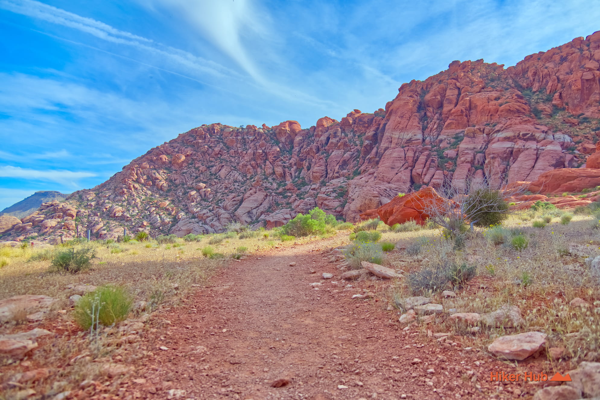
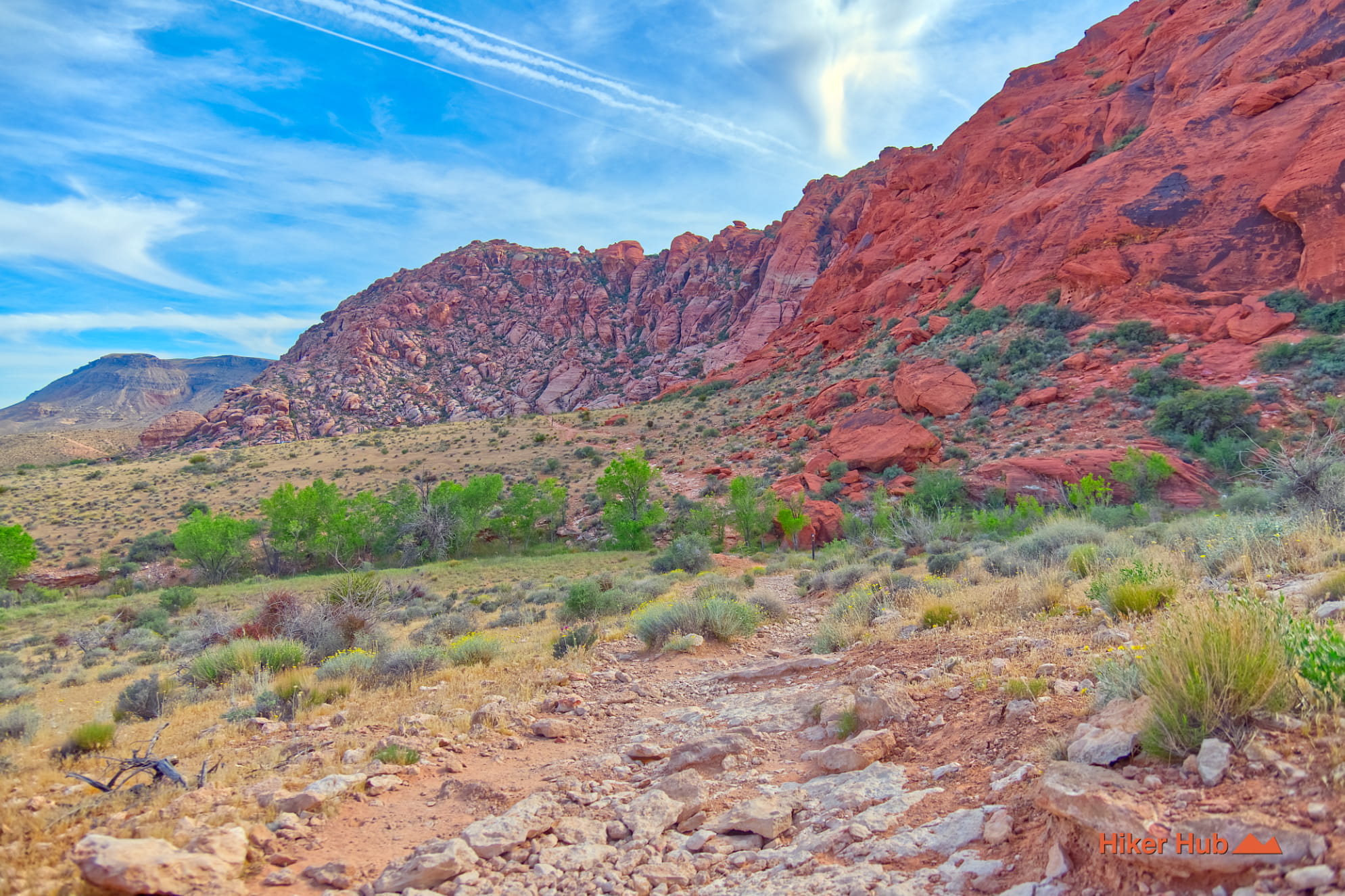
Girl Scout Trail is a short but important connector at the base of the Calico Hills in Calico Basin. It begins near the Kraft Mountain parking area, follows part of an old dirt-road alignment, and narrows into a rocky path beneath the sandstone cliffs. The trail is often used to link Ash Spring, Calico Basin Trail, and Kraft Mountain Loop, but it also works as a scenic standalone walk for hikers who want close views of the Calicos without committing to a strenuous scramble.
Access begins from State Route 159, then Calico Basin Road through the residential community to the Kraft Mountain lot. The trail skirts the base of the sandstone formation west of the neighborhood and remains outside the Red Rock Canyon Scenic Loop. Its location makes it convenient, but the parking area is shared with climbers, Kraft Mountain hikers, and other trail users. Cool weekend mornings can be crowded, and early arrival is strongly recommended.
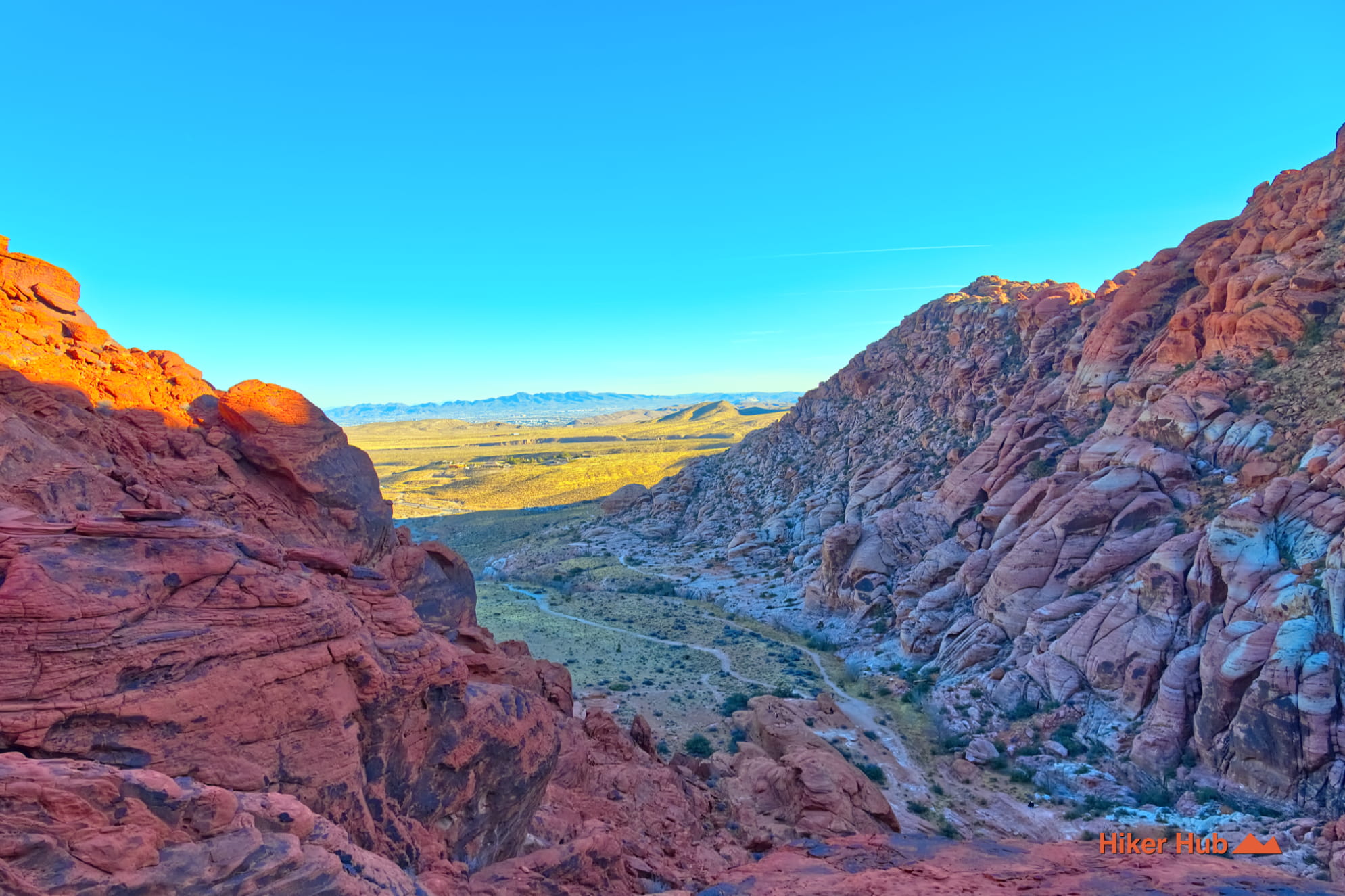
Girl Scout is one of the easiest ways to move from the lower desert into the base of the cliffs. The route never reaches a major summit, yet the open basin produces broad views, especially late in the day when sandstone color intensifies and shadows stretch toward Las Vegas. This Girl Scout Trail field video provides a ground-level preview of the terrain.
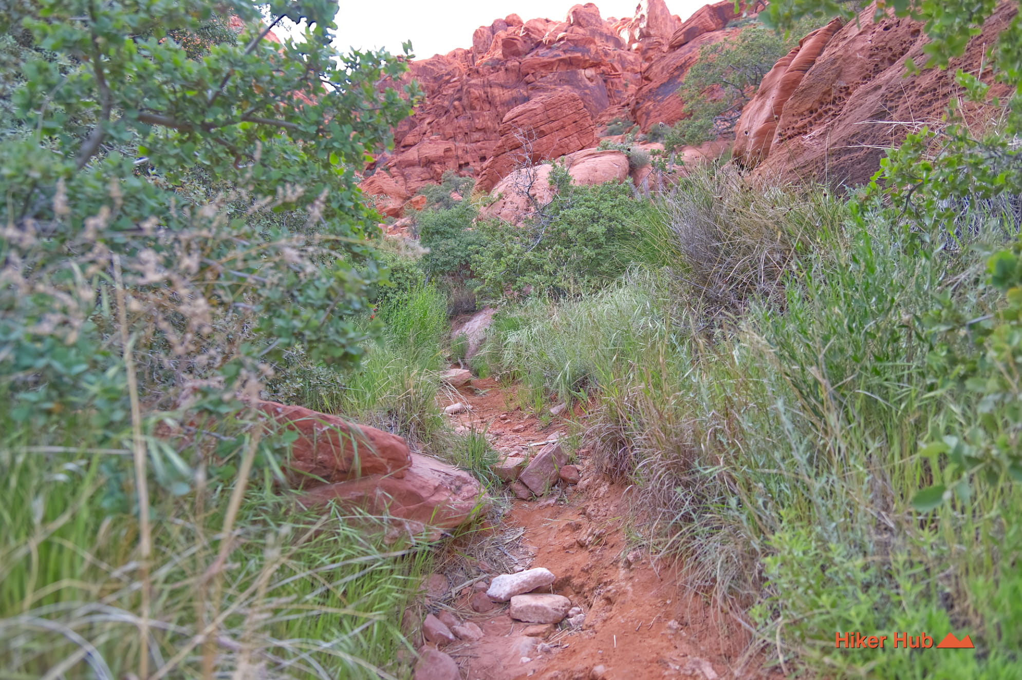
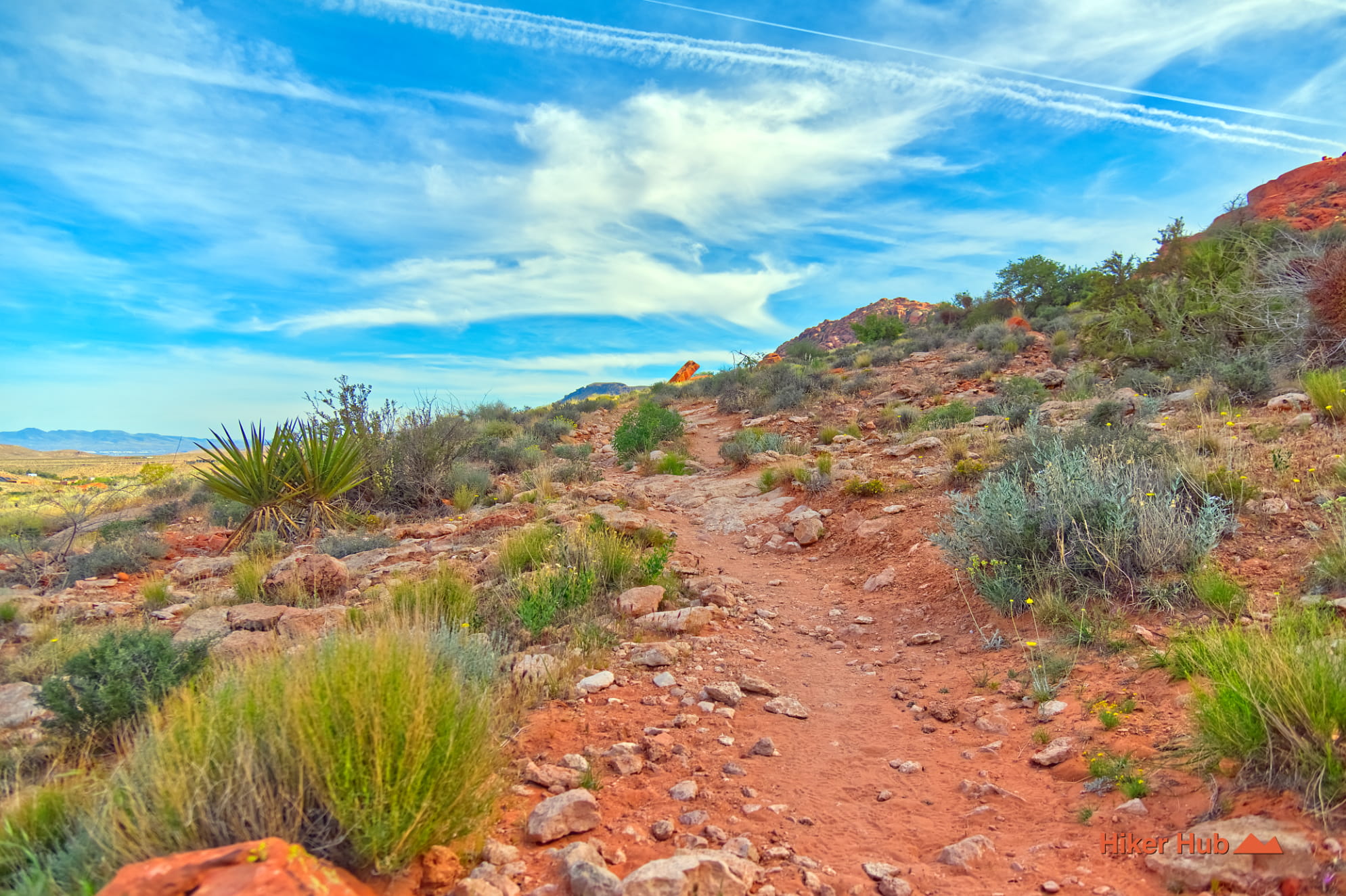
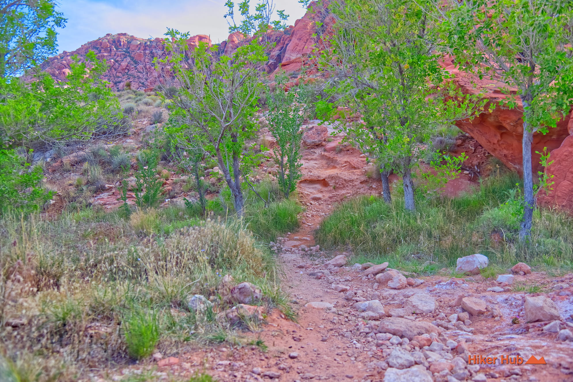
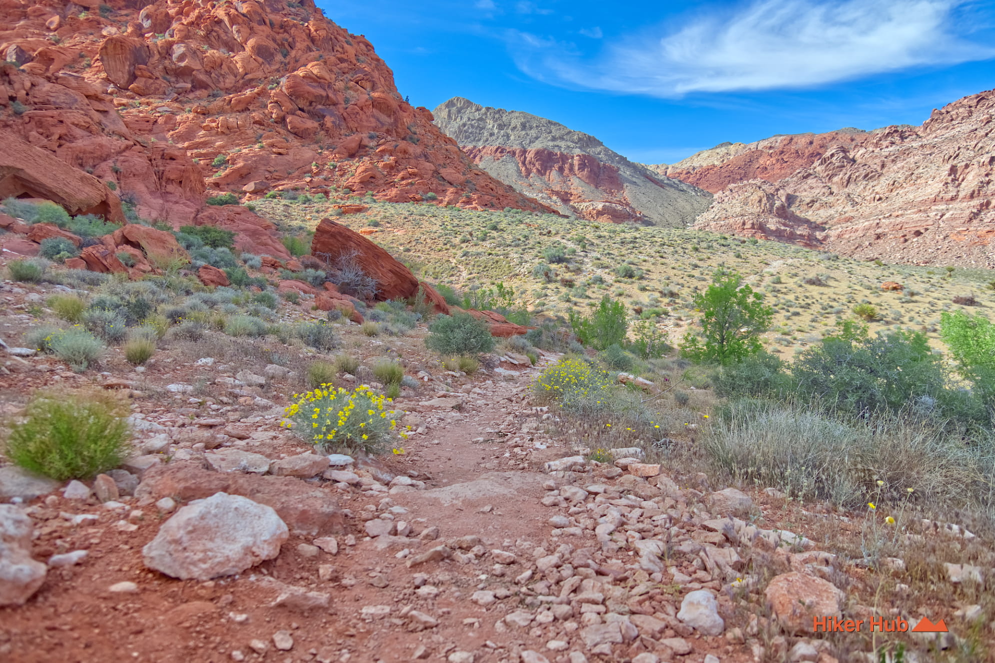
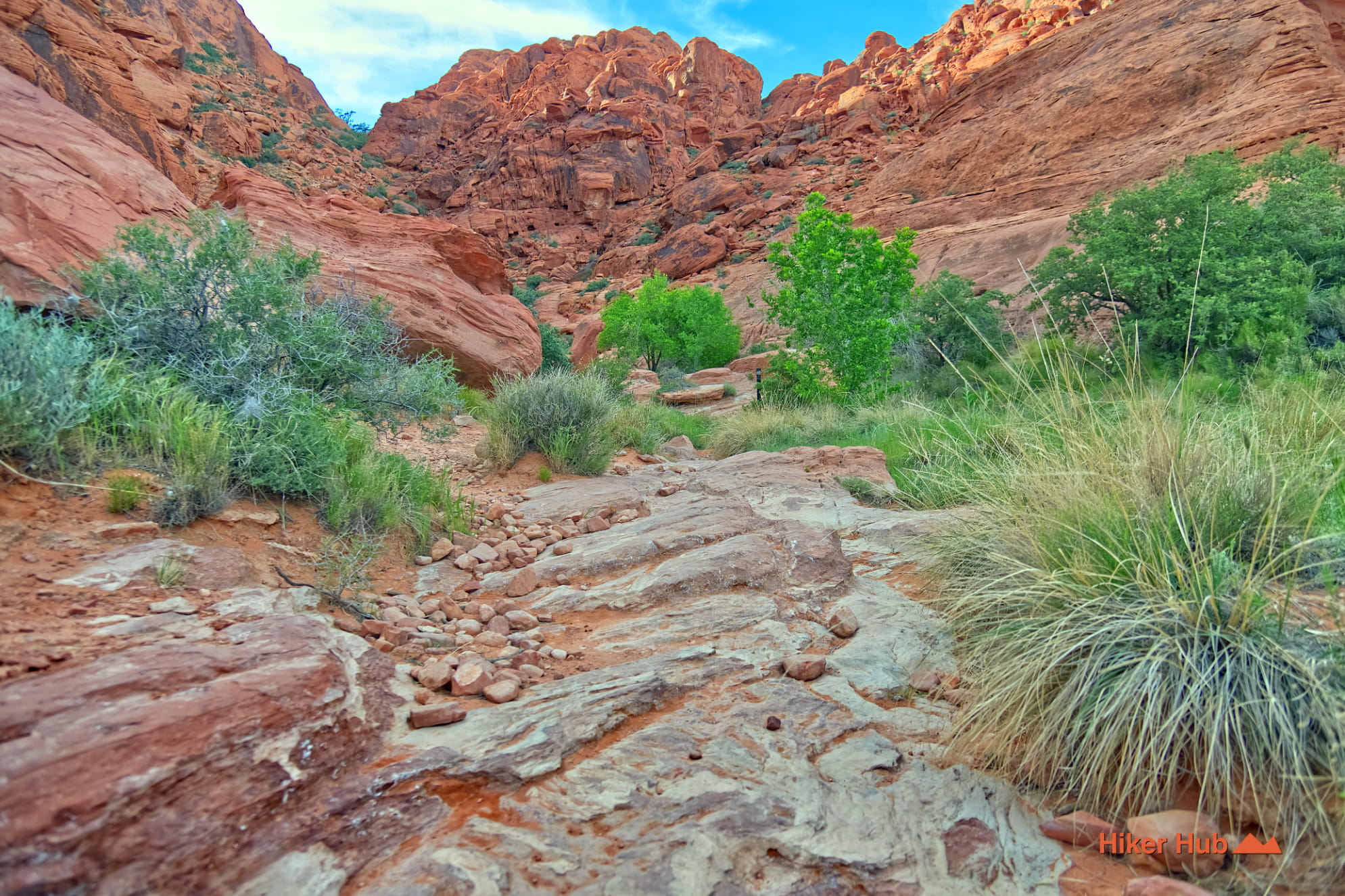
The Calico Hills are made largely from Jurassic Aztec Sandstone—ancient windblown dunes preserved as rock. Girl Scout runs close enough to see cross-bedding, weathered pockets, cracks, and the change from red-orange stone to cream-colored layers. The trail surface itself mixes compact dirt, embedded rock, loose sandstone fragments, and wash material. It becomes narrower and rougher after leaving the old-road section.
The sandstone cliffs also create habitat. Lizards, birds, snakes, tarantulas, and small mammals use cracks, shaded ledges, and vegetation at the base of the rock. Pay attention before placing hands on a ledge or sitting beneath an overhang, particularly during warmer months. The wildlife is part of the experience, not something to handle or crowd.
Girl Scout’s high point is its connectivity. Continue north and east toward Ash Spring for seasonal water, ash trees, and shade. Move farther into the basin through Calico Basin Trail. Enter Kraft Mountain Loop only when prepared for scrambling, steeper terrain, and more complex route-finding. Hikers can also combine Girl Scout with Calico Overlook for a short climb and broad Las Vegas Valley views.
The trail is ideal for beginners who are comfortable on uneven rock, photographers, families with older children, trail runners, and hikers building a custom loop. It's less suitable for visitors expecting a fully paved nature trail or continuous signage. Junctions can be subtle.
October through May is the most comfortable season. Winter can be windy, while spring brings wildflowers and heavy parking demand. Late afternoon light can be exceptional, as shown in this Las Vegas Sunset photo story, but hikers should leave enough daylight to navigate the return. Summer heat is severe and shade is inconsistent. Wear hiking shoes, carry water, keep dogs controlled around wildlife and bikes, and avoid saturated sandstone after storms.
Recommended gear
Gear picks are matched to this route using distance, difficulty, terrain, and desert conditions.
Disclosure: some links may be affiliate links. Red Rock Hiker Hub may earn a commission at no extra cost to you.
Water carry
Useful for exposed desert routes where one small bottle is not enough.
View hydration packsShade
Simple shade matters on open desert terrain, sandstone slabs, and long approaches.
View hiking hatsSun protection
A lightweight sun layer is one of the most useful pieces of gear for Red Rock exposure.
View sun hoodiesFooting
Better traction helps on loose gravel, sandstone, rocky washes, and steeper trails.
View trail shoesHeat support
Helpful on hot days, longer hikes, and steep routes where plain water may not be enough.
View electrolytesSkin protection
Small, easy to carry, and useful on nearly every Southern Nevada trail.
View SPF essentials