Water carry
3L Hydration Pack
Useful for exposed desert routes where one small bottle is not enough.
View hydration packsRed Rock Canyon, Las Vegas
1.7 miles • Easy • Trail
Conditions, access, and regulations can change. Always verify current information and assess safety before visiting.
Offline maps coming soon. Be first to access downloadable routes.
Some listings may be paid partnerships.
Know a useful stop near this trail? Suggest a business
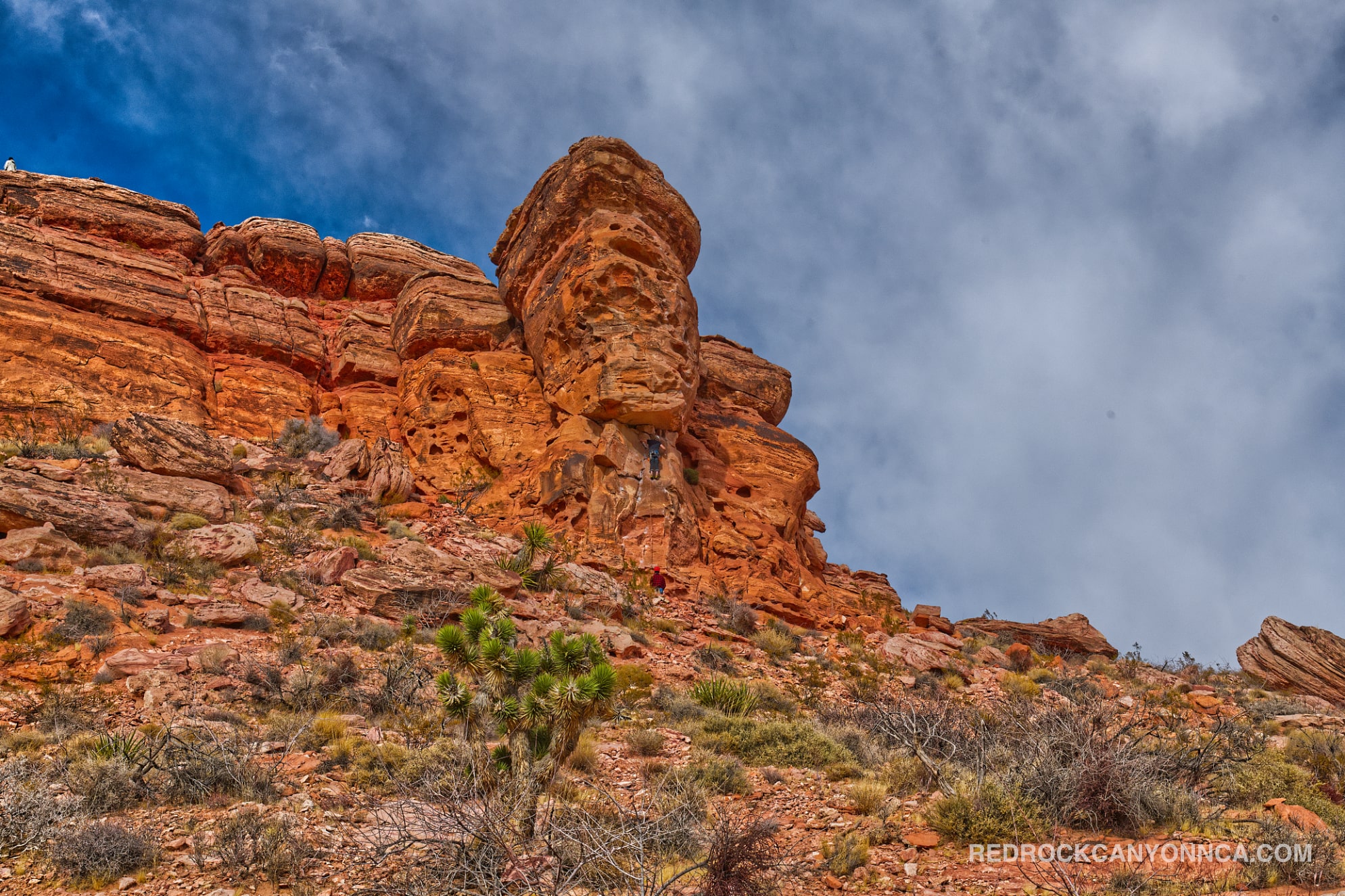
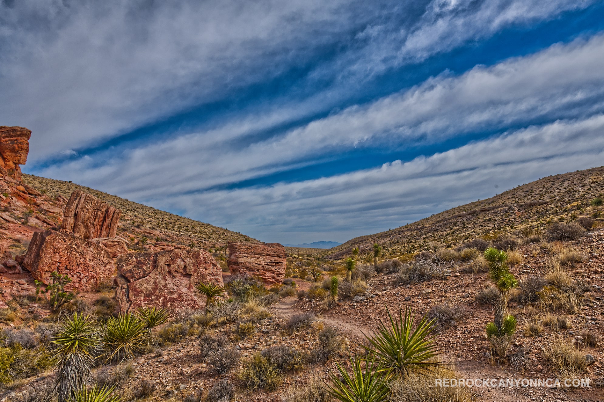
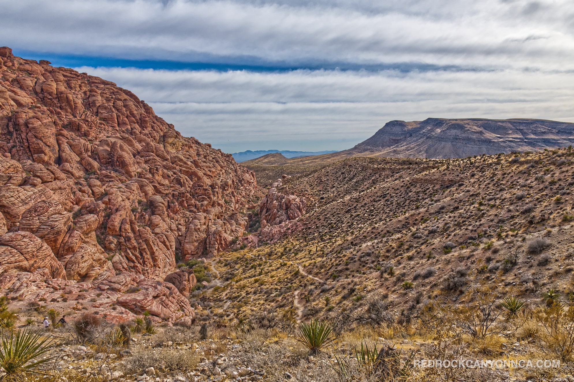
Calico Overlook is a short but steep climb from the Red Spring side of Calico Basin. The route gains elevation quickly and reaches a compact summit with broad views across the colorful Calico Hills, Kraft Mountain, the Las Vegas Valley, and the darker limestone ranges behind Red Rock Canyon. It's one of the best effort-to-view hikes in the basin, but the loose, rocky ascent is more demanding than its short distance suggests.
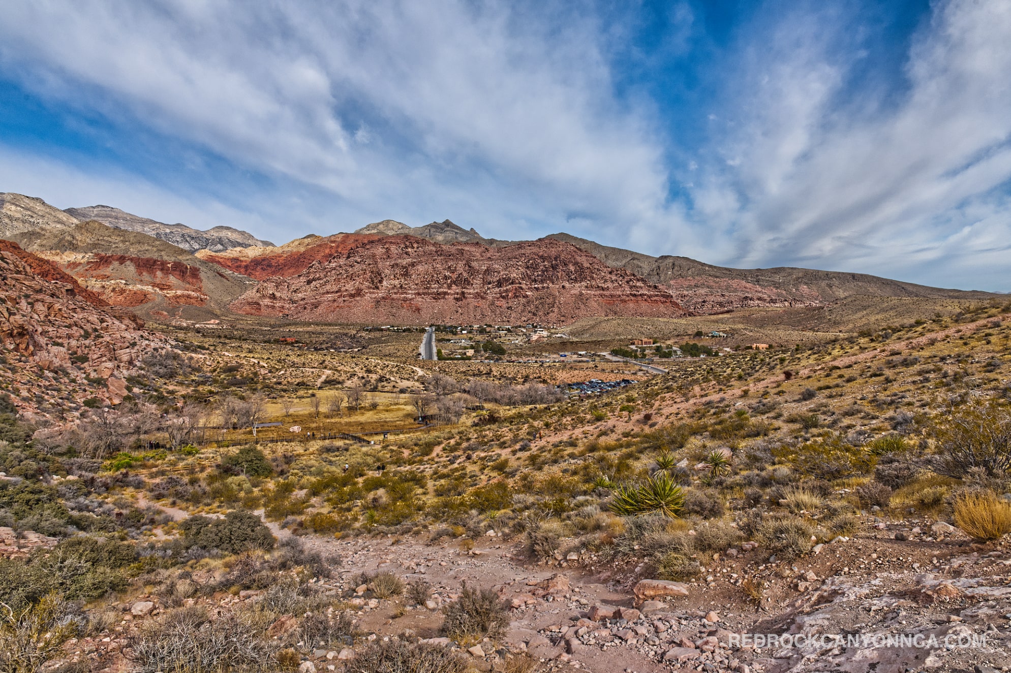
The trail begins near Red Spring and the Calico Basin residential area, outside the Red Rock Canyon Scenic Loop. It's often combined with Calico Basin Trail, Girl Scout Trail, and Ash Spring. From the summit, hikers can study the entire basin before choosing a longer route. The overlook also provides a useful orientation point: Red Spring lies below, the Calico sandstone rises west and south, and the city stretches east across Clark County.
The short video This View of the Las Vegas Valley Will Blow Your Mind captures the broad urban-and-desert perspective that makes elevated western-valley hikes so rewarding. On especially clear days, the distant Vegas skyline becomes part of the view.
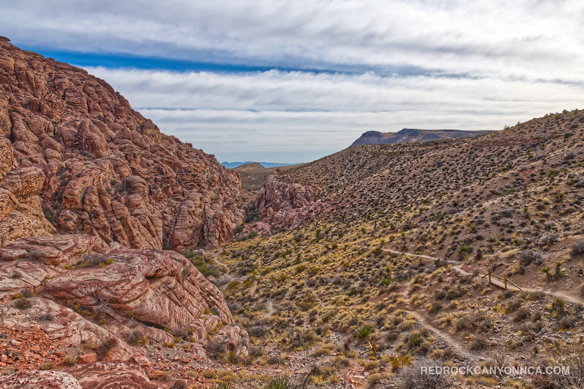
“Calico” refers to the multicolored Aztec Sandstone formations—red, orange, cream, and white rock created from Jurassic sand dunes. The entire Red Rock Canyon landscape is not sandstone. From the overlook, the difference is easy to see: bright, rounded sandstone occupies the foreground, while older gray limestone mountains form harder, darker ridges beyond it. Washes and alluvial fans spread sediment between those rock masses and the Las Vegas desert below.
That visual contrast is the trail’s geological high point. The summit is less about reaching a large mountain and more about seeing how the basin fits together. Cross-bedded sandstone, spring-fed vegetation, limestone uplands, and urban development all occupy the same panorama.
Calico Overlook is ideal for fit beginners, photographers, local hikers seeking a quick workout, and visitors who want a red rock canyon overlook without committing to a long summit. The route is brief, but the climb and descent require attention to loose rock. Hiking shoes with dependable traction are strongly recommended.
October through May offers the best temperatures. Sunrise and late afternoon provide softer light, but summer afternoons are dangerously exposed. Red Spring is one of the busiest free-access areas near what many visitors informally call Red Rock Canyon Park, so parking can fill on cool weekends. The summit itself may be busy around sunrise or sunset, although most visitors remain near the boardwalk and picnic area below. Avoid the climb during thunderstorms, high wind, or immediately after heavy rain.
Recommended gear
Gear picks are matched to this route using distance, difficulty, terrain, and desert conditions.
Disclosure: some links may be affiliate links. Red Rock Hiker Hub may earn a commission at no extra cost to you.
Water carry
Useful for exposed desert routes where one small bottle is not enough.
View hydration packsShade
Simple shade matters on open desert terrain, sandstone slabs, and long approaches.
View hiking hatsSun protection
A lightweight sun layer is one of the most useful pieces of gear for Red Rock exposure.
View sun hoodiesFooting
Better traction helps on loose gravel, sandstone, rocky washes, and steeper trails.
View trail shoesSkin protection
Small, easy to carry, and useful on nearly every Southern Nevada trail.
View SPF essentialsHeat support
Helpful on hot days, longer hikes, and steep routes where plain water may not be enough.
View electrolytes