Footing
Rocky-Terrain Trail Shoes
Better traction helps on loose gravel, sandstone, rocky washes, and steeper trails.
View trail shoesRed Rock Canyon, Las Vegas
1.10 miles • Easy • Trail
Conditions, access, and regulations can change. Always verify current information and assess safety before visiting.
Offline maps coming soon. Be first to access downloadable routes.
Some listings may be paid partnerships.
Know a useful stop near this trail? Suggest a business
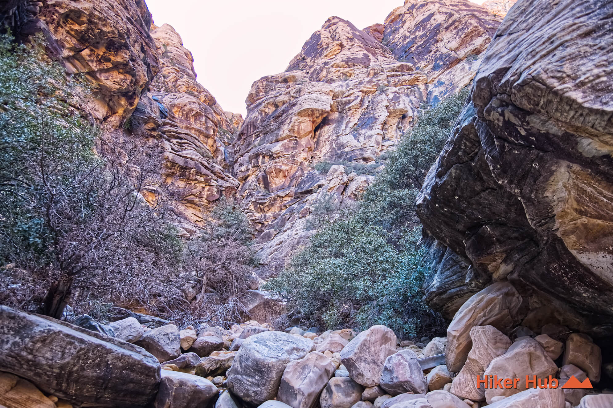
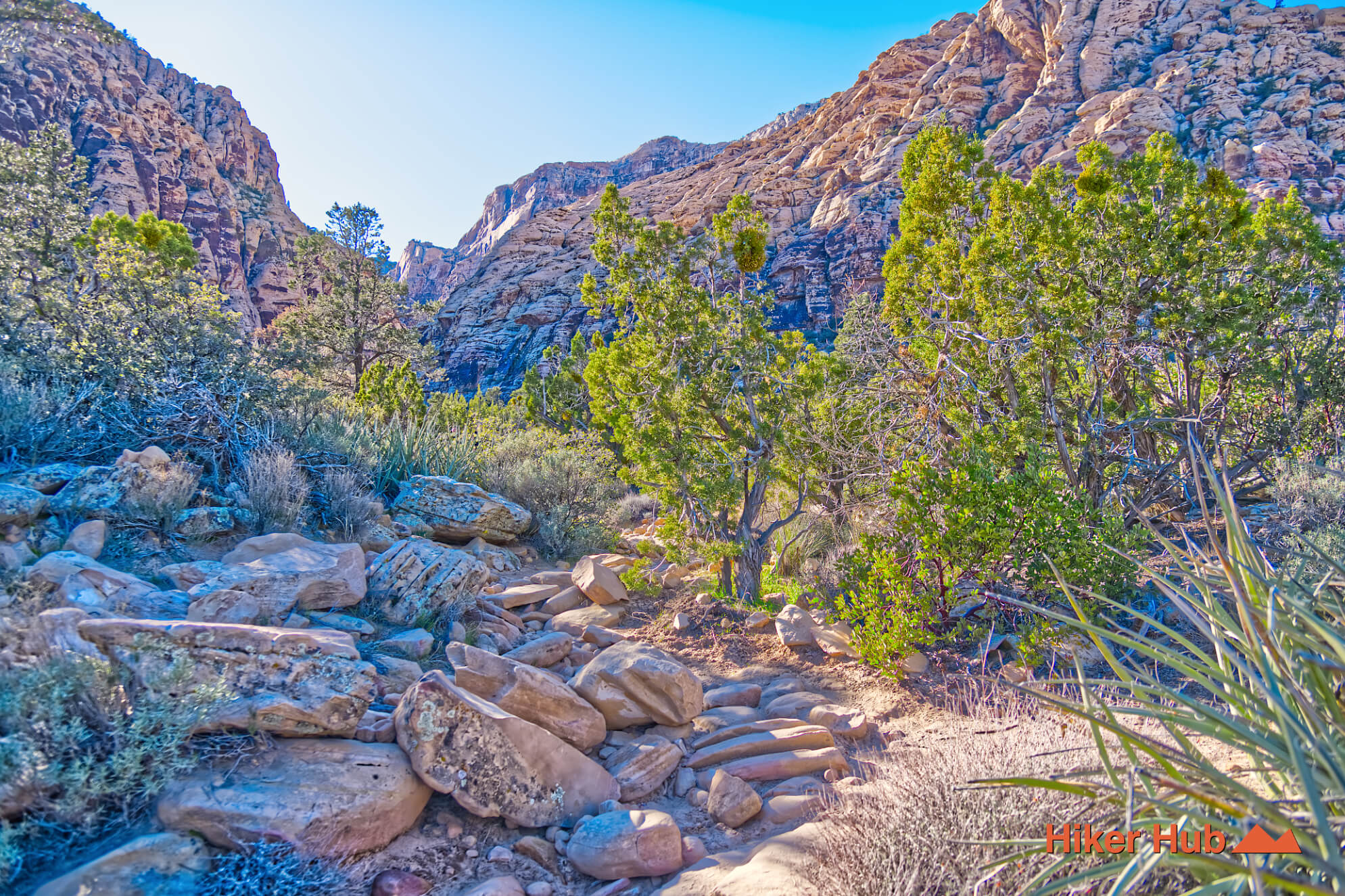
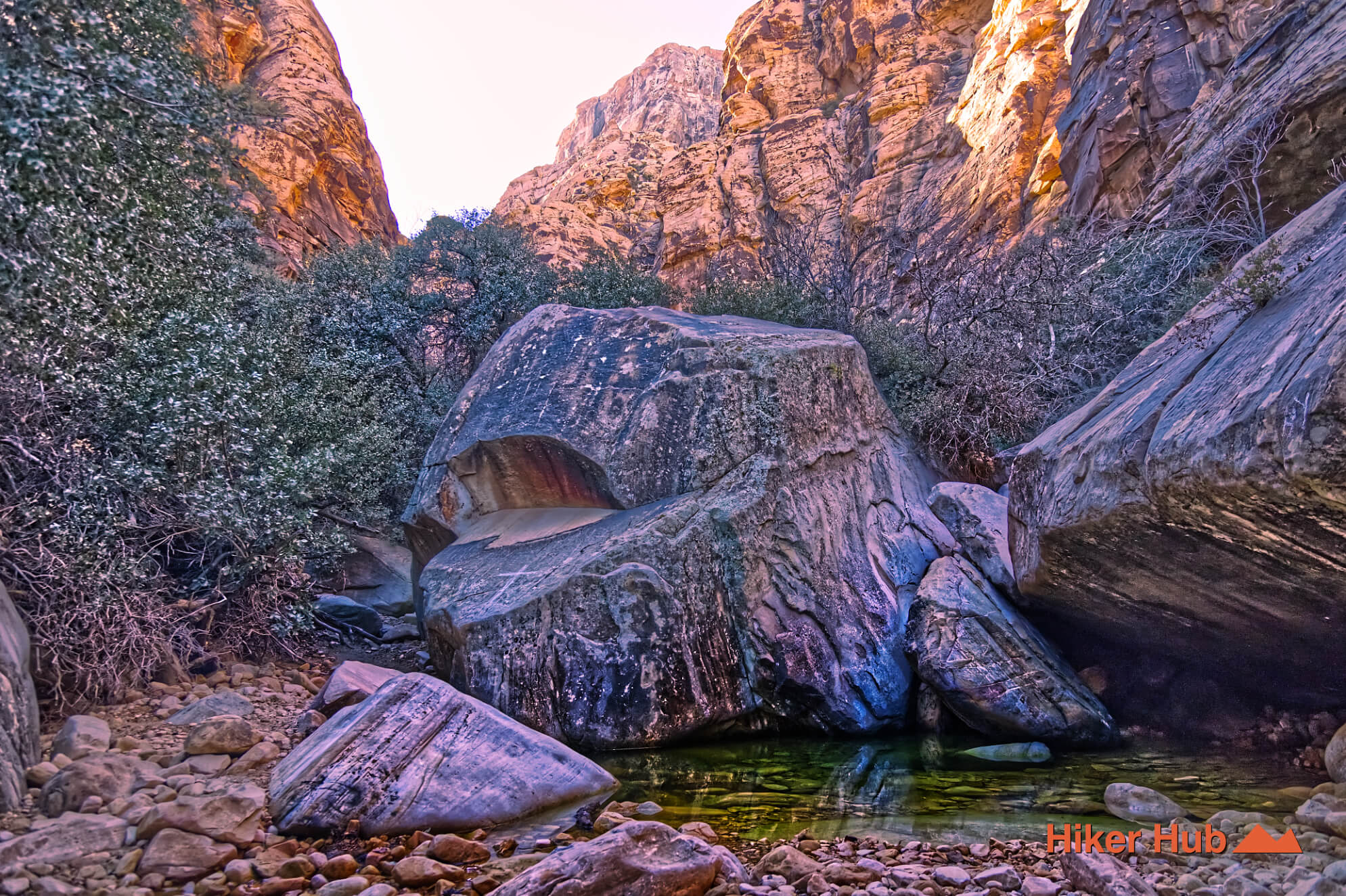
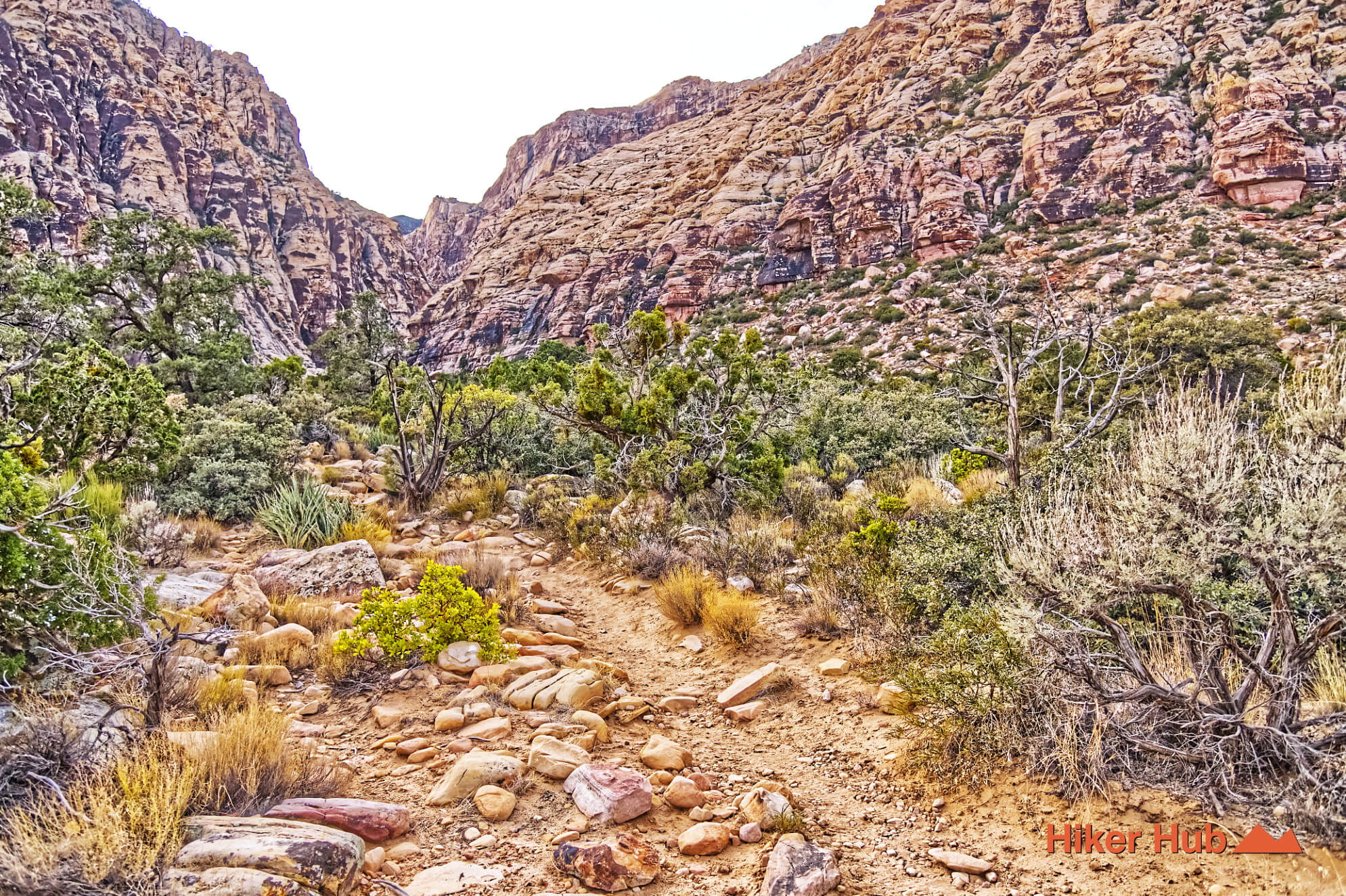
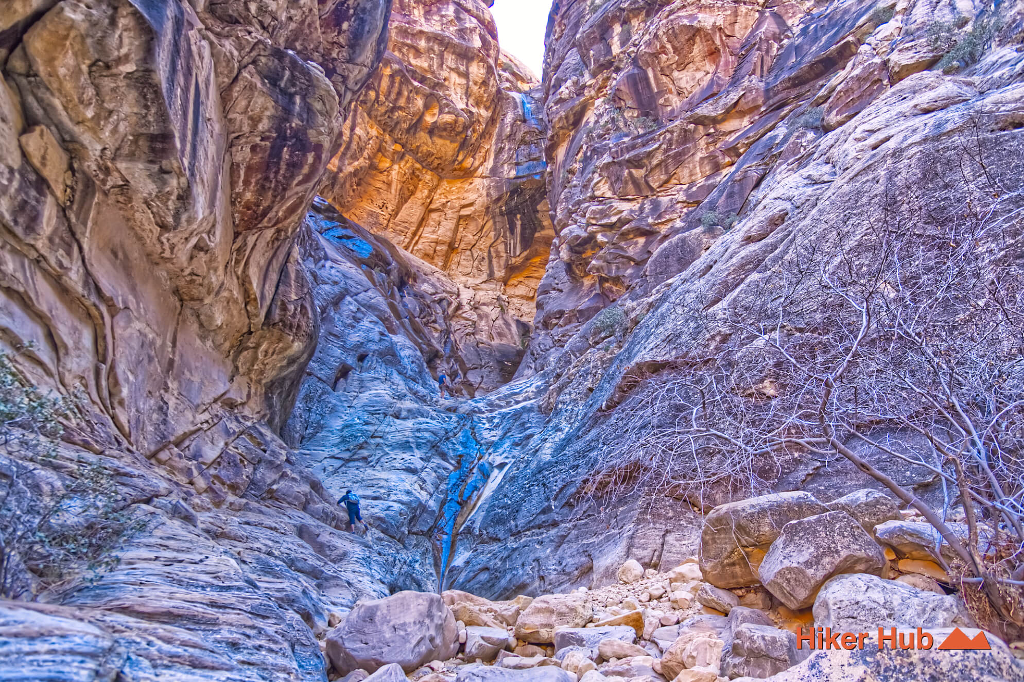
Ice Box Canyon is one of the most dramatic temperature-shift hikes in Red Rock Canyon Nevada. The route crosses exposed desert from the Scenic Loop, enters a narrowing sandstone canyon, and eventually gives way to a boulder-filled corridor where shade, trapped cool air, and lingering moisture create a noticeably different microclimate. The first portion follows a recognizable trail; the upper canyon requires boulder hopping and careful navigation. After wet weather, seasonal pools or a waterfall may appear, but water is never guaranteed.
The trailhead sits on the western half of the Red Rock Canyon Scenic Loop beneath the high escarpment. Dale’s Trail connects Ice Box Canyon with Pine Creek Canyon, while Grand Circle Loop passes through the broader area. Ice Box is a major destination in its own right and can be crowded during cool weekends, especially after storms when visitors hope to see running water.
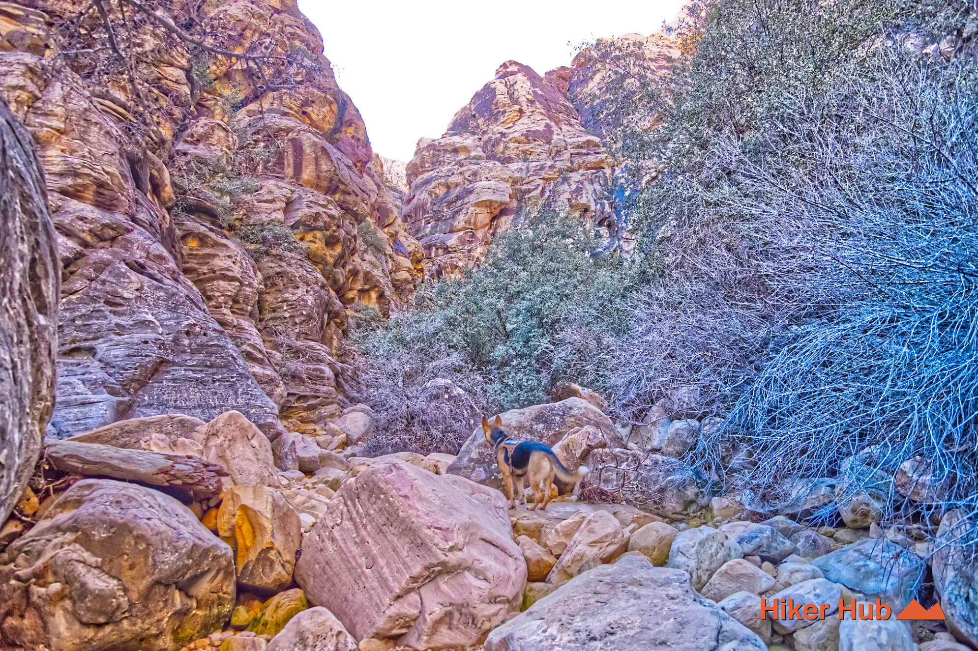
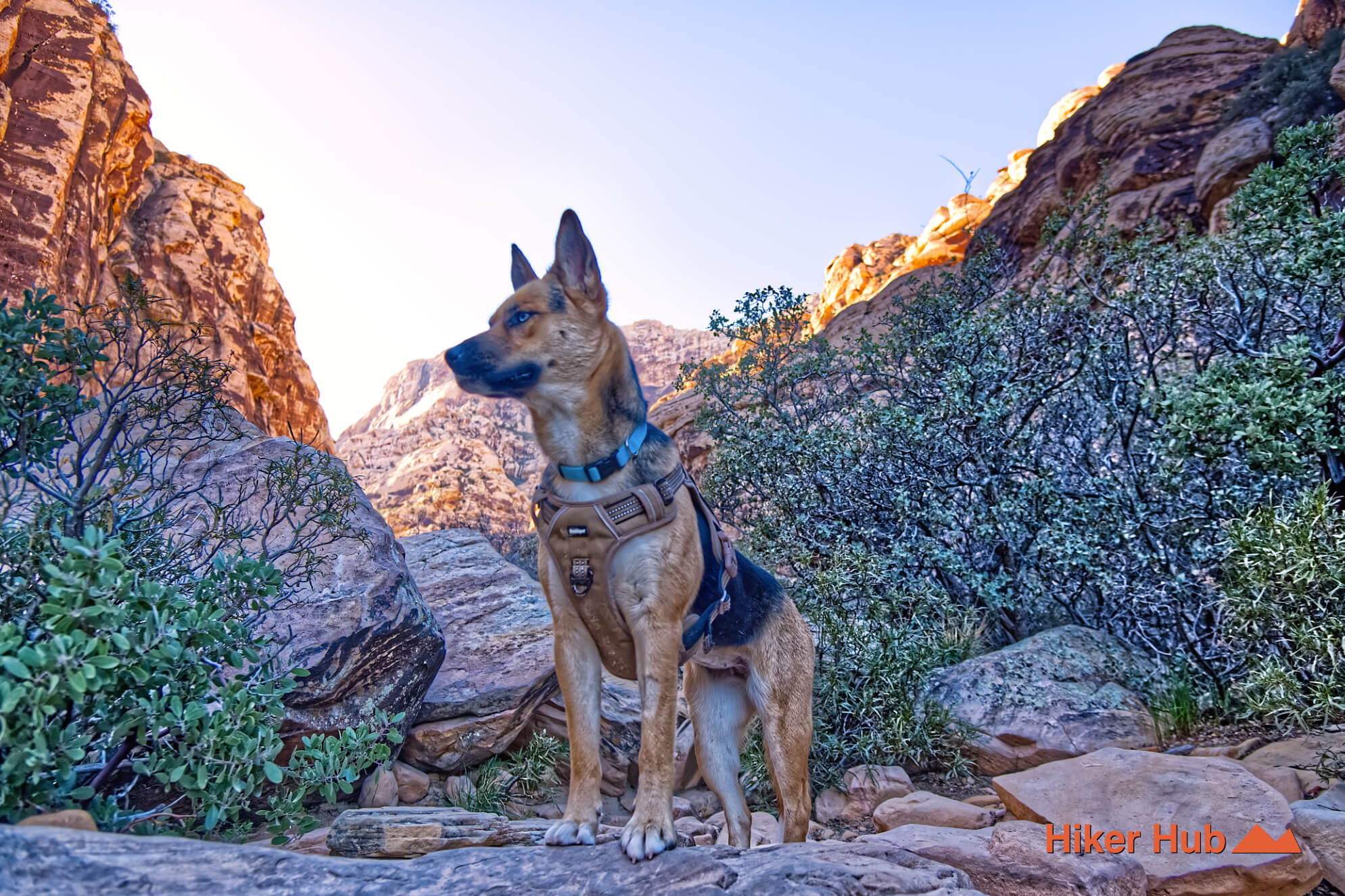
The route is open and sunny, so the cool canyon does not protect hikers during the entire outing. Once inside, walls block direct light for much of the day. The contrast is the trail’s defining high point and can feel remarkable even when no waterfall is present. Sections of the trail are ideal for very well behaved dogs, as shown in this video.
A narrow canyon receives less direct sunlight than the surrounding desert. Massive walls also limit air circulation, while shaded rock and soil release heat more slowly. Water from rain and snowmelt can persist in pockets, cracks, and pools after exposed terrain has already dried. Those conditions support denser vegetation and create the “ice box” effect that gives the canyon its name.
Cooler does not mean perfect conditions. Temperatures can still easily reach triple digits on the way in, and the canyon can become a flash-flood channel during storms. Never enter when rain threatens the drainage, even when the sky immediately overhead appears clear. Water may be falling far upstream in the mountains.
The enormous boulders in the upper canyon record many separate rockfall events rather than one simple collapse. Moving among them requires three-point contact, patience, and a willingness to change directions when the next move exceeds your comfort level.
Dark streaks on the canyon walls may include mineral staining and desert-varnish processes associated with water, manganese, iron, dust, and long-term surface chemistry. They're not indicative that rocks are dirty or burned. The patterns reinforce the same story visible throughout the canyon: water acts slowly most of the time and violently during rare floods, reshaping sandstone over immense spans of time.
The lower trail is appropriate for hikers comfortable with rocky desert floor. The upper pool or waterfall extension is better for average hikers who can climb over large boulders without relying on a perfectly marked route. Families should choose a conservative turnaround before the boulder field becomes difficult. Dogs may struggle on the upper route because of sharp rock, gaps, and required lifts.
Late autumn through early spring provides the best temperatures. Winter offers the strongest chance of cool conditions and seasonal water, while spring can be beautiful but busy. Arrive near Scenic Drive opening time or visit on a weekday to reduce parking problems and congestion in the canyon. Do not assume that recent rain makes the hike automatically better; saturated rock, runoff, cold water, and flash-flood danger can make it worse. The broader mountain landscape of Nevada explains why weather at elevation can affect a canyon even when Las Vegas looks dry.
Recommended gear
Gear picks are matched to this route using distance, difficulty, terrain, and desert conditions.
Disclosure: some links may be affiliate links. Red Rock Hiker Hub may earn a commission at no extra cost to you.
Footing
Better traction helps on loose gravel, sandstone, rocky washes, and steeper trails.
View trail shoesWater carry
Useful for exposed desert routes where one small bottle is not enough.
View hydration packsShade
Simple shade matters on open desert terrain, sandstone slabs, and long approaches.
View hiking hatsSun protection
A lightweight sun layer is one of the most useful pieces of gear for Red Rock exposure.
View sun hoodiesSafety
Worth carrying for cactus spines, scrapes, blisters, and minor trail injuries.
View first aid kitsPhone backup
Useful when taking photos, checking maps, or spending a long day outside.
View power banks