Water carry
3L Hydration Pack
Useful for exposed desert routes where one small bottle is not enough.
View hydration packsRed Rock Canyon, Las Vegas
2.01 miles • Easy • Trail
Conditions, access, and regulations can change. Always verify current information and assess safety before visiting.
Offline maps coming soon. Be first to access downloadable routes.
Some listings may be paid partnerships.
Know a useful stop near this trail? Suggest a business
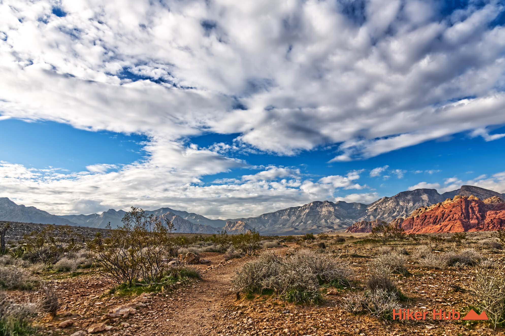
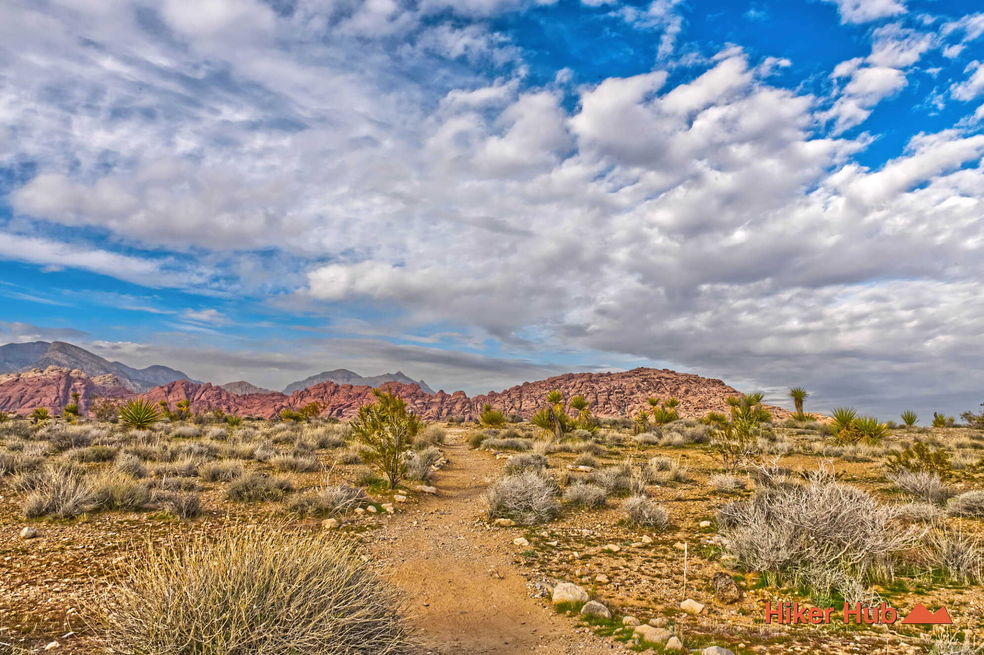
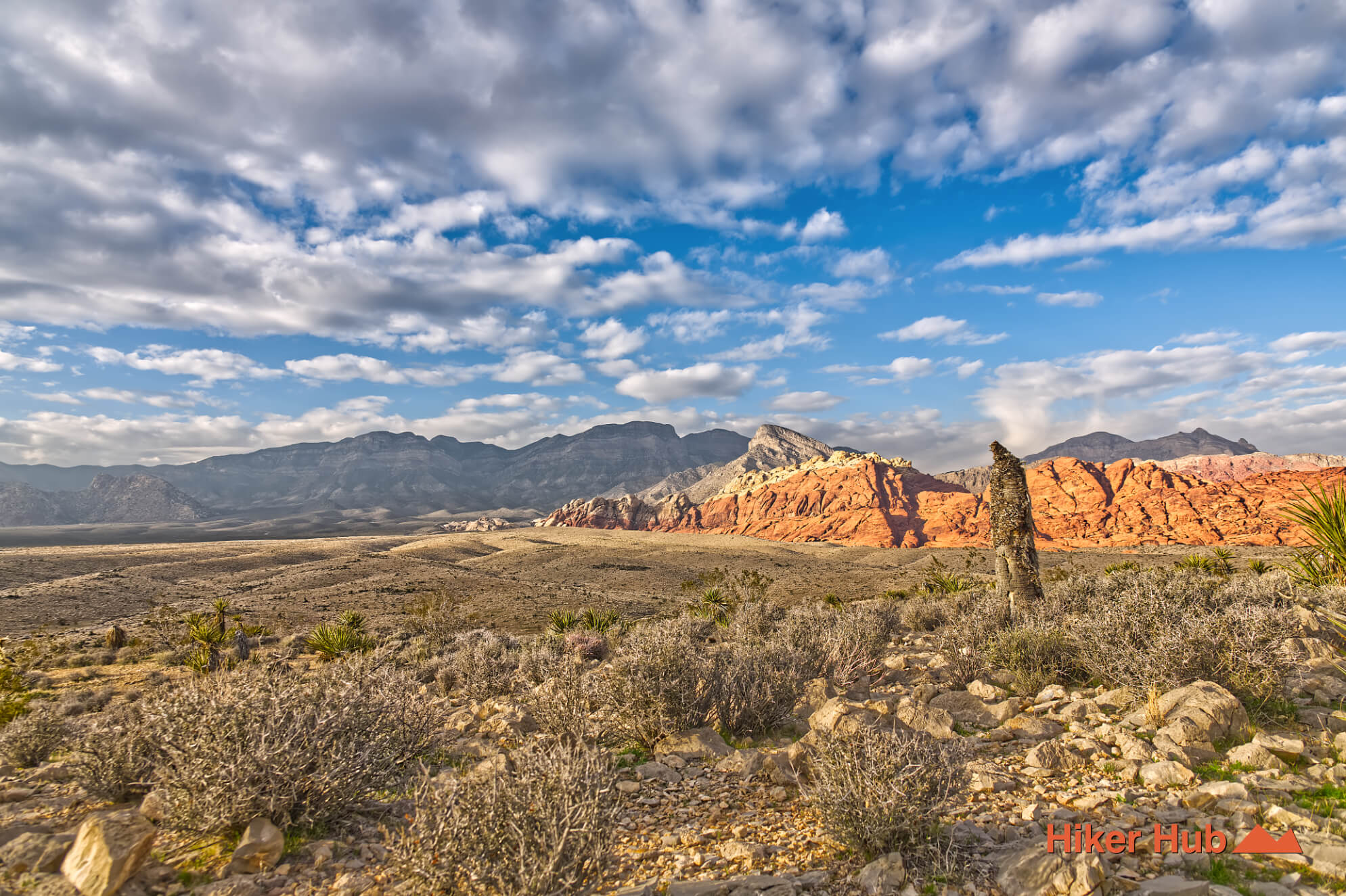
Moenkopi Trail is an easy loop beginning beside the Red Rock Canyon Visitor Center. It provides wide-open views of the Calico Hills, Turtlehead Peak, the limestone mountains, and the central desert without requiring a steep climb or difficult scrambling. Because the route starts at the visitor center and can be shortened easily, it is one of the best introductions to Red Rock Canyon geology for families, beginners, photographers, and travelers fitting a short hike into a Scenic Loop visit.
The trail leaves directly from the Red Rock Canyon Visitor Center near the entrance to the one-way Scenic Drive. It can be combined with the lower end of Calico Hills Trail or used as a warm-up before longer red rock canyon hikes. The location is convenient, but visitors must still account for current entrance hours and timed-entry requirements during the main season.
People sometimes search for “Red Rock Canyon park,” although the official designation is Red Rock Canyon National Conservation Area. Moenkopi is an excellent place to understand that distinction: the visitor center interprets protected public land, geology, wildlife, and cultural resources rather than presenting the area as a conventional city park.
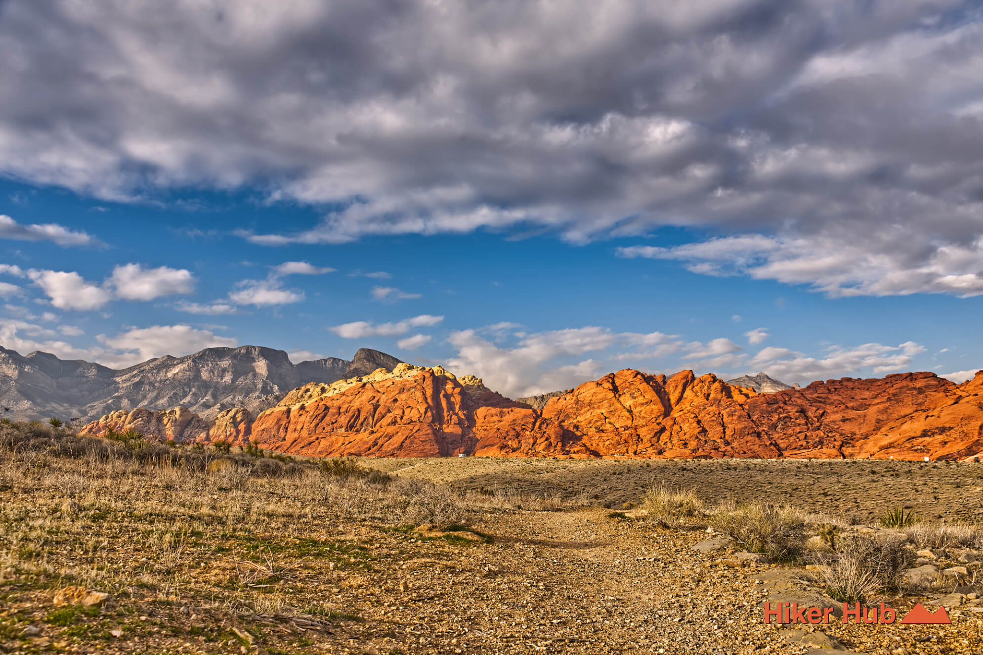
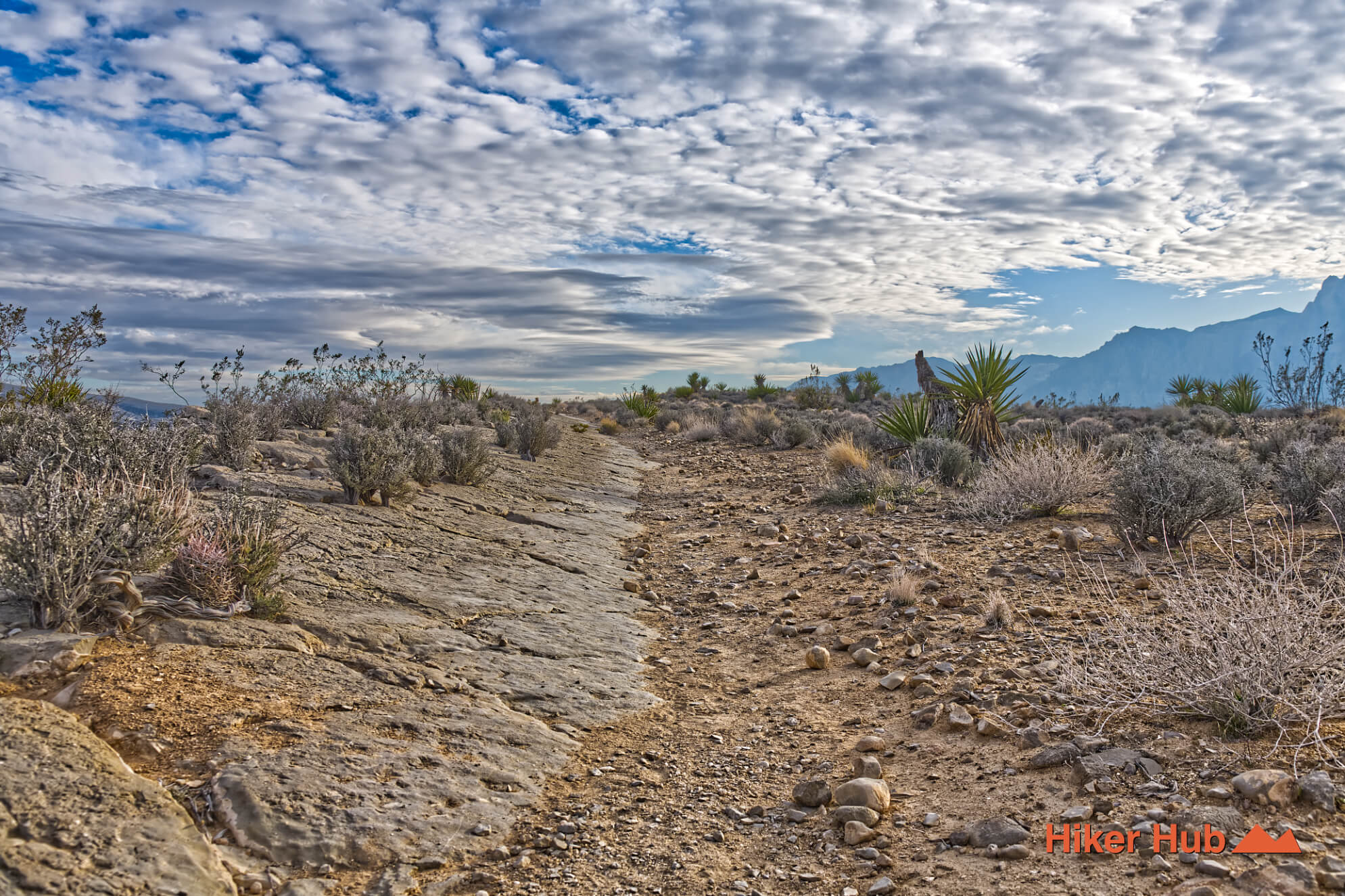
The trail crosses grayish rock associated with the Moenkopi Formation, a very different surface from the red Aztec Sandstone visible across the valley. The route’s geological value comes from contrast. From one easy path, hikers can see younger sandstone cliffs, older gray mountain rock, broad alluvial fans, washes, and the layered landscape around Turtlehead Peak.
Marine fossils have been found in rock units exposed along the Moenkopi area, evidence that environments very different from today’s Mojave Desert once occupied this region. Visitors should observe fossils in place and never remove or damage them. The desert may look timeless, but the trail records repeated changes in sea level, climate, sediment, uplift, and erosion.
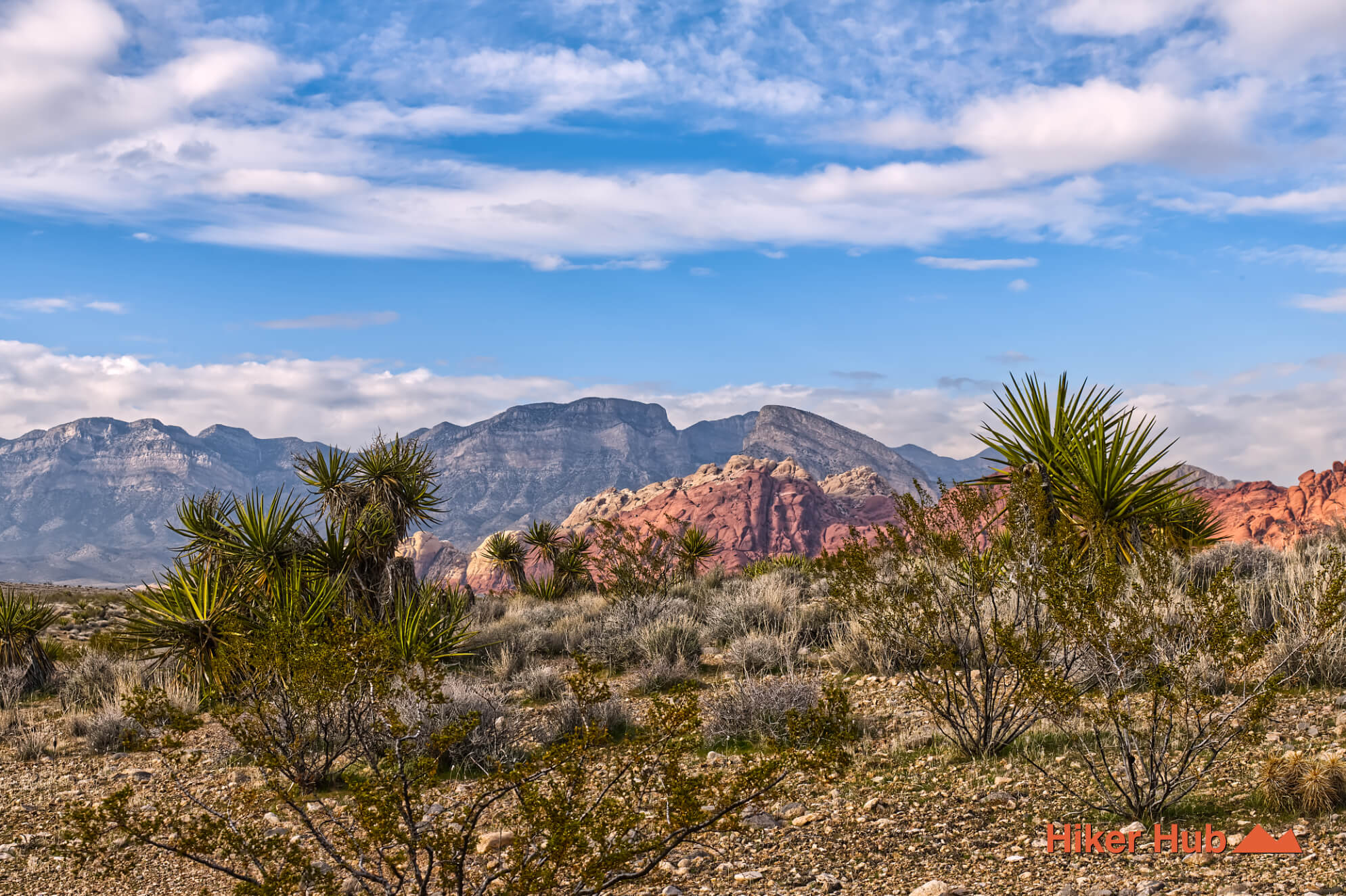
Moenkopi is about space, visibility, and context rather than one enclosed canyon. The open terrain creates clean views in every direction and makes sunrise or late-afternoon light especially effective for photography. Low shrubs, gravelly washes, and exposed rock also provide habitat for lizards, birds, and small mammals. Watch this Las Vegas desert lizard video for a close look at one of the reptiles adapted to the region, or view the longer Moenkopi Trail field video for a route preview.
The trail also gives hikers a useful mental map before entering the rest of the conservation area. Calico Hills lies near the entrance, the escarpment dominates the west, and the Scenic Loop crosses the valley between them. That orientation makes Moenkopi more valuable than its easy difficulty might suggest.
Moenkopi is ideal for children, beginners, older hikers seeking gentle terrain, photographers, geology enthusiasts, and visitors who want a short outing before exploring the visitor center. It is also a good recovery walk after a harder trail. The path remains rocky and exposed, so hiking shoes, water, a hat, and sun protection still matter.
October through May is the best season. Winter mornings can be cold and windy, while spring brings comfortable temperatures and heavier visitation. The trail is close to a busy visitor center but often feels less congested than Calico I, Calico Tanks, or Lost Creek because people spread across the open loop. Start early for softer light and cooler weather. Summer midday hiking is unsafe despite the trail’s easy rating because there is almost no shade.
Nearby options include Calico Hills Trail, Grand Circle Loop, and Calico Tanks. For a broader visual explanation of the surrounding environment, see Nevada Desert Las Vegas.
Recommended gear
Gear picks are matched to this route using distance, difficulty, terrain, and desert conditions.
Disclosure: some links may be affiliate links. Red Rock Hiker Hub may earn a commission at no extra cost to you.
Water carry
Useful for exposed desert routes where one small bottle is not enough.
View hydration packsShade
Simple shade matters on open desert terrain, sandstone slabs, and long approaches.
View hiking hatsSun protection
A lightweight sun layer is one of the most useful pieces of gear for Red Rock exposure.
View sun hoodiesSkin protection
Small, easy to carry, and useful on nearly every Southern Nevada trail.
View SPF essentialsFooting
Better traction helps on loose gravel, sandstone, rocky washes, and steeper trails.
View trail shoesHeat support
Helpful on hot days, longer hikes, and steep routes where plain water may not be enough.
View electrolytes