Water carry
3L Hydration Pack
Useful for exposed desert routes where one small bottle is not enough.
View hydration packsRed Rock Canyon, Las Vegas
1.15 miles • Easy • Trail
Conditions, access, and regulations can change. Always verify current information and assess safety before visiting.
Offline maps coming soon. Be first to access downloadable routes.
Some listings may be paid partnerships.
Know a useful stop near this trail? Suggest a business
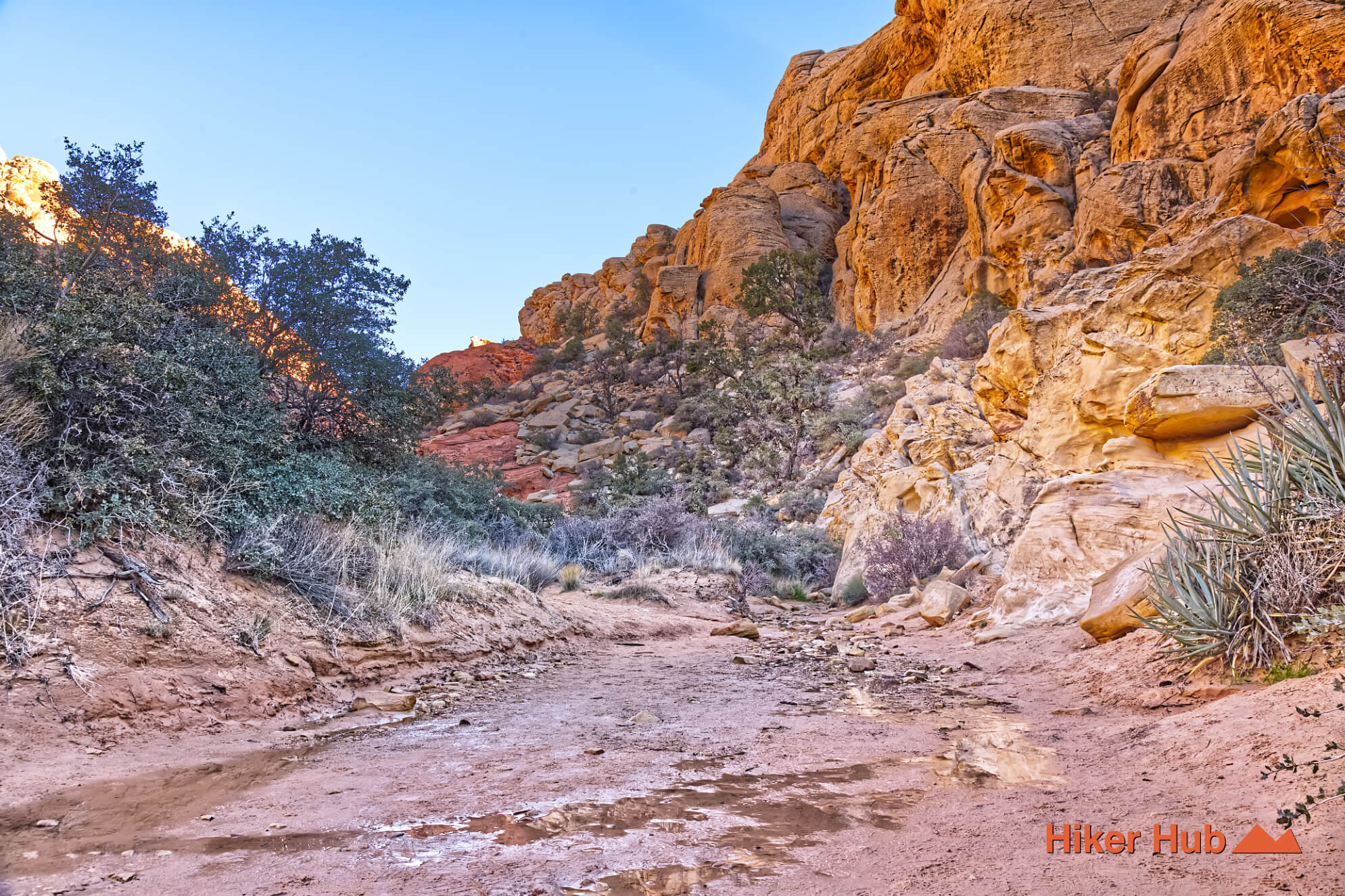
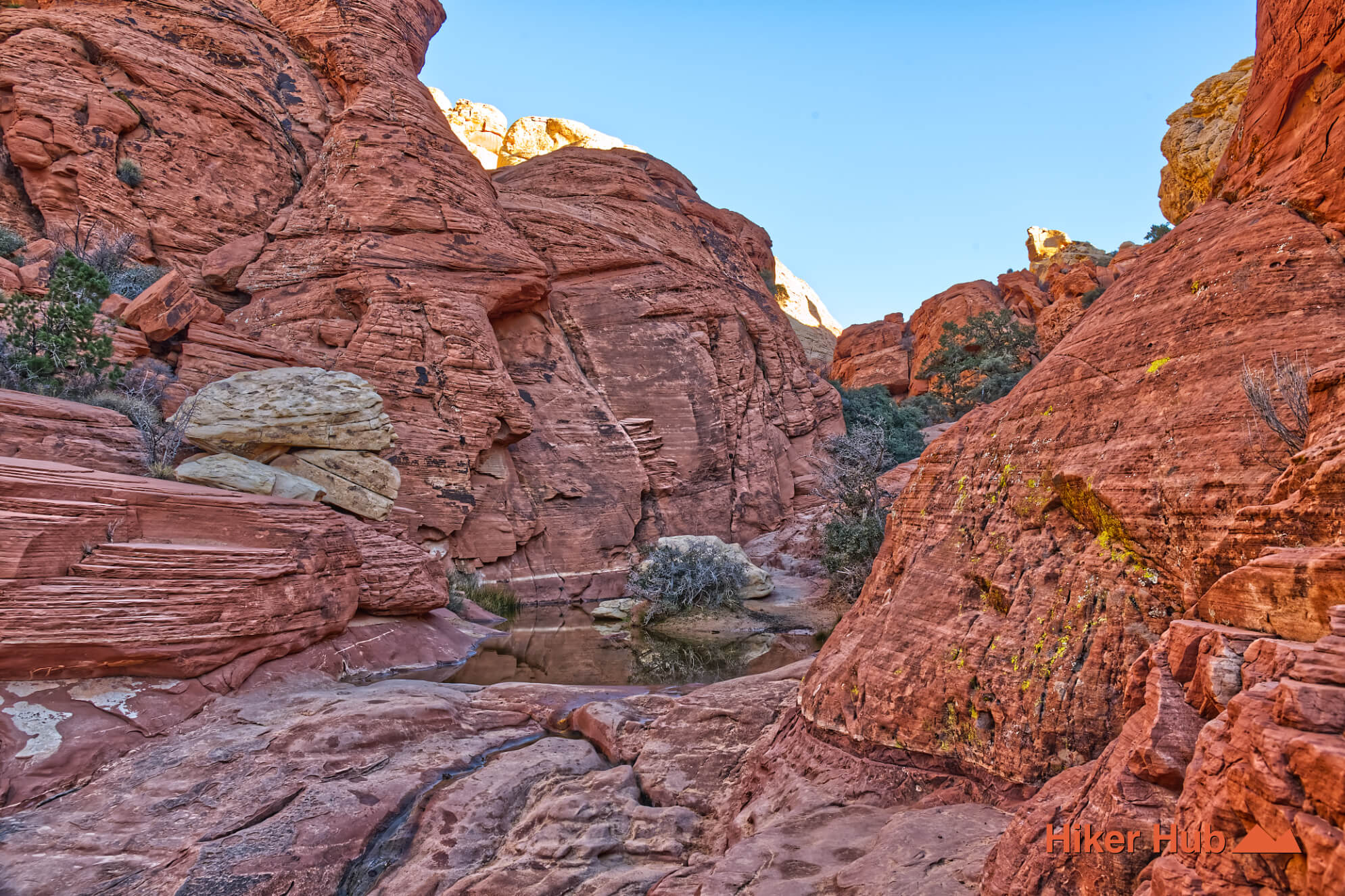
The Calico Tanks Trail is one of three pillars of Red Rock Canyon National Conservation Area. The other two are Turtlehead Peak and Ice Box Canyon. The name comes from the Calico Mountains and “tanks"—a geological term for natural sandstone formations that collect water. These seasonal pools can appear along the Calico Tanks Trail itself and also in the broader area via Red Cap, depending on rainfall.
This video shows a dog running around one of these seasonal tanks. These water catchments are natural sandstone formations and depressions eroded into the Navajo Sandstone by water and wind. They collect and hold rainwater and flash flood runoff. Because the sandstone is relatively impermeable in these depressions, the water can sit for weeks or even months after a rain, creating isolated pockets of life in the desert.
These tanks are critical oases for wildlife, serving as drinking holes for bighorn sheep, mule deer, rabbits, and various bird species. You might also find aquatic insects or tadpoles in them shortly after rains.
It's important to note that the water in these tanks is not potable (safe to drink) without proper filtration and treatment, as it can contain bacteria from animal droppings or debris.
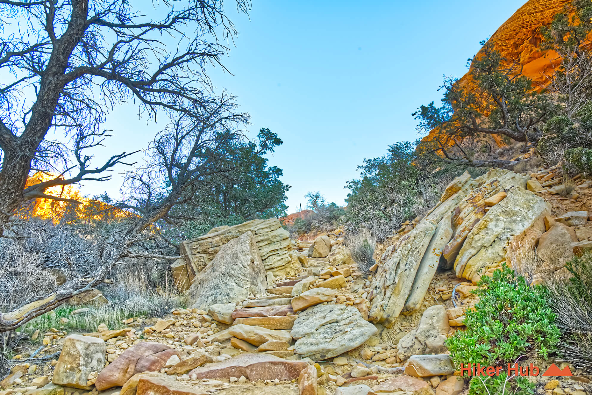
The trail takes roughly 45 minutes each way and contains elaborate sandstone formations. The Sandstone Quarry parking lot is routinely crowded, so arriving early is essential—otherwise you risk a full lot. Having a backup plan in case parking is unavailable is essential. Big holidays bring in floods of visitors making the one way Scenic Loop far more crowded than usual.
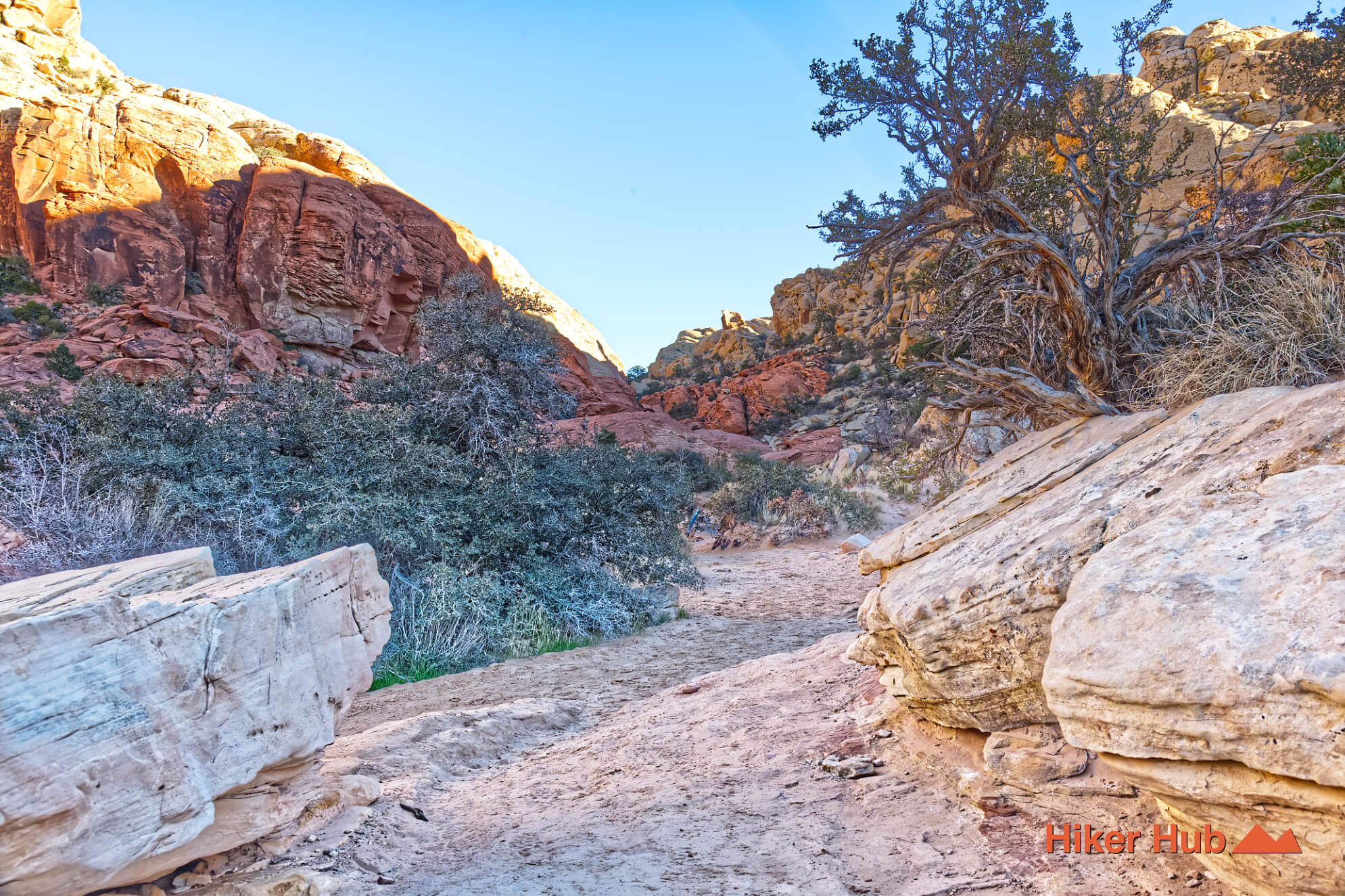
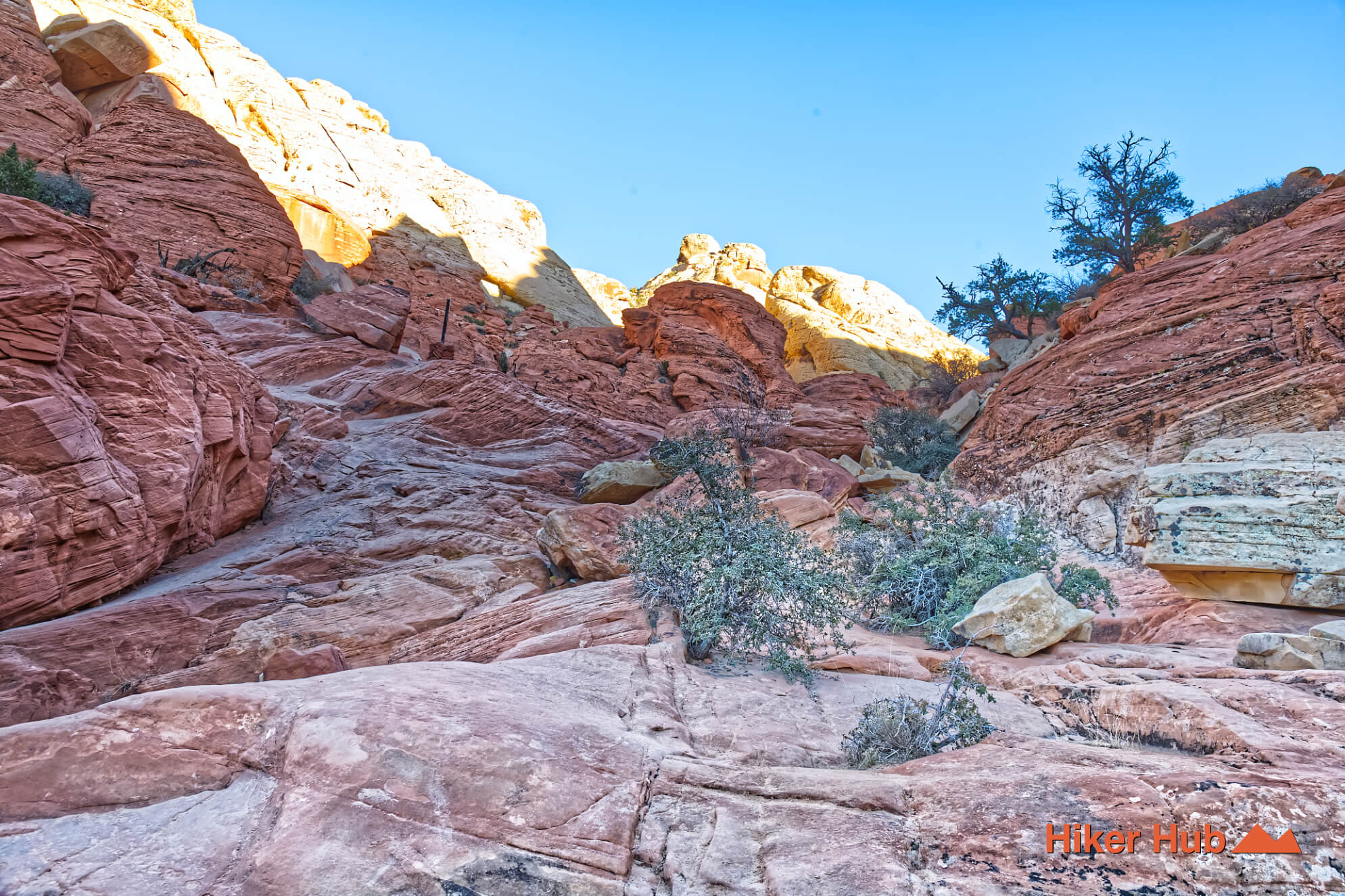
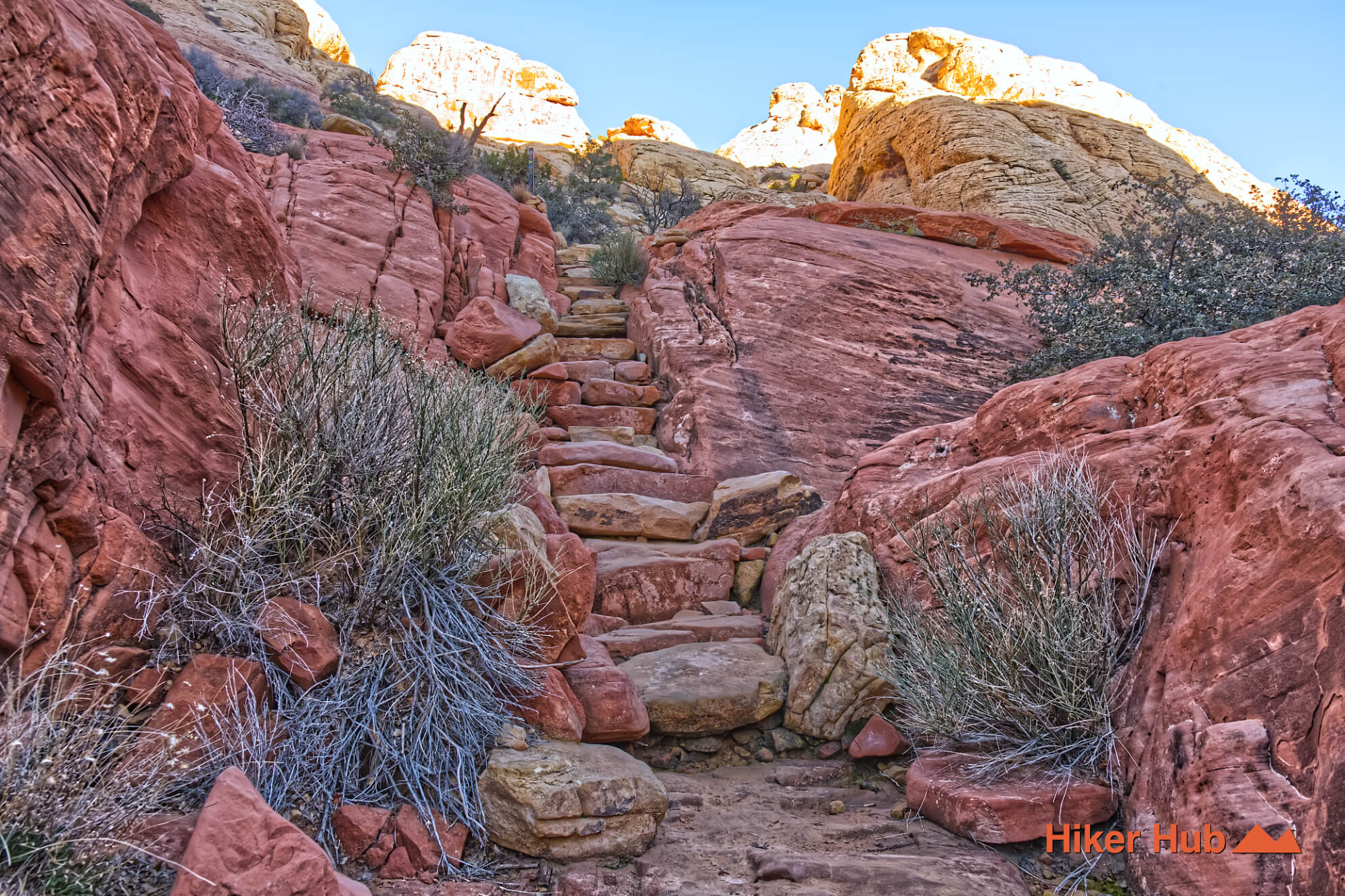
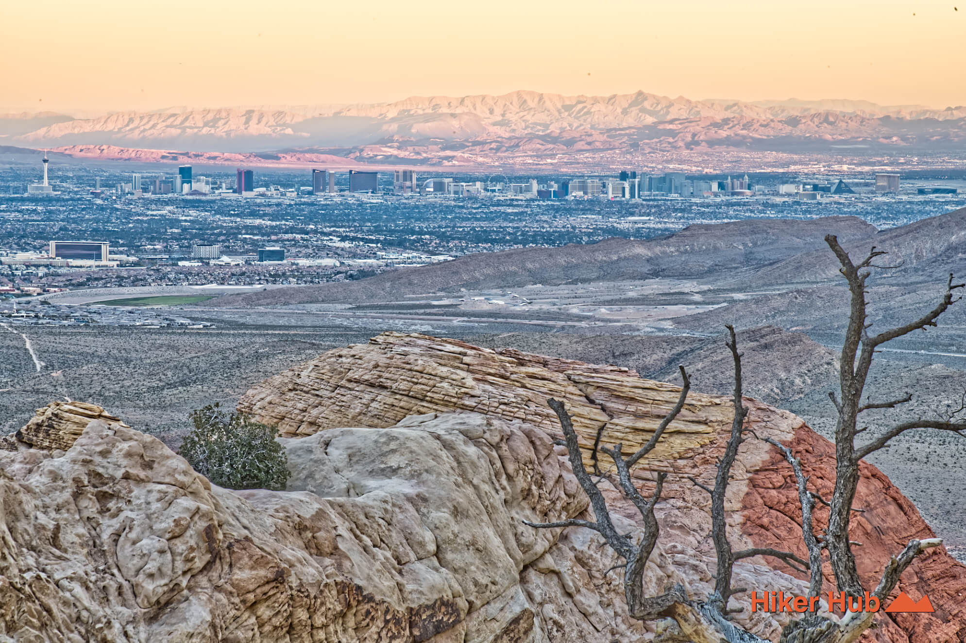
The Calico Tanks hike is a popular trail that leads hikers up a progressively steep, rocky path to reach these pools. Of which offer a rare view of water in the high desert and a panoramic vista of the valley below. The payoff at the end is the kind of view that defines Red Rock Canyon: a wide, open look over the Las Vegas Valley coupled with dramatic canyon walls. It’s a hike that feels iconic in both directions—and its popularity reflects that.
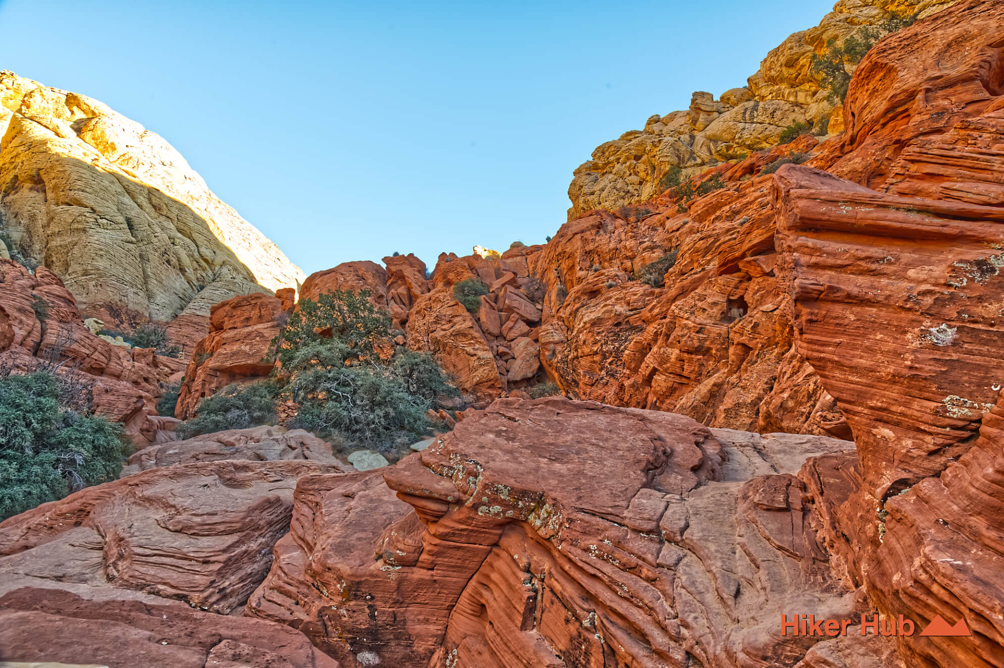
Many millions of years ago, this area was not a rocky canyon—but a vast, arid desert similar to the modern-day Sahara. Massive sand dunes, some reaching heights of hundreds of feet, migrated across the region. As wind blew sand up the faces of these dunes, it created layers of sand. Looking at the red and white striped walls along the trail, you're looking at these ancient dune faces frozen in stone. The distinct layering often curves, showing the original shape of the dunes.
Over millions of years, the weight of new sand layers buried the old ones. Groundwater rich in minerals (iron oxide) percolated through the sand. The iron oxide acted as a cement, gluing the sand grains together to form sandstone. The varying amounts of iron oxide created the different shades of red, orange, and white. The colors often appear in horizontal bands where groundwater once flowed, oxidizing the iron in specific zones.
As the Colorado Plateau uplifted, the rock layers were pushed upward. This uplift created immense stress, causing the hard sandstone to crack in a grid-like pattern known as joints. These joints became the primary pathways for water and wind erosion. The "tanks" themselves are a result of varied levels of erosion acting on the jointed sandstone. As water pooled, it would trap sediment and debris. Swirling currents (often during flash floods) would grind the sediment against the rock floor, slowly drilling out the depressions.
The White Rock Hills Loop on the other hand contains an abscence of iron oxide. The sand grains that formed these dunes were almost pure quartz. Quartz is naturally colorless to white. The red sand in this region is most likely weathered rock from the surrounding cliffs or nearby red sandstone formations.
The Calico Tanks trail in Red Rock Canyon is famous for its multicolored rocks providing beautiful examples of the regions origins. White rock is pure quartz sandstone with little iron. Red/orange indicates sandstone cemented with iron oxide (rust).
Recommended gear
Gear picks are matched to this route using distance, difficulty, terrain, and desert conditions.
Disclosure: some links may be affiliate links. Red Rock Hiker Hub may earn a commission at no extra cost to you.
Water carry
Useful for exposed desert routes where one small bottle is not enough.
View hydration packsShade
Simple shade matters on open desert terrain, sandstone slabs, and long approaches.
View hiking hatsSun protection
A lightweight sun layer is one of the most useful pieces of gear for Red Rock exposure.
View sun hoodiesFooting
Better traction helps on loose gravel, sandstone, rocky washes, and steeper trails.
View trail shoesSkin protection
Small, easy to carry, and useful on nearly every Southern Nevada trail.
View SPF essentialsHeat support
Helpful on hot days, longer hikes, and steep routes where plain water may not be enough.
View electrolytes