Footing
Rocky-Terrain Trail Shoes
Better traction helps on loose gravel, sandstone, rocky washes, and steeper trails.
View trail shoesRed Rock Canyon, Las Vegas
2.18 miles • Hard • Trail
Conditions, access, and regulations can change. Always verify current information and assess safety before visiting.
Offline maps coming soon. Be first to access downloadable routes.
Some listings may be paid partnerships.
Know a useful stop near this trail? Suggest a business
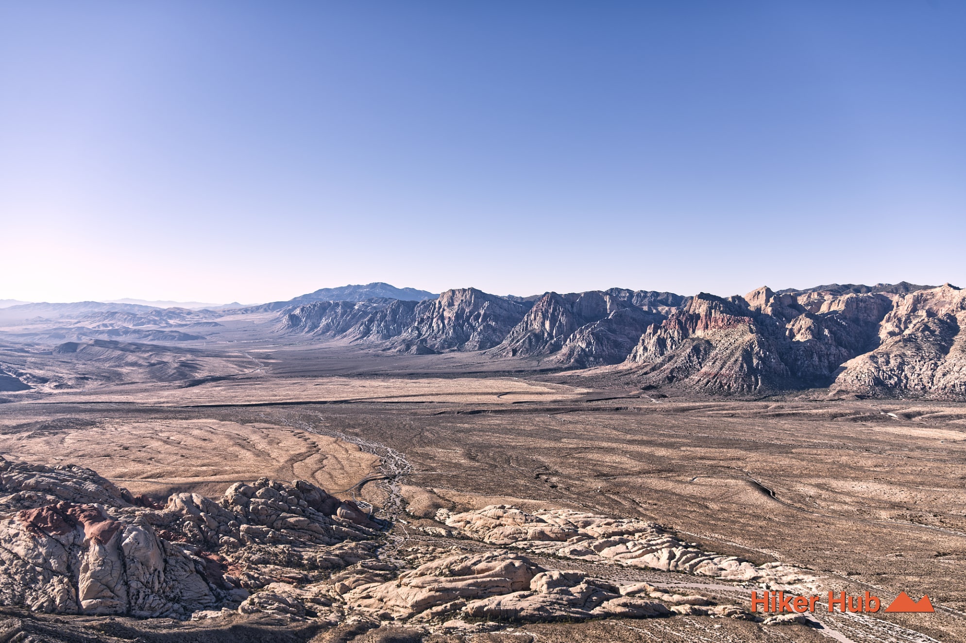
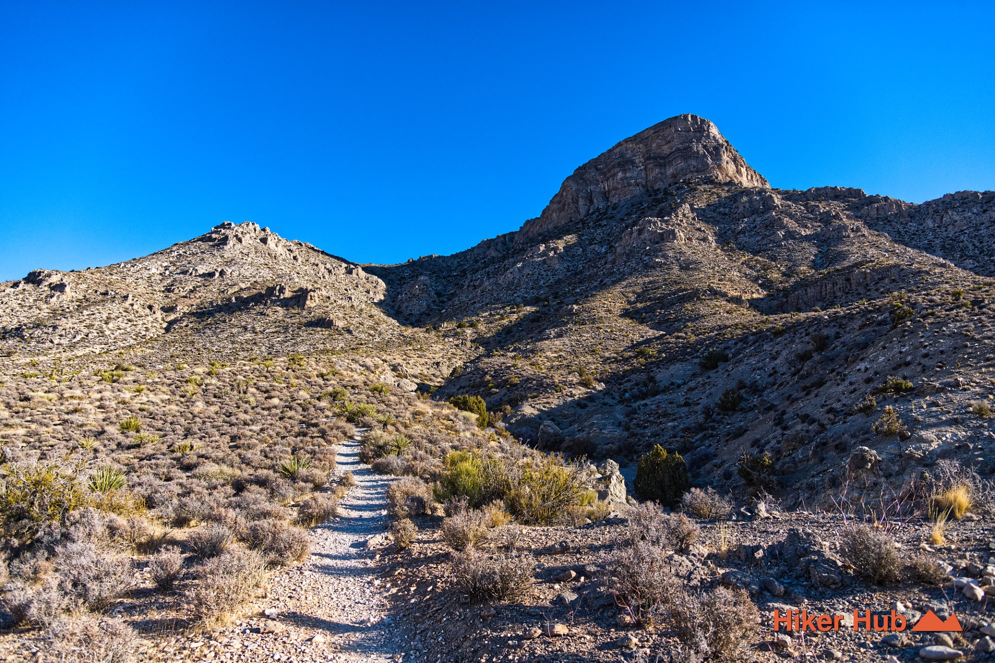
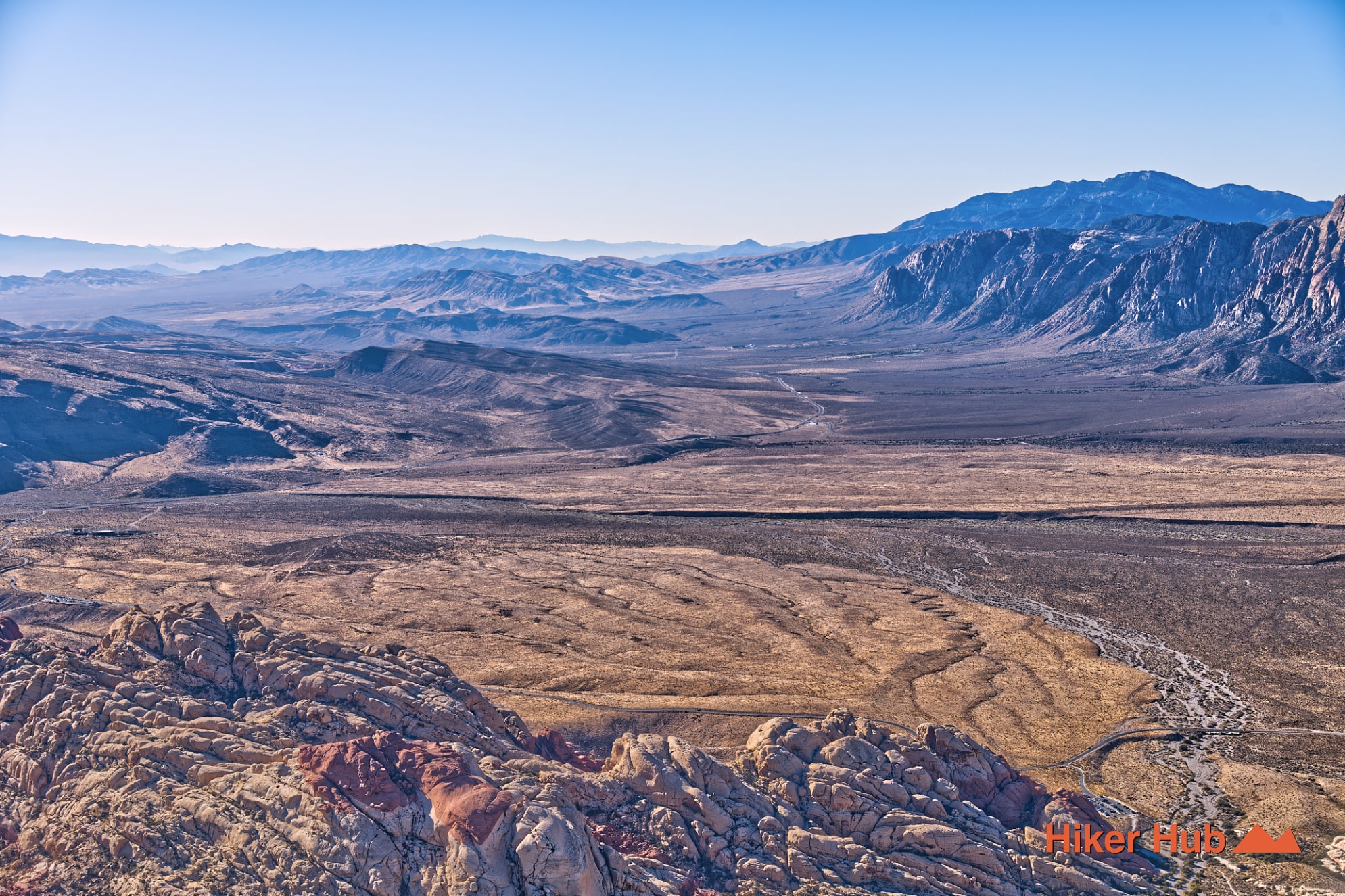
Turtlehead Peak is one of the most demanding recognized trails on the Red Rock Canyon Scenic Loop. Beginning at Sandstone Quarry, the route climbs from a wash through open foothills, enters a steep limestone gulch, reaches a saddle, and finishes on loose rock above 6,300 feet. The official trail is roughly a half-day undertaking with more than 2,000 feet of elevation gain. Its high point is obvious: a summit panorama over the Calico Hills, Kraft Mountain, Blue Diamond Hill, the Las Vegas Valley, and much of Clark County.
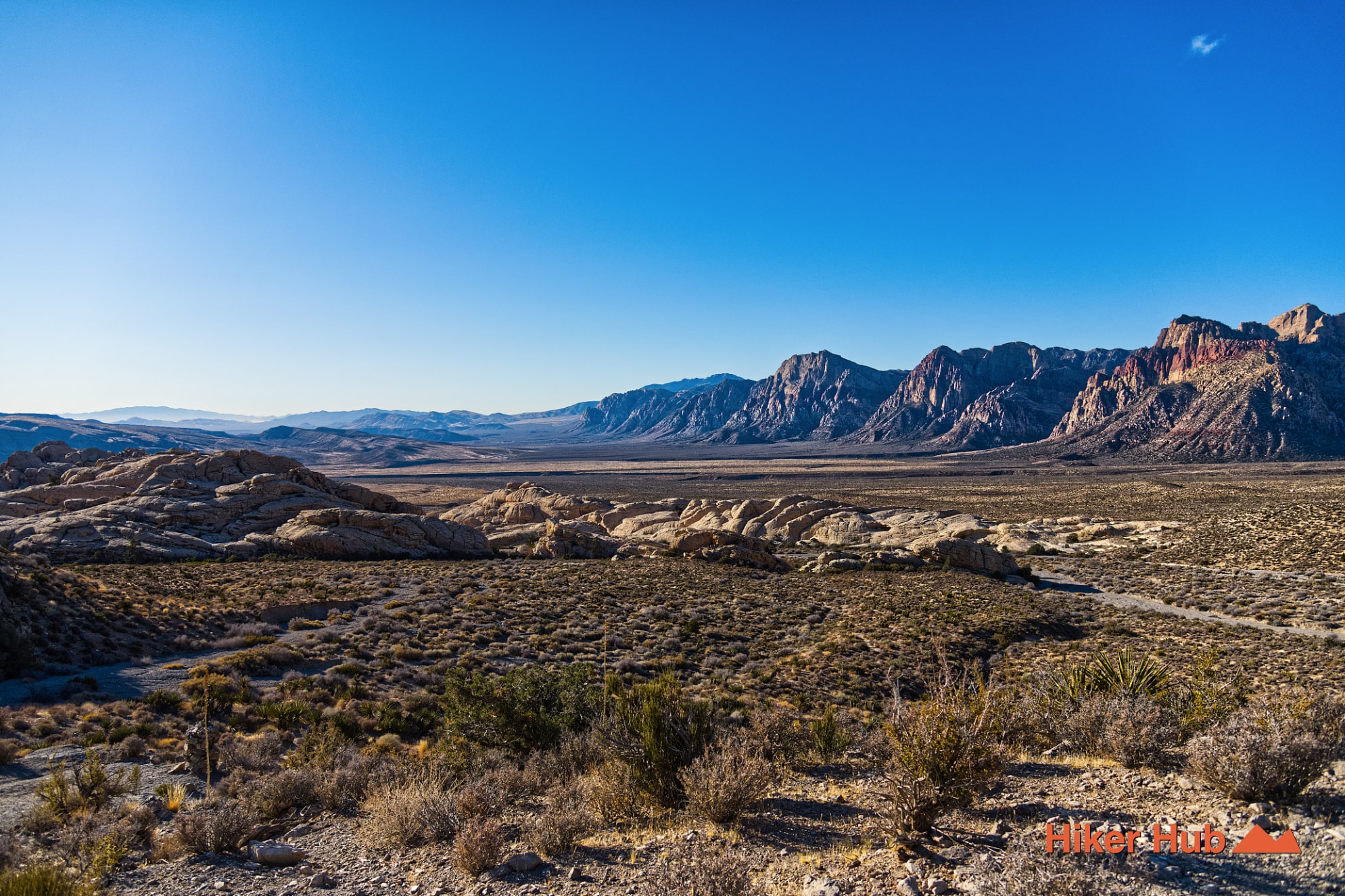
Turtlehead Peak shares the Sandstone Quarry parking area with Calico Tanks. The two routes separate early: Calico Tanks draws a larger share of casual visitors, while Turtlehead continues toward a much steeper objective. The lot can fill quickly on cool weekends and holidays, so arrive early and confirm current Red Rock Canyon Scenic Loop entry requirements before leaving Las Vegas.
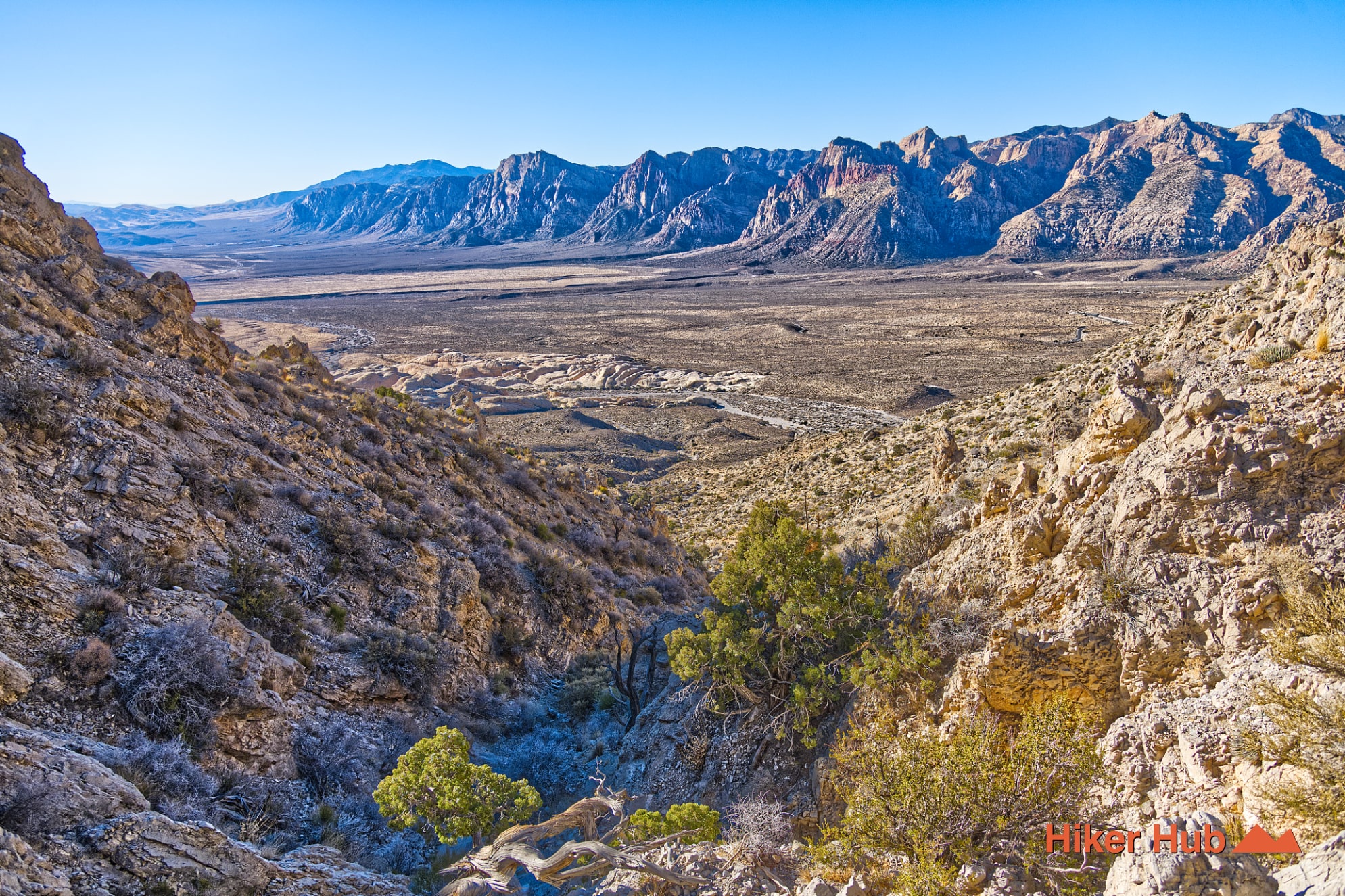
The first section moves through a wash and gradual foothills where the peak can briefly disappear behind lower terrain. That gentle beginning is misleading. Once the trail commits to the gulch, elevation arrives rapidly and the tread becomes intermittent, loose, and easier to lose on the descent.
This Turtlehead Peak field video shows the scale and effort of the climb better than a mileage number alone.
Turtlehead is built largely from older limestone and dolostone associated with ancient marine environments, while the Calico Hills below are Jurassic Aztec Sandstone formed from windblown dunes. Regional thrust faulting placed older carbonate rock against or above younger sandstone, creating one of the defining geological contrasts in Red Rock Canyon Nevada.
From the trail, gray rock underfoot frames red, orange, cream, and white sandstone below. The Red Sandstone photo story shows the dune-derived layers, while Turtlehead provides the high-angle perspective needed to see those formations as part of a much larger mountain system.
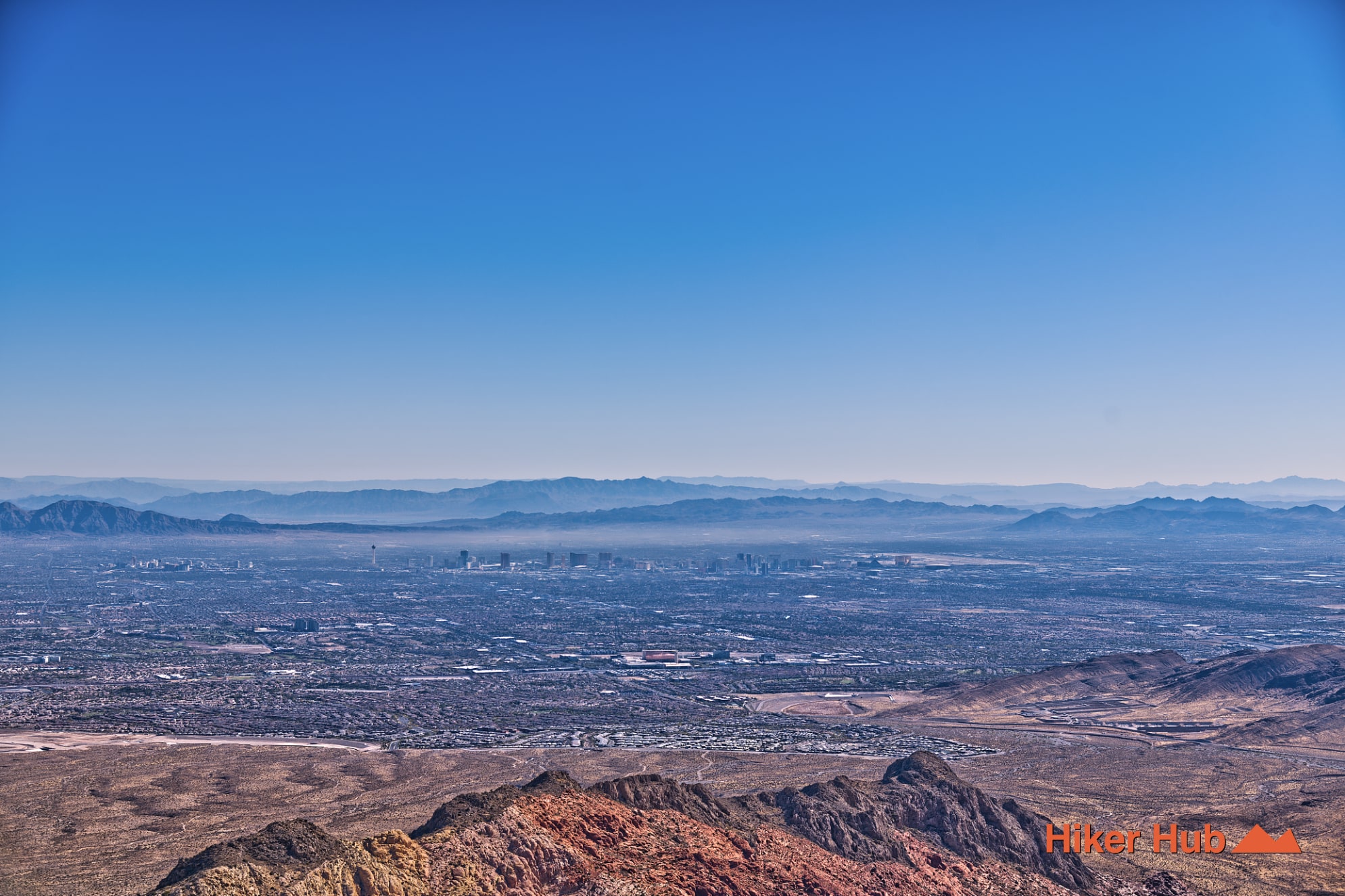
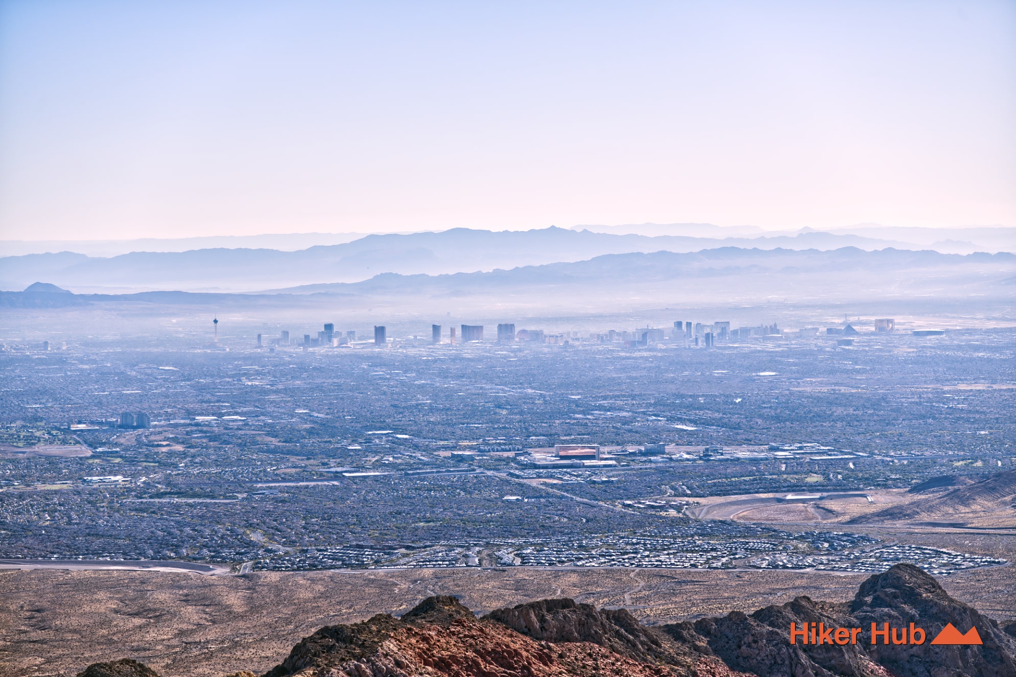
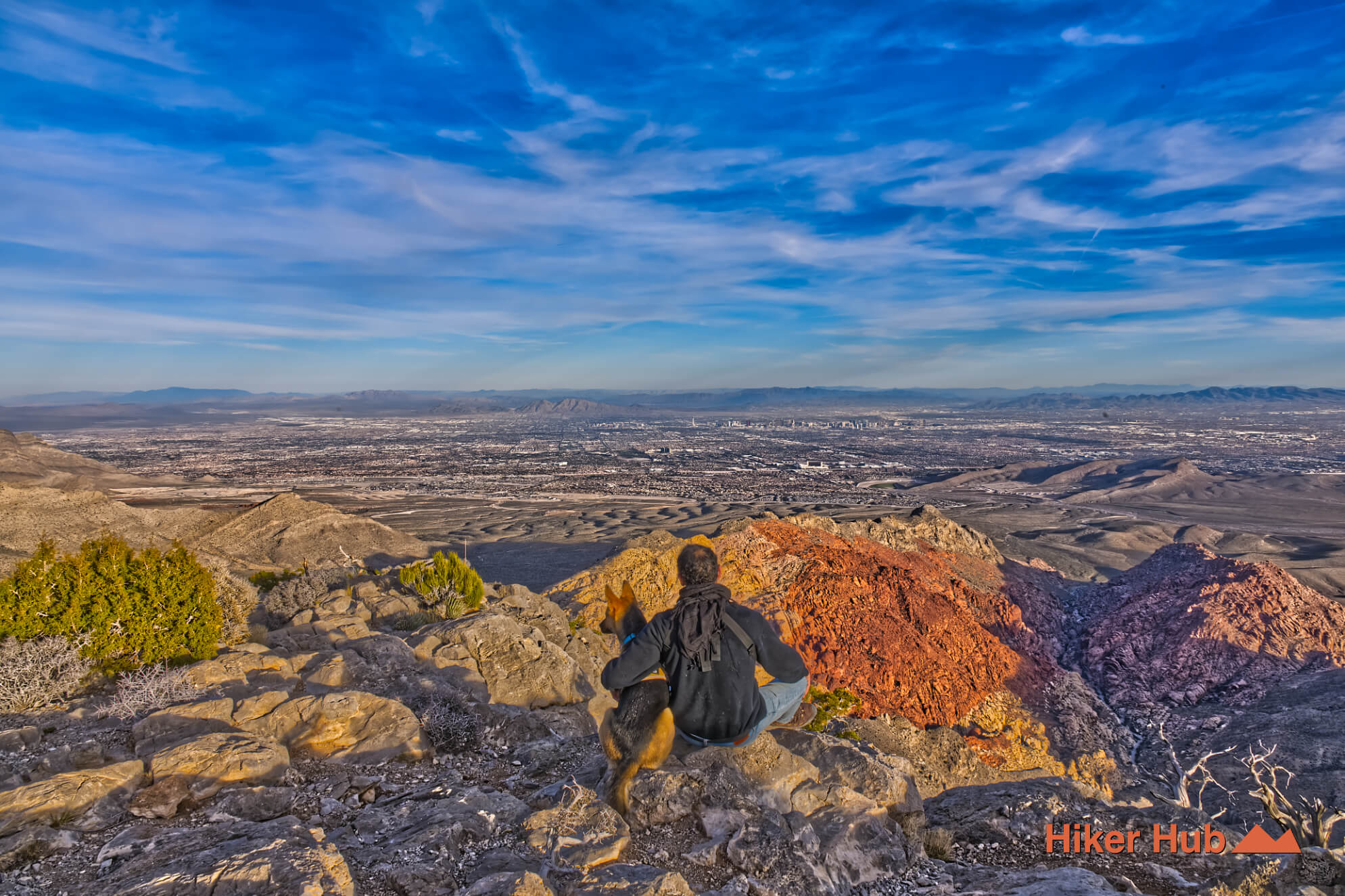
The summit is a true Red Rock Canyon overlook. Henderson, central Las Vegas, the Strip, northwest neighborhoods, and distant desert ranges can all appear in one sweep. Red Rock Casino lies below the eastern side, Kraft Mountain sits near the base of the Calico country, and Blue Diamond is visible farther south. On clear days the pyramid of the Luxor Hotel can be identified within the Vegas skyline. The Clark County photo story gives additional context to the enormous basin spread below.
North Peak is higher and substantially longer, but Turtlehead delivers a comparable sense of elevation with direct access from the Scenic Loop. That effort-to-view ratio explains its dedicated following among experienced Red Rock Canyon hikers.
Loose rock, steep grades, route-finding, and sustained exposure make Turtlehead strenuous even without technical climbing. The descent can be harder than the ascent because multiple gullies and faint lines look plausible from above. Do not follow another group blindly. Confirm landmarks, carry a downloaded map, and bring a headlamp.
Wind can be intense at the saddle and summit, while winter shade may hold snow or ice. Hiking shoes or boots should provide ankle stability and traction. Carry layers, food, and more water than a shorter Calico hike. Turn around when weather, daylight, or fatigue removes the safety margin.
October through April is best, with cool spring and late-autumn days often ideal. Winter can be excellent but much colder and windier than the Red Rock Canyon Visitor Center. Summer heat on the lower approach is dangerous, even when the summit forecast appears cooler.
The Sandstone Quarry area is crowded, but Turtlehead receives fewer hikers than Calico Tanks. Expect company on pleasant weekends and longer quiet stretches on weekdays. This trail is ideal for fit hikers with experience on loose, intermittent mountain routes. It is not the correct choice for someone seeking an easy entry among things to do in Las Vegas. Prepared hikers, however, will find one of the strongest combinations of geology, challenge, introspection, and summit scenery in the Red Rock Canyon conservation area.
Recommended gear
Gear picks are matched to this route using distance, difficulty, terrain, and desert conditions.
Disclosure: some links may be affiliate links. Red Rock Hiker Hub may earn a commission at no extra cost to you.
Footing
Better traction helps on loose gravel, sandstone, rocky washes, and steeper trails.
View trail shoesWater carry
Useful for exposed desert routes where one small bottle is not enough.
View hydration packsSafety
Worth carrying for cactus spines, scrapes, blisters, and minor trail injuries.
View first aid kitsShade
Simple shade matters on open desert terrain, sandstone slabs, and long approaches.
View hiking hatsSun protection
A lightweight sun layer is one of the most useful pieces of gear for Red Rock exposure.
View sun hoodiesEarly / late starts
Cheap insurance if a route takes longer than expected or you start before sunrise.
View headlamps