Water carry
3L Hydration Pack
Useful for exposed desert routes where one small bottle is not enough.
View hydration packsRed Rock Canyon, Las Vegas
3.54 miles • Easy • Trail
Conditions, access, and regulations can change. Always verify current information and assess safety before visiting.
Offline maps coming soon. Be first to access downloadable routes.
Some listings may be paid partnerships.
Know a useful stop near this trail? Suggest a business
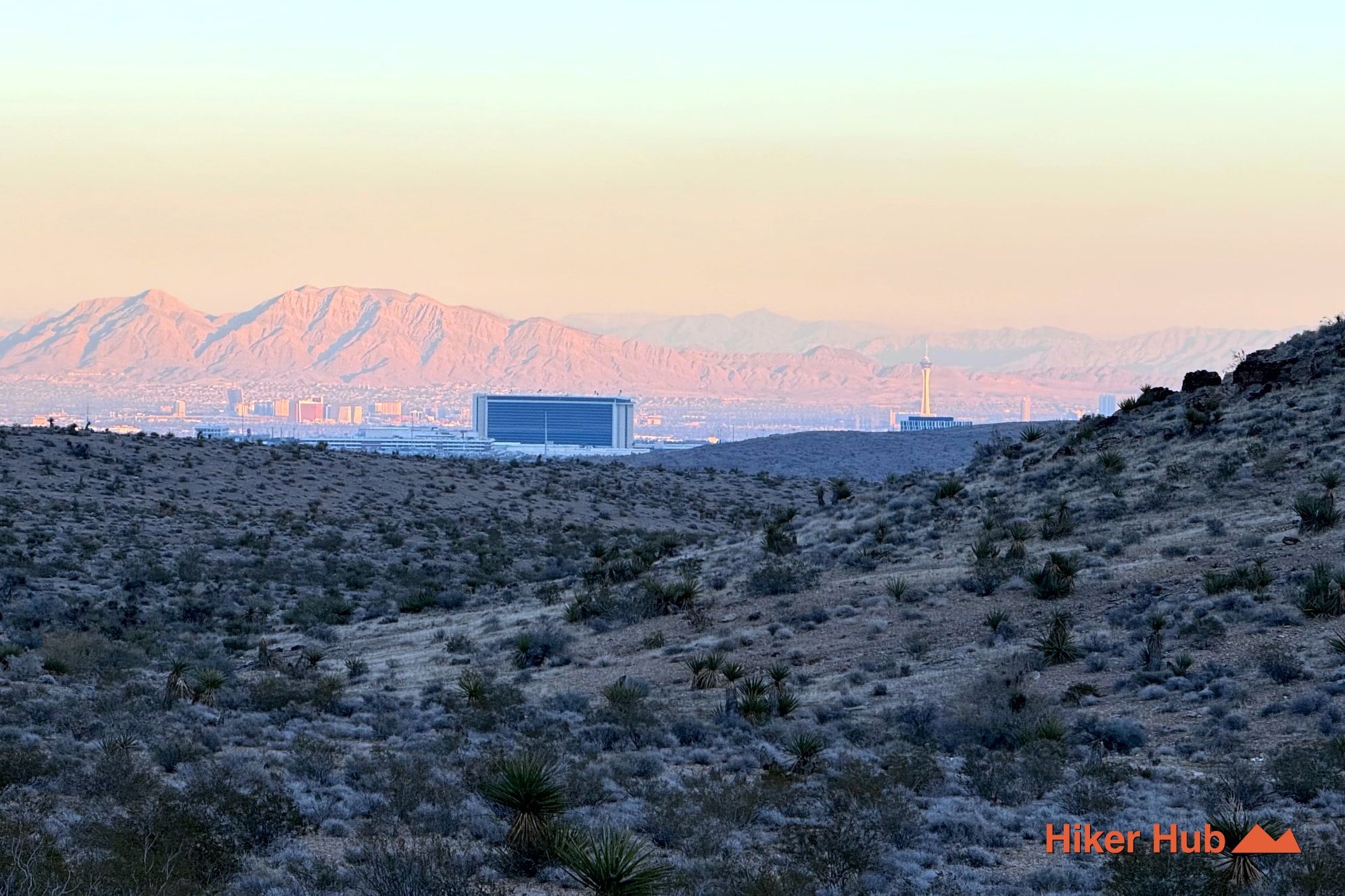
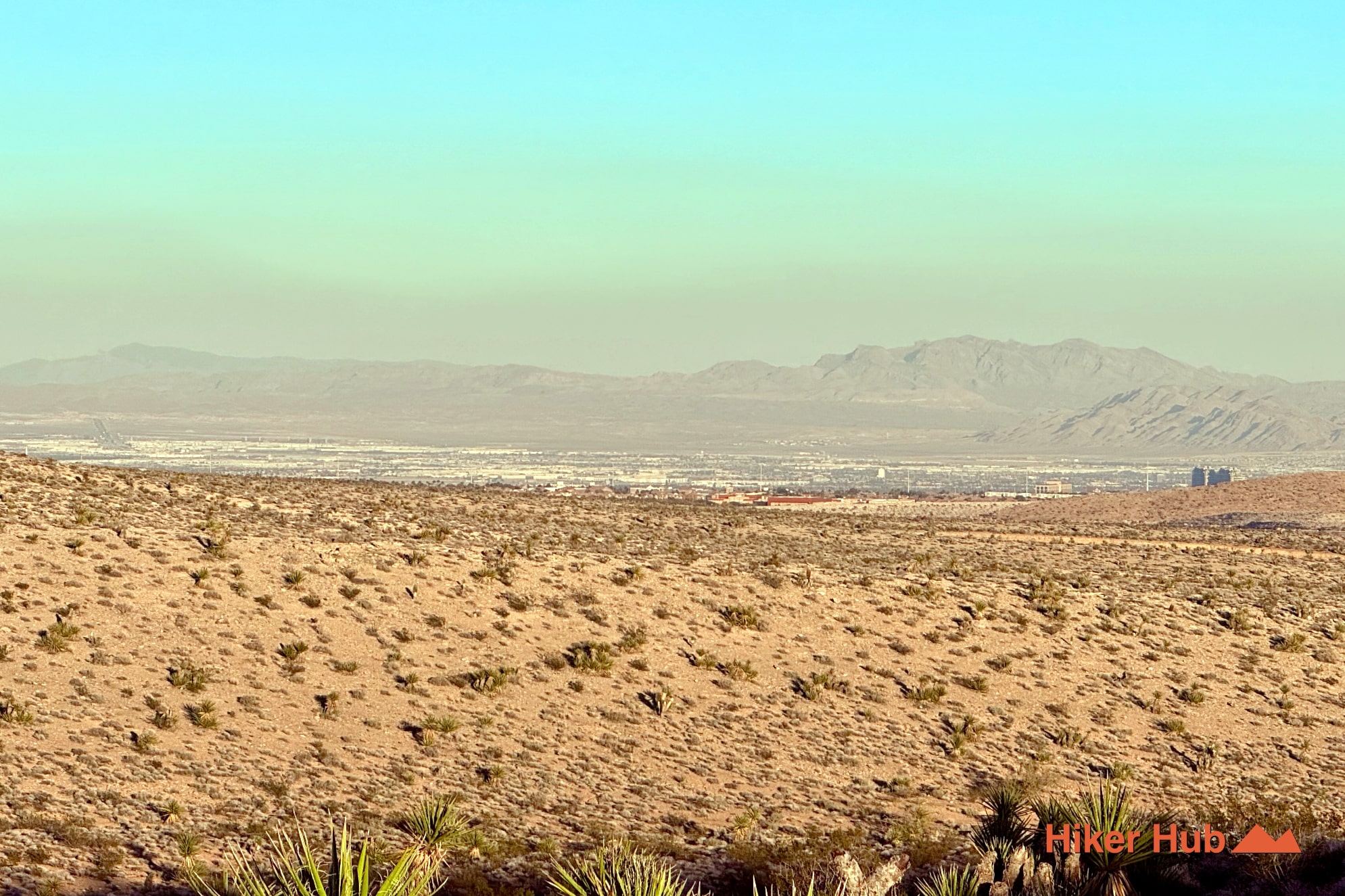
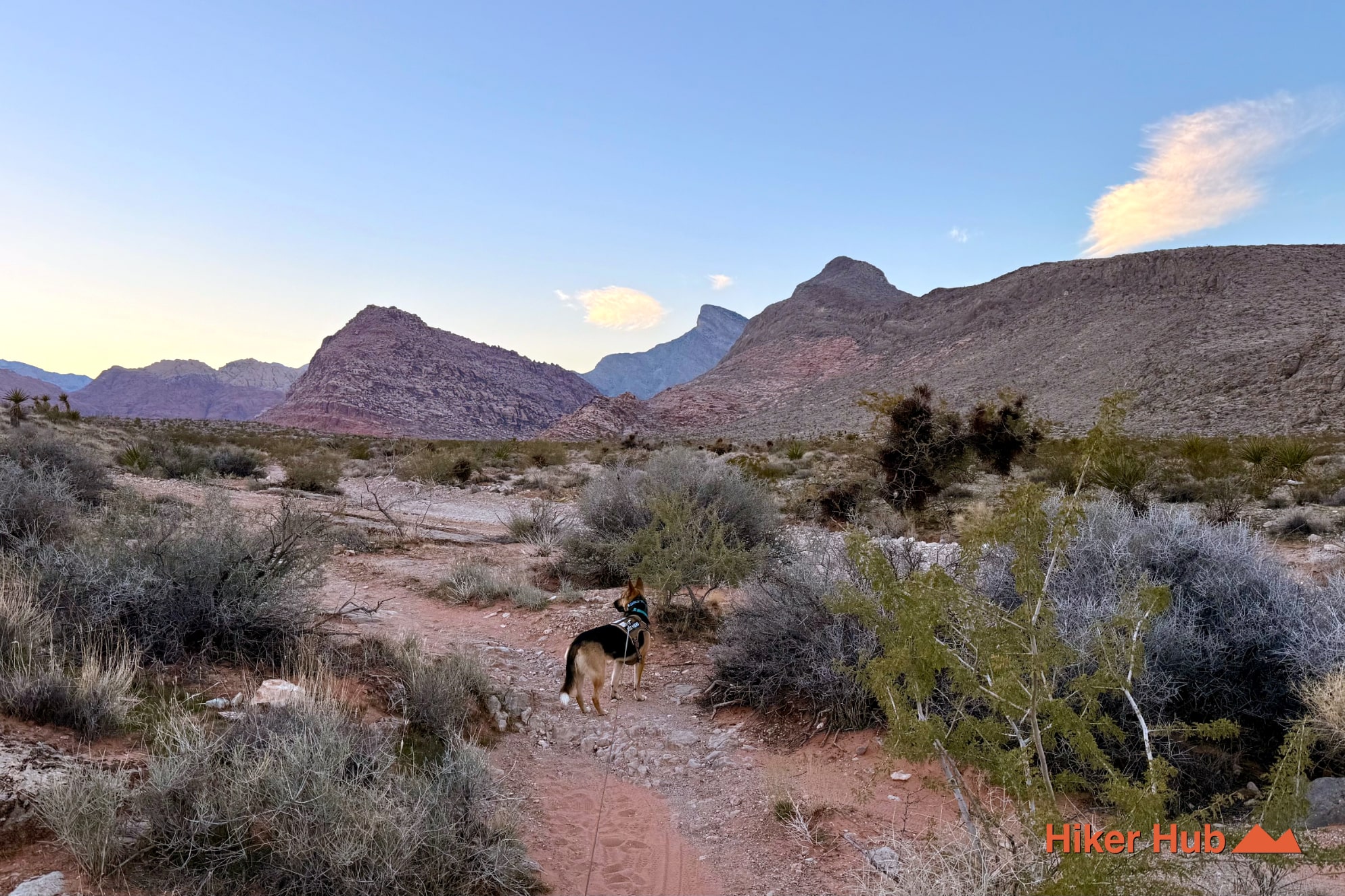
Gene’s Extended Loop—often described locally as Half Wilson to Gene’s Trail—is a lightly traveled circuit along the western edge of Calico Basin. The route moves through open basins, rolling foothills, shallow washes, and low ridges with uninterrupted views toward Summerlin, the Las Vegas Strip, Kraft Mountain, and the Spring Mountains. It's close to some of the busiest recreation in Red Rock Canyon Nevada yet receives only a fraction of the traffic.
The loop uses Gene’s Trail and a primitive Half Wilson connection near Calico Basin Road. It remains outside the Red Rock Canyon Scenic Loop, so no one-way drive is required, but parking around Kraft Mountain and Red Spring can still fill on cool weekends. Once the route leaves the main access corridors, the landscape becomes spacious and quiet.
Connections can be adjusted through Calico Basin Trail, Kraft Mountain Loop, Ash Spring, and Girl Scout Trail. That flexibility makes the extended loop useful for trail runners and hikers building a workout around available daylight.
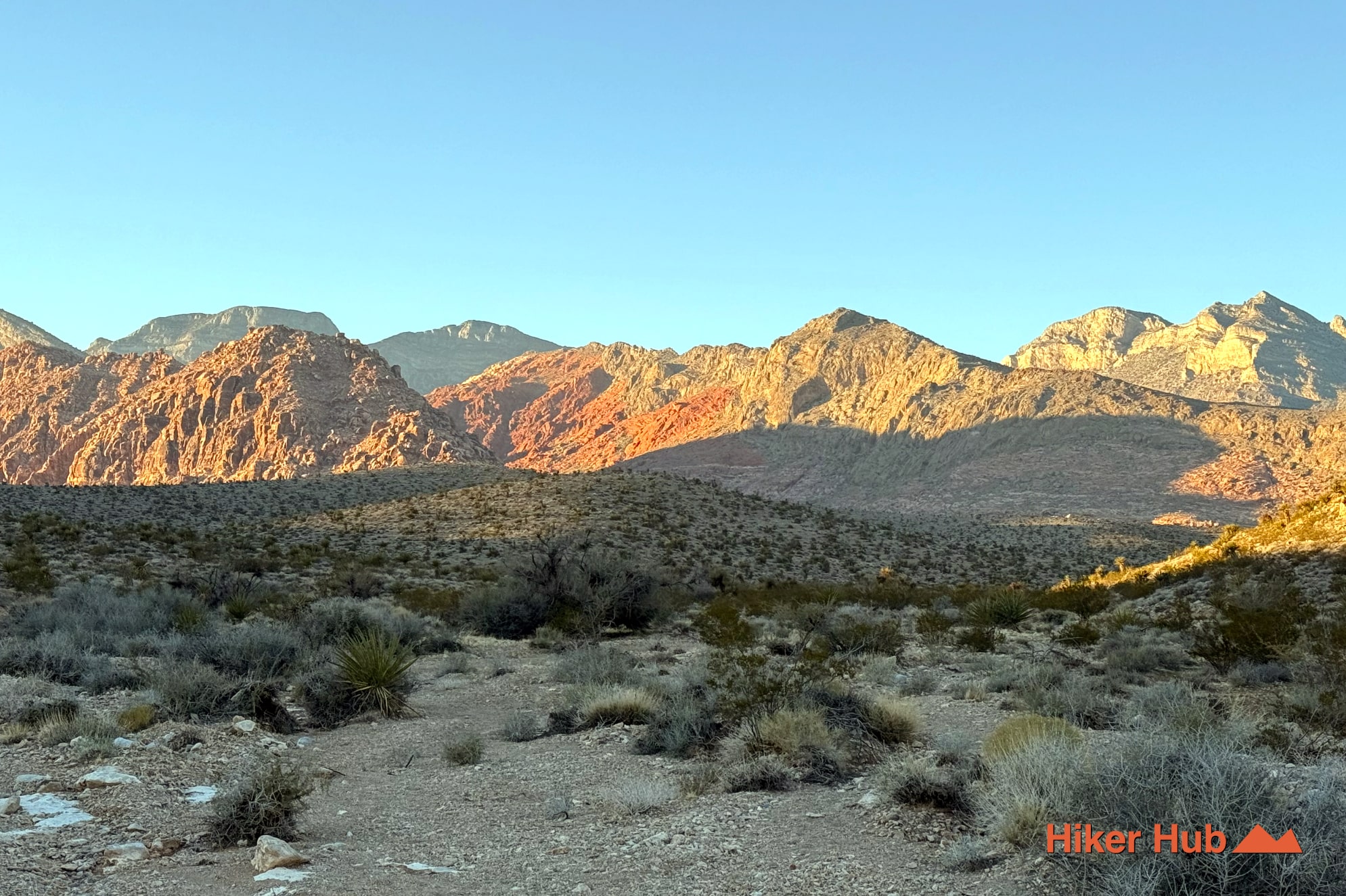
The route crosses alluvial terrain below the Calico Hills, where erosion has carried gravel and sand away from the sandstone formations and spread it across the basin. Low ridges create constant changes in perspective. One rise frames Kraft Mountain; the next opens toward the city; another reveals red and cream Aztec Sandstone glowing above the desert.
Those sandstone layers began as Jurassic dunes in a vast desert far older than the modern Mojave. Wind-built cross-bedding remains visible in exposed slabs and cliffs, while washes record the continuing work of flash floods. The loop is not a technical geology hike, but it provides a broad view of how mountains, fans, and drainage channels fit together.
Light is the main high point. At sunrise, the Calico Hills warm before much of the basin. Near sunset, the red rock deepens while the city and Spring Mountains fade through lavender and blue. See that transition in this mountain sunset field clip and in Mohave Edge’s Las Vegas sunset photography.
The quiet route also works for introspection, soul searching, or simply maintaining a steady hiking pace without passing crowds every few minutes. It's one of the rare places near Calico Basin where a busy parking lot can lead to extended silence.
Gene’s Extended Loop suits fit beginners accompanied by someone familiar with the network, intermediate hikers, trail runners, and anyone who prefers cardio and views over scrambling. The route is exposed but generally less technical than Kraft Mountain. The main challenge is choosing the correct primitive connector.
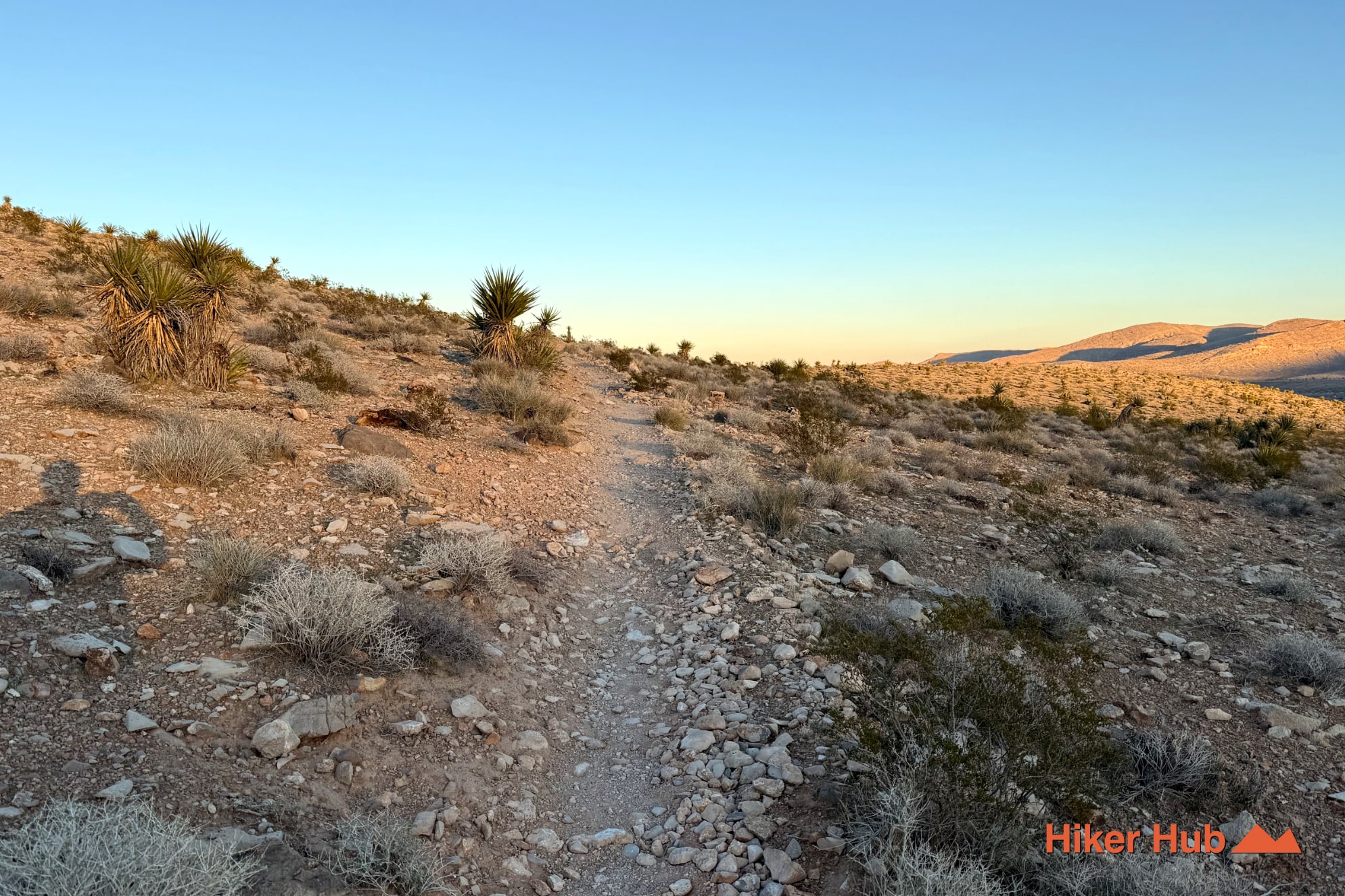
Carry offline navigation, water, sun protection, and hiking shoes with traction on loose gravel. Social trails branch into the basin, and not every path produces the intended loop. A firm turnaround time is more useful than pushing ahead on a line that no longer matches the route.
November through April is ideal. May and October can work with early starts, while summer should be limited to unusually cool dawn conditions. There's almost no shade and no reliable water. Winter sunsets can be spectacular, but darkness arrives quickly.
Gene’s Trail itself may have occasional hikers and mountain bikers, while the extended Half Wilson side is much quieter. Compared with Kraft Mountain, Calico Tanks, or the Red Rock Canyon Visitor Center corridor, the loop feels almost empty. It's an excellent choice for repeat visitors who want things to do in Las Vegas outdoors without returning to the same crowded landmarks.
Recommended gear
Gear picks are matched to this route using distance, difficulty, terrain, and desert conditions.
Disclosure: some links may be affiliate links. Red Rock Hiker Hub may earn a commission at no extra cost to you.
Water carry
Useful for exposed desert routes where one small bottle is not enough.
View hydration packsShade
Simple shade matters on open desert terrain, sandstone slabs, and long approaches.
View hiking hatsSun protection
A lightweight sun layer is one of the most useful pieces of gear for Red Rock exposure.
View sun hoodiesFooting
Better traction helps on loose gravel, sandstone, rocky washes, and steeper trails.
View trail shoesSkin protection
Small, easy to carry, and useful on nearly every Southern Nevada trail.
View SPF essentialsSafety
Worth carrying for cactus spines, scrapes, blisters, and minor trail injuries.
View first aid kits