Water carry
3L Hydration Pack
Useful for exposed desert routes where one small bottle is not enough.
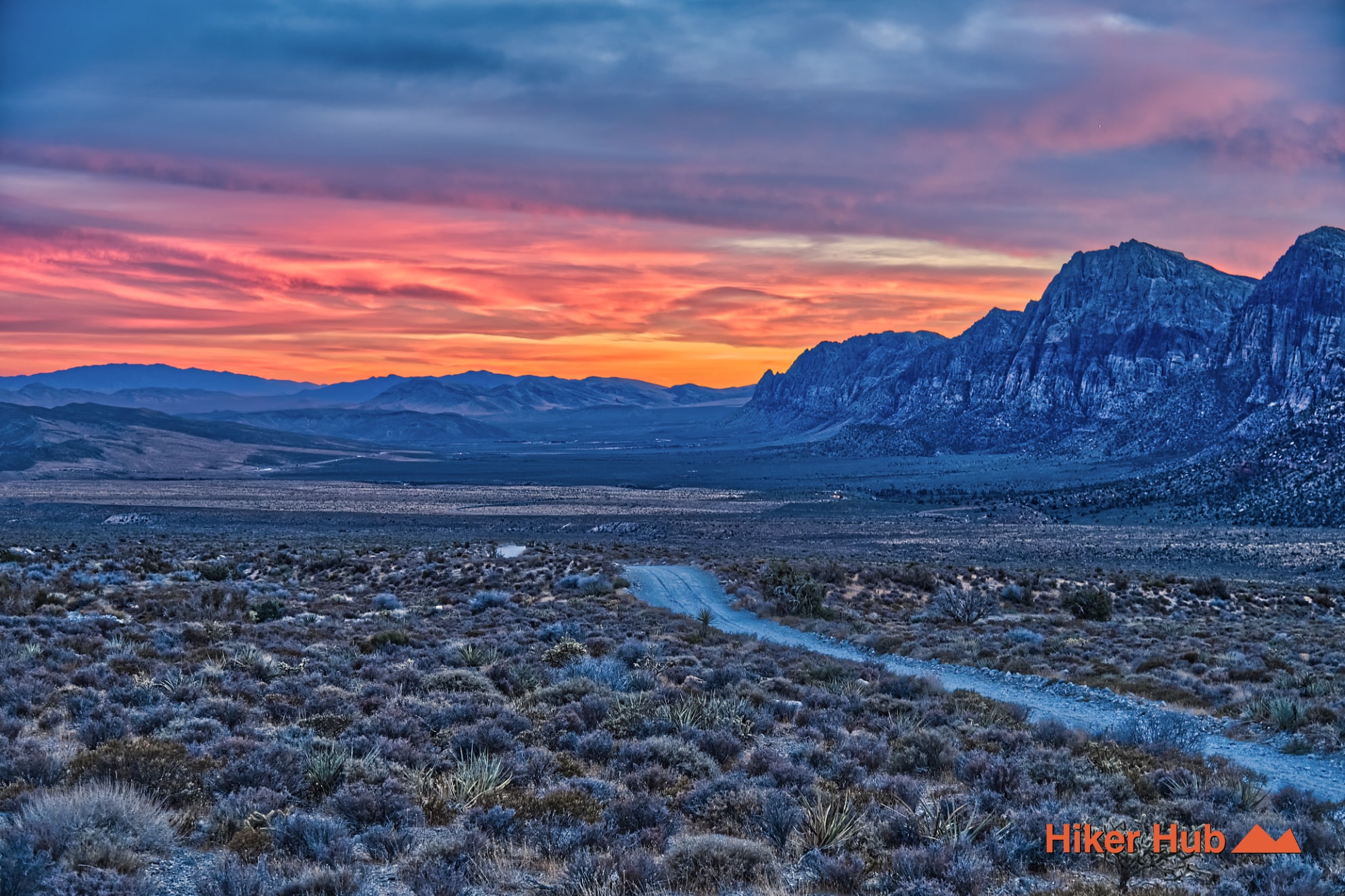
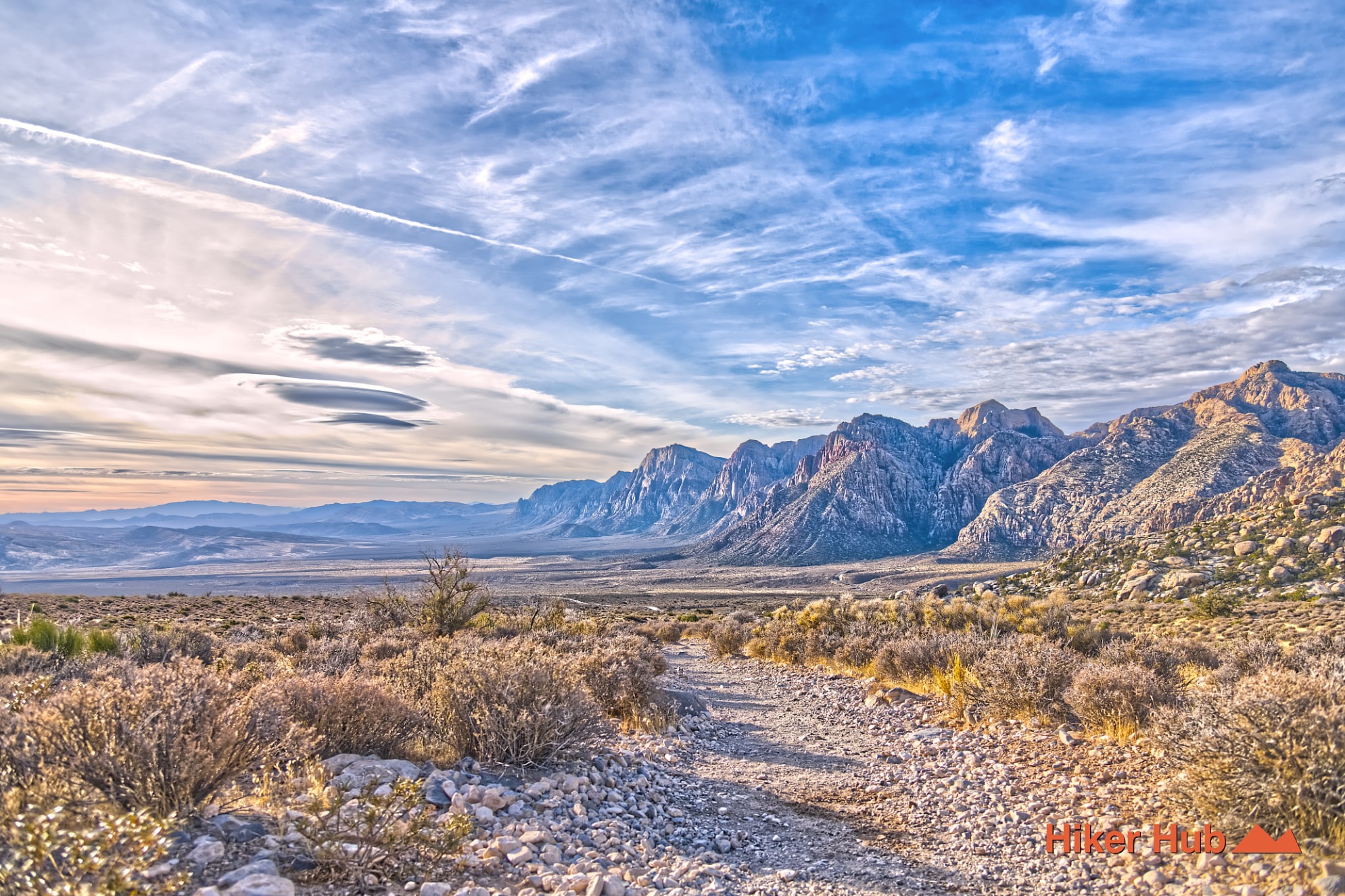
View hydration packs4.53 miles • Moderate • Trail
Conditions, access, and regulations can change. Always verify current information and assess safety before visiting.
Offline maps coming soon. Be first to access downloadable routes.
Some listings may be paid partnerships.
Know a useful stop near this trail? Suggest a business
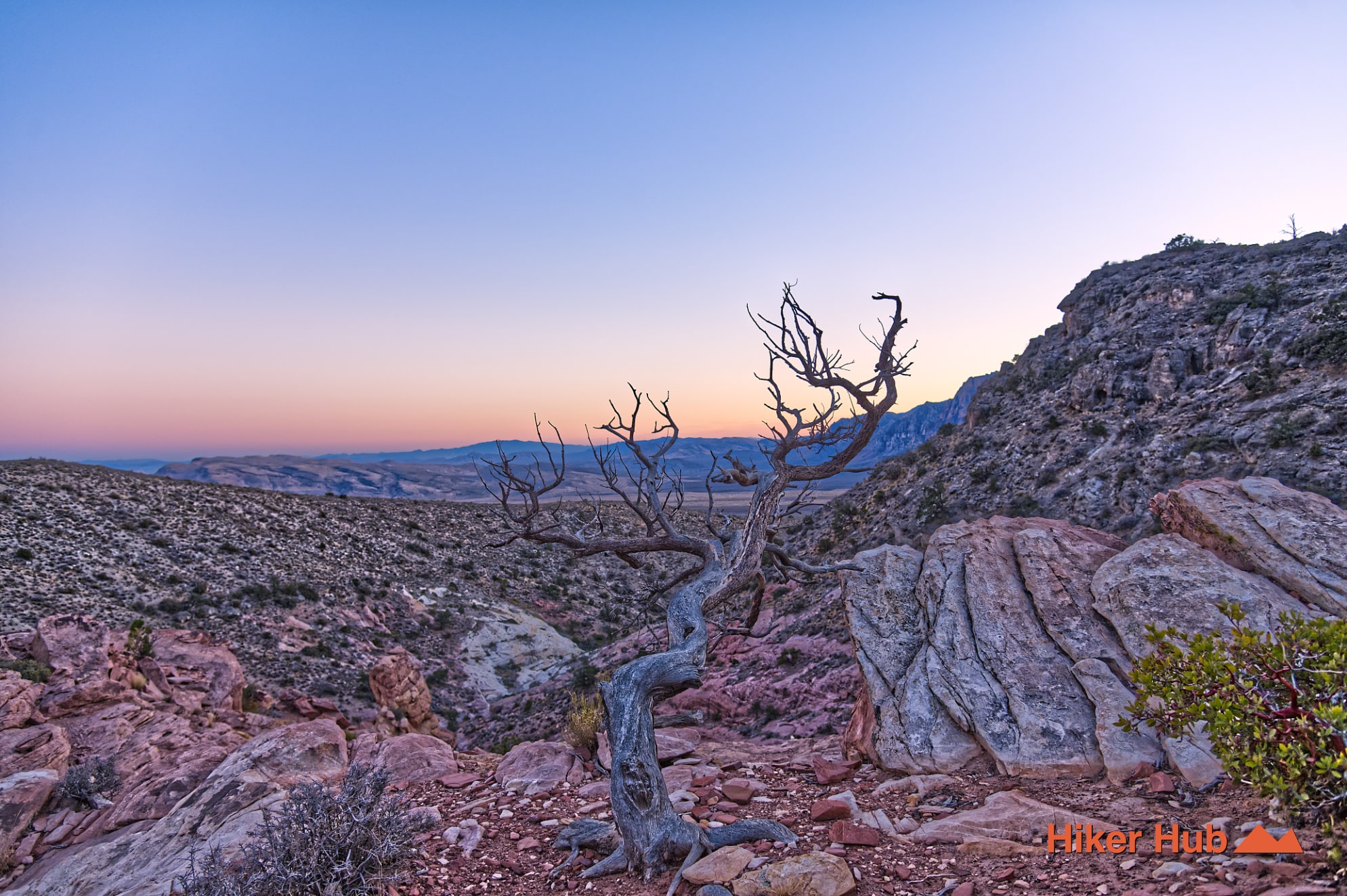
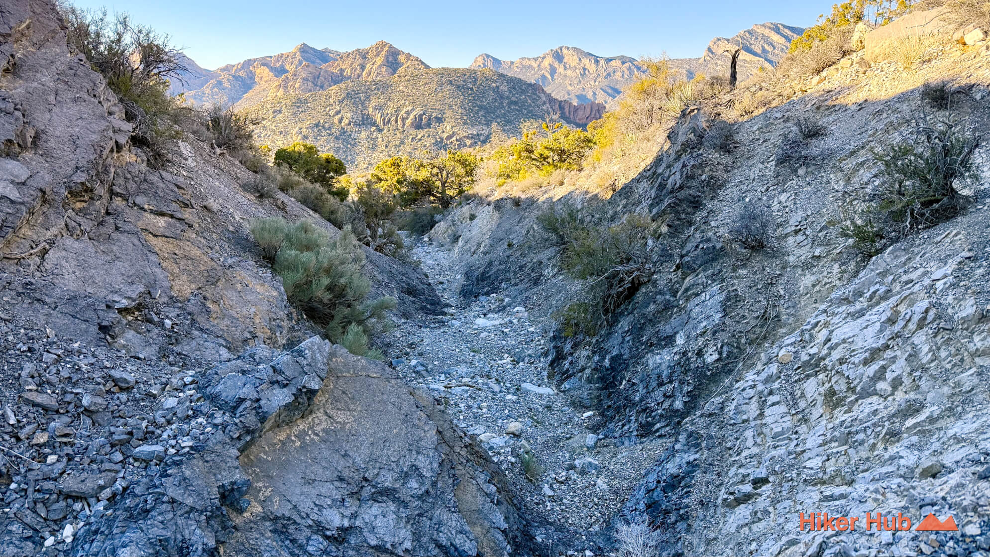
A fault line is a fracture between two blocks of rock enabling free movement of each rock. The fracture can occur rapidly or gradually and may be minimal or massive. Fault lines are responsible for displacements of all types over eons. Such is the case with the limestone that thrust itself over sandstone on this trail—a once was major fault line. It’s this limestone that’s prevalent throughout the Spring Mountains and La Madre Mountain.
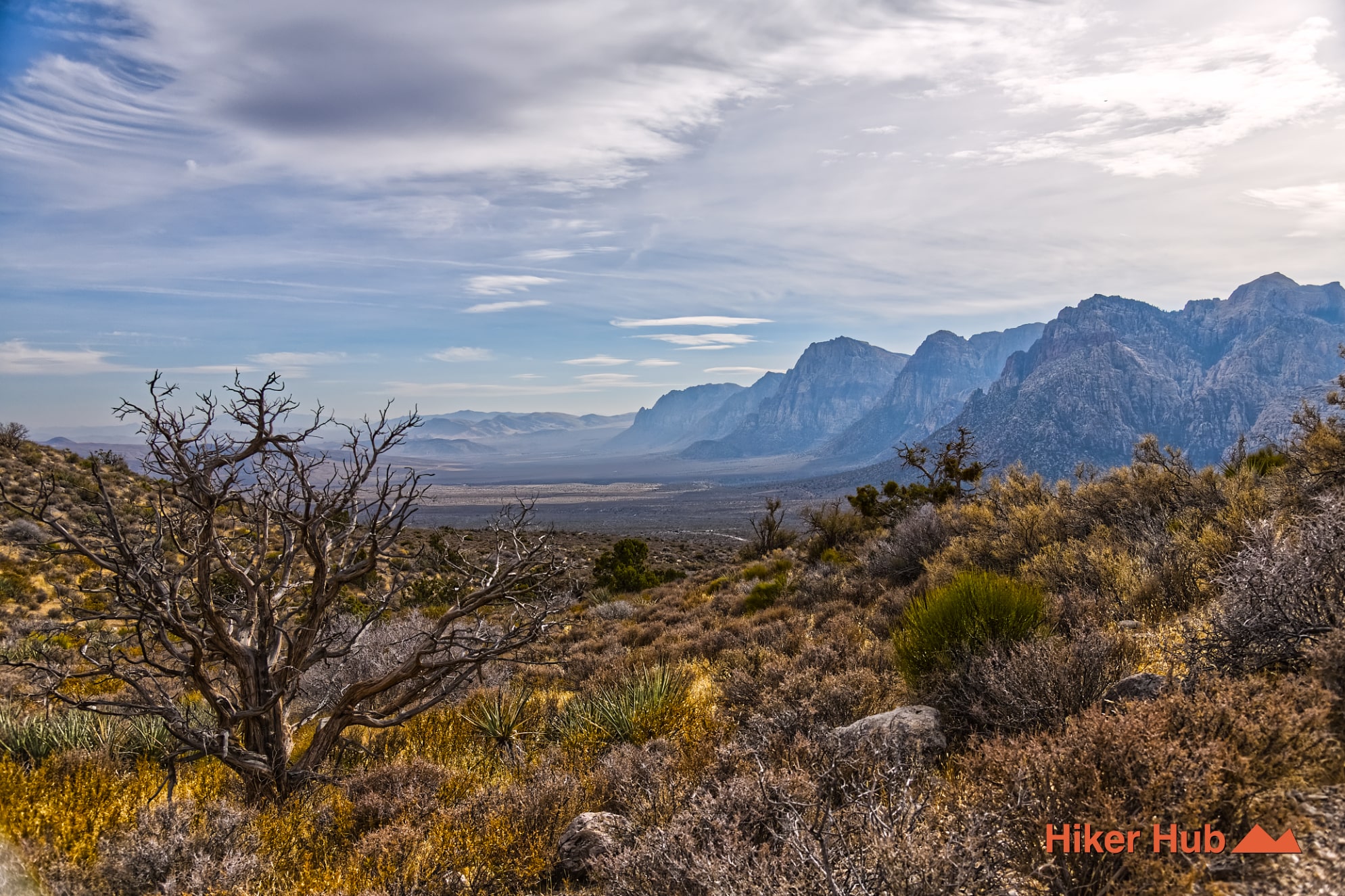
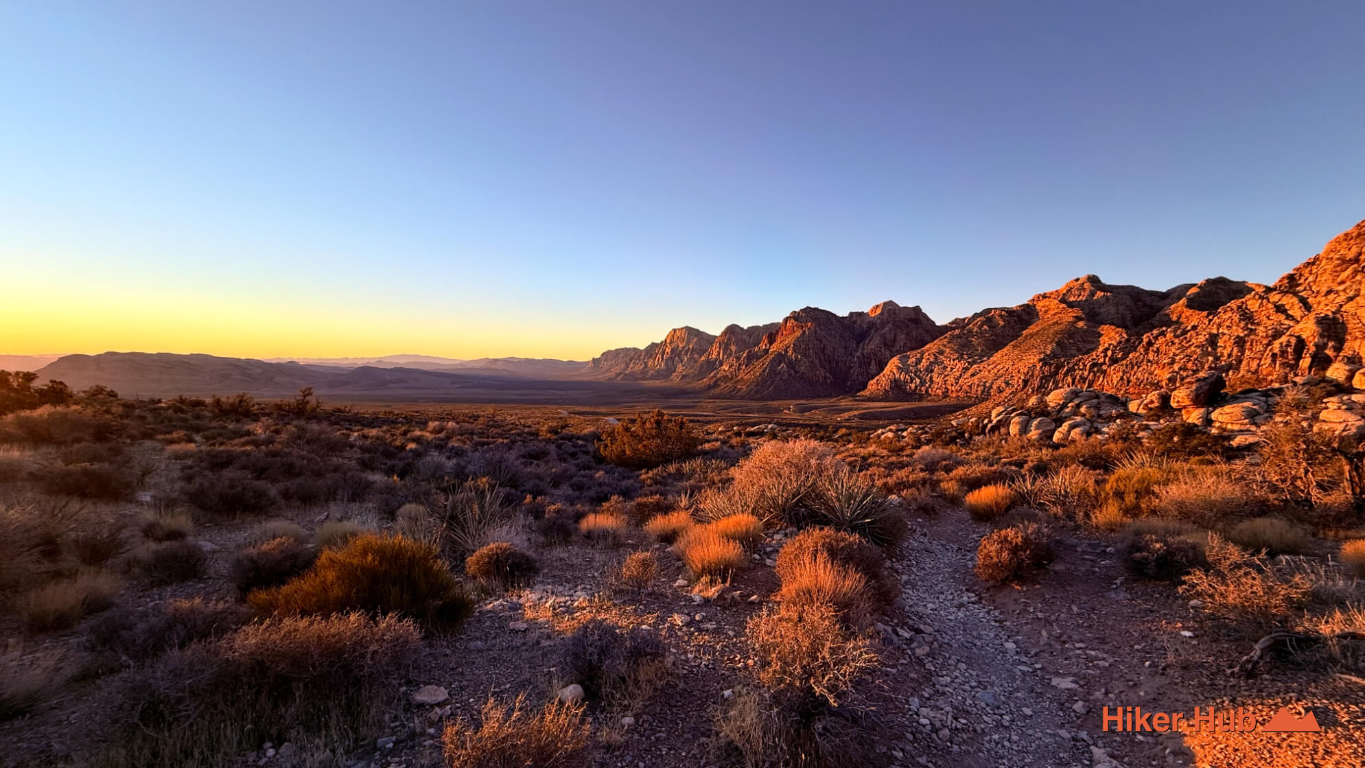
The Keystone Thrust is one of the most significant geological features in Red Rock Canyon Las Vegas, and one of the rare places on Earth where you can actually walk through a faultline created by massive crustal forces. This thrust fault runs for nearly 13 miles, beginning near the White Rock Hills and extending south past the escarpment toward Blue Diamond. Here, older Paleozoic limestone was pushed up and over younger Jurassic sandstone—an inversion of the usual order of rock layers. The result is the dramatic contrast visible throughout the area: gray, ancient limestone on one side, and vibrant red and cream Aztec Sandstone on the other.
What makes the Keystone Thrust so fascinating is that it formed during the same tectonic events that helped shape much of the American West, including the early uplift phases that eventually contributed to the rise of the Sierra Nevada mountain range. These forces compressed the crust from the west and pushed entire slabs of rock eastward. Red Rock Canyon’s thrust fault represents one of the easternmost expressions of this massive geologic event. Standing in the contact zone—where limestone physically overrides sandstone—offers a rare opportunity to see, touch, and walk through a faultline that exposes millions of years of Earth’s history in a short span of trail.
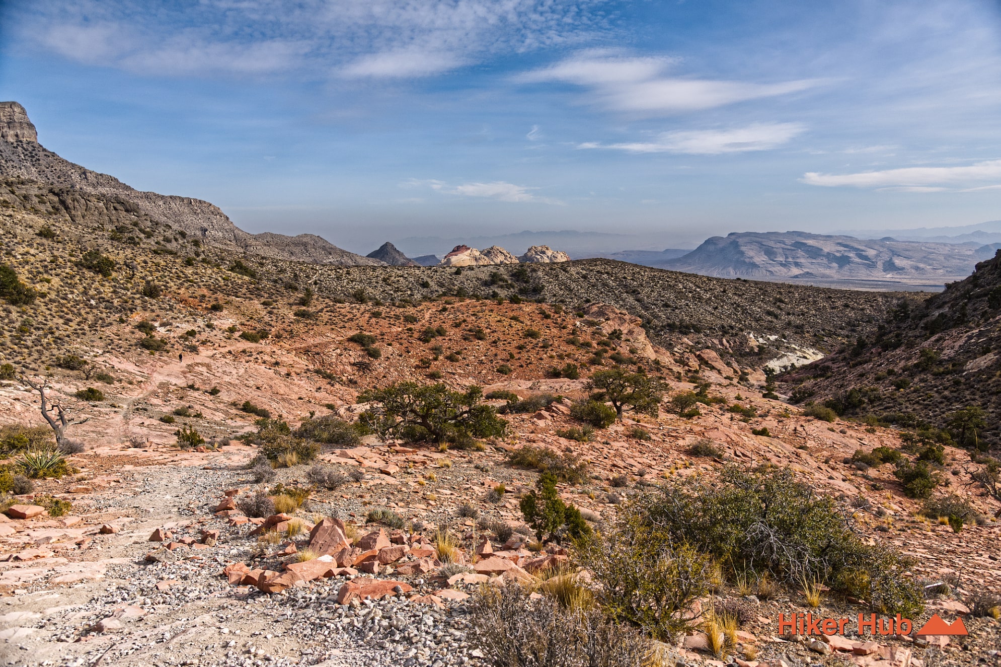
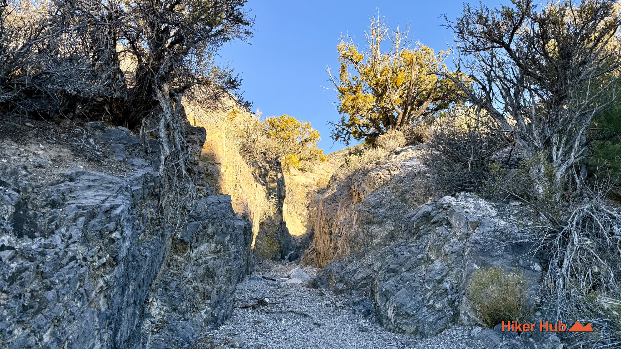
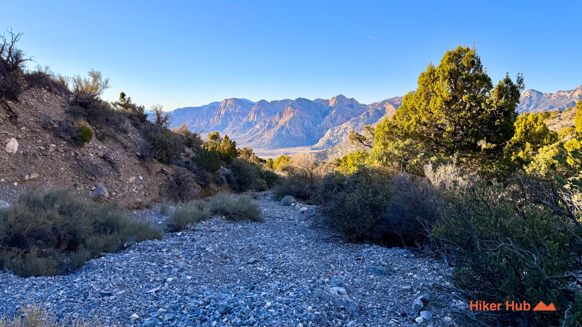
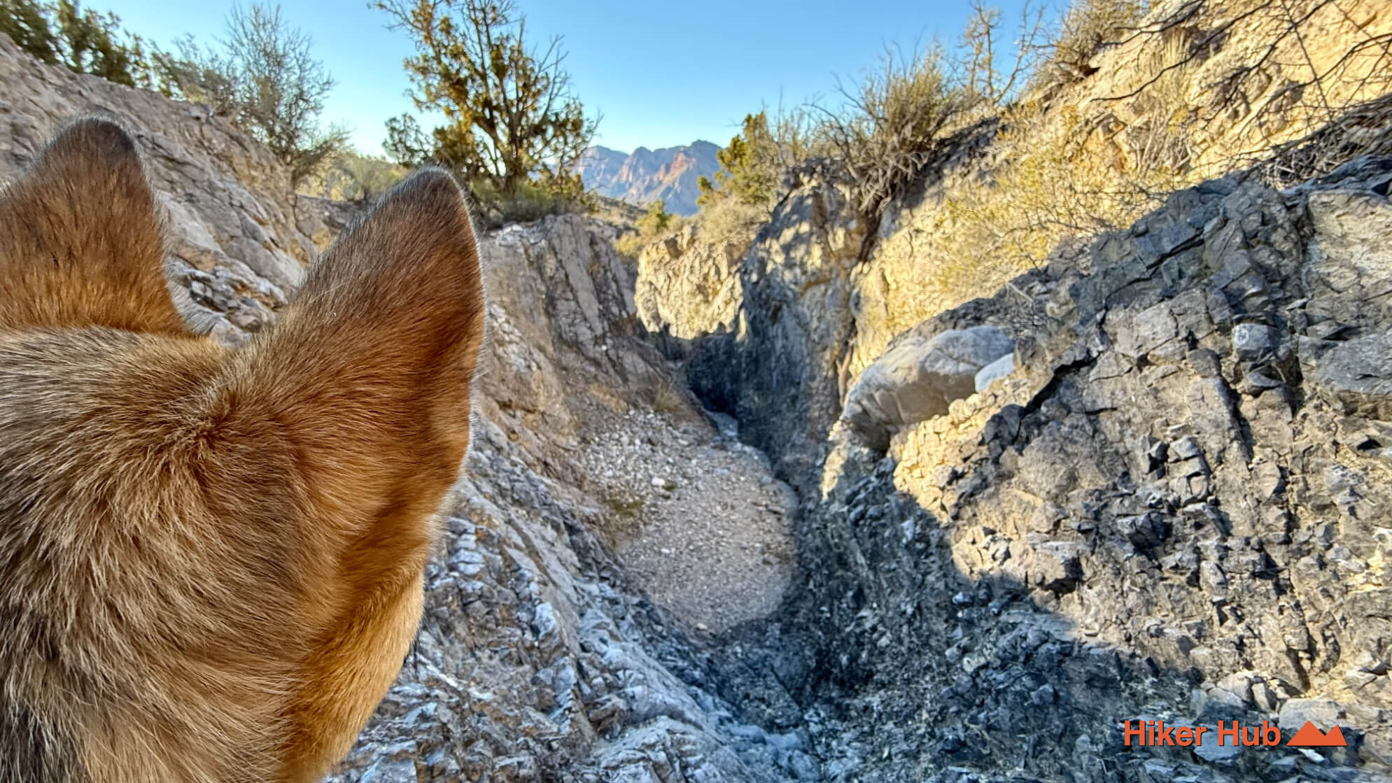
This particular route also includes a substantial, optional trail extension that climbs high above the main Keystone Thrust path—leading hikers to a vantage point almost eye-level with neighboring Turtlehead Peak.
This extension adds considerable distance and elevation gain, taking you deep into a remote section of the wilderness seldom visited by casual hikers. Near the top, the trail becomes faint and briefly disappears altogether before dropping into a limestone wash. From there, the wash provides a steep, rugged descent that brings you nearly all the way down the mountain. This upper segment showcases the raw, untamed nature of the landscape and offers a perspective typically reserved for far tougher summit routes.
Recommended gear
Gear picks are matched to this route using distance, difficulty, terrain, and desert conditions.
Disclosure: some links may be affiliate links. Red Rock Hiker Hub may earn a commission at no extra cost to you.
Water carry
Useful for exposed desert routes where one small bottle is not enough.
View hydration packsFooting
Better traction helps on loose gravel, sandstone, rocky washes, and steeper trails.
View trail shoesShade
Simple shade matters on open desert terrain, sandstone slabs, and long approaches.
View hiking hatsSun protection
A lightweight sun layer is one of the most useful pieces of gear for Red Rock exposure.
View sun hoodiesSafety
Worth carrying for cactus spines, scrapes, blisters, and minor trail injuries.
View first aid kitsPhone backup
Useful when taking photos, checking maps, or spending a long day outside.
View power banks