Footing
Rocky-Terrain Trail Shoes
Better traction helps on loose gravel, sandstone, rocky washes, and steeper trails.
View trail shoesRed Rock Canyon, Las Vegas
1.71 miles • Easy • Trail
Conditions, access, and regulations can change. Always verify current information and assess safety before visiting.
Offline maps coming soon. Be first to access downloadable routes.
Some listings may be paid partnerships.
Know a useful stop near this trail? Suggest a business
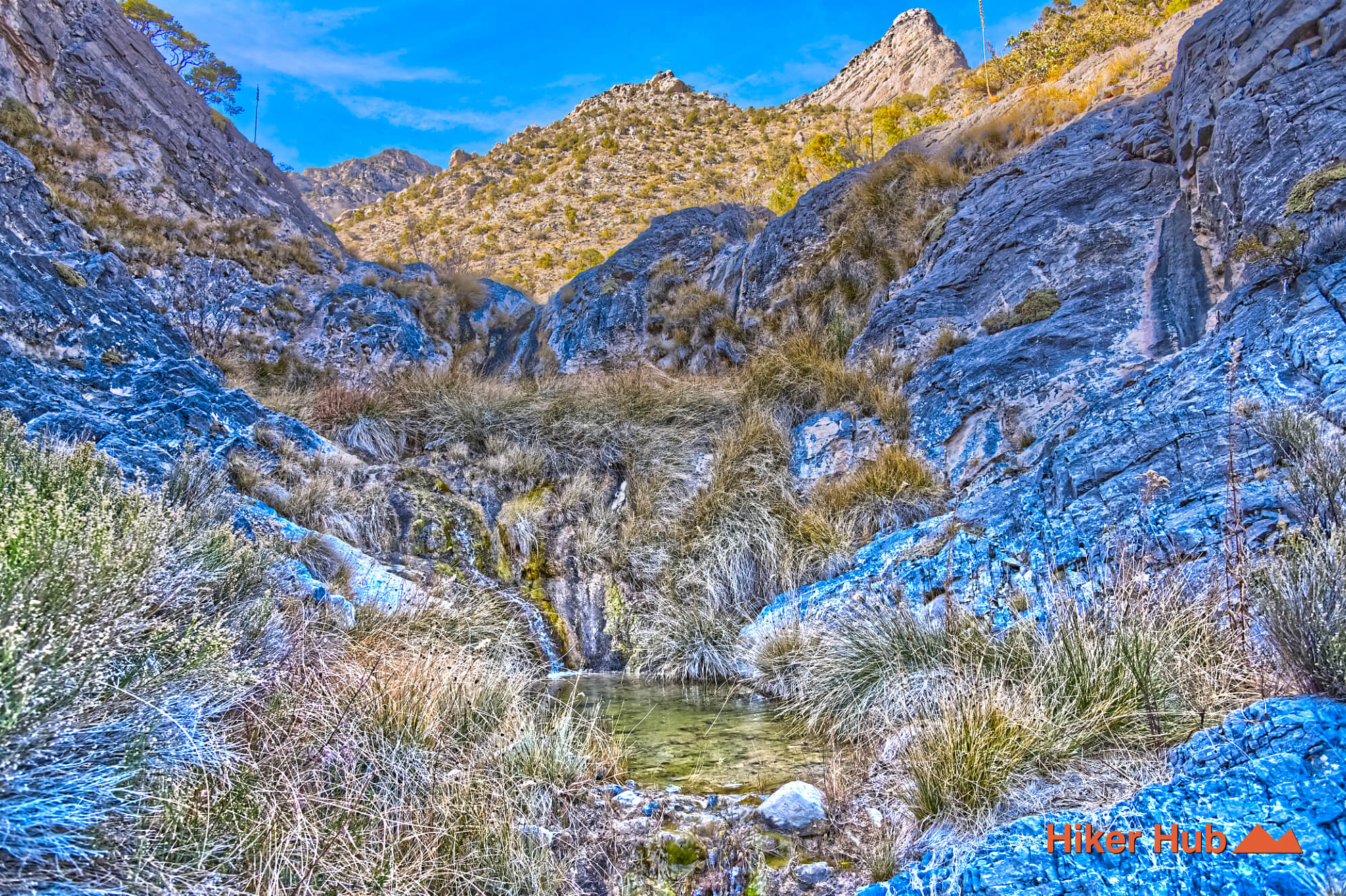
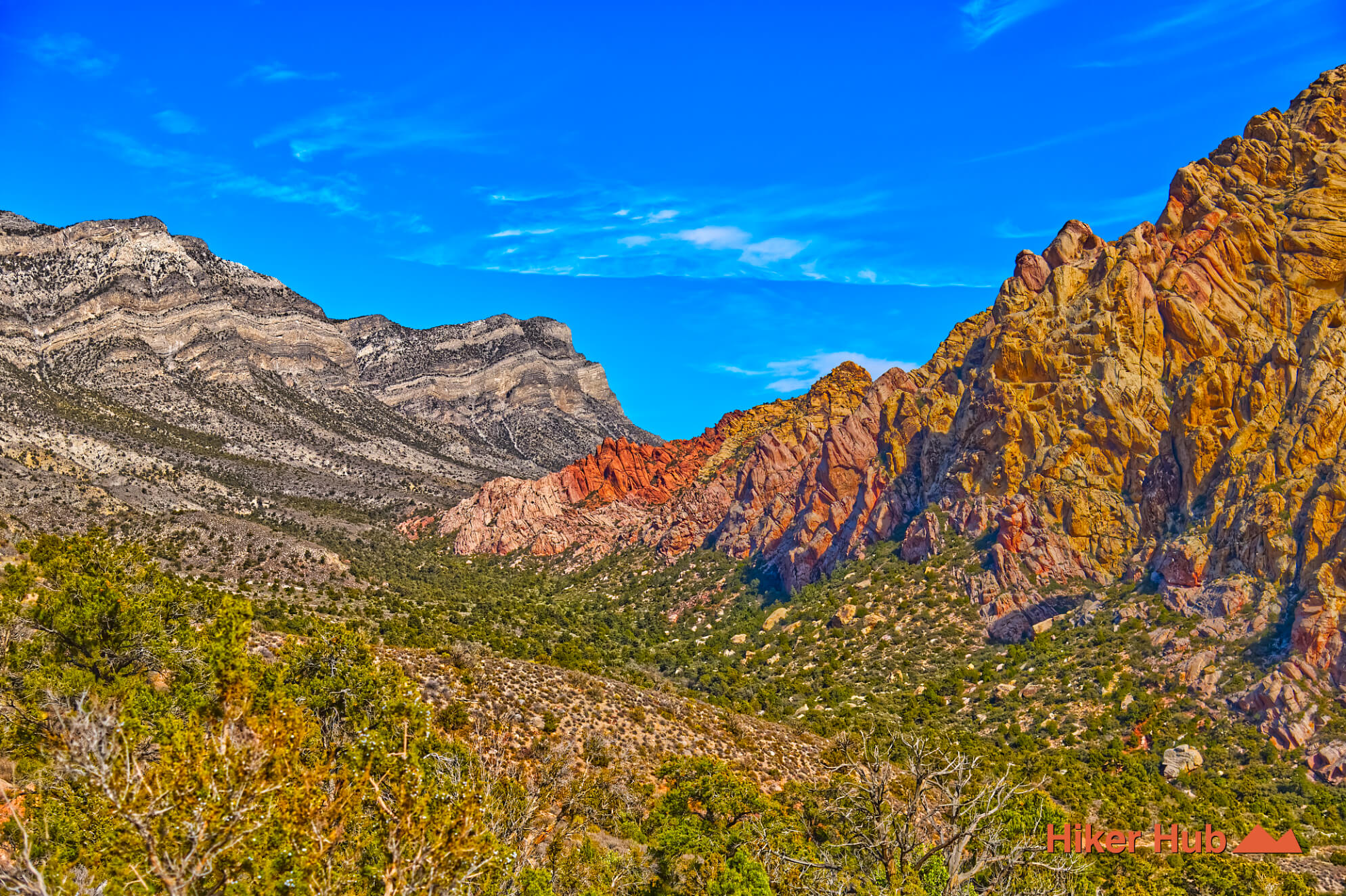
Waterfall Canyon is undoubtedly among the lesser visited destinations in Red Rock Canyon Las Vegas. It follows a small canyon nestled a short distance from the start of Rocky Gap Road. The waterfalls aren’t huge like in other places of the park. The difference is nearly everywhere else, many water sources are seasonal. The big ones depend greatly on snow and perhaps even rainfall. This trail however provides constant small to medium sized waterfalls far more frequently than other locations.
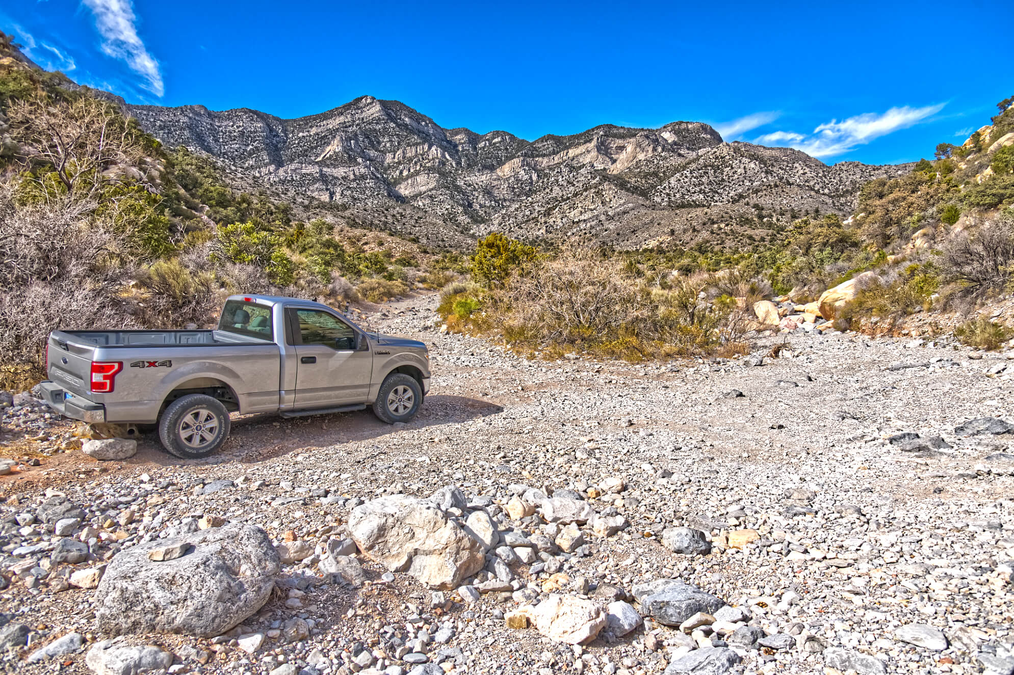
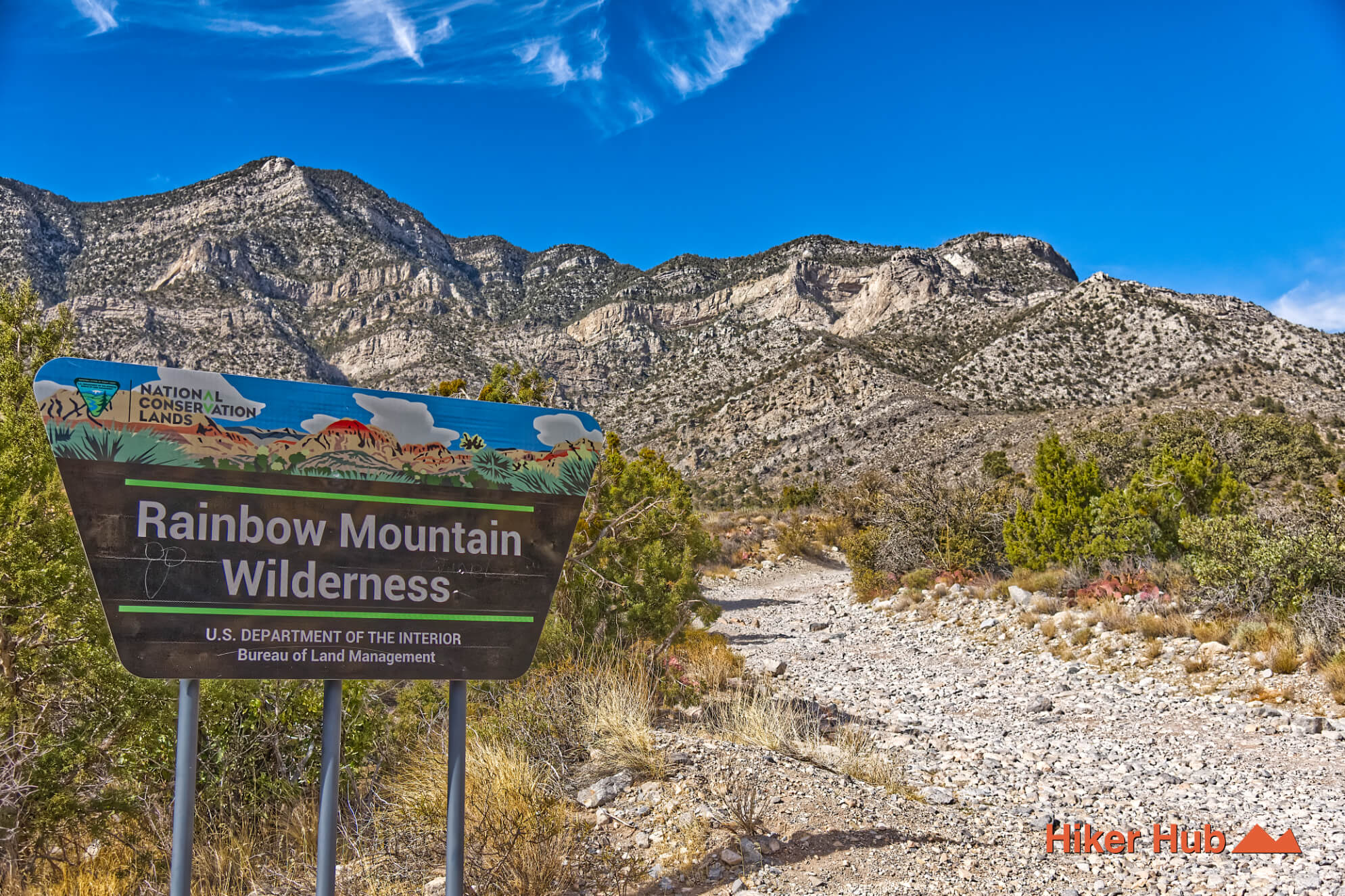
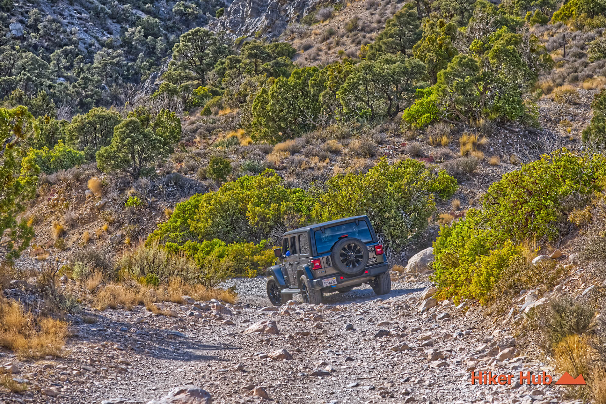
Depending on your vehicle, you’ll either park at the very end of the Lost Creek–Willow Springs lot, or venture a short distance up the very rocky road to find a spot to park that’s out of the way of hikers and other drivers. This is the entrance to the Rocky Gap Road and the beginning access point for the Waterfall Canyon route. You’ll most likely see very well equipped Jeeps and trucks occasionally trekking through here. This is also the way to North Peak and Bridge Mountain.
Hiking through Waterfall Canyon is very rugged. There’s giant slabs of limestone that’ll eventually lead to tanks ranging from 2–4’ deep. On a hot summer day, one could bask in these tanks amidst natural spring water. It's a fascinating region. Vegetation dense and rich in adventure.
In this very region numerous types of archeological discoveries were made ranging from clothing to graves among places used for religious and cultural importance by the Nuwuvi people. Mt. Charleston specifically is seen as a place of inception for said peoples and their modern descendants—the Southern Paiutes.
They believed they were the moral, spiritual, and cultural stewards of these mountains which were/ are places of power. Where energy flowed through water, springs, steam, and rain; materialized in snow. Tool making, ceremonial dance and healing sites all have profound histories here in addition to rites of passage—histories that add even more weight to the experience of the Waterfall Canyon route. This area of Red Rock Canyon Las Vegas is yet again, a unique, highly adventurous, and extraordinary place.
Recommended gear
Gear picks are matched to this route using distance, difficulty, terrain, and desert conditions.
Disclosure: some links may be affiliate links. Red Rock Hiker Hub may earn a commission at no extra cost to you.
Footing
Better traction helps on loose gravel, sandstone, rocky washes, and steeper trails.
View trail shoesSafety
Worth carrying for cactus spines, scrapes, blisters, and minor trail injuries.
View first aid kitsWater carry
Useful for exposed desert routes where one small bottle is not enough.
View hydration packsShade
Simple shade matters on open desert terrain, sandstone slabs, and long approaches.
View hiking hatsSun protection
A lightweight sun layer is one of the most useful pieces of gear for Red Rock exposure.
View sun hoodiesPhone backup
Useful when taking photos, checking maps, or spending a long day outside.
View power banks