Water carry
3L Hydration Pack
Useful for exposed desert routes where one small bottle is not enough.
View hydration packsRed Rock Canyon, Las Vegas
1.97 miles • Easy • Trail
Conditions, access, and regulations can change. Always verify current information and assess safety before visiting.
Offline maps coming soon. Be first to access downloadable routes.
Some listings may be paid partnerships.
Know a useful stop near this trail? Suggest a business
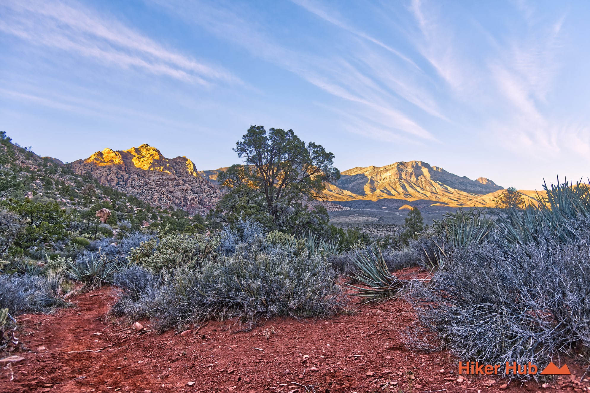
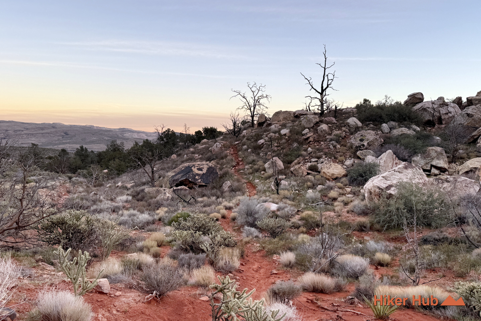
Dale’s Trail is a rolling connector beneath the Red Rock Canyon escarpment between Pine Creek Canyon and Ice Box Canyon. It's one of the best choices for hikers who want wide views, changing desert terrain, and substantially fewer people than the famous canyon destinations on either side. The path crosses washes and low foothills rather than climbing to a summit, creating a steady, scenic hike that works well on its own or as part of a longer point-to-point route.
The trail runs along the western side of the Red Rock Canyon Scenic Loop, connecting the Pine Creek Canyon Trail area with Ice Box Canyon. Because most visitors drive directly to the named canyon trailheads, Dale’s is often overlooked. That underuse is one of its strengths. Once away from the parking areas, hikers can experience long stretches of quiet beneath Mescalito, Bridge Mountain, and the layered walls of the escarpment.
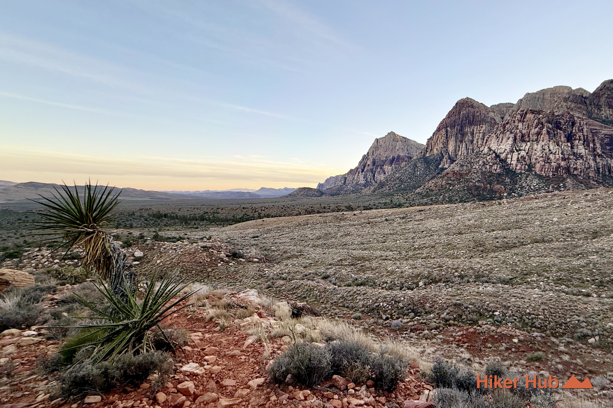
Two benches along the route provide natural stopping points and broad views across the conservation area. The trail is particularly good for photography because the perspective changes gradually rather than disappearing into a narrow canyon. This view of the towering mountains in Pine Creek Canyon shows the scale of the terrain at the southern end of Dale’s Trail.
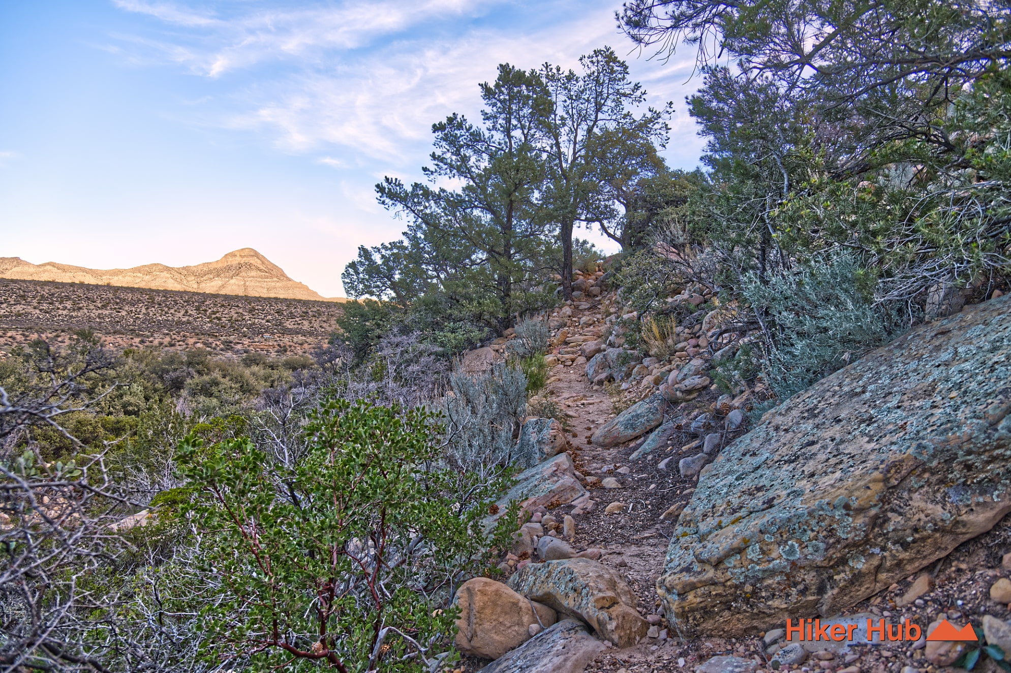
Dale’s Trail crosses the transition zone below Red Rock Canyon’s sandstone cliffs. Aztec Sandstone dominates the western skyline, while gray limestone and dolomite appear in surrounding mountains and transported rock. Washes carry sediment away from the escarpment, building alluvial fans that look flat from a distance but contain repeated dips, rises, and drainage channels. That's why the trail feels more varied than it appears from the road.
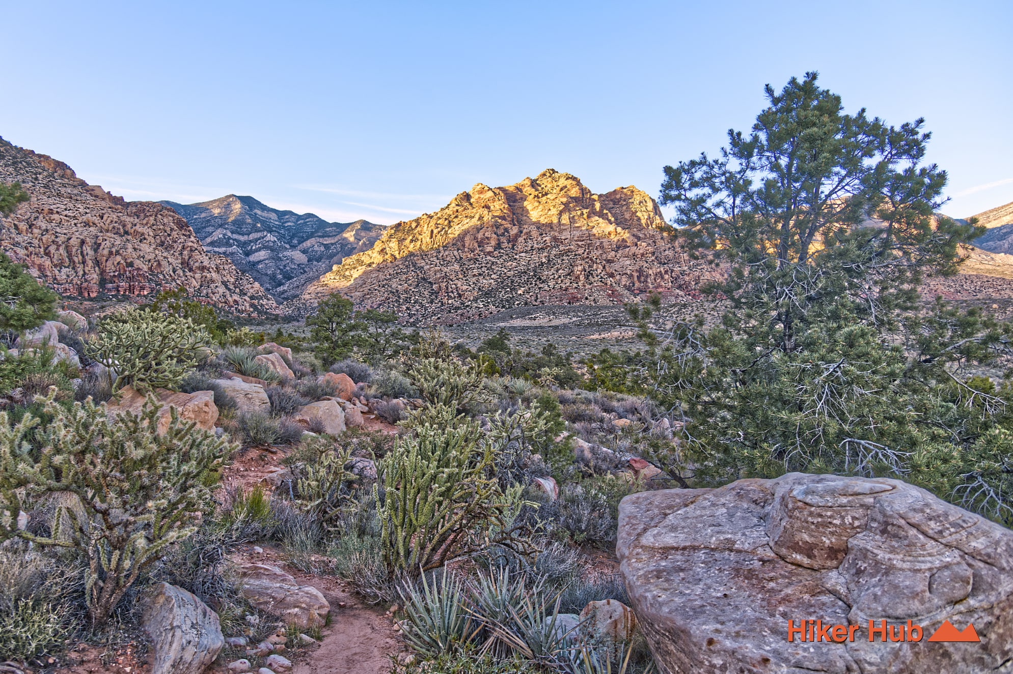
Vegetation also changes with extreme heat, near freezing temperatures, and sporadic water flow or moisture. Creosote and bursage dominate the driest flats, while denser shrubs, yucca, and occasional trees appear closer to washes and canyon mouths. The trail is exposed, but the mixed plant cover and mountain backdrop make it feel less barren than the open central valley.
Dale’s is ideal for hikers seeking solitude, trail runners who prefer rolling terrain, photographers, and visitors interested in soul searching away from the most crowded red rock canyon hiking trails. It's also useful for building mileage without the scrambling found in Kraft Mountain, Ice Box Canyon’s upper boulder field, or Calico Tanks. The route is still a real desert hike: repeated washes, loose rock, and distance require water, navigation awareness, and proper hiking shoes.
November through April is usually best. Winter offers clear air and long mountain shadows, while spring can add wildflowers. The route has little dependable shade, so warm-weather starts should be early. Dale’s is genuinely lesser traveled than Pine Creek and Ice Box Canyon, but hikers will see more people near either trailhead. A point-to-point hike requires a shuttle or two vehicles; an out-and-back can be turned around at either bench or whenever time and conditions dictate.
Nearby options include Pine Creek Canyon, Ice Box Canyon, and Grand Circle Loop. For a quieter day, use Dale’s as the main destination rather than treating it only as a connector. Its high point is not a summit—it is the sustained view of Red Rock Canyon Nevada unfolding beneath the escarpment.
Recommended gear
Gear picks are matched to this route using distance, difficulty, terrain, and desert conditions.
Disclosure: some links may be affiliate links. Red Rock Hiker Hub may earn a commission at no extra cost to you.
Water carry
Useful for exposed desert routes where one small bottle is not enough.
View hydration packsShade
Simple shade matters on open desert terrain, sandstone slabs, and long approaches.
View hiking hatsSun protection
A lightweight sun layer is one of the most useful pieces of gear for Red Rock exposure.
View sun hoodiesFooting
Better traction helps on loose gravel, sandstone, rocky washes, and steeper trails.
View trail shoesSkin protection
Small, easy to carry, and useful on nearly every Southern Nevada trail.
View SPF essentialsHeat support
Helpful on hot days, longer hikes, and steep routes where plain water may not be enough.
View electrolytes