Water carry
3L Hydration Pack
Useful for exposed desert routes where one small bottle is not enough.
View hydration packs11.35 miles • Hard • Trail
Conditions, access, and regulations can change. Always verify current information and assess safety before visiting.
Offline maps coming soon. Be first to access downloadable routes.
Some listings may be paid partnerships.
Know a useful stop near this trail? Suggest a business
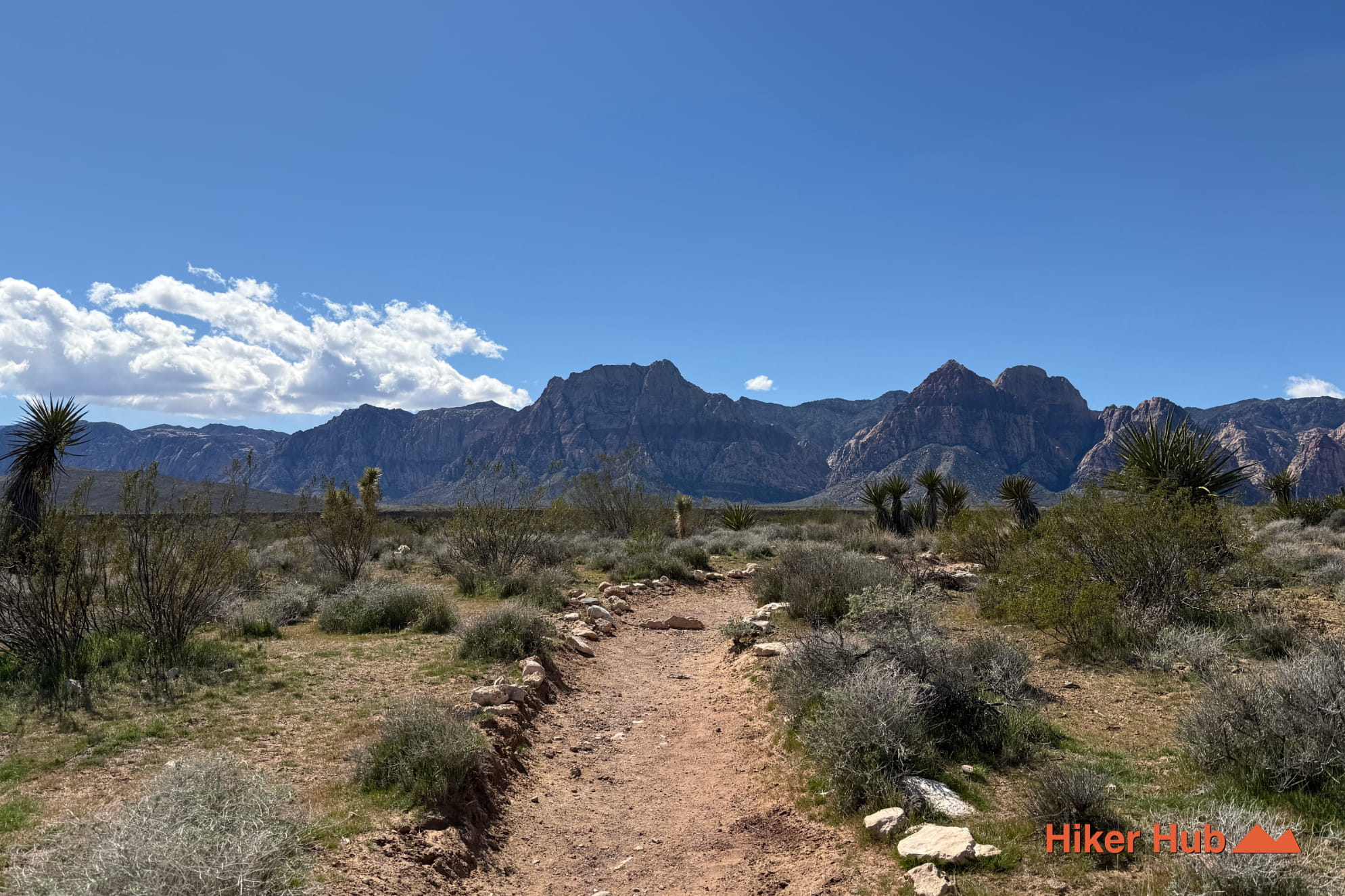
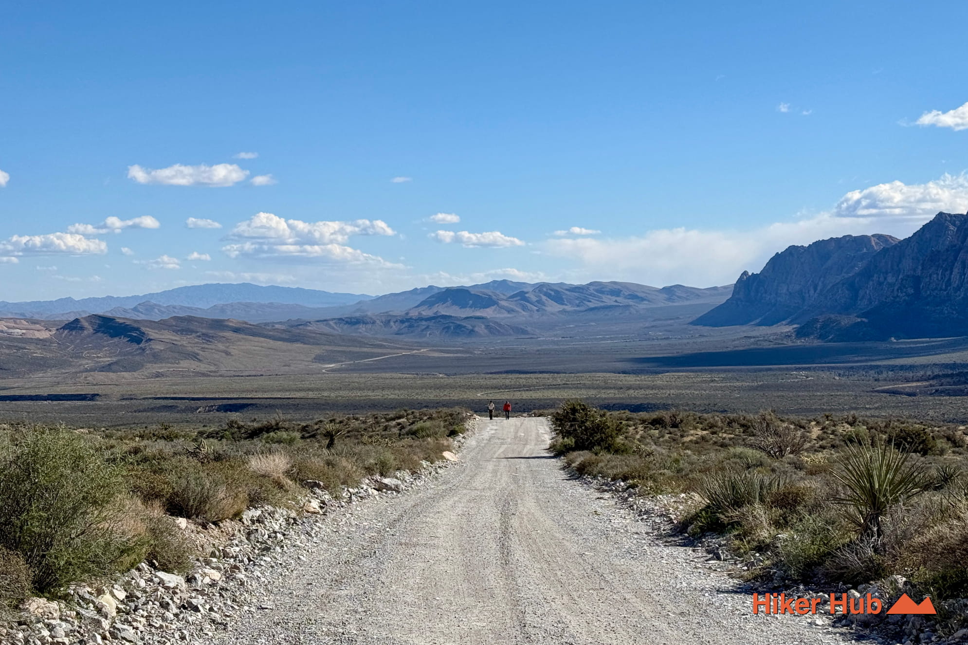
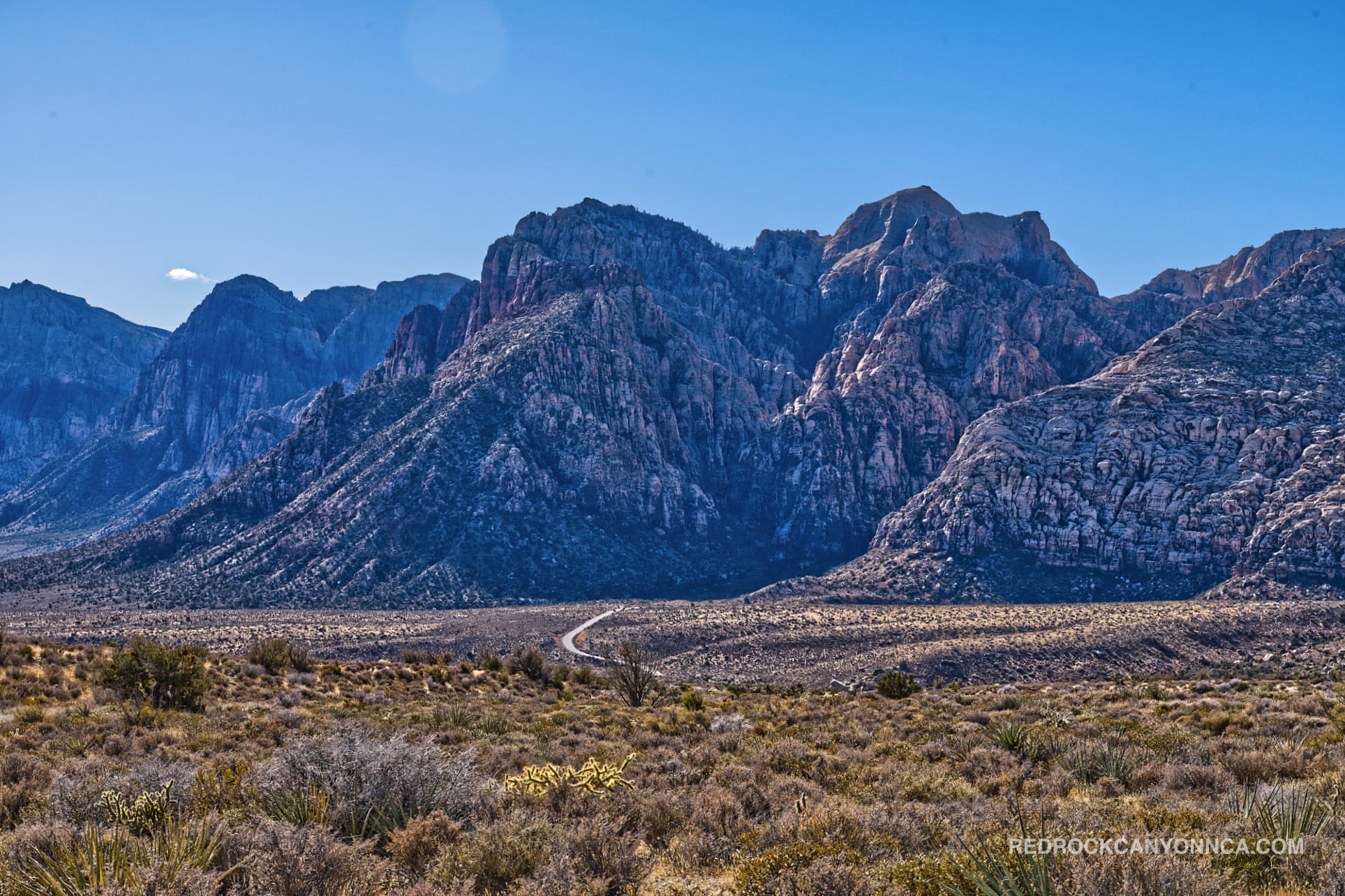
The Grand Circle loop is an 11.4 mile trail that partially follows the Scenic Loop. It connects directly to both Calico Hills trails, crosses the Scenic Loop several times, and covers unique areas inaccessible from any other trail. If you see people walking across random areas of the Scenic Loop, they’re probably doing this trail, or segments.
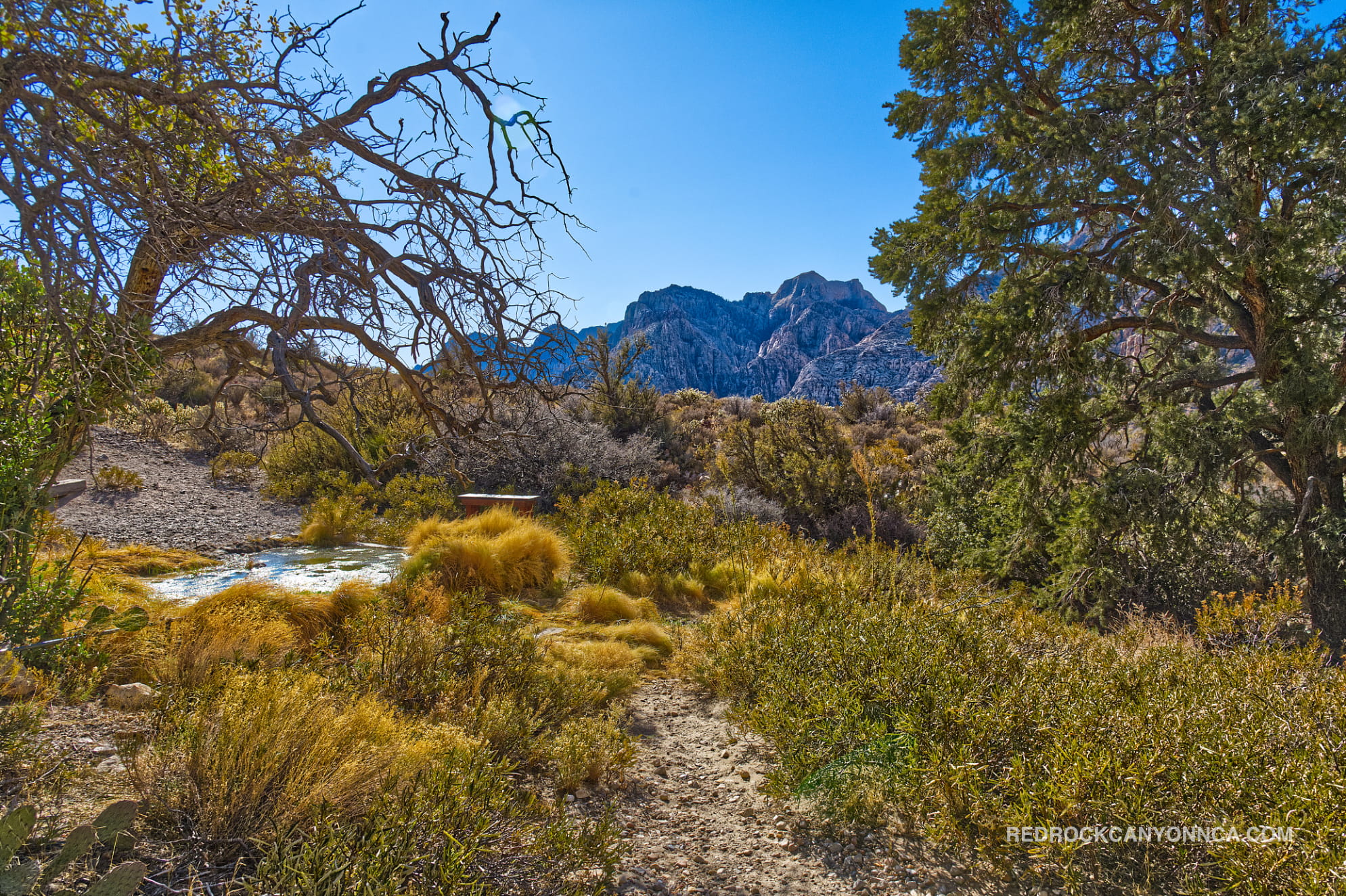
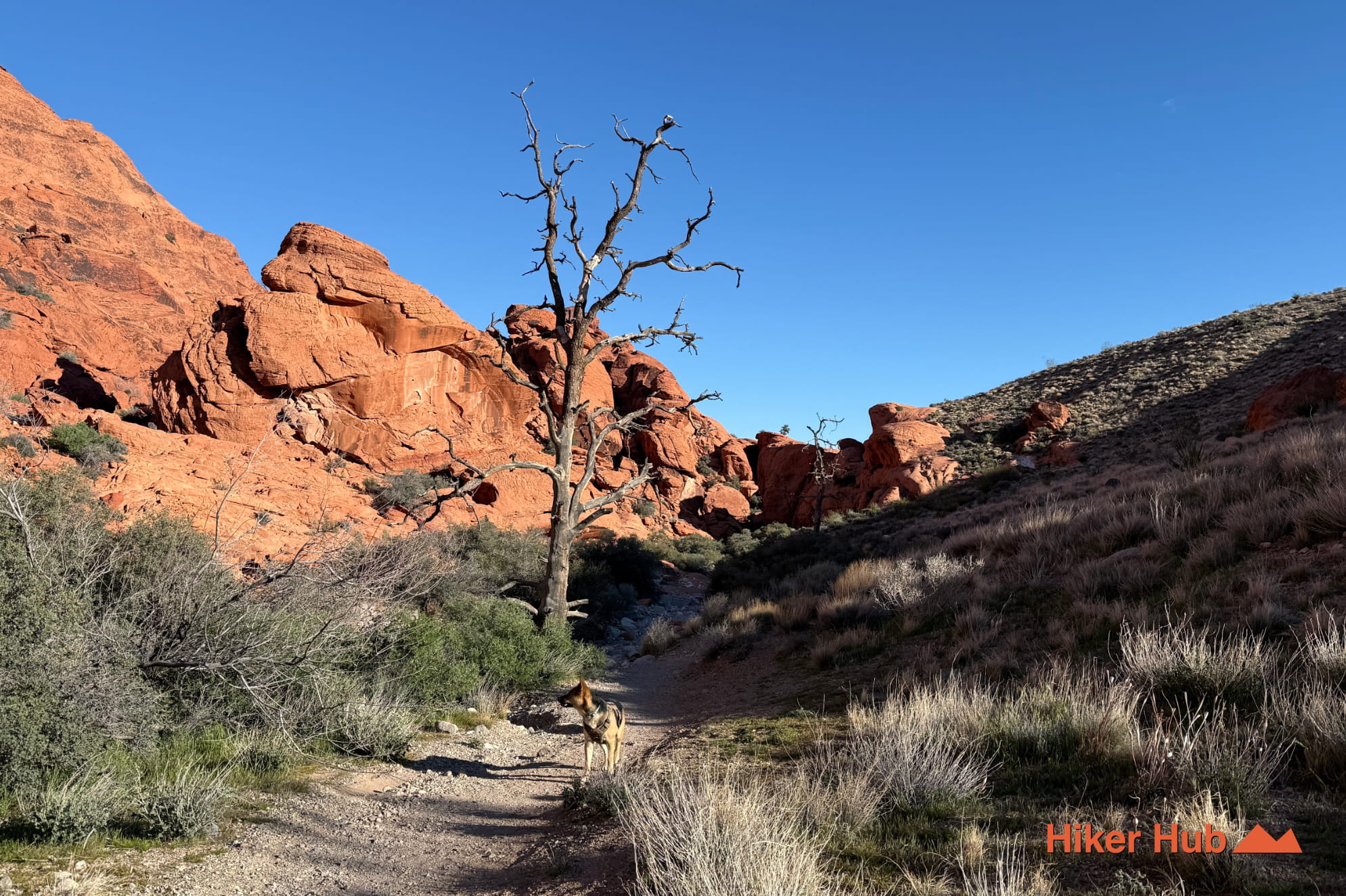
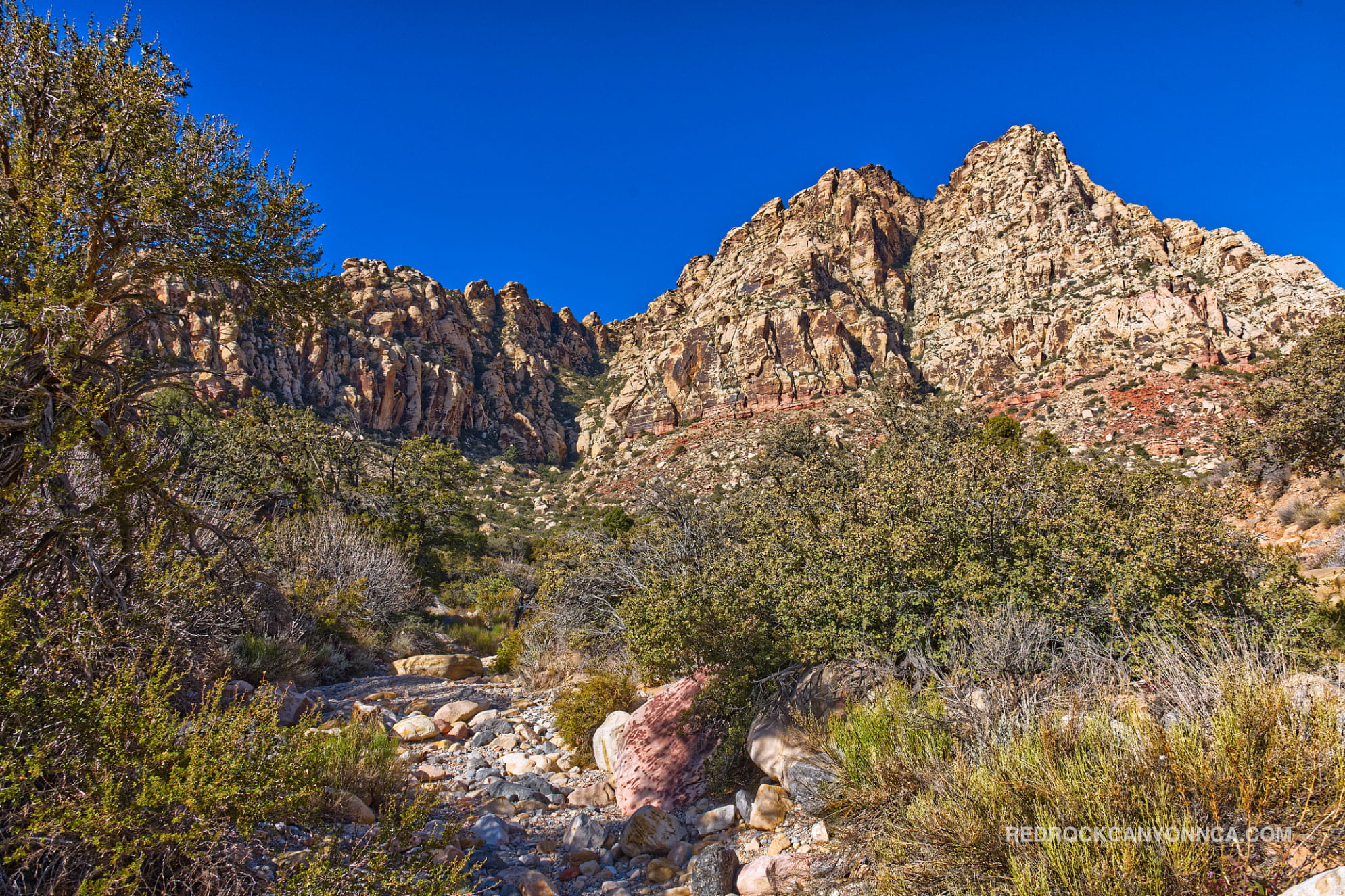
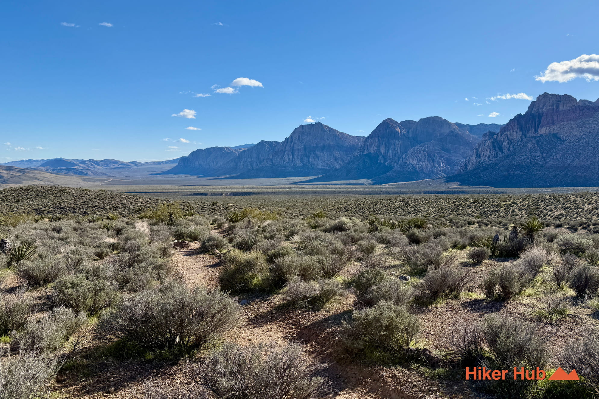
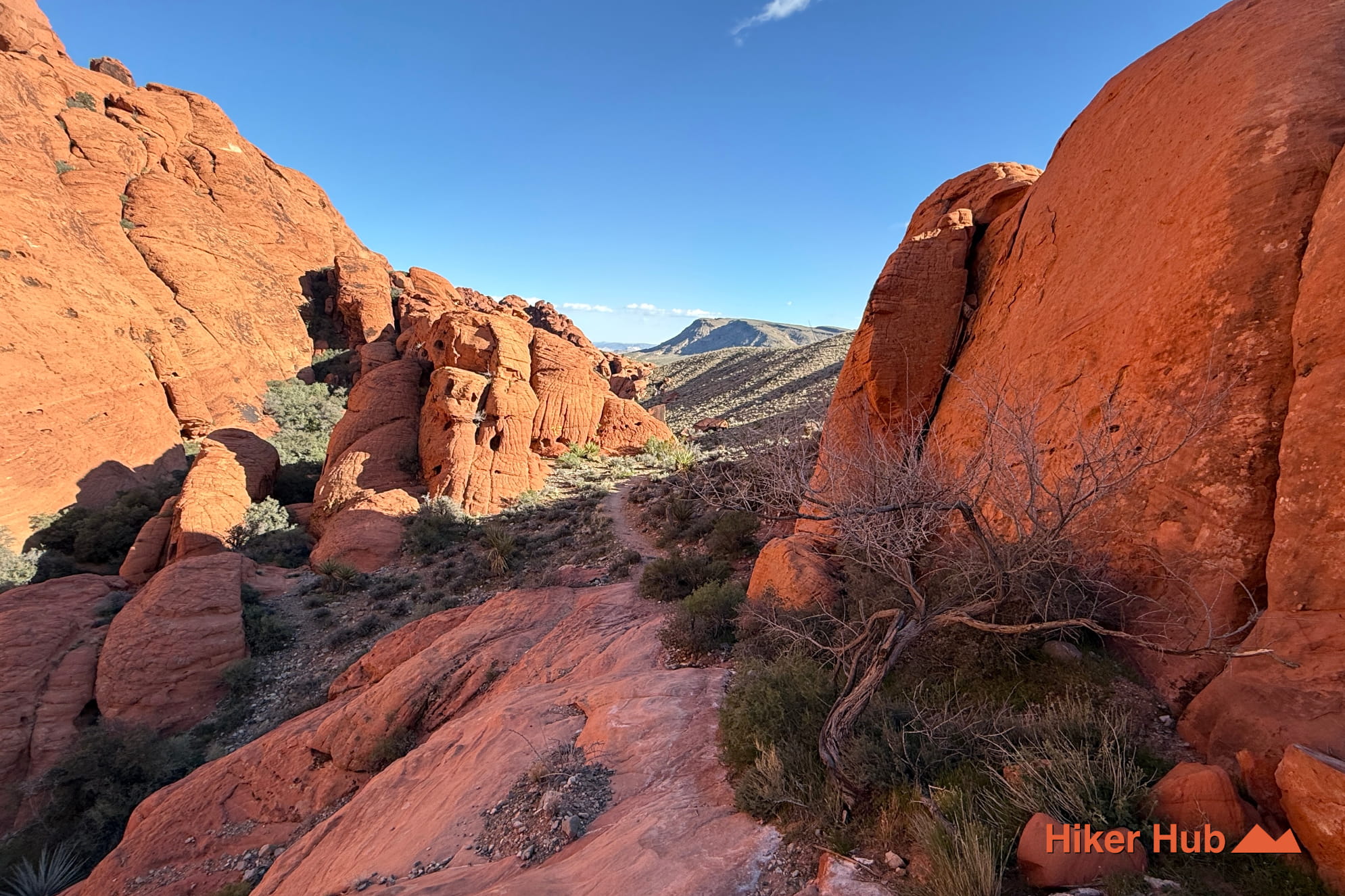
You’ll hike through a highly diverse terrain including but not limited to a spacious landscape with both very wide and narrow sections, a water source with flourishing moss, limestone and sandstone. Like many water sources, this one too is said to be a place where wildlife visits at dawn and dusk. You’ll have the opportunity to rock climb (no equipment necessary) through fascinating red rock, optionally climb through massive boulder tunnels and explore the under belly of both Calico Hills trails.
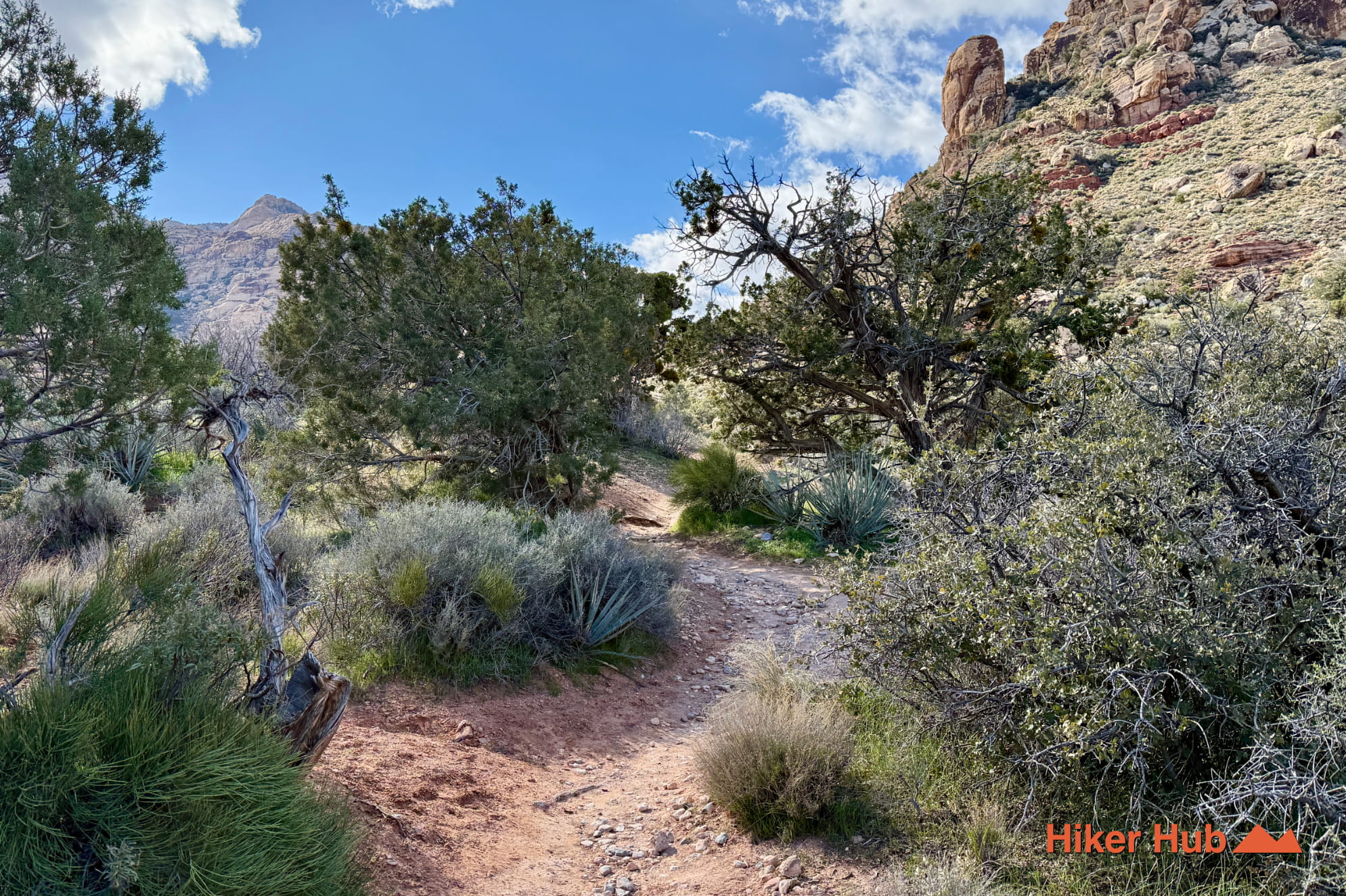
The Grand Circle Loop trail is far from as difficult as other trails of the same distance. There's no scrambling, route finding, or bouldering. It's largely a well defined, frequently traveled trail with an innumerable amount of fascinating views and unique vantage points. It's undoubtedly the longest aside from Bridge Mountain and North Peak and nowhere close to as strenuous.
Traveling to Las Vegas for a quick trip and want to spend time in Red Rock Canyon National Conservation Area? Grab your hiking shoes and jump on this trail to get a thorough understanding of the parks layout, geology, and landscape.
Recommended gear
Gear picks are matched to this route using distance, difficulty, terrain, and desert conditions.
Disclosure: some links may be affiliate links. Red Rock Hiker Hub may earn a commission at no extra cost to you.
Water carry
Useful for exposed desert routes where one small bottle is not enough.
View hydration packsFooting
Better traction helps on loose gravel, sandstone, rocky washes, and steeper trails.
View trail shoesHeat support
Helpful on hot days, longer hikes, and steep routes where plain water may not be enough.
View electrolytesShade
Simple shade matters on open desert terrain, sandstone slabs, and long approaches.
View hiking hatsSun protection
A lightweight sun layer is one of the most useful pieces of gear for Red Rock exposure.
View sun hoodiesSafety
Worth carrying for cactus spines, scrapes, blisters, and minor trail injuries.
View first aid kits