Water carry
3L Hydration Pack
Useful for exposed desert routes where one small bottle is not enough.
View hydration packsRed Rock Canyon, Las Vegas
1.34 miles • Easy • Trail
Conditions, access, and regulations can change. Always verify current information and assess safety before visiting.
Offline maps coming soon. Be first to access downloadable routes.
Some listings may be paid partnerships.
Know a useful stop near this trail? Suggest a business
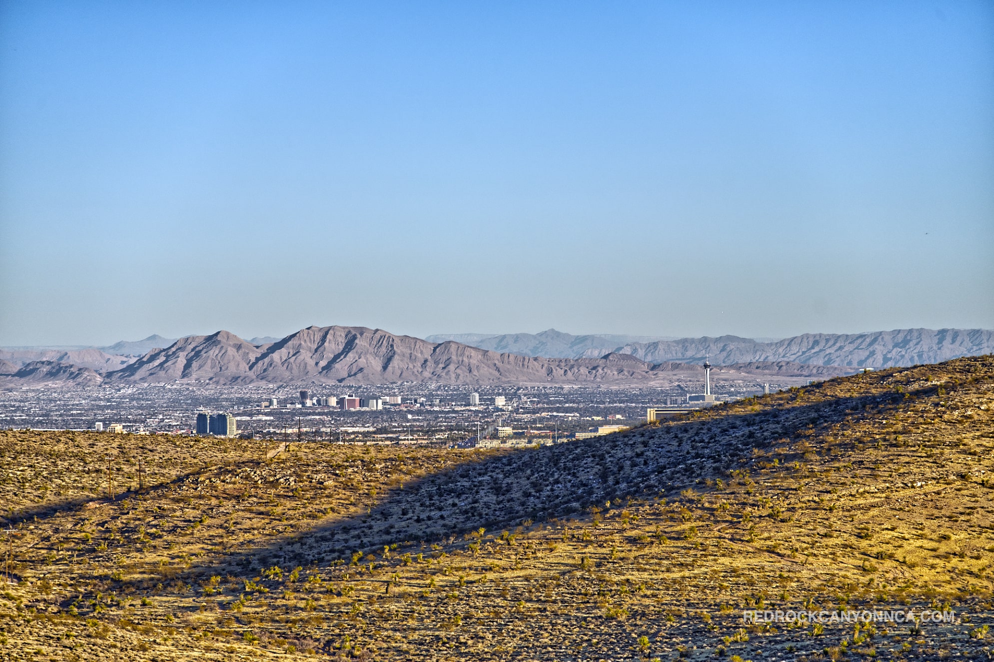
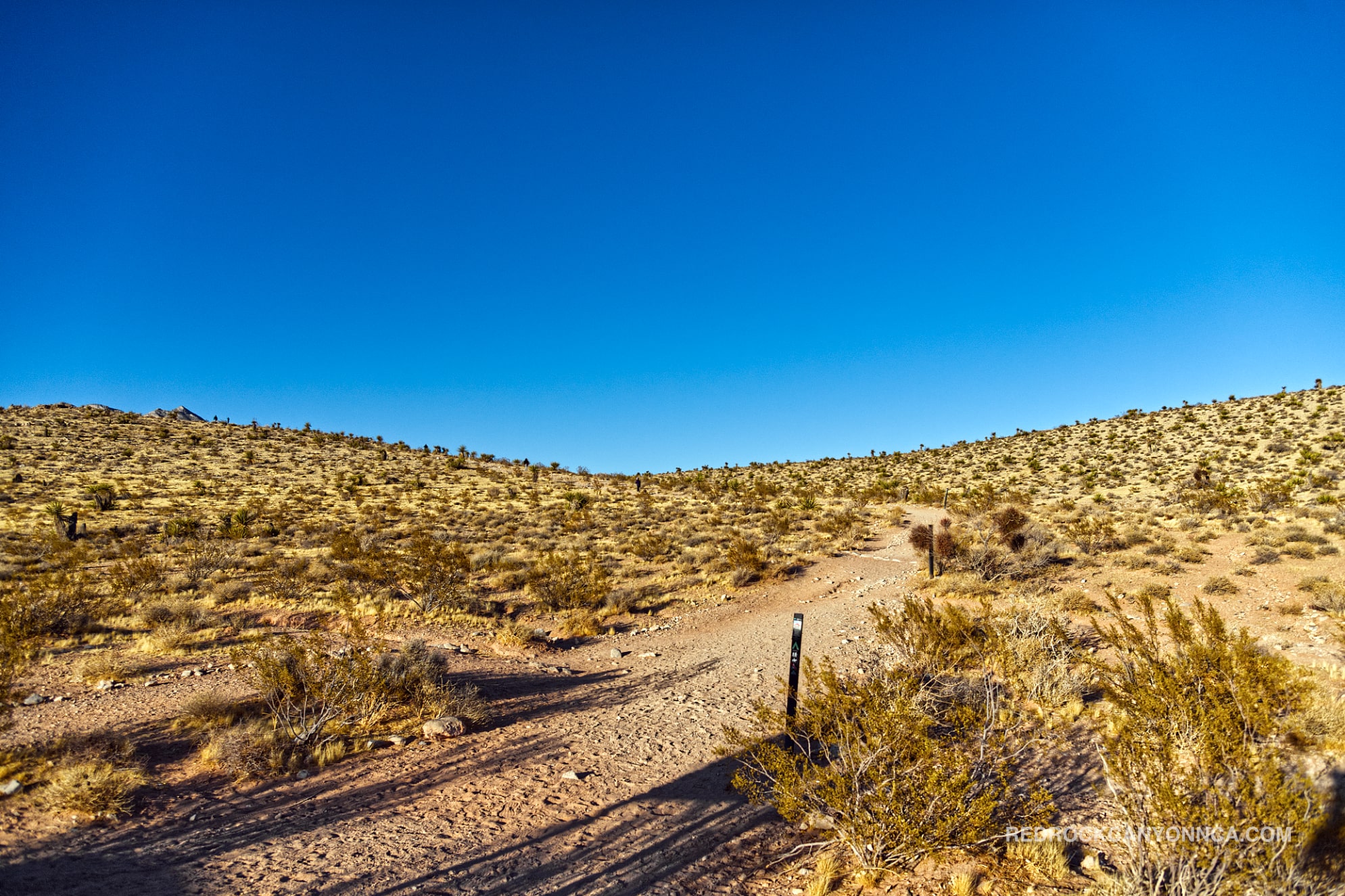
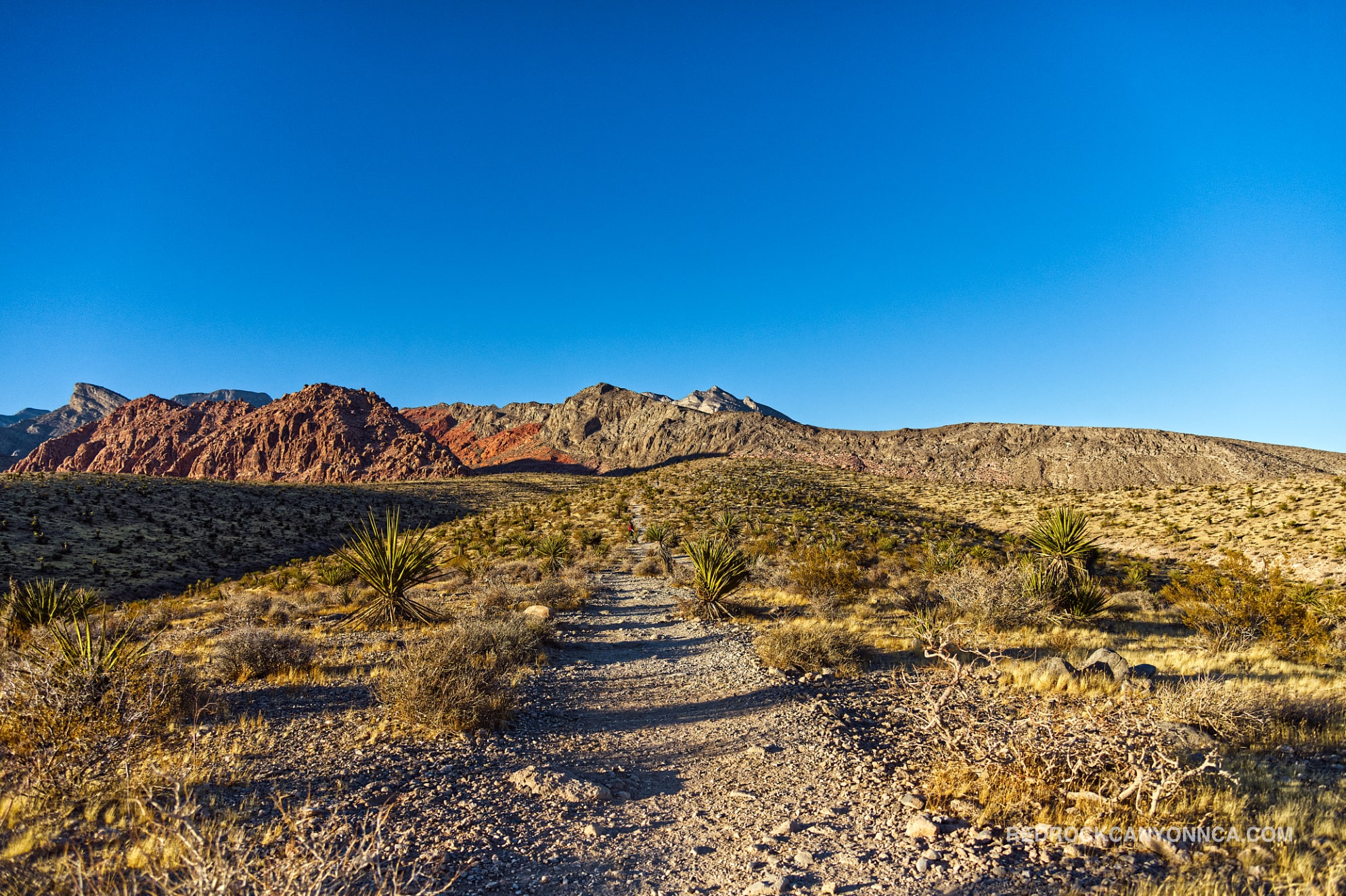
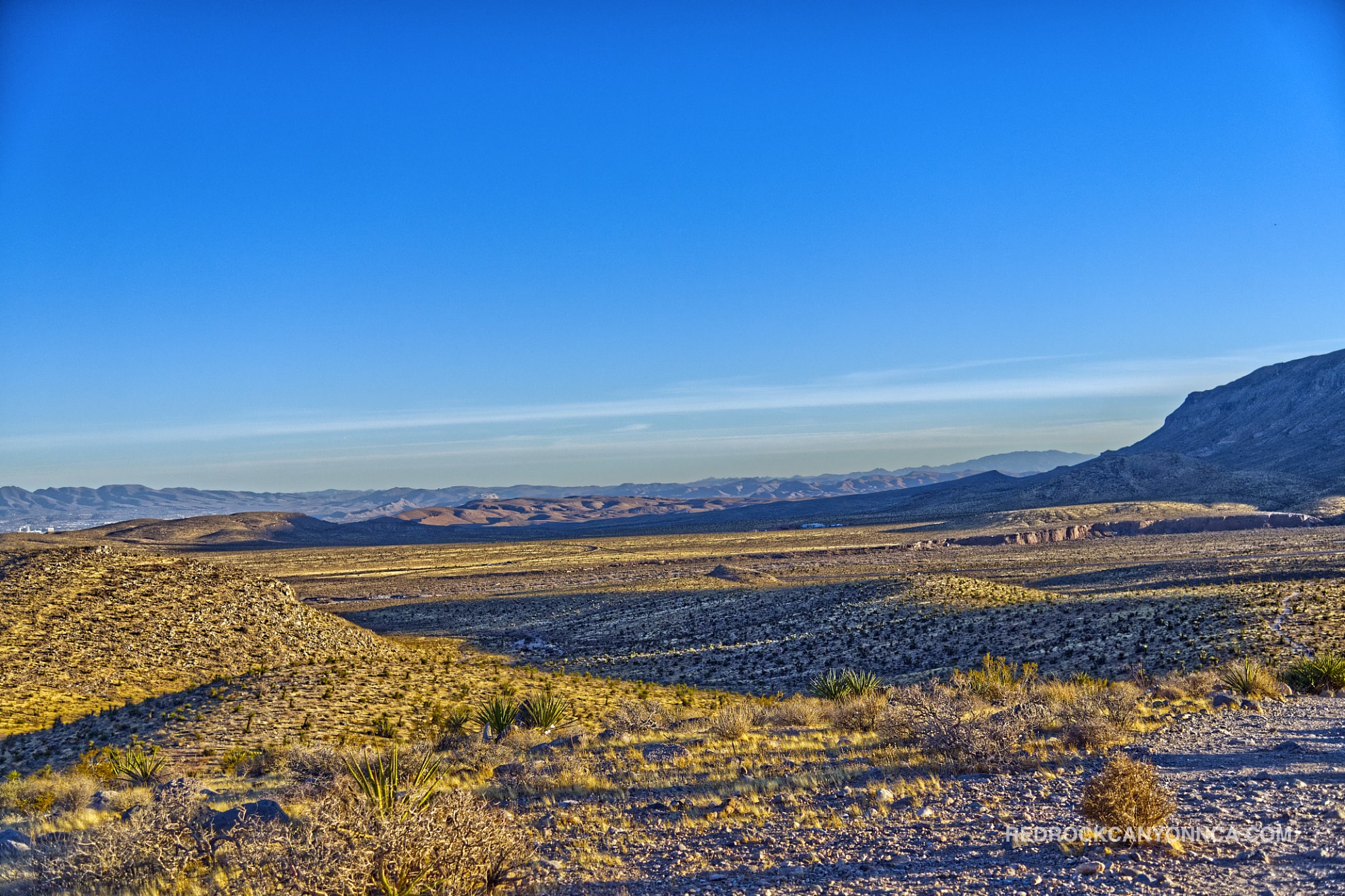
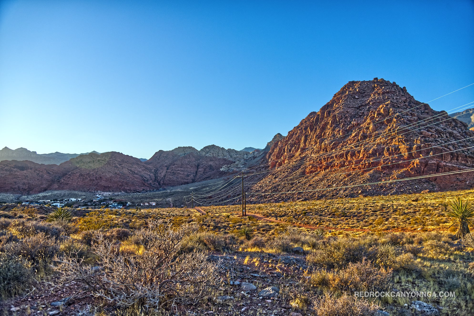
Gene’s Trail is a moderate, lesser-traveled connector along the southern edge of Calico Basin. The official route climbs a noticeable opening hill, then meanders through rolling desert until it meets Kraft Mountain Loop. Its appeal is not one dramatic destination but a sequence of open views: vivid sandstone framing Turtlehead Peak, Summerlin spreading to the east, and the Spring Mountains rising beyond the basin.
Access is from the Calico Basin Road area outside the Red Rock Canyon Scenic Loop. The trail sits close to Red Spring, Kraft Mountain, and Calico Basin Trail, yet it feels removed from the climbing and hiking hub after the first rise. The official BLM route is approximately 2.6 miles and functions as a practical connector for longer loops.
Hikers can continue toward Kraft Mountain, return through the basin, or use Gene’s as one half of Gene’s Extended Loop. Nearby Ash Spring and Girl Scout Trail provide shorter, easier additions when more distance is wanted without committing to Kraft’s scramble sections.
Gene’s crosses gravelly foothills and shallow washes below the Calico Hills. The trail itself is largely on alluvial material eroded from the surrounding mountains, while the dominant view is Jurassic Aztec Sandstone. Ancient windblown dunes hardened into red, orange, cream, and white rock, then weathered into the cliffs and patterned slabs that make Calico Basin one of the most recognizable landscapes in the American Southwest.
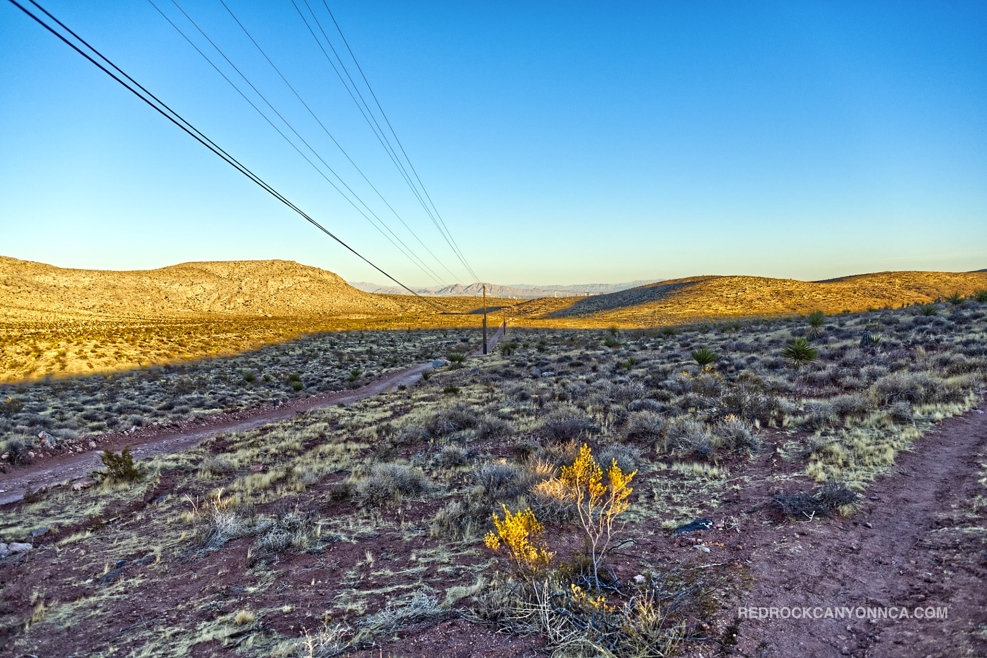
Because the terrain remains open, every small ridge changes the composition. Turtlehead Peak appears between colored walls, the city emerges behind low hills, and Kraft Mountain looks different from each side. This Red Sandstone photo story gives a close view of the geology that frames the route.
Gene’s is a good fit for intermediate hikers, trail runners, photographers, and visitors who want a moderate climb without scrambling. Fit beginners can manage it if they're prepared for the opening incline and exposed conditions. Hiking shoes help on loose gravel and embedded rock, but the trail is more predictable than the primitive Cowboy Trails or the upper Calico View route.
The route is especially rewarding at sunrise and sunset. Morning light ignites the Calico Hills; evening light softens the basin and brings the Vegas skyline into view. It can be a quiet place for nature and introspection even when the nearby Kraft lot is busy.
Gene’s receives far less foot traffic than Kraft Mountain Loop or the Red Spring boardwalk. Parking can still be crowded on cool weekends because several popular trails share the area. Once over the first hill, hikers commonly see only a few people.
October through April is the best season. The route has no dependable water and almost no shade. Summer hiking should be restricted to genuinely cool early hours, and thunderstorms can send runoff through washes. Winter brings clearer city views and occasional snow on the Spring Mountains. Start with enough daylight to complete any added loop rather than improvising after sunset.
Gene’s Trail is not the most famous of the red rock canyon hikes, which is precisely why it works. It gives visitors the colors, geology, and mountain scale associated with Red Rock Canyon LV while avoiding the density of the main attractions. Taken alone, it's a satisfying moderate outing. Used as a connector, it becomes one of the most useful building blocks in Calico Basin.
Recommended gear
Gear picks are matched to this route using distance, difficulty, terrain, and desert conditions.
Disclosure: some links may be affiliate links. Red Rock Hiker Hub may earn a commission at no extra cost to you.
Water carry
Useful for exposed desert routes where one small bottle is not enough.
View hydration packsShade
Simple shade matters on open desert terrain, sandstone slabs, and long approaches.
View hiking hatsSun protection
A lightweight sun layer is one of the most useful pieces of gear for Red Rock exposure.
View sun hoodiesSkin protection
Small, easy to carry, and useful on nearly every Southern Nevada trail.
View SPF essentialsFooting
Better traction helps on loose gravel, sandstone, rocky washes, and steeper trails.
View trail shoesHeat support
Helpful on hot days, longer hikes, and steep routes where plain water may not be enough.
View electrolytes