Footing
Rocky-Terrain Trail Shoes
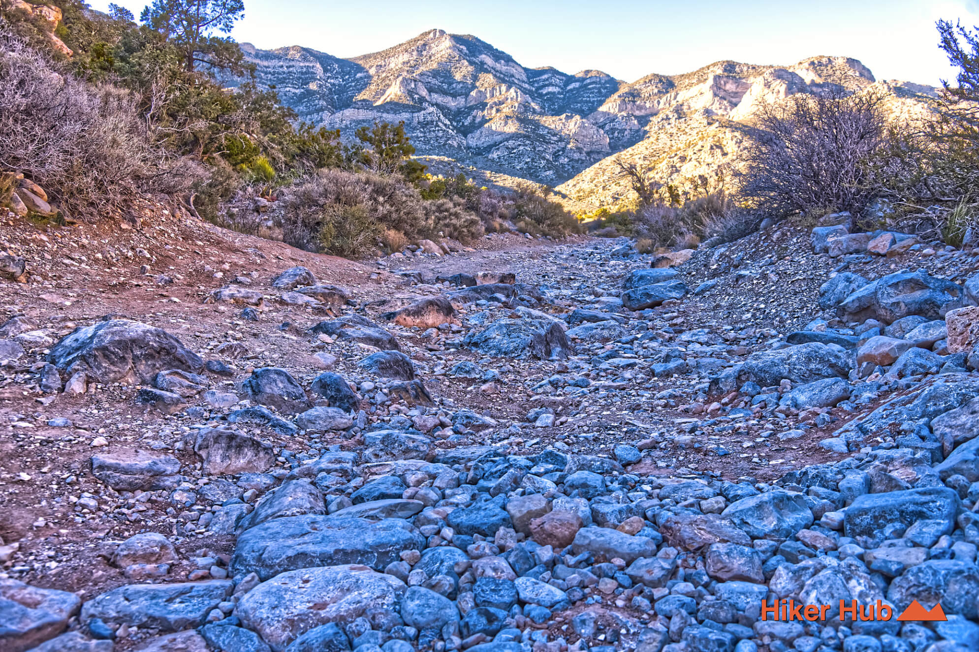
Better traction helps on loose gravel, sandstone, rocky washes, and steeper trails.
View trail shoesRed Rock Canyon, Las Vegas
2.17 miles • Moderate • Trail
Conditions, access, and regulations can change. Always verify current information and assess safety before visiting.
Offline maps coming soon. Be first to access downloadable routes.
Some listings may be paid partnerships.
Know a useful stop near this trail? Suggest a business
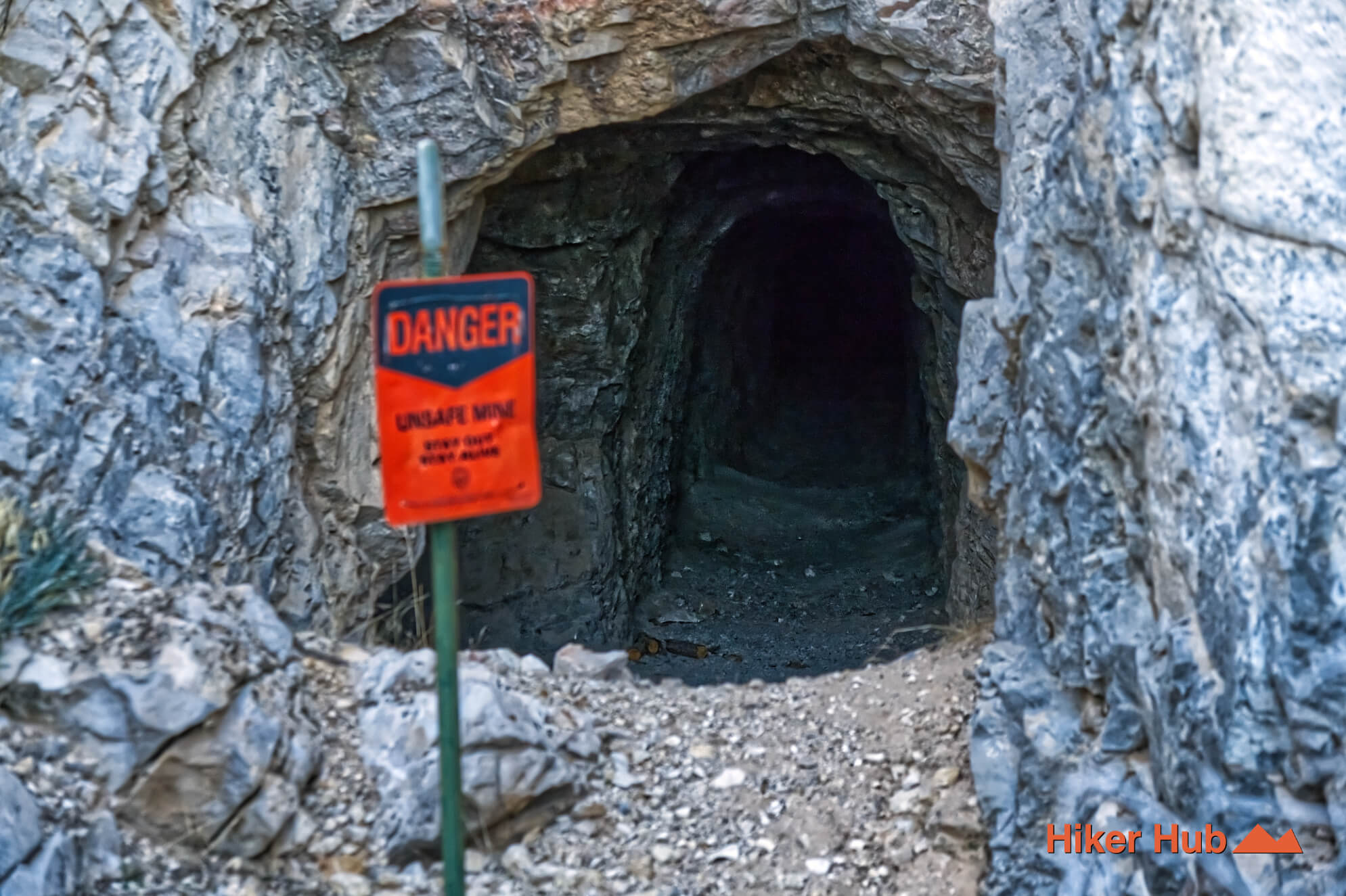
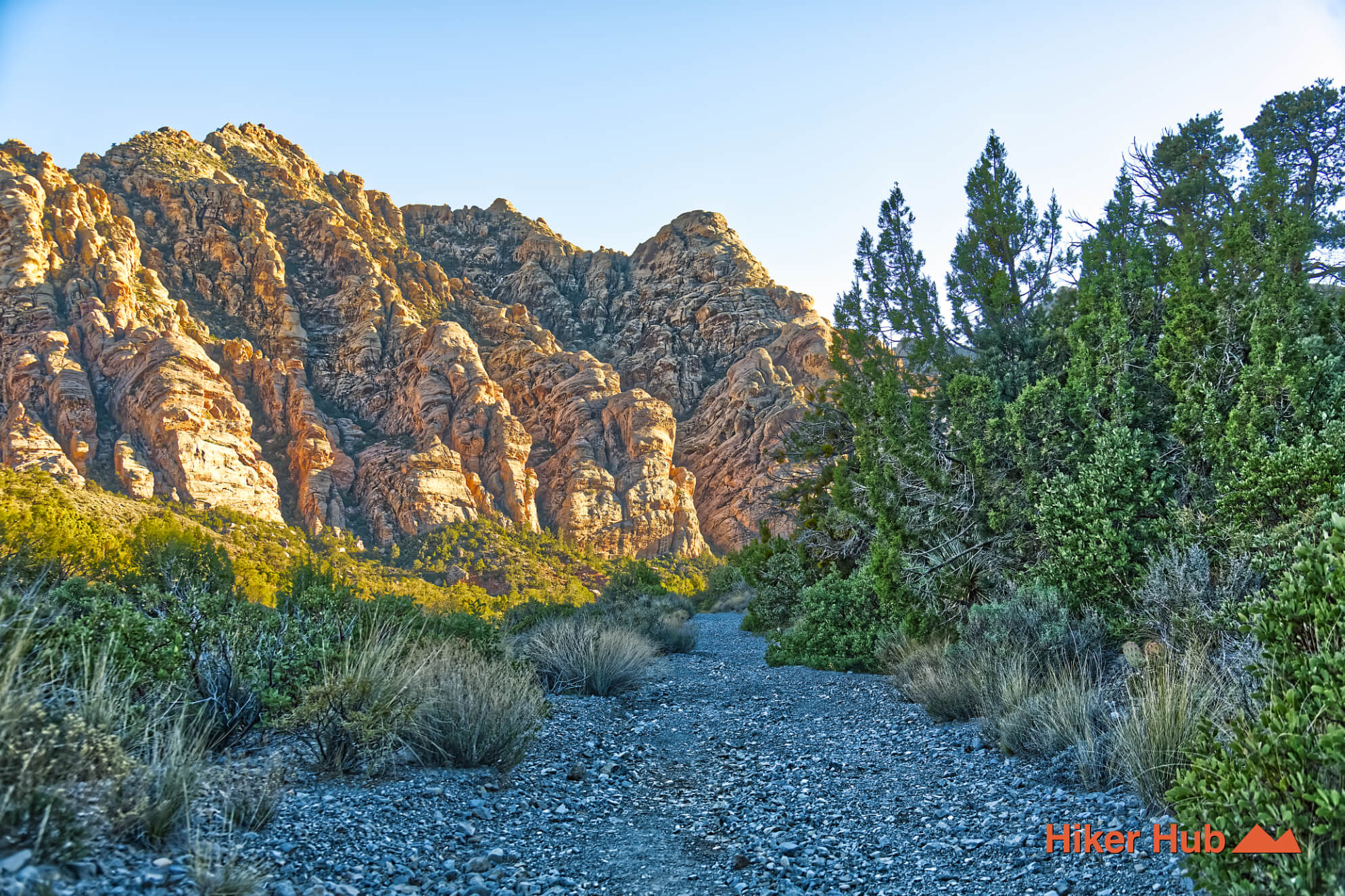
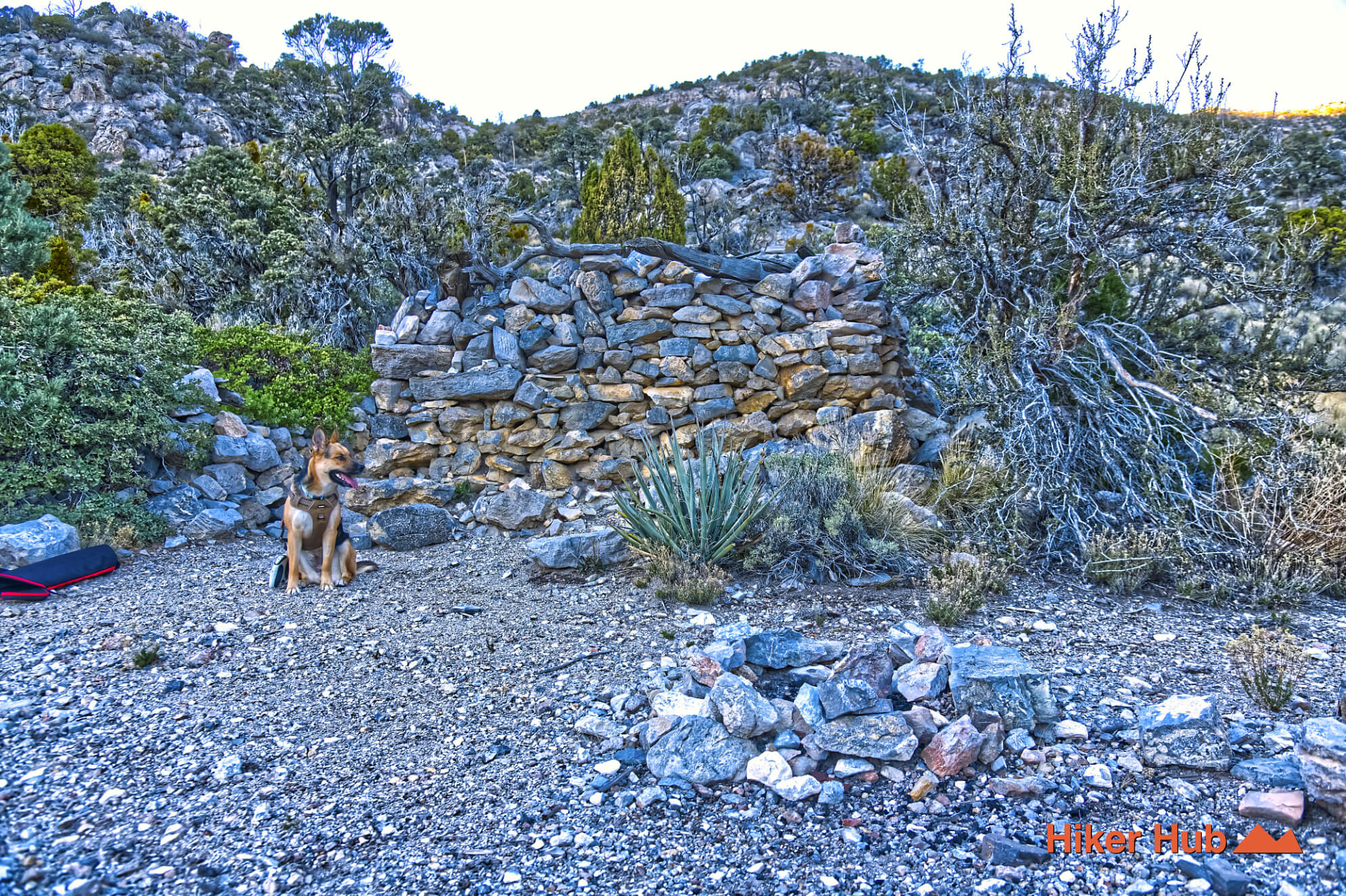
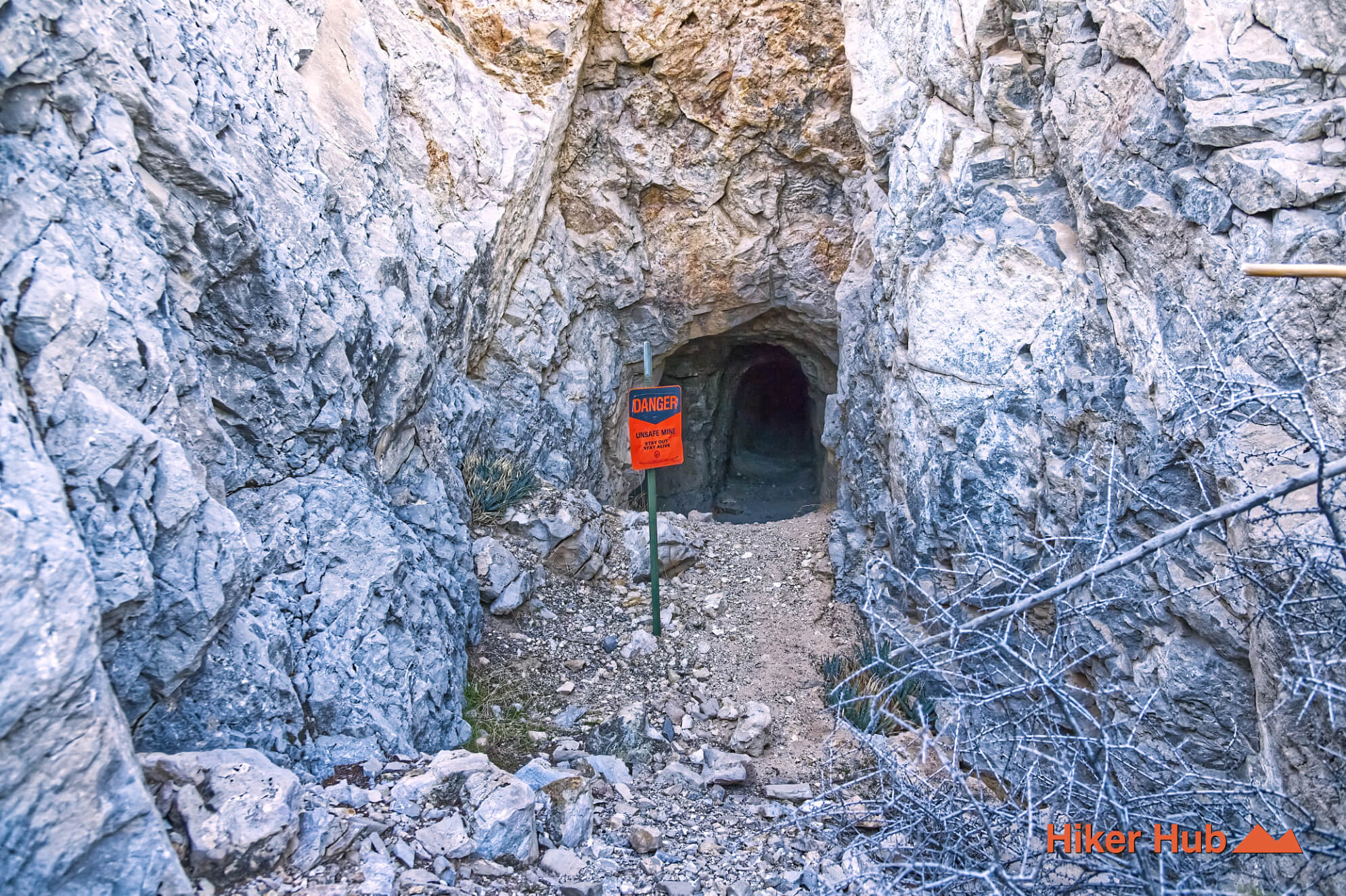
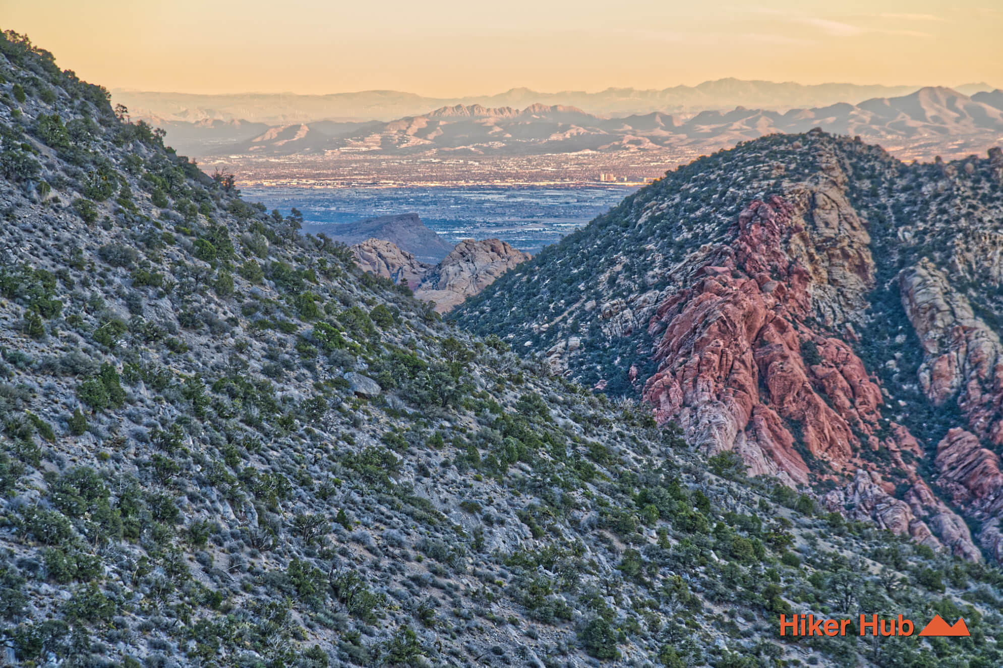
The Miner’s Cabin Red Rock Canyon route leads to a quiet historic remnant tucked into rugged, wilderness terrain. Information online is scattered and often incomplete—this page consolidates what to expect, what the route feels like on the ground, and why this spot is worth the effort if you’re seeking solitude and a glimpse into the area’s mining-era past.
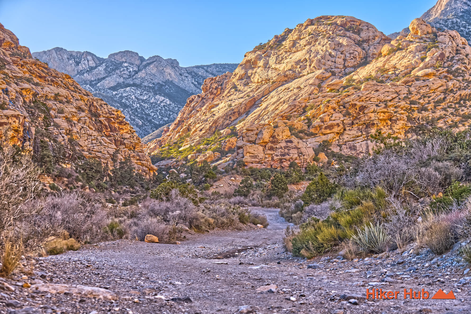
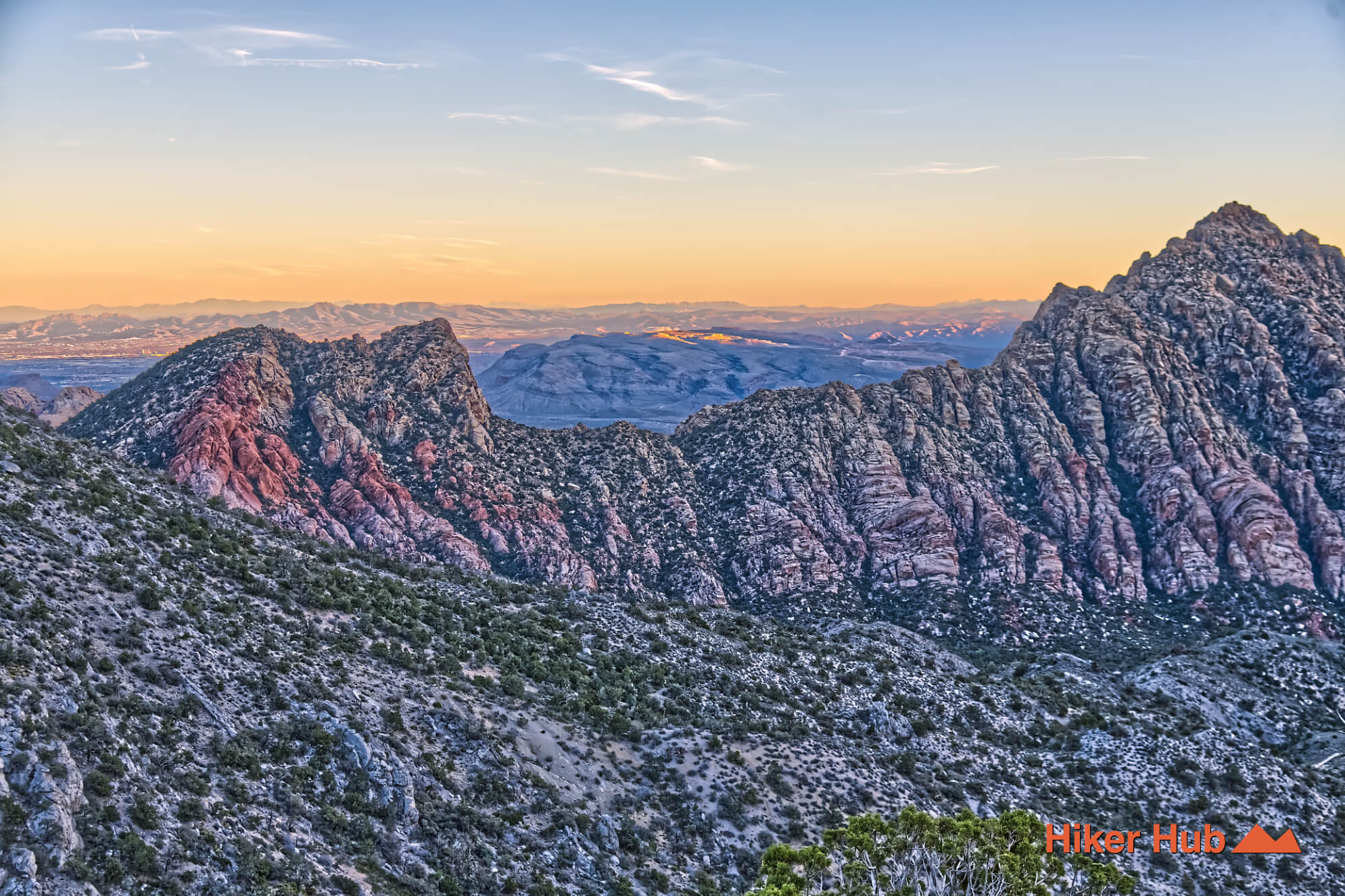
What makes the destination compelling is the contrast: a simple structure and remnants of human history set against vast, quiet desert landscape. The journey can be good in cooler months, while warmer seasons increase exposure. Plan for self-sufficiency and treat the area with care—this is a place where you’ll often find few to zero other hikers.
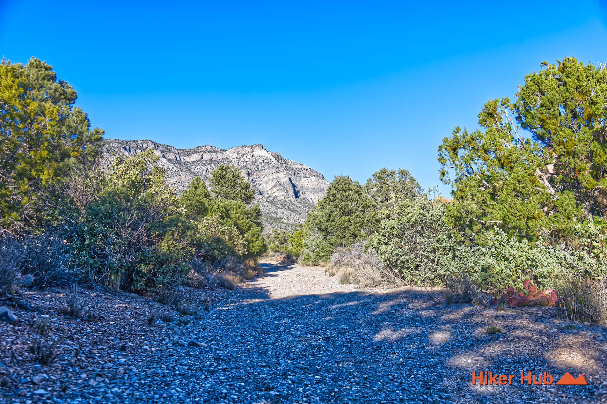
Beyond the La Madre Spring, the trail does in fact continue, but then forks in multiple directions several times.
Because this is an unofficial, lightly traveled route, avoid disturbing sensitive areas, and never remove or rearrange artifacts. Historic sites degrade quickly when handled or “improved.” The goal is to experience the location while leaving it exactly as you found it.
Recommended gear
Gear picks are matched to this route using distance, difficulty, terrain, and desert conditions.
Disclosure: some links may be affiliate links. Red Rock Hiker Hub may earn a commission at no extra cost to you.
Footing
Better traction helps on loose gravel, sandstone, rocky washes, and steeper trails.
View trail shoesSafety
Worth carrying for cactus spines, scrapes, blisters, and minor trail injuries.
View first aid kitsWater carry
Useful for exposed desert routes where one small bottle is not enough.
View hydration packsShade
Simple shade matters on open desert terrain, sandstone slabs, and long approaches.
View hiking hatsSun protection
A lightweight sun layer is one of the most useful pieces of gear for Red Rock exposure.
View sun hoodiesPhone backup
Useful when taking photos, checking maps, or spending a long day outside.
View power banks