Water carry
3L Hydration Pack
Useful for exposed desert routes where one small bottle is not enough.
View hydration packsRed Rock Canyon, Las Vegas
6.26 miles • Moderate • Trail
Conditions, access, and regulations can change. Always verify current information and assess safety before visiting.
Offline maps coming soon. Be first to access downloadable routes.
Some listings may be paid partnerships.
Know a useful stop near this trail? Suggest a business
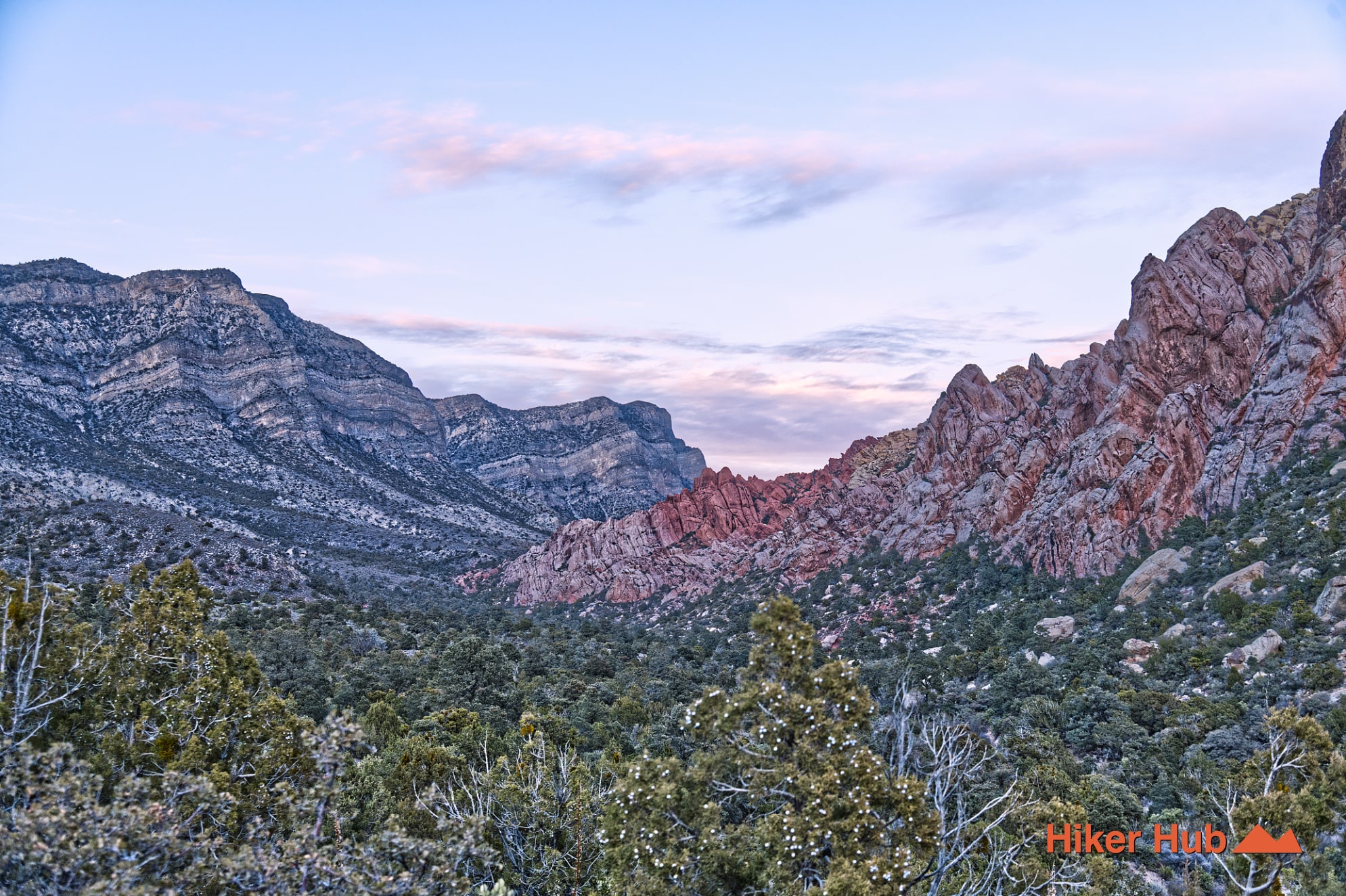
The White Rock Hills sit at one of the most geologically dramatic boundaries in Red Rock Canyon Las Vegas—where the ancient Keystone Thrust pushed older gray limestone up and over younger red and cream-colored sandstone. This rare collision of rock layers created the stark division visible throughout the area: limestone ridges to the north and west, and colorful Aztec Sandstone formations to the south and east. The thrust fault not only shaped the region’s rugged topography but also influenced its ecology, providing a mix of shaded canyons, cooler air pockets, and sunlit slopes.
Don't think though that the Keystone Thrust is responsible for the park. The Keystone Thrust did indeed heavily influence what we see today, but the park itself was purportedly created from activity in the Sierra Nevadas.
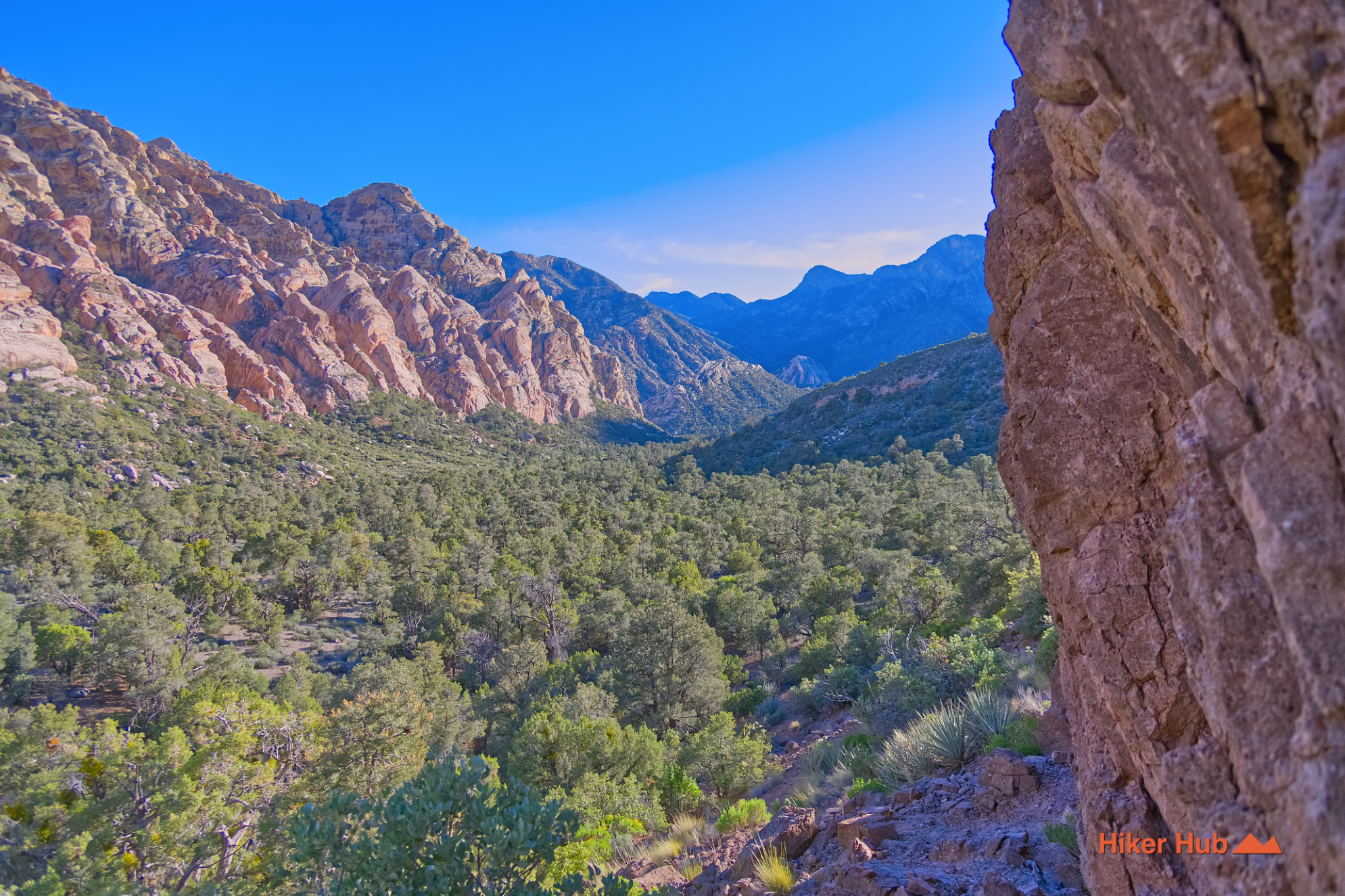
Because of this blend of rock types and microclimates, the white rock hills support some of the densest and greenest vegetation in Red Rock Canyon Las Vegas. Juniper, pinyon pine, scrub oak, and desert shrubs flourish where cool limestone meets heat-absorbing sandstone. Springs once flowed along these contact zones, leaving behind the distinctive black streaks on sandstone walls—mineral deposits carried through the rock by long-vanished water sources. These contrasting environments create a uniquely lush passage where wildlife, shade, and shifting temperatures make the area feel more vibrant than many surrounding regions.
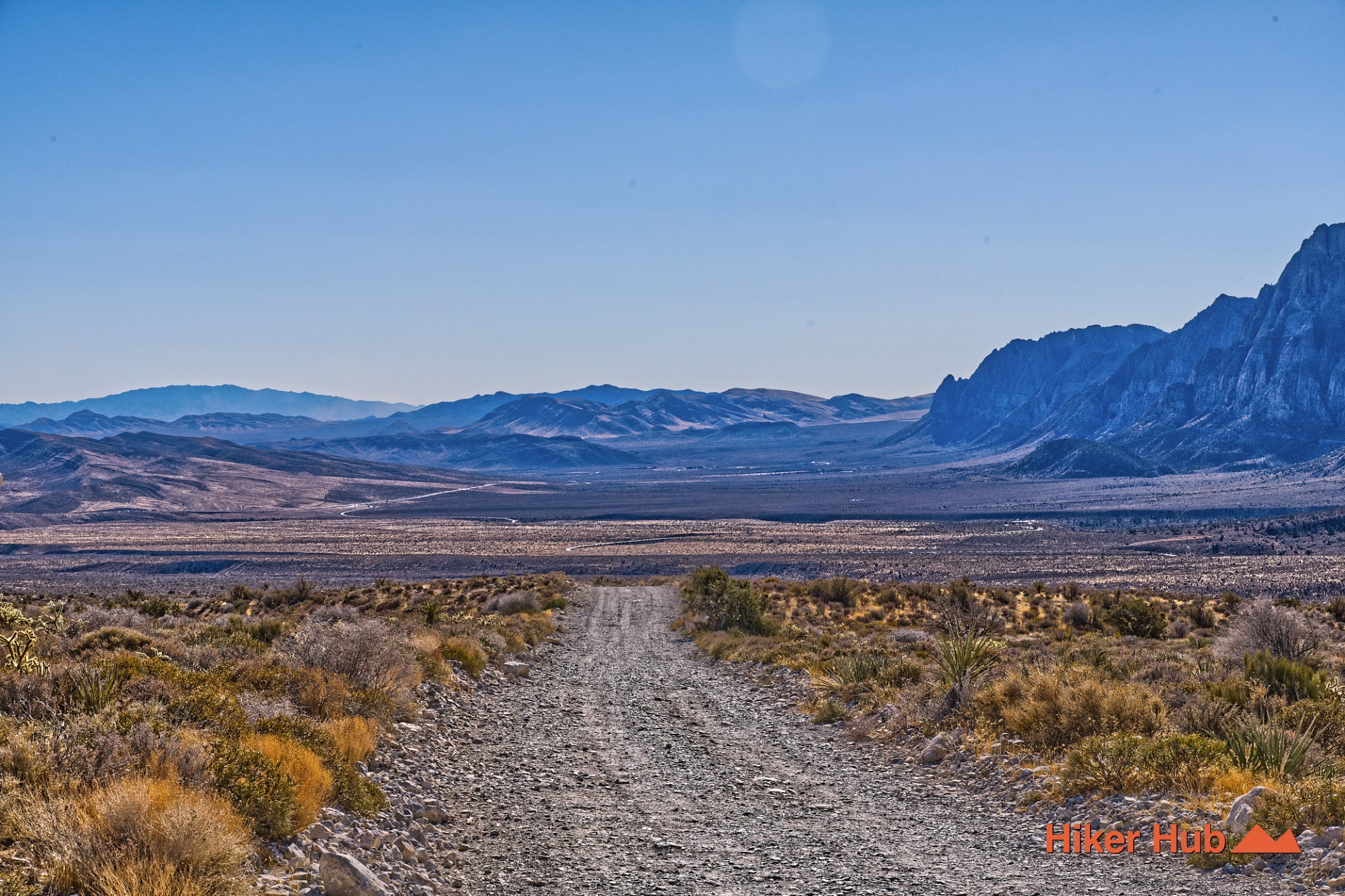
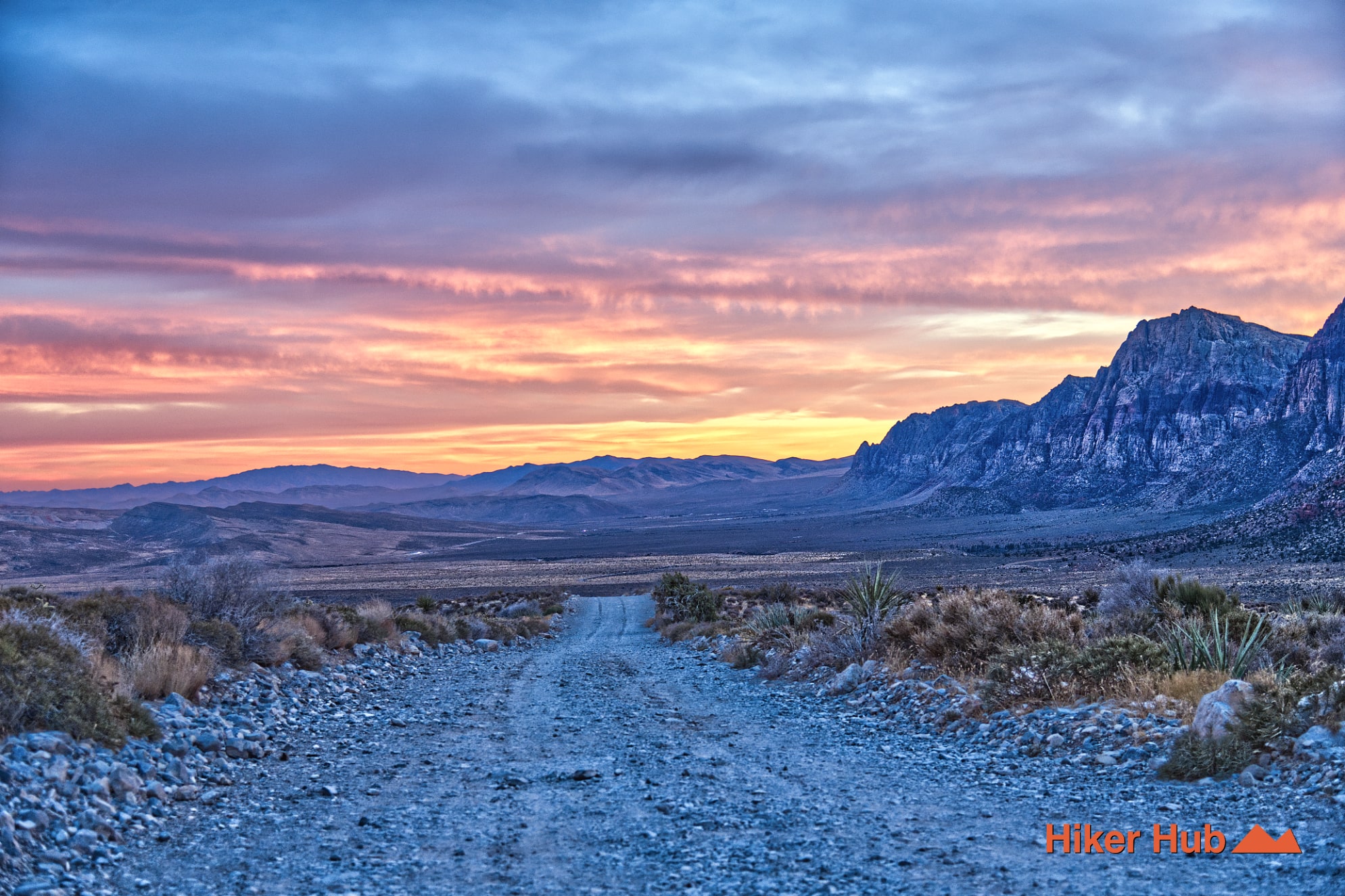
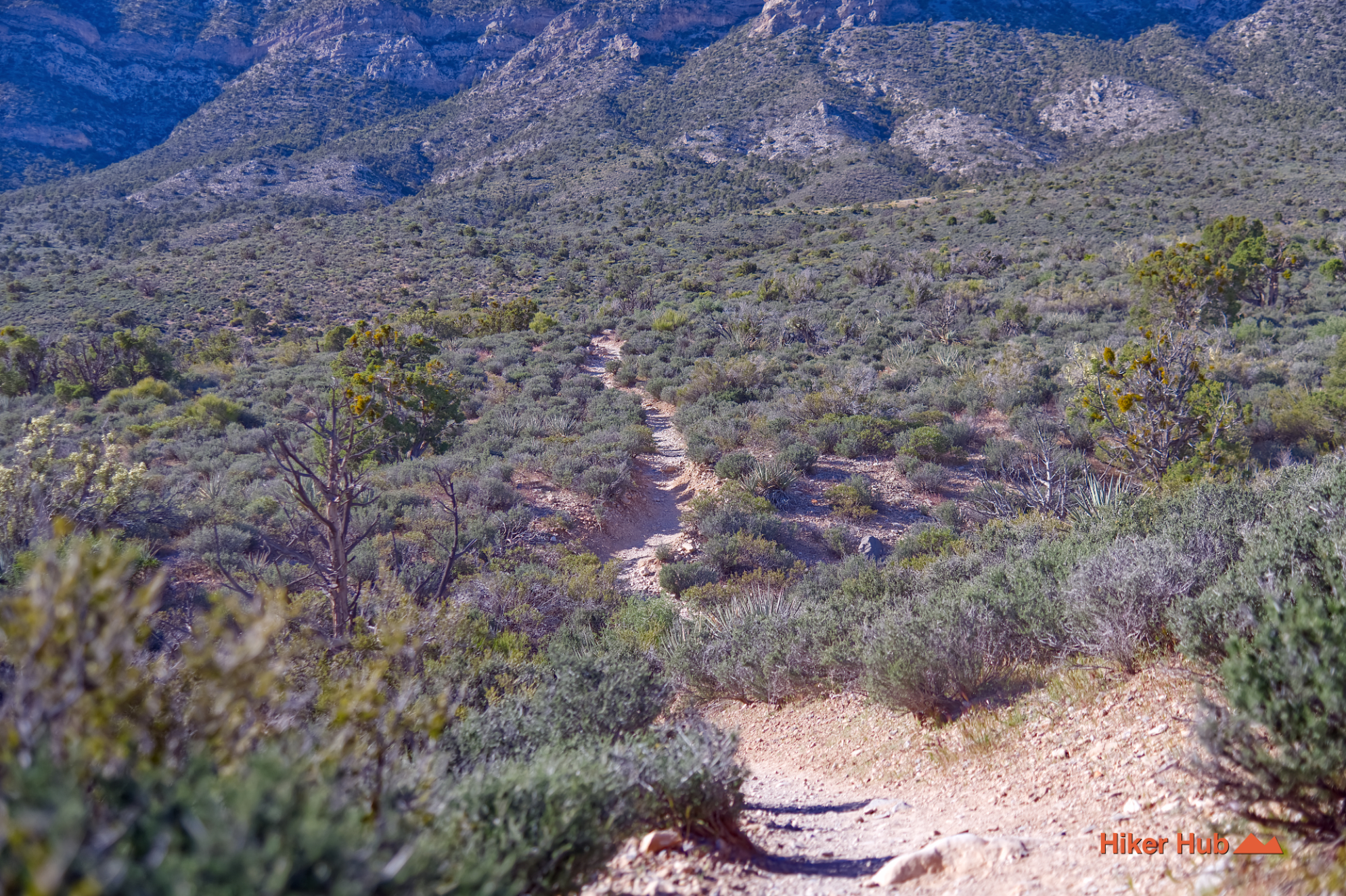
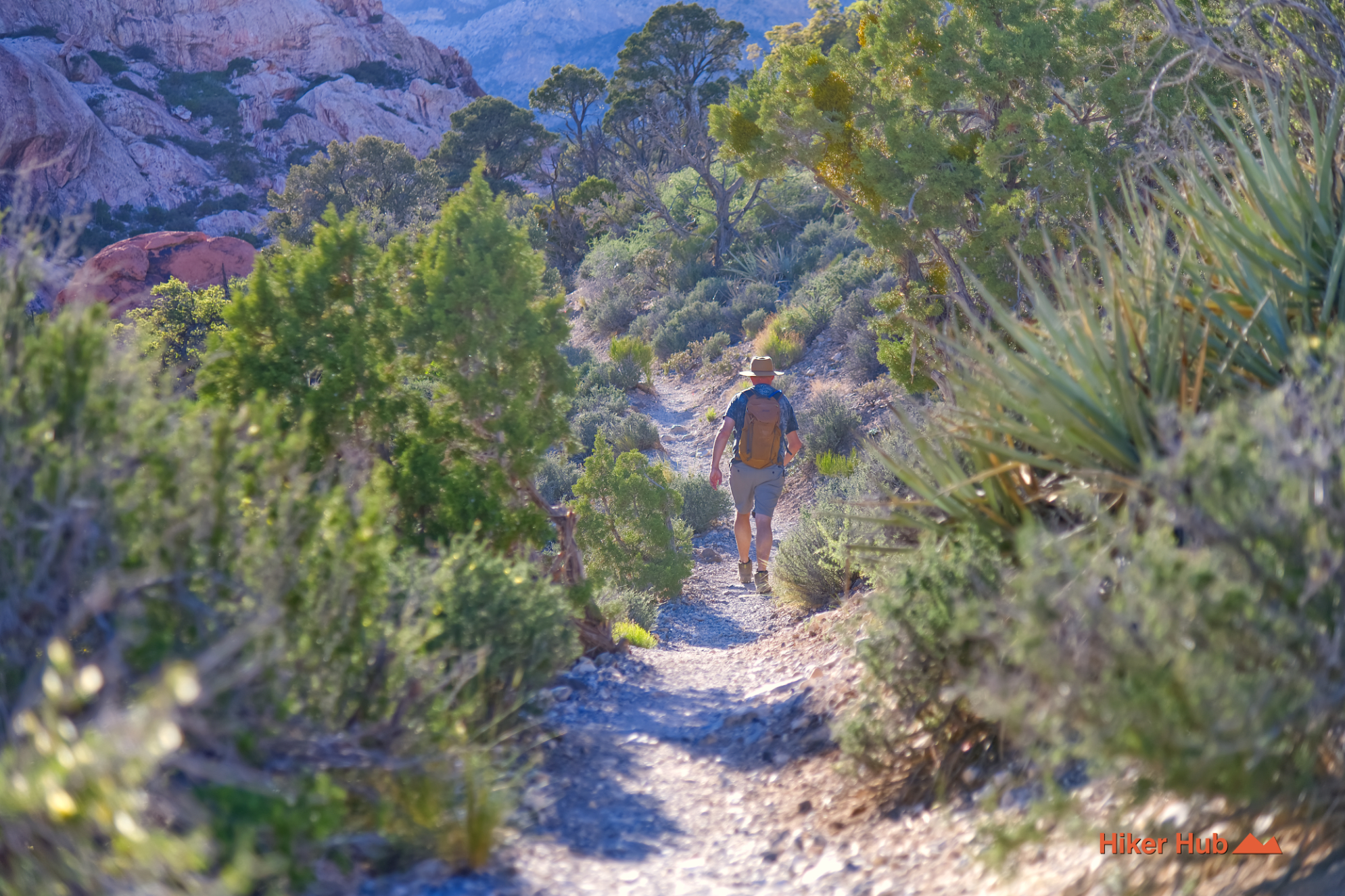
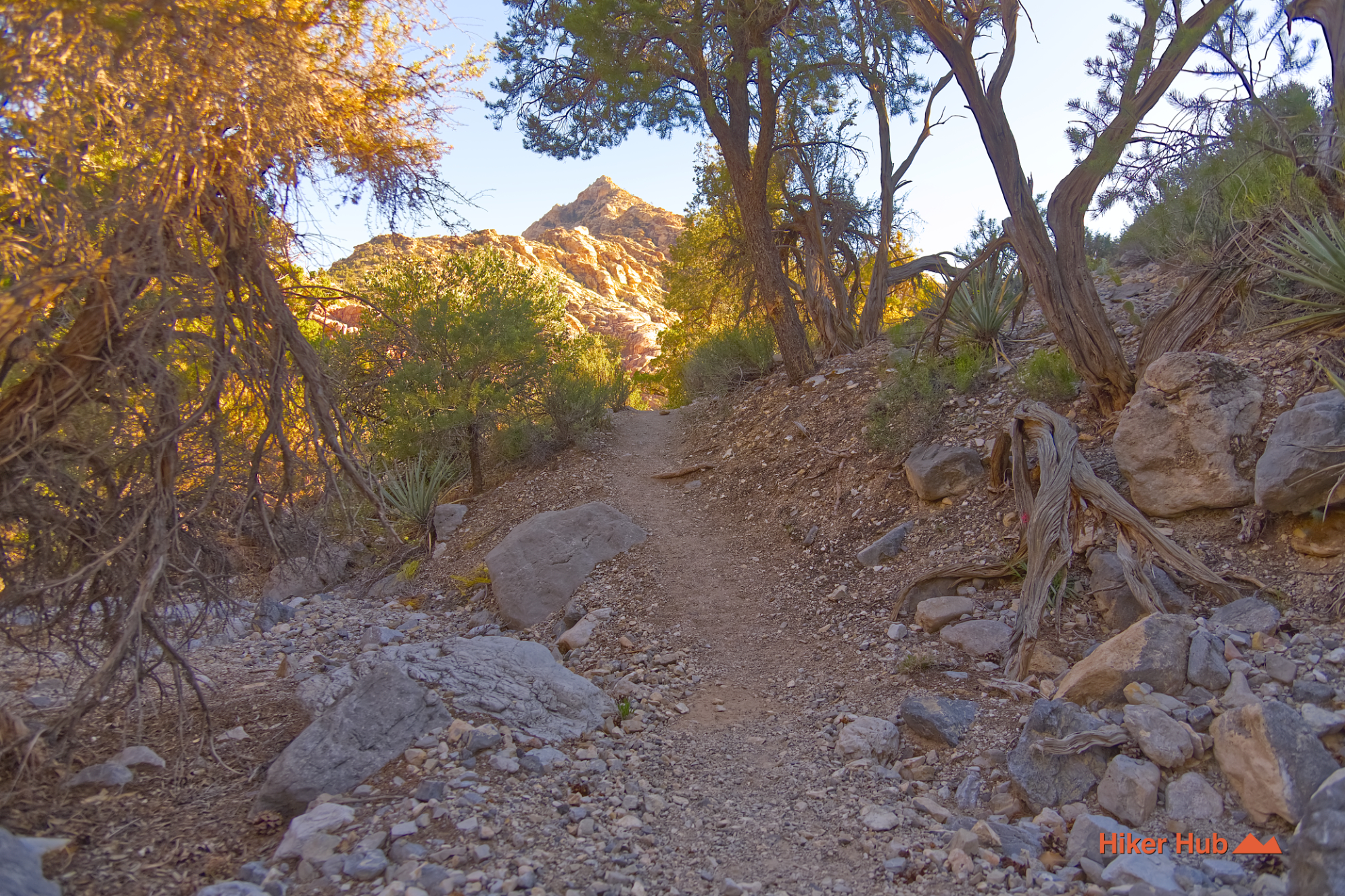
Irrespective of geology, this loop is an outstanding hike through wide open, exposed terrain mixed with shady sections, narrow and wide trails. It's a wonderful mix of greenery and Mojave style desert rolling hills. Undoubtedly, a favorite among Red Rock Canyon Las Vegas, and regional hiking in general.
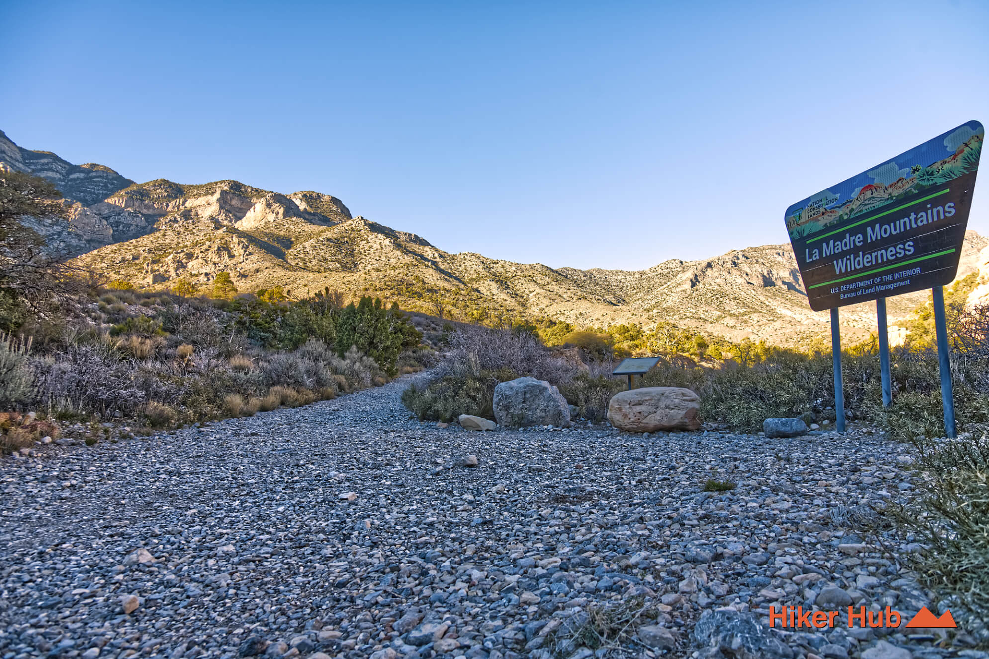
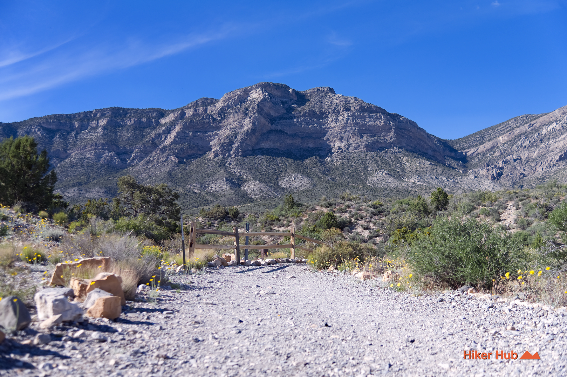
Starting at the White Rock Hills Loop parking lot, you'll quickly ascend into the mountains. The Keystone Thrust trail forks to the right not even ten minutes into the hike. This is but one of numerous trails you'll pass along the way.
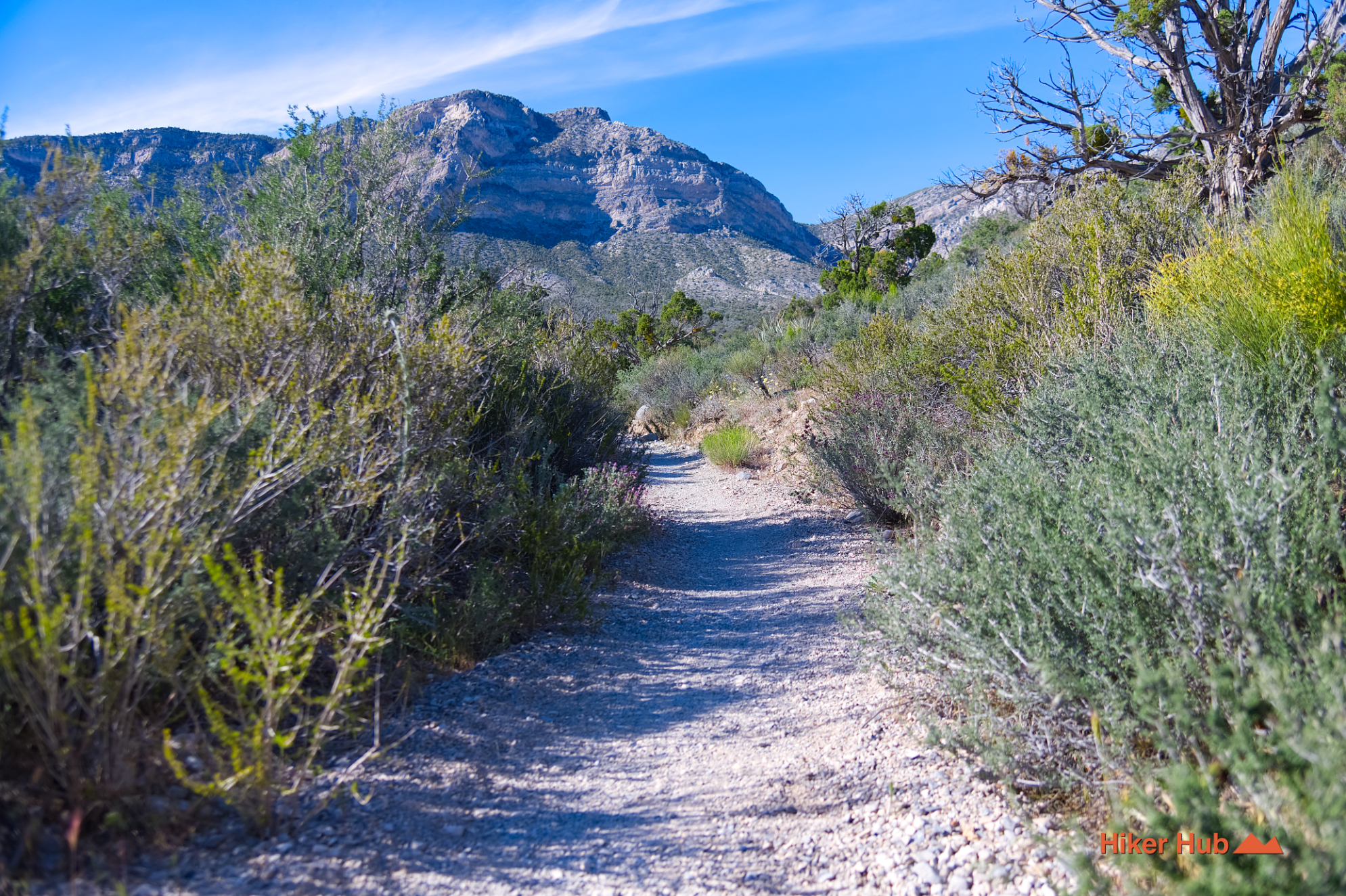
The basin behind you slowly disappears as white rock transitions to red. Rolling hills lead to a ravine—the heart of the Keystone Thrust fault. One side is rugged limestone while the other is rough, sinister looking sandstone. This YouTube short provides a quick overview of the mountains. Embarking through this green, lush valley takes hikers directly to a portion of the La Madre Spring trail—included in the White Rock Hills loop. Terrain diversity is astonishing as it's an array of shaded, exposed, and tight trails with dense Mojave foliage.
Beyond thereof, it becomes evident how extensive the Red Rock Canyon trail system actually is. The Willow Springs-Lost Creek area presents itself upon reaching roughly half way through the loop. This region is comprised of Willow Springs and Lost Creek Canyon in addition to Rocky Gap Rd—the entry point to Waterfall Canyon.
Recommended gear
Gear picks are matched to this route using distance, difficulty, terrain, and desert conditions.
Disclosure: some links may be affiliate links. Red Rock Hiker Hub may earn a commission at no extra cost to you.
Water carry
Useful for exposed desert routes where one small bottle is not enough.
View hydration packsShade
Simple shade matters on open desert terrain, sandstone slabs, and long approaches.
View hiking hatsSun protection
A lightweight sun layer is one of the most useful pieces of gear for Red Rock exposure.
View sun hoodiesFooting
Better traction helps on loose gravel, sandstone, rocky washes, and steeper trails.
View trail shoesHeat support
Helpful on hot days, longer hikes, and steep routes where plain water may not be enough.
View electrolytesSkin protection
Small, easy to carry, and useful on nearly every Southern Nevada trail.
View SPF essentials