Water carry
3L Hydration Pack
Useful for exposed desert routes where one small bottle is not enough.
View hydration packsRed Rock Canyon, Las Vegas
1.78 miles • Easy • Trail
Conditions, access, and regulations can change. Always verify current information and assess safety before visiting.
Offline maps coming soon. Be first to access downloadable routes.
Some listings may be paid partnerships.
Know a useful stop near this trail? Suggest a business
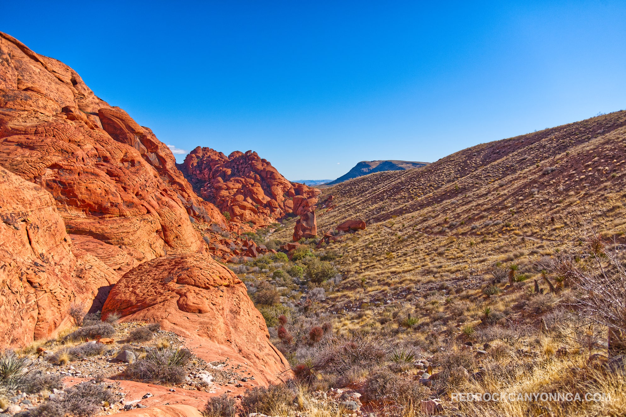
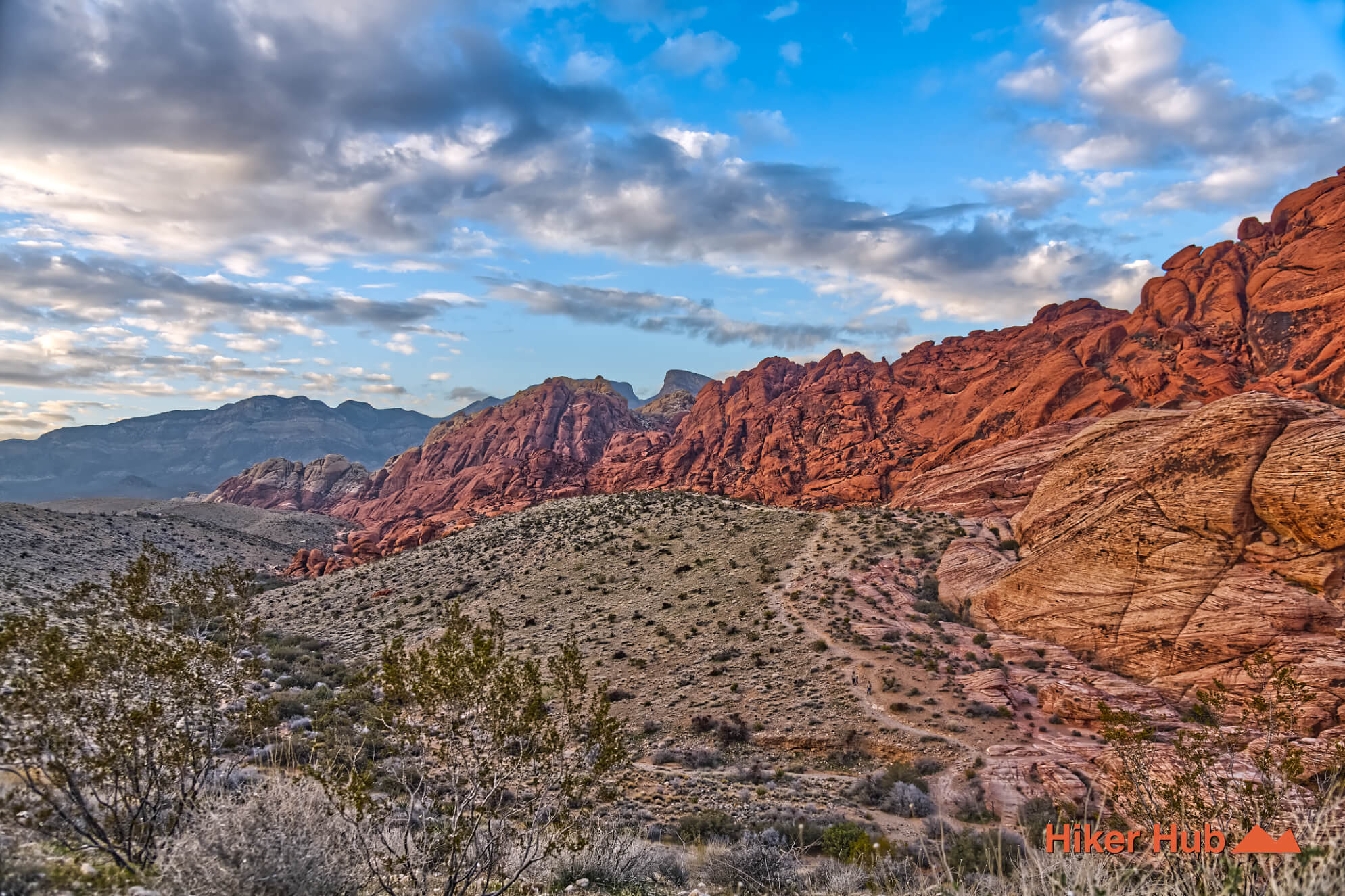
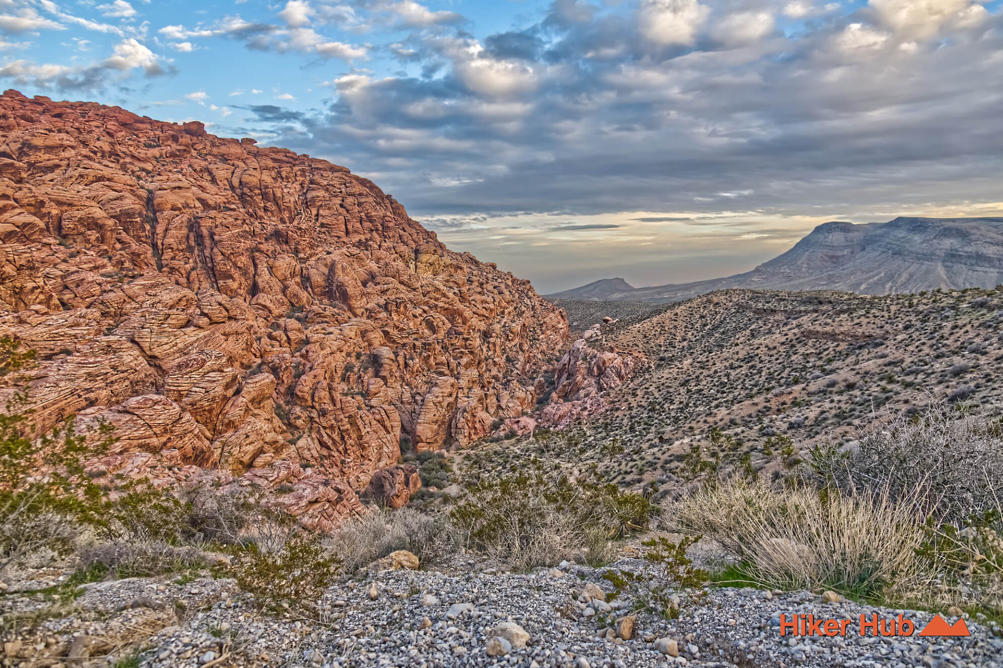
Calico Hills Trail is the signature red-sandstone hiking corridor near the entrance of Red Rock Canyon National Conservation Area. It can be entered from the Red Rock Canyon Visitor Center, Calico I, Calico II, Sandstone Quarry, or the Calico Basin side, so the experience can range from a short scenic walk to a long traverse along the base of the cliffs. The busiest access points are also among the most photographed places in southern Nevada, but hikers who continue between them can find quieter ledges, washes, and viewpoints beyond the parking areas.
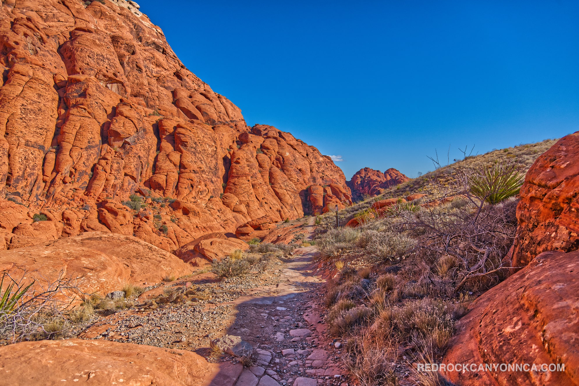
The trail begins near the visitor center and parallels the first portion of the Red Rock Canyon Scenic Loop. Calico I and Calico II provide quick access to steep sandstone slabs, while Sandstone Quarry reaches the northern end of the formation and connects toward Calico Tanks. The full Calico Hills route is substantially longer and rougher than the short walks many visitors take from the overlooks. Expect frequent elevation changes, rock steps, sandy washes, and informal variations around the base of the cliffs.
Many people casually call the entire conservation area “the Calicos,” but the Calico Hills are one distinct band of colorful Aztec Sandstone. Gray limestone mountains, alluvial desert, springs, and broad valley terrain occupy much of the surrounding Red Rock Canyon conservation area. That contrast becomes clearer from Calico Overlook or from the higher sections of this trail.
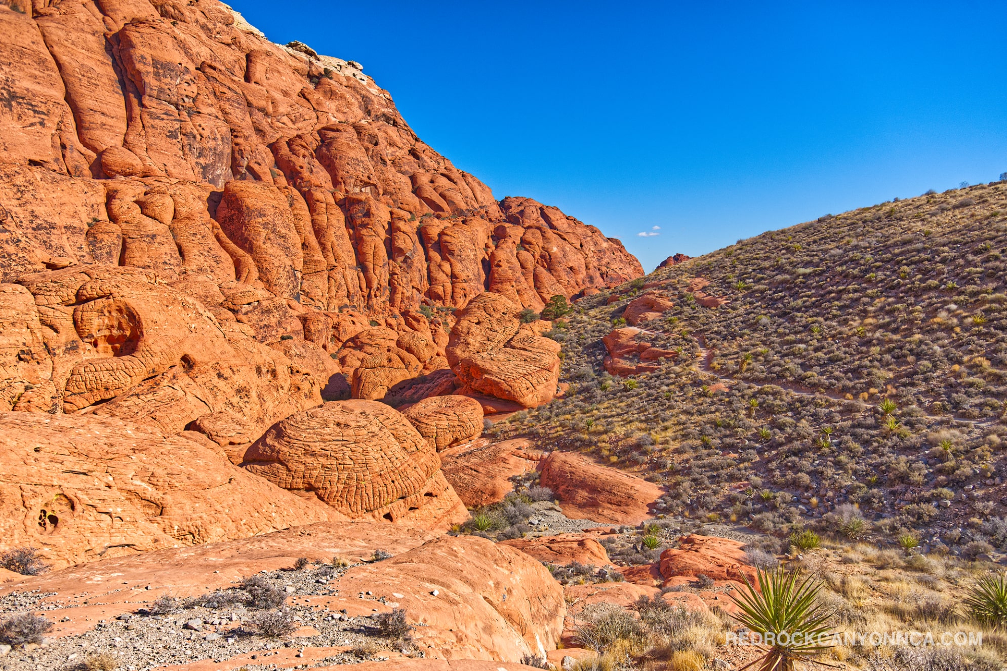
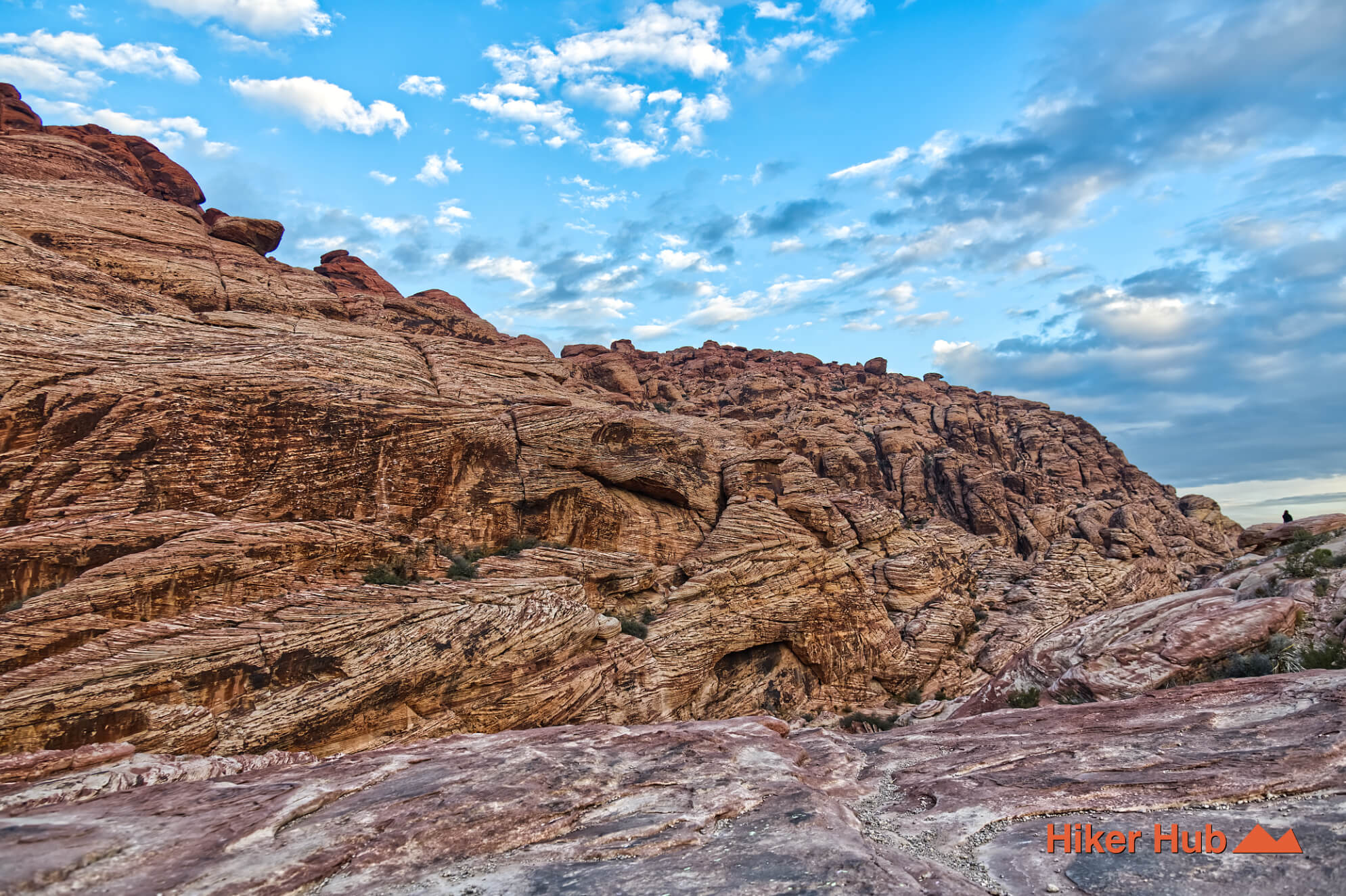
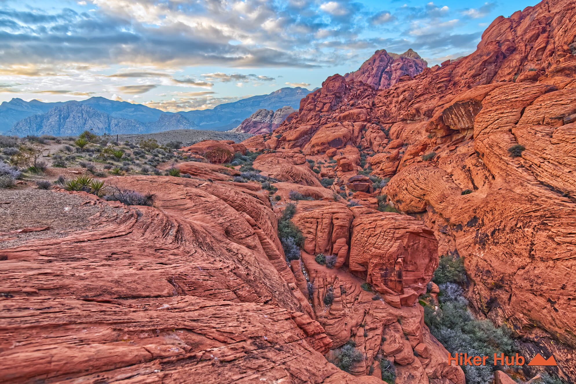
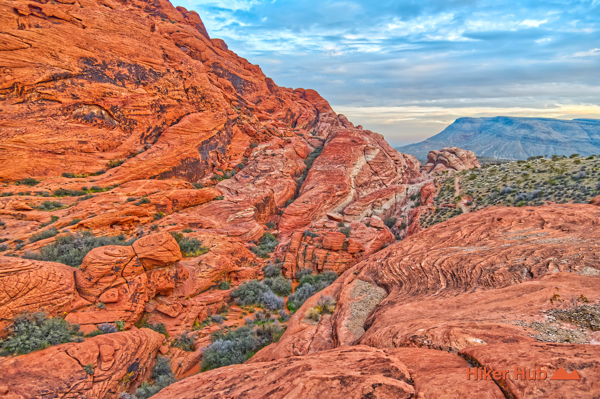
The Calico Hills formed from enormous Jurassic sand dunes that were buried, compacted, and cemented into Aztec Sandstone. Curving cross-beds visible on the rock faces preserve the internal layers of those ancient dunes. Iron minerals contribute to the red and orange colors, while cream and white sections record chemical differences and weathering. Erosion later opened cracks, alcoves, fins, tanks, and narrow passages across the formation.
This geology makes the trail feel more like moving through sculpture than following a conventional dirt path. Sandstone can provide excellent friction when dry, but it becomes slippery and more vulnerable after rain. Avoid climbing or scrambling on saturated rock, remain on durable surfaces, and do not carve or scratch the cliffs. This Red Sandstone photo story provides a closer visual study of the colors and structure.
The northern side of the Calico Hills carries a visible chapter of local industrial history. Sandstone Quarry was worked in the early twentieth century, when blocks were cut for construction before the operation was abandoned. Remnants and interpretive context remain near the quarry area. Long before that commercial period, Indigenous people used the broader Red Rock landscape for travel, food gathering, water, and seasonal occupation. Cultural material is protected; do not touch, move, or disclose the location of sensitive resources.
The Old Spanish Trail also crossed the larger southern Nevada region along routes influenced by much older Indigenous travel networks. The modern Calico Hills hiking trail should not be described as the historic trade route itself, but the surrounding landscape has supported human movement for thousands of years.
Short sections near Calico I and II are suitable for first-time visitors, photographers, and families who remain on manageable terrain. The complete traverse is better for experienced hikers comfortable with uneven sandstone, route variations, and repeated climbing. Climbers use many approaches in the same area, so not every visible path is part of the hiking trail. Proper hiking shoes and careful route choice matter more than the route’s proximity to the road.
October through May is the main season, with timed-entry reservations affecting the Scenic Drive during much of that period. Calico I, Calico II, and Sandstone Quarry can be extremely crowded on weekends and holidays. Arrive near opening time or visit on a weekday for easier parking. Traffic usually decreases between the major stops, especially on longer connecting segments. Summer heat is dangerous, and exposed sandstone can radiate intense heat long after midday.
Nearby red rock canyon hikes include Moenkopi Trail, Grand Circle Loop, Calico Tanks, and the more complex Calico Hills Loop. Each reveals a different scale of the same geology, from an easy visitor-center walk to a full-day exploration of the sandstone corridor.
Recommended gear
Gear picks are matched to this route using distance, difficulty, terrain, and desert conditions.
Disclosure: some links may be affiliate links. Red Rock Hiker Hub may earn a commission at no extra cost to you.
Water carry
Useful for exposed desert routes where one small bottle is not enough.
View hydration packsShade
Simple shade matters on open desert terrain, sandstone slabs, and long approaches.
View hiking hatsSun protection
A lightweight sun layer is one of the most useful pieces of gear for Red Rock exposure.
View sun hoodiesSkin protection
Small, easy to carry, and useful on nearly every Southern Nevada trail.
View SPF essentialsFooting
Better traction helps on loose gravel, sandstone, rocky washes, and steeper trails.
View trail shoesHeat support
Helpful on hot days, longer hikes, and steep routes where plain water may not be enough.
View electrolytes