Water carry
3L Hydration Pack
Useful for exposed desert routes where one small bottle is not enough.
View hydration packsRed Rock Canyon, Las Vegas
.98 miles • Easy • Trail
Conditions, access, and regulations can change. Always verify current information and assess safety before visiting.
Offline maps coming soon. Be first to access downloadable routes.
Some listings may be paid partnerships.
Know a useful stop near this trail? Suggest a business
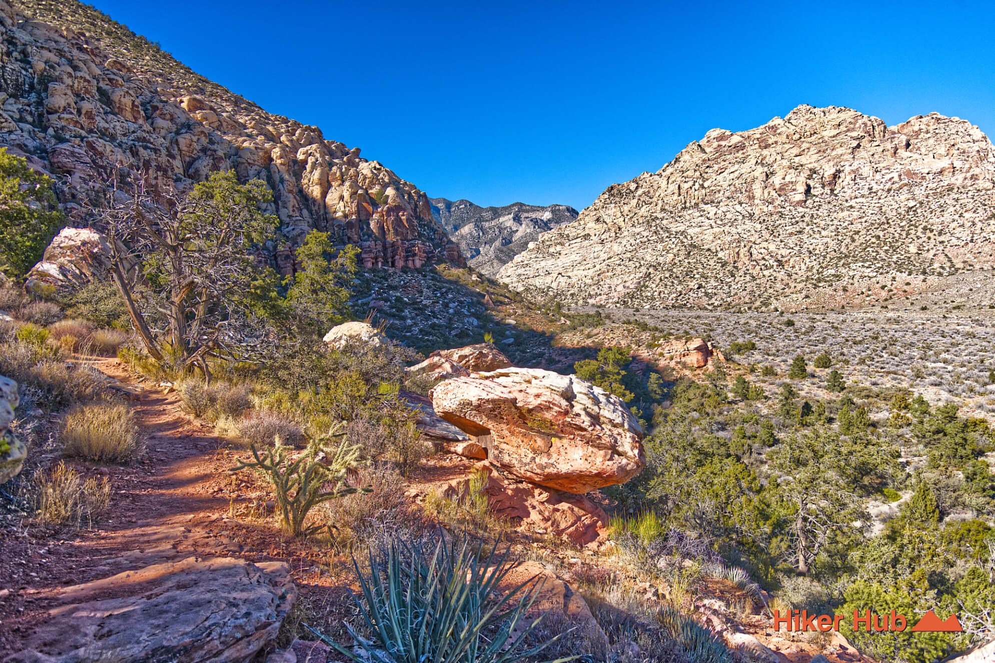
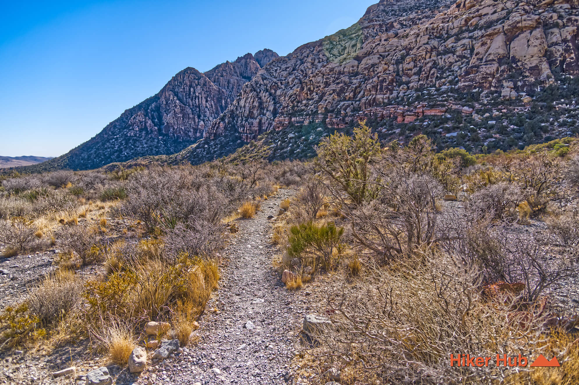
SMYC Trail follows the base of the Red Rock Canyon escarpment between Lost Creek and Ice Box Canyon. The official corridor weaves through rocky ravines beneath towering sandstone, providing a moderate connector with seasonal wildflowers and broad views instead of one singular summit. It is especially useful for hikers who want to combine Lost Creek Canyon, Ice Box Canyon, or Dale’s Trail without returning to the car between each trailhead.
SMYC stands for Spring Mountain Youth Camp, a Clark County juvenile facility with a long-running forestry program. Clark County documents more than four decades of cooperation with the U.S. Forest Service, including maintenance of over 135 miles of non-motorized trail in the Spring Mountains and work on new or existing trails in Red Rock Canyon National Conservation Area. Public sources do not provide a complete construction timeline for every foot of this exact corridor, so the trail name is best understood within that broader service partnership rather than as proof of one single building project.
That history gives the trail a human dimension unusual among Red Rock Canyon hikes. The path is not named for a peak, spring, or rock formation; it reflects labor performed by young people as part of education, restitution, forestry, and public-land stewardship.
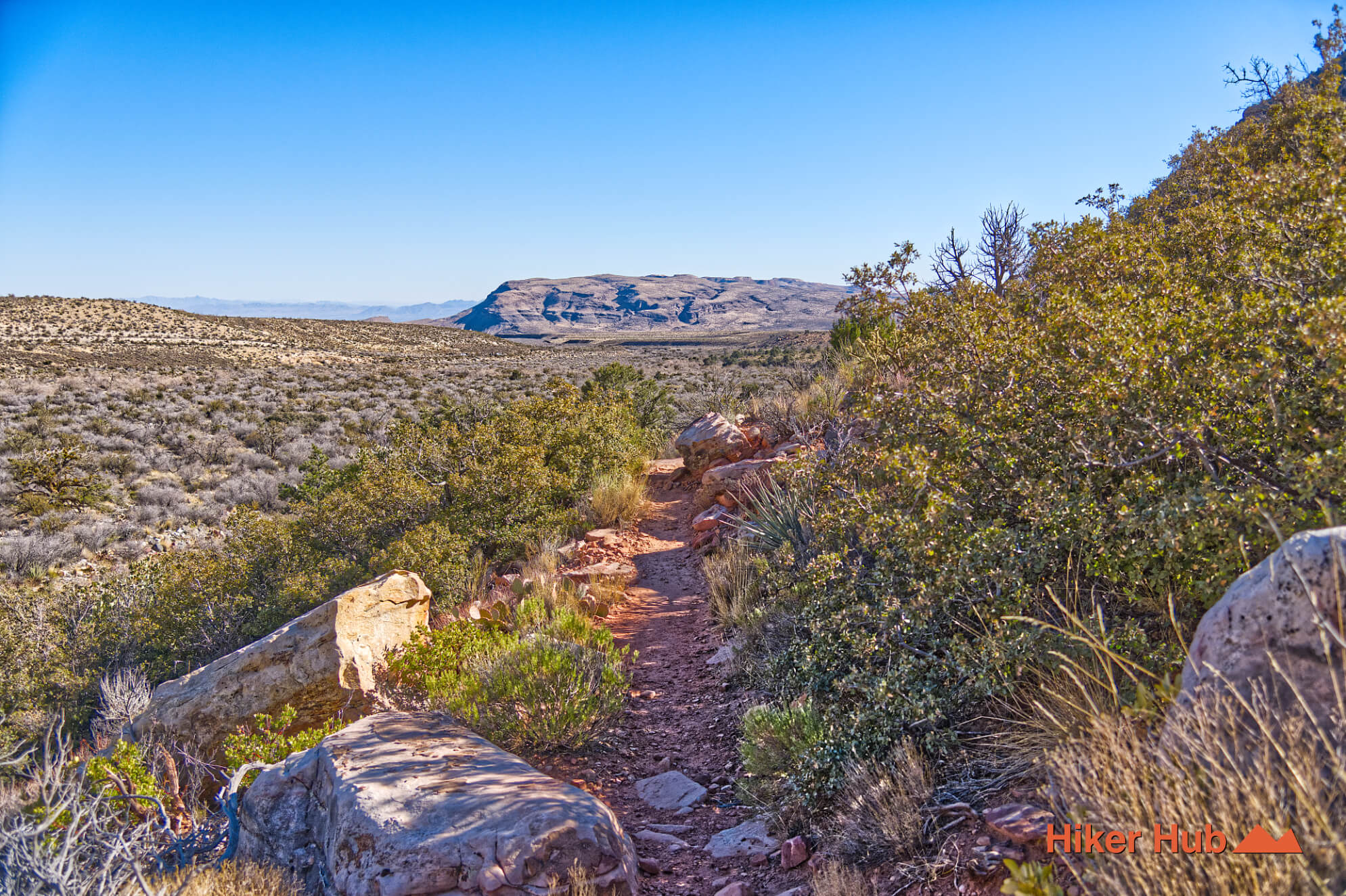
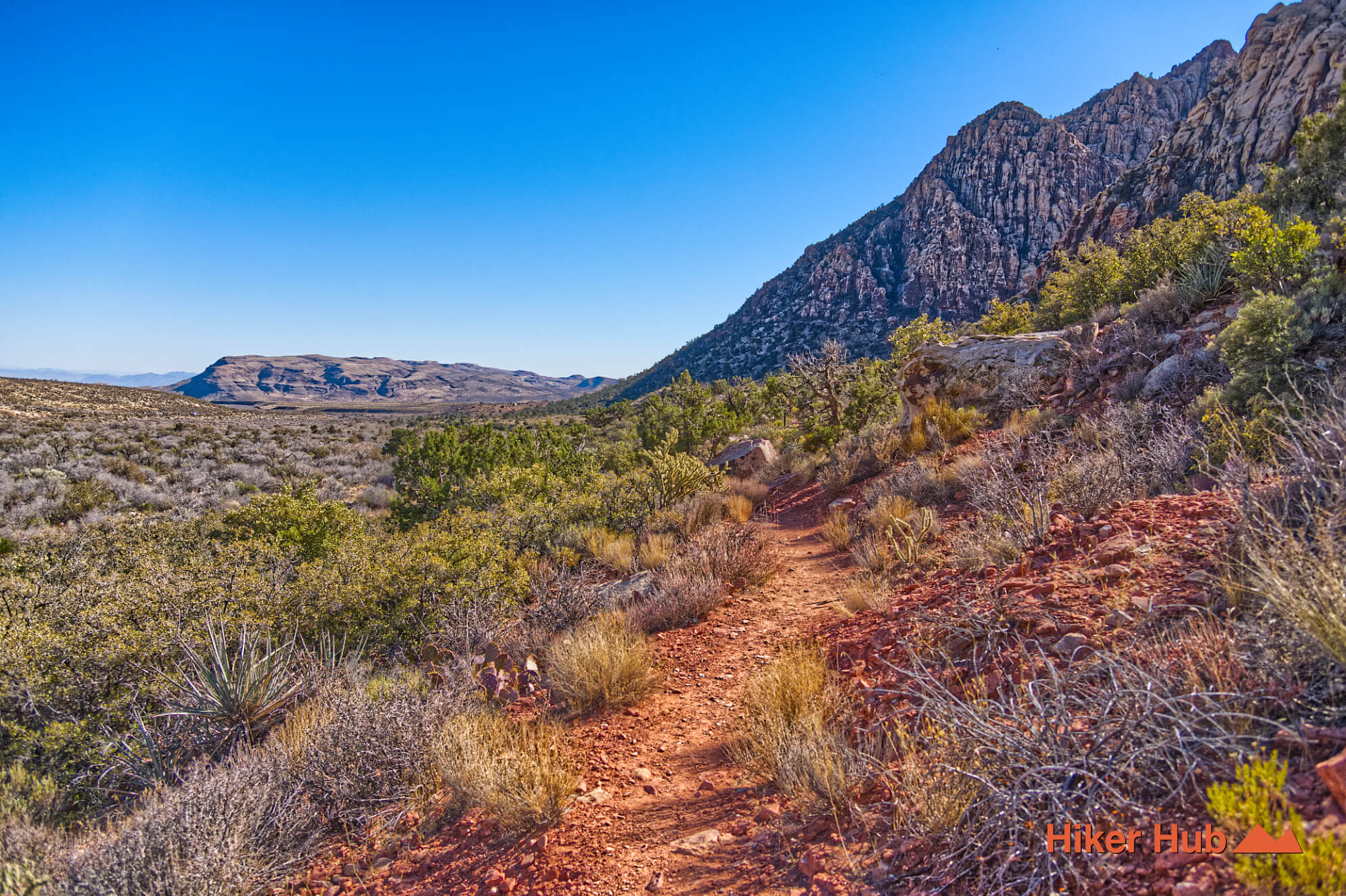
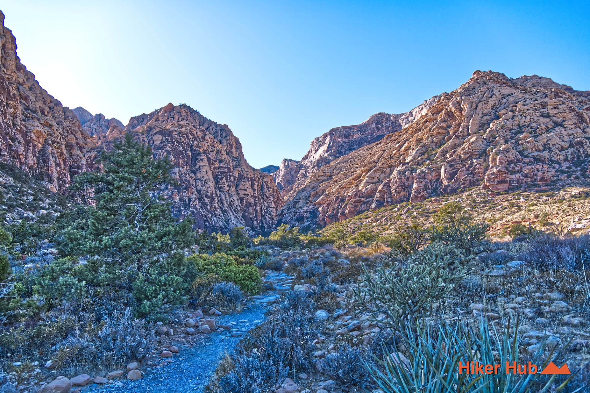
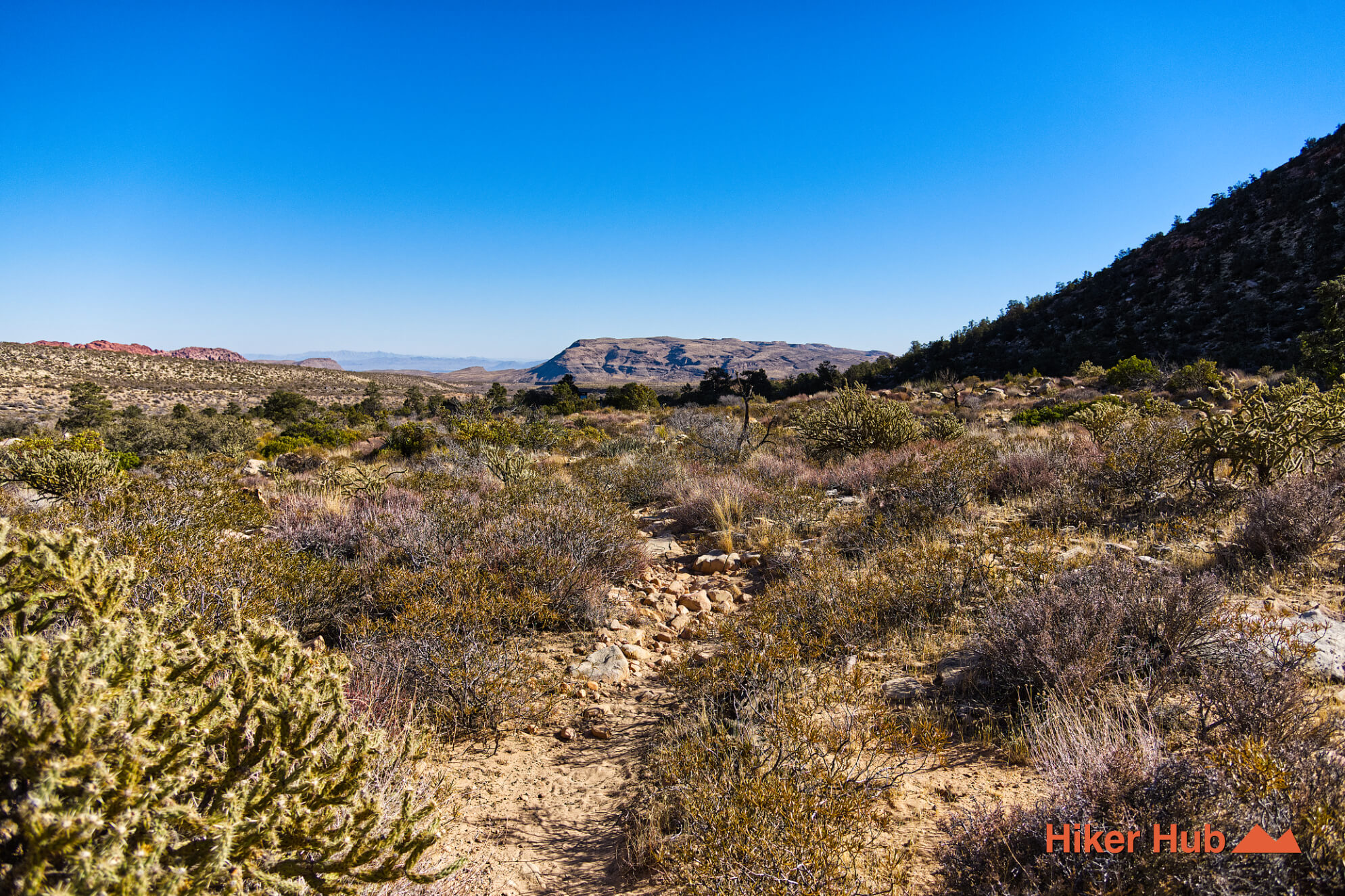
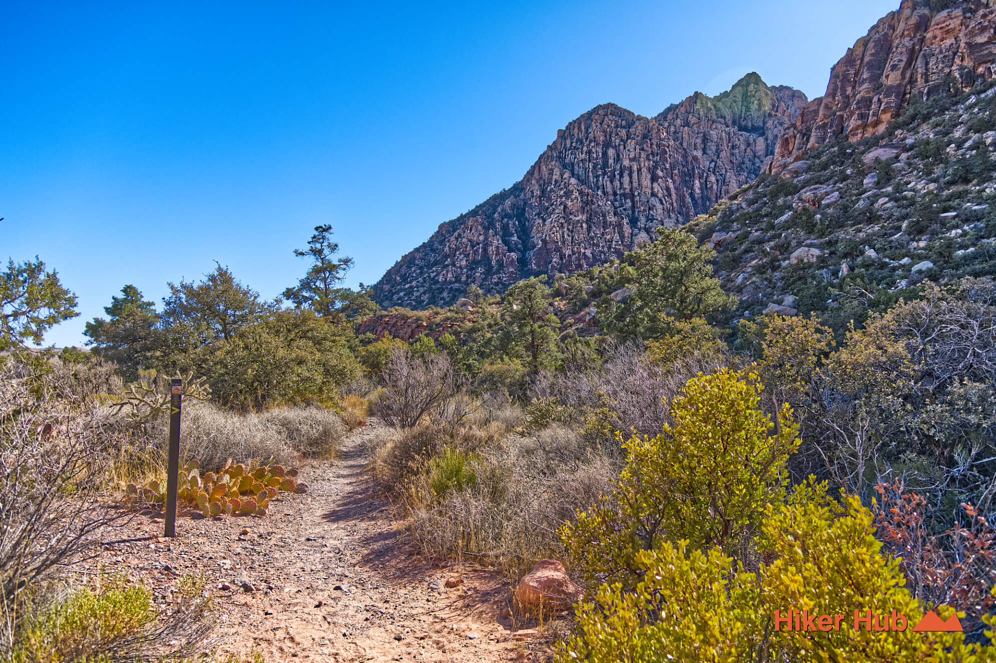
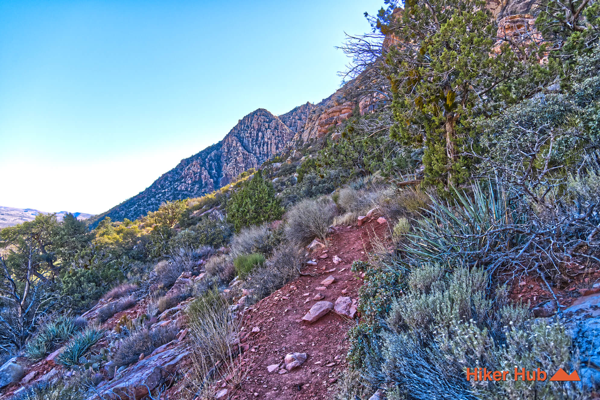
The trail rises and dips through shallow ravines at the base of the Rainbow Mountain Wilderness. Sandstone walls tower above, while the tread crosses loose rock, alluvial material, and vegetation gathered in drainage lines. These small landforms create more variation than the modest elevation profile suggests. Short climbs produce open views, then the route drops back into sheltered folds where wind and sun feel different.
In spring, wildflowers can become the high point of the hike. Moisture concentrates in low areas, while the changing soils support different plant communities. The Red Sandstone photo story shows the escarpment’s texture, and Mountains in Nevada provides a broader look at the elevation changes that shape nature around Las Vegas.
From Lost Creek, SMYC heads south toward Ice Box Canyon. One early fork can be misleading, so confirm the route rather than assuming the most worn line is correct. At Ice Box, hikers can turn around, enter the canyon, or continue on Dale’s Trail toward Pine Creek. Together, SMYC, Dale’s, and Arnight form a long escarpment-base journey with several possible trailhead combinations.
This short SMYC field video shows the foothill character more clearly than a map. Use it as a visual preview, not a navigation tool.
SMYC suits hikers who enjoy connectors, moderate distance, wildlife observation, and constantly changing foothill views. Families with trail experience can use a shorter out-and-back, while stronger hikers can build a one-way car shuttle or a longer loop. Hiking shoes are useful because the route is rocky even though it lacks the scrambling of Ice Box Canyon.
Lost Creek and Ice Box parking areas can be crowded, but traffic thins rapidly between them. SMYC is normally lesser traveled than either destination, making it a good choice for quiet hiking, photography, and introspection. Do not interpret low use as low consequence: the route is exposed, reception is unreliable, and a wrong fork can add substantial time.
Late winter through spring is excellent when rainfall has supported flowers. Autumn and mild winter days are also strong. Summer is fully exposed and should be avoided outside of very early morning. Carry water, sun protection, and a headlamp when combining multiple trails. For visitors looking beyond the best-known Red Rock Canyon hiking trails, SMYC demonstrates how a simple connector can reveal geology, history, and solitude beneath the main escarpment.
Recommended gear
Gear picks are matched to this route using distance, difficulty, terrain, and desert conditions.
Disclosure: some links may be affiliate links. Red Rock Hiker Hub may earn a commission at no extra cost to you.
Water carry
Useful for exposed desert routes where one small bottle is not enough.
View hydration packsShade
Simple shade matters on open desert terrain, sandstone slabs, and long approaches.
View hiking hatsSun protection
A lightweight sun layer is one of the most useful pieces of gear for Red Rock exposure.
View sun hoodiesFooting
Better traction helps on loose gravel, sandstone, rocky washes, and steeper trails.
View trail shoesHeat support
Helpful on hot days, longer hikes, and steep routes where plain water may not be enough.
View electrolytesSkin protection
Small, easy to carry, and useful on nearly every Southern Nevada trail.
View SPF essentials