Water carry
3L Hydration Pack
Useful for exposed desert routes where one small bottle is not enough.
View hydration packsRed Rock Canyon, Las Vegas
4.2 miles • Easy • Trail
Conditions, access, and regulations can change. Always verify current information and assess safety before visiting.
Offline maps coming soon. Be first to access downloadable routes.
Some listings may be paid partnerships.
Know a useful stop near this trail? Suggest a business
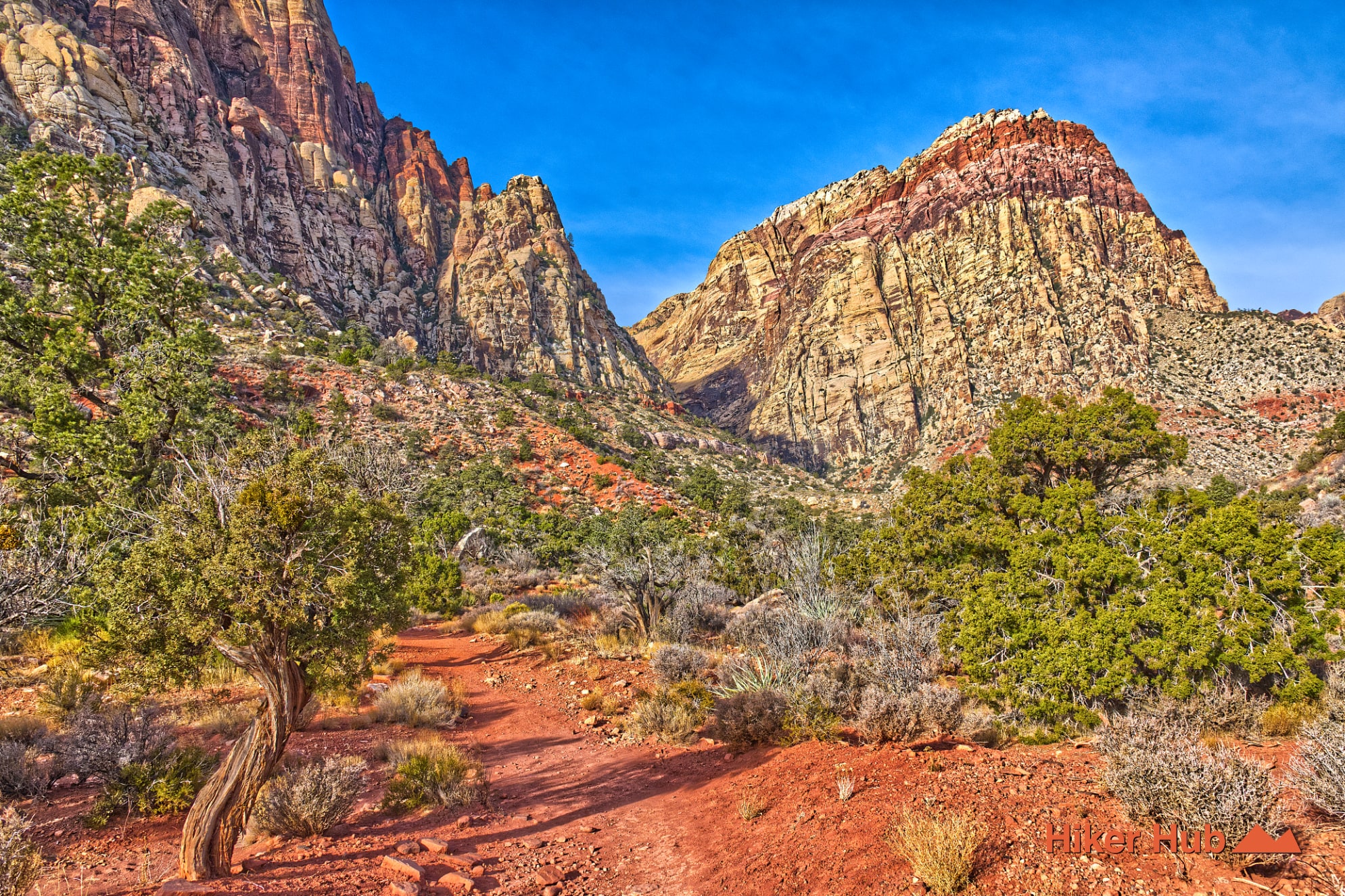
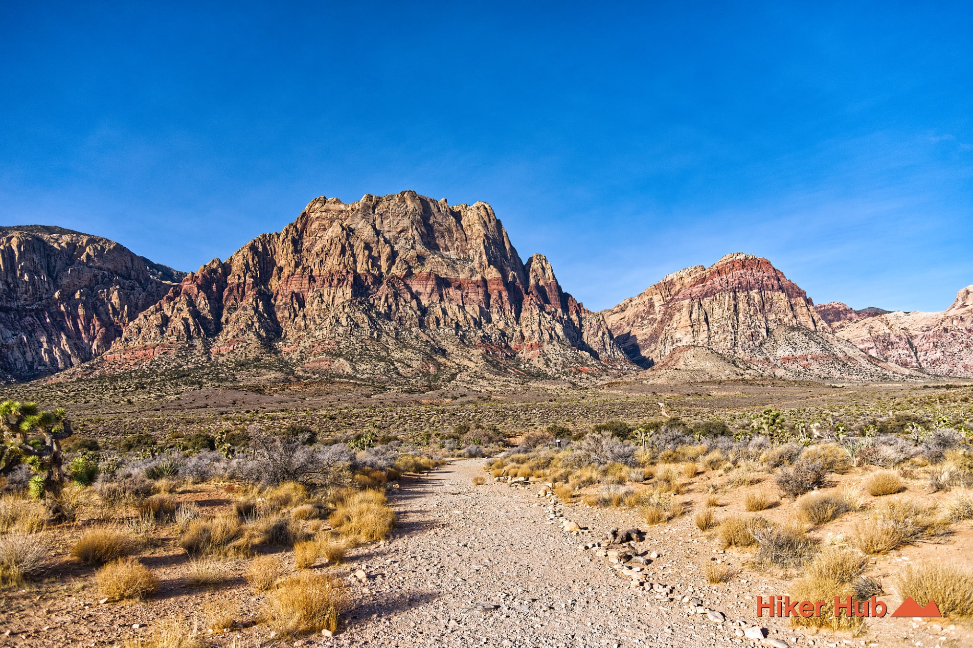
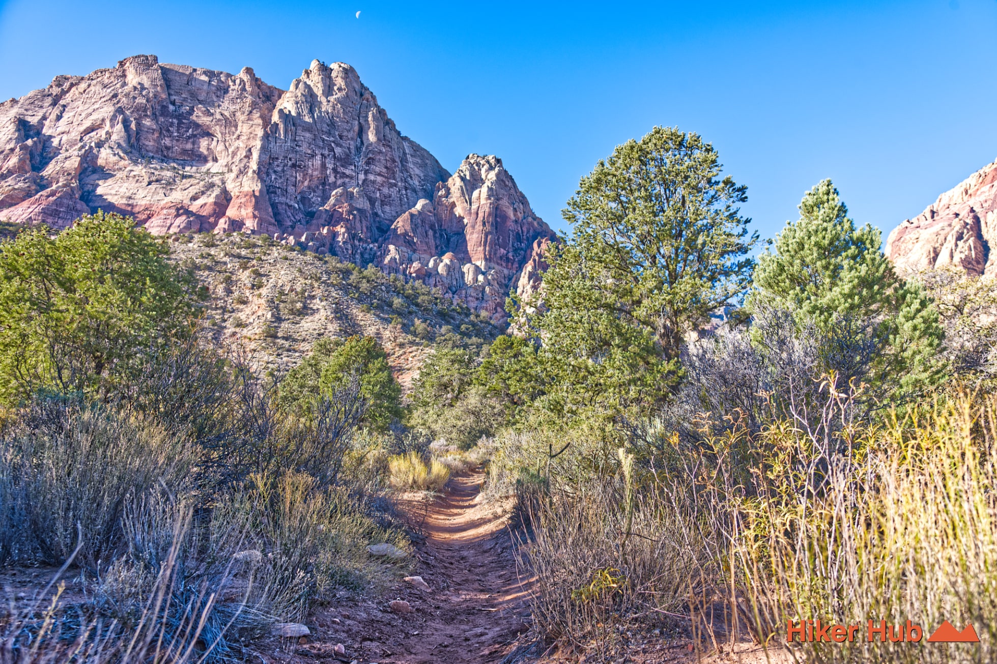
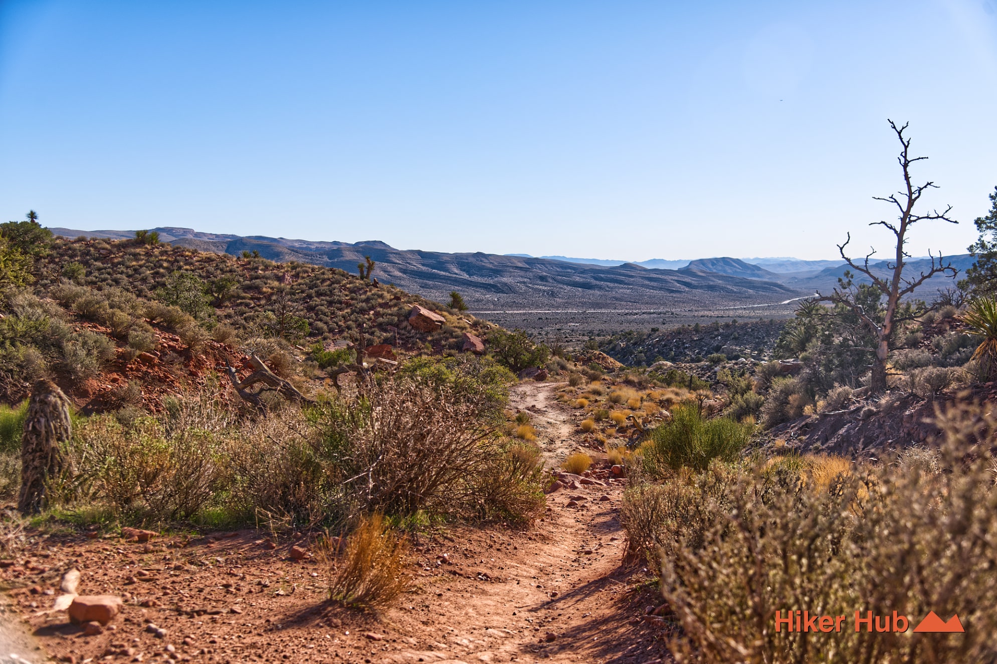
South Oak Creek Trail begins from a dirt pullout along State Route 159 south of the Red Rock Canyon Scenic Loop. The recognized route follows a rocky, disused road across the open valley, transitions to singletrack, and tucks between Mount Wilson and the smaller hill known locally as Wilson’s Pimple. Unlike the short, busy trails near Calico, South Oak is a longer and quieter Red Rock Canyon hike with views of the Wilson Cliffs, conglomerate and petrified wood along the approach, seasonal water near the canyon, and a junction with Knoll Trail.
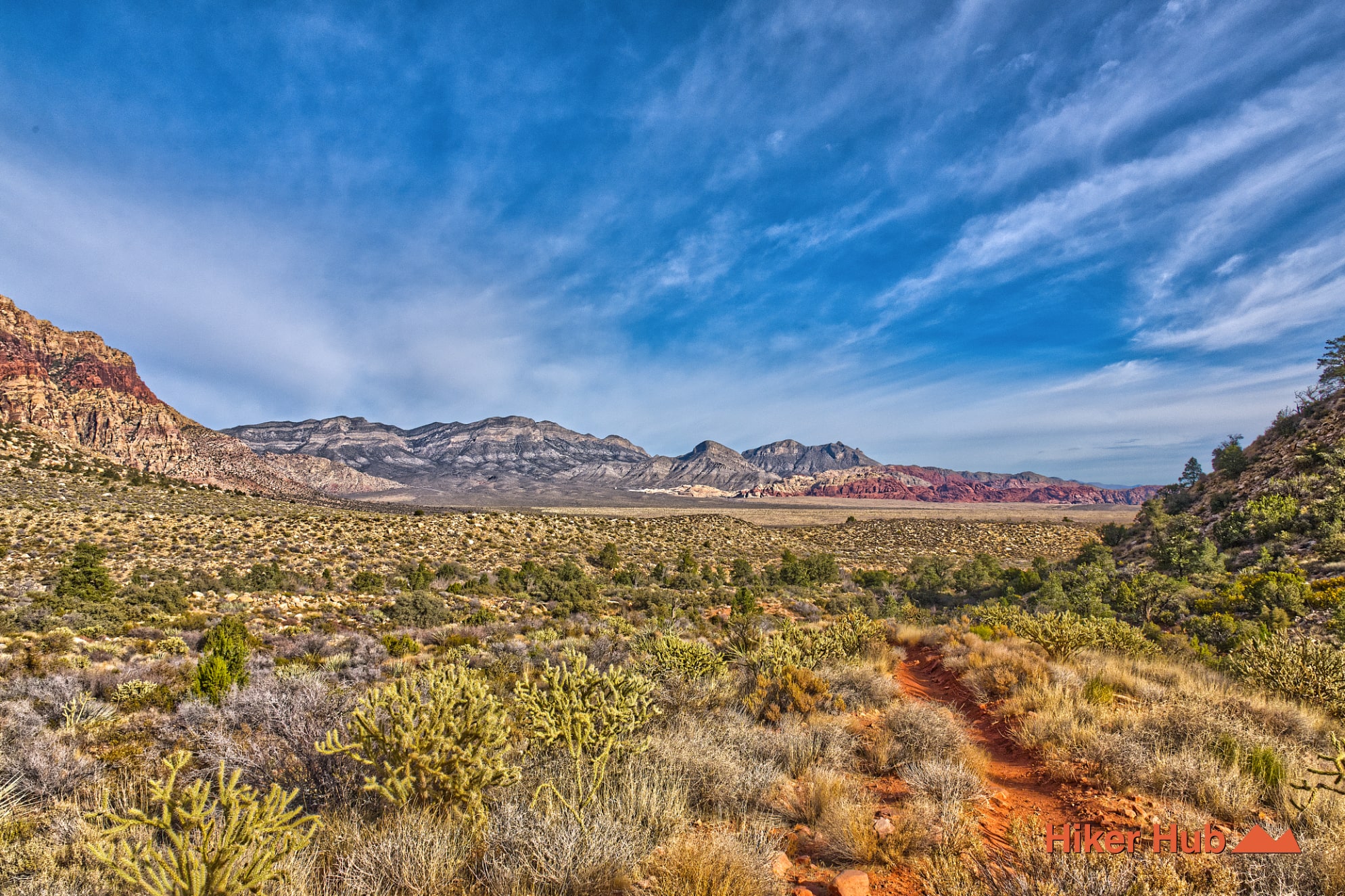
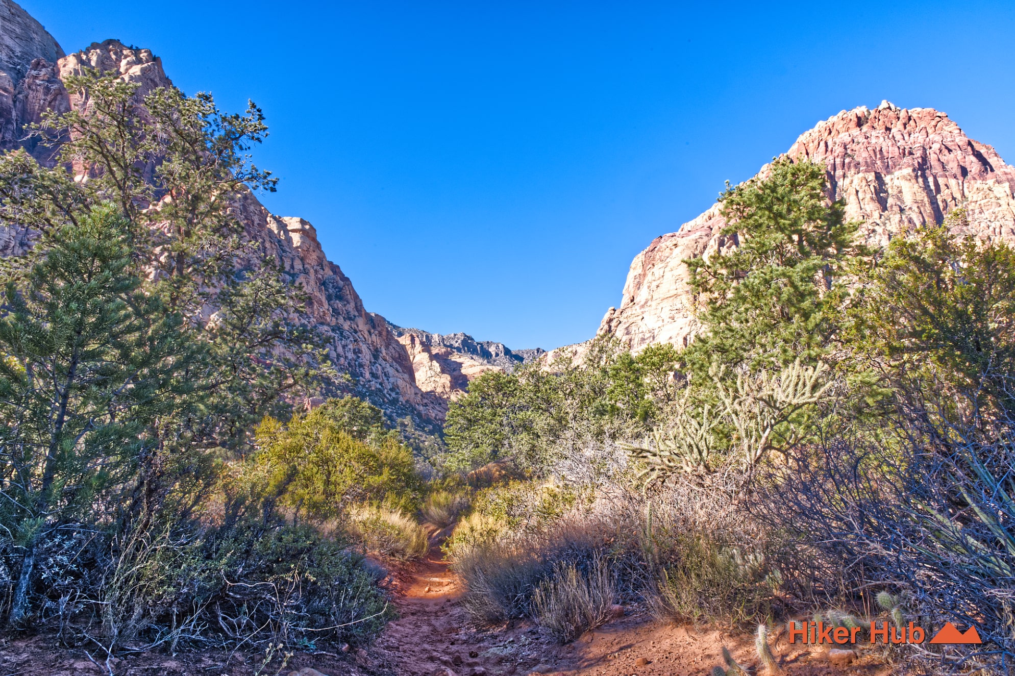
The first miles cross open desert where the destination seems deceptively close. Low ridges, washes, and old road grades create more elevation change than the valley floor suggests. As the route approaches the foothills, it narrows and enters more varied terrain. Hikers can continue toward the Knoll junction, explore the seasonal Oak Creek corridor, or build a larger outing with Middle Oak Creek and Oak Creek Canyon Trail.
Wilson’s Pimple provides a primitive summit option from this same landscape, while First Creek Canyon begins farther south along SR-159. These routes share the same dramatic approach toward Mount Wilson but offer different levels of solitude, route-finding, water, and canyon access.
The BLM specifically identifies petrified wood and conglomerate rock as features to watch for near South Oak Creek. Conglomerate contains rounded pieces of older rock cemented together, evidence of powerful past transport by water and debris. Petrified wood records a different process in which buried plant material was gradually replaced by minerals. Both are protected natural resources; photograph them and leave them where they are.
Above the trail, Mount Wilson and the surrounding escarpment are dominated by Jurassic Aztec Sandstone formed from ancient dunes. The red bands, pale layers, and enormous vertical faces contrast with the mixed gravel, old roadbed, and alluvial deposits underfoot. The Mt. Wilson Overlook photo story shows the scale of this sandstone wall from a broader perspective.
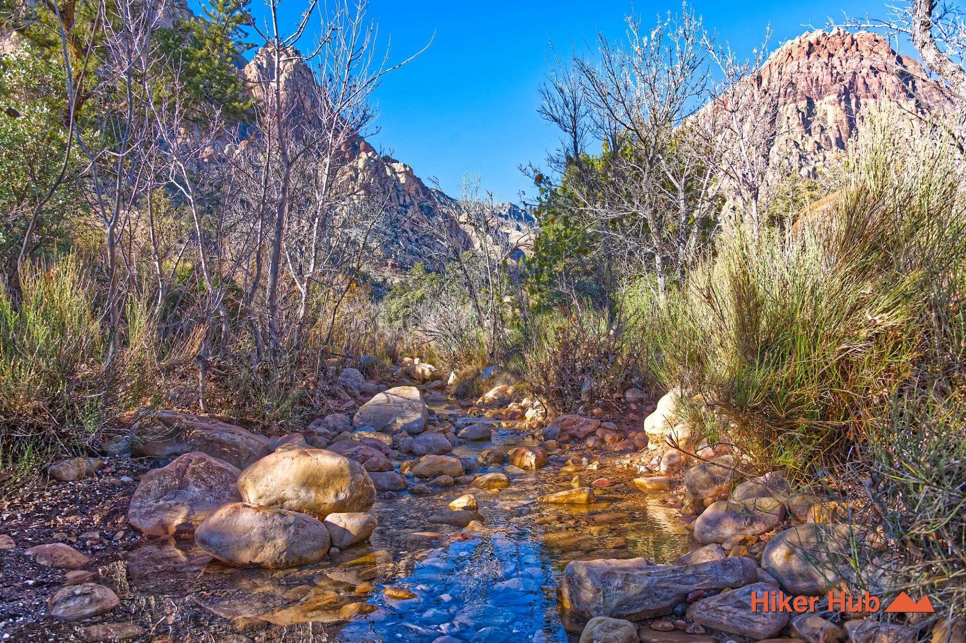
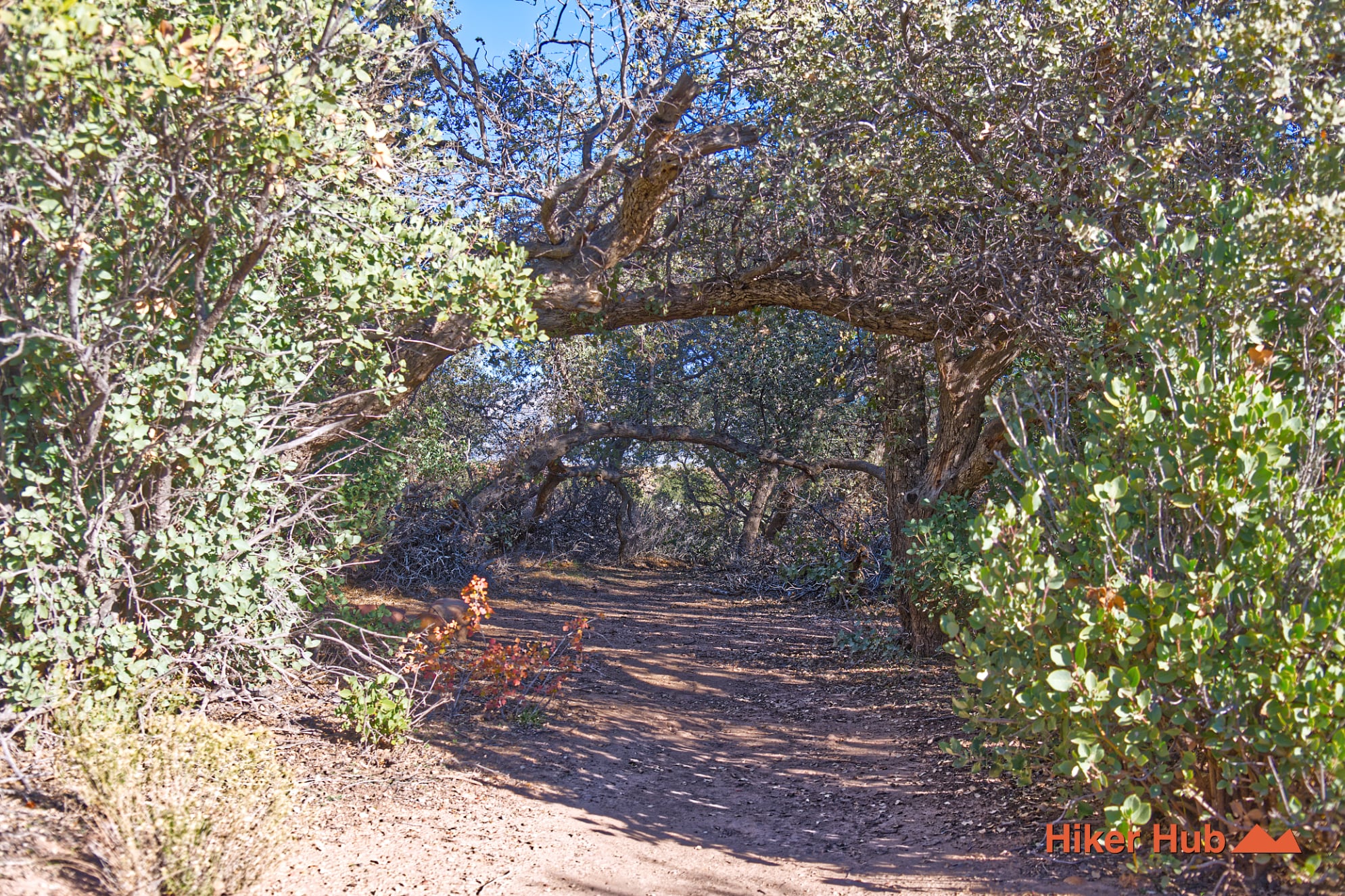
Oak Creek can flow after wet weather and may support greener vegetation, shade, and cooler air on the far side of Wilson’s Pimple. Water is never guaranteed, and the creek should not be treated as potable. When present, it attracts birds, insects, mule deer, coyotes, and burros. This video of a burro band in Red Rock Canyon shows why hikers should observe from a distance rather than approach for a closer picture.
Dogs should remain leashed or under immediate control. Burros can defend themselves, deer can bolt through brush, and coyotes may draw a pursuing pet away. The Burros in the Wild and Dog-Friendly Trails photo stories add context for responsible recreation. Warm-weather hikers may also encounter tarantulas; this short tarantula video is a useful reminder to check where hands and feet are placed.
South Oak Creek is ideal for hikers who want a longer but technically moderate route, broad views, wildlife potential, and fewer people. The distance requires more commitment than the main Oak Creek trail, and junctions near Wilson’s Pimple can be confusing. Carry a downloaded map and hiking shoes suited to loose rock and old road surfaces.
Because the trailhead sits outside the fee loop, it avoids some Scenic Drive congestion. It is usually lesser traveled than Pine Creek, Ice Box Canyon, or Calico Tanks, though cool weekend mornings can still bring hikers, equestrians, and photographers. The quietest experience is generally early on a weekday.
October through May is strongest, with winter and early spring offering the best chance of water, flowers, and clear views. Summer heat on the open approach is dangerous despite shade near the creek. Avoid washes during storms and expect slippery rock or ice when winter water is present. For people seeking nature, geology, and desert wildlife away from the most crowded Red Rock Canyon LV trailheads, South Oak Creek is one of the most rewarding choices.
Recommended gear
Gear picks are matched to this route using distance, difficulty, terrain, and desert conditions.
Disclosure: some links may be affiliate links. Red Rock Hiker Hub may earn a commission at no extra cost to you.
Water carry
Useful for exposed desert routes where one small bottle is not enough.
View hydration packsShade
Simple shade matters on open desert terrain, sandstone slabs, and long approaches.
View hiking hatsSun protection
A lightweight sun layer is one of the most useful pieces of gear for Red Rock exposure.
View sun hoodiesFooting
Better traction helps on loose gravel, sandstone, rocky washes, and steeper trails.
View trail shoesHeat support
Helpful on hot days, longer hikes, and steep routes where plain water may not be enough.
View electrolytesSkin protection
Small, easy to carry, and useful on nearly every Southern Nevada trail.
View SPF essentials