Water carry
3L Hydration Pack
Useful for exposed desert routes where one small bottle is not enough.
View hydration packsRed Rock Canyon, Las Vegas
1.54 miles • Easy • Trail
Conditions, access, and regulations can change. Always verify current information and assess safety before visiting.
Offline maps coming soon. Be first to access downloadable routes.
Some listings may be paid partnerships.
Know a useful stop near this trail? Suggest a business
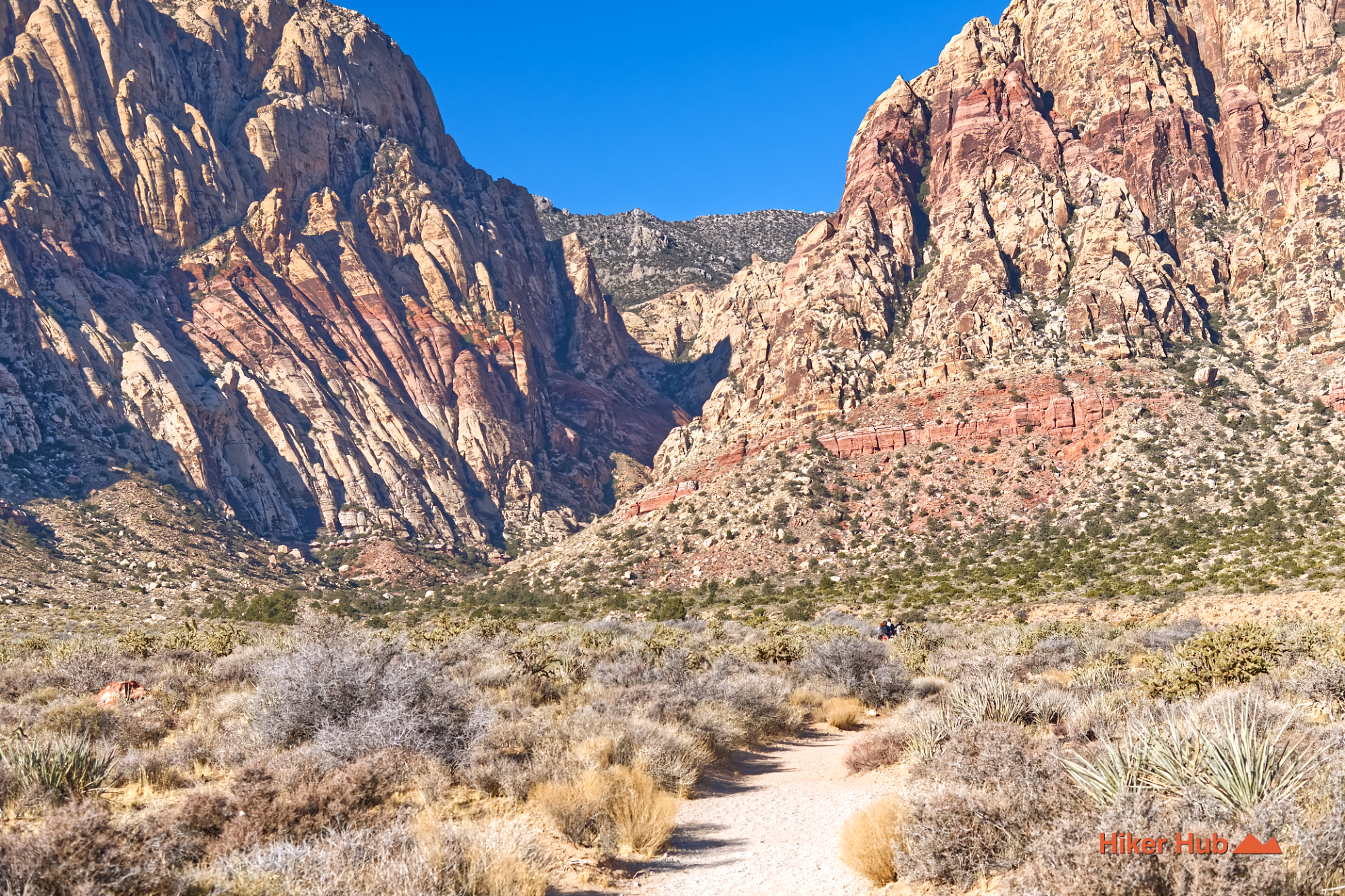
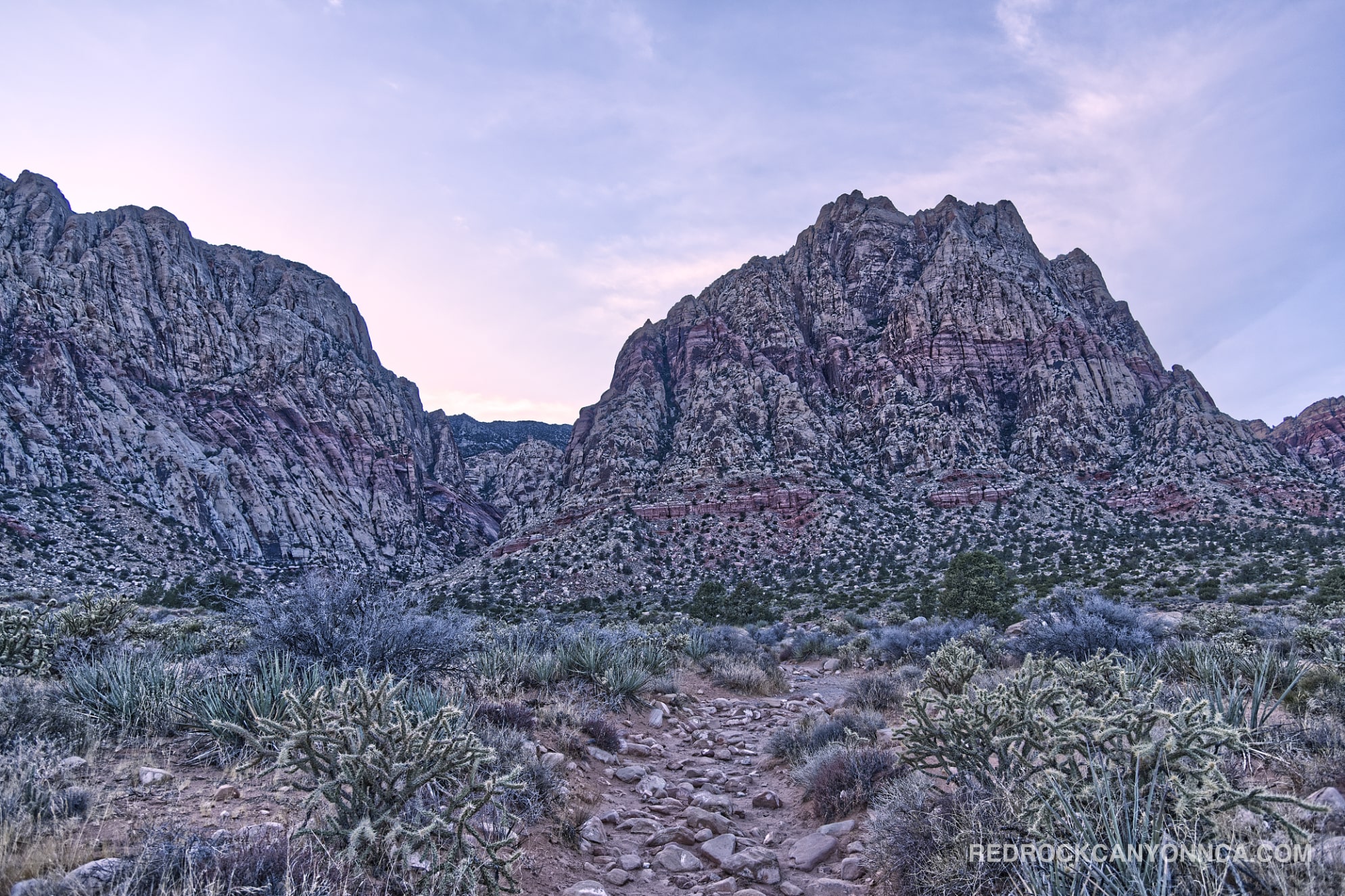
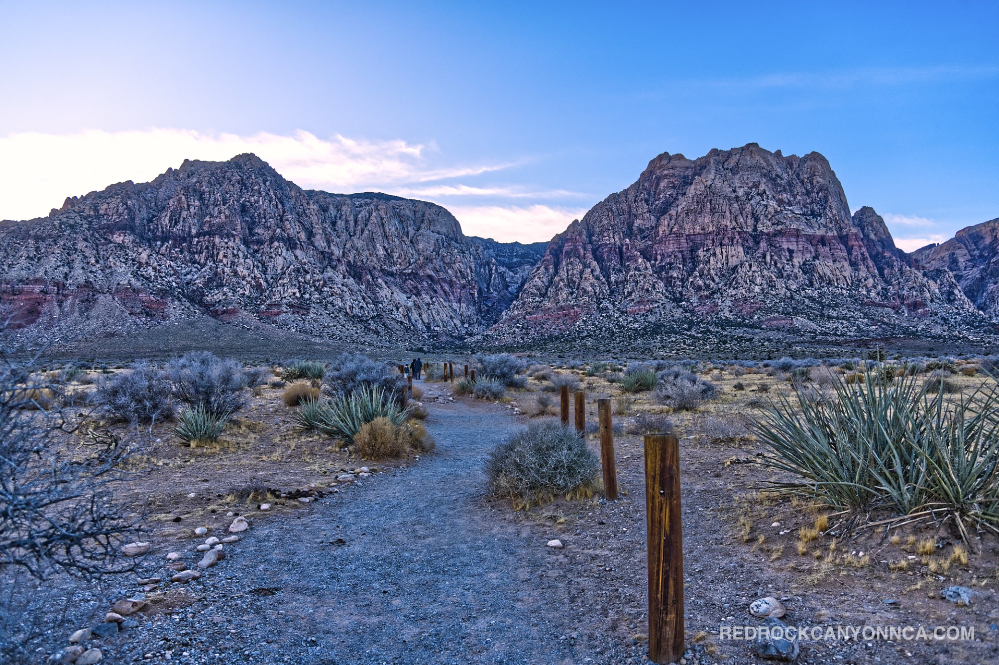
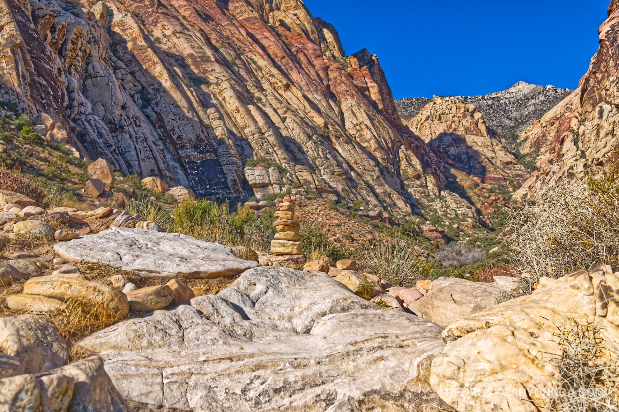
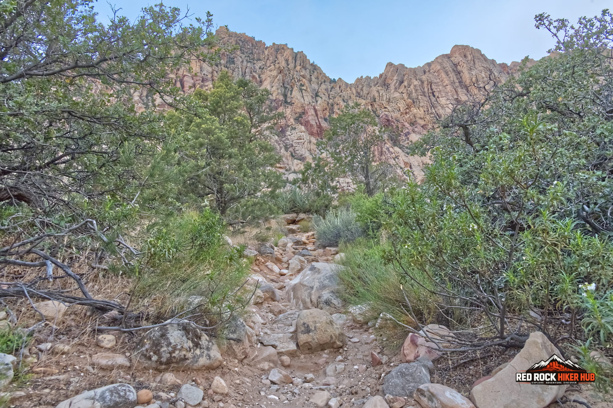
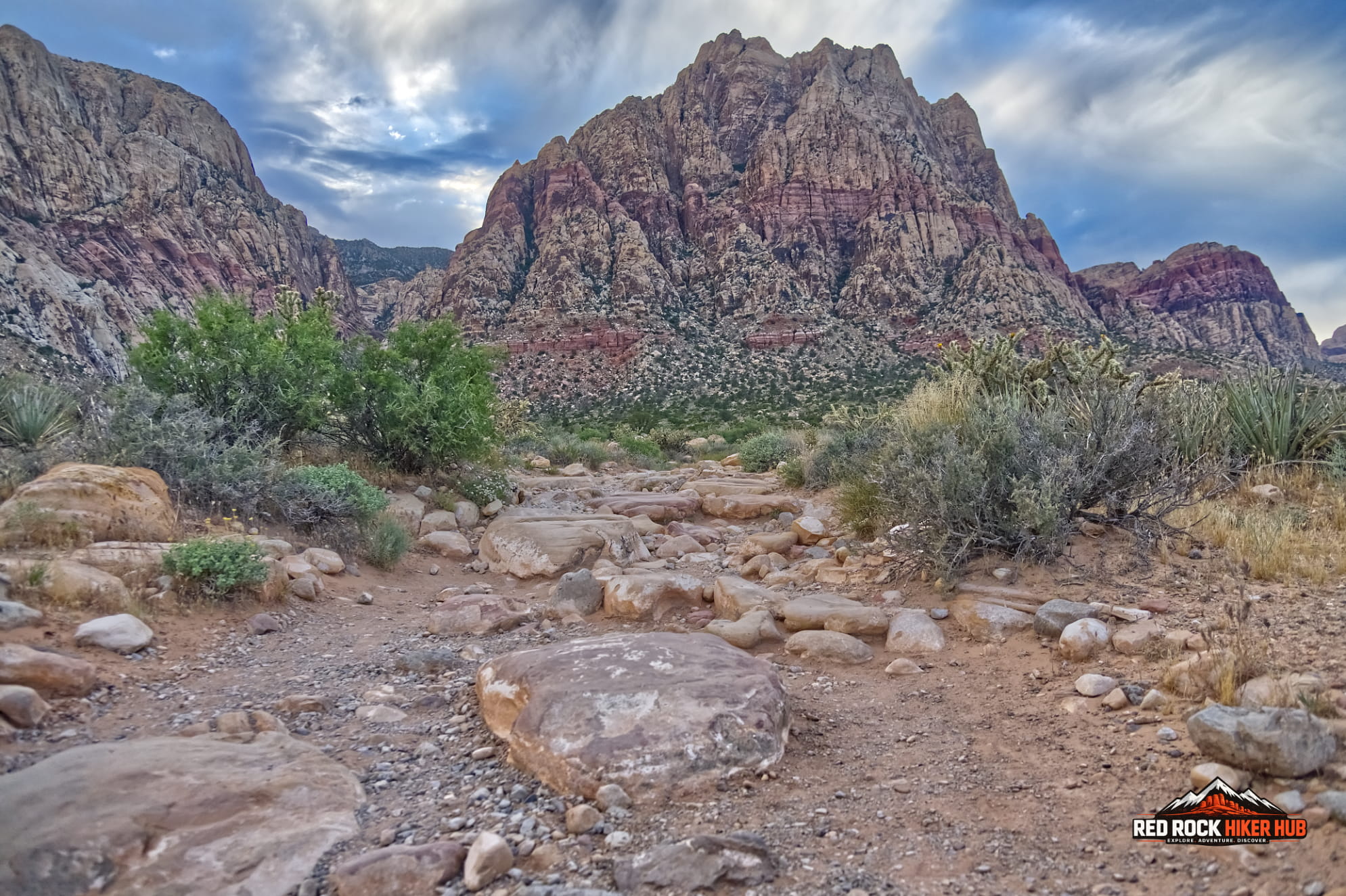
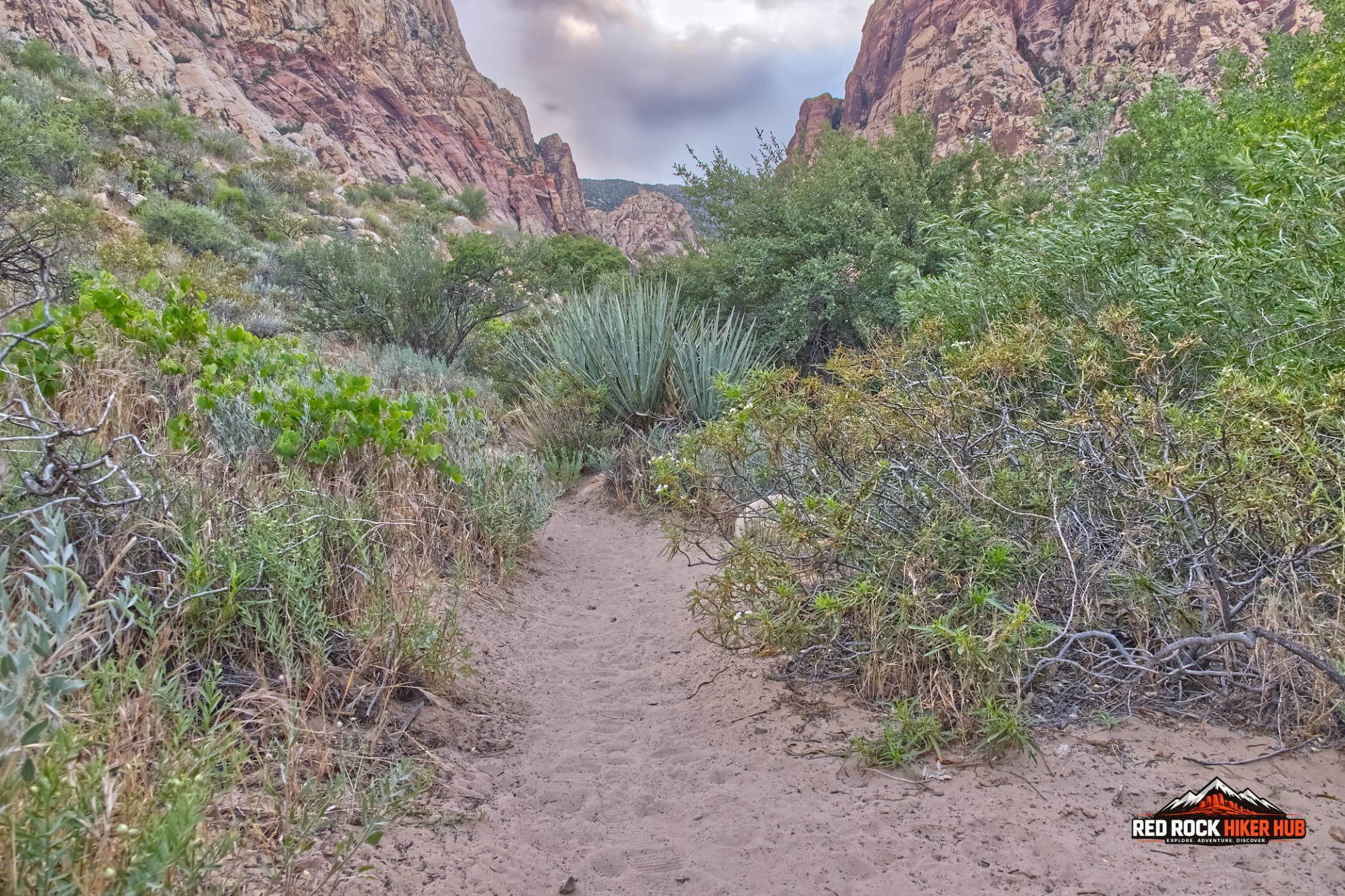
First Creek Canyon stands as a definitive classic of Red Rock Canyon. Its dramatic journey seamlessly blends the vast, Mojave Desert with a narrow sandstone gorge. The hike begins in the wide-open basin, where the landscape is dominated by the towering, rust-colored Wilson massif. As you trek forward, the desert slowly narrows, funneling you into the cool, green throat of the Spring Mountains. The transition is immediate and striking: the oppressive heat of the basin gives way to a refreshing, damp coolness, and the open silence is replaced by the sound of trickling seasonal water and rustling vegetation. The canyon walls rise, their red and orange sandstone creating a cathedral-like effect that feels worlds away from the nearby city.
Beyond its scenic beauty, First Creek Canyon serves as one of the premier wildlife sanctuaries in the Las Vegas valley. While the nearby Scenic Loop Drive offers stunning views, the steady stream of vehicles often drives animals deeper into the quieter, more secluded backcountry. First Creek, with its dense vegetation and reliable water sources, acts as a vital corridor for animals seeking refuge. Hikers here are frequently rewarded with sightings that are rare elsewhere on the conservation area.
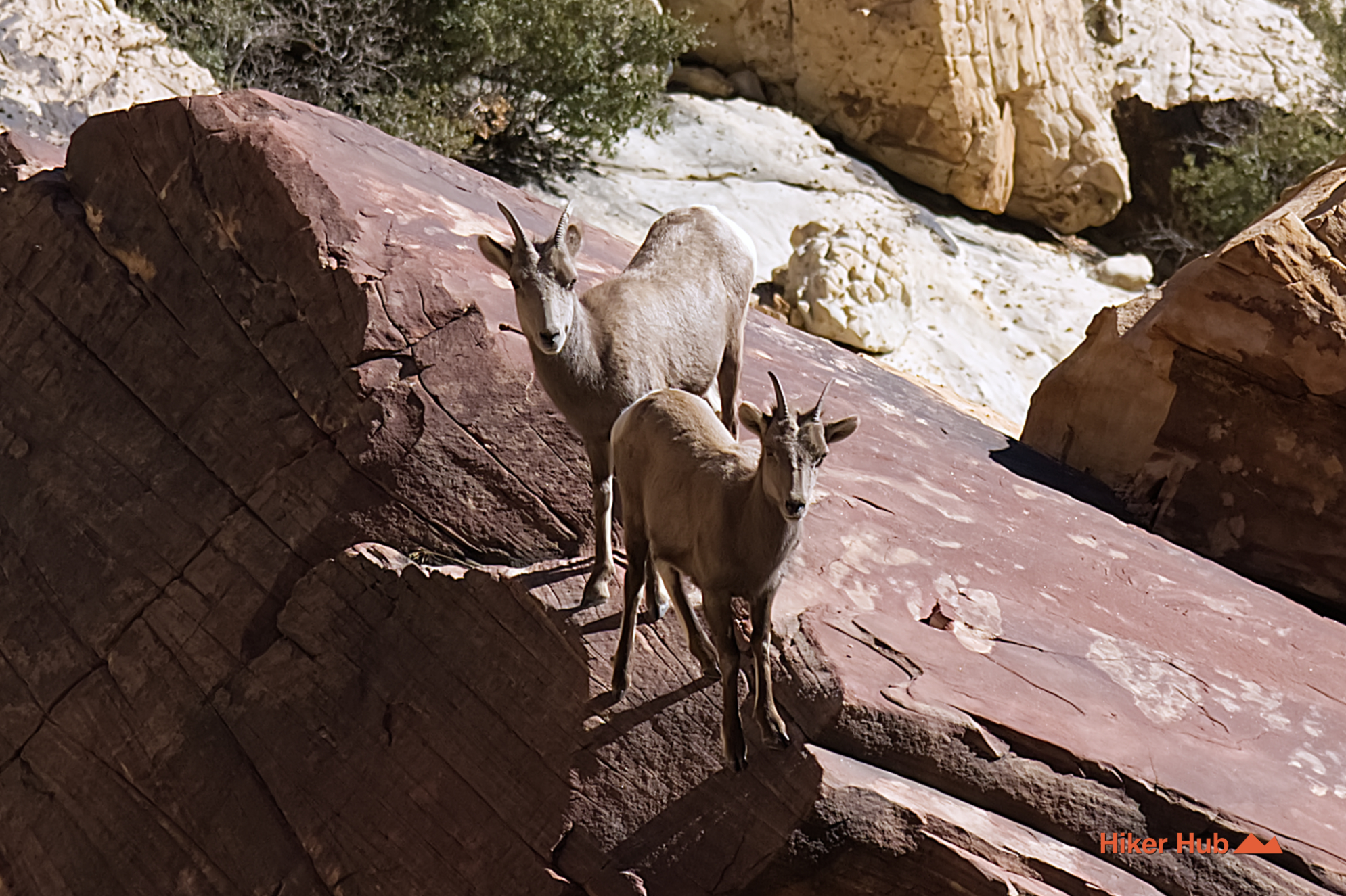
The canyon is a known for coyotes; it's not uncommon to spot a lone individual trotting confidently across the desert floor or to hear the haunting chorus of a full pack echoing from the ridges at dusk. The area also supports healthy populations of desert bighorn sheep, often spotted only when they pause to graze on high ledges. Mule deer are more common, sometimes appearing in small herds of up to ten. Even the iconic desert tortoise can occasionally be found burrowing near the canyon's edge. For photographers and nature enthusiasts, the canyon offers a unique opportunity to observe these creatures in their natural habitat, undisturbed by the heavy foot traffic found on more popular, loop-based trails.
For the adventurous hiker, First Creek Canyon provides the most direct and traditional access route to Mount Wilson, the highest peak in the Red Rock Canyon National Conservation Area (Mt Wilson peak YouTube short). The journey transforms dramatically at the end of the canyon floor. Where the trail once meandered through water and brush, the landscape abruptly shifts into a rugged, high-altitude challenge. The point where the seasonal streams end marks the beginning of the true climb: a steep, grueling ascent northwest up the mountain's spine.
This upper section is a test of endurance and navigation. The path becomes faint and often disappears entirely, requiring hikers to navigate through a chaotic maze of massive boulders. The terrain is rough, composed of steep sandstone slabs that can be slippery when wet, gravel-covered ledges that shift underfoot, and layers of fractured limestone. Route-finding skills are essential here, as the correct path is rarely marked. However, the reward for the effort is unparalleled. Upon reaching the summit of Mount Wilson, you're greeted with staggering, panoramic views. To the east, the glittering sprawl of Las Vegas contrasts sharply with the rugged wilderness; to the north and west, the La Madre Range stretches into the distance, while the Rainbow Wilderness unfolds below. On clear days, the view extends all the way to the distant desert valleys near Pahrump, offering a perspective of the Mojave that few ever experience.
While Pine Creek Canyon and Calico Tanks draw the crowds, the Oak Creek system offers a quieter, more rugged alternative for those willing to explore deeper. Comprising three distinct but often interconnected trails—Oak Creek, Middle Oak Creek, and South Oak Creek—this network provides a diverse range of hiking experiences, from gentle walks to more challenging.
The main Oak Creek channel is the most accessible entry point of the trio. It's an excellent spot for birdwatching. Middle Oak Creek offers a more adventurous experience. This area is a haven for solitude seekers; it's rare to encounter more than a handful of hikers on a given day. The silence here is profound, broken only by the wind whistling. South Oak Creek is the most remote and wild of the three, often serving as a gateway to the backcountry that feels untouched by time.
First Creek, and the Oak Creek system, form a complex web of trails that reward the curious hiker with solitude, stunning geology, and a deeper connection to the Spring Mountains. Each, offering a unique perspective on the Red Rock landscape.
Recommended gear
Gear picks are matched to this route using distance, difficulty, terrain, and desert conditions.
Disclosure: some links may be affiliate links. Red Rock Hiker Hub may earn a commission at no extra cost to you.
Water carry
Useful for exposed desert routes where one small bottle is not enough.
View hydration packsShade
Simple shade matters on open desert terrain, sandstone slabs, and long approaches.
View hiking hatsSun protection
A lightweight sun layer is one of the most useful pieces of gear for Red Rock exposure.
View sun hoodiesSkin protection
Small, easy to carry, and useful on nearly every Southern Nevada trail.
View SPF essentialsFooting
Better traction helps on loose gravel, sandstone, rocky washes, and steeper trails.
View trail shoesHeat support
Helpful on hot days, longer hikes, and steep routes where plain water may not be enough.
View electrolytes