Water carry
3L Hydration Pack
Useful for exposed desert routes where one small bottle is not enough.
View hydration packsRed Rock Canyon, Las Vegas
7.5 miles • Moderate • Trail
Conditions, access, and regulations can change. Always verify current information and assess safety before visiting.
Offline maps coming soon. Be first to access downloadable routes.
Some listings may be paid partnerships.
Know a useful stop near this trail? Suggest a business
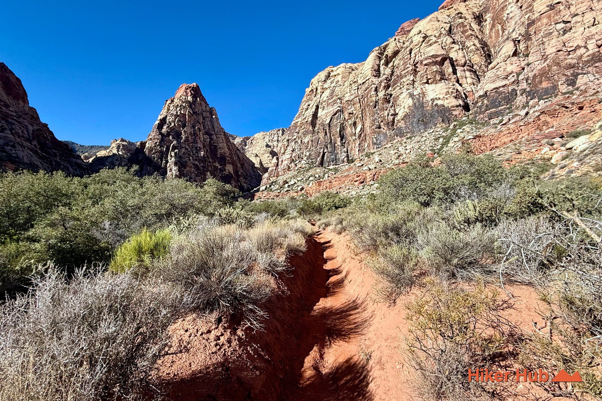
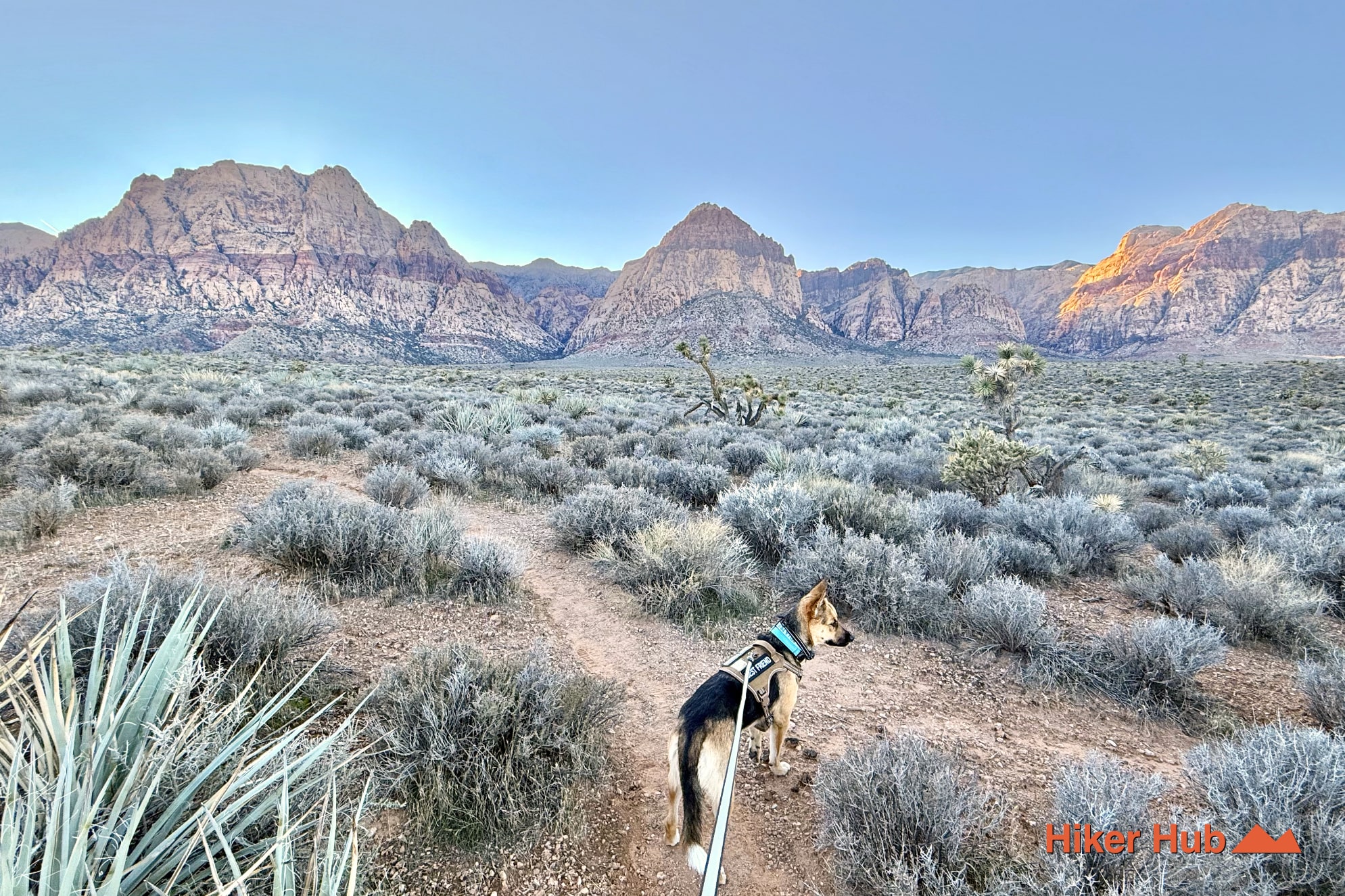
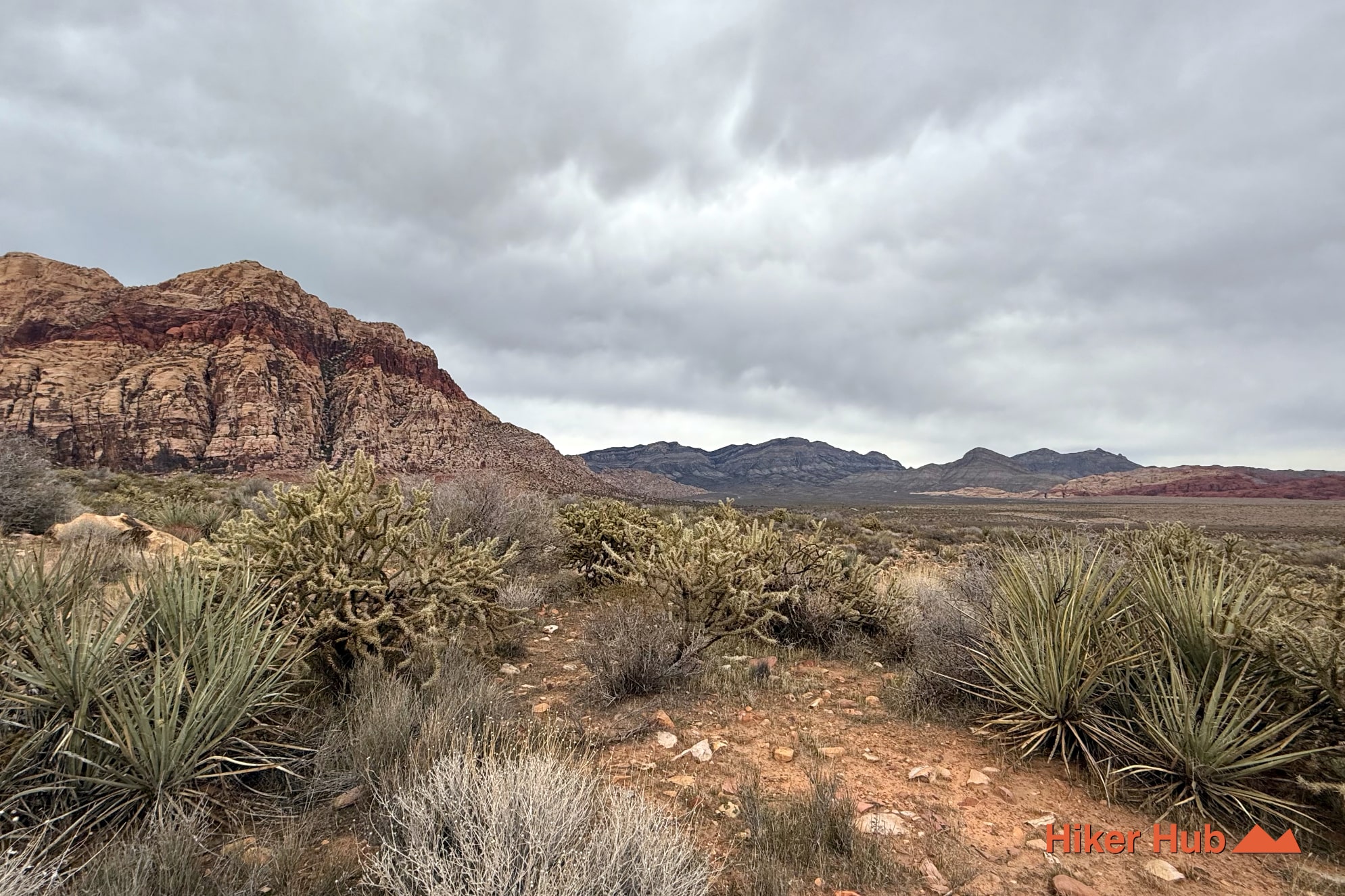
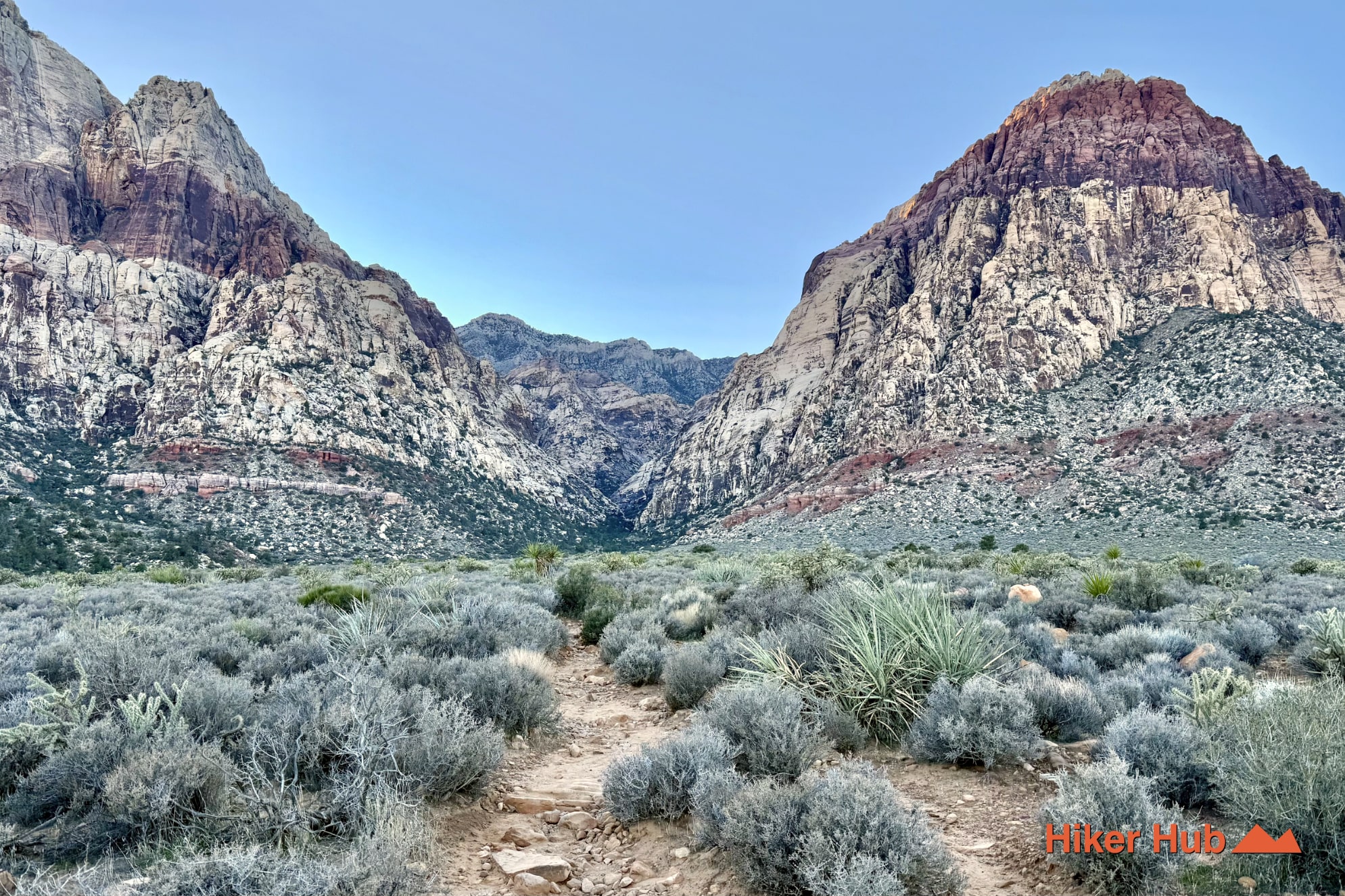
Red Rock Canyon Hiking Trails Loop is a custom circuit that combines recognized trails between Oak Creek and Pine Creek rather than one separately signed BLM route. Beginning near the Scenic Loop exit, it can link Oak Creek, Arnight Trail, Knoll, Fire Ecology, and Pine Creek Canyon. The result is a long, varied tour of open Mojave Desert, sandstone cliffs, seasonal creek corridors, historic remains, and quieter foothill connectors. Few Red Rock Canyon hikes show this many environments in one continuous outing.
The route begins in the broad basin around Oak Creek, follows the escarpment through Arnight and Knoll, then reaches the Pine Creek system. Depending on the exact configuration, hikers can use Fire Ecology, the Pine Creek Loop, or sections of Dale’s Trail before returning. Because several trails and parking areas are involved, distance and direction must be planned before departure rather than improvised after the midpoint.
This field video from the multi-trail route provides a quick look at the changing terrain. It is not a replacement for navigation. Download a map, verify all junctions, and leave enough daylight to correct a mistake.
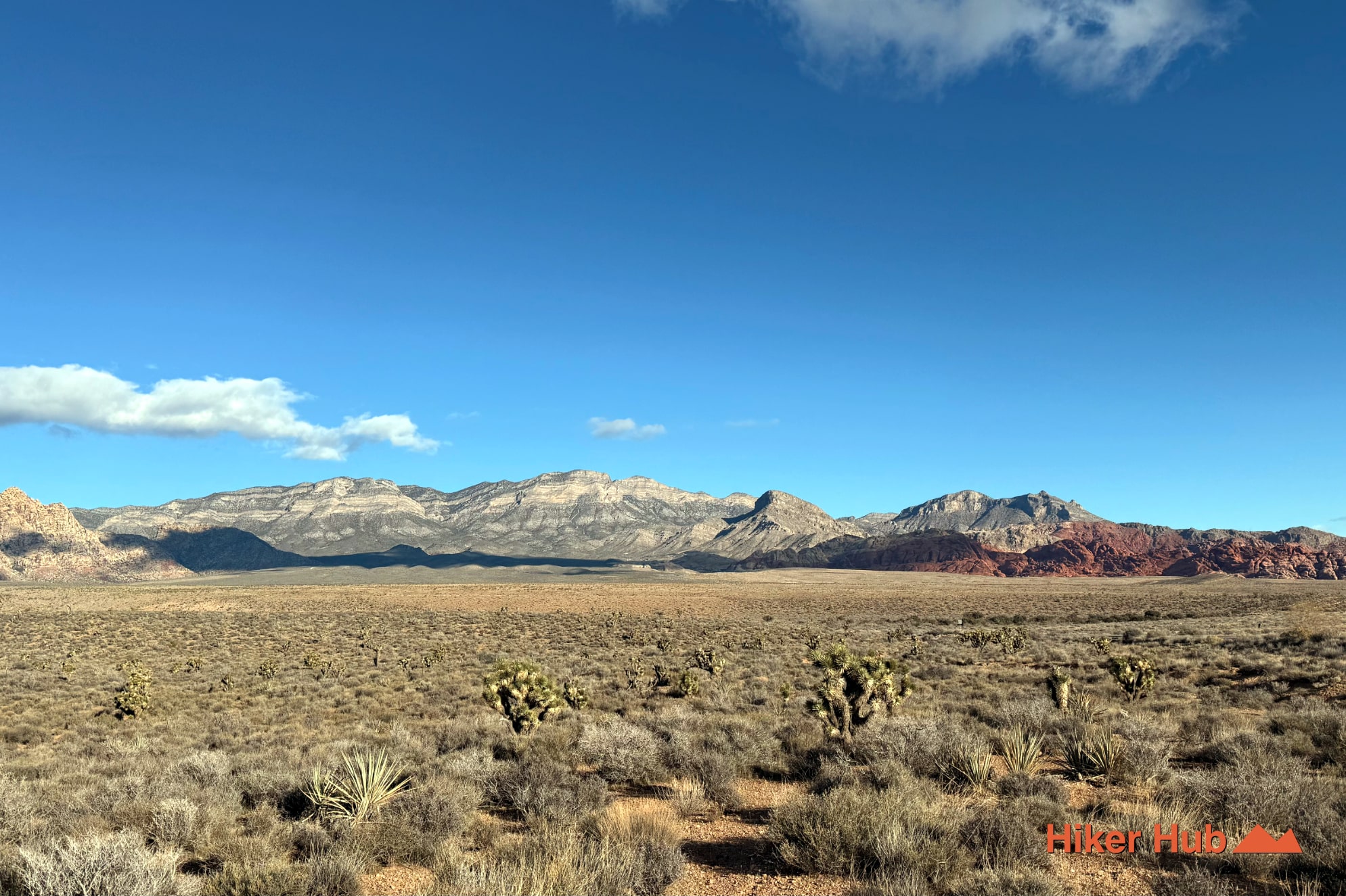
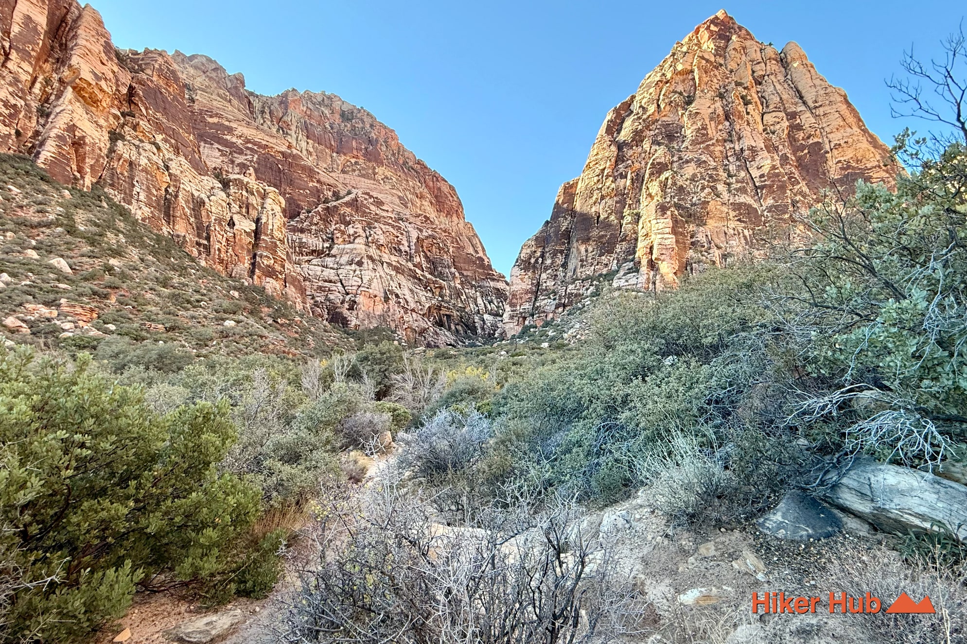
The eastern half crosses alluvial fans built by repeated runoff carrying sand, gravel, and rock out of the Spring Mountains. The terrain looks flat from a distance but rises and falls through washes and low ridges. Near the escarpment, Jurassic Aztec Sandstone forms the Wilson Cliffs and canyon walls. Farther north and west, limestone and other older marine rocks appear, revealing how complex Red Rock Canyon geology is beyond the famous red formations.
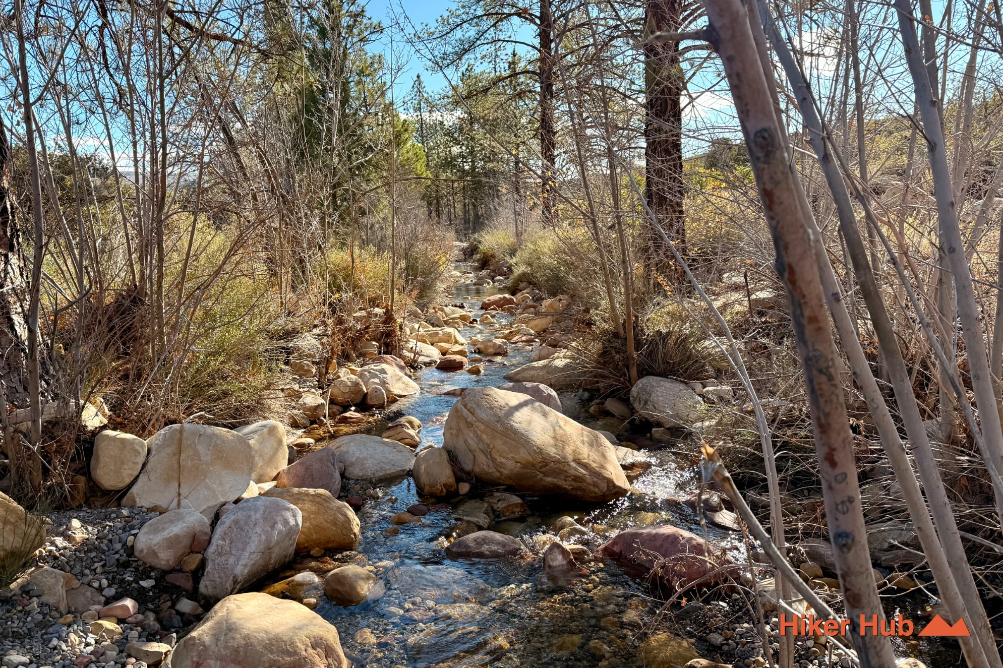
Water creates the greatest contrast. Oak Creek and Pine Creek can support seasonal flow, while shaded soils and drainage corridors hold moisture longer than exposed flats. Cottonwoods, willows, pines, shrubs, grasses, and wildflowers make these areas richer in desert wildlife. The Mojave Desert photo story and Mt. Wilson Overlook photographs show the larger landscape crossed by the loop.
The Fire Ecology section explains how vegetation responds to wildfire and prescribed management. Pine Creek adds the foundation of the old Wilson homestead, while the broader canyon system reflects thousands of years of Indigenous use centered on water, food plants, wildlife, shelter, and stone. Cultural material should remain untouched and precise locations should not be amplified.
The Old Spanish Trail also passed through the wider Southern Nevada region, including documented travel near Cottonwood Springs and Blue Diamond. This modern hiking circuit is not the historic trail and should not be labeled as such. Its value is different: it shows how current Red Rock Canyon hiking trails overlap a landscape with much older layers of movement and land use.
This loop is best for intermediate hikers comfortable with a longer day, multiple junctions, rocky tread, and changing exposure. It is an excellent choice for people who want more than a single viewpoint but do not need a technical summit. Hiking shoes, water, food, sun protection, a headlamp, and a downloaded map are basic equipment.
Oak Creek and Pine Creek parking areas can be busy in cool weather, but Arnight, Knoll, Fire Ecology, and the connecting foothill sections spread visitors over a much larger area. The loop is generally quieter than Calico Tanks or the Red Rock Canyon Visitor Center corridor. It suits photographers, birdwatchers, endurance hikers, and visitors interested in nature, geology, and introspection rather than one famous social-media destination.
November through April is ideal, with October and May appropriate during cooler hours. Winter offers clear views and occasional snow on higher mountains; spring may bring creek flow and flowers. Summer exposure is severe, and canyon shade arrives too late to protect much of the route. Avoid washes during storms and allow wet sandstone to dry before climbing on it.
Timed-entry requirements may apply to the Red Rock Canyon Scenic Loop, so verify current access before leaving Las Vegas. Visitors often search for “Red Rock Canyon park,” but this is a National Conservation Area managed for both recreation and resource protection. For travelers comparing things to do in Las Vegas, this custom route is one of the most complete ways to understand the conservation area on foot. See the Las Vegas Trails and Hiking in Las Vegas photo stories for additional regional context.
Recommended gear
Gear picks are matched to this route using distance, difficulty, terrain, and desert conditions.
Disclosure: some links may be affiliate links. Red Rock Hiker Hub may earn a commission at no extra cost to you.
Water carry
Useful for exposed desert routes where one small bottle is not enough.
View hydration packsShade
Simple shade matters on open desert terrain, sandstone slabs, and long approaches.
View hiking hatsSun protection
A lightweight sun layer is one of the most useful pieces of gear for Red Rock exposure.
View sun hoodiesFooting
Better traction helps on loose gravel, sandstone, rocky washes, and steeper trails.
View trail shoesHeat support
Helpful on hot days, longer hikes, and steep routes where plain water may not be enough.
View electrolytesSkin protection
Small, easy to carry, and useful on nearly every Southern Nevada trail.
View SPF essentials