Water carry
3L Hydration Pack
Useful for exposed desert routes where one small bottle is not enough.
View hydration packs5.83 • Hard • Trail
Conditions, access, and regulations can change. Always verify current information and assess safety before visiting.
Offline maps coming soon. Be first to access downloadable routes.
Some listings may be paid partnerships.
Know a useful stop near this trail? Suggest a business
This loop is comprised of four distinct connector trails located in the "Cowboy Trails" region. More specifically, Blue Diamond Hill. Part of which is within Red Rock Canyon Las Vegas. Yes, only a portion of this area is in Red Rock Canyon National Conservation Area. Said boundary line is displayed on a small white sign on the west side of the hill. Regardless, these trails live up to the areas reputation for renowned hiking in Las Vegas.
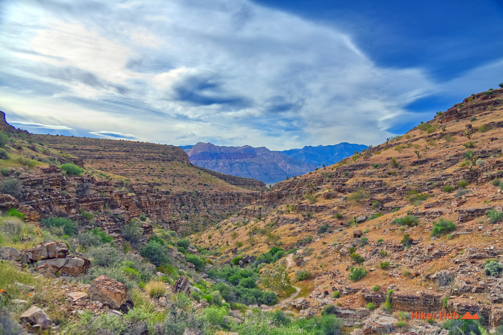
Take the loop counter clockwise or clockwise—makes no difference. Starting at Bob Gnarly however leads hikers or mountain bikers from ground level, up, and into a narrowing canyon. Early mornings you're likely to hear owls, experience cooler temperatures nestled inside the canyon, and increasingly pleasant views of the Spring Mountains directly across.
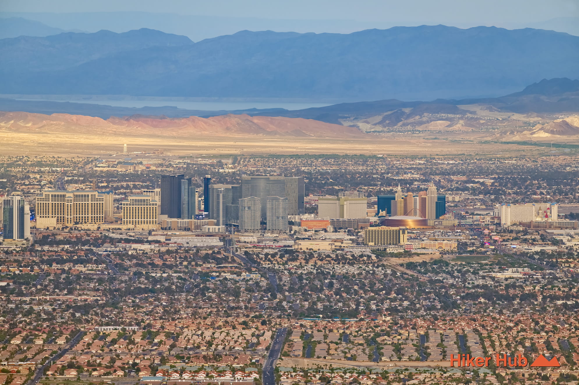
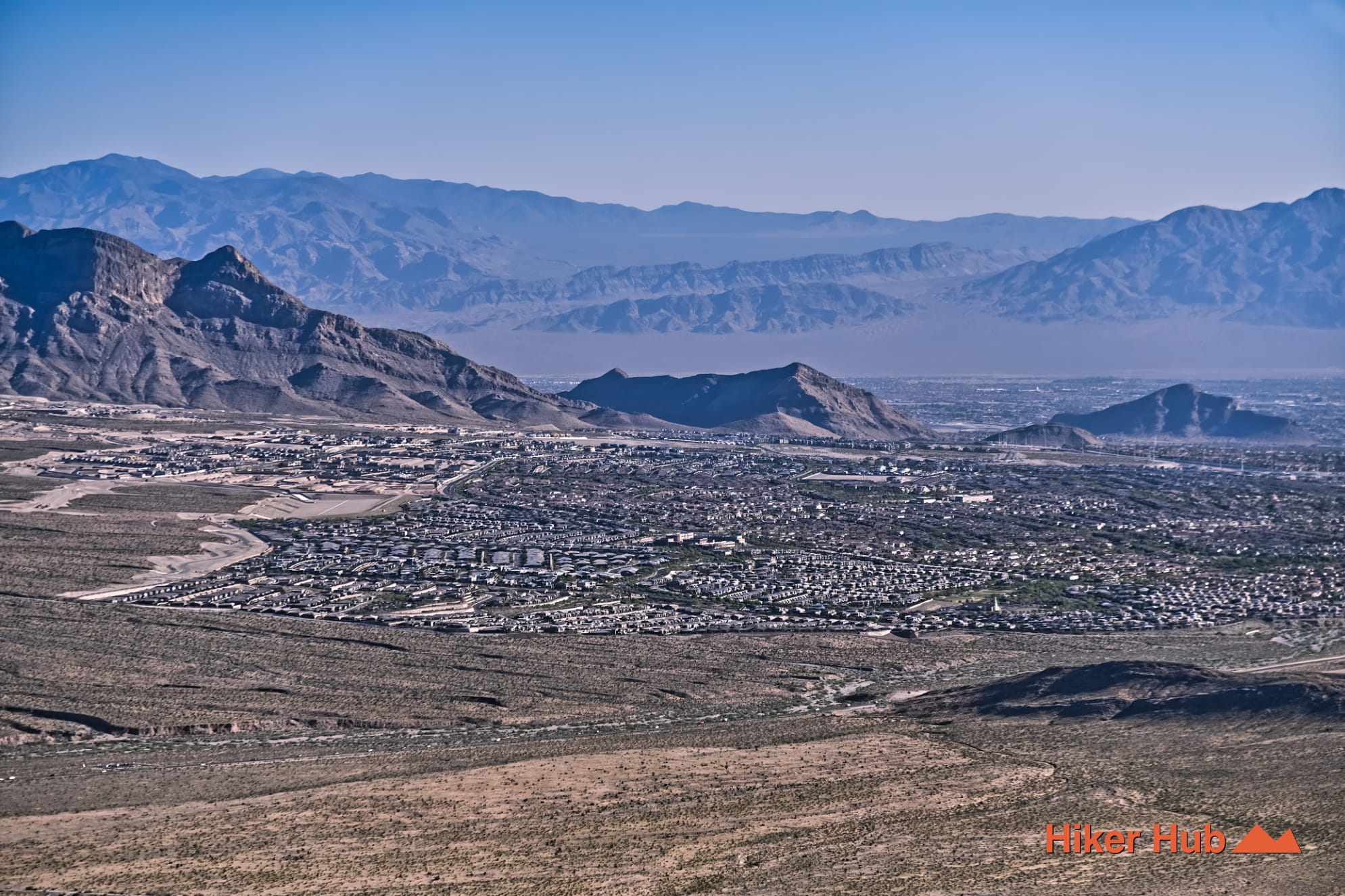
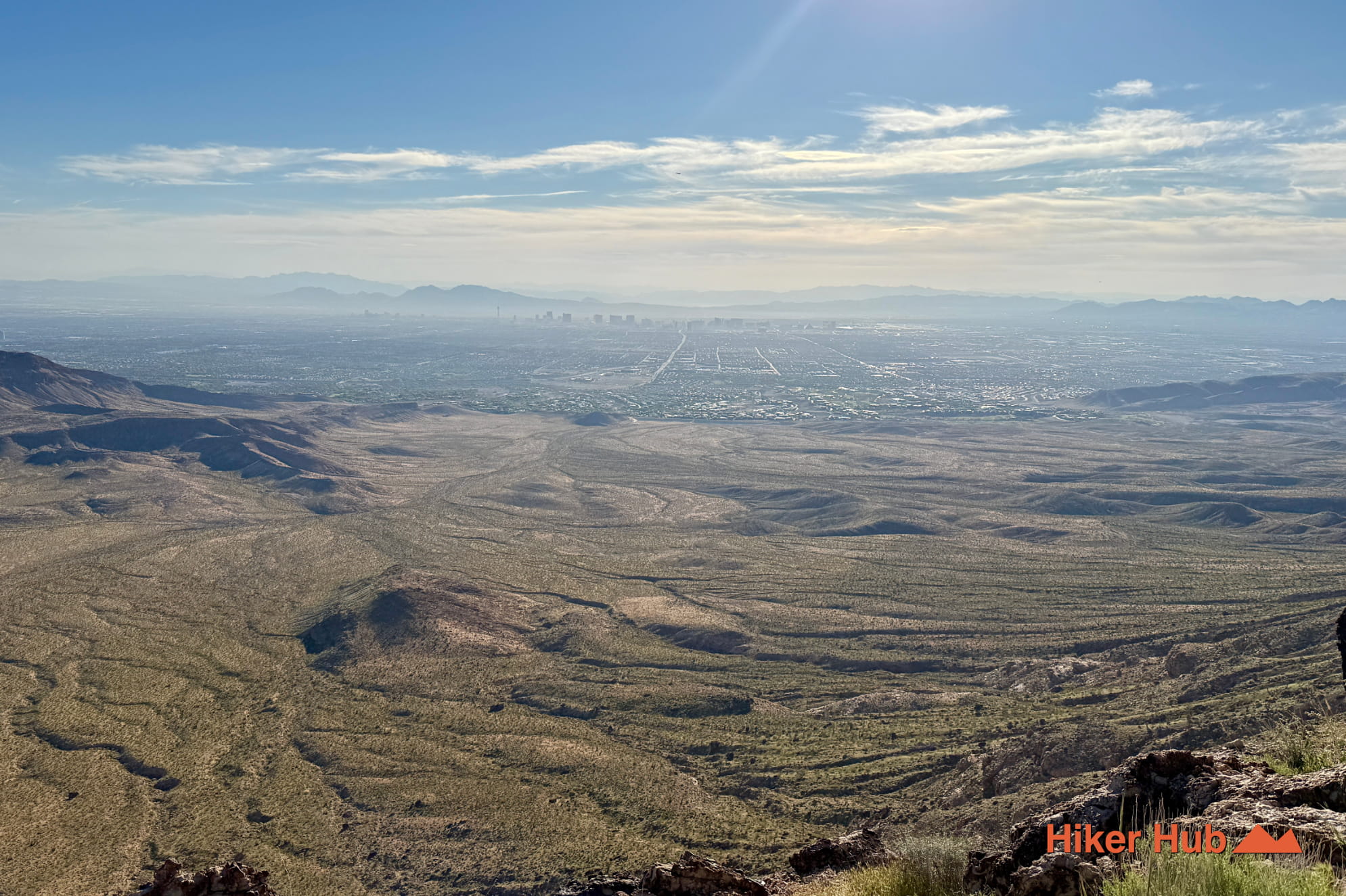
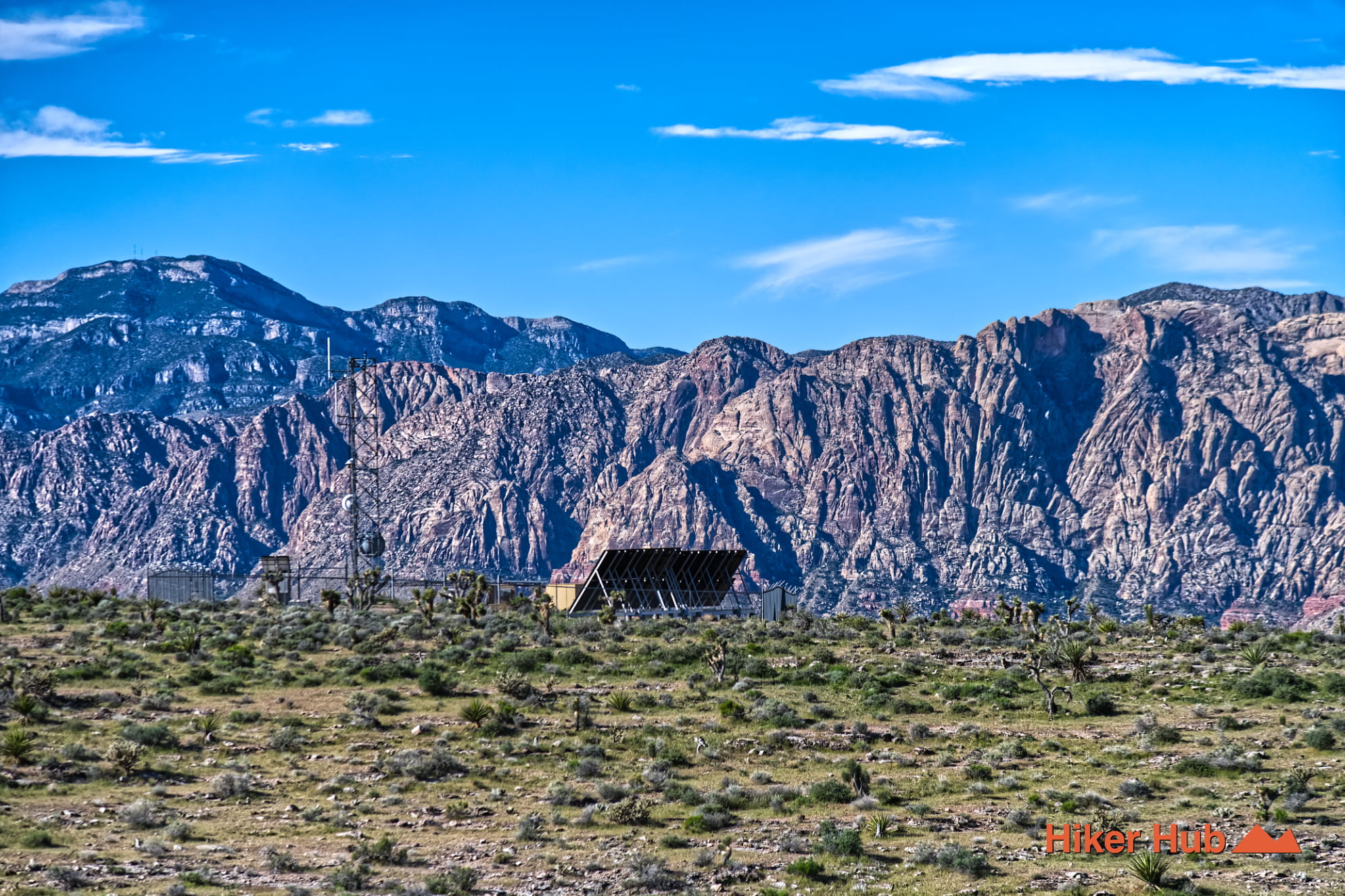
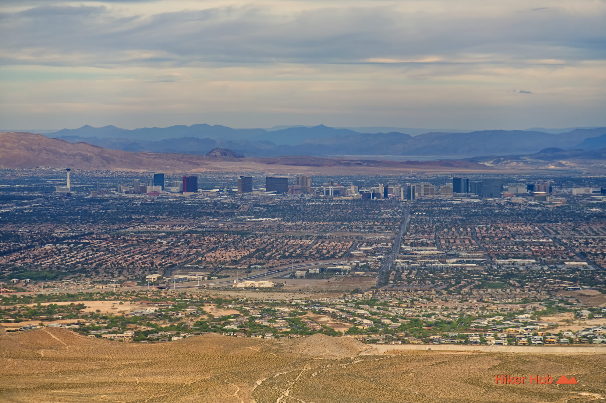
Overlook Ridge takes over nearing the top of the mountain. Ascend up a medium sized hill, and you're presented with miraculous views of the Las Vegas valley. In some cases, seeing all the way to Lake Mead is possible. Walk or bike on a clearly defined trail along the edge towards the radio tower.
The radio tower trail gets its name from the multiple towers littered about on top of this massive Blue Diamond Hill. Bob Gnarly is a canyon. Overlook Ridge is just what it sounds like. Radio Tower is no different. It's both fascinating and a bit eerie as there's a high chance, there won't be anyone else around. Regardless, the views are incomprehensible.
The Boneshaker trail is steep if you're beginning from ground level. Riding down it is undoubtedly exhilerating. Hiking down provides even slower views to take in of the Spring Mountains far below.
Adventure enthusiasts need know something rather crucial about this region—it's unmaintained. And therefore, trails have no signage. There's no directions. Google and Apple Maps certainly help, but there are most definitely numerous forks on nearly every trail. And, said companions are not always accurate. What's commonly found on the Scenic Loop does not exist here. However, these trails have the propensity to be unpredictable in direction. They'll keep you guessing where you're headed, what's coming next, and whether you'll see geological formations, metropolitan views, or gorgeous mountains.
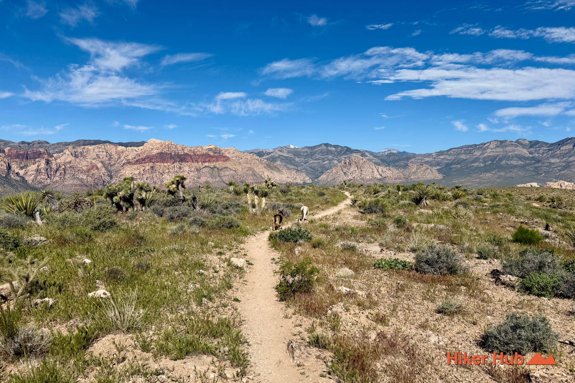
Hiking or mountain biking, this loop is both challenging and wildly rewarding. Hikers have coined this region as some of the best hiking in Las Vegas. Moreover, the views of Red Rock Canyon National Conversation Area... from these so called Cowboy Trails are undeniably unqiue.
Recommended gear
Gear picks are matched to this route using distance, difficulty, terrain, and desert conditions.
Disclosure: some links may be affiliate links. Red Rock Hiker Hub may earn a commission at no extra cost to you.
Water carry
Useful for exposed desert routes where one small bottle is not enough.
View hydration packsFooting
Better traction helps on loose gravel, sandstone, rocky washes, and steeper trails.
View trail shoesSafety
Worth carrying for cactus spines, scrapes, blisters, and minor trail injuries.
View first aid kitsHeat support
Helpful on hot days, longer hikes, and steep routes where plain water may not be enough.
View electrolytesShade
Simple shade matters on open desert terrain, sandstone slabs, and long approaches.
View hiking hatsEarly / late starts
Cheap insurance if a route takes longer than expected or you start before sunrise.
View headlamps