Explore trails, hikes, and outdoor routes throughout Red Rock Canyon, Mount Charleston, Basin and Range National Monument, Desert National Wildlife Refuge, and Southern Nevada. Find scenic walks, scrambling routes, OHV trails, and backcountry adventures based on distance, difficulty, terrain, and route style.
-
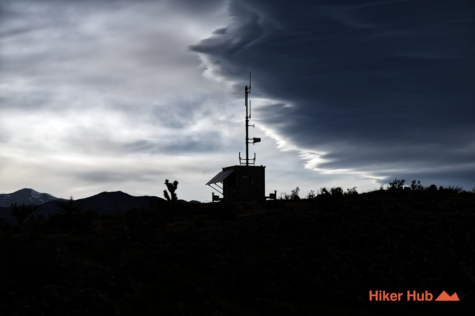
Radio Tower Trail
Undoubtedly named after the nebulous radio towers in the area. Some larger than others. All of which are unique landmarks in the rural, rolling mountain terrain.
View Trail → -
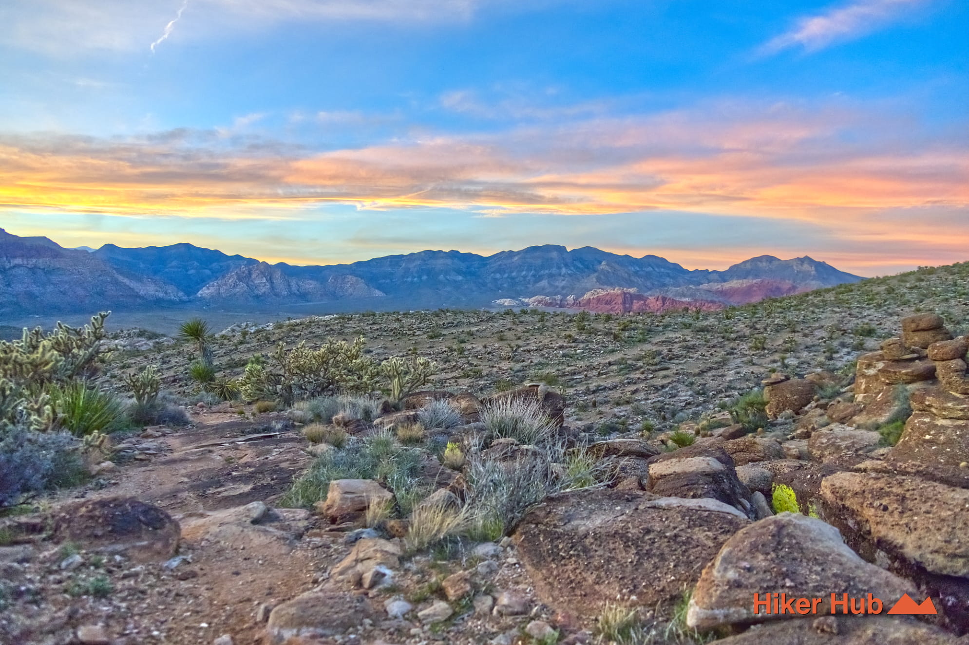
Kibbles n’ Bits–Cat in the Hat Loop
A rugged, unmaintained loop, leading high up into the mountains providing sensational views of the Spring Mountain Range and Red Rock Canyon.
View Trail → -
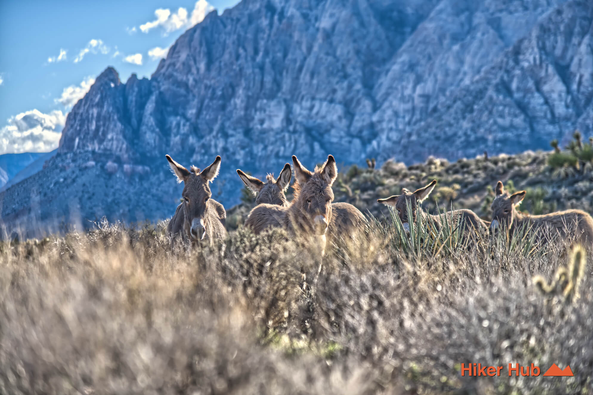
Wilson's Pimple Trail
A short but medium hike to a distinct peak above the neighboring valley, known for its direct ascent and expansive views despite its modest distance.
View Trail → -
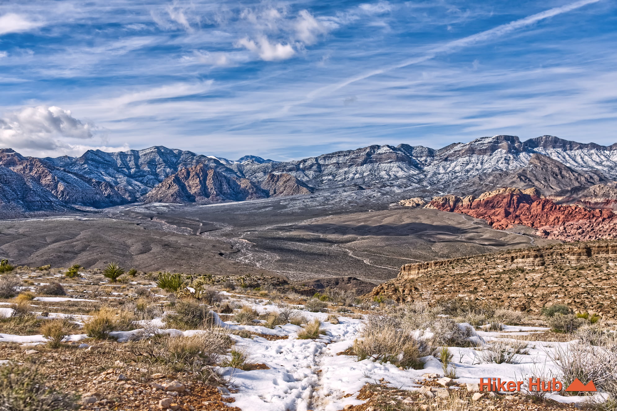
Boneshaker Trail
A rugged Cowboy Trails-area route off SR-159—popular with mountain bikers, great for hikers, with big desert views.
View Trail → -
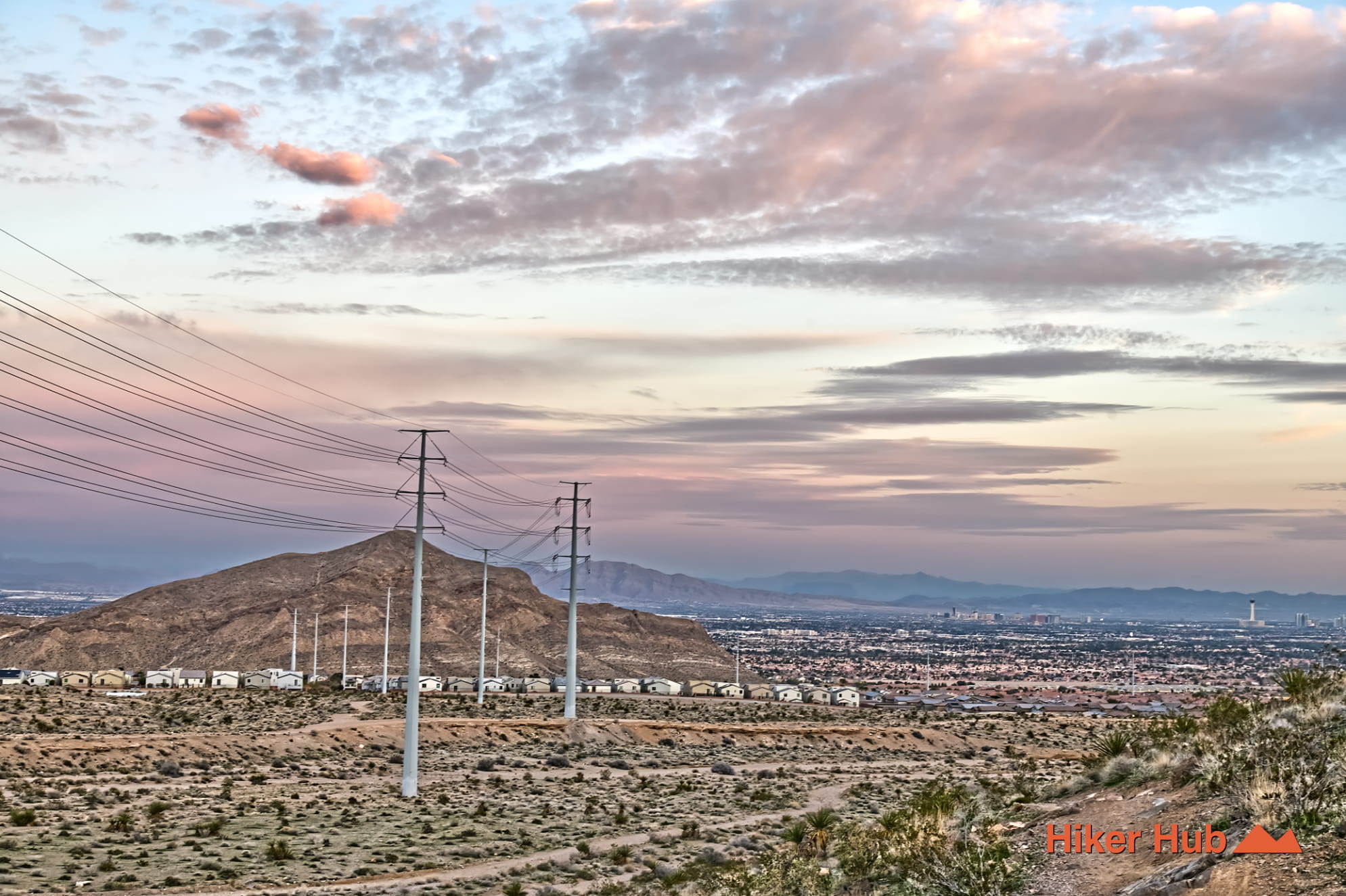
Buckskin No Dab Trail
Similar vibe to Black Friday—short, punchy, and technical in spots, linking into the Buckskin/Cliff Shadows network.
View Trail → -
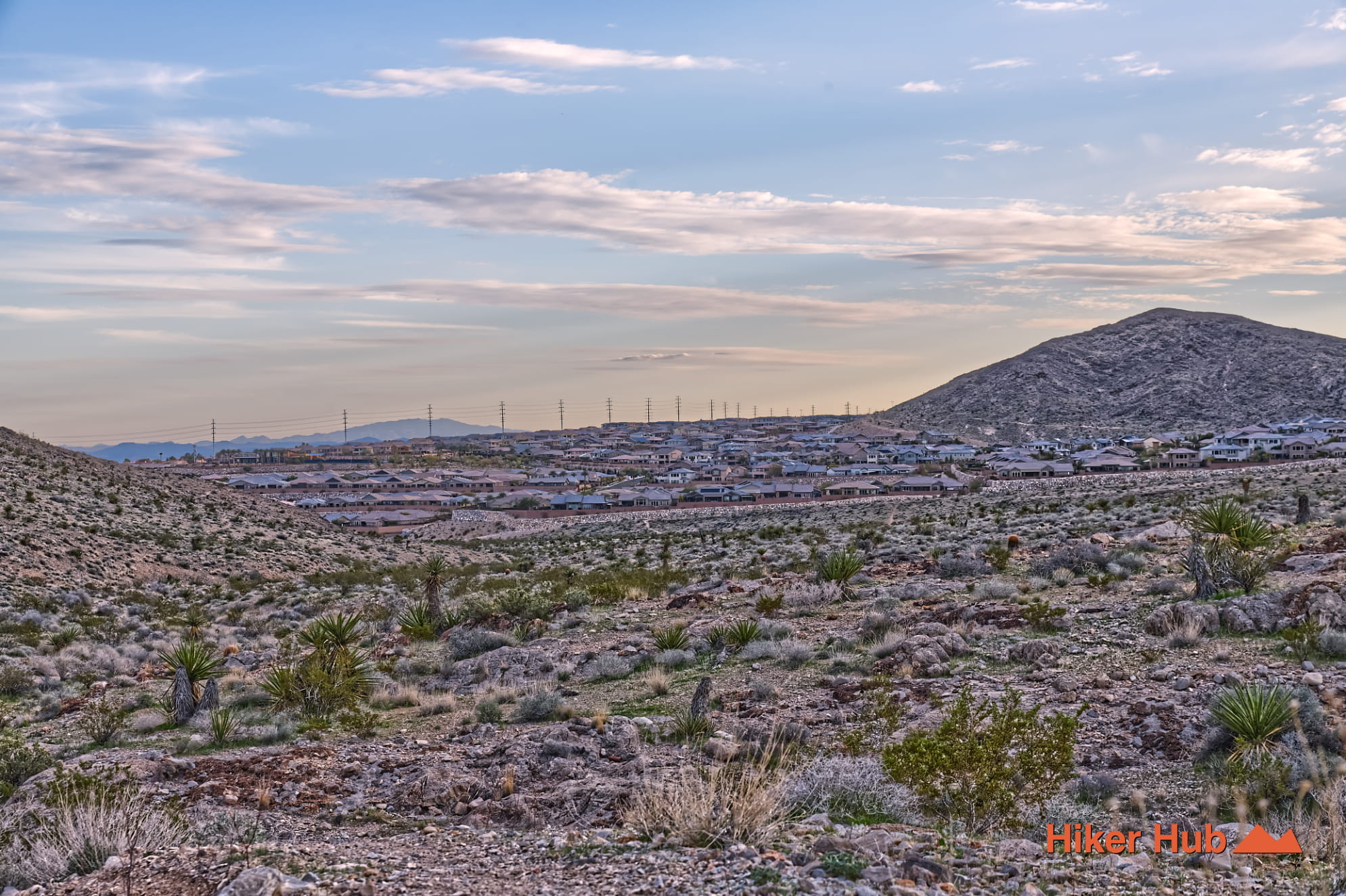
Buckskin Black Friday Trail
A fun connector between Toque and Middle Earth with dips, turns, and quick direction changes through open desert terrain.
View Trail → -
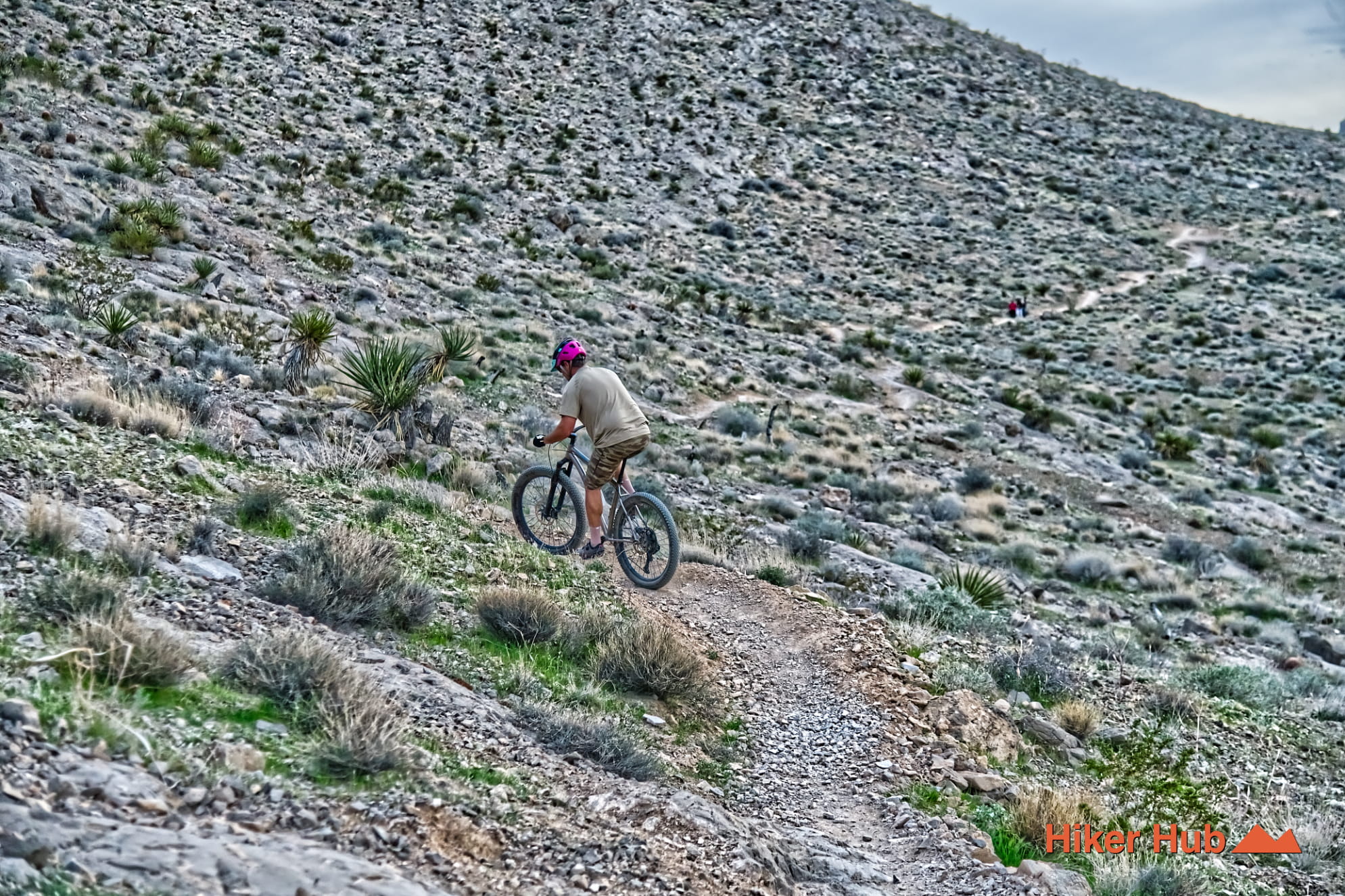
Buckskin Middle Earth Trail
Wraps the quieter backside of Cheyenne Mountain—an easygoing connector feel with wide views and tight passages.
View Trail → -
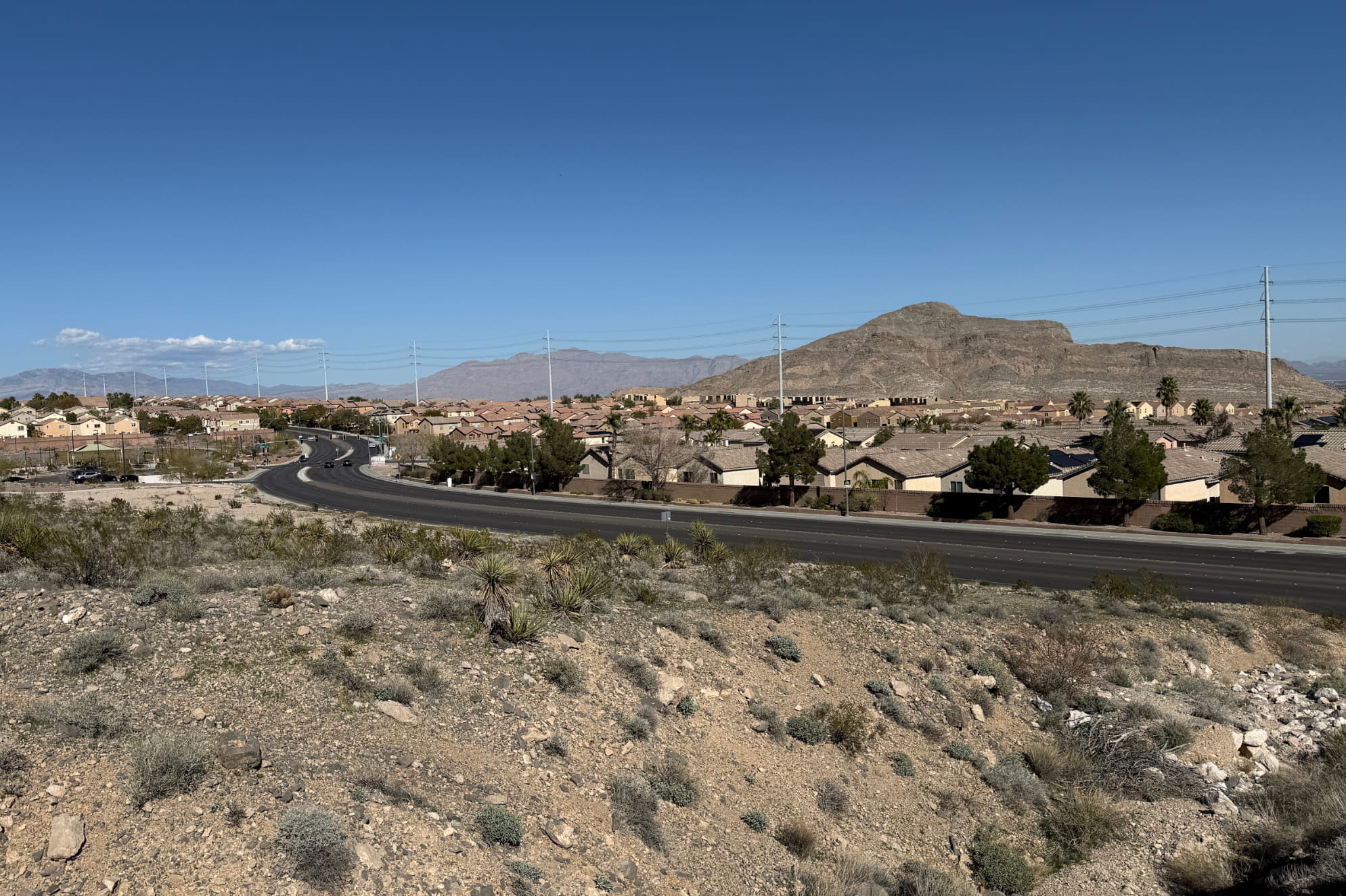
Buckskin Toque Trail
Front-side traverse along Cheyenne Mountain—close to Cliff Shadows Pkwy at times, but tucked into desert slopes and rock.
View Trail → -

Mountain Biking Loop North Las Vegas
A varied loop linking Toque, Black Friday, and Middle Earth around Cheyenne Mountain—desert singletrack, rocky stretches, and Strip views.
View Trail →