Take Red Rock Offline
Offline maps coming soon. Be first to access downloadable routes.
Nearby Essentials
-
Gas: Chevron StationDirections
Some listings may be paid partnerships.
Know a useful stop near this trail? Suggest a business
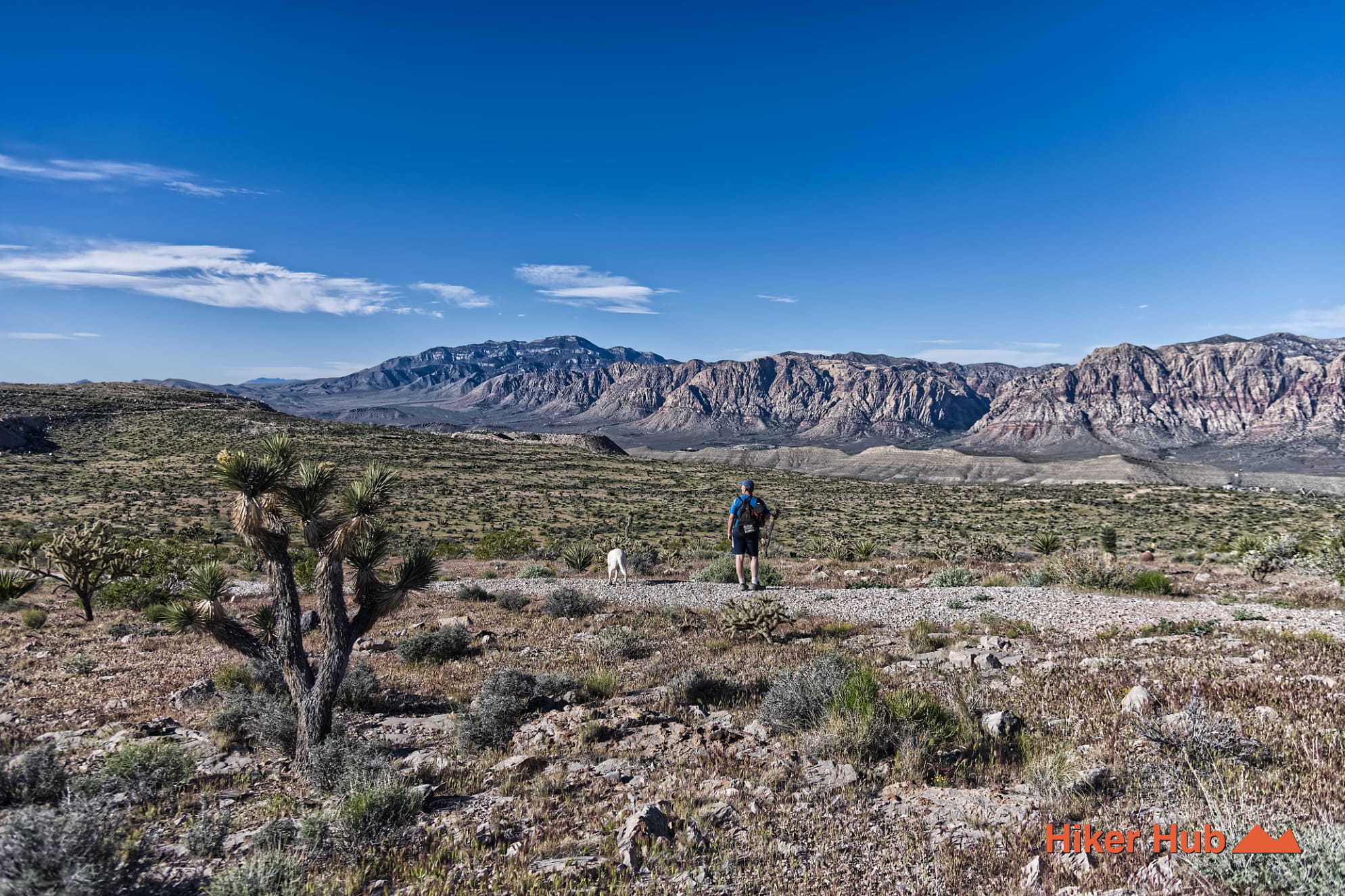
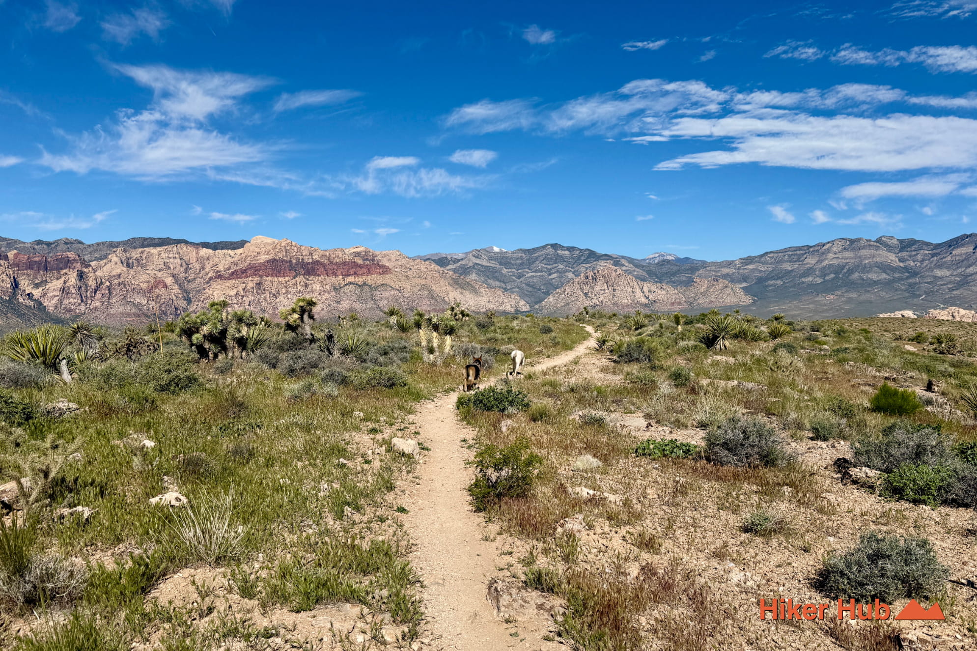
The Radio Tower trail is in a far lesser traveled region of Red Rock Canyon Las Vegas. This and many other similar hiking trails are on Blue Diamond Hill which sits across the highway from conventional trails. One cannot access this region via the Scenic Loop or even adjacent to First Creek, Middle Oak, etc. You must park at the Fossil Canyon trailhead—preferrably outside the gates.
Blue Diamond Hill
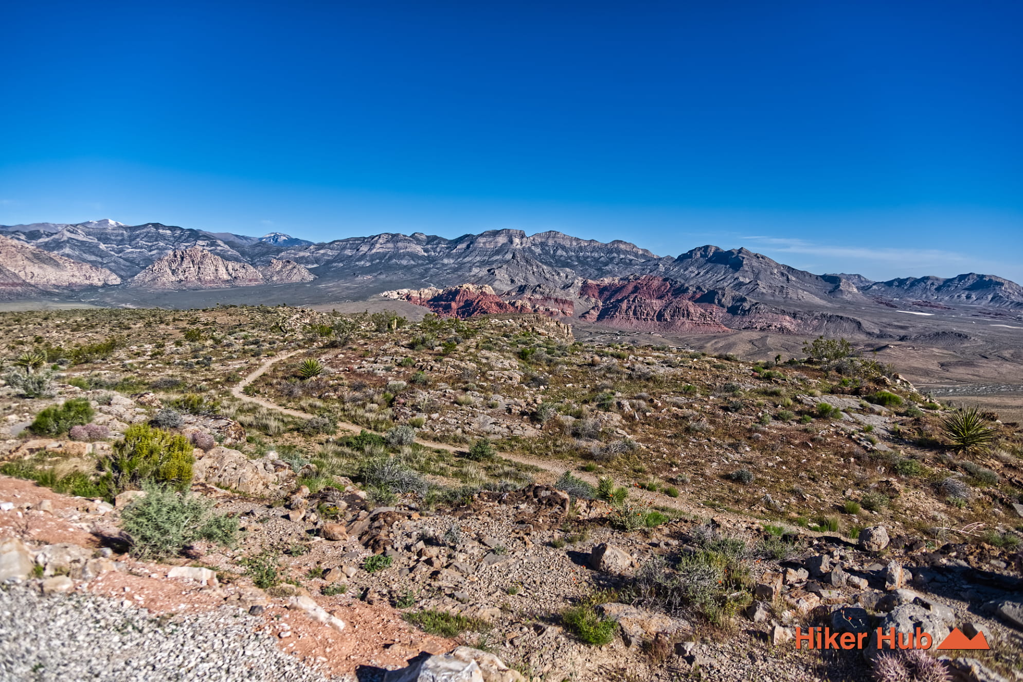
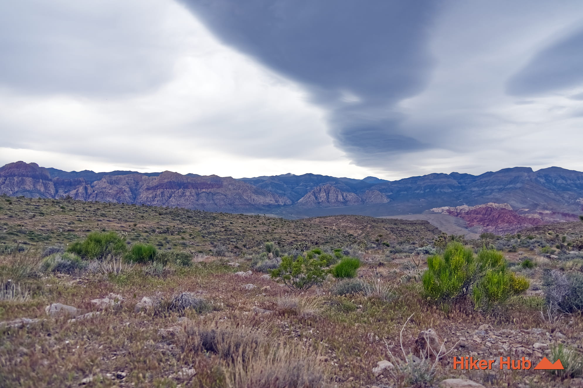
Blue Diamond Hill is a notable region for mountain biking. What may not be well known however, is this area offers fantastic hiking trails as well—unlike anything you'll experience across the highway. The views are undoubtedly unique as they provide panoramic views of the Spring Mountains, State Route 159 (SR-159), and the surrounding area.
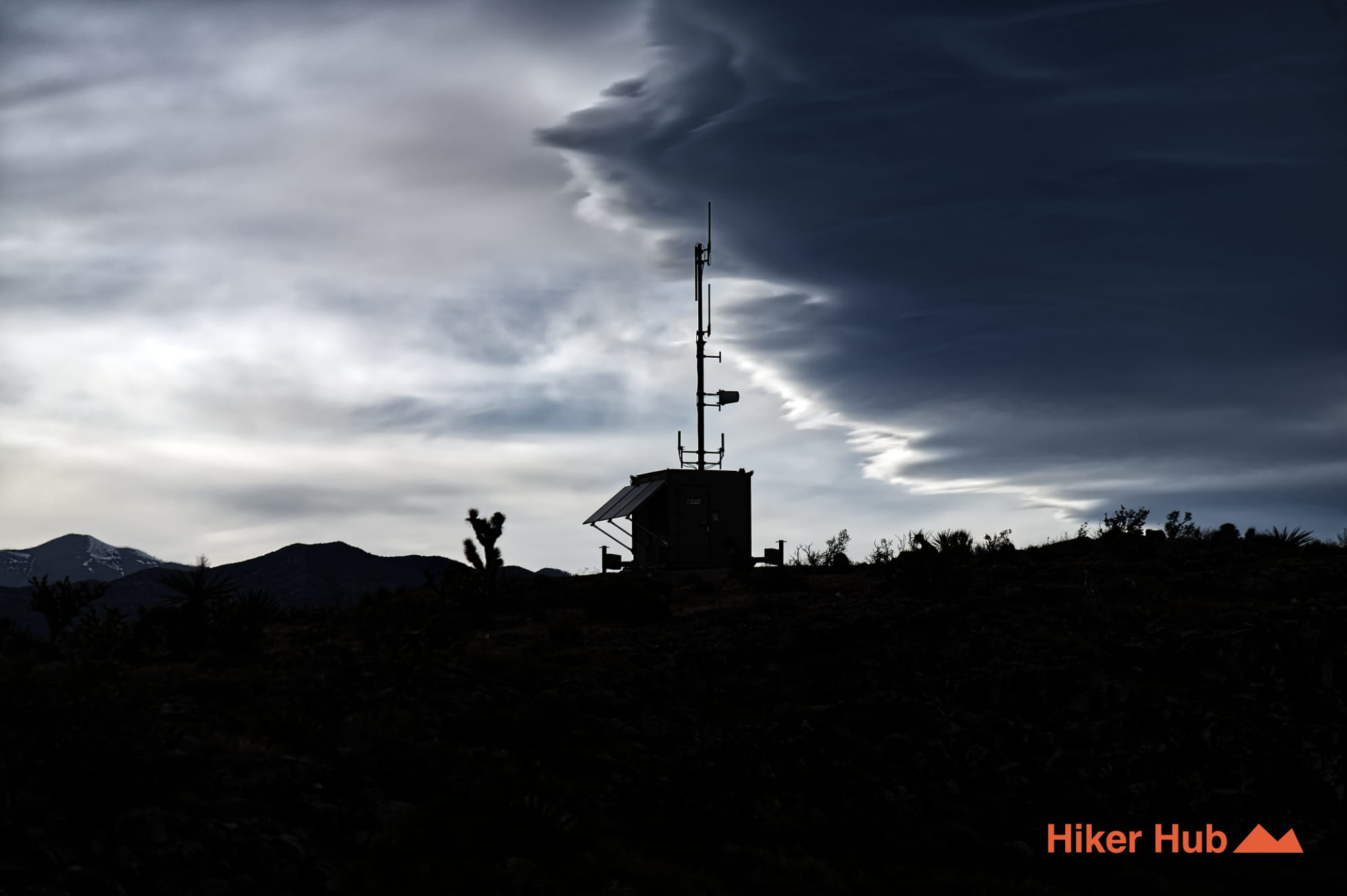
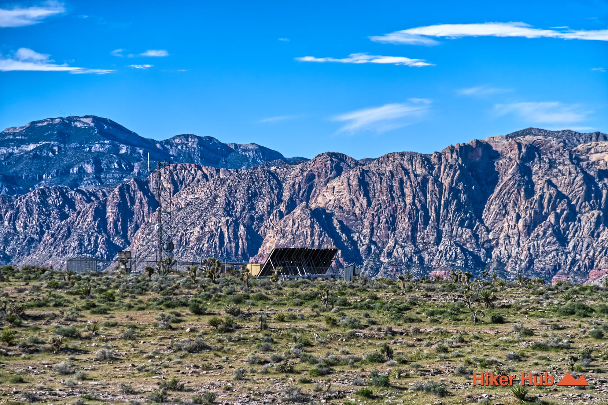
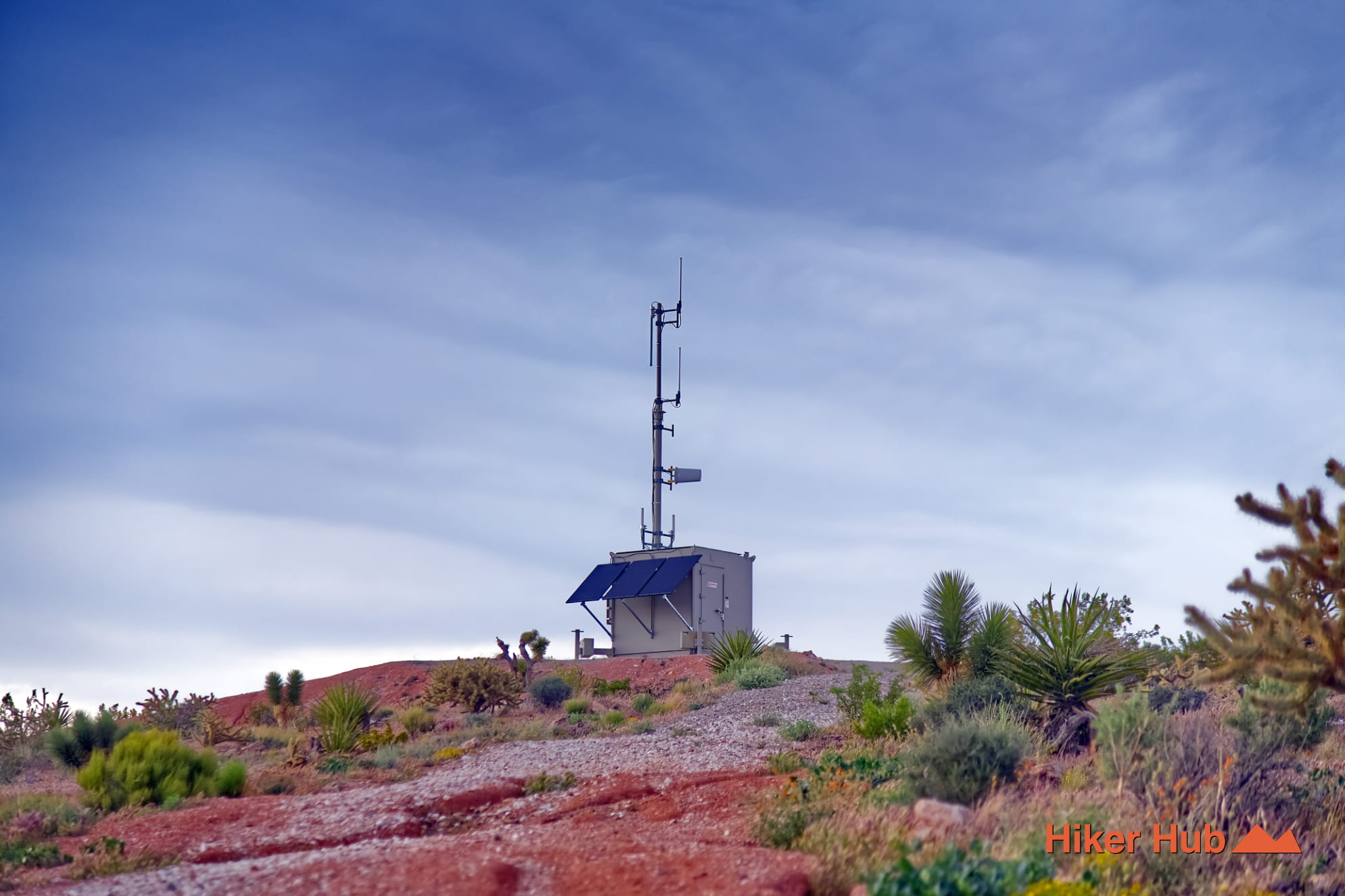
The Radio Tower trail name is derived from the scattered radio towers nestled deep in the mountains. Of which are a critical communication hub for the Las Vegas Valley. Sitting at nearly 5,000 feet, these towers are located in a strategic point, providing two way radio coverage. Allowing utility workers, construction crews, delivery fleets, and transport services across Las Vegas, Henderson, and Boulder Junction to stay in constant communication.
Clark County operates some of said towers. These infrastructure sites are frequently utilized for local government communication, providing essential services for regional public safety agencies, park rangers, and public works.
Radio Tower Trail
Adventure enthusiasts cannot access the Radio Tower trail from ground level. This connector trail is accessible via Overlook Ridge and Cat in the Hat. Neither of which are accessible from ground level either. Blue Diamond Hill has an innumerable amount of connectors reaching peaks and fascinating vantage points.
Use offline maps and/ or plan ahead before venturing into these mountains—for navigational purposes as well as heat preparedness. This area is entirely exposed. Plan accordingly.