Take Red Rock Offline
Offline maps coming soon. Be first to access downloadable routes.
Nearby Essentials
-
Gas: Chevron & TerriblesDirections
Some listings may be paid partnerships.
Know a useful stop near this trail? Suggest a business
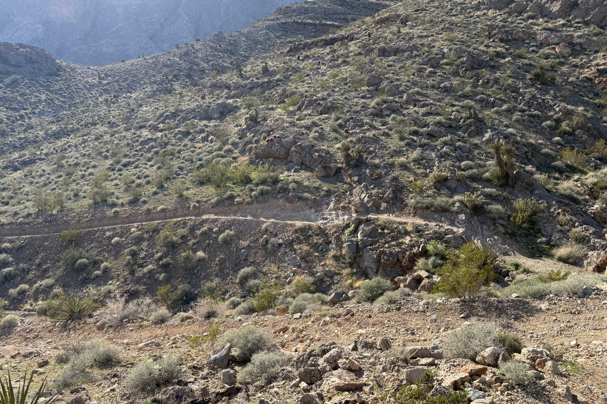
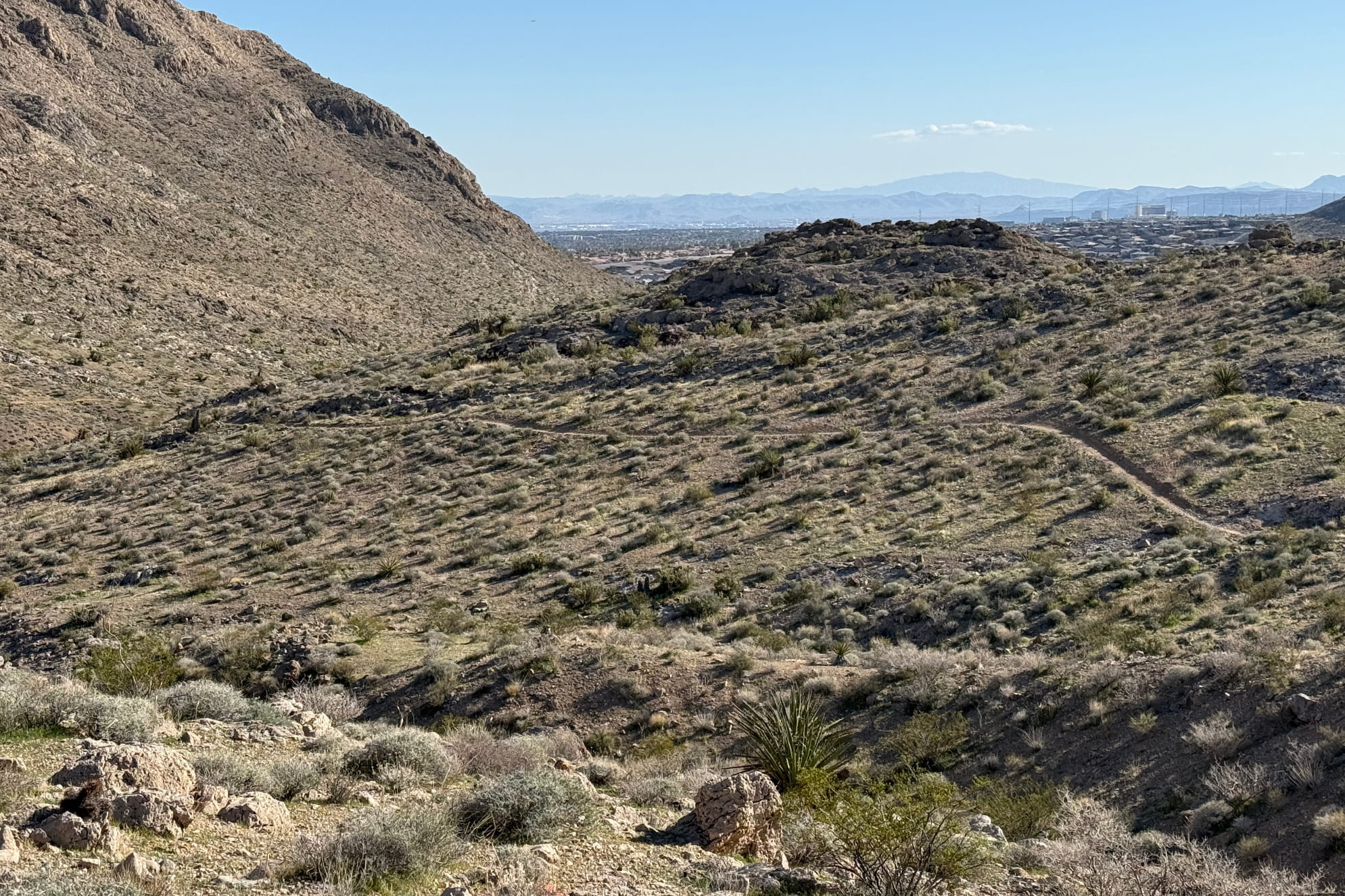
The Toque trail (often spelled Toque or Torque) originates from the same "renegade" mountain biking culture of the late 1990s and early 2000s that created the No Dab trail. There is a bit of a local debate on the name. Some riders believe it was named "Torque" because of the sheer power required to crank up the short, punchy limestone ledges that characterize the trail. Toque serves as the "spine" that connects the lower, easier desert paths to the more aggressive mountain trails. This connector trail leads to No Dab and several other segments.
Toque Trail in Buckskin Cliff Shadows
Toque is rated as a Black Diamond for mountain bikers not because of massive jumps, but because of the technical "climbing skill" required. It’s a low-speed, high-concentration trail where you have to perfectly time your pedal strokes to clear rocks without clipping your pedals. Like No Dab, Toque spent the first decade of its life as an "unsanctioned" social trail. As the Sun City Summerlin and Lone Mountain neighborhoods grew, the trail became so popular that the Bureau of Land Management (BLM) and the Southern Nevada Mountain Biking Association (SNMBA) eventually brought it into the fold of the official trail map.
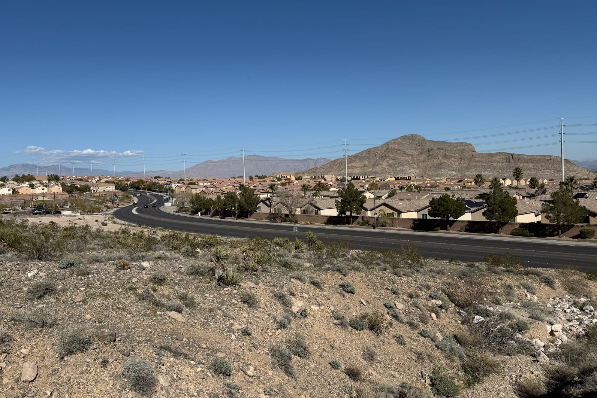
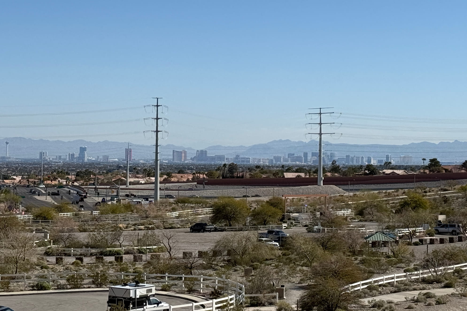
Toque came from the local mountain bike community's need for a "technical connector." It wasn't designed by a city planner on a computer; it was "burned in" by hundreds of tires following the natural, rocky contours of the limestone valley. Buckskin Cliff Shadows contains an array of mountain bike trails in Las Vegas. Each area, inside or beyond Red Rock Canyon National Conservation Area provides very unique views and trails.