Explore trails, hikes, and outdoor routes throughout Red Rock Canyon, Mount Charleston, Basin and Range National Monument, Desert National Wildlife Refuge, and Southern Nevada. Find scenic walks, scrambling routes, OHV trails, and backcountry adventures based on distance, difficulty, terrain, and route style.
-

Bob Gnarly–Boneshaker Loop
Fascinating and challenging hike or bike through rugged mountain terrain. This loop spans four separate trails, each of which possess unique environments.
View Trail → -
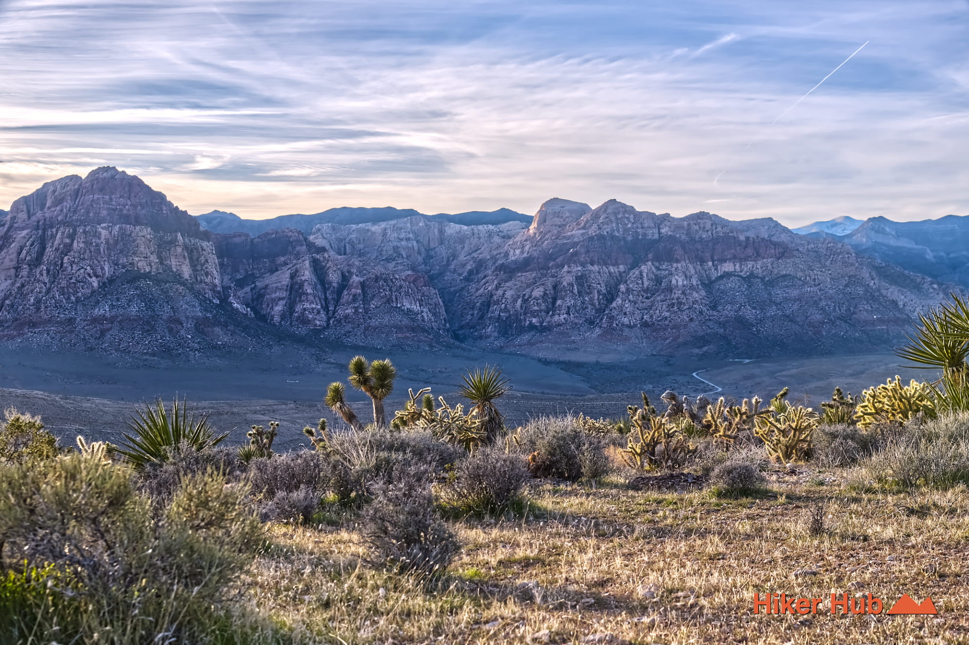
Cat in the Hat Trail
A primitive route known for mountain biking and hiking. Sits between the Bunny trail and Kibbles-n-Bits. Can be combined with others too.
View Trail → -
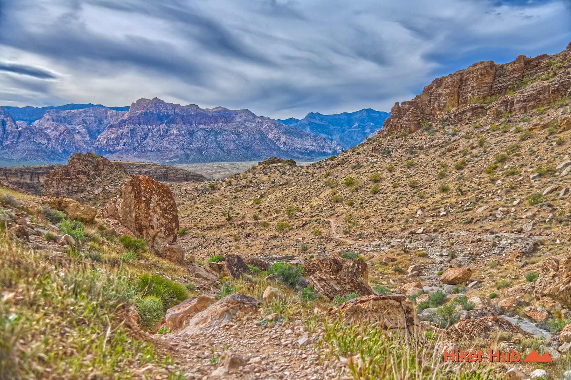
Bob Gnarly Trail
Progressive incline from spacious region, ascending through a wide to narrowing canyon. Connector route leading to views of the Las Vegas Valley.
View Trail → -
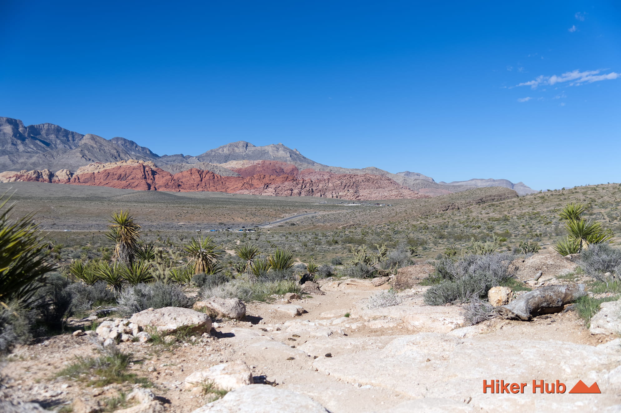
Bunny Trail
A short primitive route in the South side of Red Rock Canyon linking the wider Cowboy Trails network. Best used as a connector, contains open desert terrain, and has access to several loop options.
View Trail → -
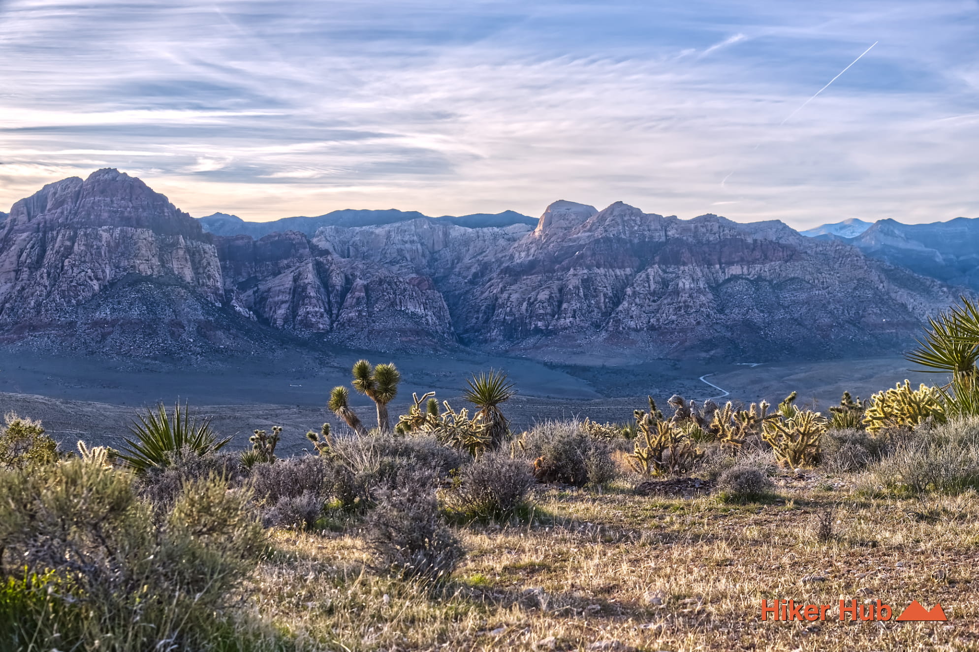
Kibbles n’ Bits Trail
A primitive connector route in the Cowboy Trails area that moves through rolling desert terrain and links well with Cat in the Hat.
View Trail → -
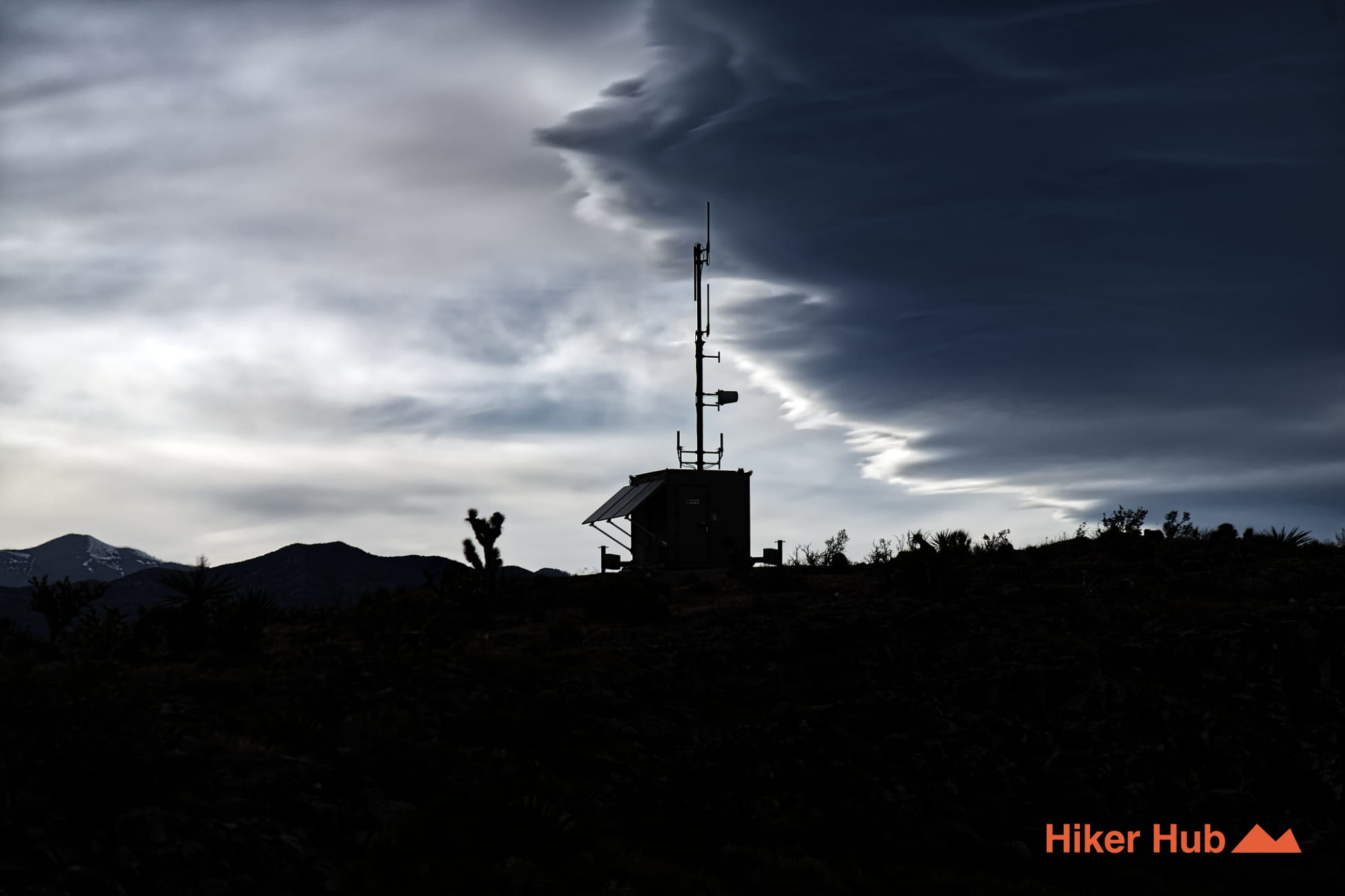
Radio Tower Trail
Undoubtedly named after the nebulous radio towers in the area. Some larger than others. All of which are unique landmarks in the rural, rolling mountain terrain.
View Trail → -
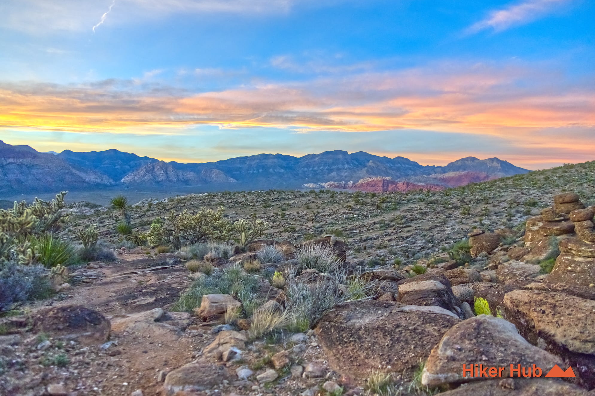
Kibbles n’ Bits–Cat in the Hat Loop
A rugged, unmaintained loop, leading high up into the mountains providing sensational views of the Spring Mountain Range and Red Rock Canyon.
View Trail → -
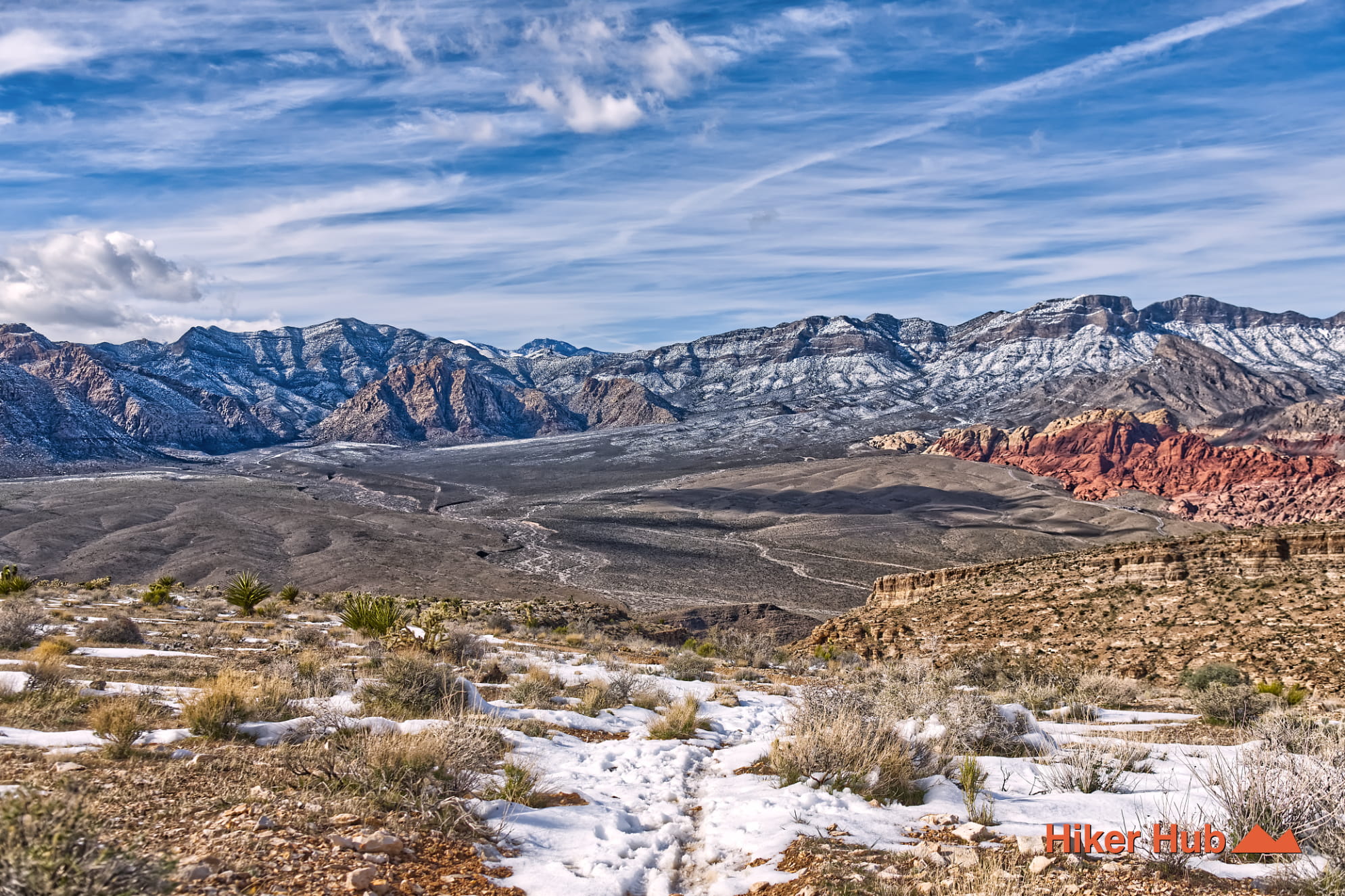
Boneshaker Trail
A rugged Cowboy Trails-area route off SR-159—popular with mountain bikers, great for hikers, with big desert views.
View Trail → -

Buckskin No Dab Trail
Similar vibe to Black Friday—short, punchy, and technical in spots, linking into the Buckskin/Cliff Shadows network.
View Trail →