Footing
Rocky-Terrain Trail Shoes
Better traction helps on loose gravel, sandstone, rocky washes, and steeper trails.
View trail shoesRed Rock Canyon, Las Vegas
1.79 • Easy • Trail
Conditions, access, and regulations can change. Always verify current information and assess safety before visiting.
Offline maps coming soon. Be first to access downloadable routes.
Some listings may be paid partnerships.
Know a useful stop near this trail? Suggest a business
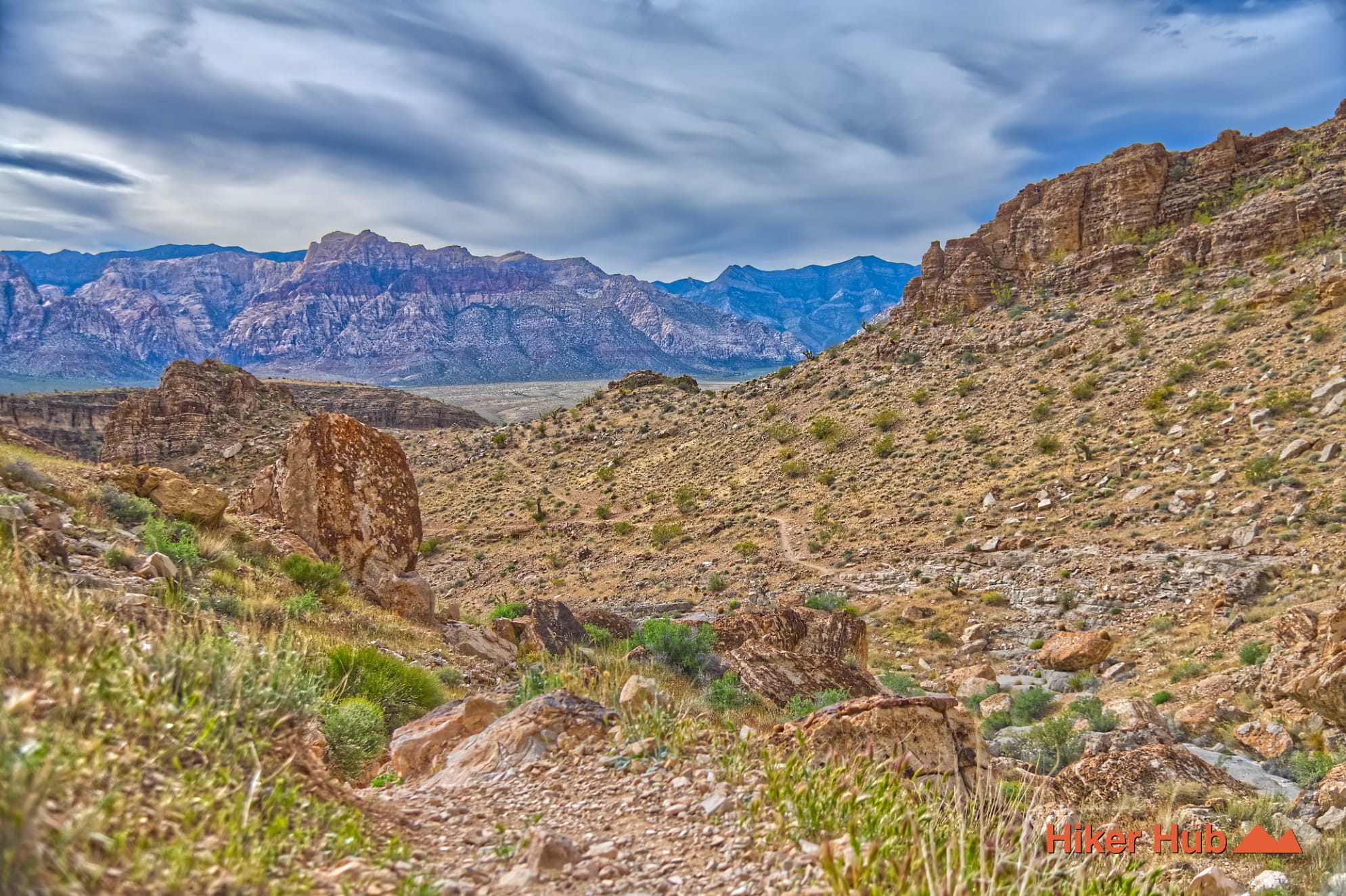
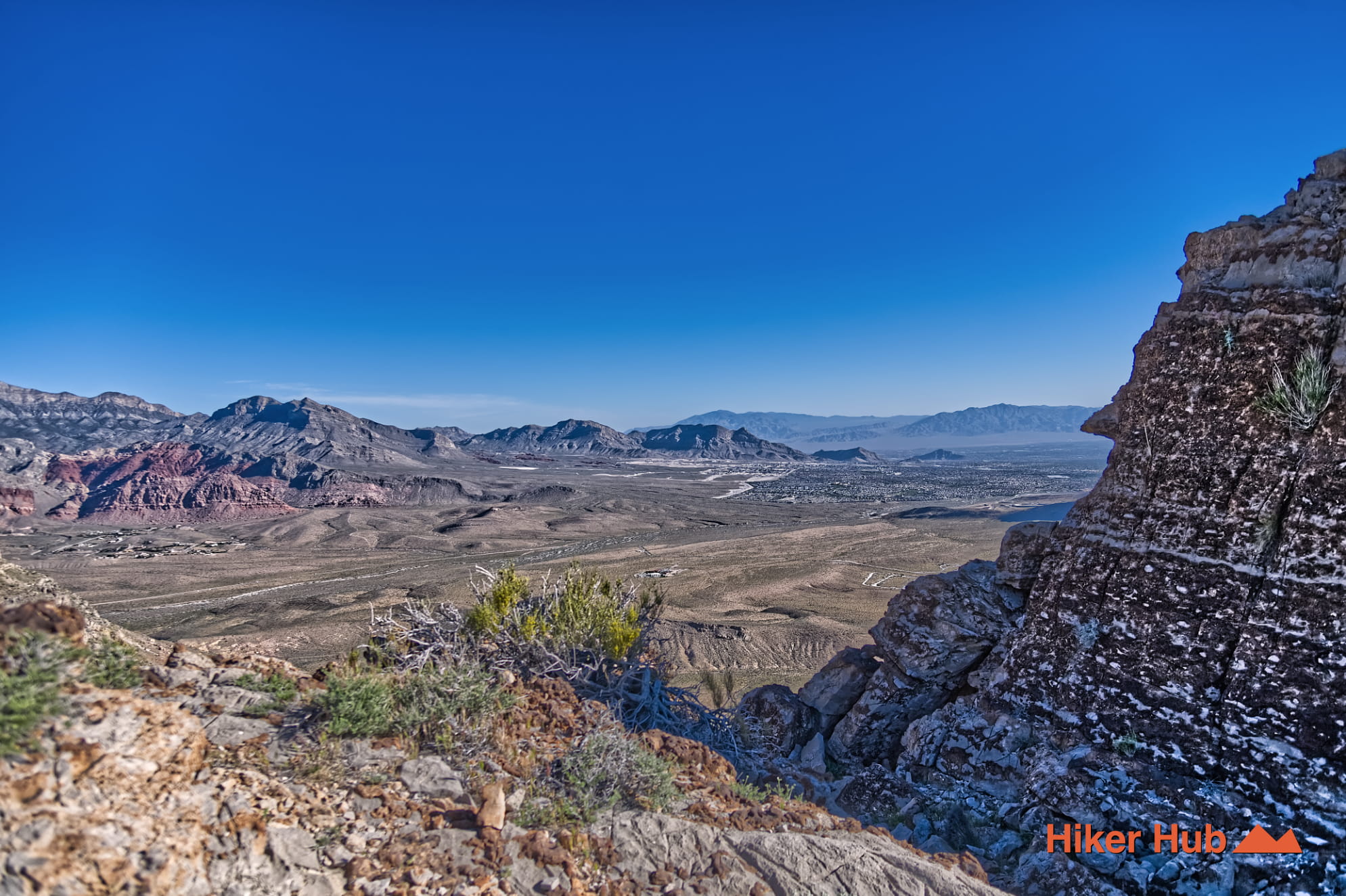
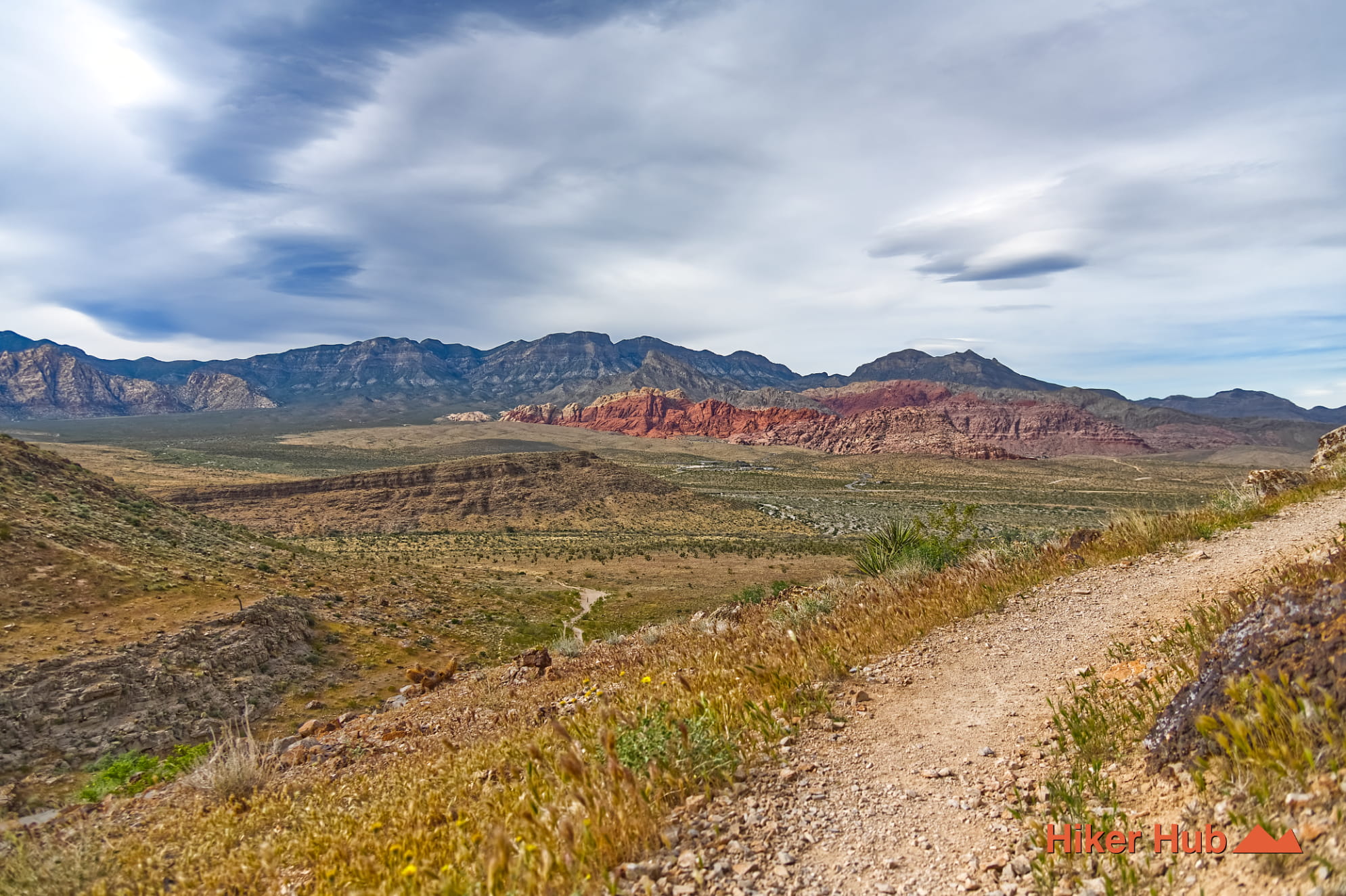
If you're looking for mountain biking in Las Vegas, this is it! The Bob Gnarly trail is but one of many opportunities for thereof. Be it hiking or biking, this trail serves as a connector to the Overlook Ridge trail. It's also a nice introduction to what the Cowboy trails offers. Locals may also refer to this region as Blue Diamond Hill. Regardless, most of these mountains are part of Red Rock Canyon Las Vegas (Red Rock Canyon National Conservation Area).
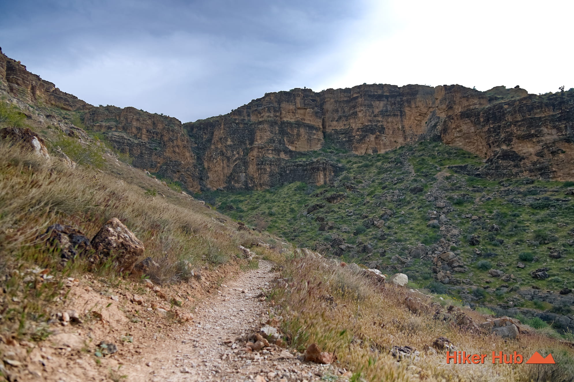
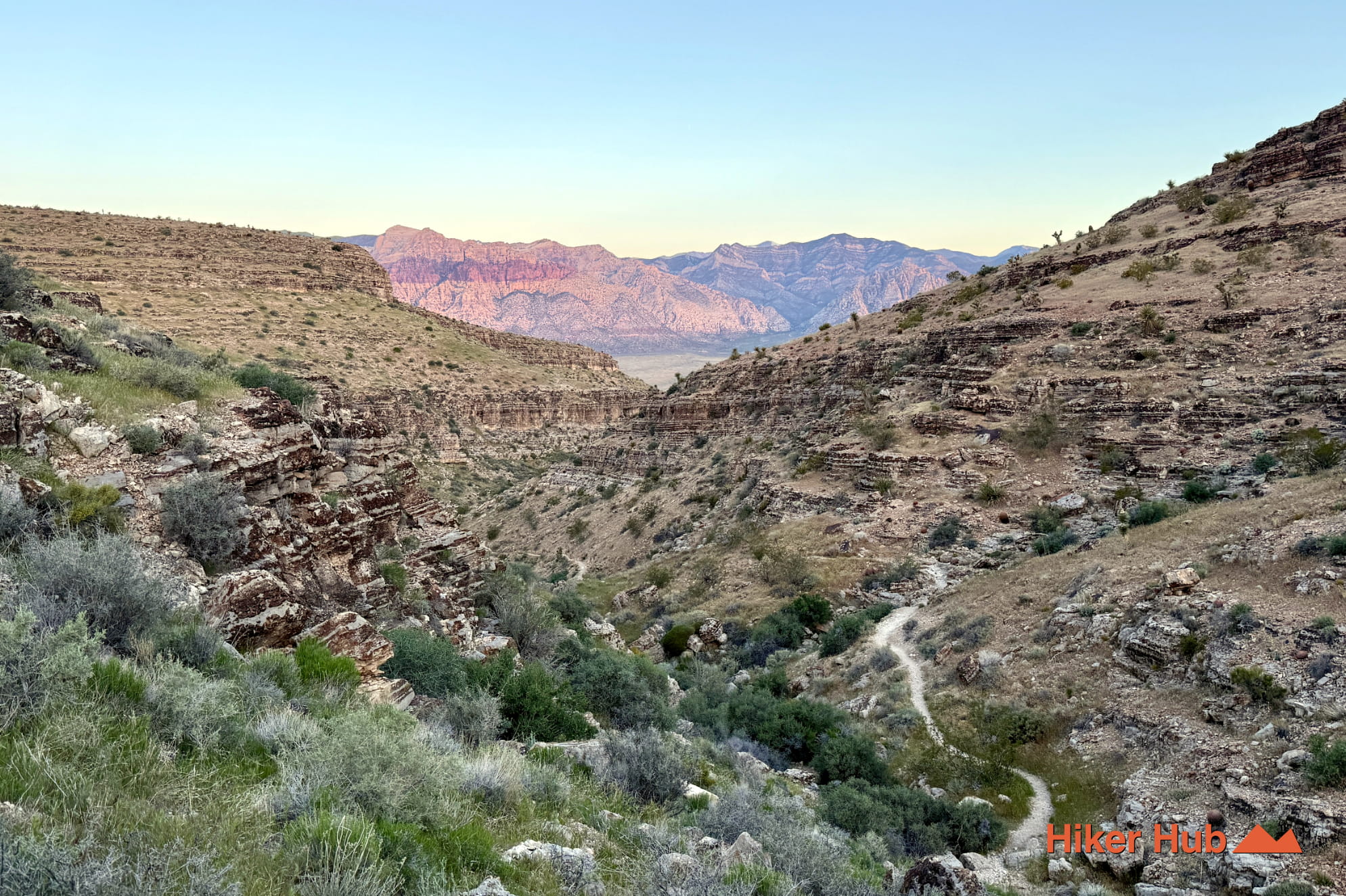
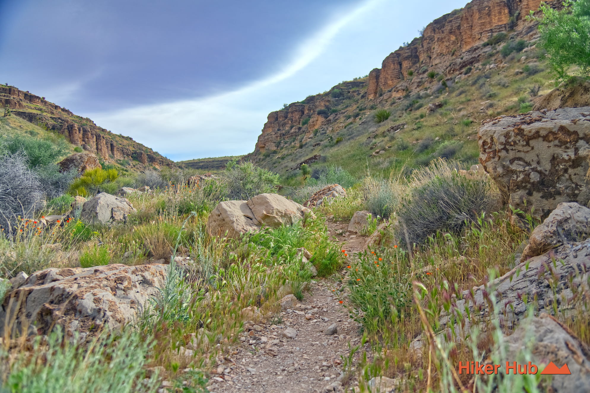
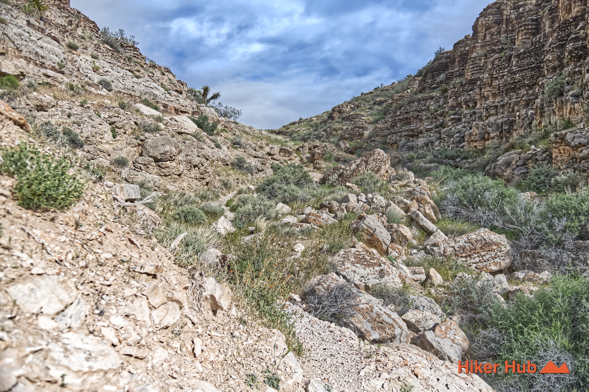
The Bob Gnarly trail is a route leading hikers and bikers from nearly ground level, up and through a narrowing canyon with a progressive incline. Hiking shoes are highly recommended here. They provide far more foot support, more confidence, and overall stability than traditional shoes. Though the trail does not consist of scrambling or even route finding, careful attention to navigation is still required. There's several forks along the way and Bob Gnarly is a primitive/ unmaintained trail.
This nebulous series of mountains contain an array of trails for both hiking and mountain biking. Come winter, some areas are covered in snow...which undoubtedly adds an additional layer of adventure and unique terrain. Due to the exposed nature however, high temperatures can downgrade the experience exponentially or simply render this region off limits. Hiking in the very early morning hours or late afternoon is a wonderful experience. Regardless, plan your experience carefully.
Moreover, this region has something no others possess. Bizarre black holes are scattered haphazardly about and are not natural geological formations. They're exposed remnants from mining excavations. Circa 1925 - 2004, Blue Diamond Hill was home to one of the world's largest gypsum mines which left semi large chutes very visible today. Of which were created by mining operations to extract gypsum—a mineral used in drywall and plaster.
Discovering one of these bizarre black holes may initially look geologically related. Or even eerie. Do not explore these abandoned mine shafts as the surrounding rocks may be unstable or could pose sinkhole risks. Additionally, they may be home to bats, barn owls, rattlesnakes, rodents, coyotes, bobcats, or even mountain lions (cougars) depending on size and depth.
Recommended gear
Gear picks are matched to this route using distance, difficulty, terrain, and desert conditions.
Disclosure: some links may be affiliate links. Red Rock Hiker Hub may earn a commission at no extra cost to you.
Footing
Better traction helps on loose gravel, sandstone, rocky washes, and steeper trails.
View trail shoesWater carry
Useful for exposed desert routes where one small bottle is not enough.
View hydration packsShade
Simple shade matters on open desert terrain, sandstone slabs, and long approaches.
View hiking hatsSun protection
A lightweight sun layer is one of the most useful pieces of gear for Red Rock exposure.
View sun hoodiesSafety
Worth carrying for cactus spines, scrapes, blisters, and minor trail injuries.
View first aid kitsPhone backup
Useful when taking photos, checking maps, or spending a long day outside.
View power banks