OHV routes
Portable Tire Air Compressor
Useful for dirt-road and OHV travel where tire pressure matters.
View air compressorsSpring Mountains near Las Vegas
3.78 miles • Easy • OHV Route
Conditions, access, and regulations can change. Always verify current information and assess safety before visiting.
Offline maps coming soon. Be first to access downloadable routes.
Some listings may be paid partnerships.
Know a useful stop near this trail? Suggest a business
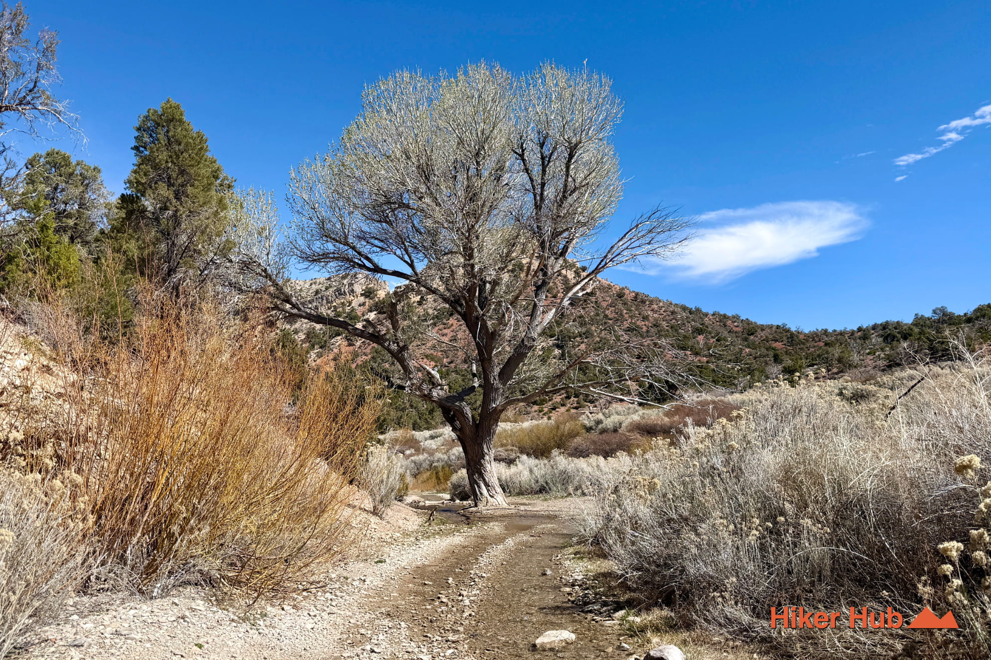
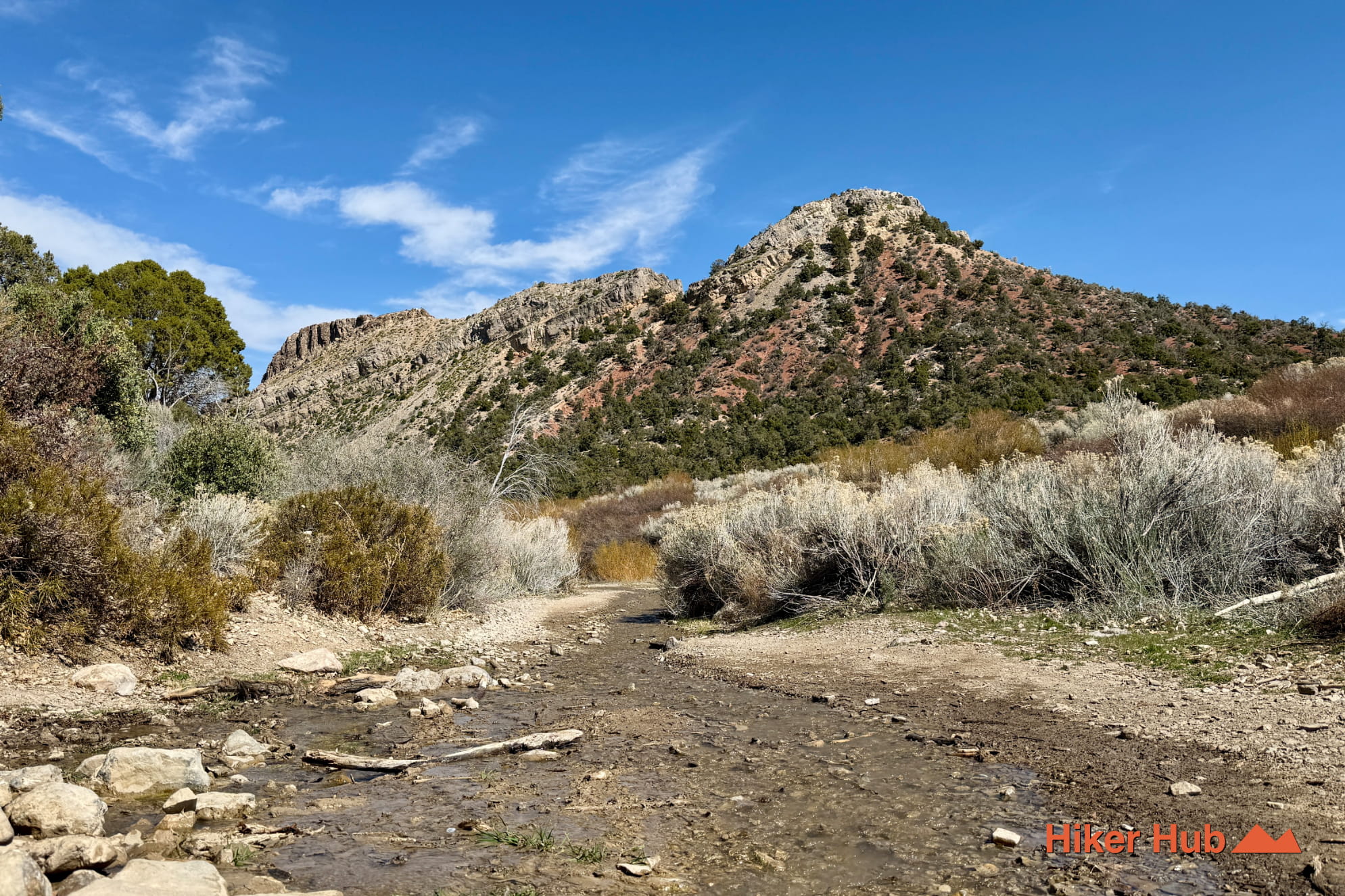
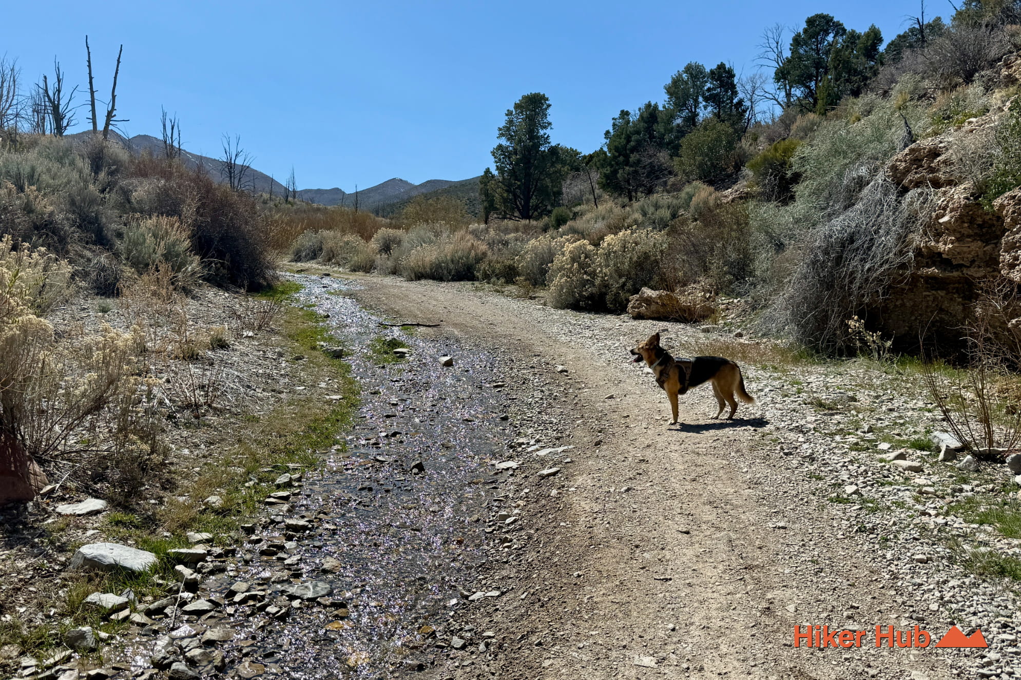
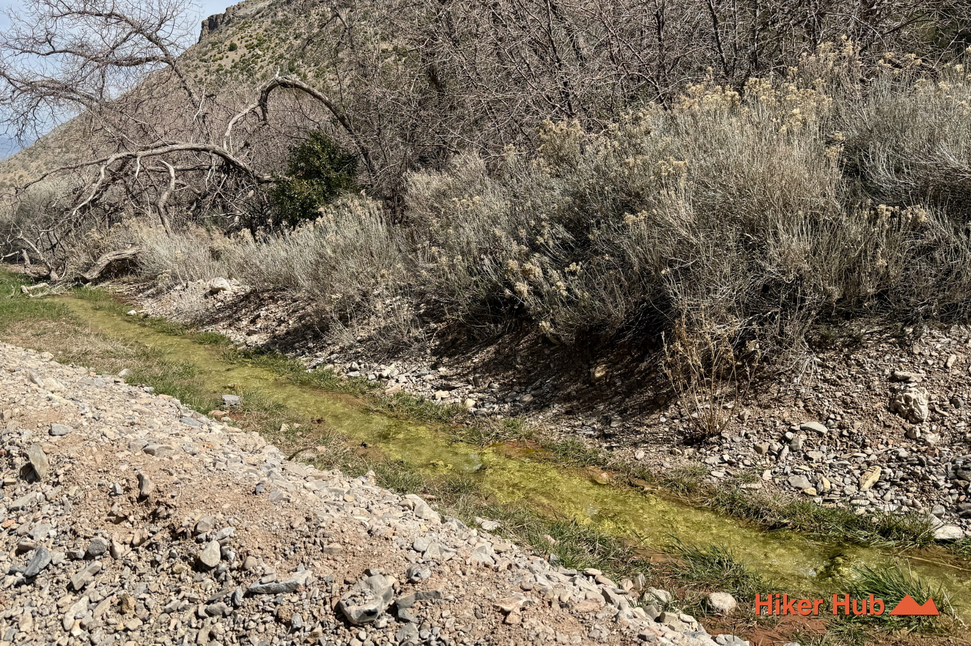
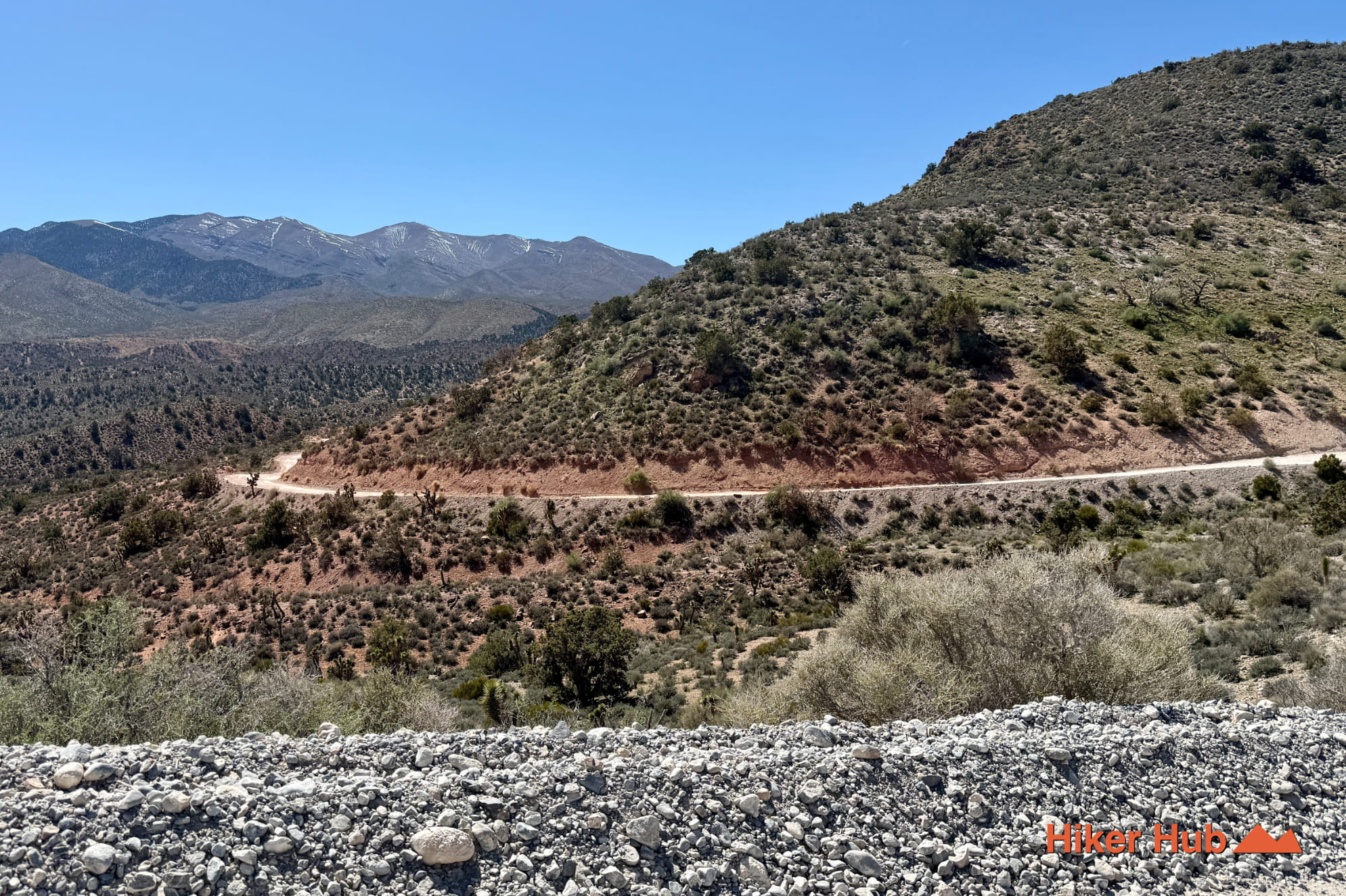
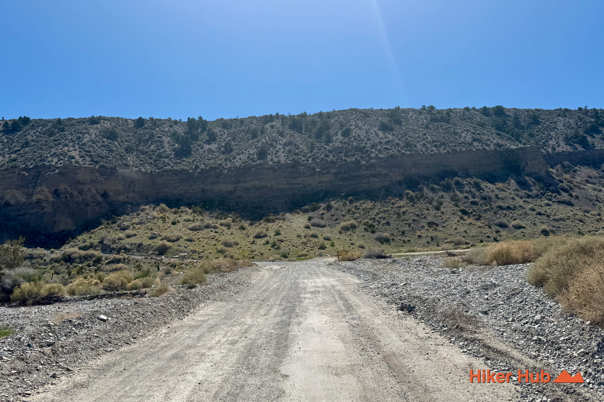
This Mt. Charleston OHV trail is suitable for most vehicles. There's several bumpy sections, but this is largely a dirt road aside from the end—which may be the best part. The end is a pathway leading up a seasonal stream flowing down the mountain. Slowly driving up this area is a beautiful experience. Otherwise, park at the bottom and walk the 15-20 miunutes up the mild incline. You'll pass the tree shown in the video, eventually reaching the point where the stream disappears—potentially due to water blockage via shale rock barriers beneath the ground. The stream will begin to present itself as you near the end of the trail. Follow it up as far as it goes. If you're unfamiliar with Mt. Charleston, it's also known as the Spring Mountains National Recreation Area—roughly 45 minutes from Las Vegas/ The Strip.
This Harris Springs Road OHV route in the Spring Mountains National Recreation Area (SMNRA) leads into remote desert terrain and, under the right conditions, a seasonal stream. Unlike more established hiking trails, this route is primarily accessed by vehicles and offers a different way to explore the Mojave landscape.
The route begins off Harris Springs Road and quickly transitions into a bumpy, off-road experience. Most cars should be able to make it through here at slower speeds as there's no astronomical off-road obstacles. It's certainly quite bumpy in sections. Expect uneven surfaces, loose rock, and places that may require careful driving depending on conditions. This is not a maintained trail, and route-finding may be required in certain areas.
One of the defining features of this route is the presence of a seasonal stream, typically flowing after periods of rain or snowmelt. Water availability varies significantly throughout the year, and the stream may be completely dry during extended dry conditions. When present, it provides a rare and striking contrast to the surrounding desert environment.
The surrounding landscape reflects classic Spring Mountains terrain—rocky desert, scattered vegetation, and wide open views. As the route approaches the stream area, the terrain softens slightly, and pockets of vegetation may become more noticeable depending on recent weather.
A high-clearance vehicle is recommended, and conditions may change. Drivers should be prepared for uneven terrain and avoid the route during or immediately after heavy rain.
This is a remote route with limited traffic. There are no services or reliable cell reception in the area. Always carry sufficient water, let someone know your plans, and be mindful of changing conditions, especially when water is present.
The best time to explore this route is during cooler months or shortly after rainfall, when the seasonal stream is more likely to be present. Spring and late fall offer the most favorable conditions, while summer heat can make both driving and exploring the area difficult.
This route is one of several backcountry trails near Las Vegas that offer access to more remote areas of the Spring Mountains. Compared to more traveled routes, Harris Springs provides a quieter, less-developed experience with the added possibility of seasonal water features.
Recommended gear
Gear picks are matched to this route using distance, difficulty, terrain, and desert conditions.
Disclosure: some links may be affiliate links. Red Rock Hiker Hub may earn a commission at no extra cost to you.
OHV routes
Useful for dirt-road and OHV travel where tire pressure matters.
View air compressorsOHV backup
For sand, loose dirt, and remote vehicle routes where self-recovery matters.
View traction boardsOHV routes
A common off-road tool for airing down before rough dirt roads.
View tire deflatorsWater carry
Useful for exposed desert routes where one small bottle is not enough.
View hydration packsShade
Simple shade matters on open desert terrain, sandstone slabs, and long approaches.
View hiking hatsSun protection
A lightweight sun layer is one of the most useful pieces of gear for Red Rock exposure.
View sun hoodies