Water carry
3L Hydration Pack
Useful for exposed desert routes where one small bottle is not enough.
View hydration packsRed Rock Canyon, Las Vegas
.21 miles • Easy • Trail
Conditions, access, and regulations can change. Always verify current information and assess safety before visiting.
Offline maps coming soon. Be first to access downloadable routes.
Some listings may be paid partnerships.
Know a useful stop near this trail? Suggest a business
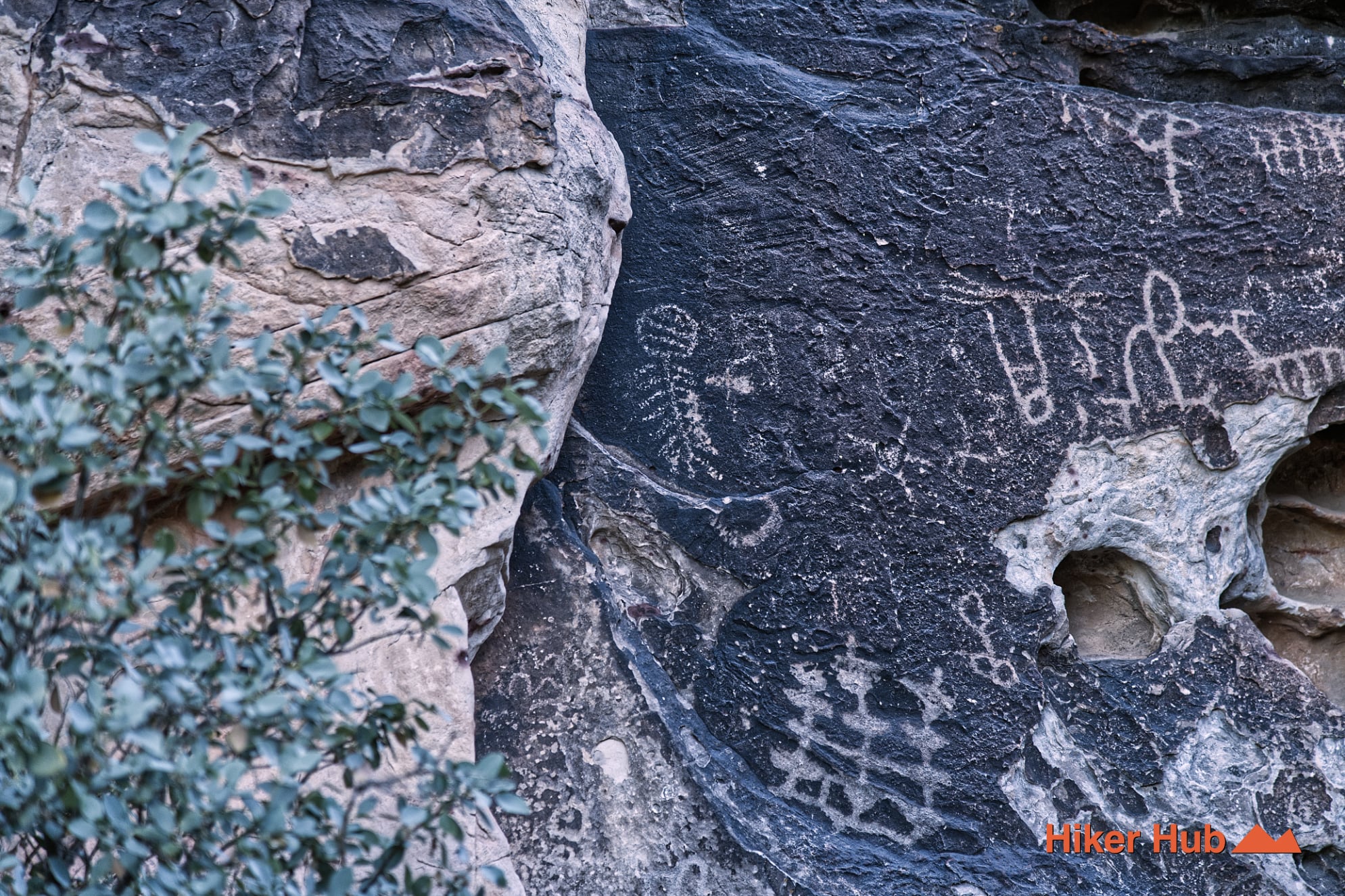
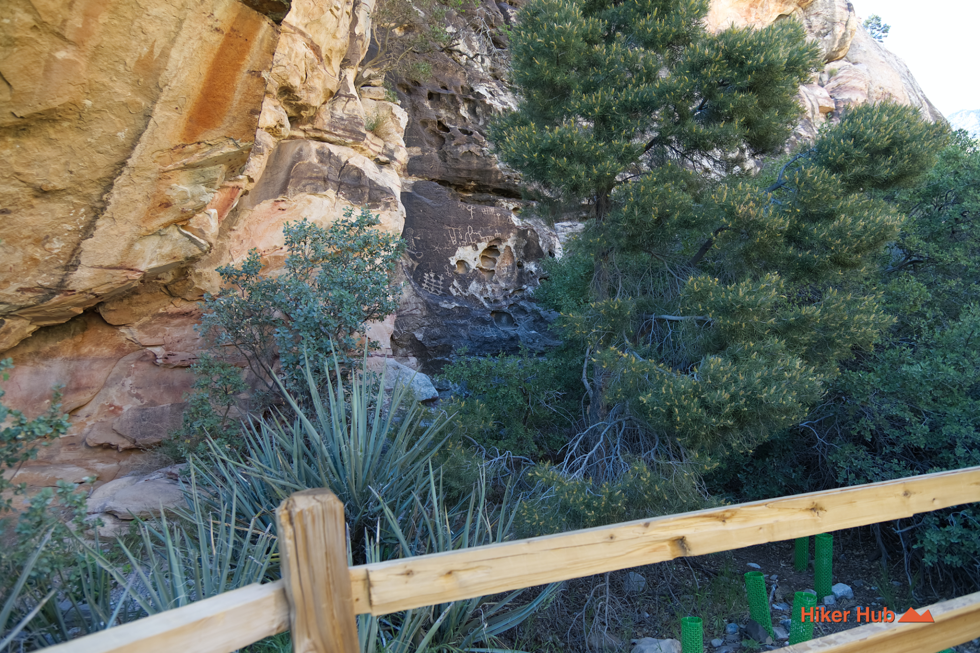
Petroglyph Wall Trail is a very short cultural hike reached from the final parking area at Willow Spring Picnic Area on the Red Rock Canyon Scenic Loop. The route crosses a rocky wash and ends at a protected panel of historic rock writing created by Indigenous peoples over a long span of occupation. Its mileage is modest, but its significance is not: this is one of the clearest places in Red Rock Canyon National Conservation Area to understand that the landscape was lived in, traveled through, and cared for long before modern roads, trail maps, or the Red Rock Canyon Visitor Center existed.
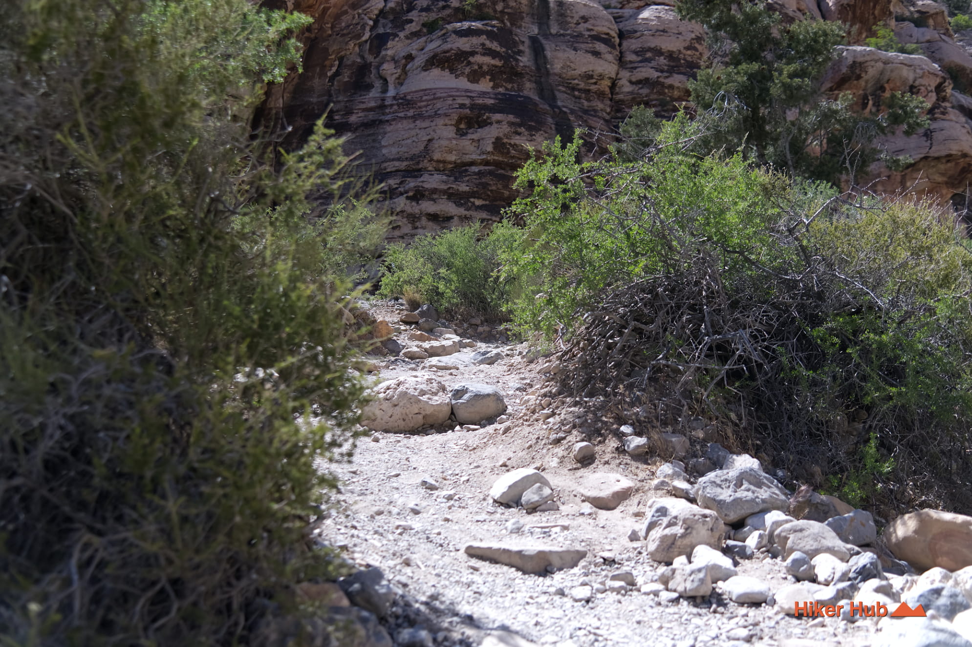
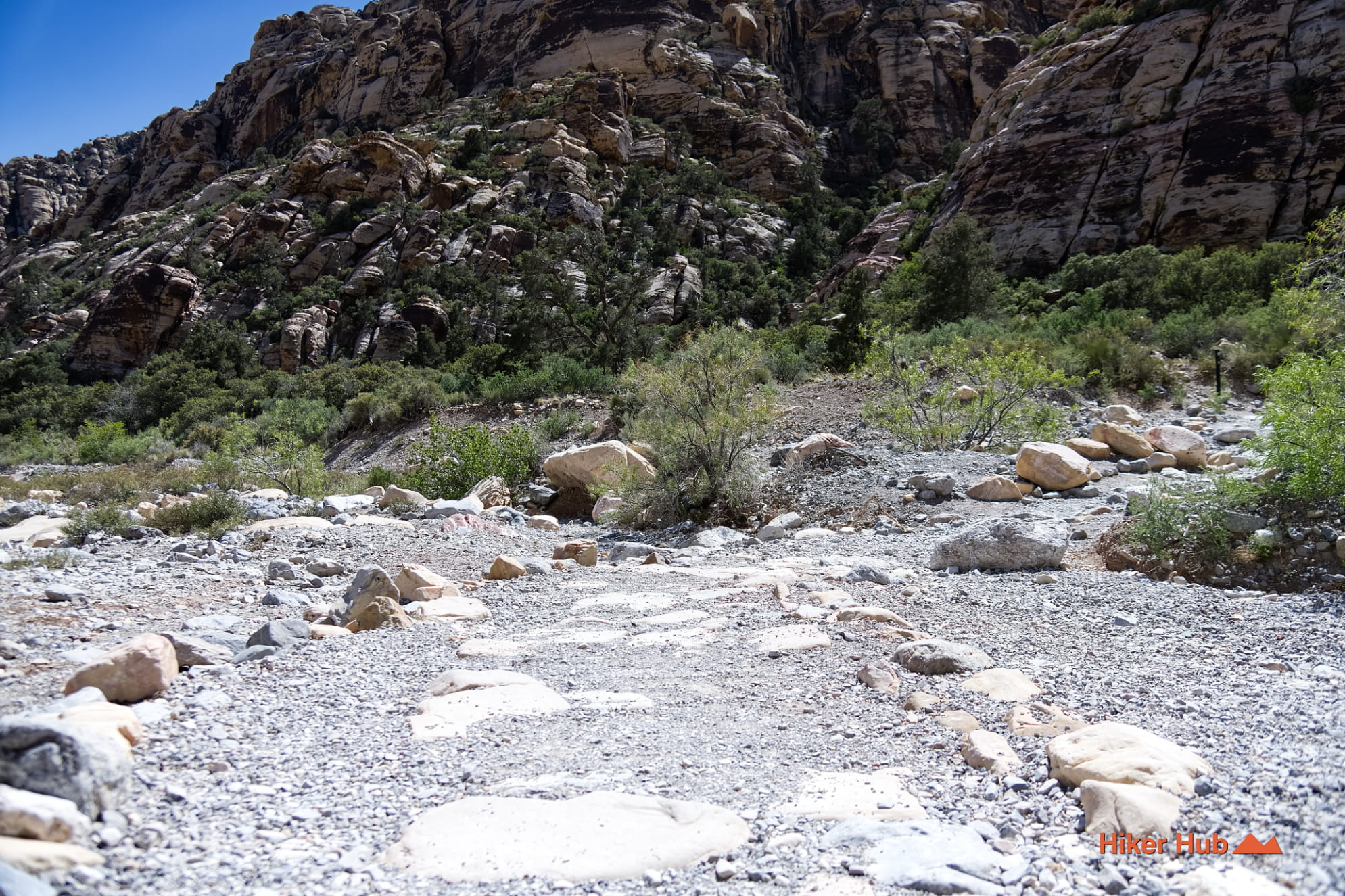
From the trailhead, the path drops into a gravelly wash before continuing to the panel and interpretive signage. Once across, take time to read the signs rather than treating the wall as a quick photo stop. The carvings and paintings represent hundreds—and possibly thousands—of years of human presence in the American Southwest.
The exact age, meaning, and cultural affiliation of every image cannot be determined by appearance alone. It's more accurate to describe the panel as part of a living Indigenous cultural landscape than as a collection of anonymous decorations. The broader Willow Spring corridor contains roasting pits, shelters, rock writing, and other protected evidence of how people used water, stone, plants, and wildlife in the Mojave Desert.
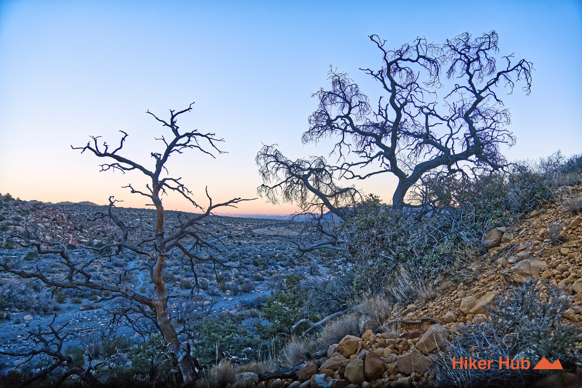
Water explains much of the area’s importance. Red Rock Canyon contains springs and natural catchment basins that concentrate plants and animals in an otherwise dry Nevada desert. Willow Spring sits near a transition among washes, limestone ridges, sandstone walls, and sheltered canyon pockets. Those features provided access to water, nourishing plants, game, shade, and travel corridors.
Continue the broader story on the easy Willow Springs Trail or the interpretive Lost Creek Canyon Trail. Stronger hikers can connect toward White Rock Hills Loop, where white rock, red sandstone, natural springs, and higher terrain show how quickly Red Rock Canyon geology changes. This Mojave Desert photo story provides a wider visual context for this relationship between dry land and concentrated water.
Do not touch, trace, chalk, wet, climb beside, or add marks to the panel. Skin oils, repeated contact, and modern scratches can permanently alter a surface that has survived for centuries. Defacing archaeological resources on federal land can lead to serious criminal penalties, but the larger issue is irreversible loss: once a line is damaged, its cultural information cannot simply be restored.
A widely reported graffiti-removal effort elsewhere in the conservation area showed how difficult cleanup can be even when trained crews use specialized materials. The incident near Ash Spring is described in this report on Red Rock Canyon vandalism. Prevention is far less damaging than removal. Report new vandalism to the BLM rather than attempting to clean it yourself.
October through May offers the most comfortable weather. Avoid entering the wash during rain or when runoff is moving, and remember that summer heat can become severe even on a short walk. Willow Spring is a popular stop on the Red Rock Canyon Scenic Loop, so weekends, holidays, and late mornings can be busy. An early weekday visit is better for quiet observation and introspection.
Petroglyph Wall works well for families, first-time visitors, photographers, and anyone looking for meaningful things to do in Las Vegas beyond a long summit hike. It's not a conventional overlook or workout trail. Its high point is the opportunity to slow down, read the landscape, and leave an irreplaceable cultural place exactly as you found it.
Recommended gear
Gear picks are matched to this route using distance, difficulty, terrain, and desert conditions.
Disclosure: some links may be affiliate links. Red Rock Hiker Hub may earn a commission at no extra cost to you.
Water carry
Useful for exposed desert routes where one small bottle is not enough.
View hydration packsShade
Simple shade matters on open desert terrain, sandstone slabs, and long approaches.
View hiking hatsSun protection
A lightweight sun layer is one of the most useful pieces of gear for Red Rock exposure.
View sun hoodiesFooting
Better traction helps on loose gravel, sandstone, rocky washes, and steeper trails.
View trail shoesHeat support
Helpful on hot days, longer hikes, and steep routes where plain water may not be enough.
View electrolytesSkin protection
Small, easy to carry, and useful on nearly every Southern Nevada trail.
View SPF essentials